A lot of people know Coyote Buttes North and South and White Pocket. But there are much more scenic spots to discover in this region, which even don´t need a permit to be allowed to visit them. One of this spots is Steamboat Rock. The name comes from the shape of this lump of rock, which looks like a steamboat.
Before we start, here a short comment: If one starts sweating, when driving through Coral Valley, then he should think twice, before going on this trail.
The trail is comparable to the route towards Cottonwood Spring, with one obstacle. But this you can see later.
We started from House Rock Valley Road via Paw Hole to the start of the CBS permit area. If one searches in the internet, he can get some information about this route (link). Directly after passing the gate at the permit area, a spur trail goes to the right. When we drove it, the trail lead around 100 meters then the previous driver turned around, so that we had to create the spur to Steamboat Rock again.This part of the trail is within the Coyote Buttes permit area, but it is officially allowed to use this trail (at least at the time, we were driving it).
We also asked at the Paria Contact Station about the route quality, but noon of the rangers could tell us anything about the trail. They told us, that they are not driving this route and one should not expect to get help there, if coming into trouble. This seemed to be the perfect route for us.
House Rock Valley Road was in good shape this day:
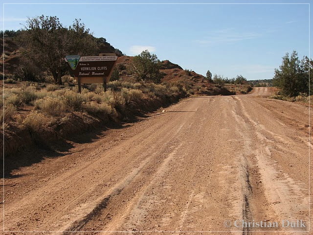
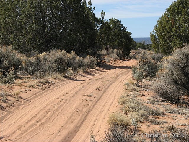
The ongoing trail was also pretty nice.
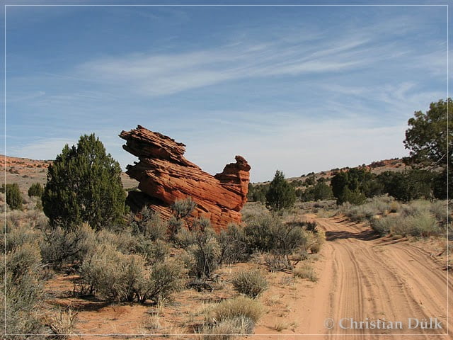
On the way we saw this sitting hen:
The surrounding was also very scenic.
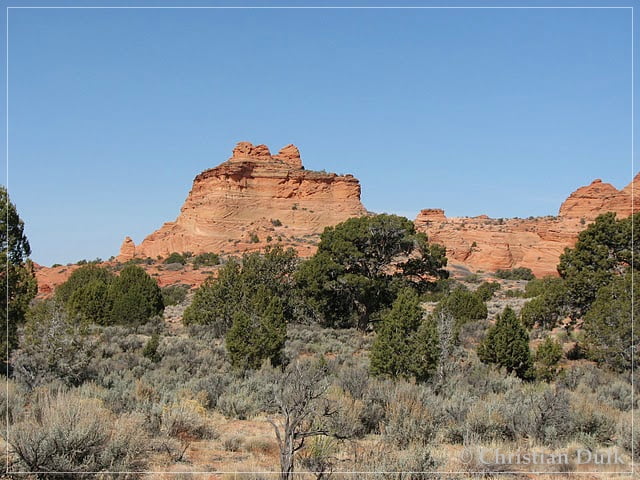
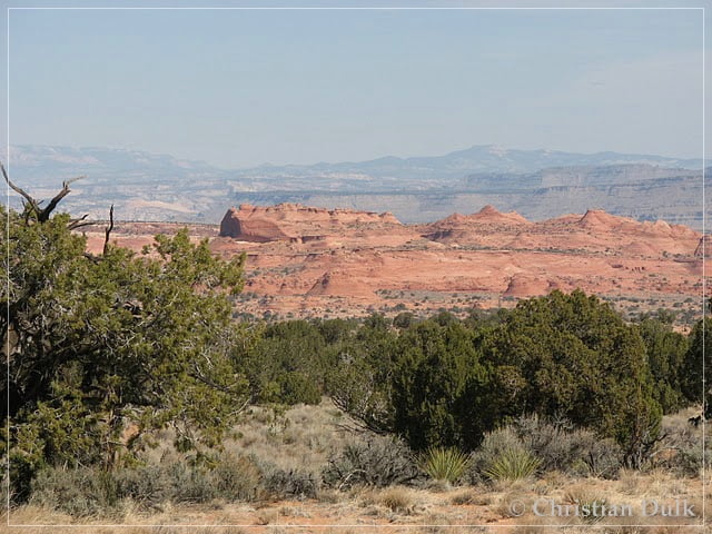
After passing the gate at the CBS permit area we are turning to the right. Soon one has a good overview over the target region:
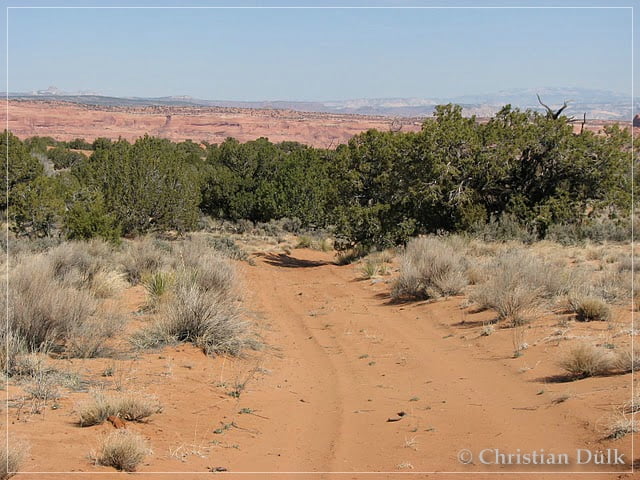
One might think this is all easy going. But one should not forget, that you have to drive on the way back everything uphill. Steamboat Rock comes closer and closer, but the trail still goes downhill.
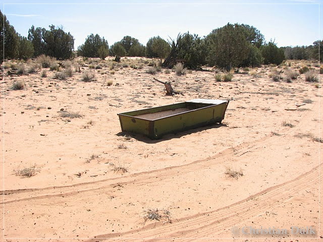
After passing this watering place for the cattles, you arrived at the parking area.
From here it is a 1,5 km walk towards Steamboat Rock.
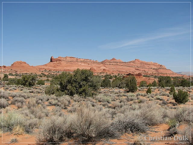
If you are turning by 180°, White Pocket is clearly visible:
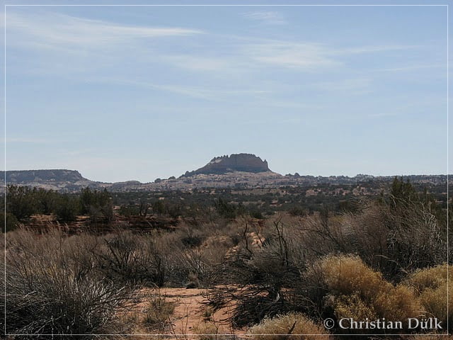
If you are coming closer to Steamboat Rock, one can find structures, similar to Moki Marbles:
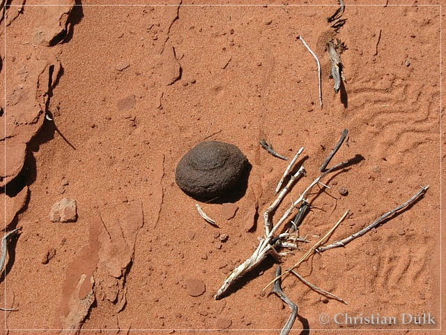
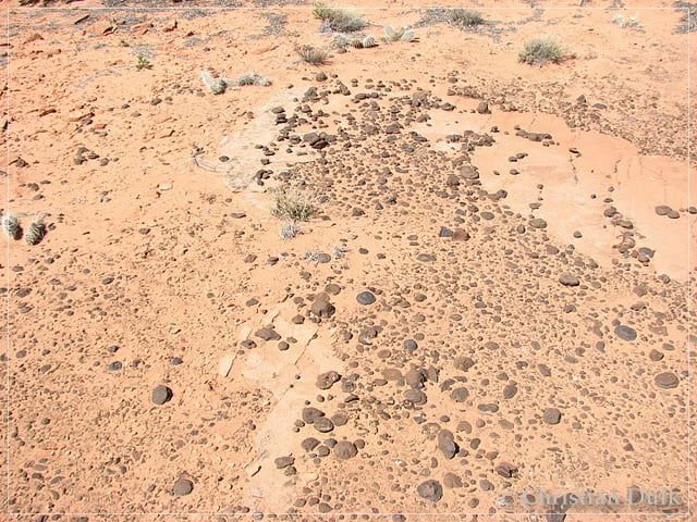
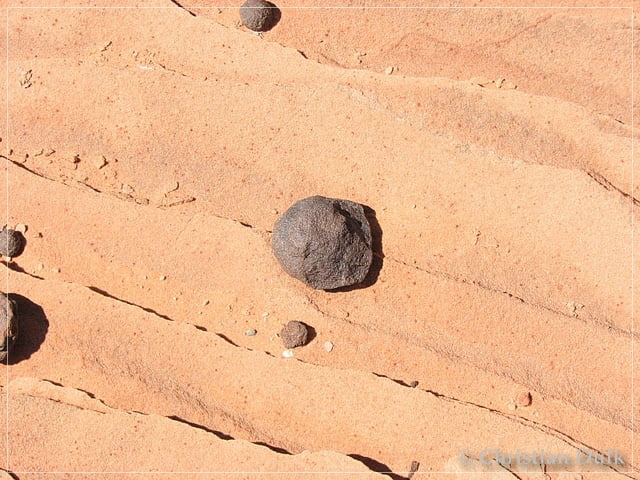
This ones are not as beautiful as the ones at Moki Hill, but one can sse, how this pices are coming out of the sandstone.
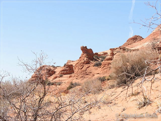
We are continuing to walk towards the tail of the steamboat’. There I wanted to find The Window’, but I was not successful. Here a few pictures from this part of Steamboat Rock:
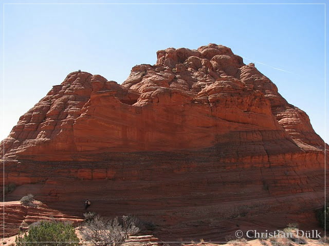
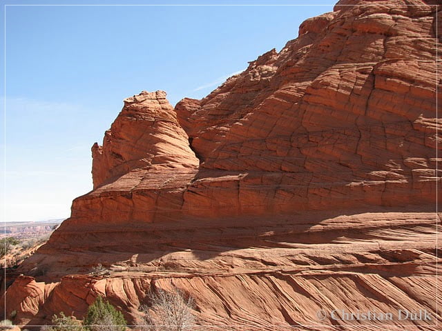
As my wife wanted to have a break, I proceeded along the outer side of Steamboat Rock, to get some nice shots.
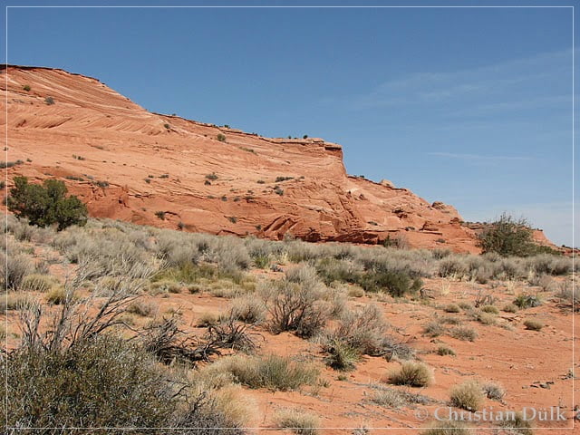
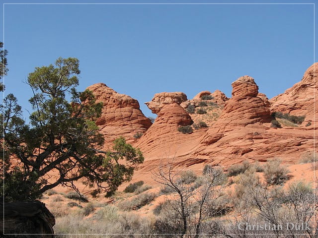
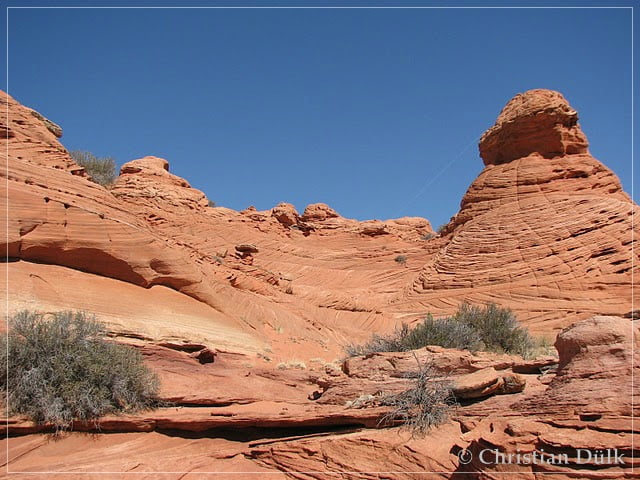
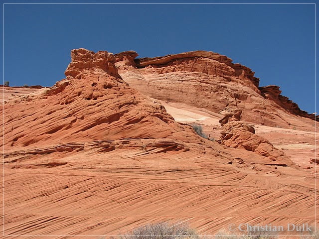
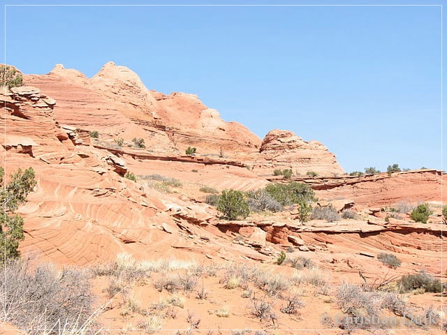
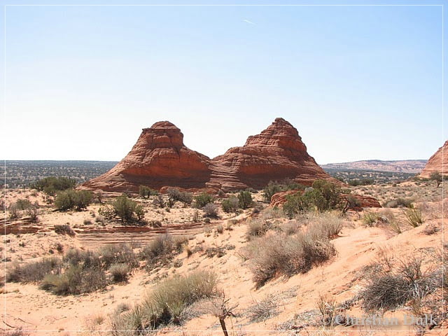
I also found a frog, sittig on the sandstone:
After some time we went back to our Jeep to have enough time for the uphill drive.
From here we started to work our way back to the gate at the Coyote Buttes South permit area:
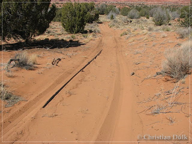
Now it is just giving one direction: Uphill !!
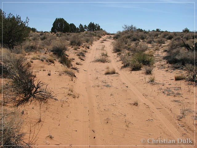
Here a view back on the trail….
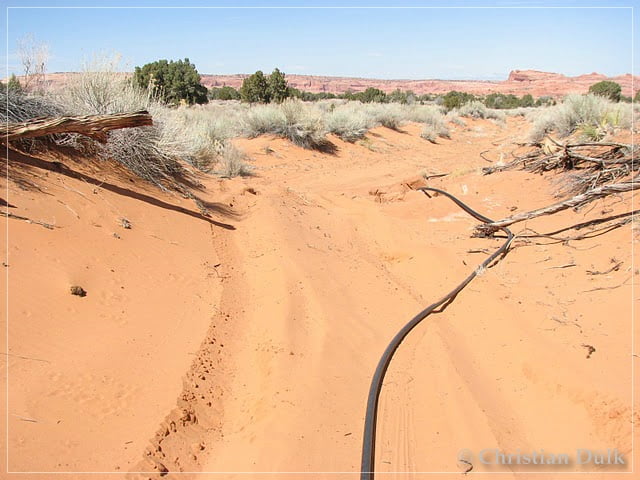
…..before we reach the main obstacle (at least for us). The spur goes to the left in a 90 degree angle through very deep sand of this hollow trail. We tried quite a few times to go up this steep sand hill.
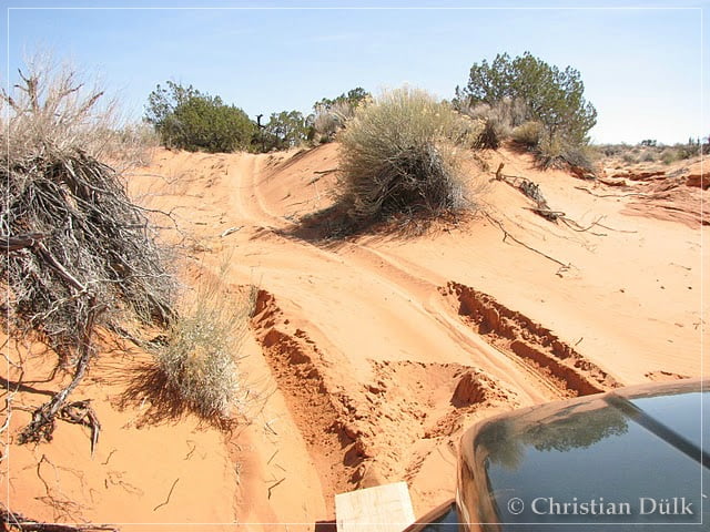
Finally we completely digged our Jeep in the sand. After 1,5 hours of digging and searching for stones, we were able to free our vehicle. Our hydraulic jack was a great help for us, otherwise, I am pretty sure, we would have needed a much longer time. We had to lift the Jeep at the tires, because there was not enough space between the sandy walls on the left and right side of the vehicle.
Unfortunately we did not take pictures from our Jeep, when it was sunken in the sand. The following pictures you can see our battlefield’:
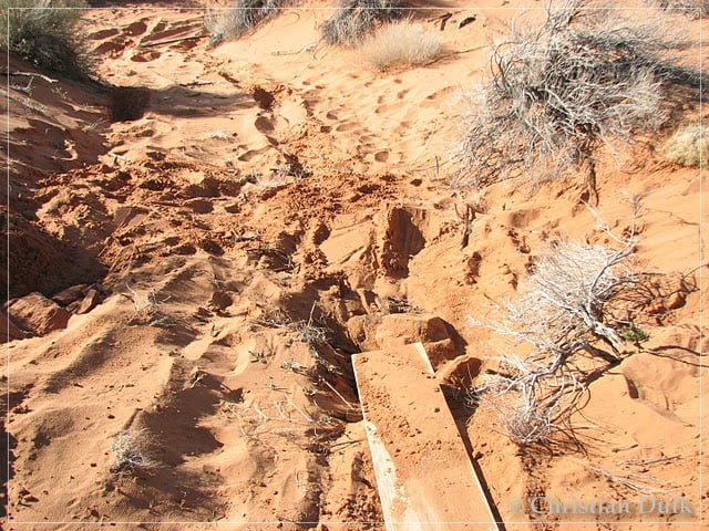
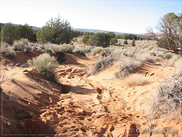
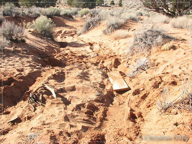
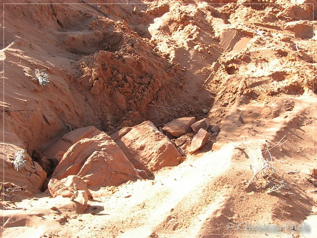
The last shot gives an impression, how deep our wheels were digged into the sand. We had to find boulders, which we could staple under the lifted tires, which was not easy at all.After filling the holes, it was easy to go up this exit from the hollow part of the trail. Maybe it is enough, so that following vehicles are able to pass this part without a problem.
Overall this was a very exiting trip, so that we plan to do it again next time. Than we want to drive the new Sand Hills Loop, which loops back to the trail, which comes from the Sand Hills Ranch.
Here one can also download a gpx file of this trip:
Tracklog: Steamboat Rock, Vermilion Cliffs NM (1544 downloads )
And the map gives an overview over the region, we visited:


