On our 2012 US trip we already drove along the southwest rim region and visited Bush Head Valley in the Vermilion Cliffs NM. The next day we planned to go up to the far away northeast end, where a lot of fantastic overlooks should be located on the Paria Plateau. It should also be possible to see Lake Powell from there.
We picked up Mike at Cliff Dwellers Lodge and drove along US89A to House Rock Valley Road (turnoff at 12S 40660X 406558X (UTM/NAD27)). House Rock Valley Road was in perfect condition this day. The weather was also perfect.
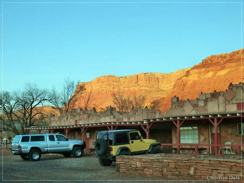
After leaving US89A, we followed House Rock Valley Road until we reached the wellknown turnoff into Coral Valley at 12S 40532X 407987X. We turned right here and at 12S 40980X 407958X we continued on Pine Tree Road towards Pinnacle Valley. We already drove here two days before on our way to the southwest rim region.
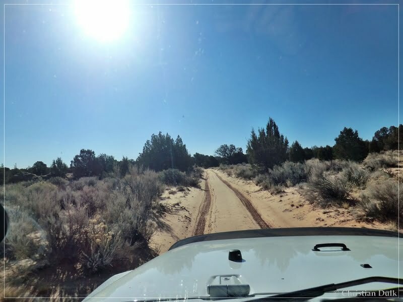
At 12S 42068X 407435X we arrived at a fork. Both ways go down into Pinnacle Valley. We again drove left to stop at the ranch down there.
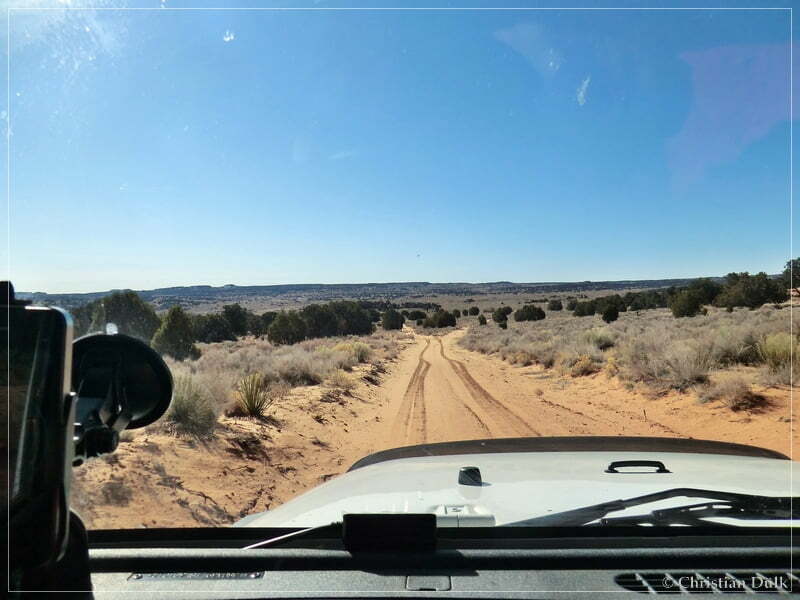
An easy trail led down into Pinnacle Valley.
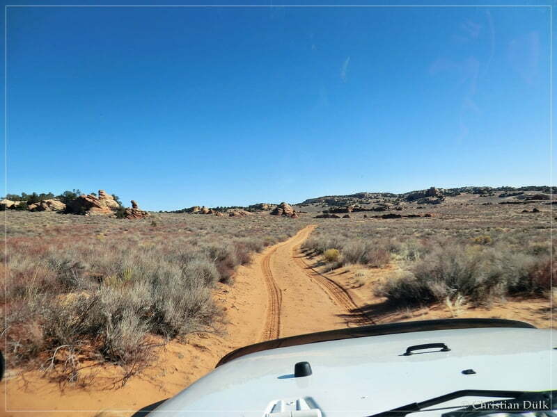
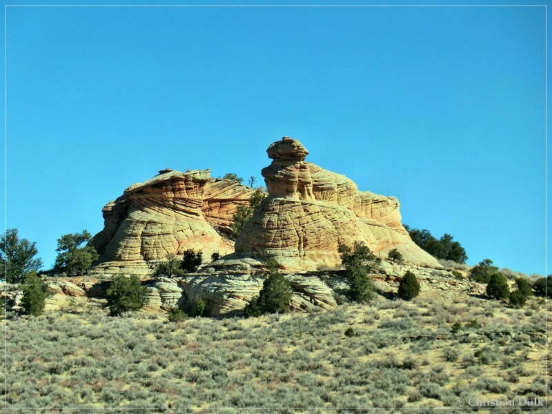
The following picture shows the ranch from the trail:
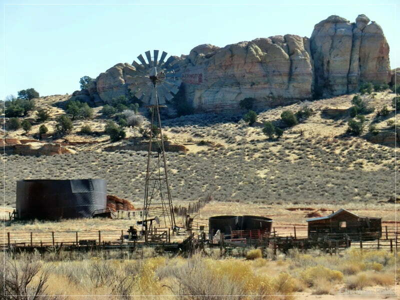
We made a short stop and checked out again the ranch.
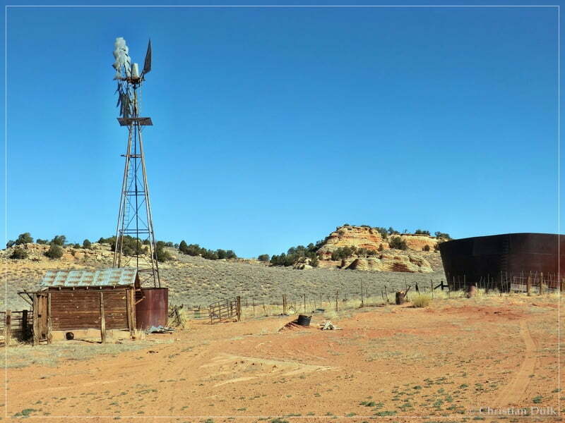
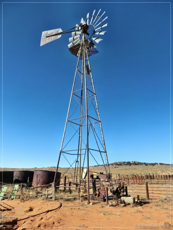
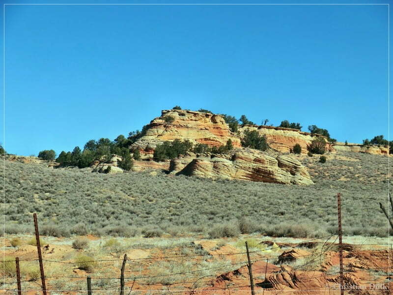
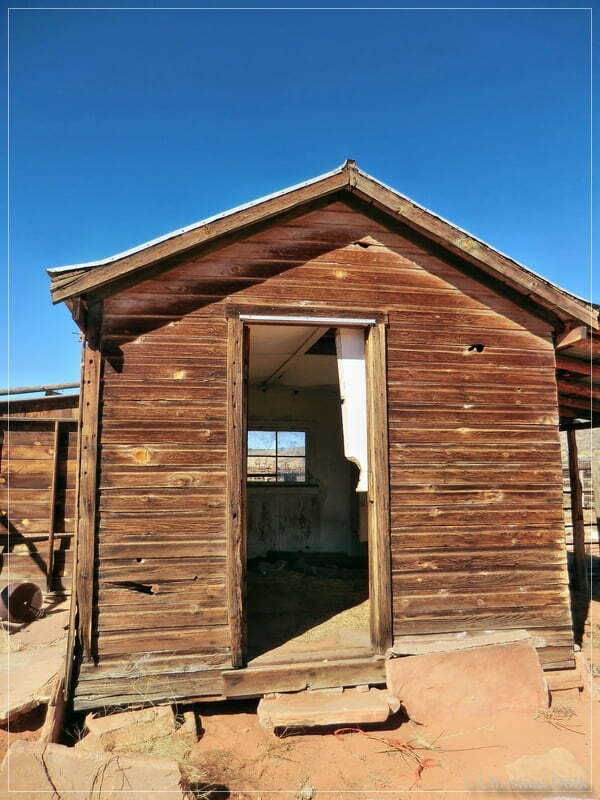
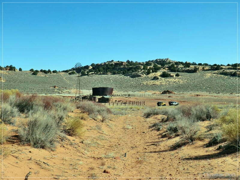
Then we left the ranch and continued on the trail.
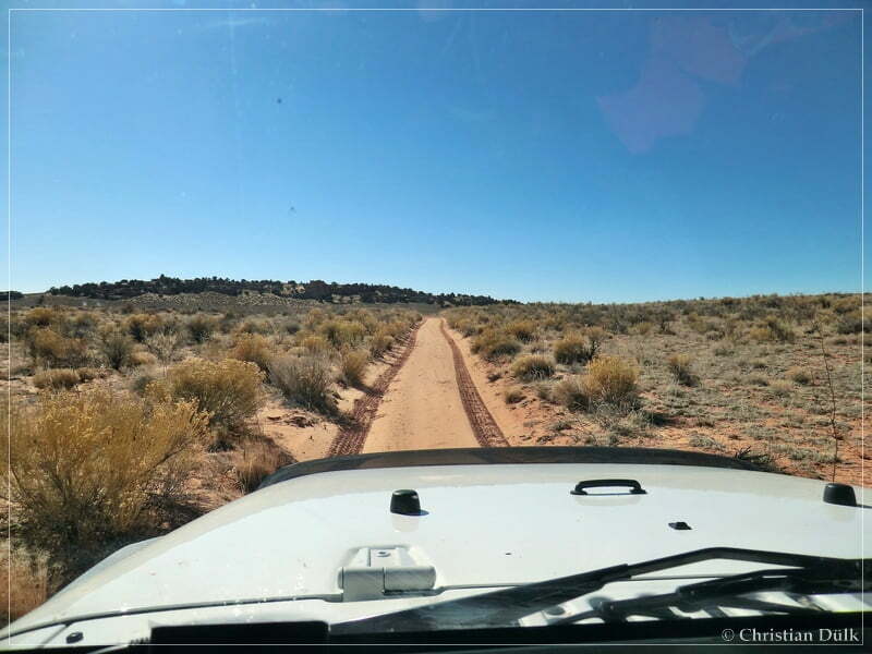
At 12S 42274X 407355X we reached a fork. Our tracks from two days before were still be visible, where we drove straight to reach the southwest rim region. This time we went along the left trail. Via Cathedral Valley we should reach the upper route.
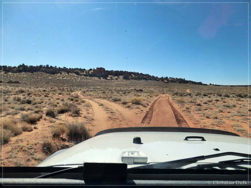
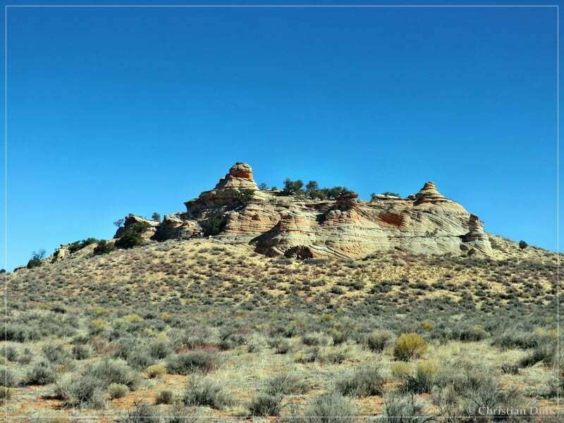
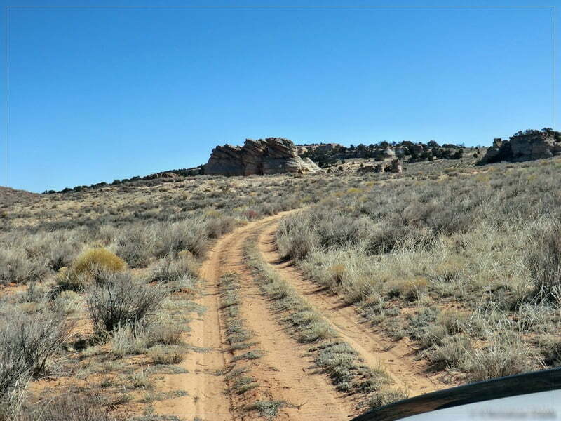
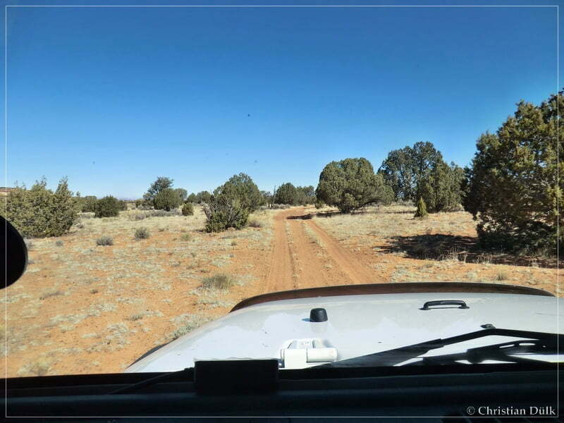
The following pictures show the vicinity along the way:
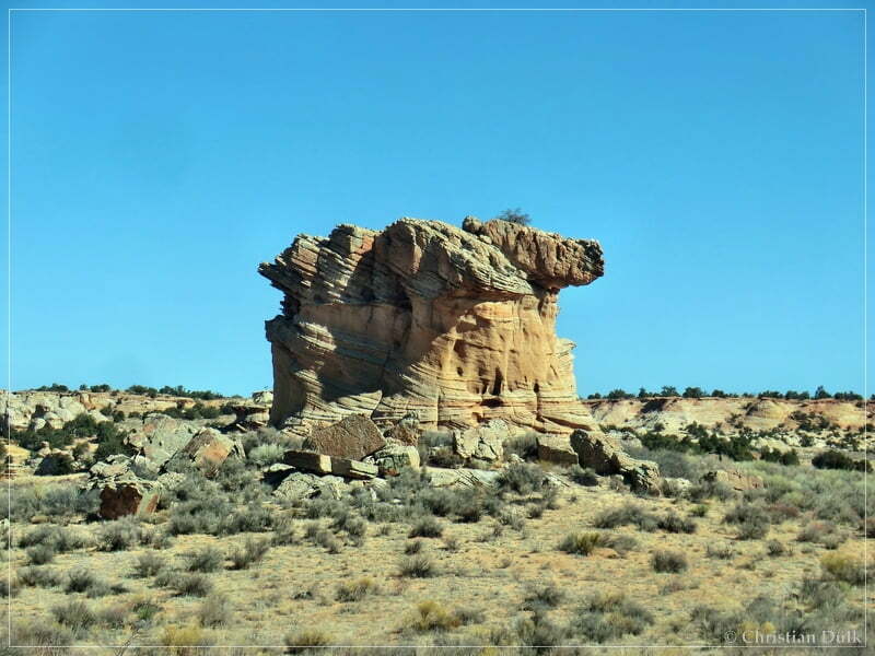
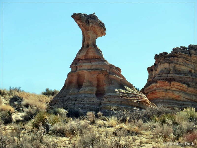
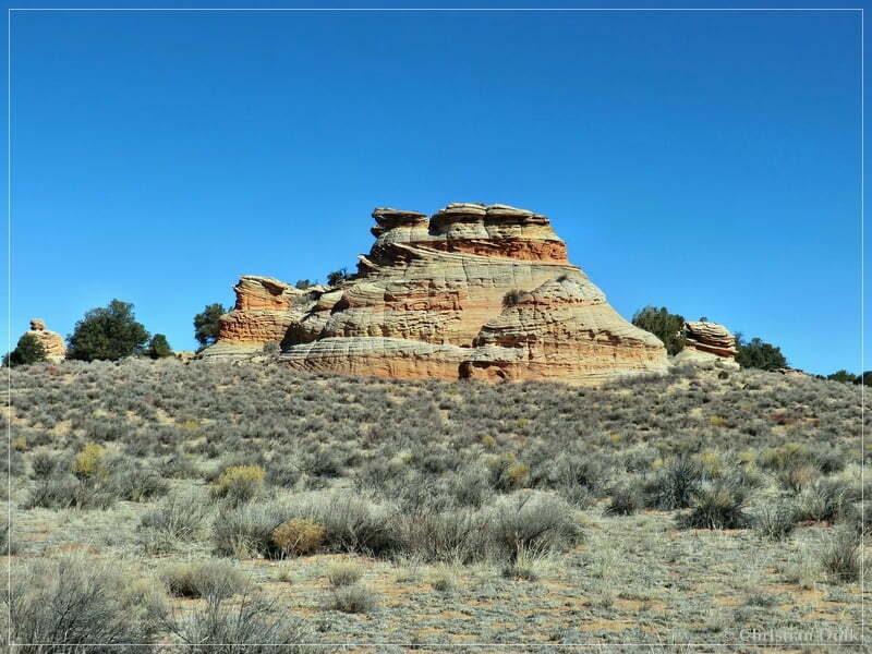
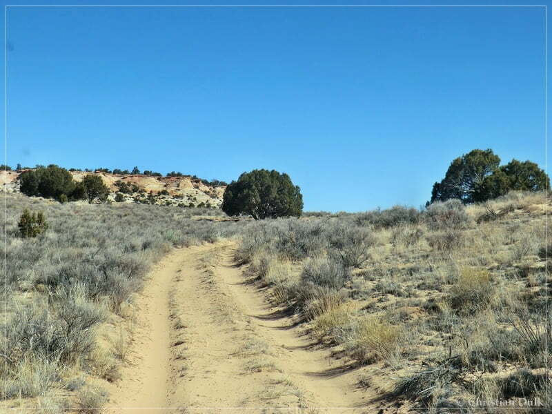
We passed Middle Knoll:
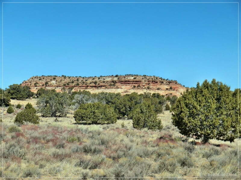
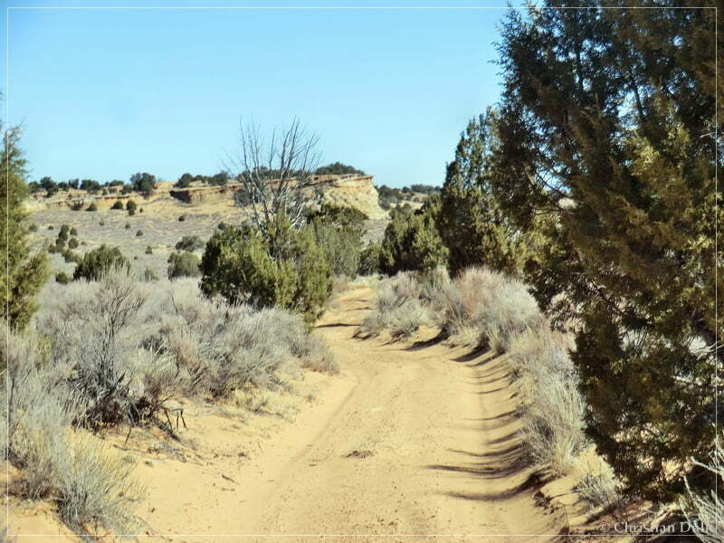
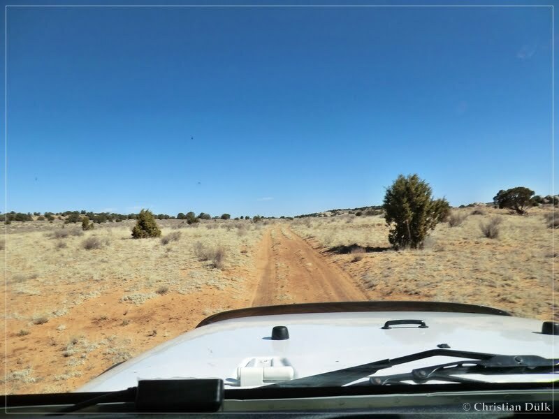
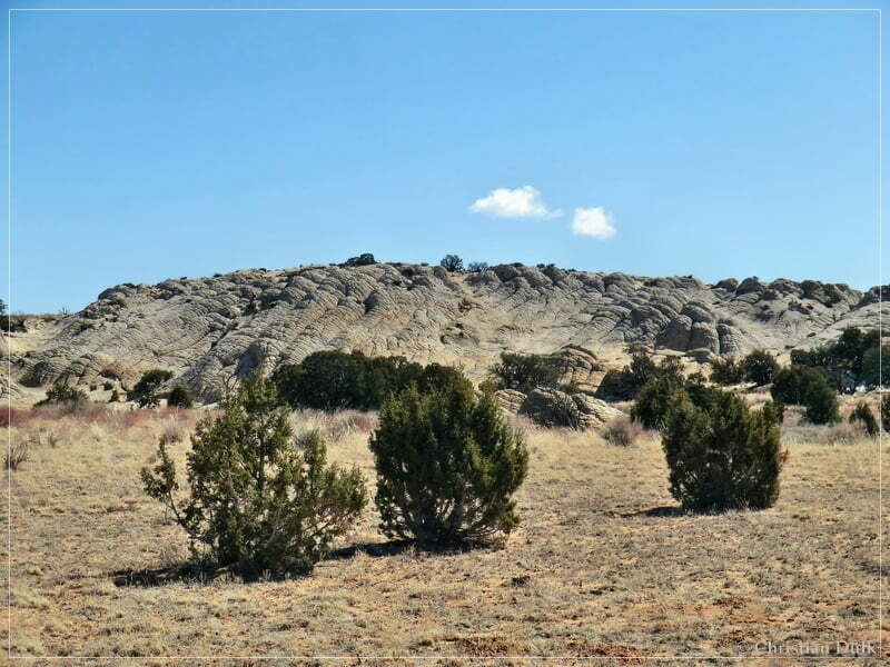
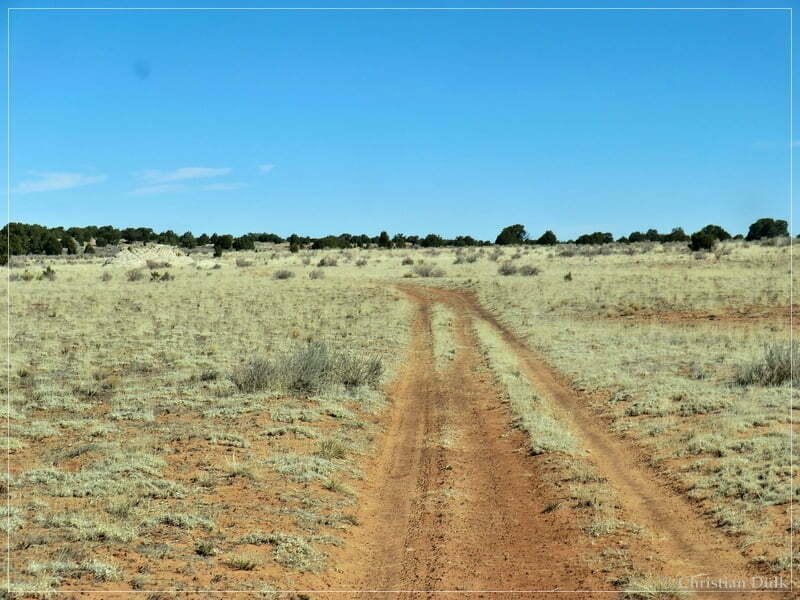
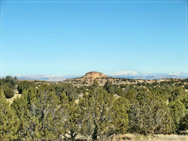
And soon, we were able to see Little Knoll. This indicated, that we reach soon the upper route:
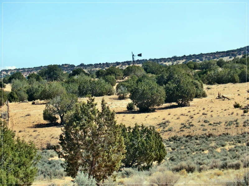
In the background, the windmill at Middle Reservoir got visible.
At 12S 42759X 408107X we met the upper route. We turned right and followed the trail.
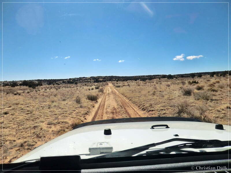
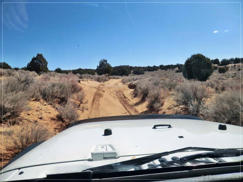
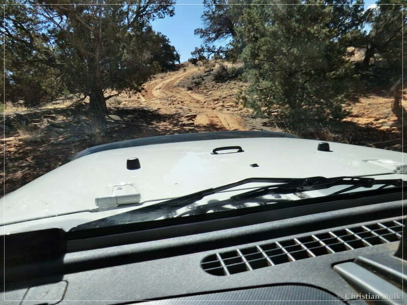
At this point we followed our tracks from the day before, where we went to Bush Head Valley.
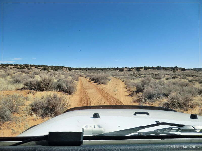
At 12S 43136X 407901X we did not turn left into Bush Head Valley. We continued straight.
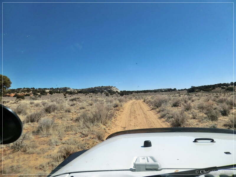
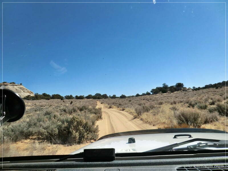
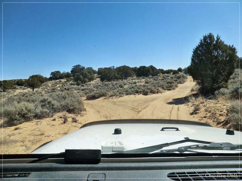
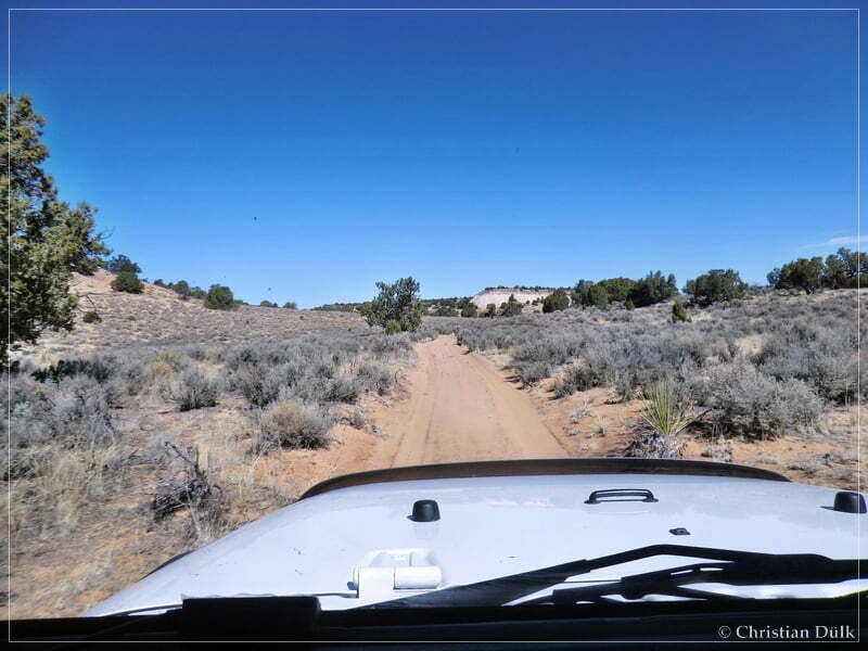
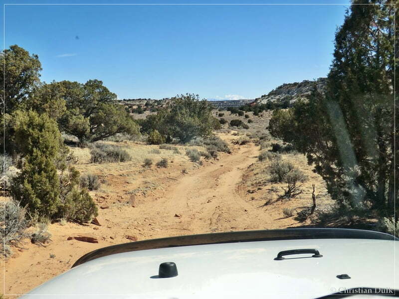
At 12S 43309X 407883X we turned left towards Horse Ridge. The trail straight led to Shed Valley. On the way to Horse Ridge it got more and more sandy.
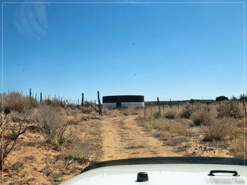
On the way, we passed a water tank:
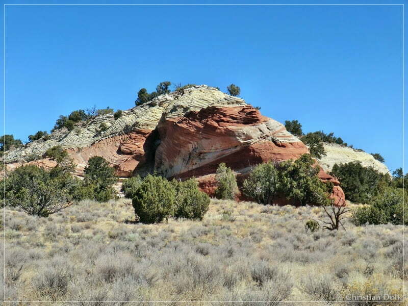
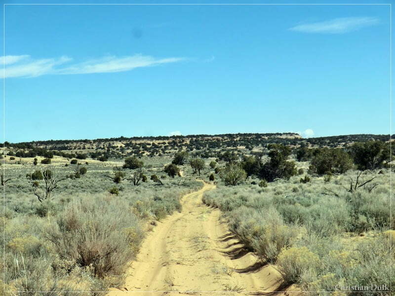
Then the trail continued almost straight.
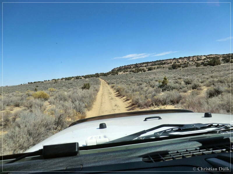
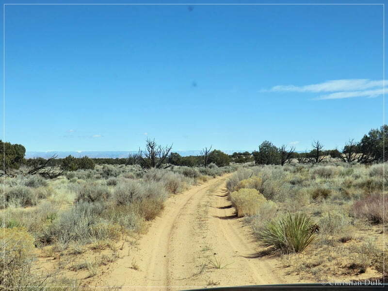
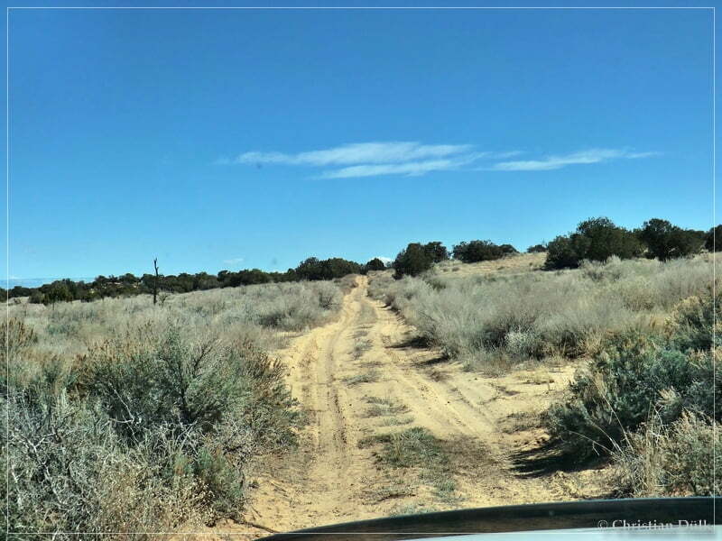
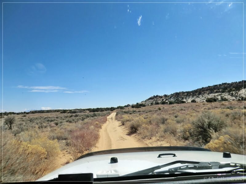
At 12S 43932X 408257X we turned left to the first overlook. There was already a turnoff at 12S 43746X 408273X to an overlook, but according to some informations, we had (thanks Darlene, Emily, Bob and Ken), this overlook was not so interesting as the ones, which have been in front of us.
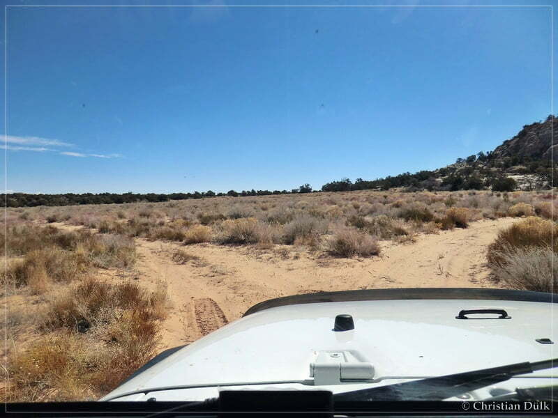
A gate blocked our way:
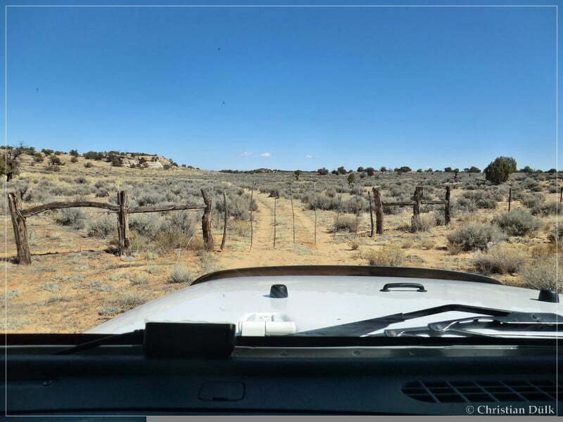
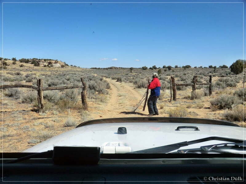
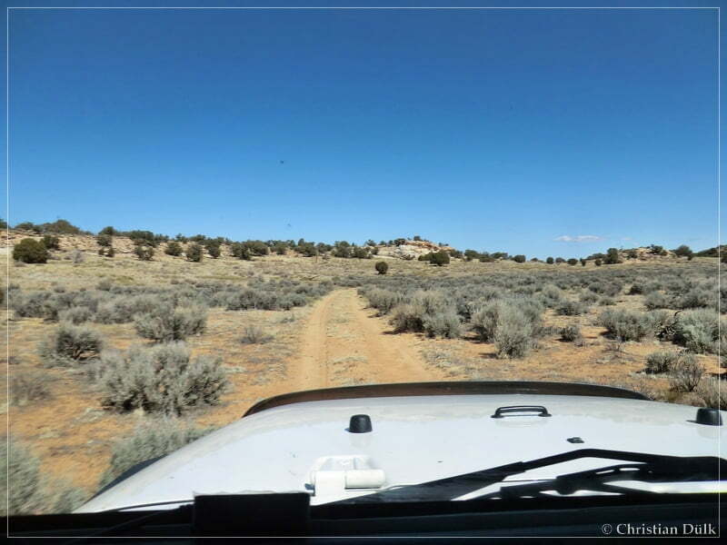
Shortly after the gate we reached a turn around spot, where we waited for Mike, our companion. This parking area is located at 12S 44048X 408466X.
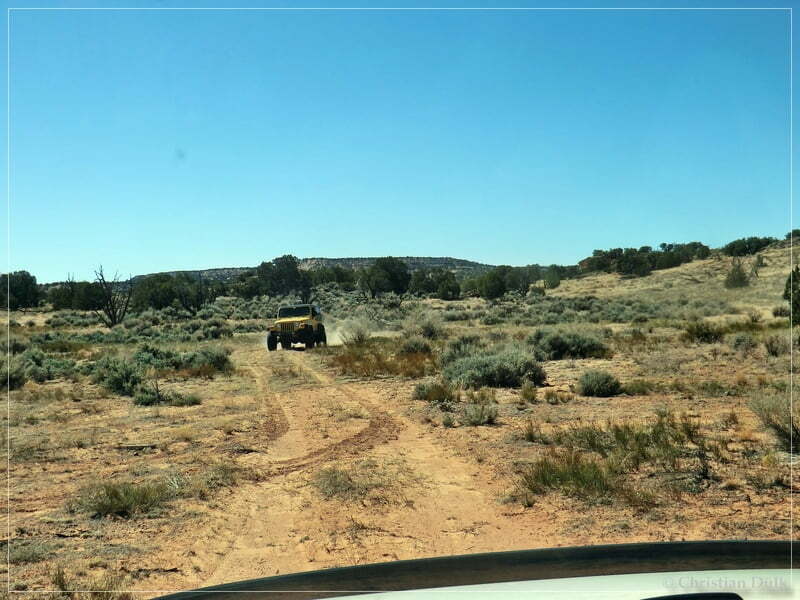
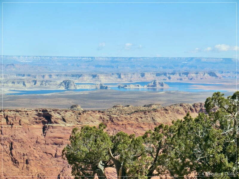
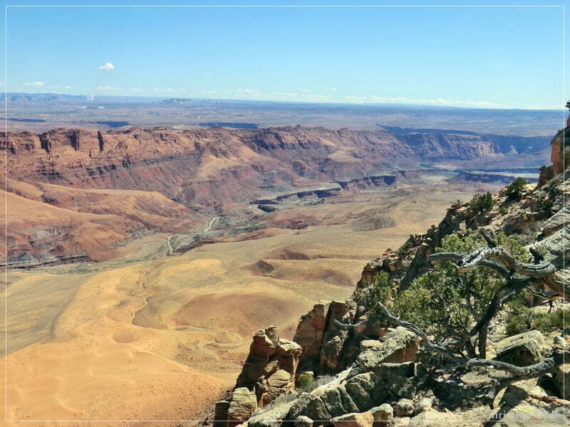
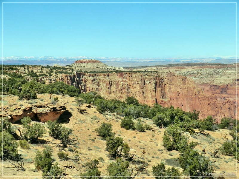
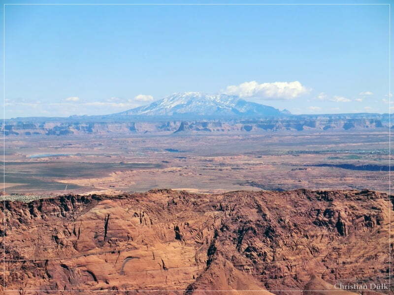
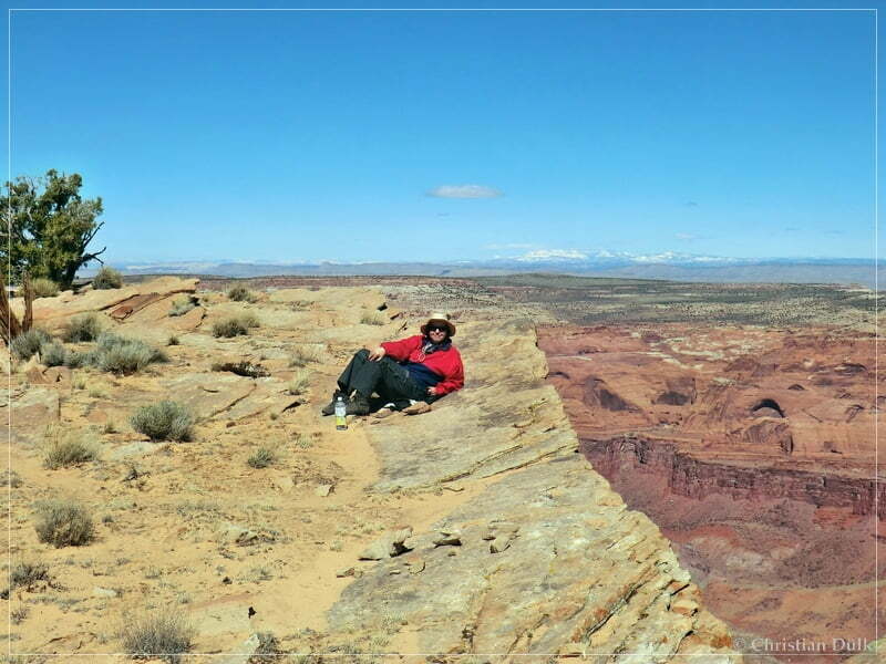
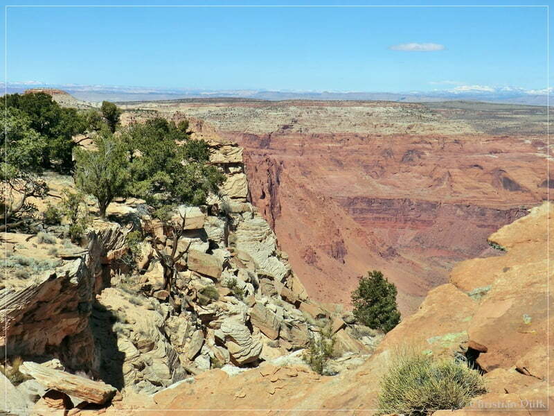
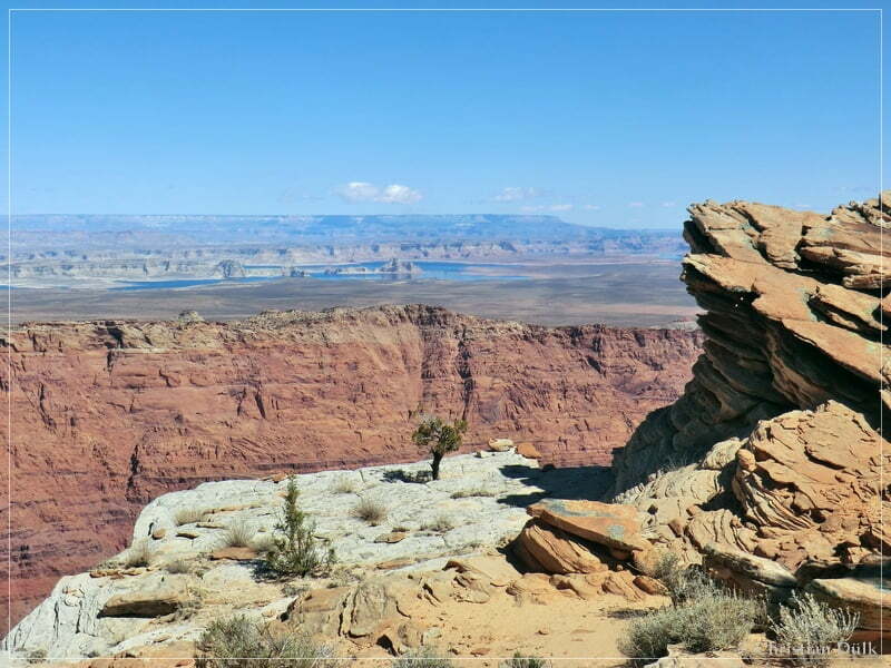
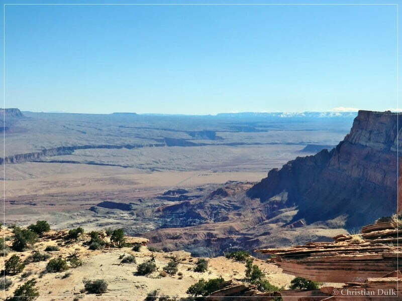
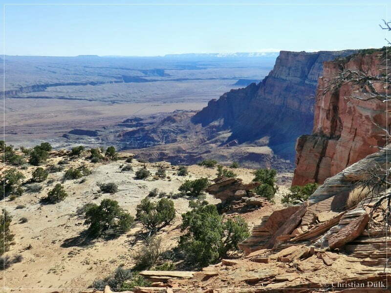
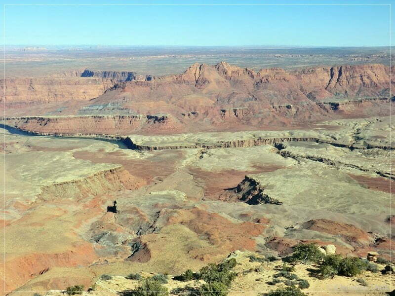
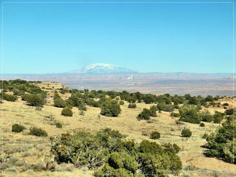
A short hike led us to the rim region and the view was incredible. Lake Powell was clearly visible:
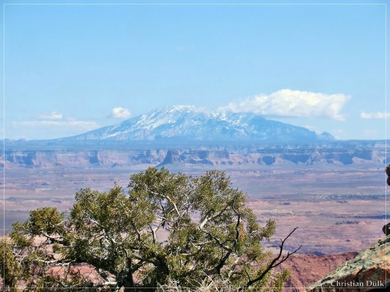
Navajo Mountain in the background:
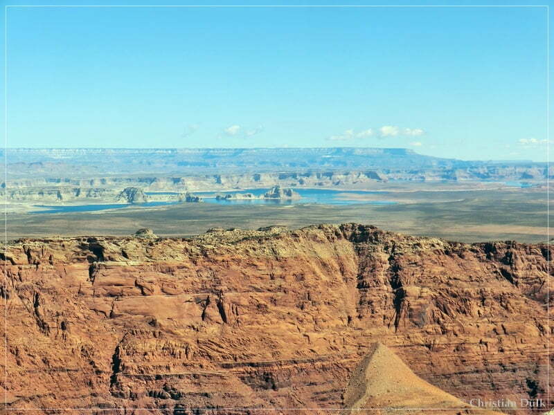
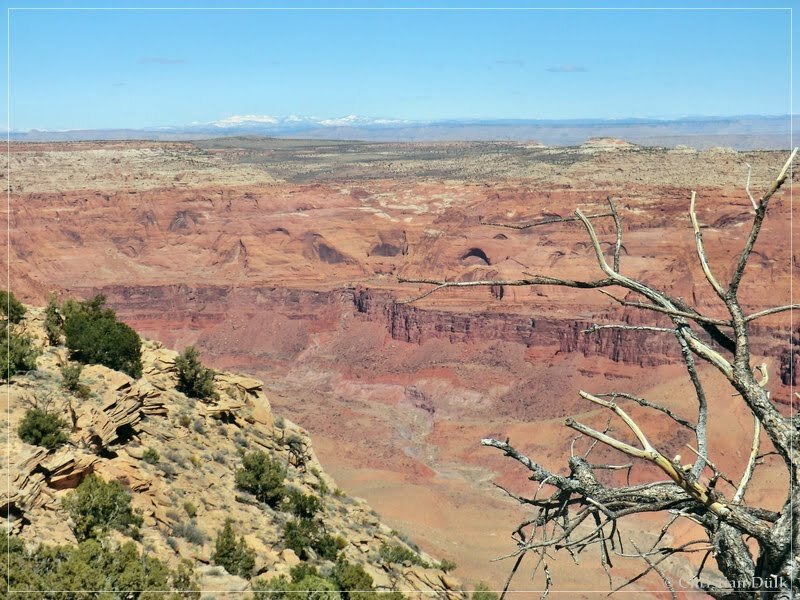
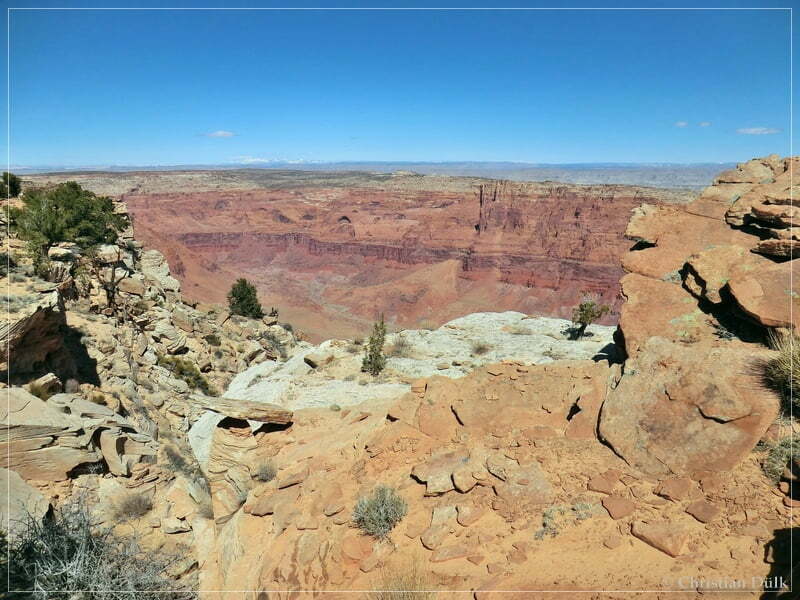
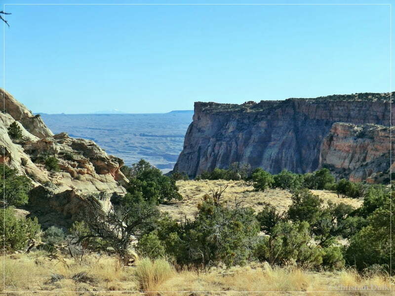
Below us was Paria Canyon.
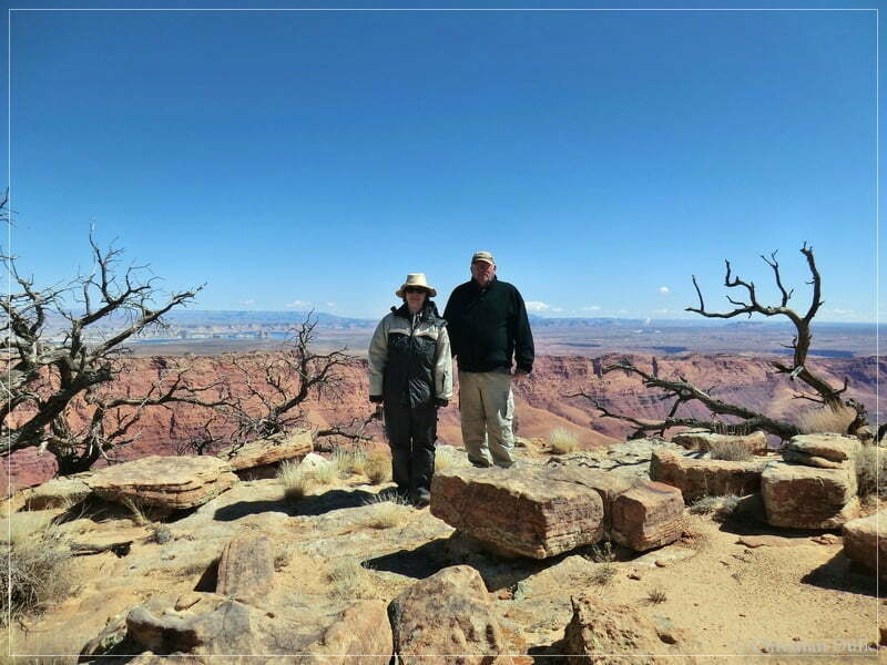
Astrid and Mike at the rim:
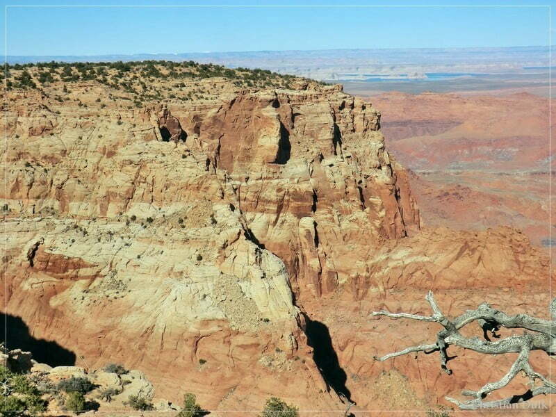
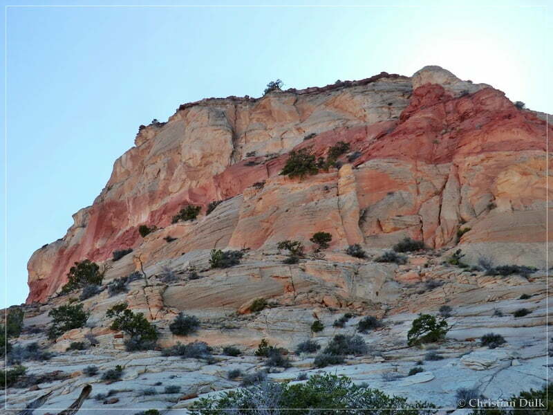
Wonderful colors:
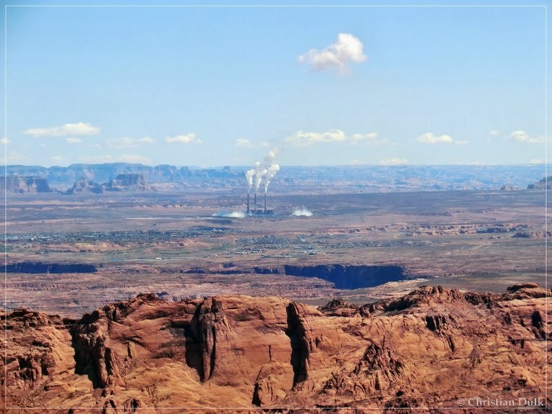
The power plant was also good to see:
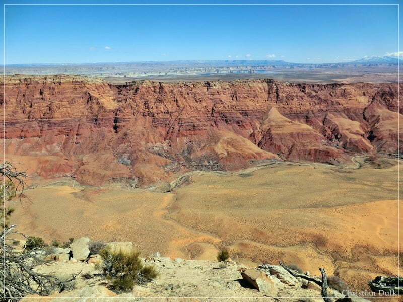
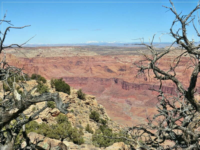
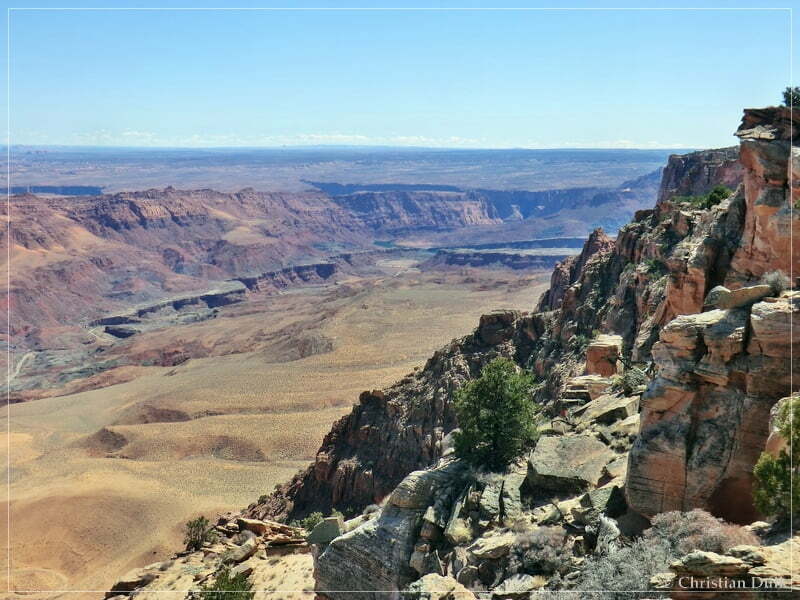
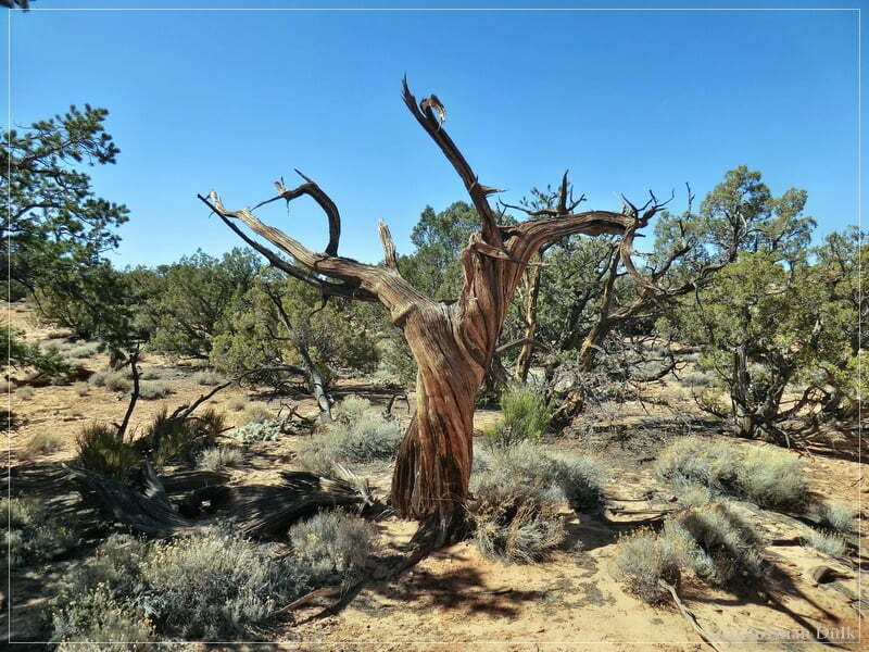
The following pictures should also document the fantastic view from this overlook:
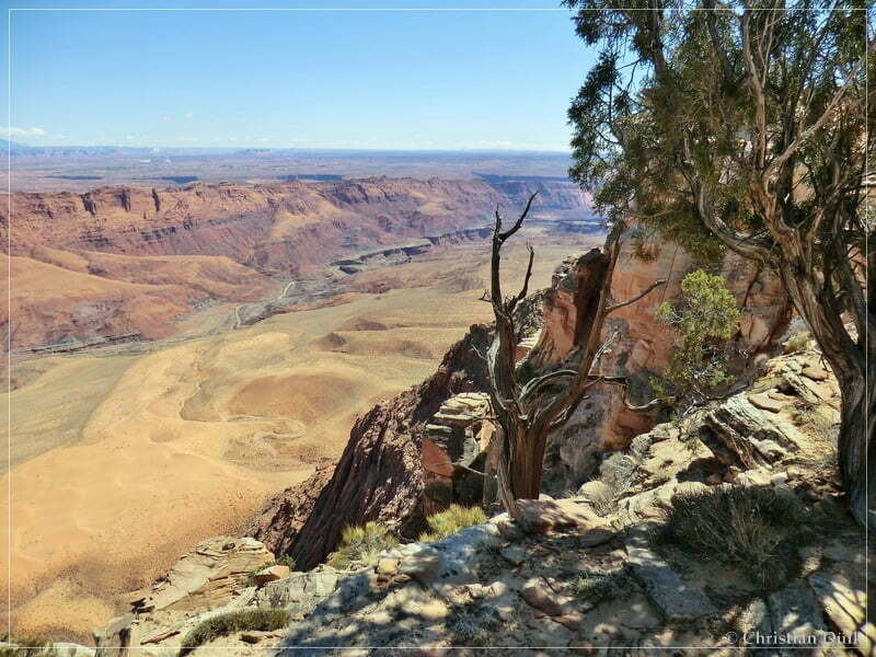
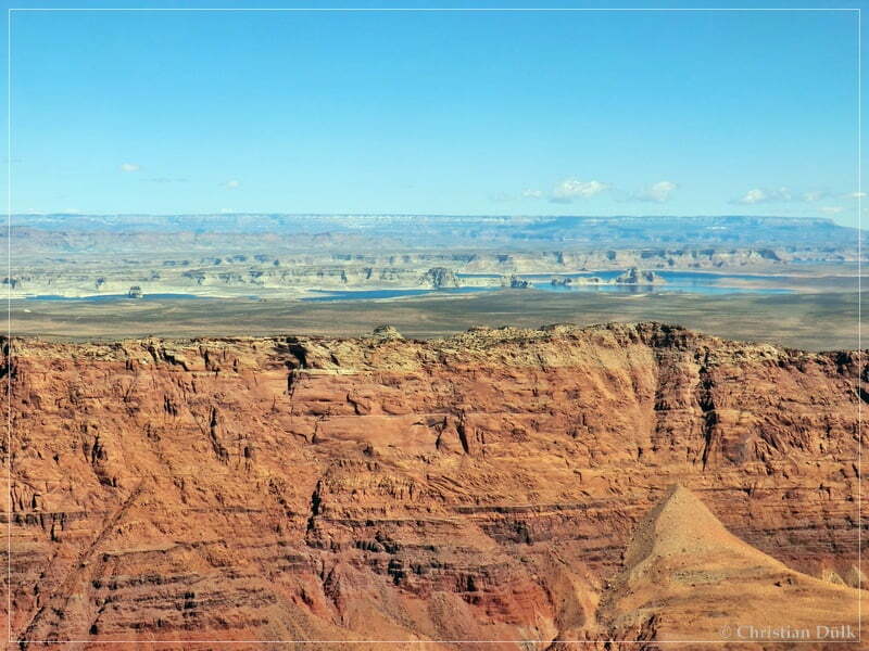
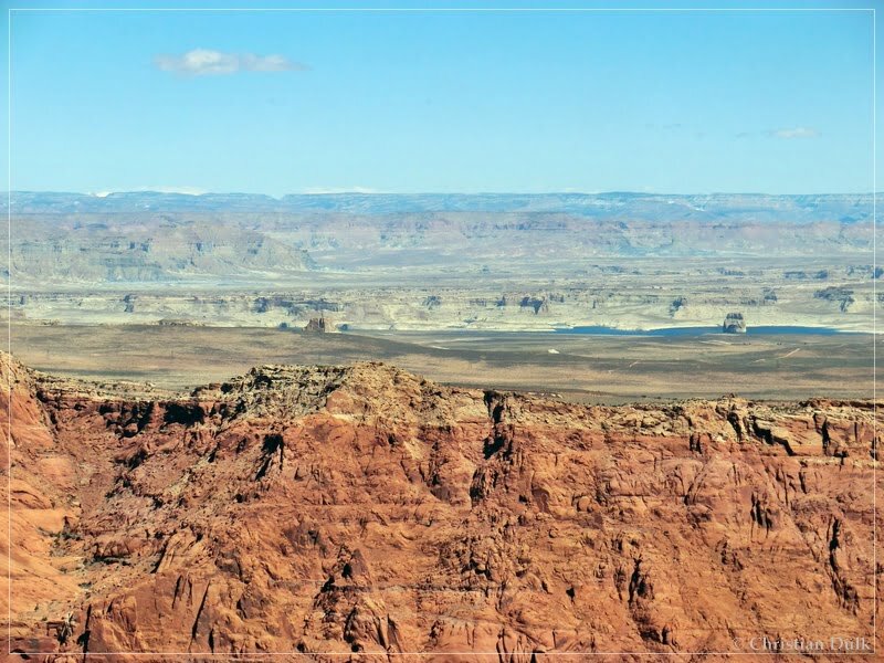
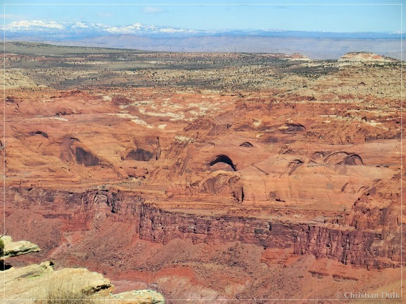
Somebody needed a rest:
After a short lunch break, we went back on the trail.
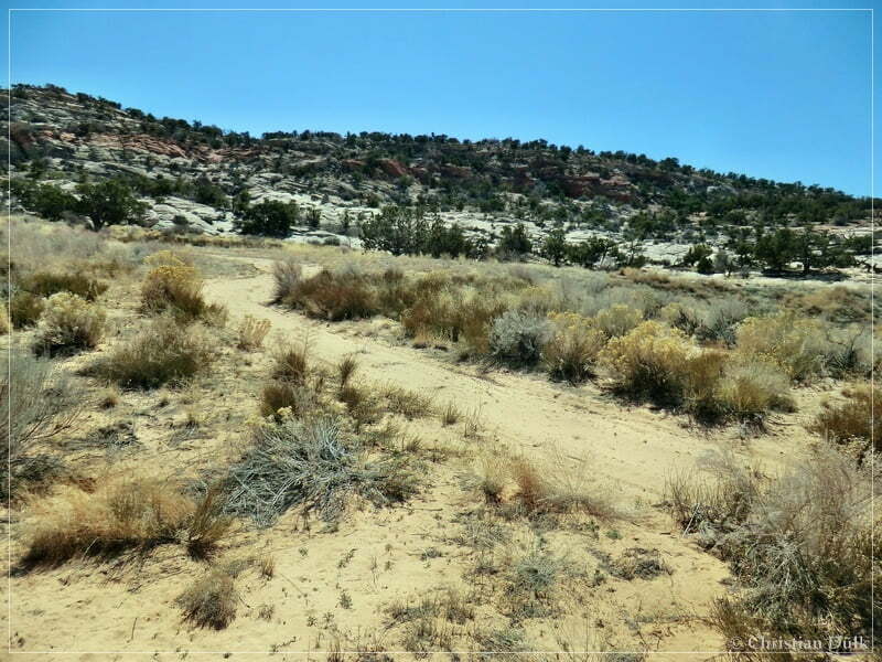
At the turnoff we continued left.
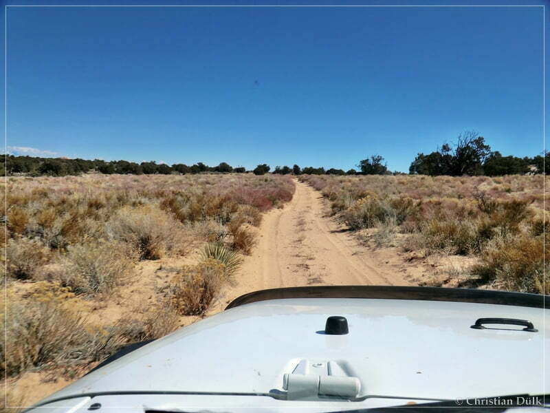
At 12S 43968X 408238X we again turned left:
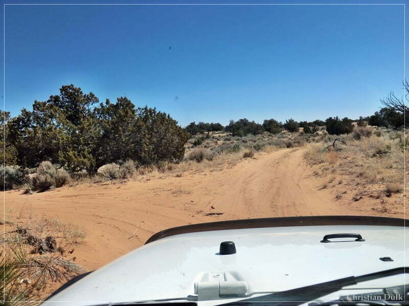
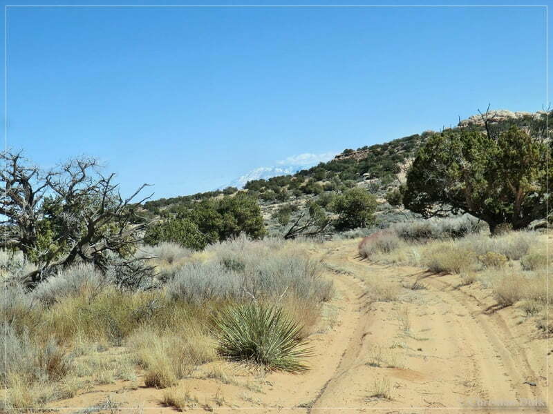
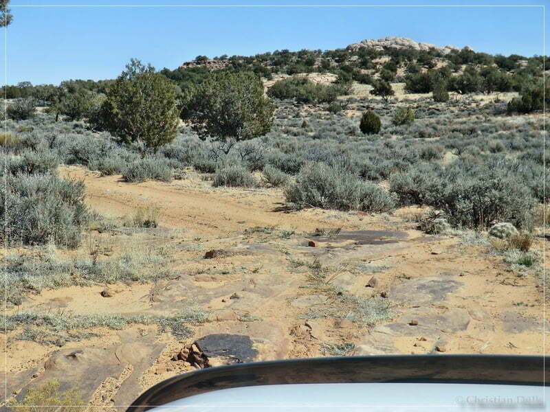
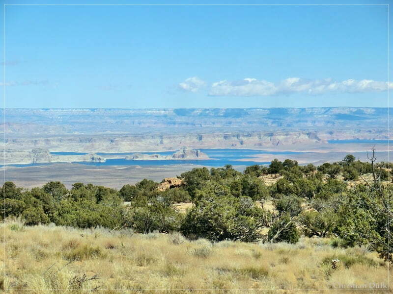
After a short, rough trip, we again reached the rim region.
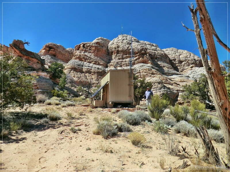
Here is a small weather or relais station:
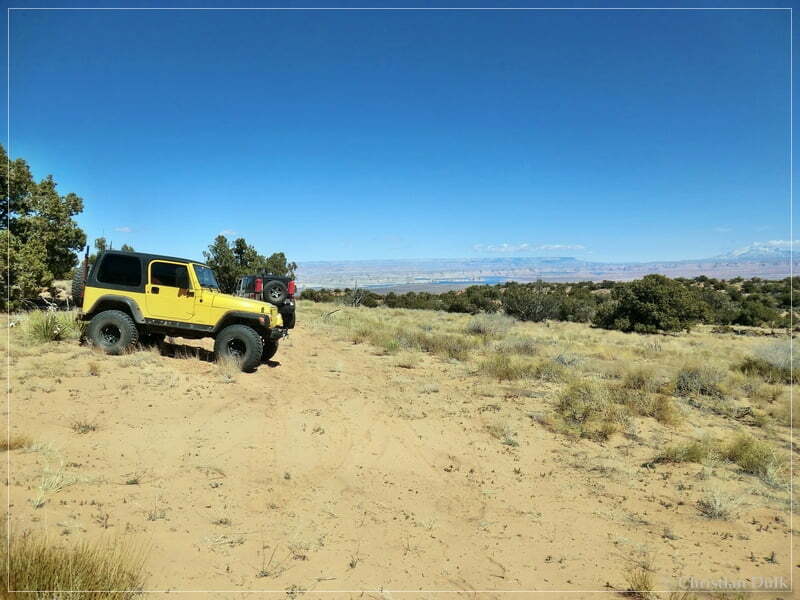
The views from here have been also gorgeous:
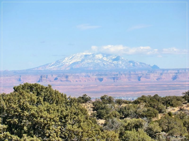
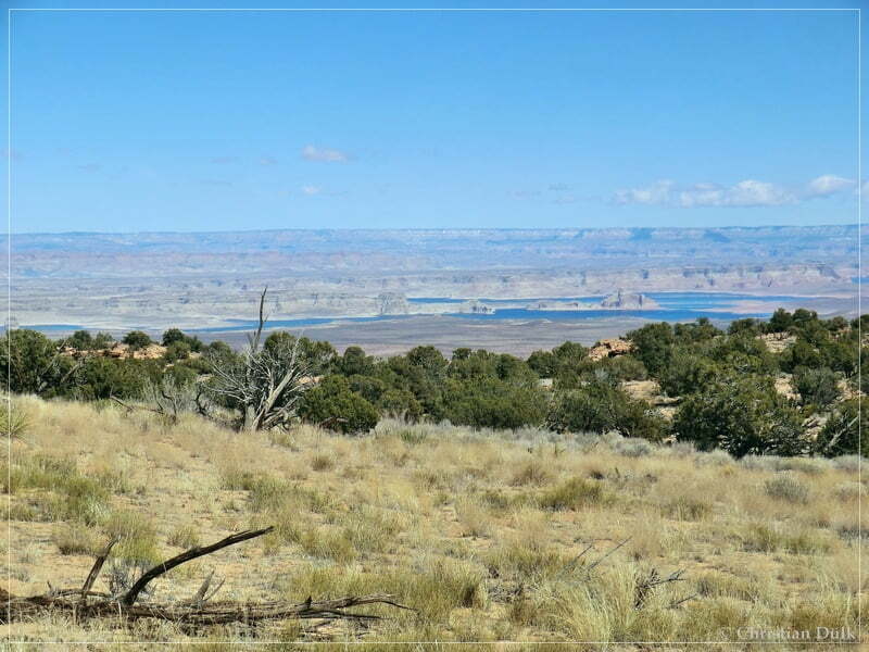
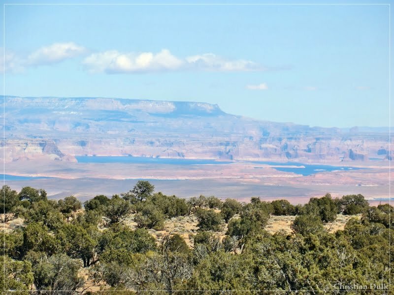
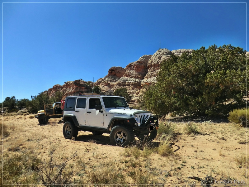
At this point, back on our way from the weather station, we turned right. After a short distance we arrived at the end of the trail.
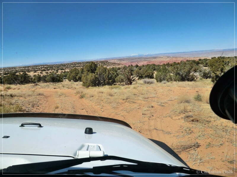
A view back to the relais station:
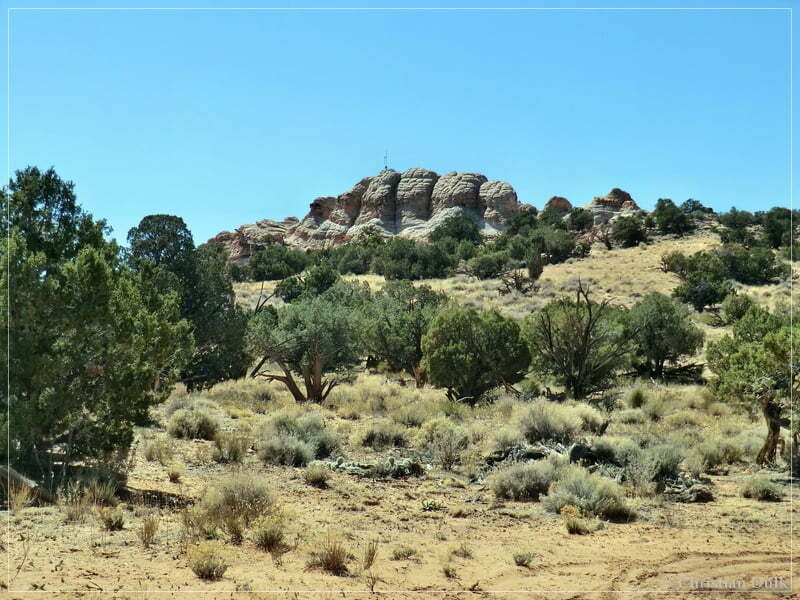
And again a fantastic overlook:
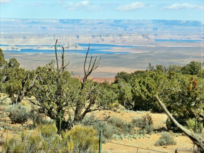
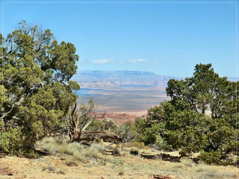
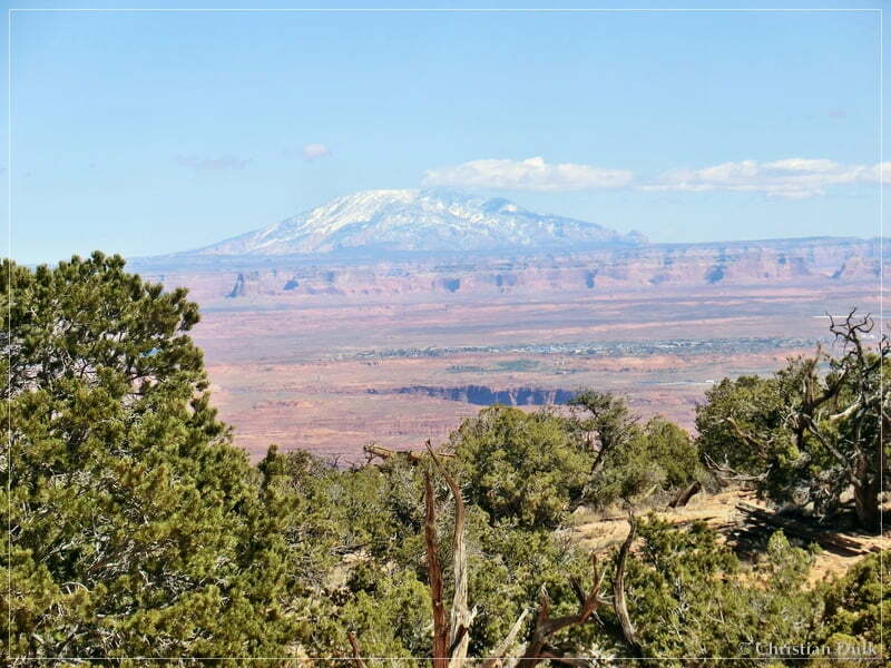
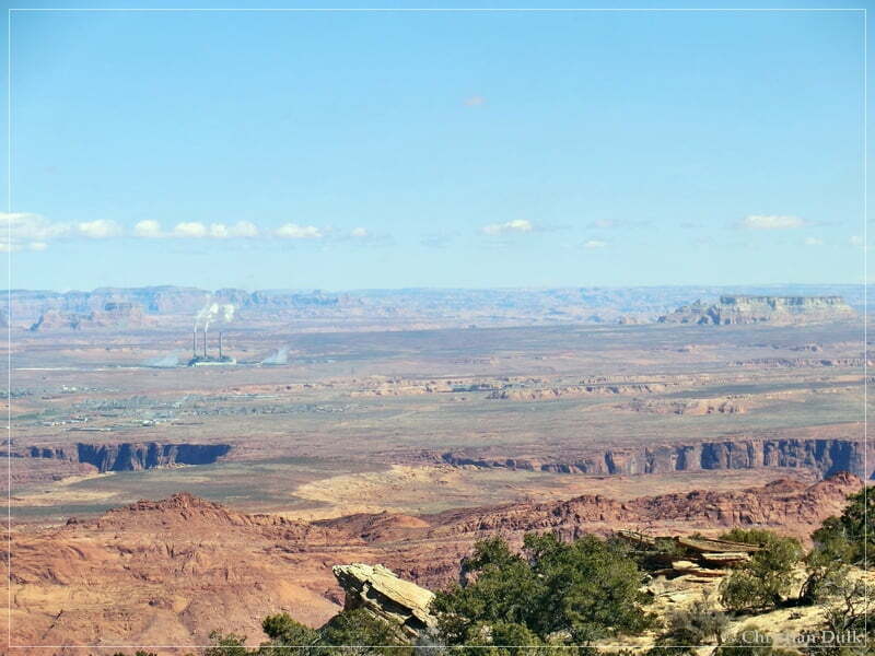
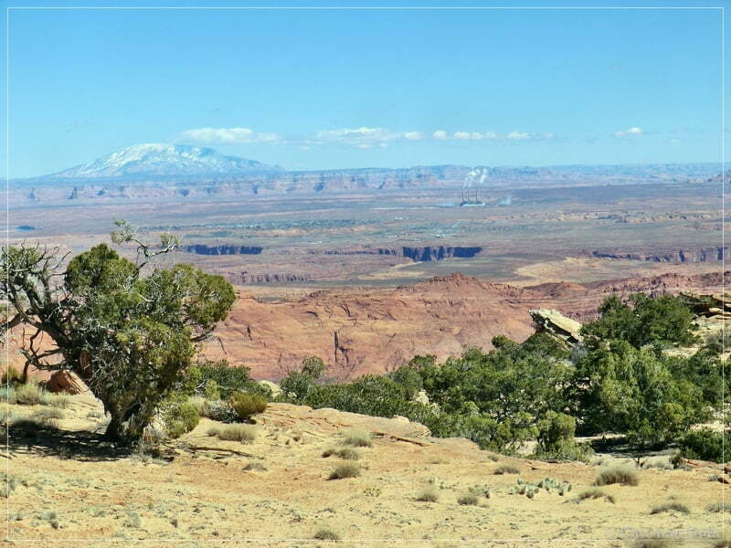
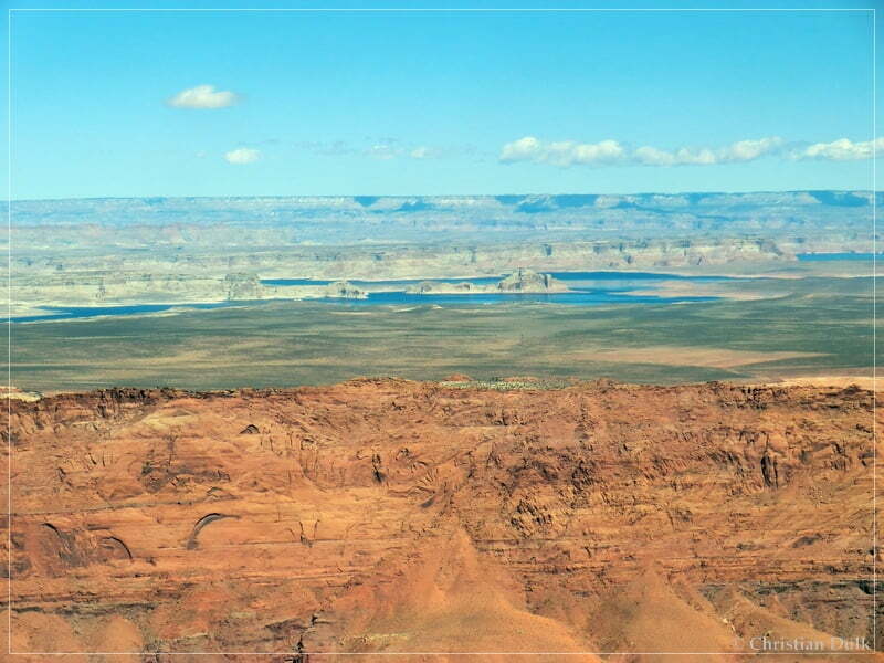
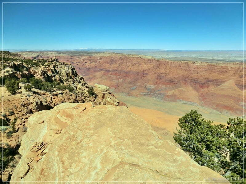
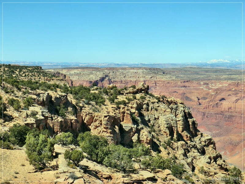
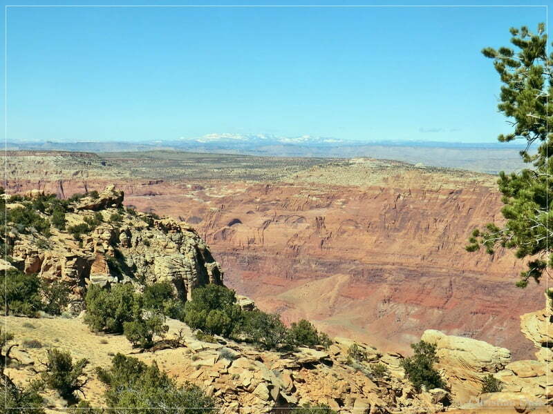
As we still had more to do, we went back to the jeeps and drove to the main route.
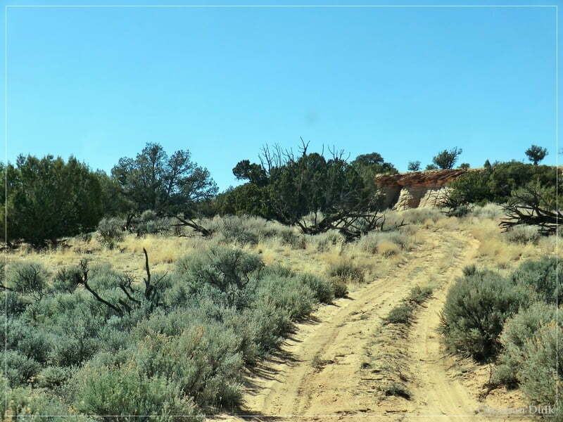
At the turnoff we continued to the left:
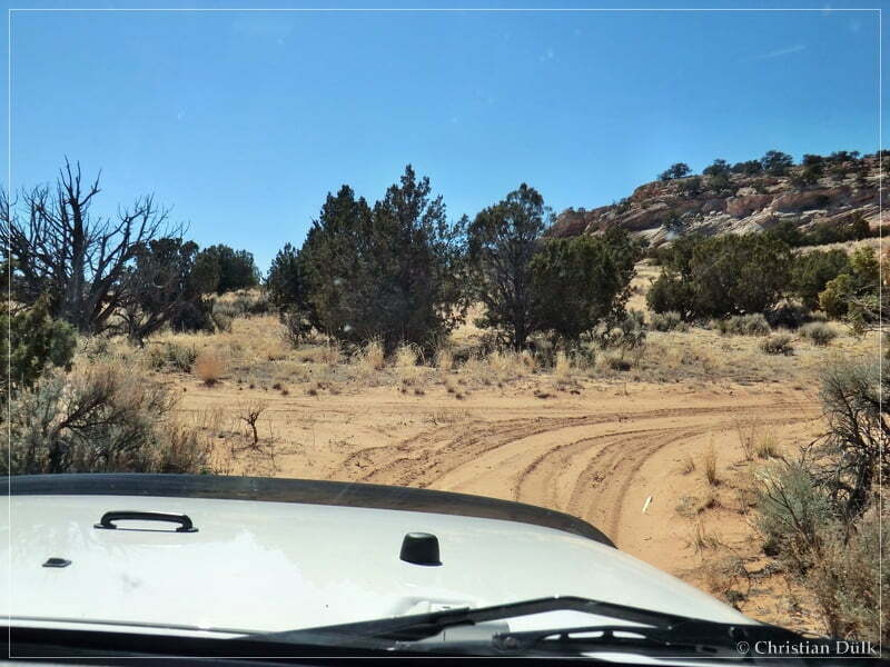
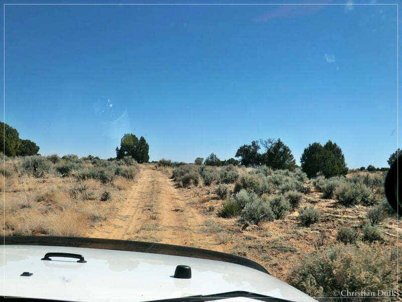
From here, we were able to see Powells Monument and Paria Needle. Should there be a connection ? At least on the maps, there was no trail connecting to Powells Monument.
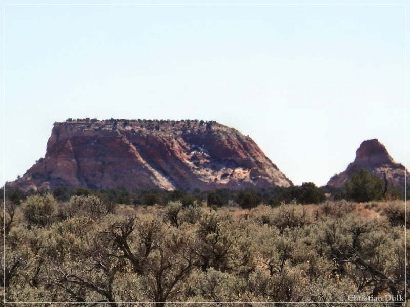
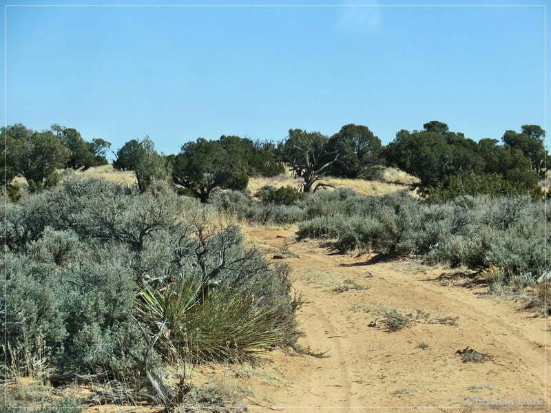
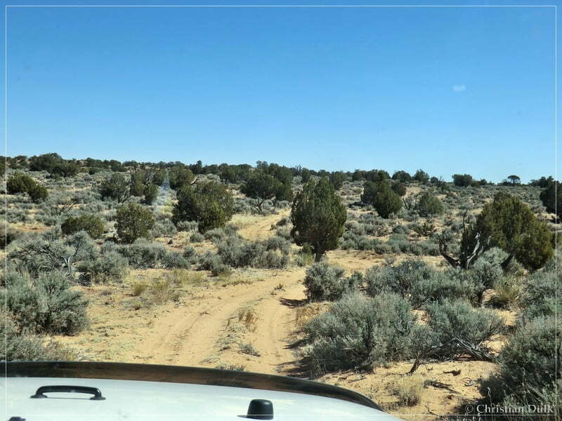
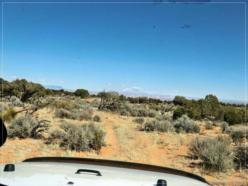
So we continued. At 12 S 44054X 408042X the trail turns left to the last overlook. On the map, there was no trail going further, but we saw a spur, which went further
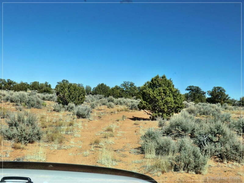
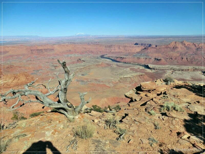
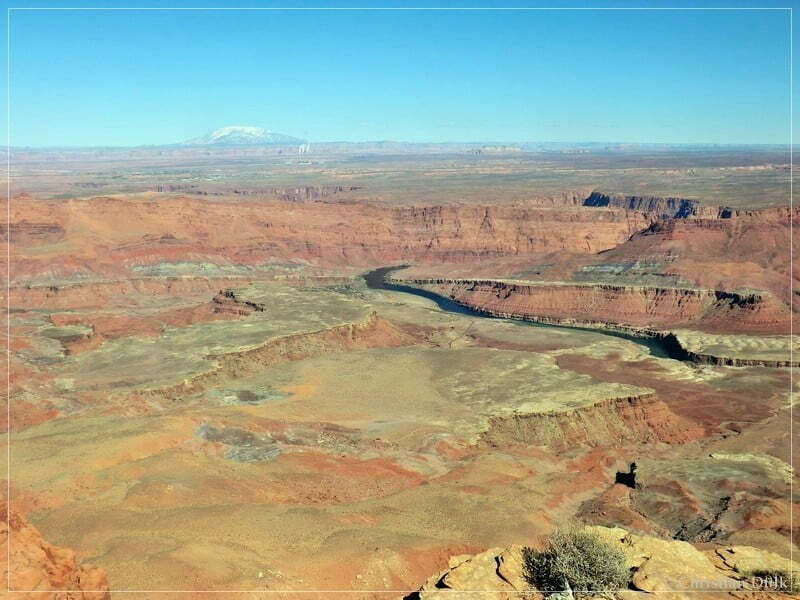
After a short drive, we again reached the rim. The following pictures should give an imagination, what to expect there:
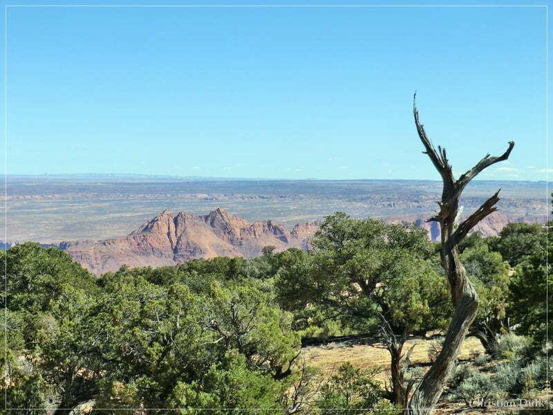
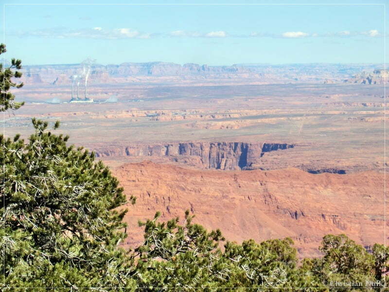
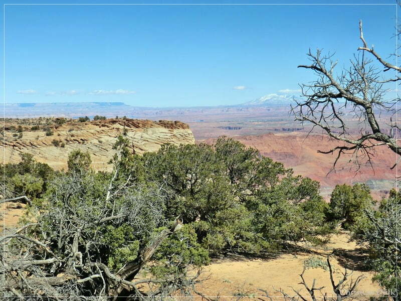
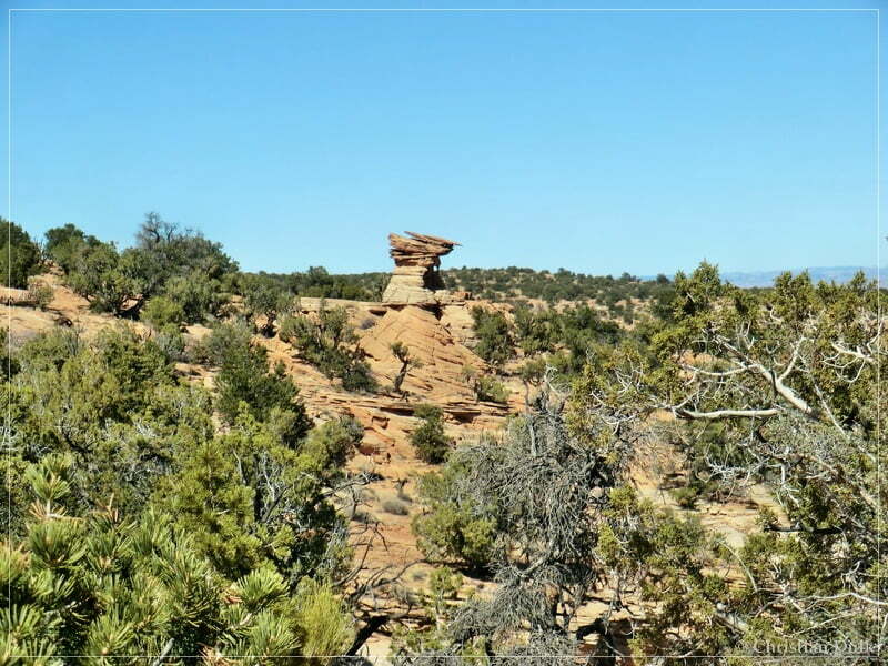
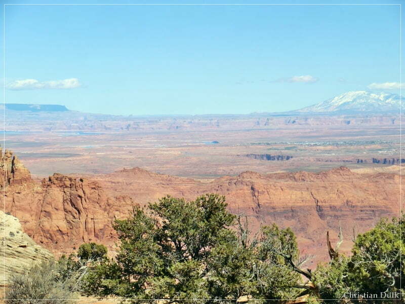
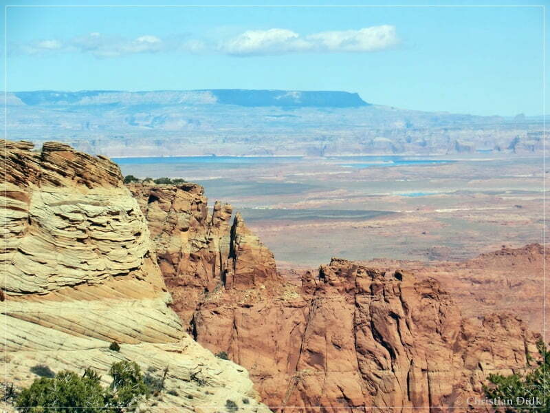
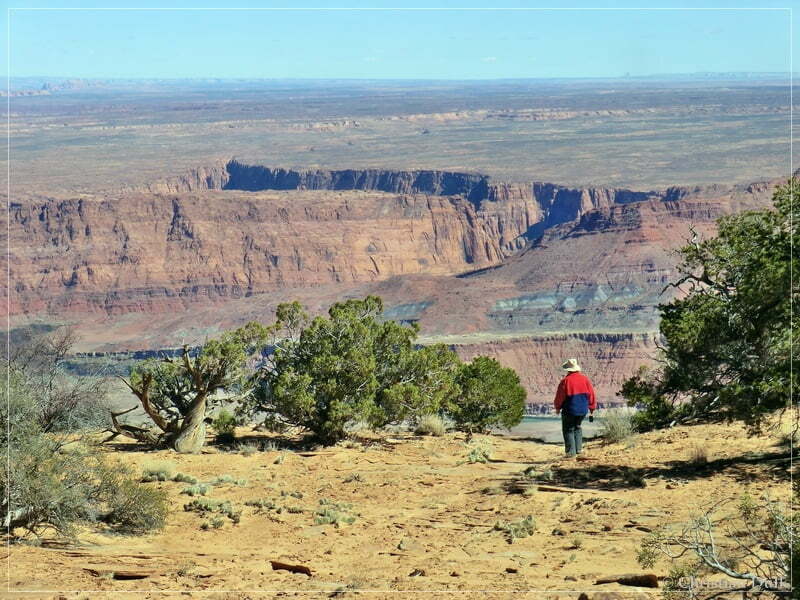
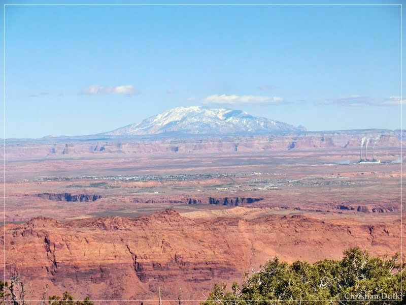
The Colorado River is pretty much close:
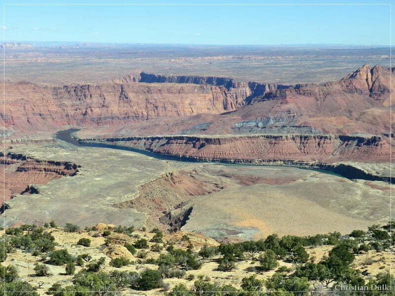
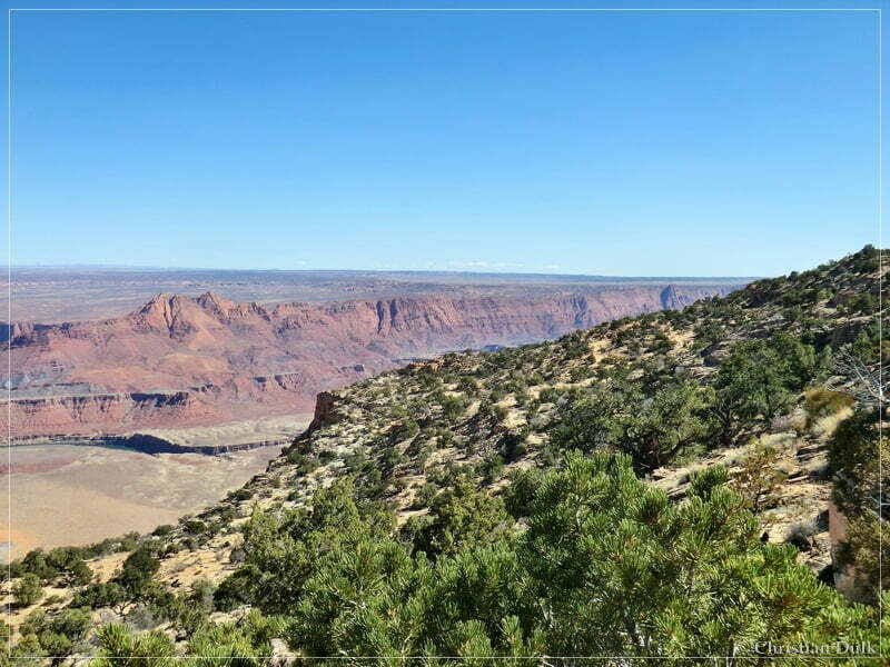
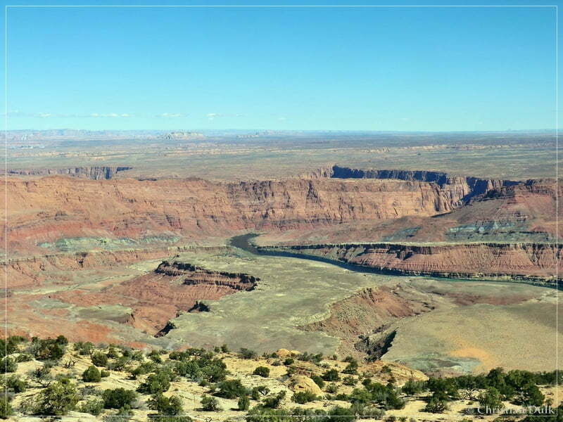
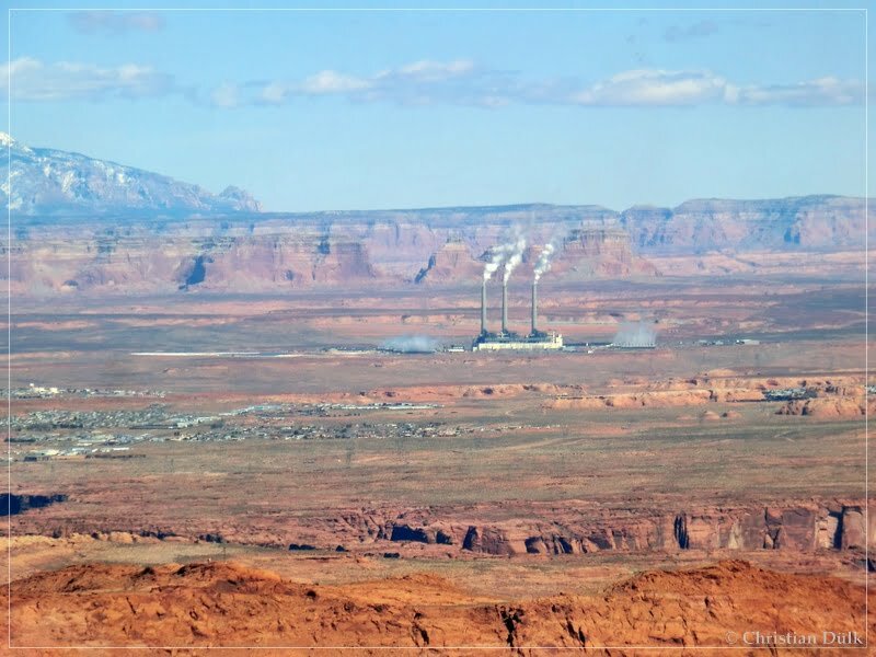
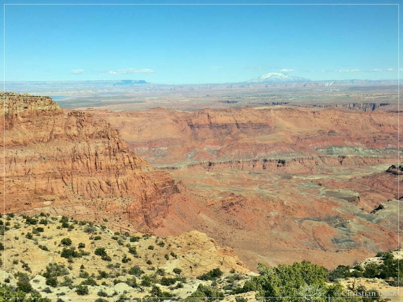
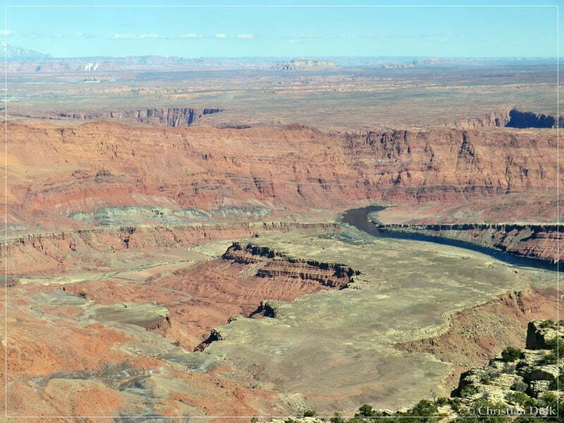
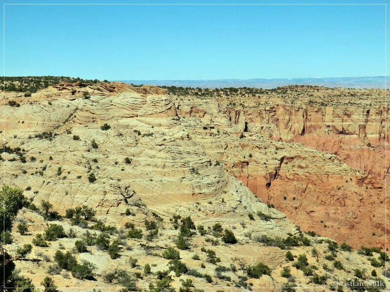
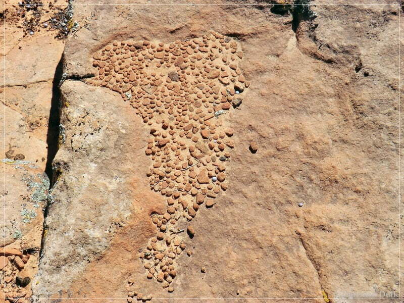
As we had to explore the ongoing spur trail, we left pretty fast.
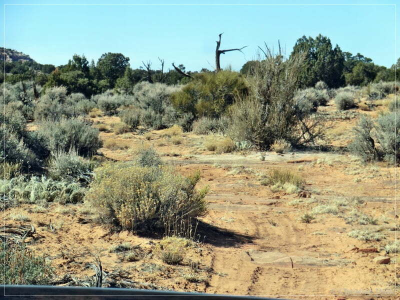
We drove on this seldom traveled spur.
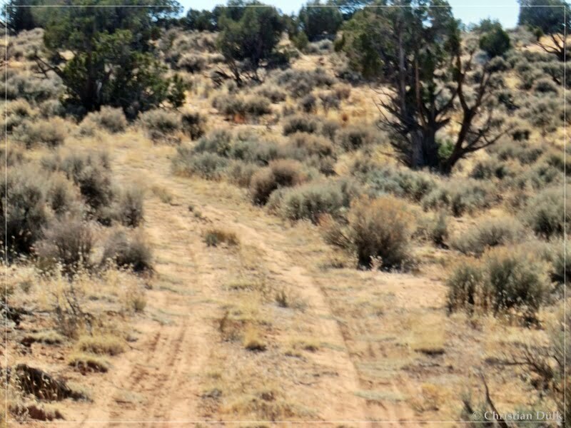
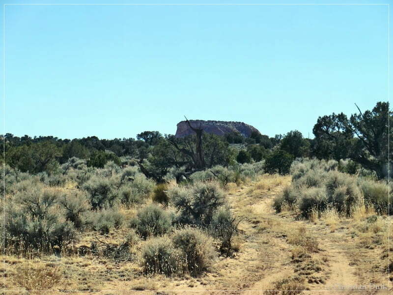
At 12S 044023X 407926X again a trail to the left led to a fourth overlook. So the last visited overlook was definitely not the last one. We agreed with MIke, that he already inspects this overlook, while we checked the ongoing road, whether it connects to Powells Monument.
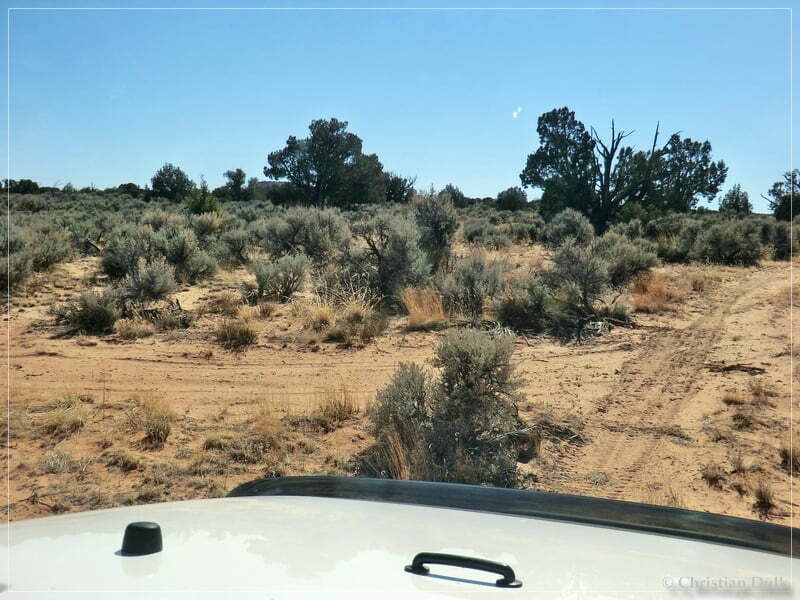
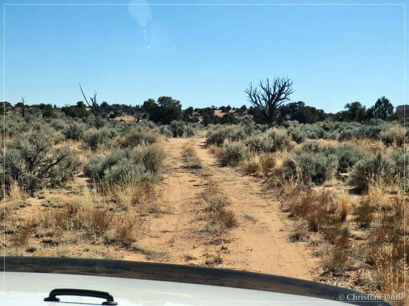
There was not much activity visible on this trail, but it was still easy to drive.
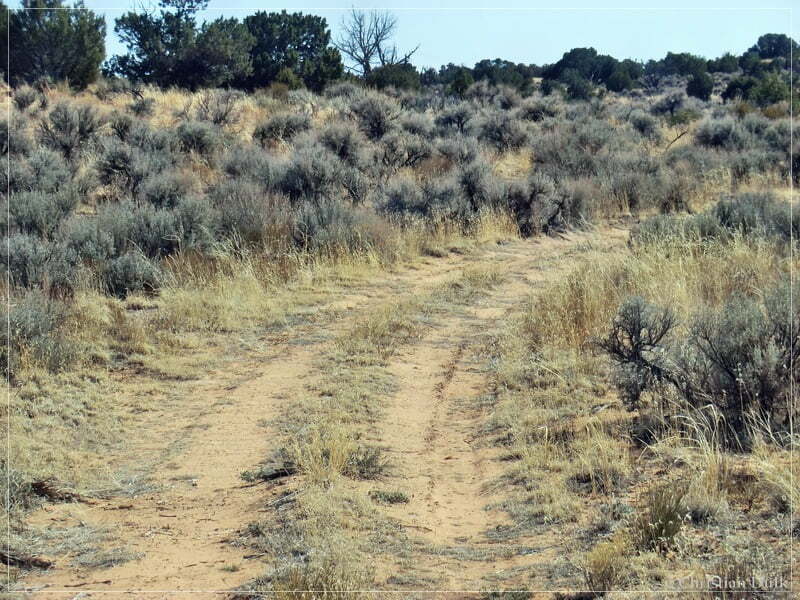
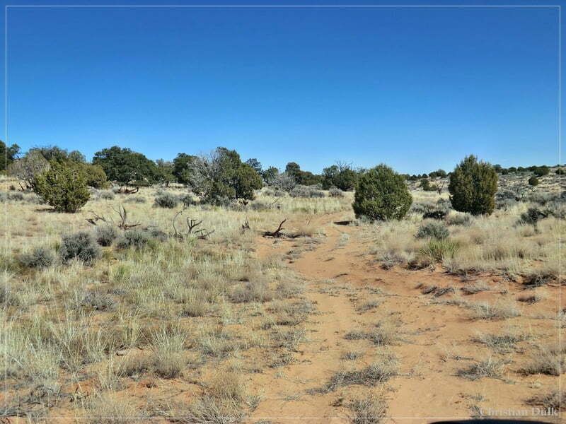
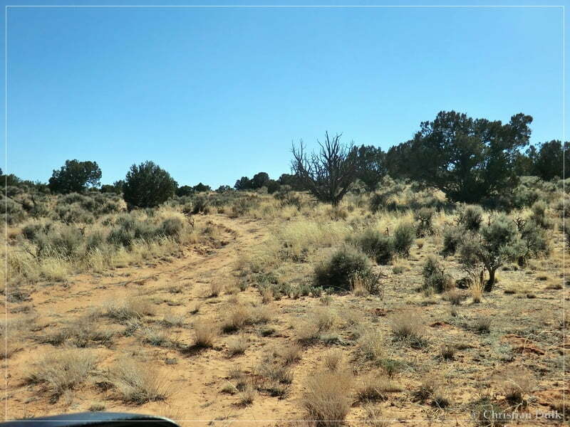
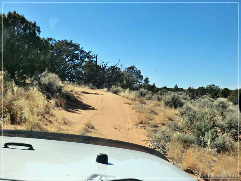
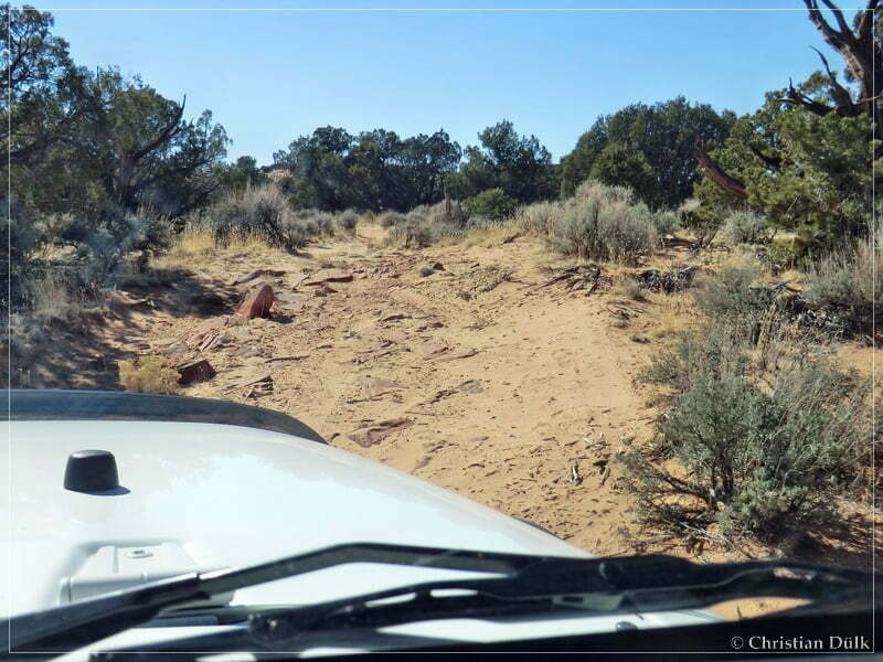
We turned around shortly before Powells Monument and went back to overlook no. 4.
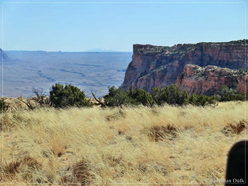
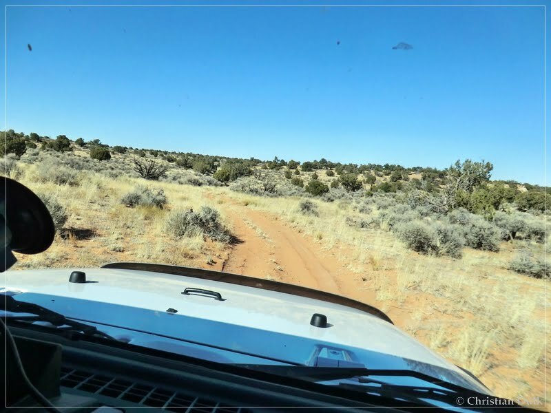
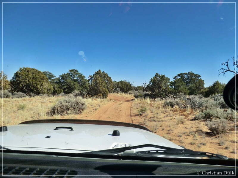
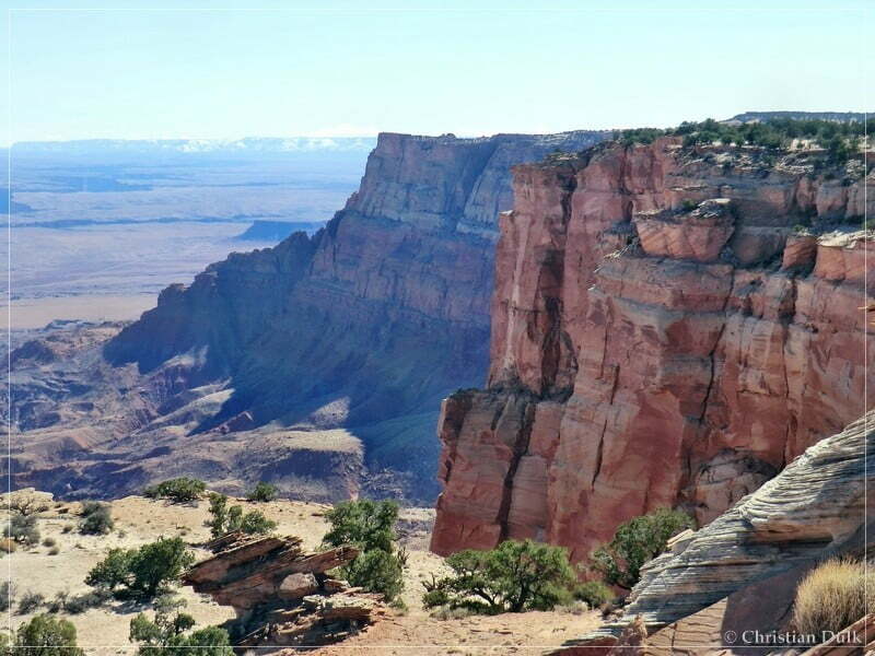
At the already mentioned turnoff, we turned right and reached the rim of the Vermilion Cliffs NM quite fast. And again we had an outstanding view.
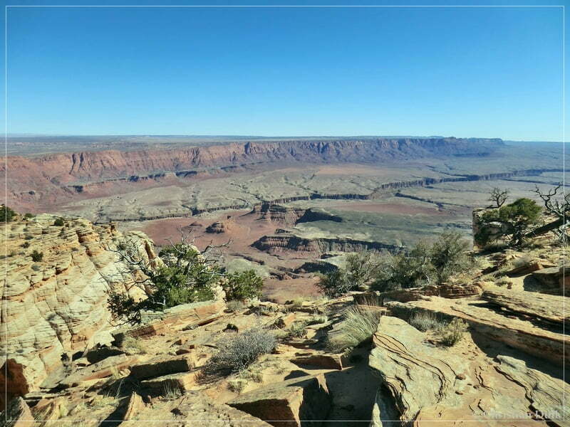
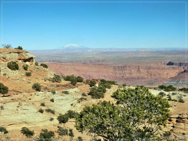
Marble Canyon below us:
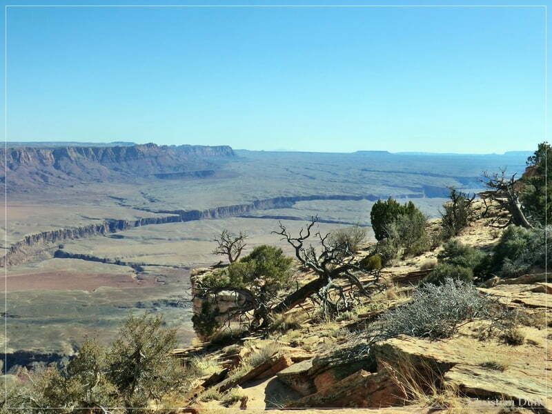
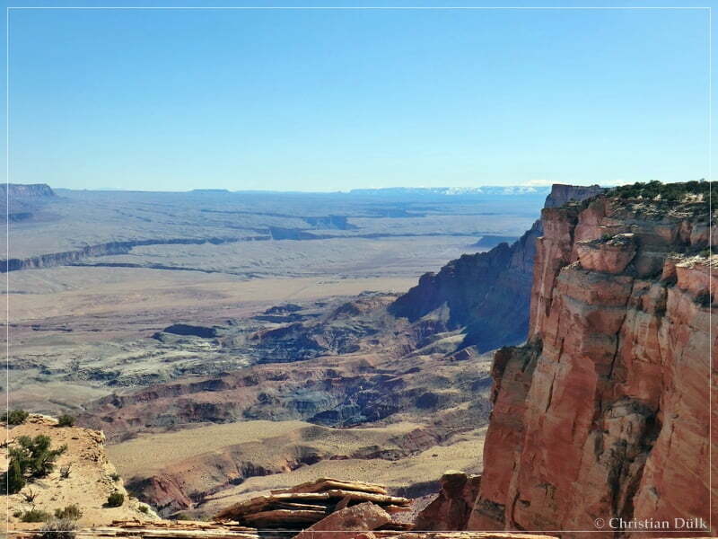
Powell´s Monument in the background.
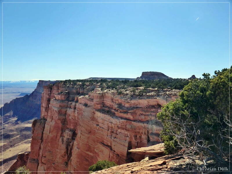
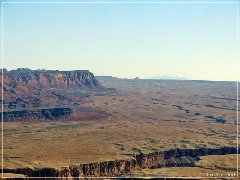
After a short time we drove then to Powells Monument and Paria Needle.
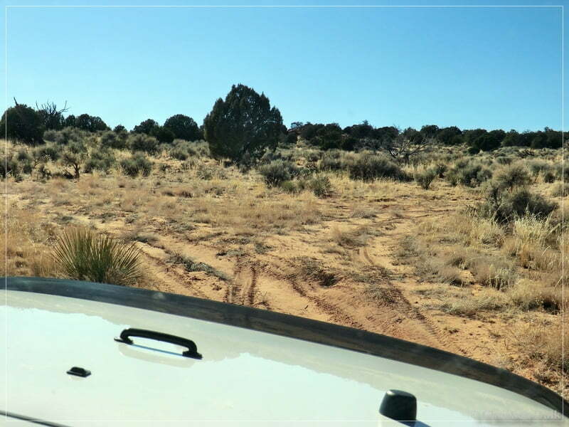
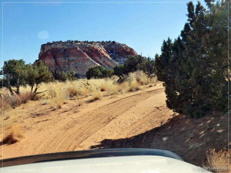
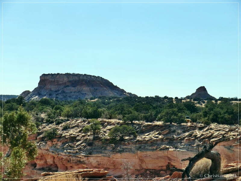
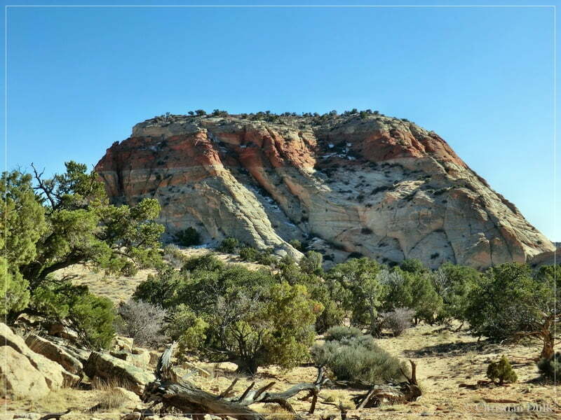
We checked out the vicinity: Powells Monument…
…and Paria Needle.
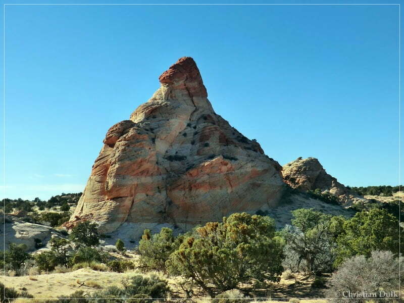
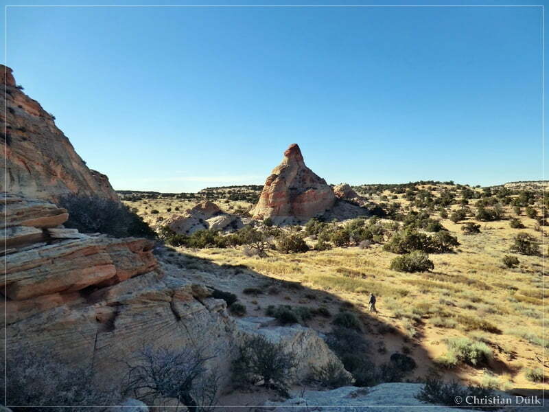
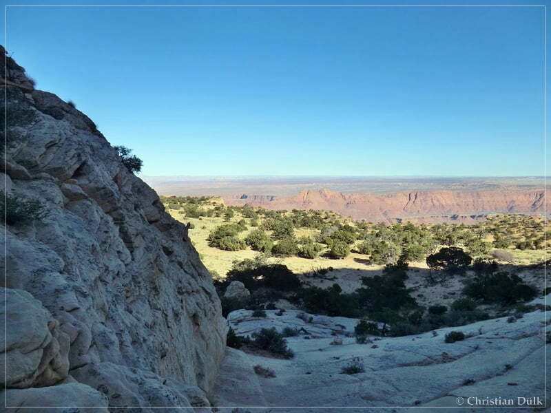
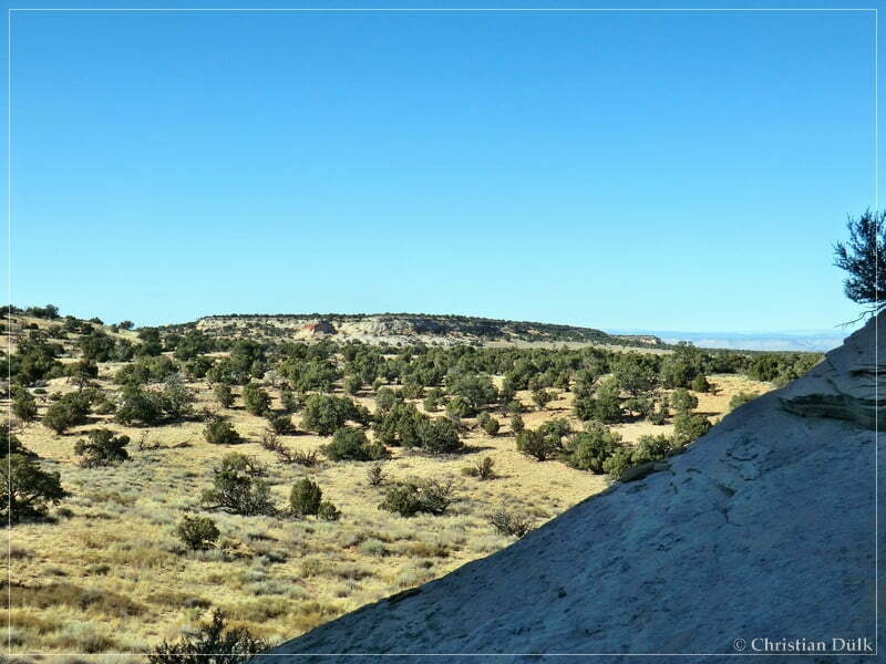
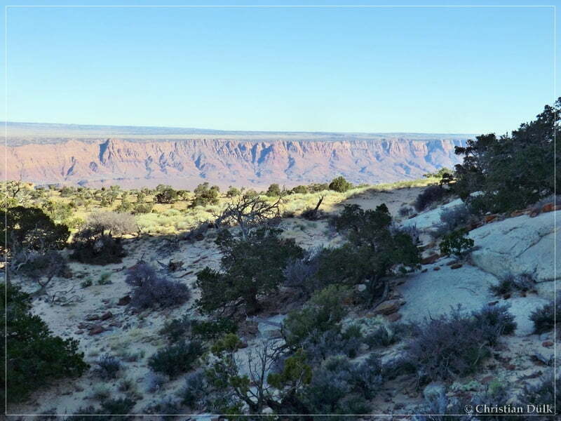
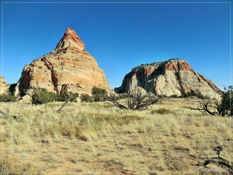
We planned to drive back from here via Shed Valley. But the trail was blocked by the BLM at Paria Needle. Some people bypassed the blocking object, but we decided to follow the trail ethics and turn around to drive the long way back, we came in to this point. It was already late in the afternoon, so we had to speed up a little bit. The following pictures were taken on our way back:
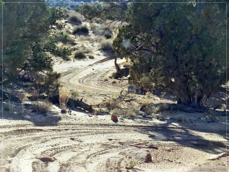
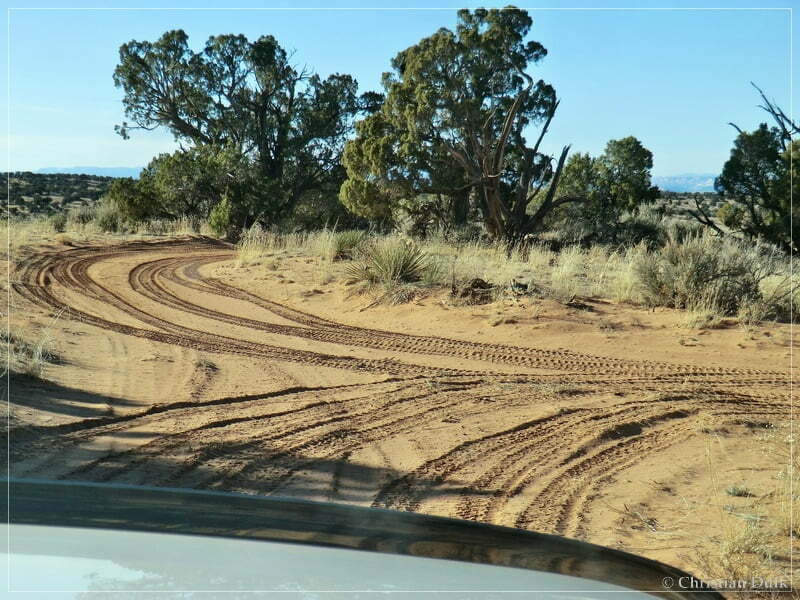
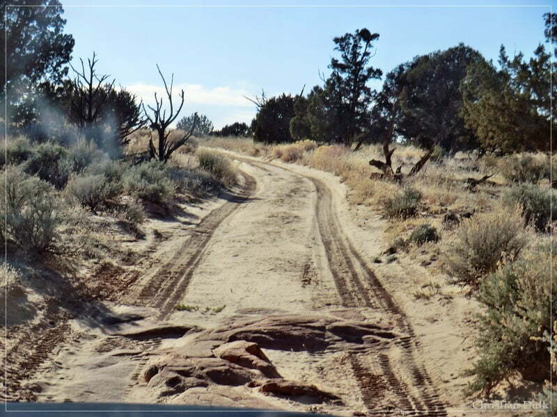
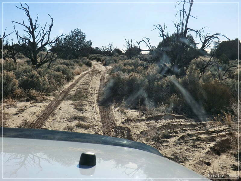
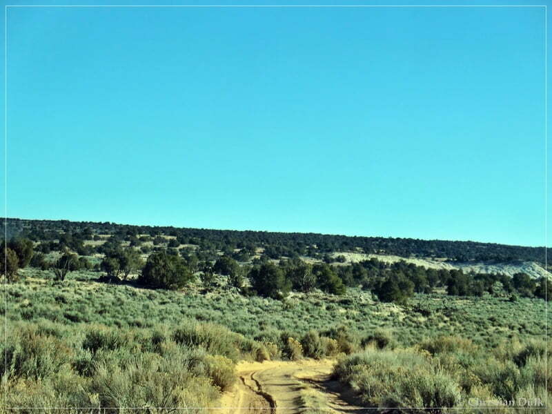
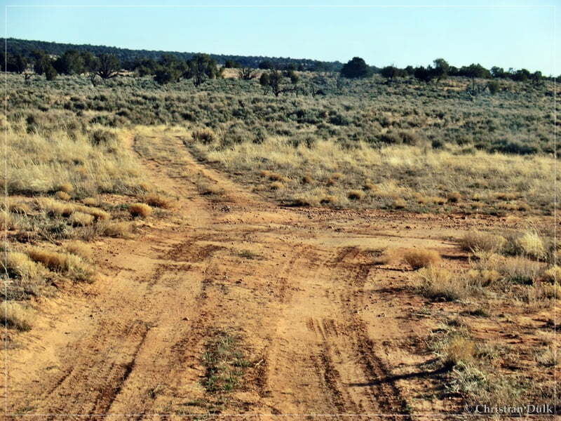
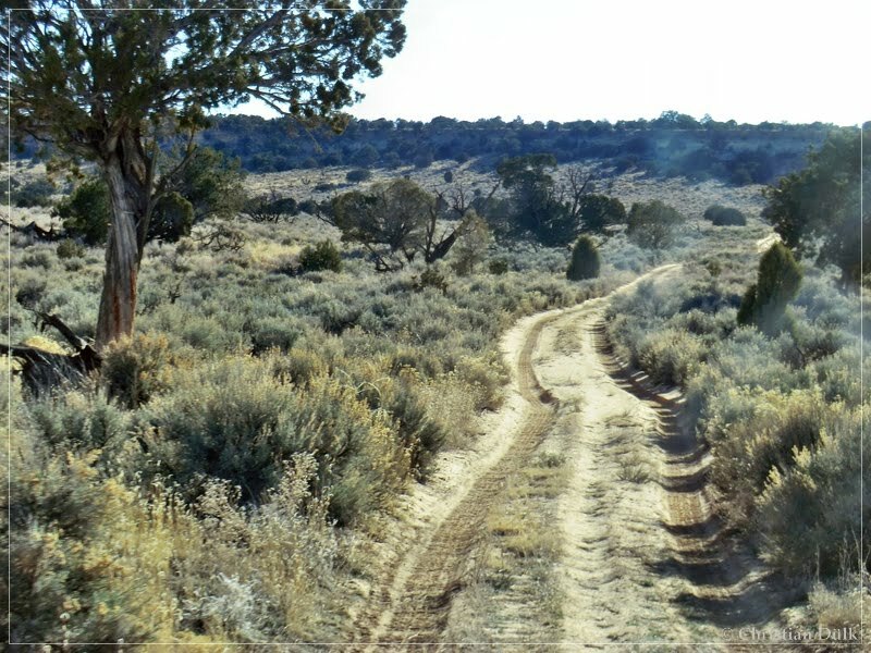
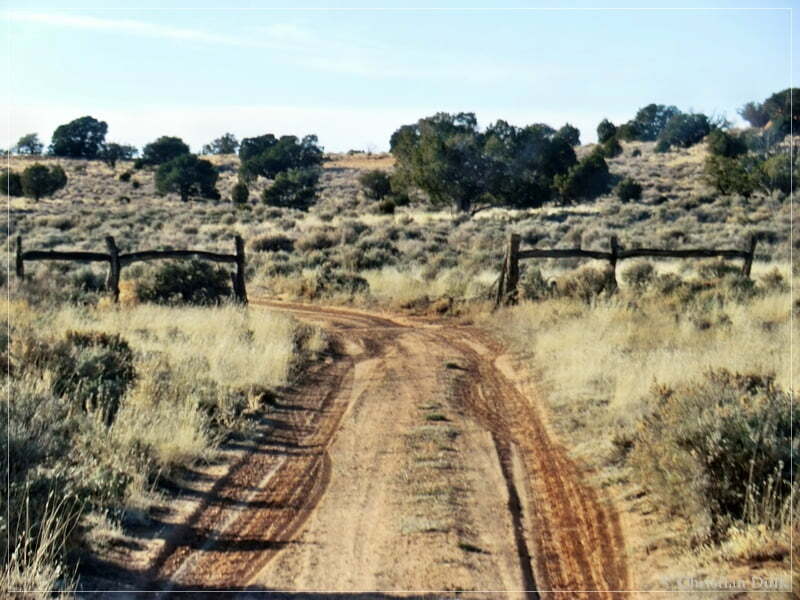
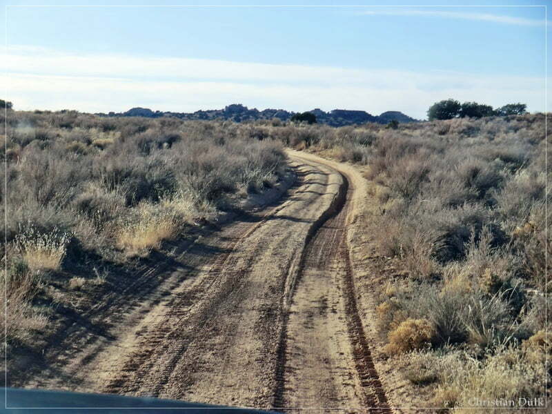
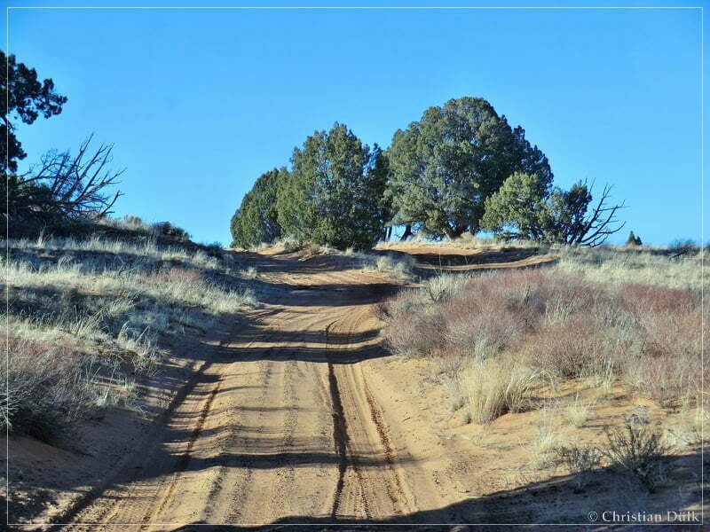
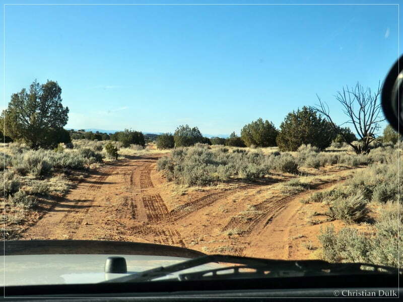
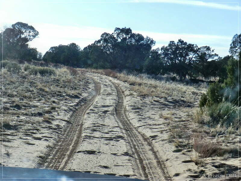
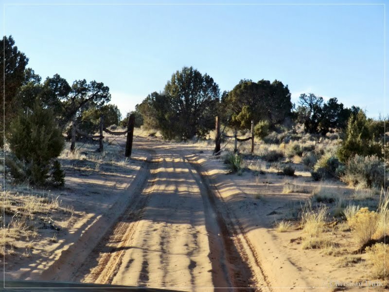
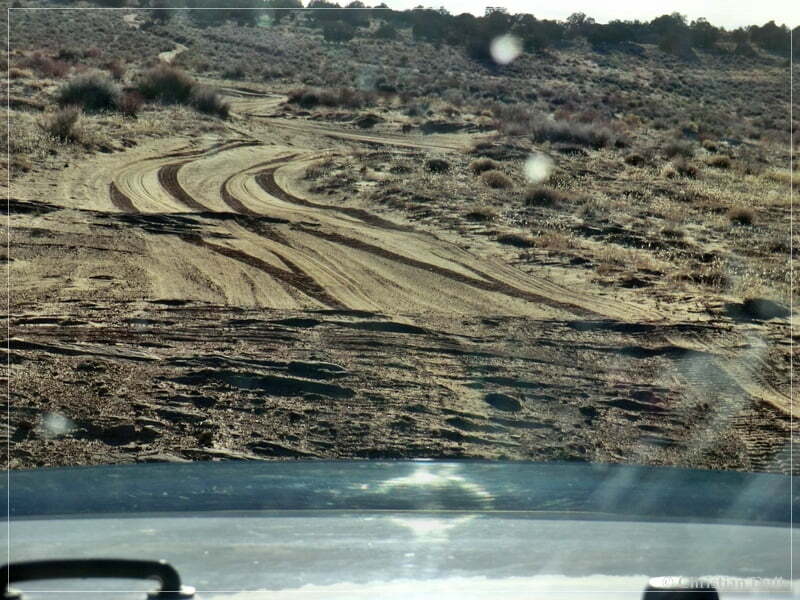
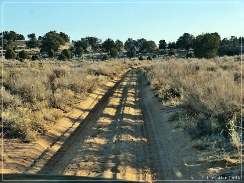
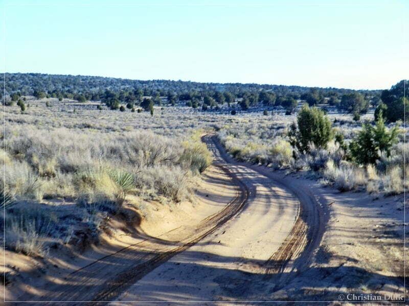
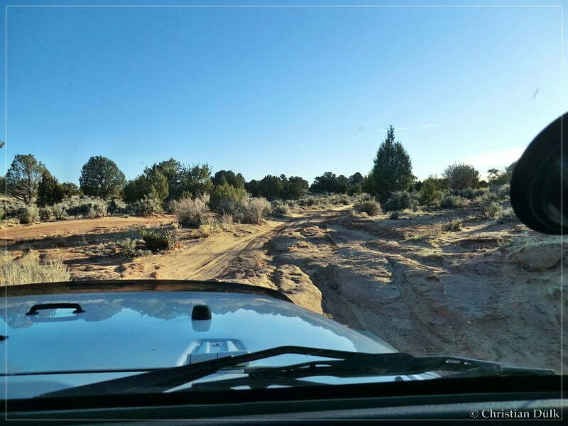
On the way out of Big Sink towards Pine Tree Road.
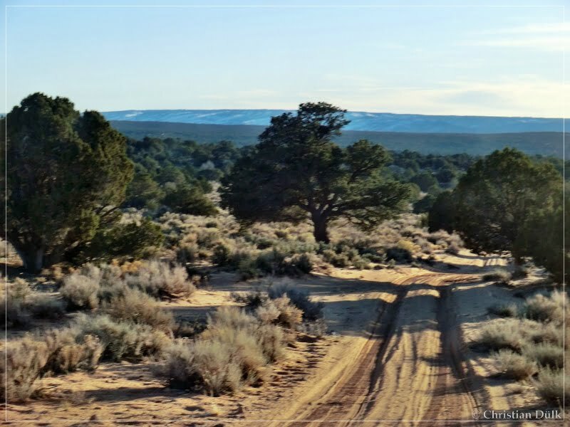
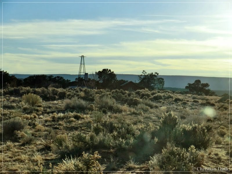
The ranch at Pine Tree Road:
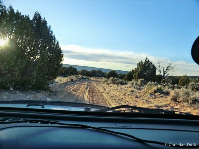
Shortly before House Rock Valley Road:
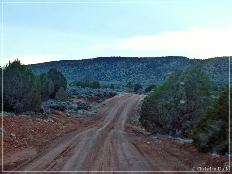
On the way back to US89A, we saw some horses:
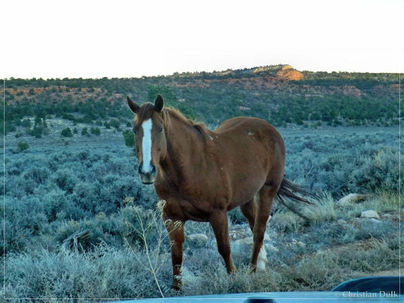
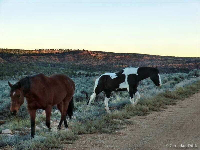
Before we went back to Marble Canyon, AZ on US89A, we had to fill up the tires. At the end, we arrived at the Vermilion Cliffs Lodge, after it got dark.
Here one can also download a gpx file of this trip:
Tracklog: Northeast Overlooks, Vermilion Cliffs NM (1315 downloads )
And the map gives an overview about the region, we visited:


