This trip we did in march 2012 together with a friend from the Phoenix area. It leads to the southwest rim region of the Paria Plateau. We had to cross Pinnacle Valley and went along the ‘White Knolls’, before we reached the rim. Two of the rim overlooks (One Toe Ridge and the rim above Bonal Springs) we had already seen in 2011.
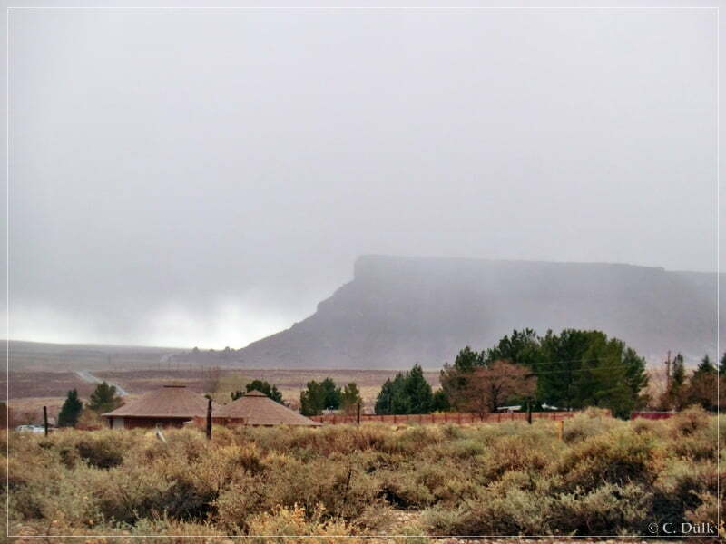
The weather forecast was not really promising for this day. As we left our room at Lee´s Ferry Lodge this morning, it wasn´t looking really nice.
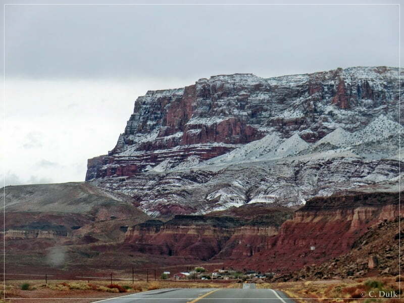
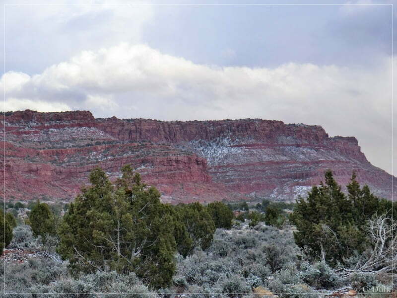
Mike, our companion for this trip, suggested to try it. So we started along US89A towards House Rock Valley Road. Along the Vermilion Cliffs a lot of snow was seen:
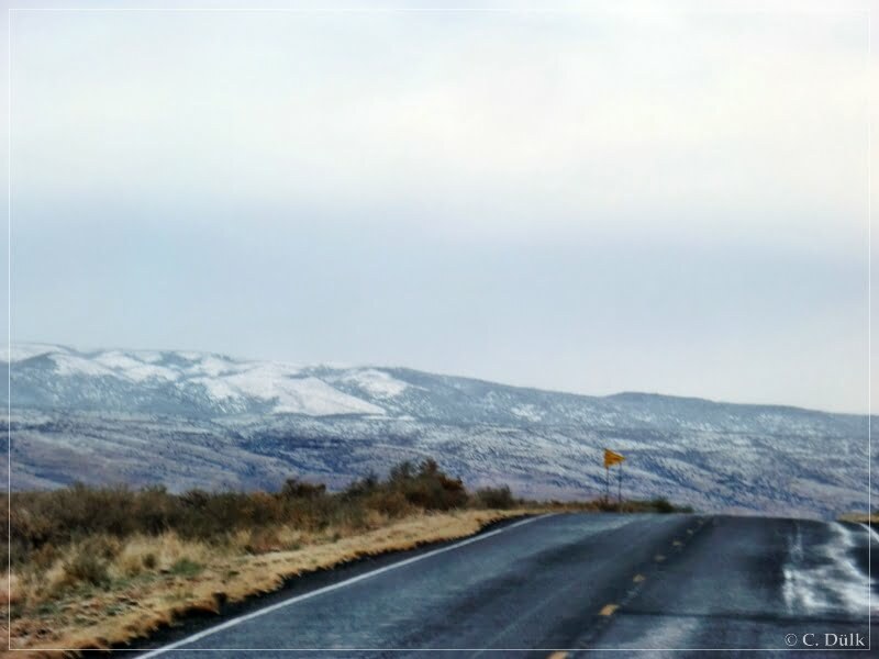
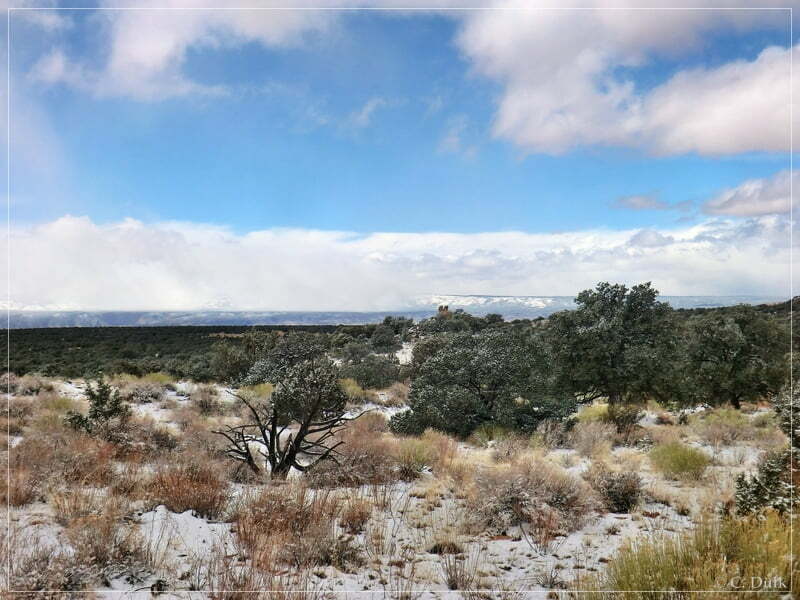
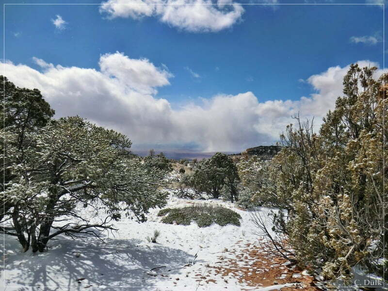
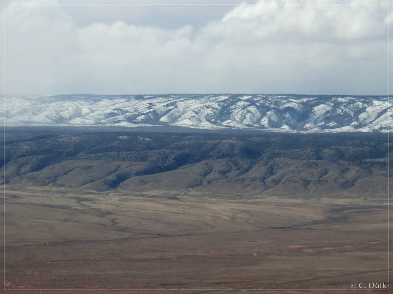
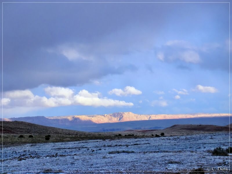
Towards the west also a lot os snow could be seen that day:
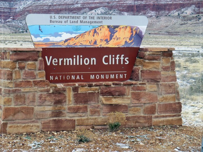
At 12S 40660X 406558X (UTM/NAD27) we turned to the right on House Rock Valley Road. Directly after leaving US89A the Vermilion Cliffs National Monument begins:
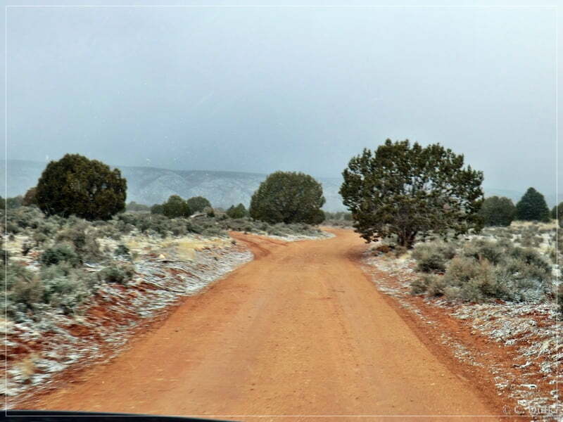
We were following House Rock Valley Road…
…until we reached the turnoff to Coral Valley at 12S 40525X 408007X. Now we were following Pine Tree Road:
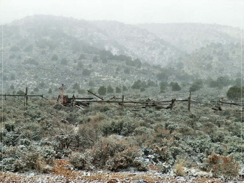
We passed the ranch at the turnoff to Big Sink Valley…
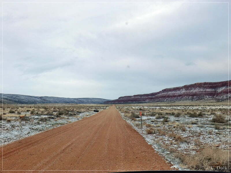
… and stayed straight on Pine Tree Road towards Pinnacle Valley:
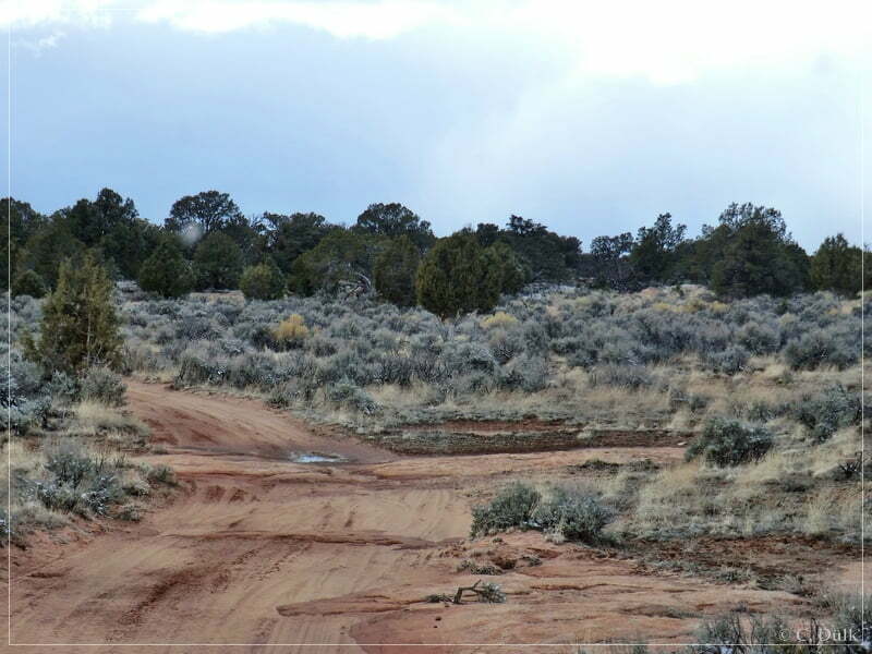
Soon we reached Pinnacle Valley and dropped down into it via the left trail there:
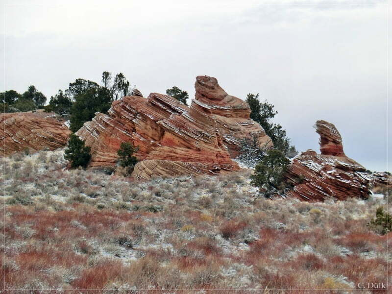
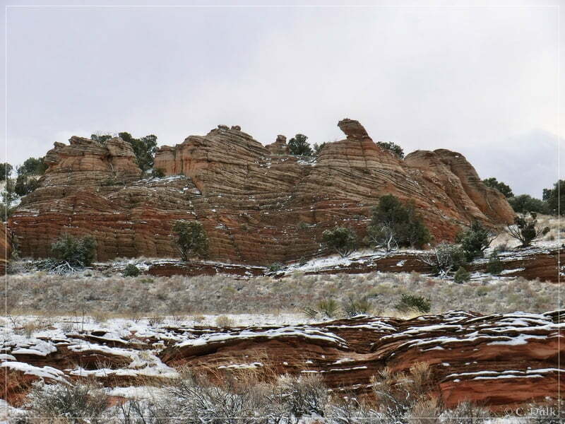
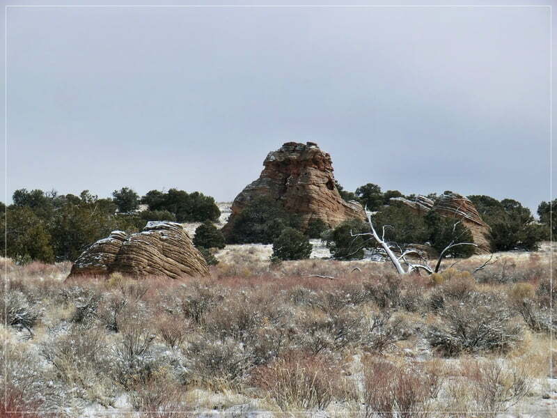
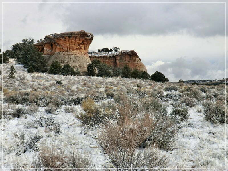
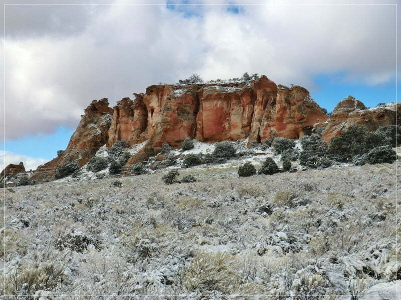
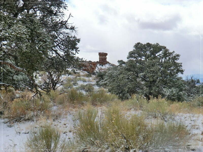
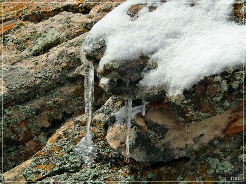
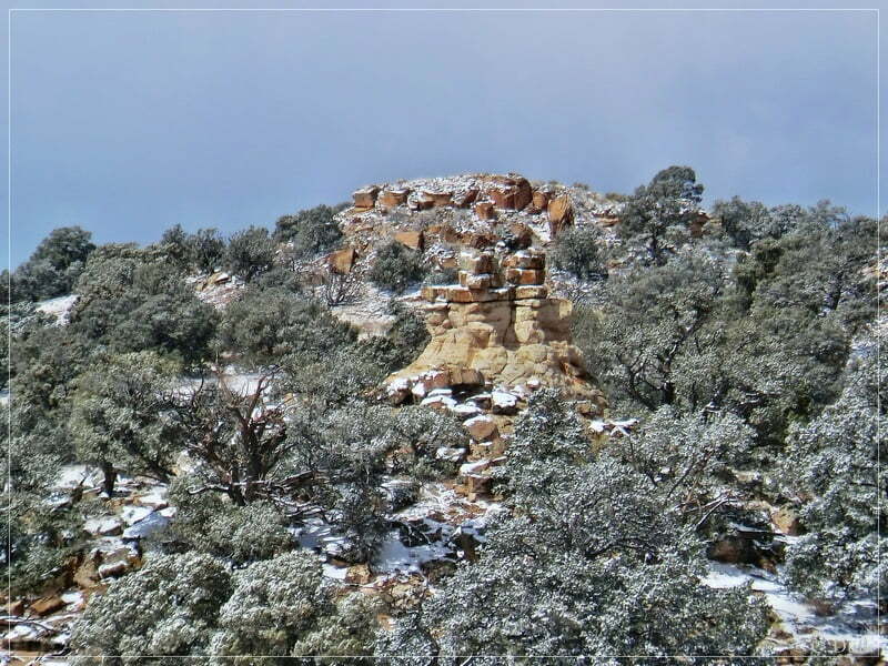
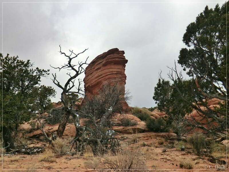
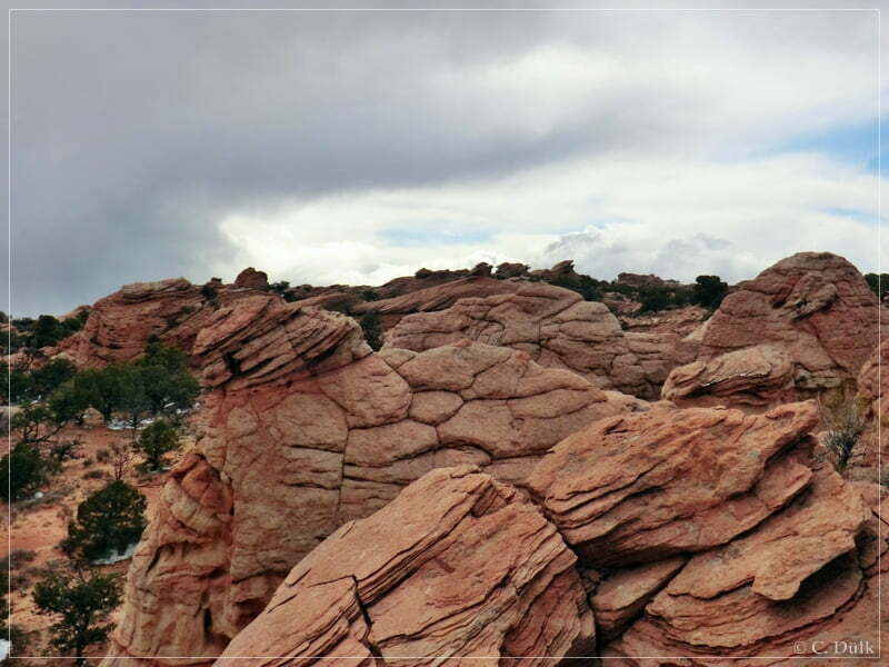
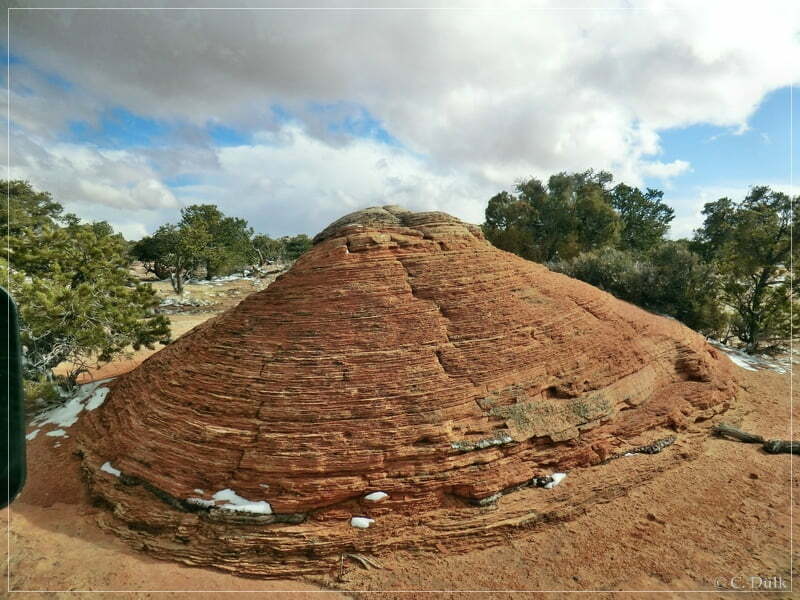
Here a few nice rock sculptures along the trail:
We are continuing on our way down into Pinnacle Valley:
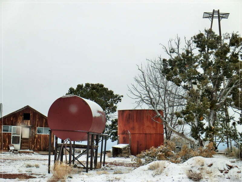
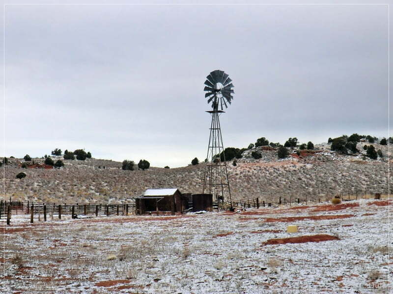
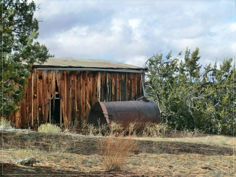
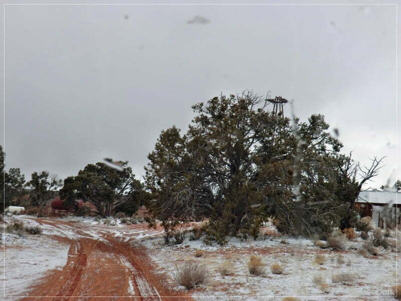
The ranch was also visible from the trail:
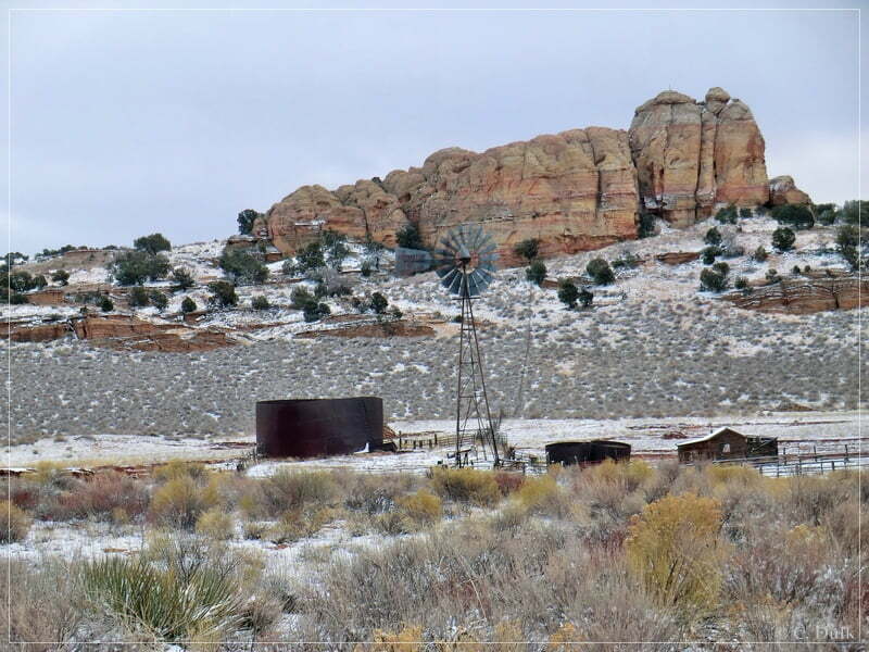
We had a short stop at the ranch and tried to discover the vicinity:
After some time we decided to go ahead:
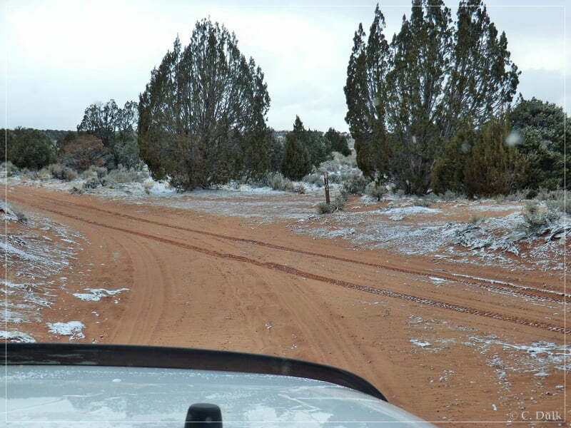
At 12S42257X 407375X there is a turnoff to the left towards Cathedral Valley. We continued straight and turned then left at the next turnoff at 12S42266X 407222X. We were following this trail to the left into a valley. This trail also leads to Joe´s Ranch.
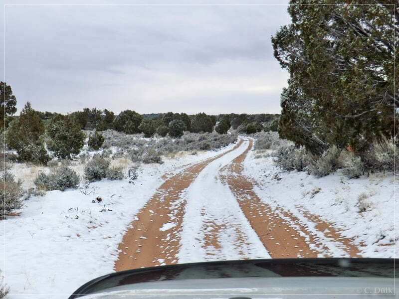
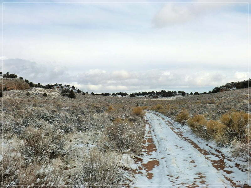
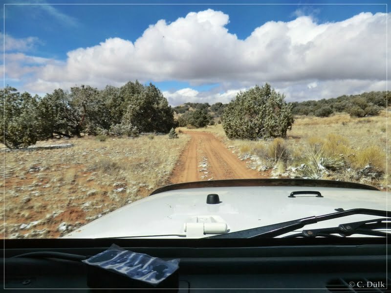
We continued on an easy trail:
Here a short view on our jeeps:
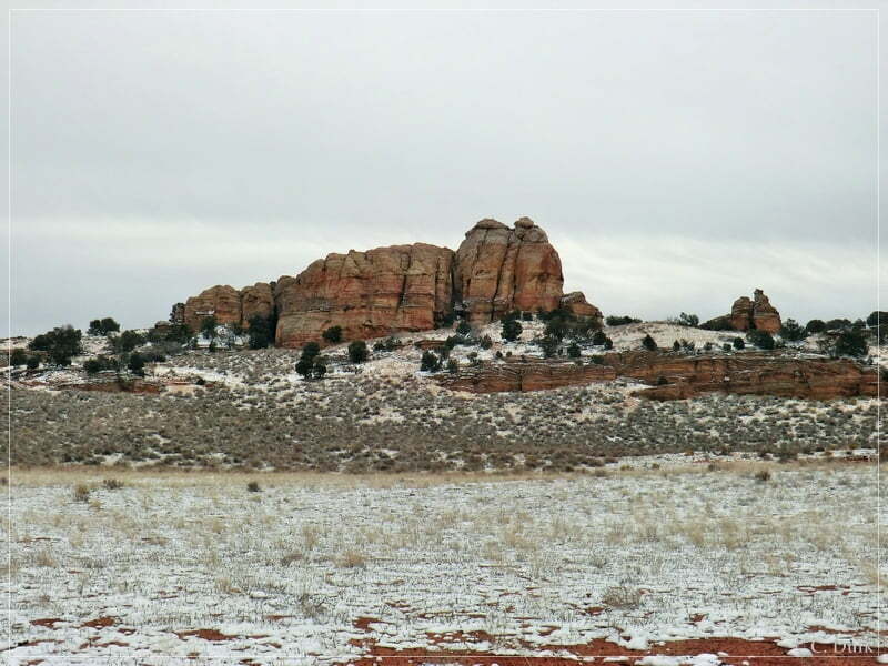
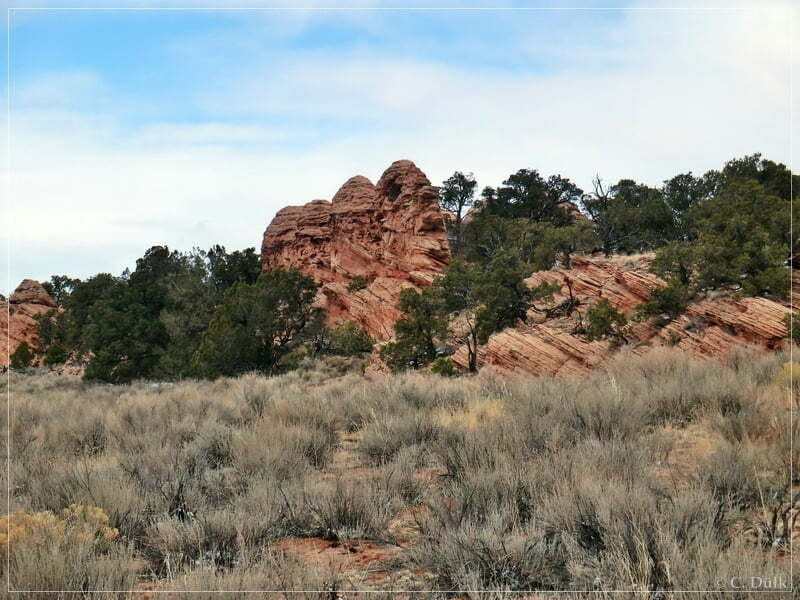
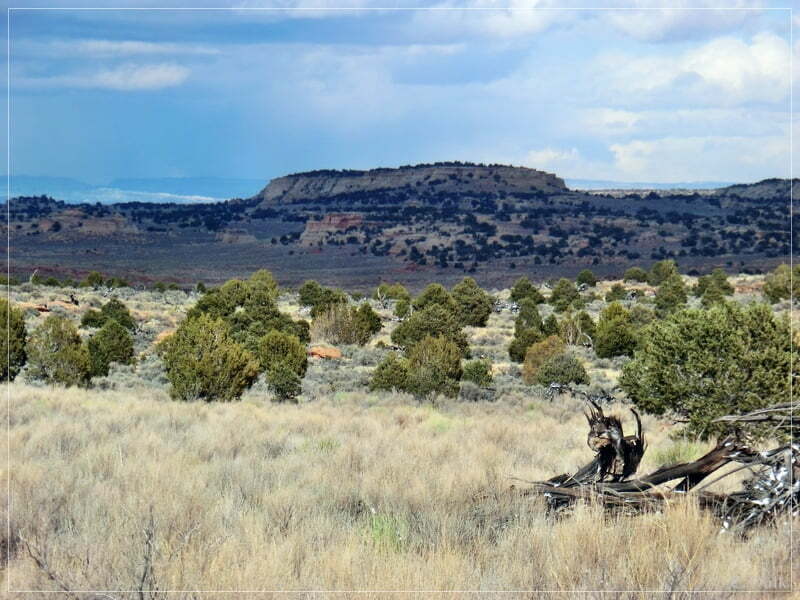
Here was also some nice scenery visible:
At 12S42720X 407408X had to decide , whether we want to go left or right. As I knew, that the trail to the left leads to Joe´s Ranch, we turned on the trail to the right.
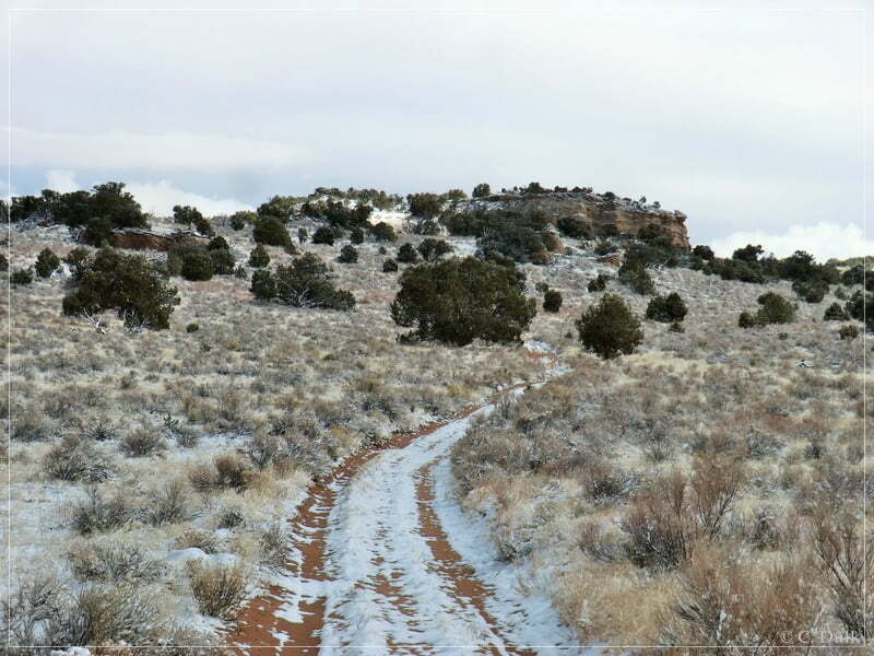
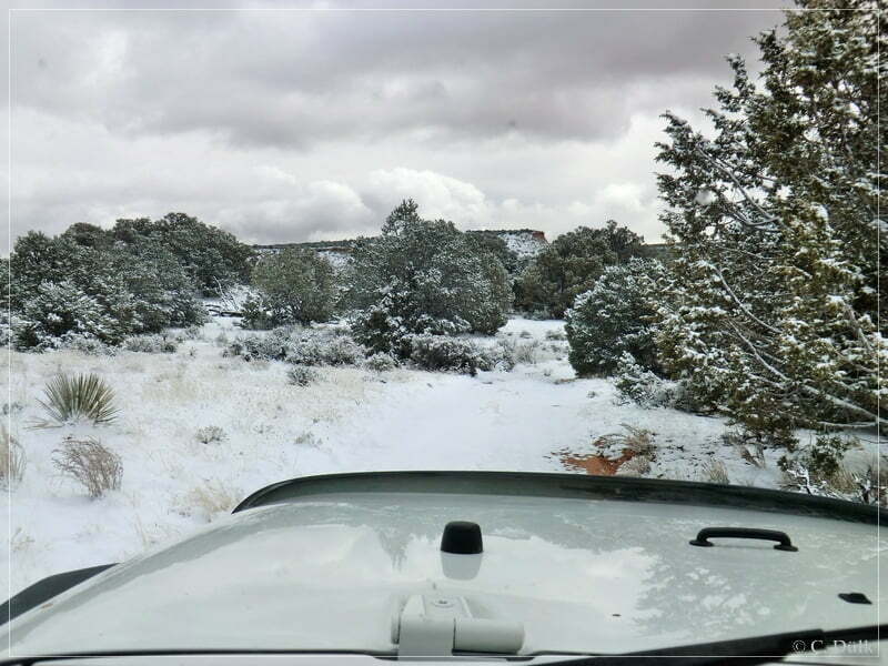
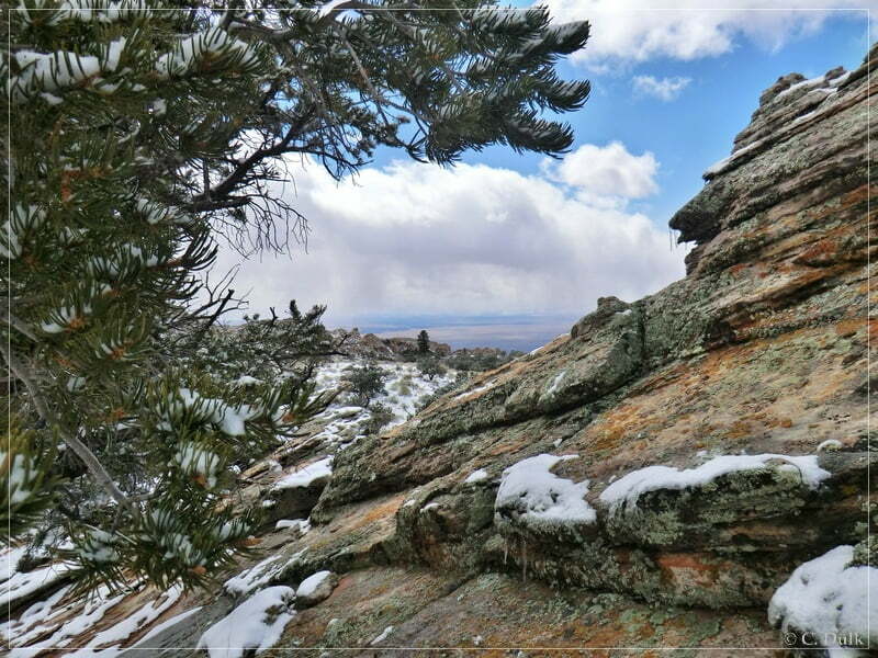
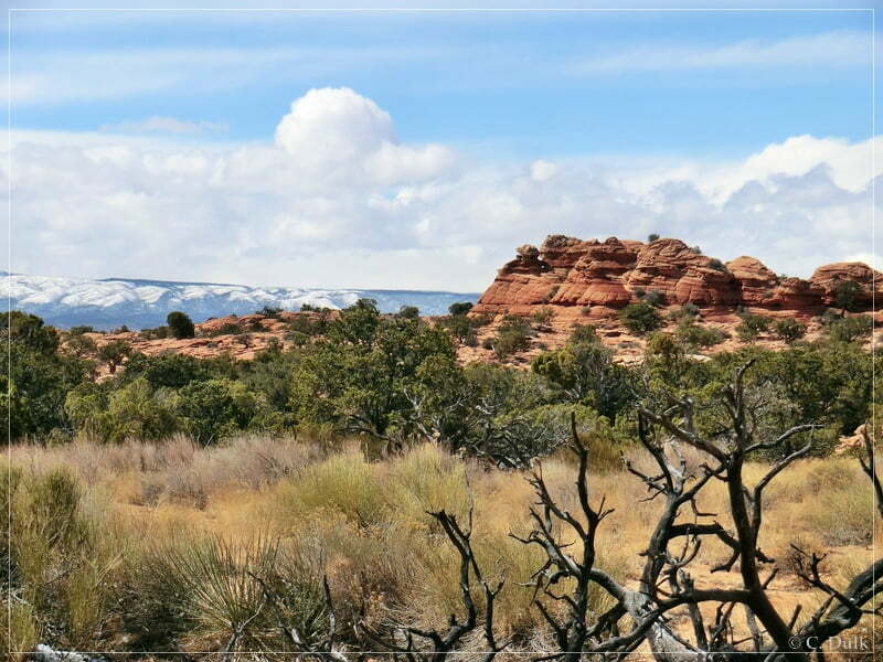
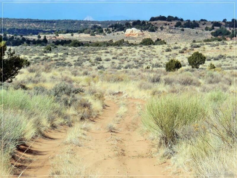
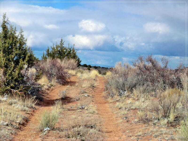
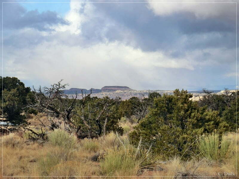
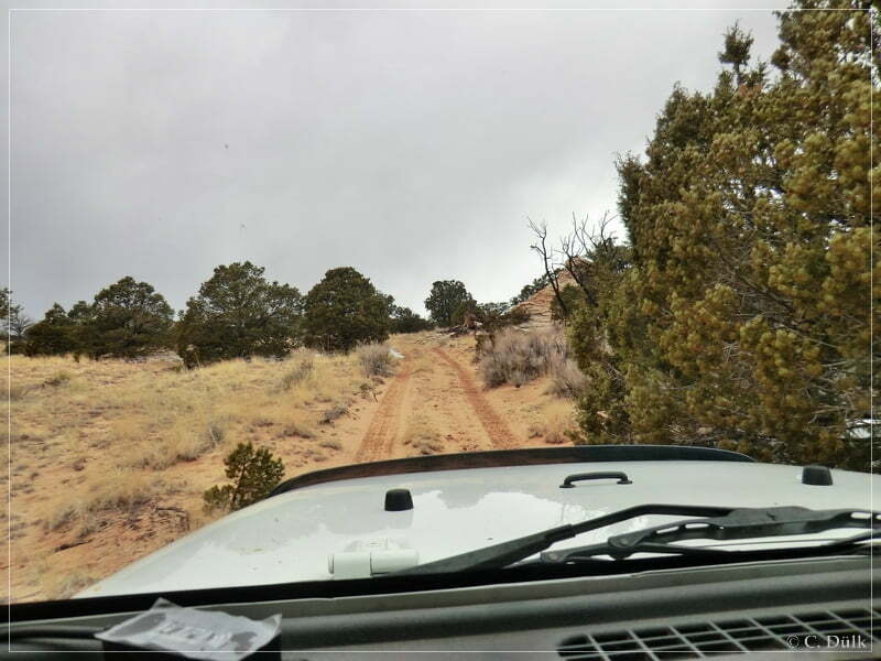
Here the trail points straight towards the rim region:
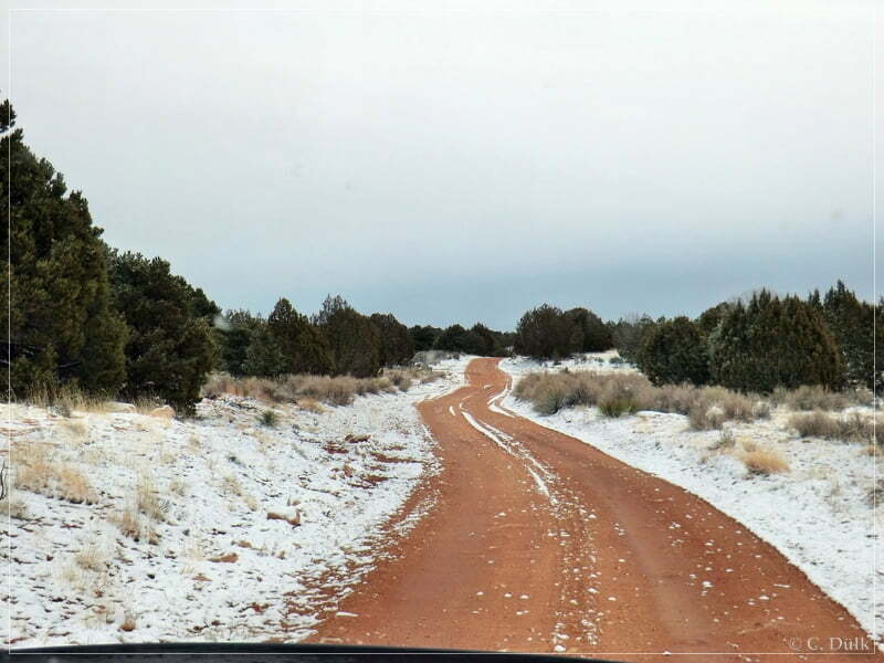
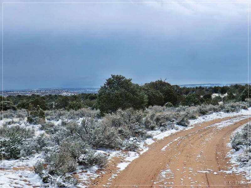
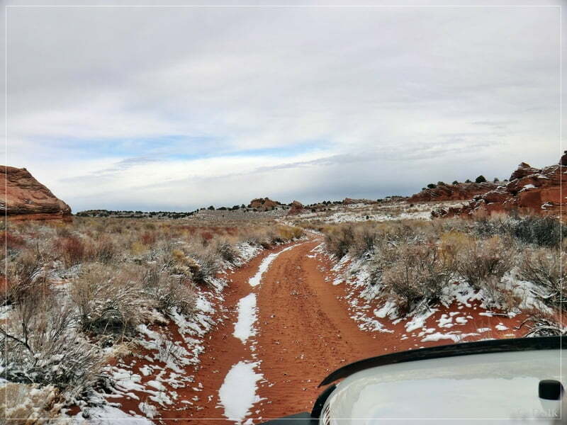
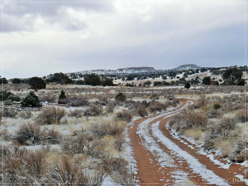
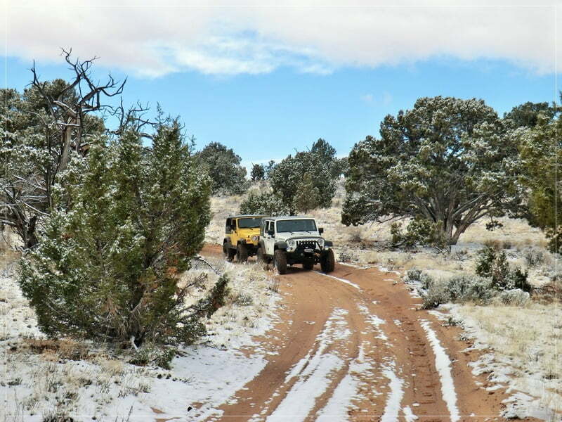
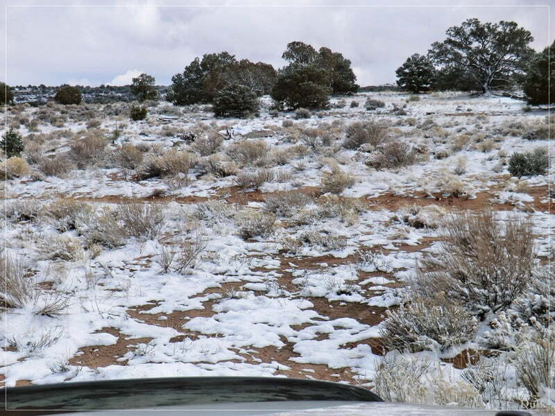
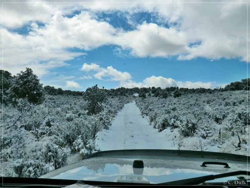
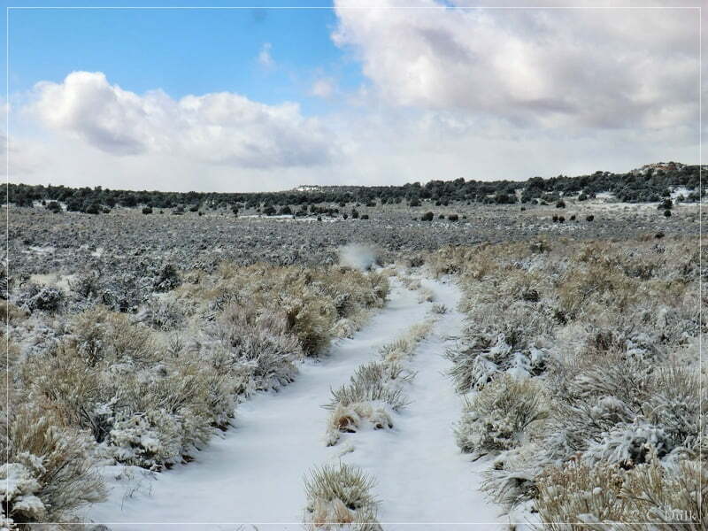
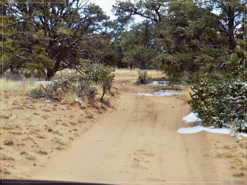
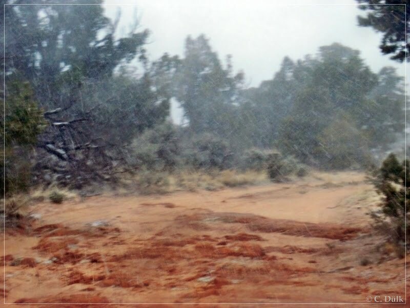
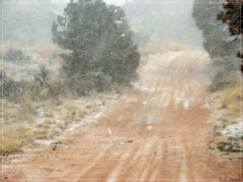
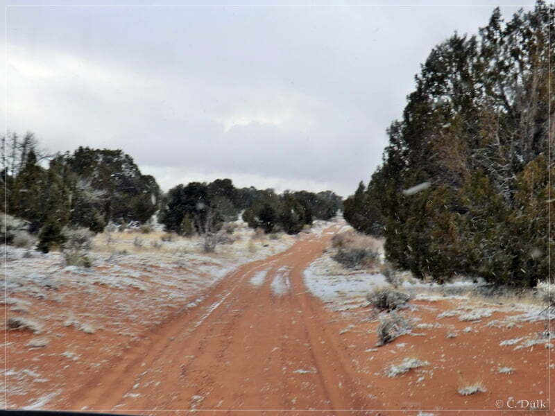
We climbed up in altitude and because of that we also saw some more snow around us:
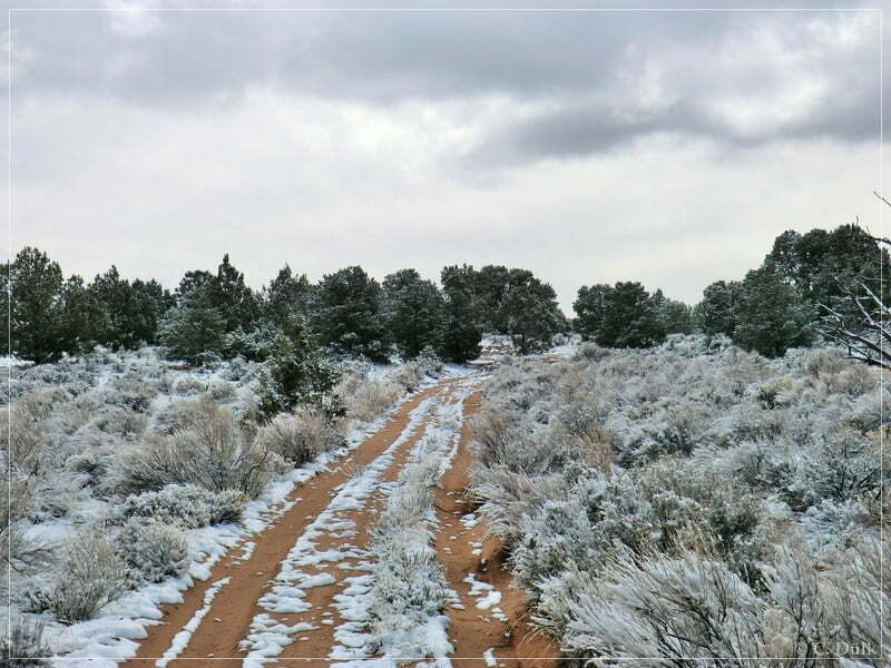
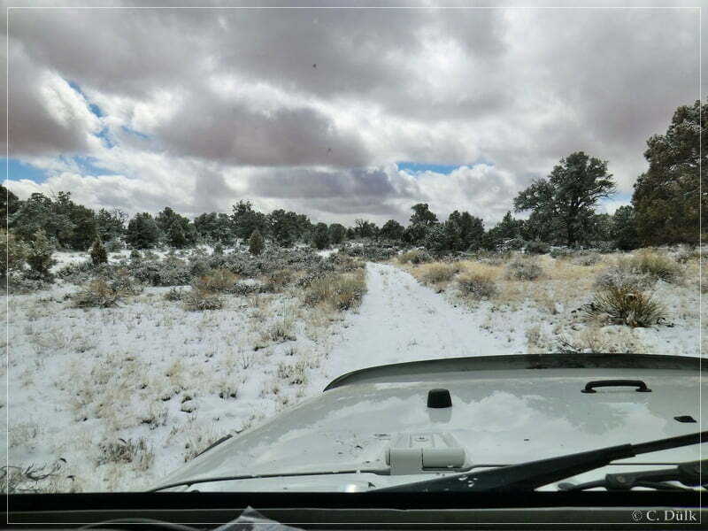
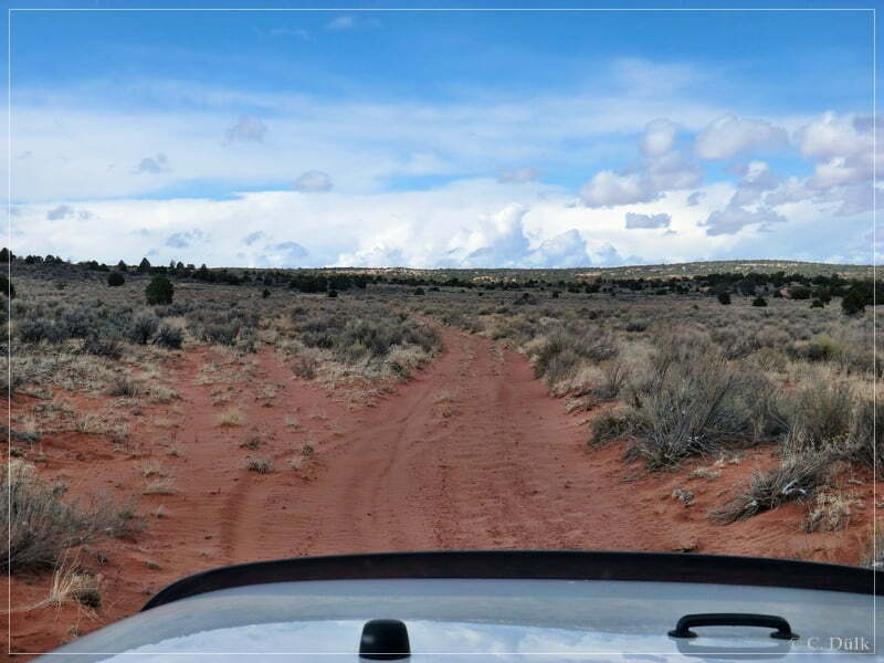
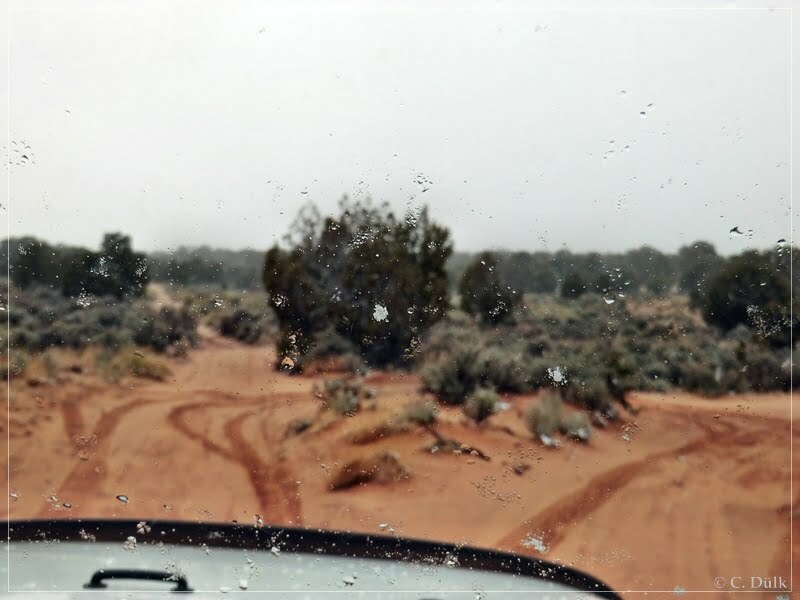
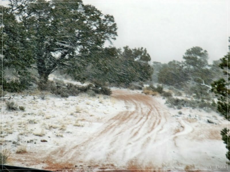
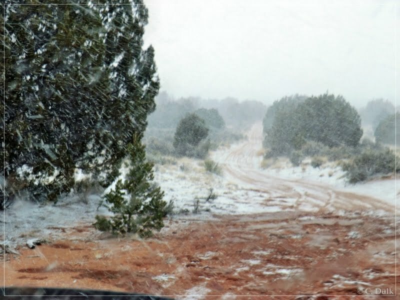
Partly the trail was barely visible. The positive thing was, that it was easy to drive on the snow.
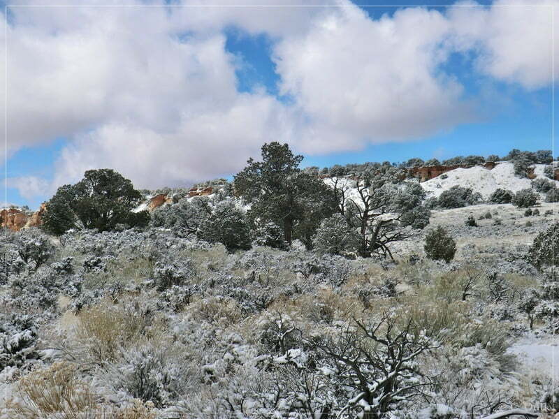
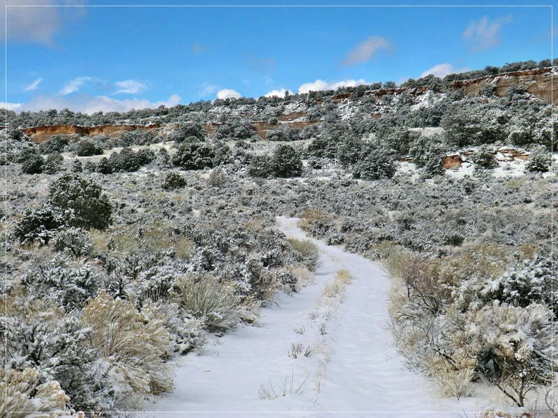
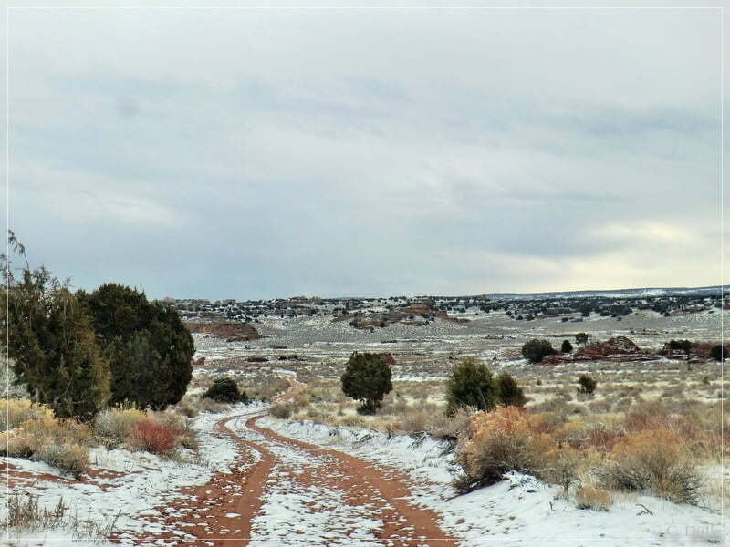
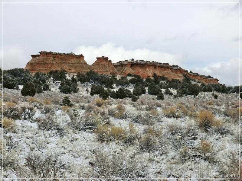
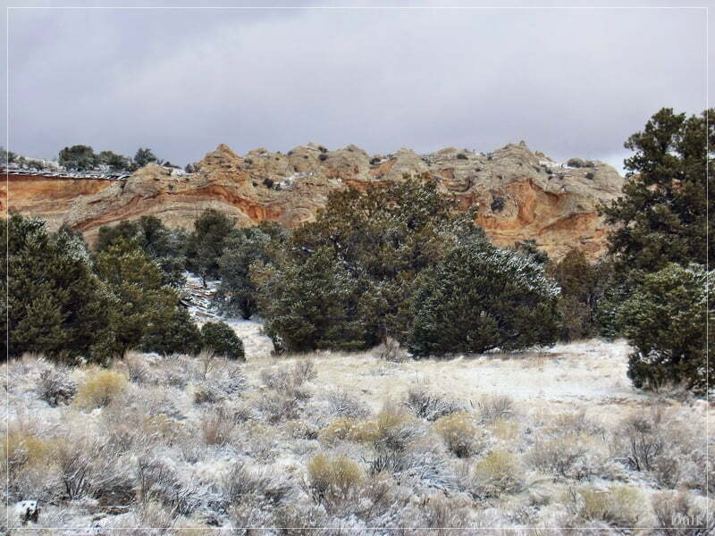
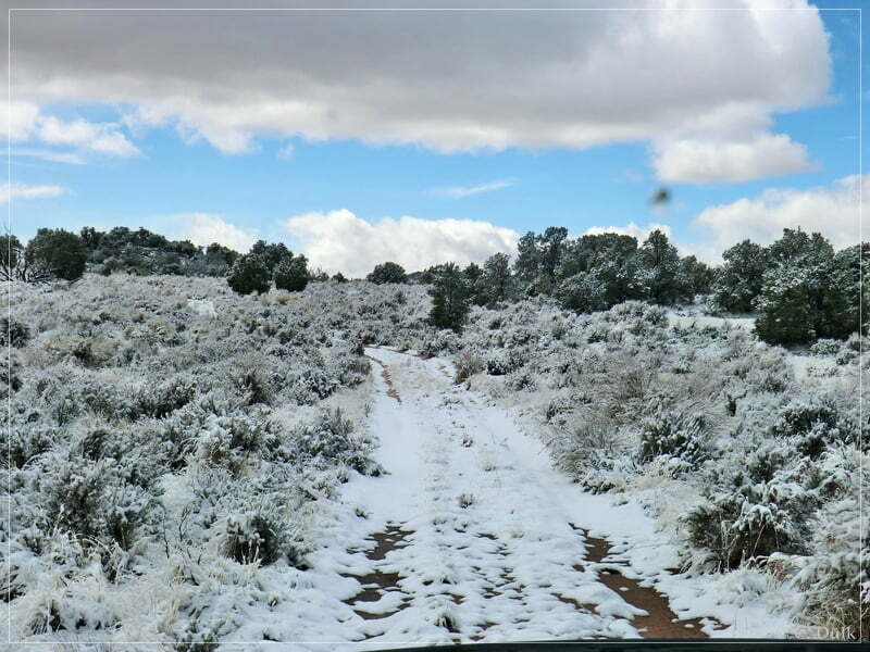
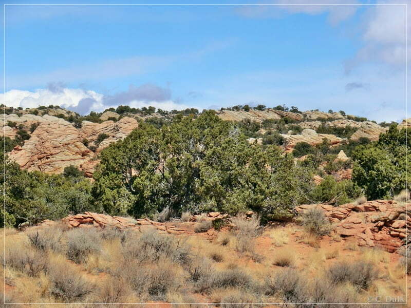
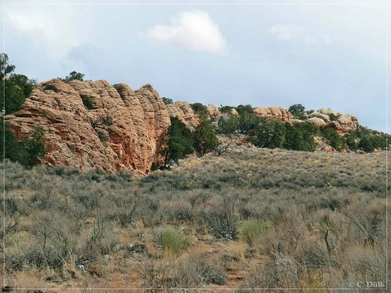
We were driving and driving and reached after some time the White Knolls region. We were driving around the edge there…
…and followed the trail more or less parallel to the Vermilion Cliffs rim. The weather also got now much better.
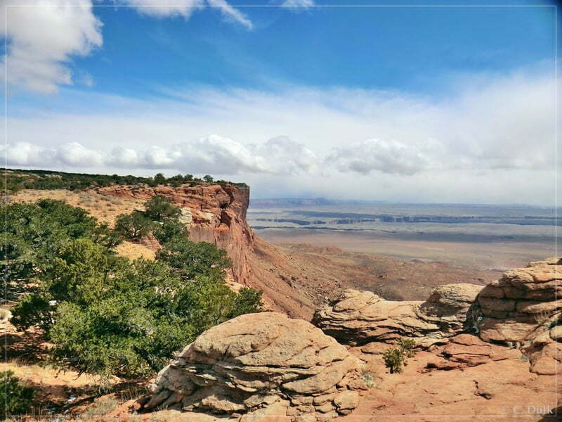
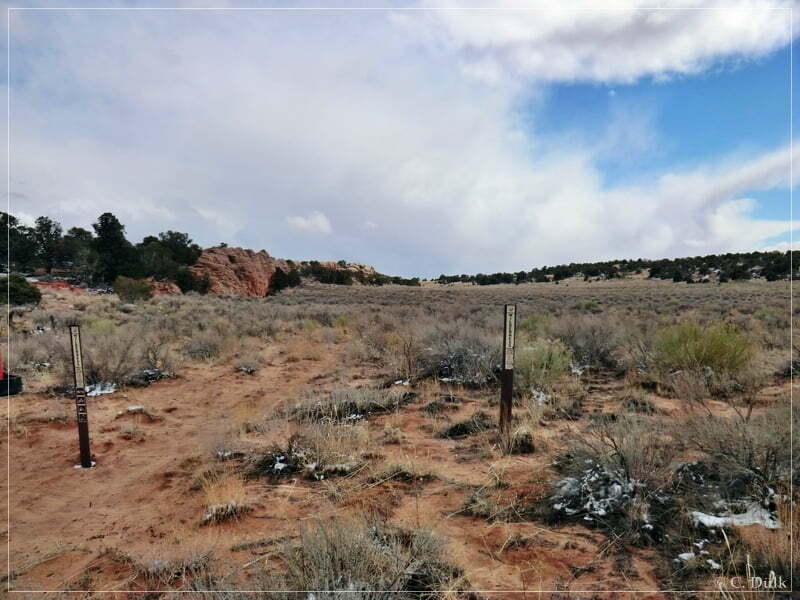
At 12S 42606X 406563X we arrived at the turnoff to the first overlook, we had planned to see:
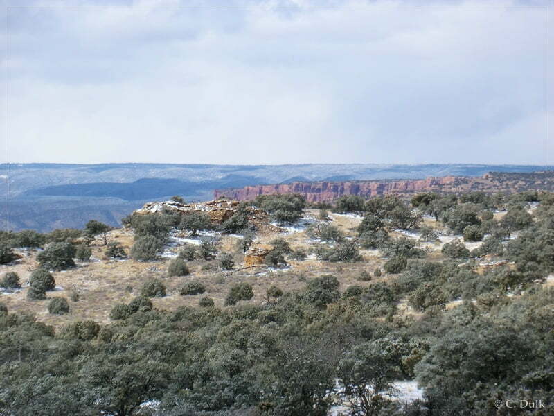
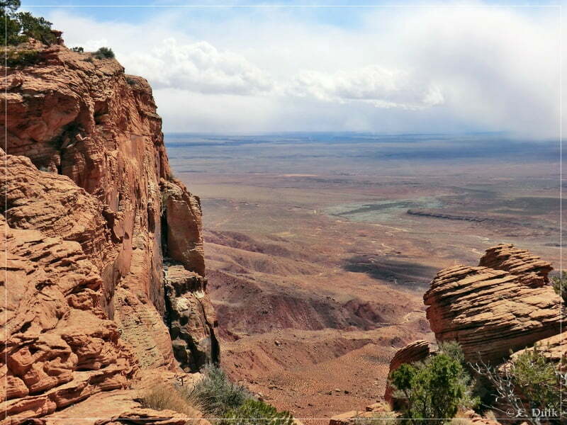
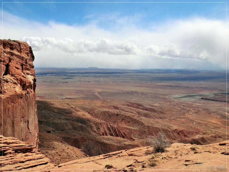
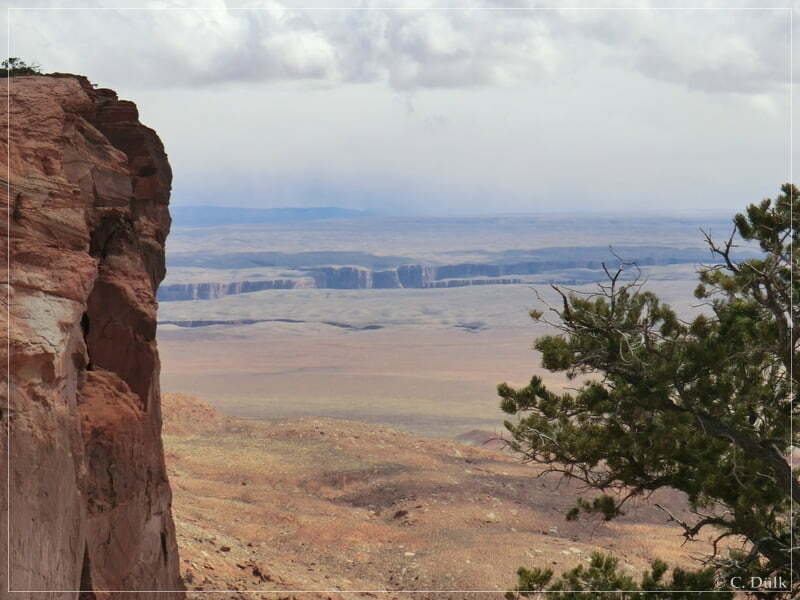
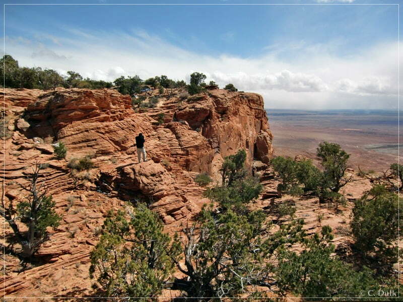
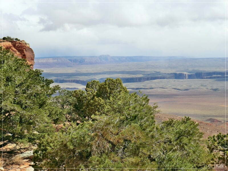
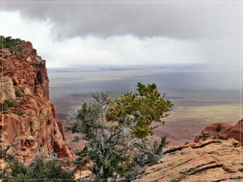
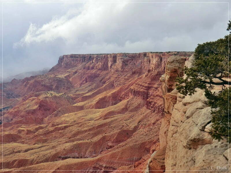
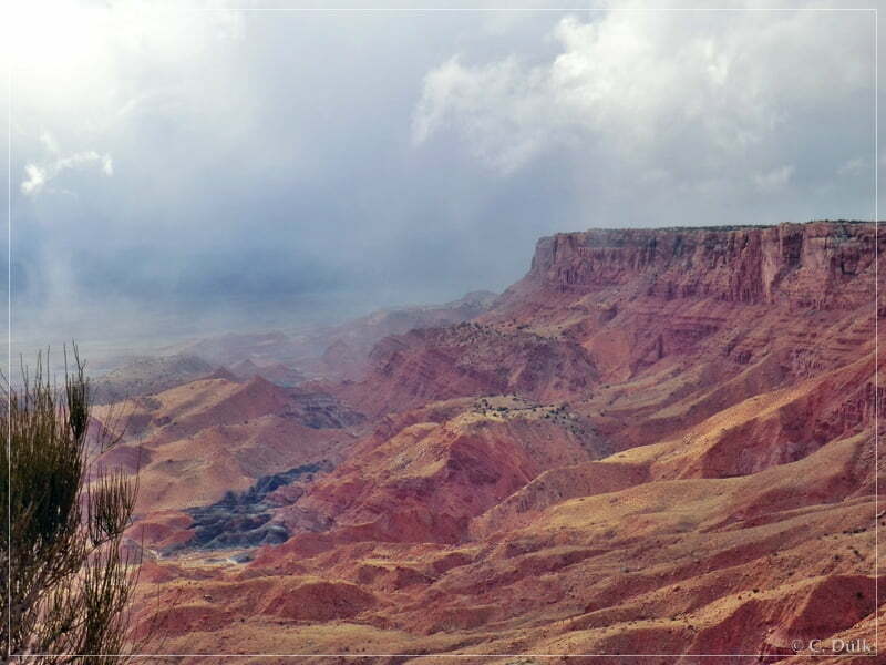
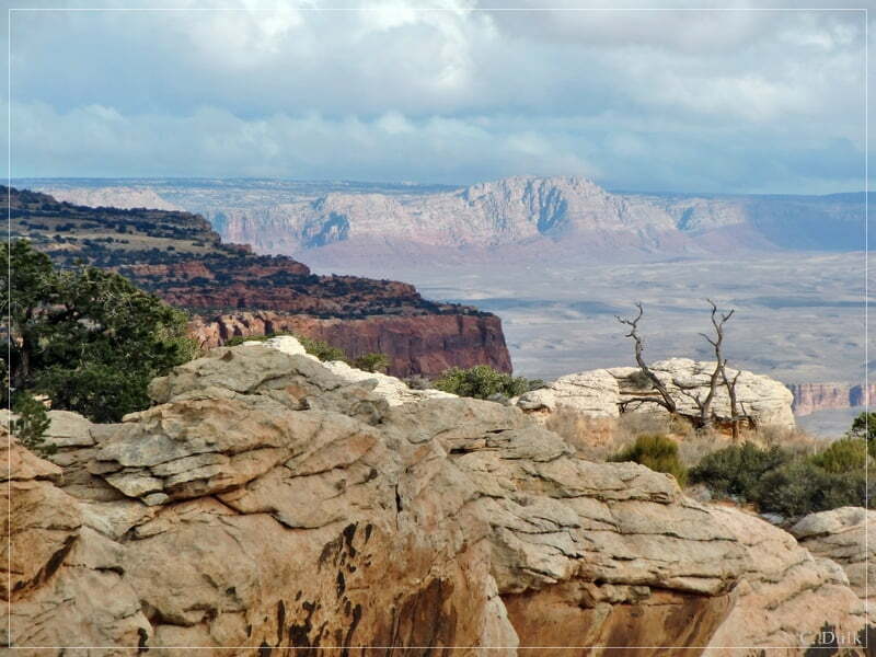
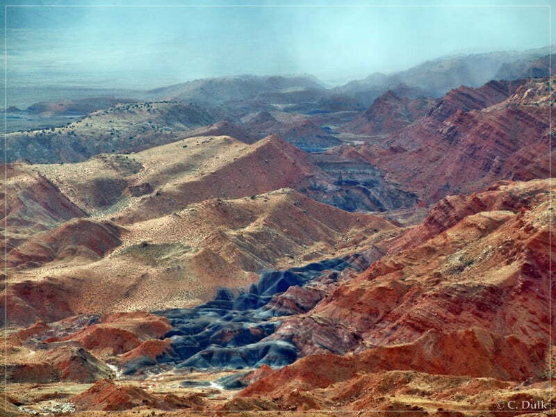
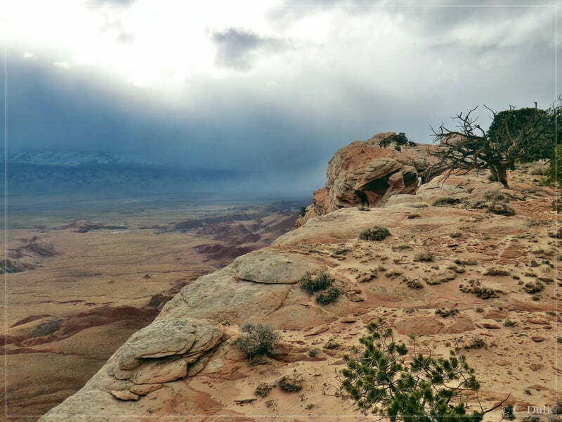
From there we had a great view:
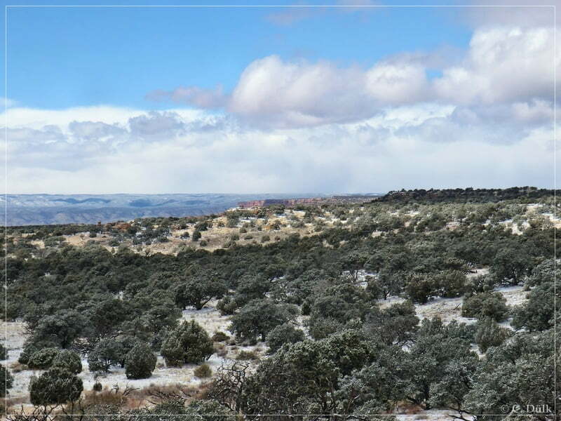
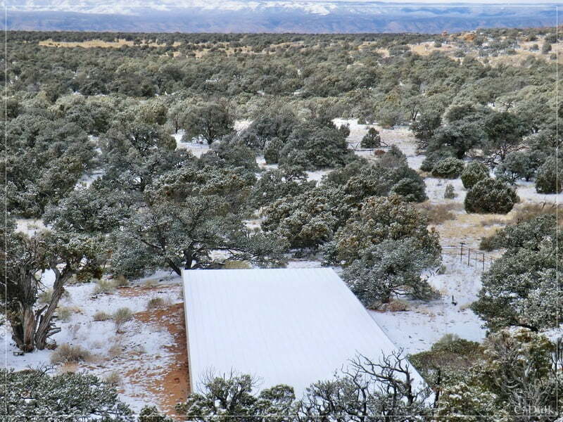
There was also a tank down there:
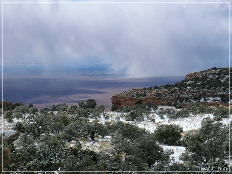
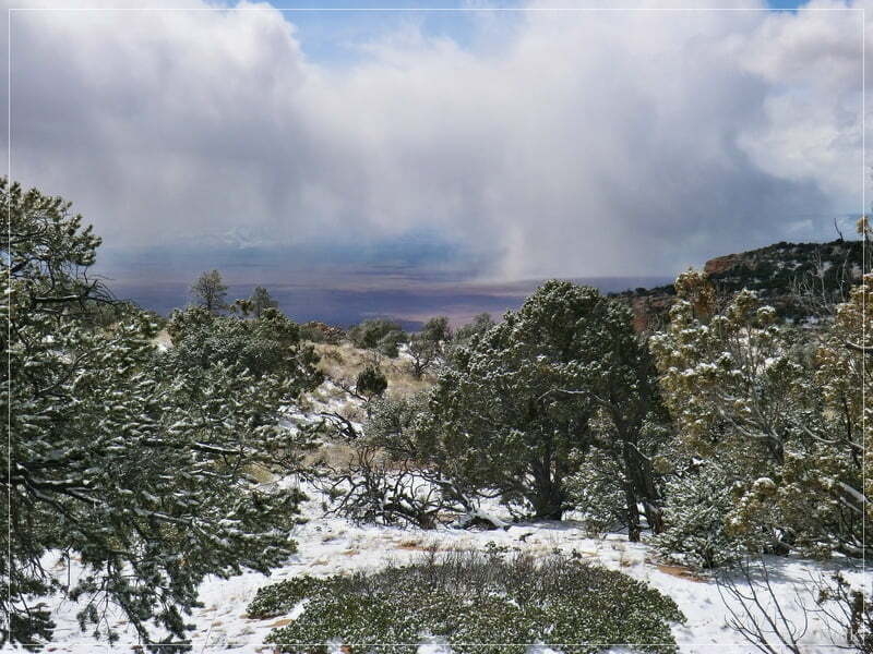
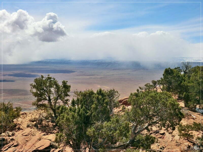
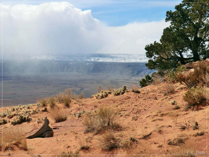
And nice ‘cloud’ pictures towards the west:
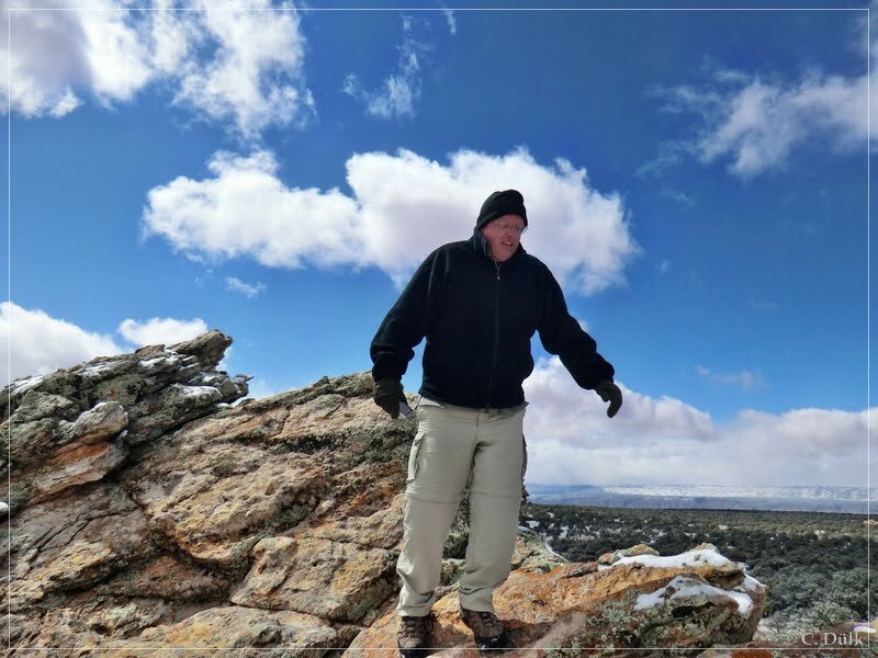
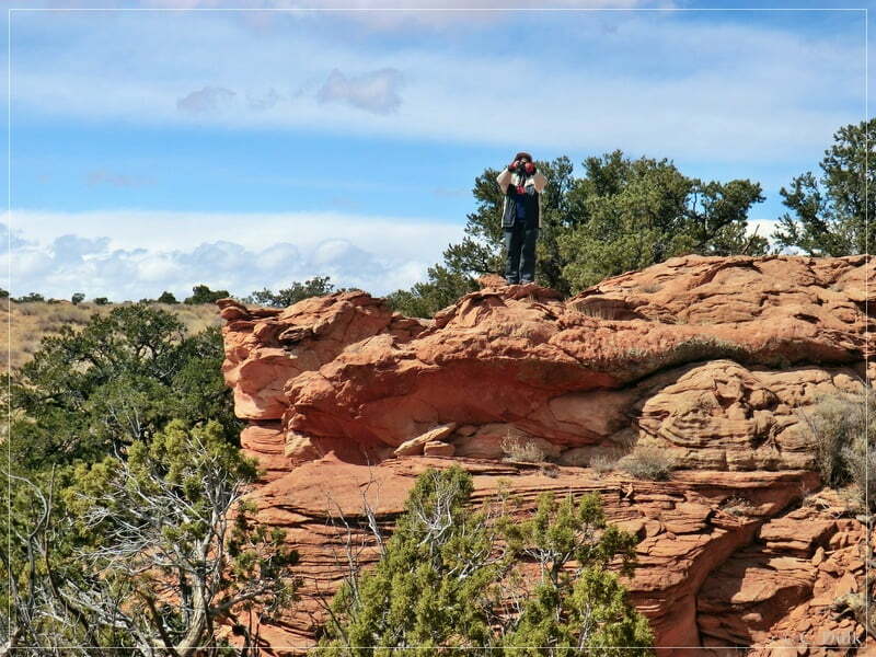
Mike while doing some climbing:
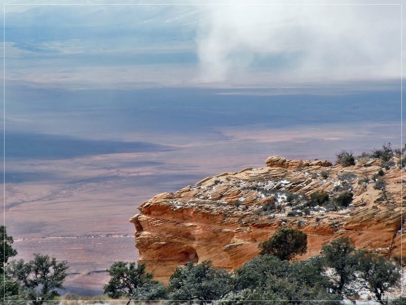
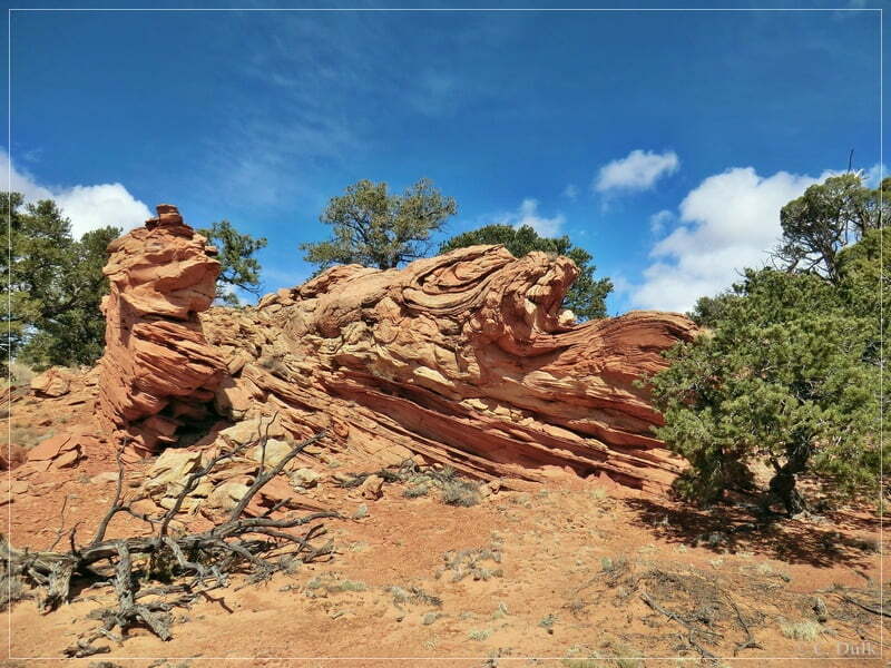
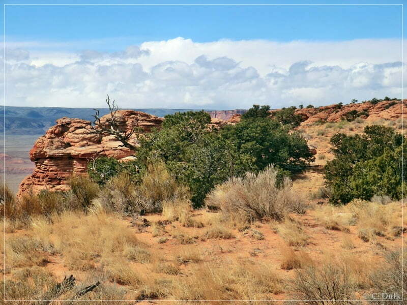
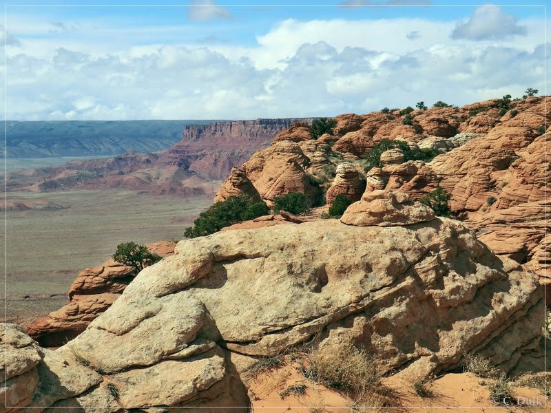
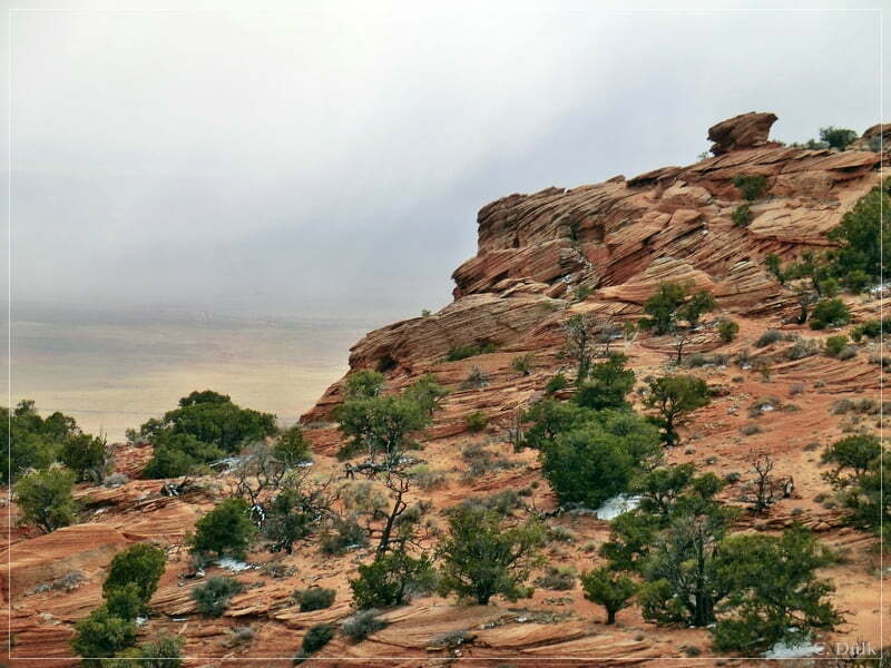
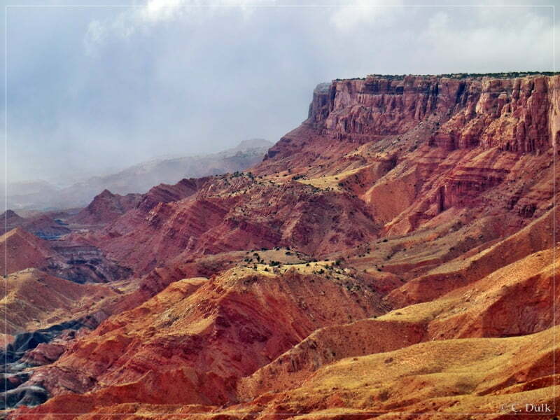
Here a few more pictures from region to give some impression about what to see here:
After continuing on the trail, we met one more turnoff at 12S42555X 406473X, where a short trail to the rim was starting:
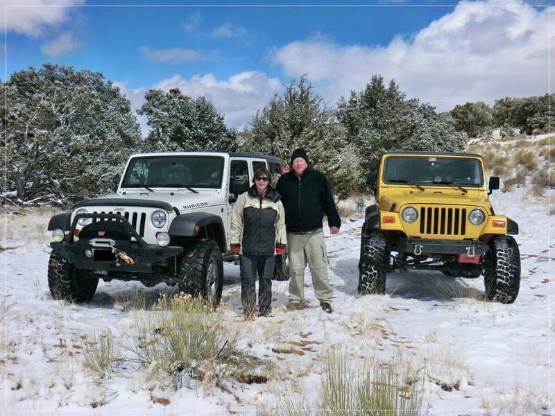
Before we started again a picture of Astrid, Mike and our jeeps:
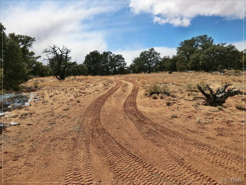
The ongoing trail looses some altitude and the snow also got less. The trail was at that time pretty much easy to drive here.
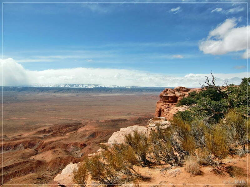
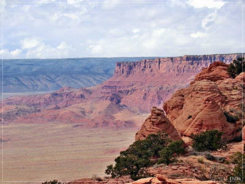
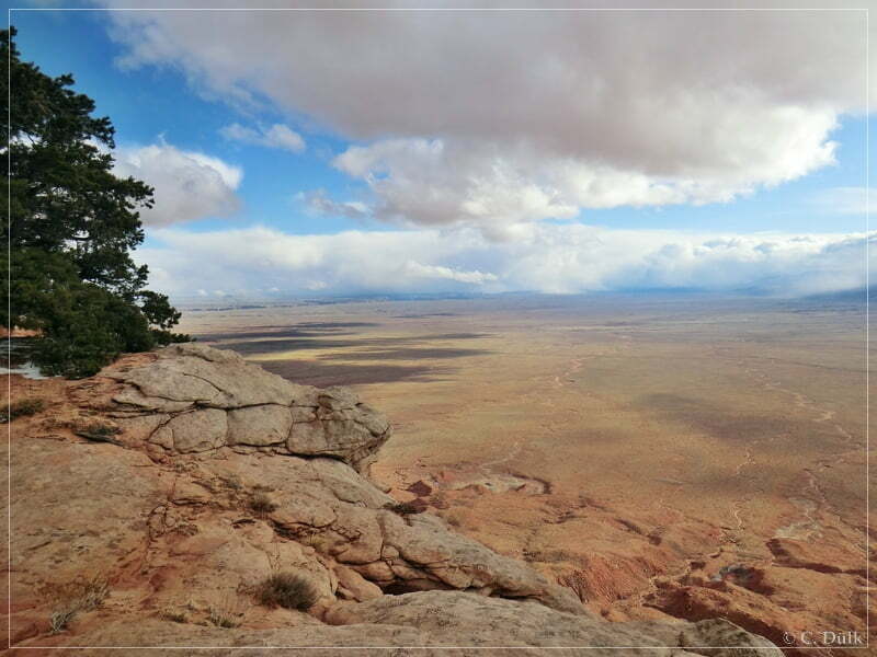
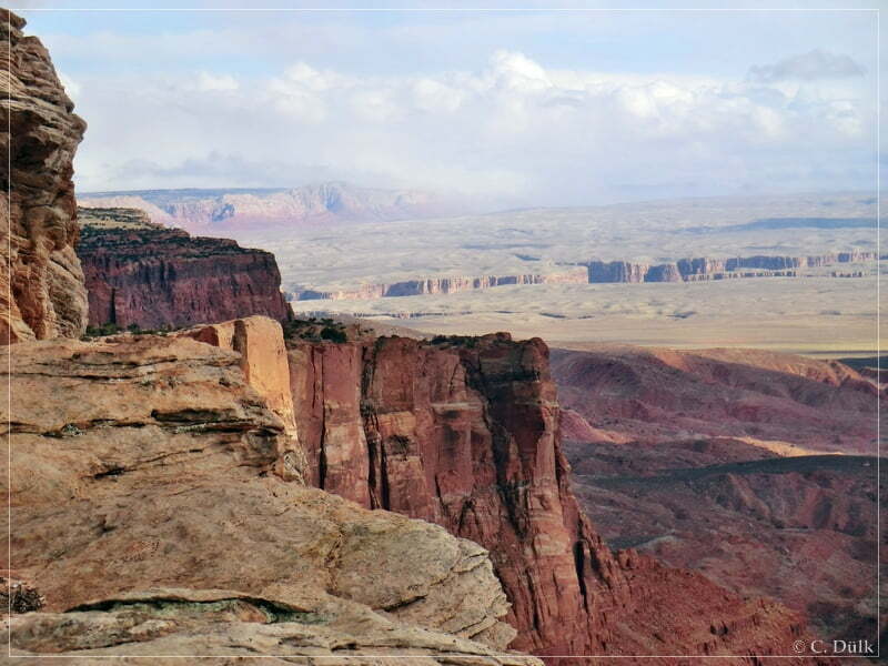
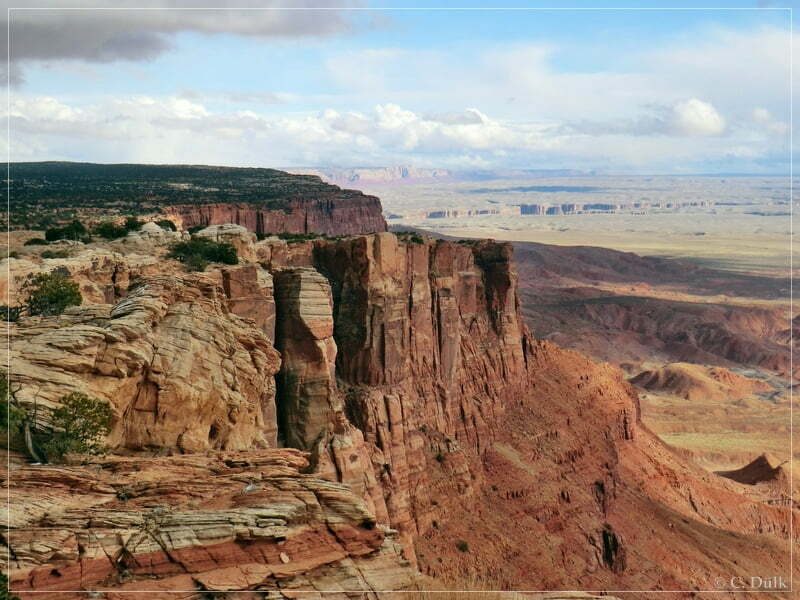
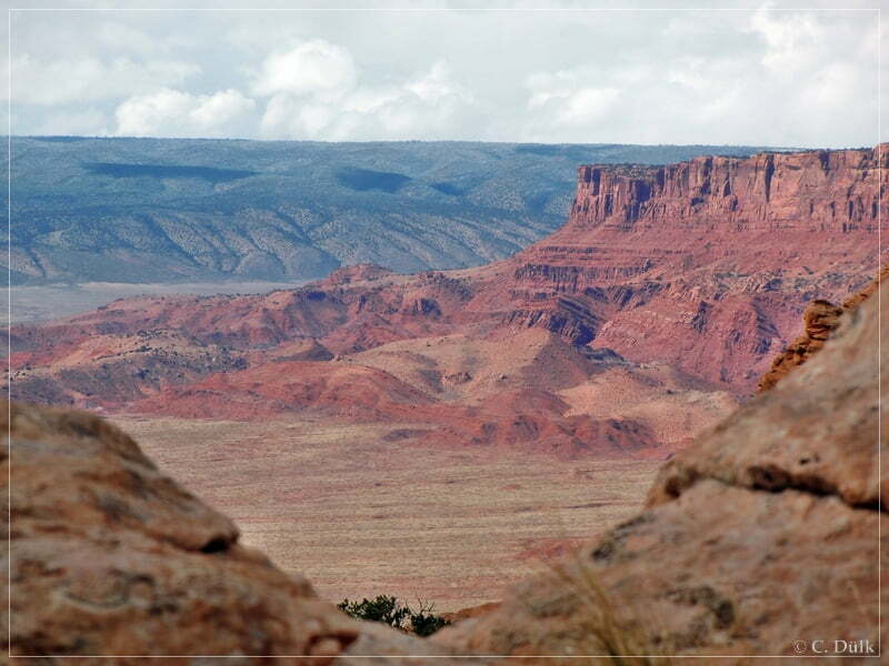
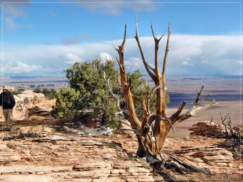
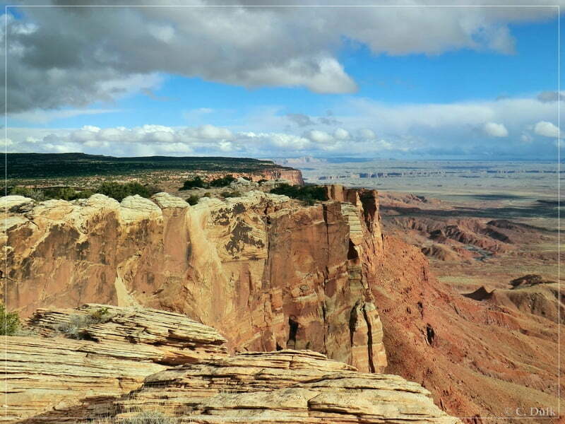
At 12S42274X 406507X we turned on a trail to the third overlook, we had planned to visit. Here one can also have outstanding views to the vicinity.
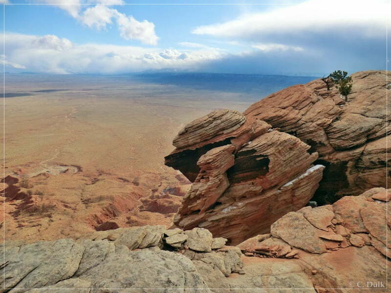
Marble Canyon is also visible:
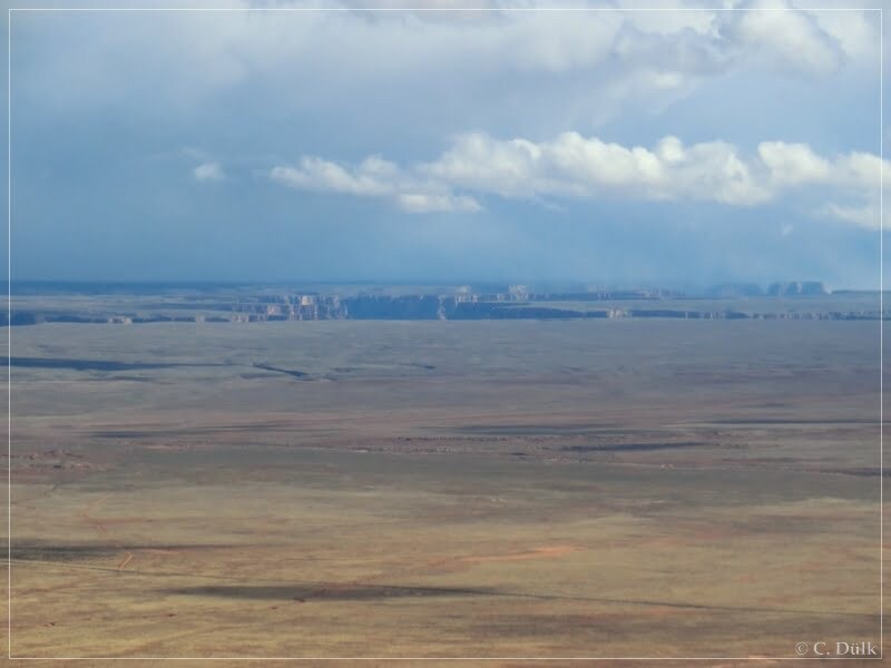
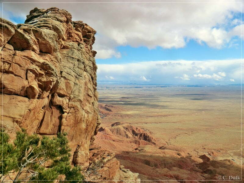
And here a view to the west:
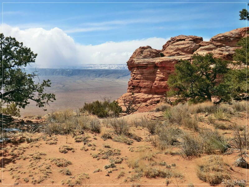
Down there is House Rock Valley Road:
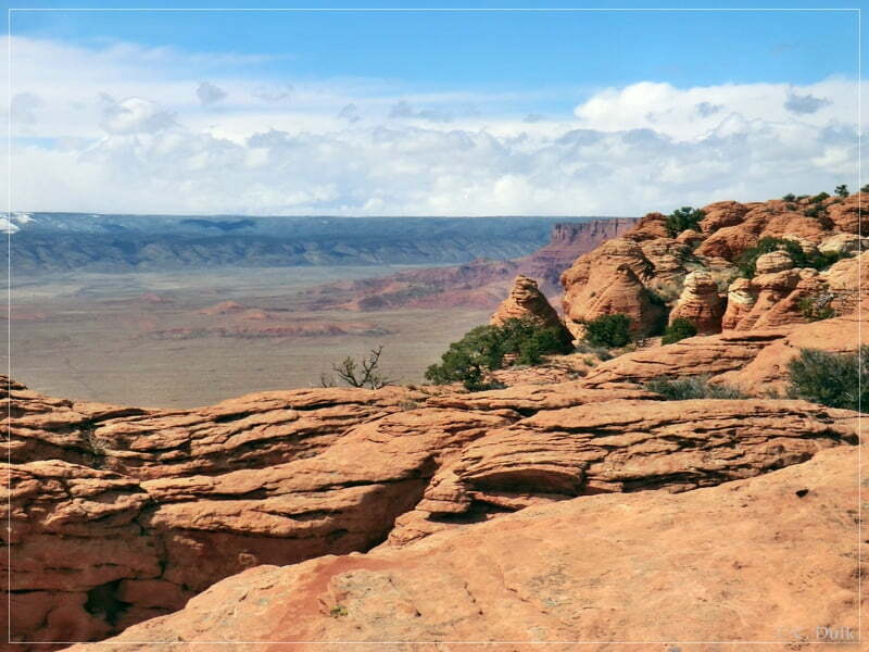
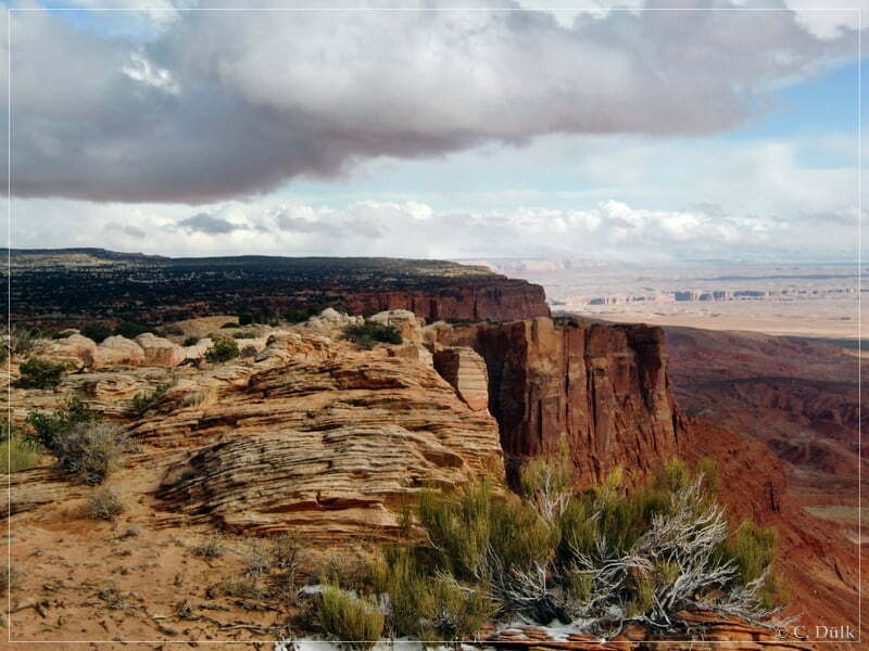
And here a view more pictures from the vicinity:
After having been back on the main trail, we continued into northerly direction:
At 12S41953X 407006X we arrived at the trail onto One Toe Ridge. This trail leads down to the crack at the rim:
After a mile or so, we arrived at the wilderness study area boundary and had to hike from here. We were following the old road for around 1 – 1.5 miles….
…before we reached the crack:
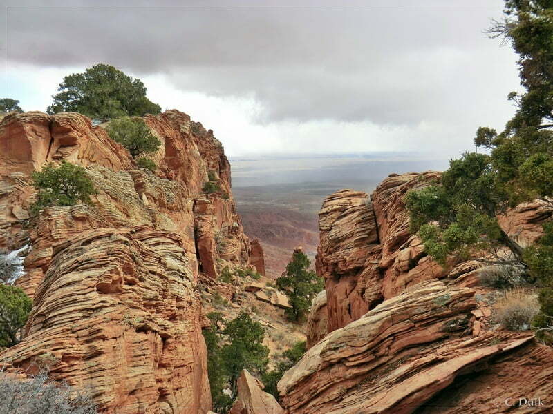
Here also a few pictures from the vicinity:
The old road continues to the left side of the road. But as it was very cold and pretty stormy this day, we decided to walk back to the jeeps. Back on the main route, we followed the trail towards Jarvis Ranch.
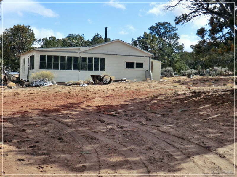
Jarvis Ranch is located roughly at 12S41923X 407071X. Here is also a trail turning off to the right, which goes down into Pinnacle Valley. The ranch itself is still in pretty good shape.
We again went further straight as we wanted to show Mike two more scenic overlooks, which we already visited last year.
With this in mind, we drove until reaching the position 12S41615X 407049X. Here we turned to the left to reach again One Toe Ridge.
The trail ends again at the WSA boundery and we had to walk a short distance towards the rim:
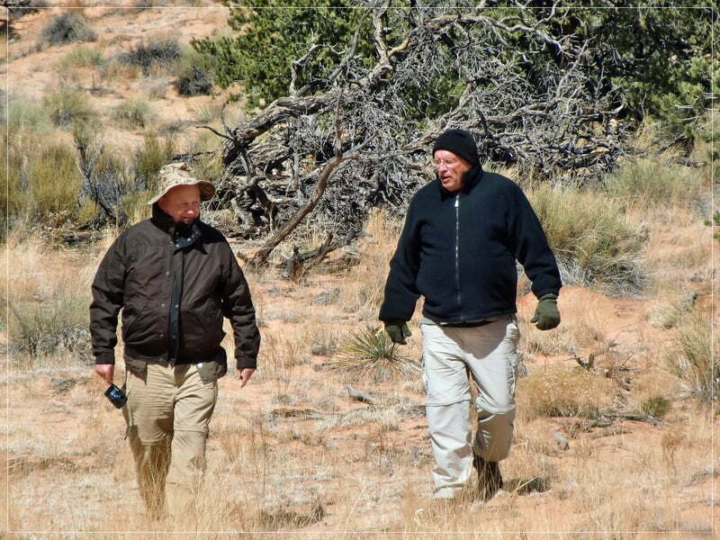
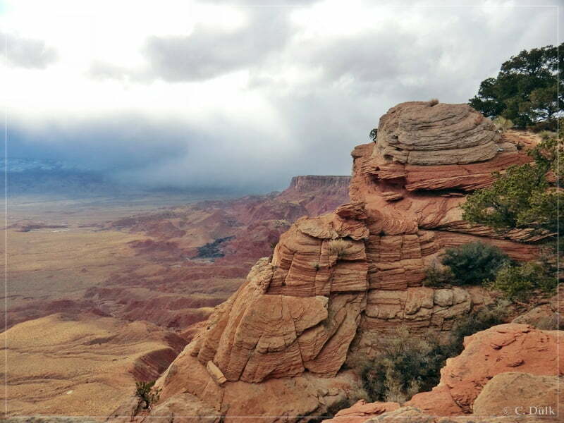
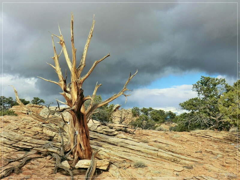
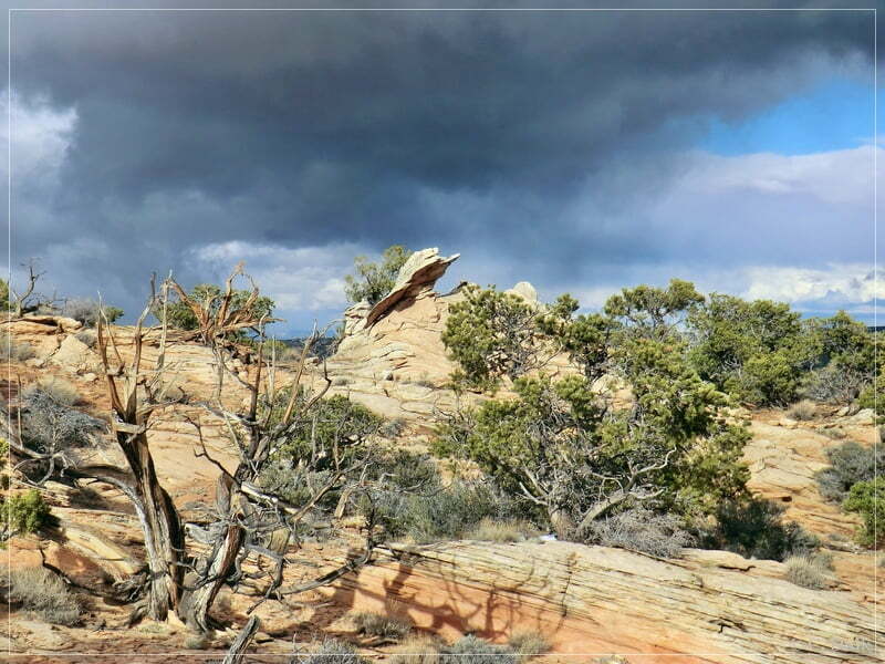
From the north a storm came in, but this did not prevent us from exploring the area here:
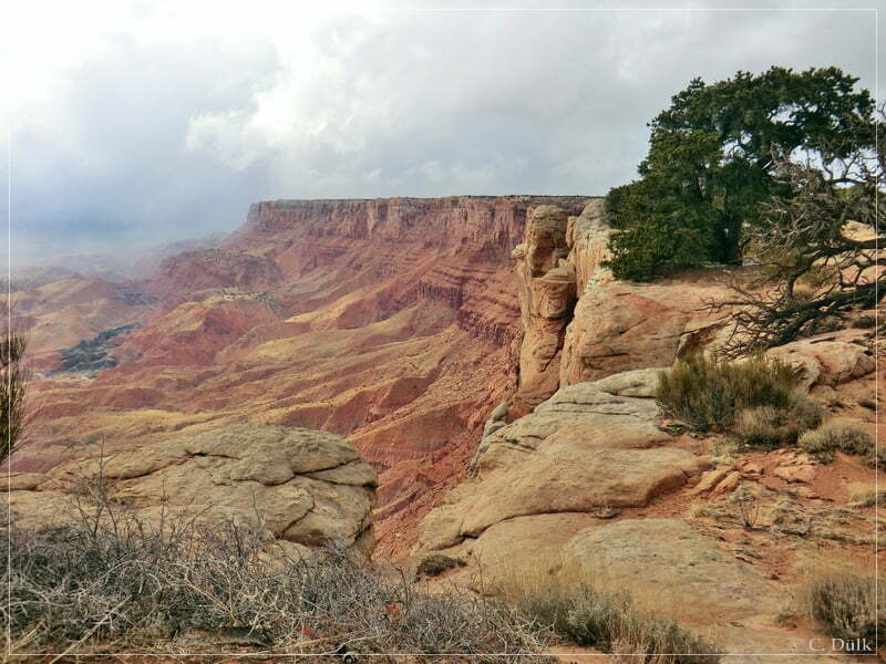
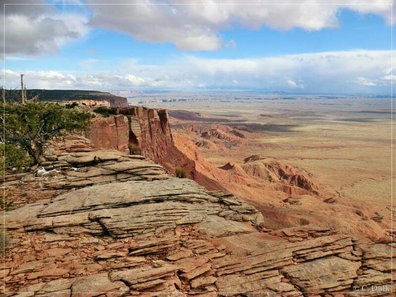
Towards the south, the weather was still good:
Here a few more pictures from the area here:
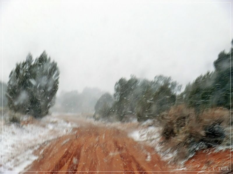
As it got more and more stormy, we decided to leave.
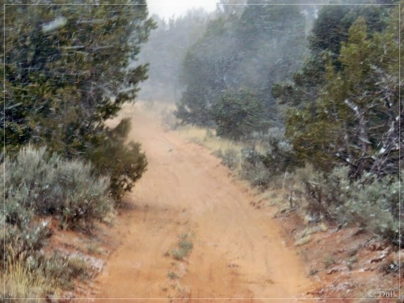
We followed the trail back to the main route and turned left there. AS it started to snow, we decided not to go the next overlook above Bonal Springs. Instead of this we have choosen the trail to the right at the next for, which leads down to Pine Tree Road. On the next picture you can see the trail going straight leads to the Bonal Springs Rim region.
The following pictures show the way back down to Pine Tree Road:
After some time we met Pine Tree Road and followed this road to the left towards Coral Valley.
Being back on House Rock Valley Road we had again a nice view up the rim, where we had been aroudn on this day.
Shortly before sunset we were back at US89A, where we had to air-up our tires. After this we went back to Lee´s Ferry Lodge and had a good dinner and a good beer at the end of the day.
Here one can also download a gpx file of this trip:
Tracklog: Southwest Rim Region, Vermilion Cliffs NM (734 downloads )
And the map gives an overview over the region, we visited:


