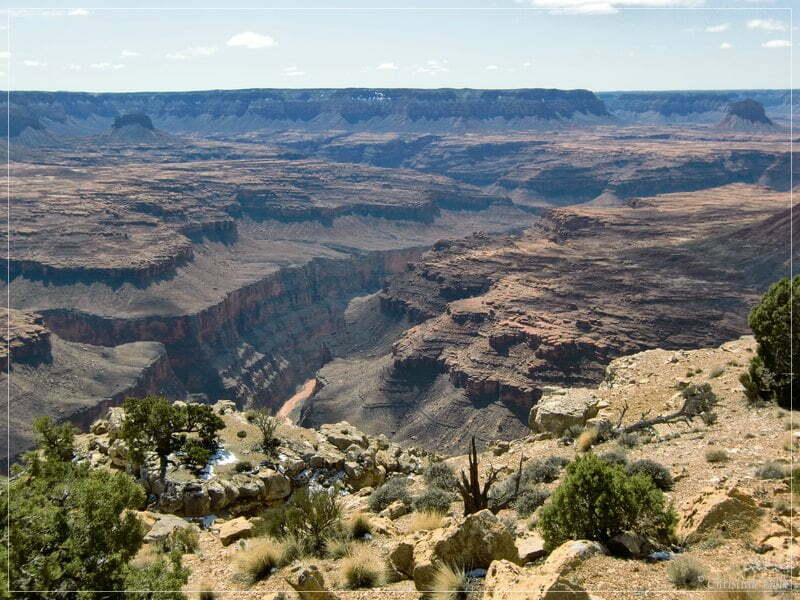
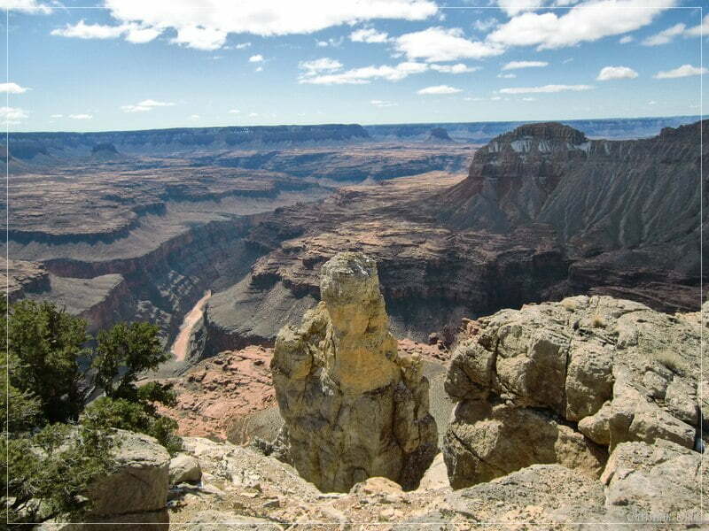
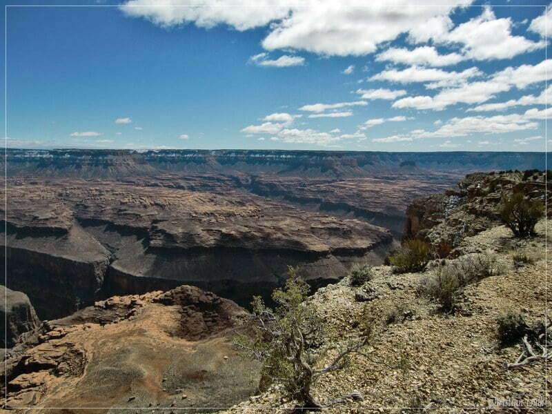
Besides the well known viewpoints at the Grand Canyon North Rim there are a lot of other, not very well known overlooks existing. One of this overlooks is “Kanab Point”, which is located, where Kanab Creek meets the Grand Canyon. This viewpoint is part of the Grand Canyon National Park. The trails, which lead you to this location, are mostly located outside of the National Park in the Arizona Strip. When going there, one has to consider, that the park administration closed three of the trails, which lead to Kanab Point, for SUV travel. As far as we know, there is only one trail open at the moment.
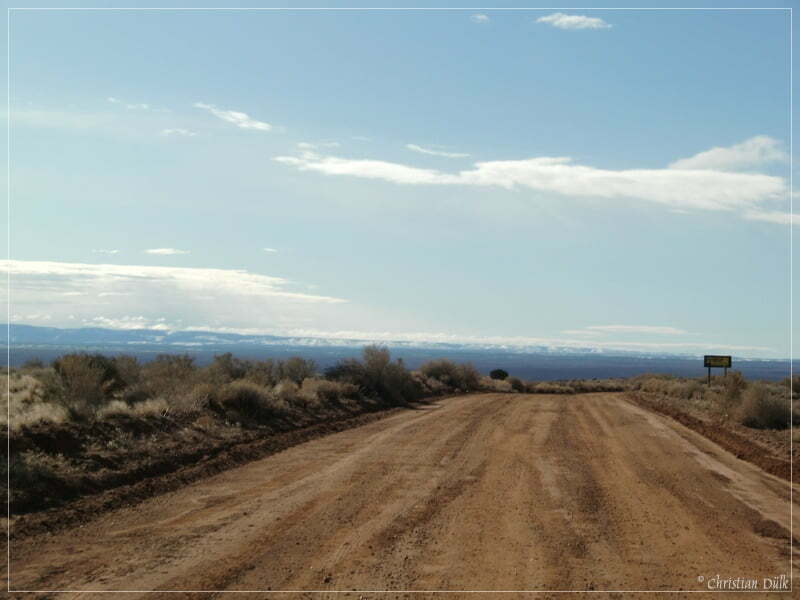
We start with our MOE 4wheeling friends from US389 to Mt. Trumbull road und follow this well defined road in southwest direction. We did not know, whether we could do this trail today, because the day before there was a heavy snow storm. But today the weather was really promising and the trail itself quite dry. Here is a view on Mt. Trumbull road:
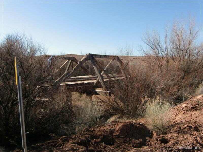
On our way we passed an old bridge, which was left from the old trail routing.
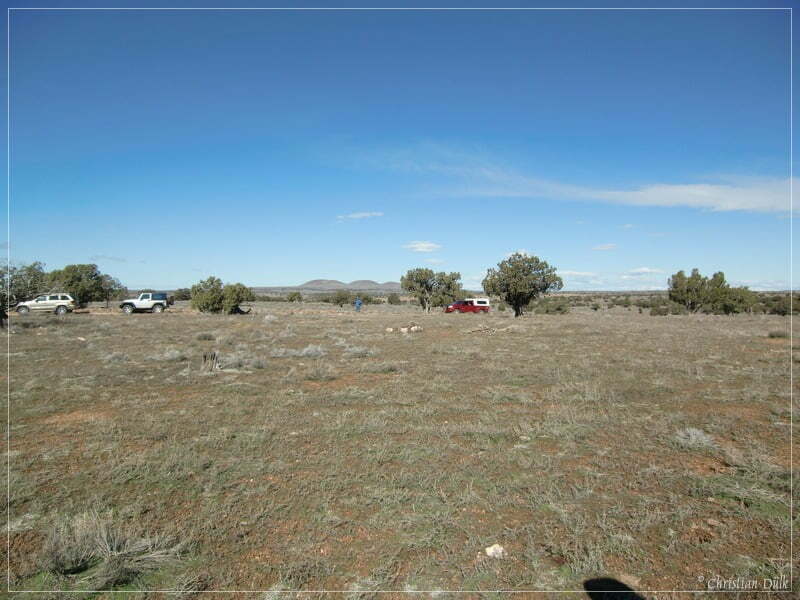
At 12S33172X 404854X (UTM/NAD27) we are turning to the left to move towards the Jensen Twin Tanks turn off. On the way, we are passing a camping spot, which is usually used by our colleagues as base camp for trips into the surrounding.
At 12S33717X 403965X we made a short side step to a abandoned summer house. This short trail is not difficult, but maybe some people do not like this type of trails. When continuing on this route, we met again the main trail, which we left. Here a picture of the summer residence and back into the direction, we came from.
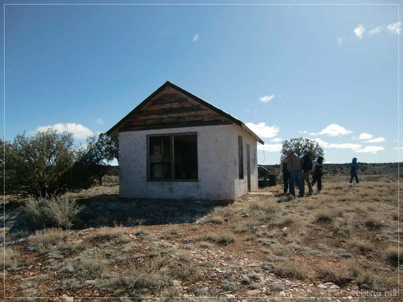
Back on the main trail, we are passing a turnoff (12S33903X 403705X), which one can follow to the right. We used this trail on our way back from Kanab Point.
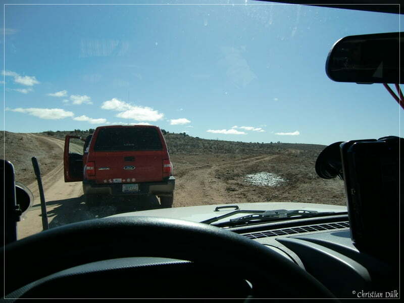
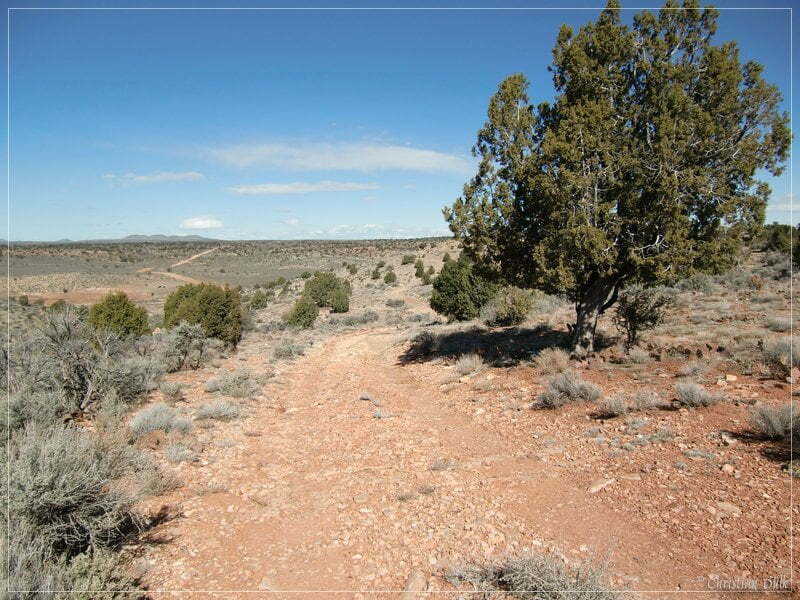
We are continuing straight ahead and at 12S34496X 403694X we used a side trail to the right.
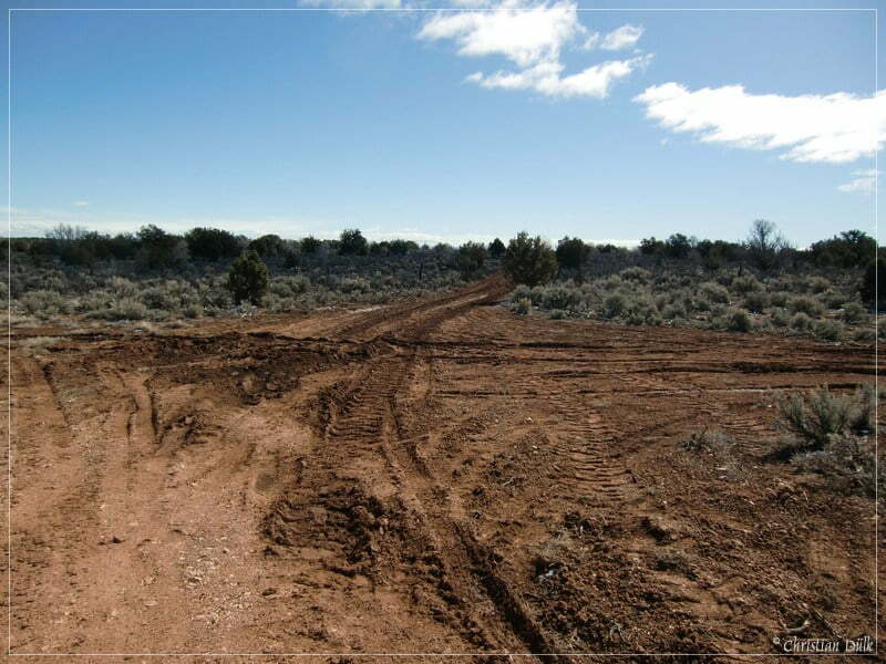
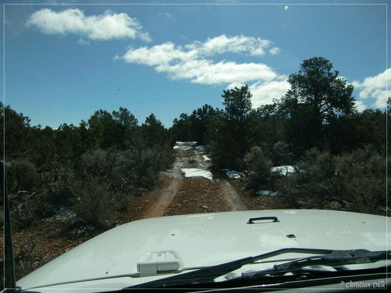
Here it is starting to get sometimes a little bit muddy, but we decided to continue on this trail. Here a view back on the route:
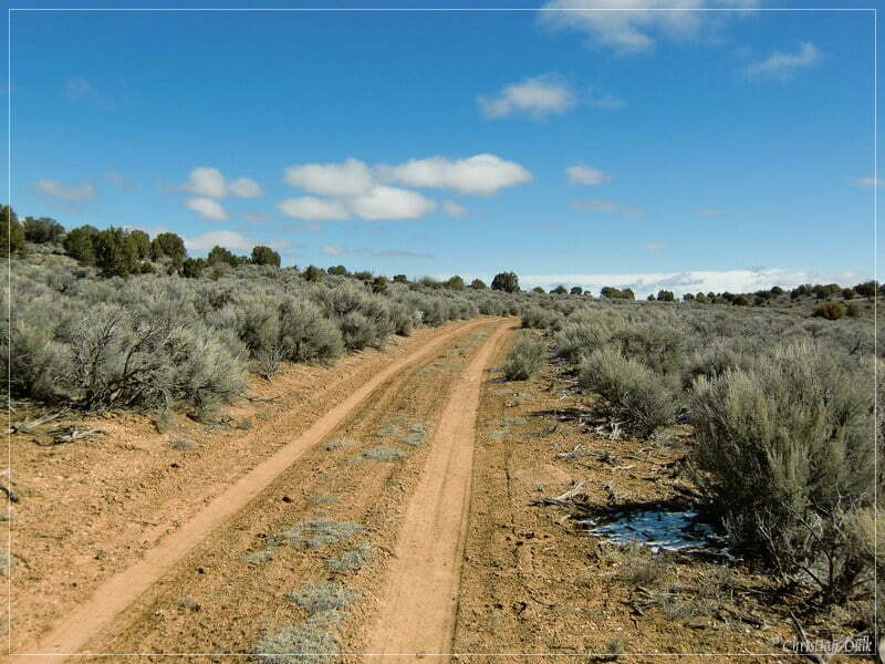
At 12S34413X 403534X we are doing a left turn on to the direct connection to Kanab Point. Here we got sometimes snow and sometimes mud.
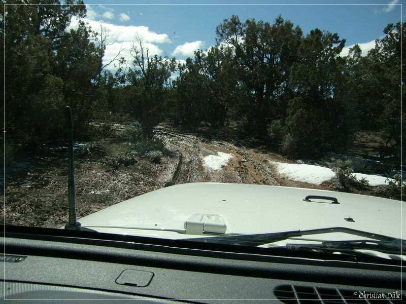
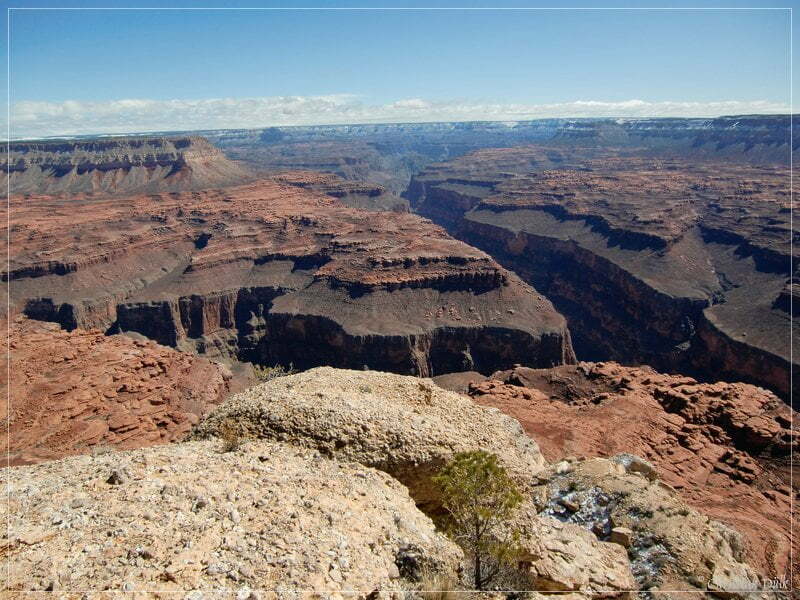
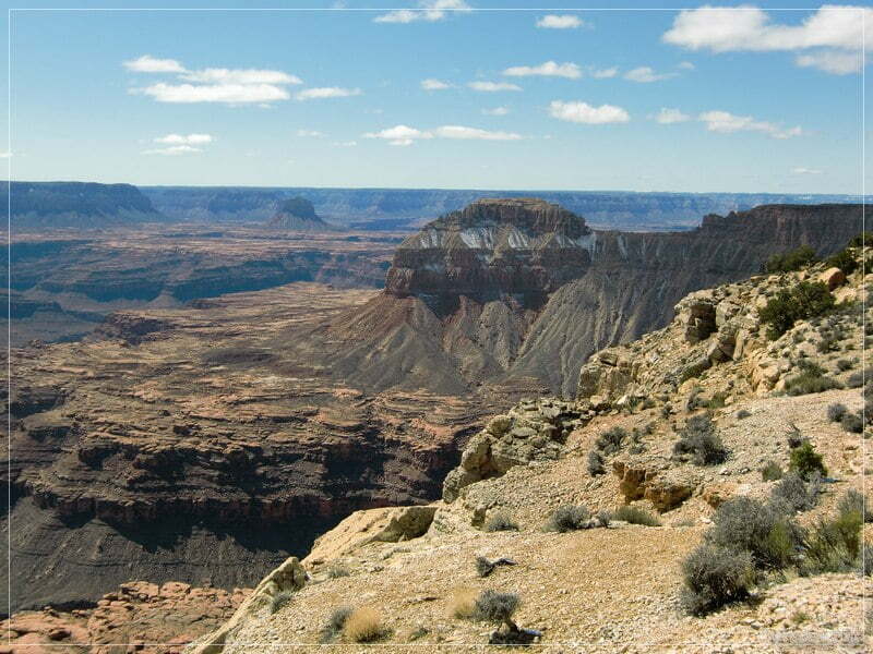
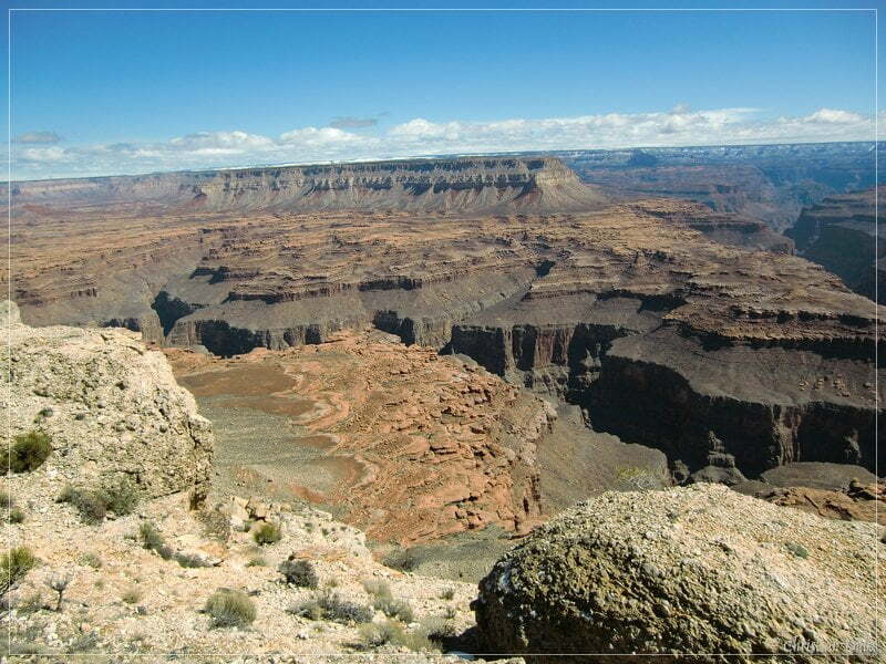
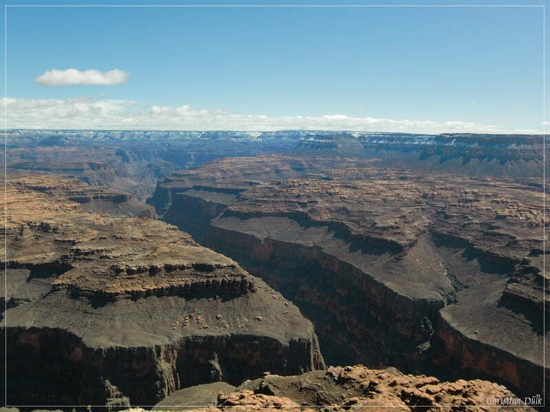
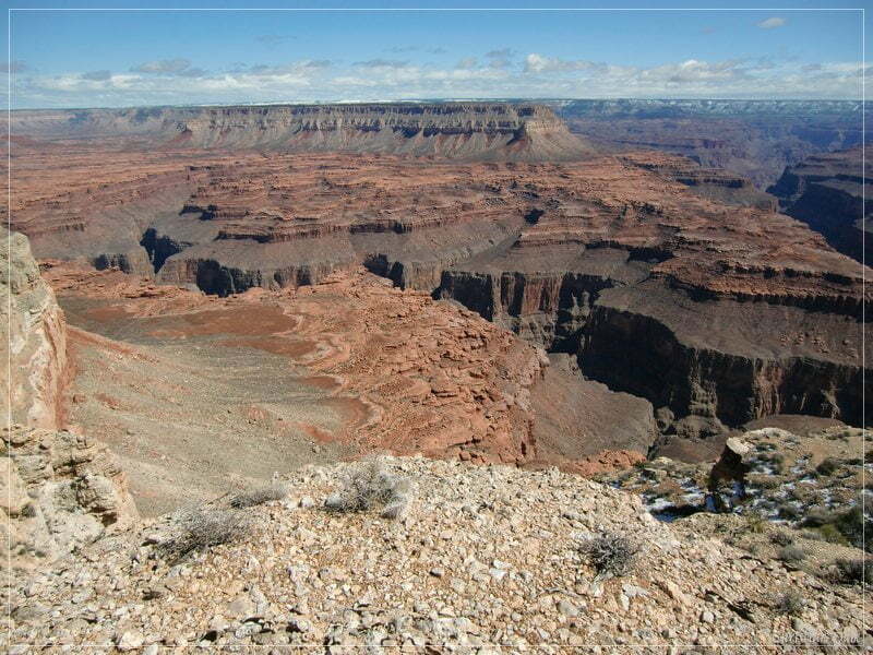
Soon we are getting to the North Rim The good viewpoints are roughly 200 m to the left and to the right. The following pictures should give an impression, what you can enjoy at Kanab Point. Around 17 miles away, you can see the South Rim, which is still covered with snow.
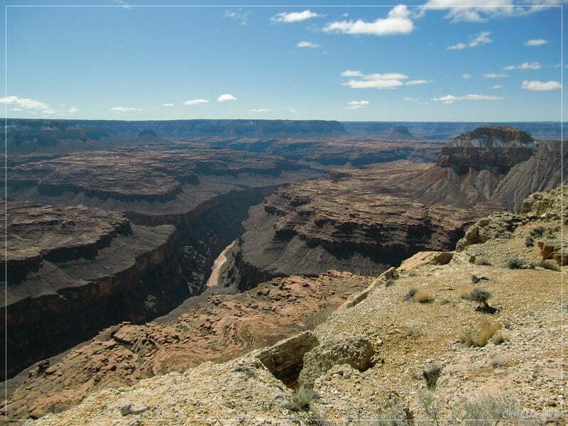
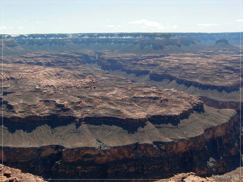
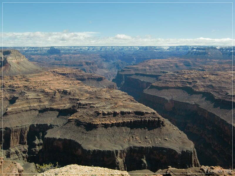
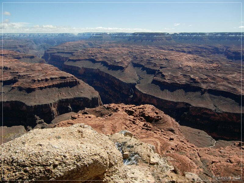
Here a view into Kanab Creek.
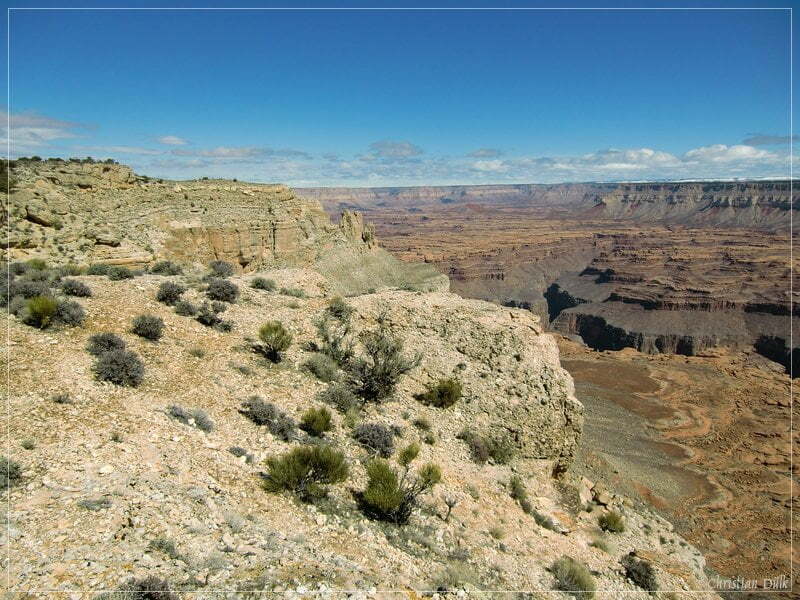
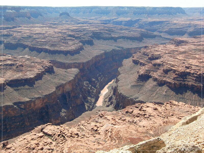
Here meets Kanab Creek Grand Canyon..
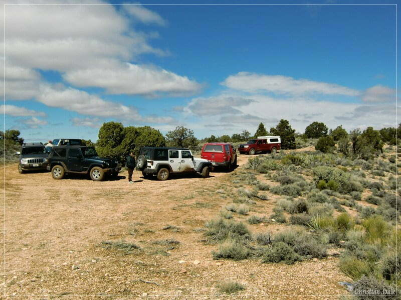
And our wagon corral.
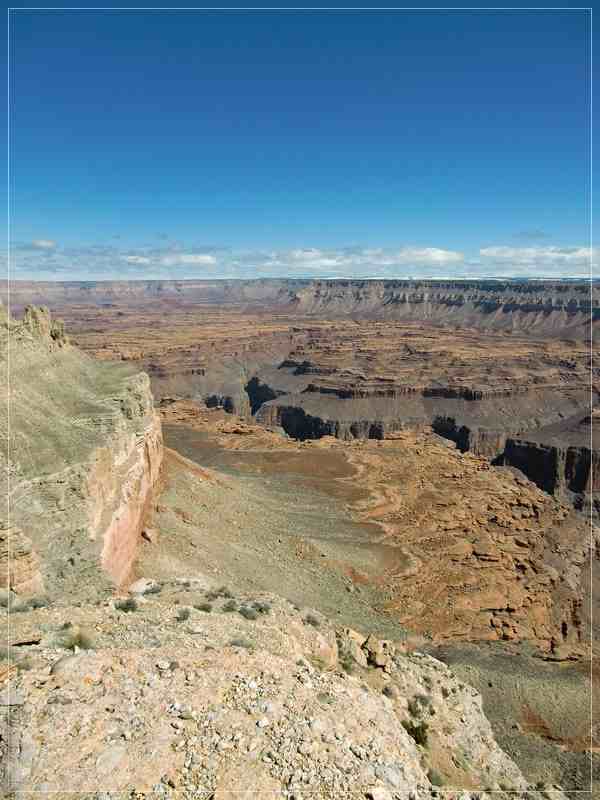
Finally a few more shots, taken from Kanab Point:
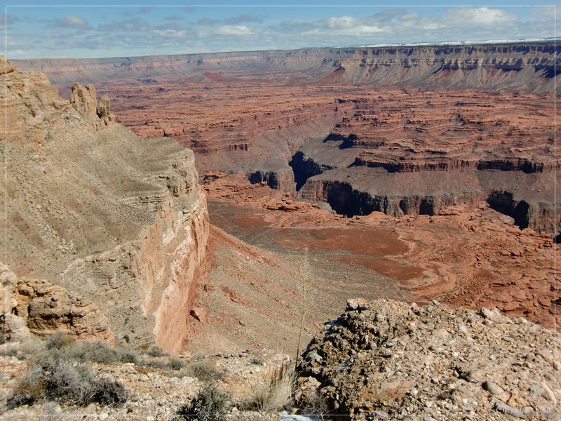
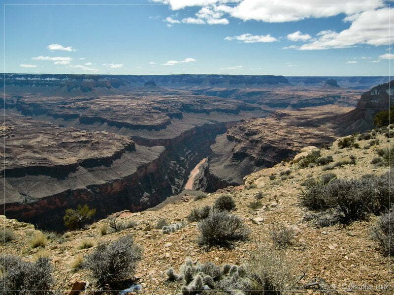
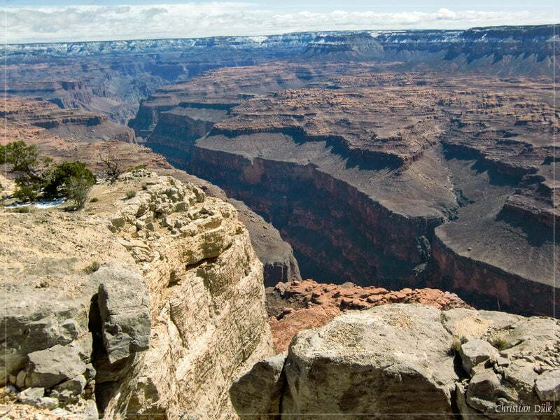
After enjoying this great overlook we headed back to US389 via Mt. Trumbull Road.
This trail is not really difficult in our opinion and when having good weather, a high clearance vehicle should be enough. But this is on your own responsibility. One should also not forget, that this region is really lonely and help is possibly far away, if there are coming up problems. We did not see any further vehicle on the trails near Kanab Point.
For a better orientation, one can download a gpx file of this trip:
Tracklog: Kanab Point, Arizona Strip, AZ (2003 downloads )
And here is an overview of the area, we visited:

