Sometime ago we read in a disscusion group about a route to the Grand Canyon North Rim, which is part of Arizona Strip. Rolf (Hatchcanyon) wrote a report about his trip to this overlook and gave me a lot of information through the DiscoverAmerica Discussion Group.
In 2008 we decided to do this trip. My wife and me wanted to reach the North Rim, starting from St. George, UT.
Before starting, we visited the BLM-Office in St. George, UT, to get the latest trail information. It is a good idea, to buy there the Arizona Strip Map, because there you can get good informaiton about existing or non existing trails in the Strip. It is regularly updated (2008 the 2006 edition was the latest one). The informations, we got about the planned route, were not really promising. The ranger told us, that they got stuck a few days before on the Mt. Trumbull north trail. Due to a lot of heavy rain falls still a few trails should be very muddy.
But we had excellent weather, so we thought, we will give it a try. If we are facing problems, we will turn around and go back to St. George, UT.
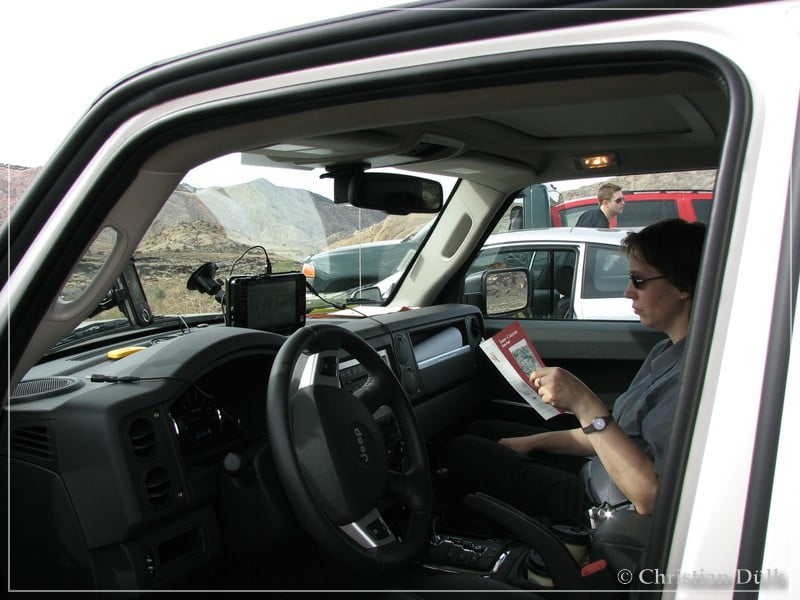
Here you can have a look into our Jeep Commander. We are using a UMPC with Delorme Topo installed on it, as some kind of offroad navigation system. The pleasant lady in the Jeep is my wife Astrid and she supports me as my ´navigation officer’.
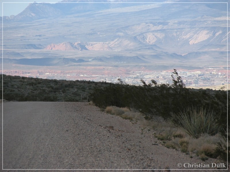
From St. George, UT we are going via River Road in southward direction. We are crossing Virgin River, drive through an industrial complex and follow the soon no more paved route (CR 5). We are gaining in elevation and a view back to St. George offers the following view:
Very often we are passing side trails and the mountains left and right of the gravel road are coming closer and closer. At N36° 48,59XX’, W113° 33,52XX (WGS84) we are passing Segmiller Mountain und Wolf Hole Mountain. There one can find a lot of wonderful 4WD trails.
At N36° 44,85XX’, W113° 32,79XX (WGS84) a side trail to the right joins CR5. It is CR 101. This county road leads towards Jacobs Well and you are able to connect through Lime Kiln Canyon to Mesquite, If you are not turning right from this trail (CR 101) then you are able to reack Whitney Pocket by using Whitney Pass.
At N36° 42,21XX’, W113° 28,31XX (WGS84) we are entering Main Street Valley, which mainly goes to the south. At N36° 41,40XX’, W113° 27,52XX (WGS84) you can see to the left the turn onto CR 30 (Navajo Trail Road). This trail could be used to connect to Colorado City.
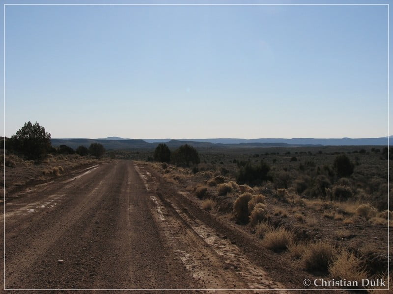
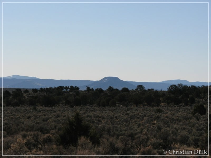
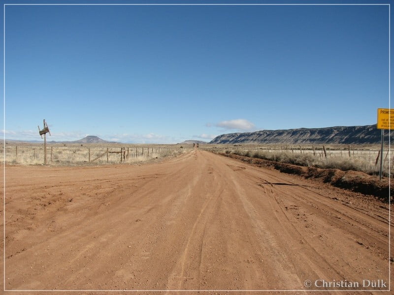
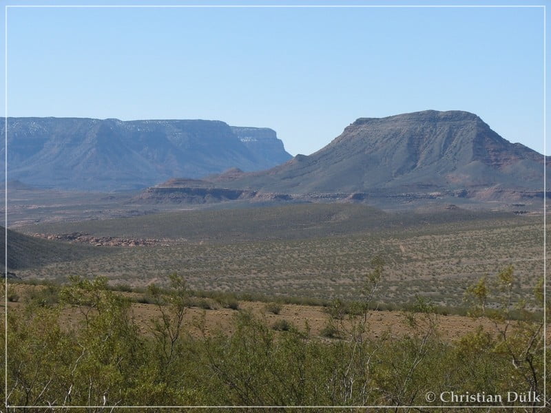
But we are straight going down Main Street Valley. Sometimes there are deep ruts, which showed, that there was some rain coming down in this region. The following two pictures show the region, we were driving through:
Soon we were arriving at Mt. Trumbull Schoolhouse (ca. N36° 24,71XX’, W113° 19,51XX (WGS84)). As we left our Jeep, we faced a strong wind, which was really cold, even when the sun was shinning.
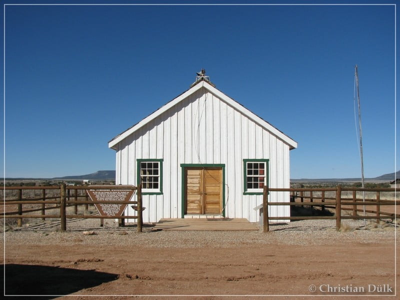
The view back shows the wide gravel road, which leads down from St. George, UT, via Main Street Valley
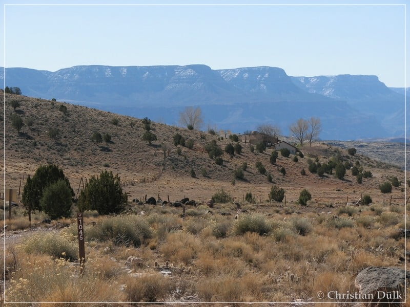
>Here CR5 is turning to the left towards Mt. Trumbull. This trail connects to the road, which goes down toToroweap Points. But we are following the straight going trail, which got worse compared to the one, coming down from St. George, UT. This trail brings one to Whitmore Wash. It is BLM 1045, which connects down to Whitmore Canyon. There is a minor downhill section, with partly loose stone, but it was not really a problem to go down there.
Soon we reach the canyon bottom and arrived at the turnoff to Hells Hollow. The Hells Hollow trail crosses the Mount Logan wilderness and connects also to the Tuweep area. But this is really a hardcore trail and nothing for vehicles like the Commander, we had. In the background we could see Bar10 Ranch. There is also a landing strip (Whitmore International Airport). Bar10 Ranch should have business nowadays the complete year, as far as we heard. They have lodging possibilities and one can have organised trips into the vicinity.
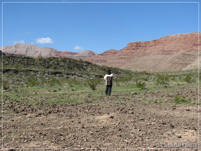
Here also a view into the surrounding:
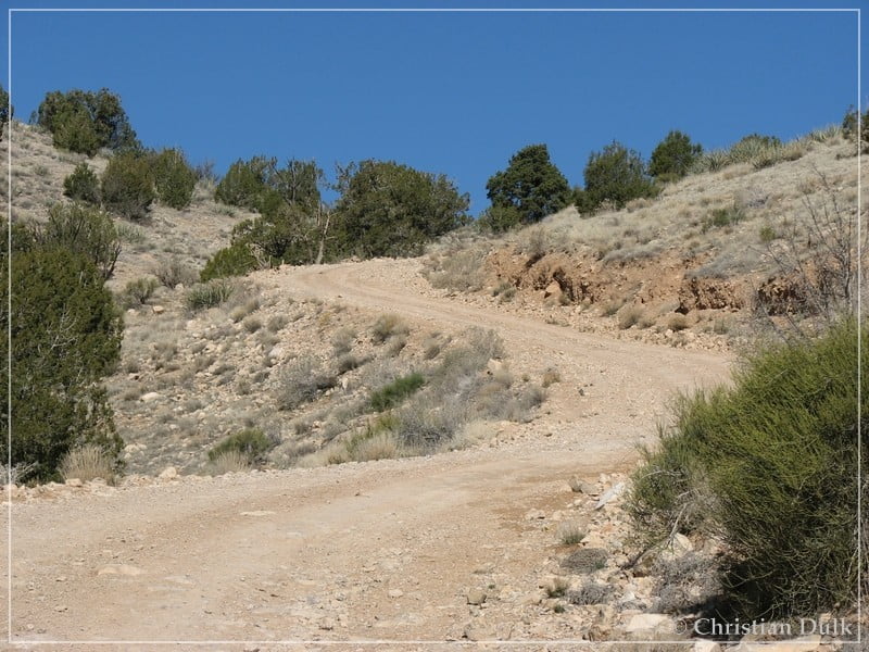
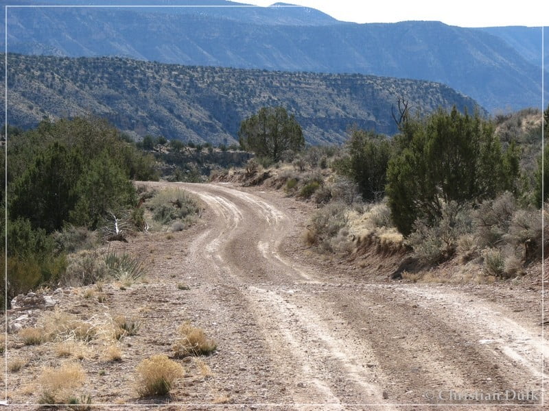
We are following the trail and pass Bar 10 Ranch. On the ground one now also see some lava concrements. The trail starts to get slightly rocky. We are continuing on this trail for a few miles, before we see the parking spot at the North Rim downhill. The rocky trail connects to this parking area. The following two pictures we have taken on our way back::
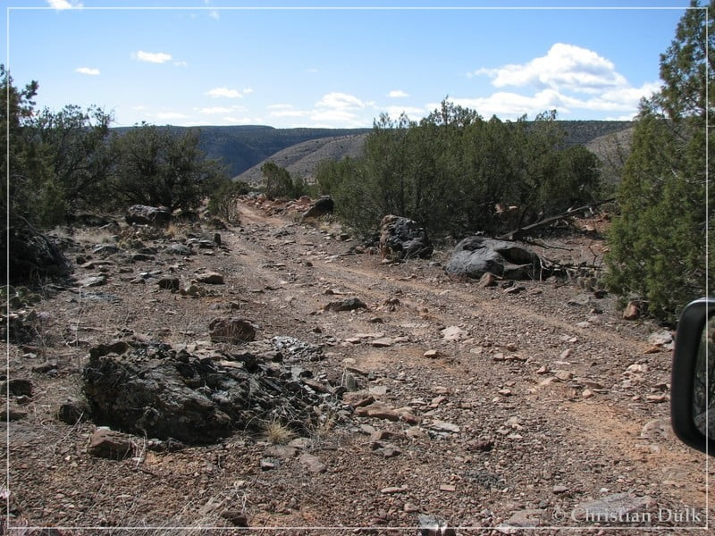
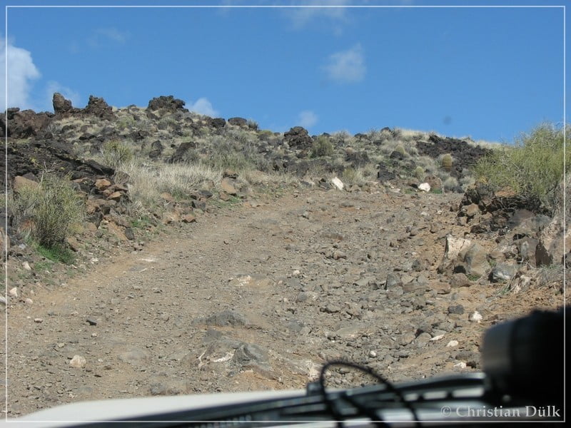
On this trail is a possible danger of getting some tire damage, because the rocks are sometimes sharp-edged. For climbing up, I would suggest to have 4WD.
Soon we are arriving at the parking area and one more vehicle is there.
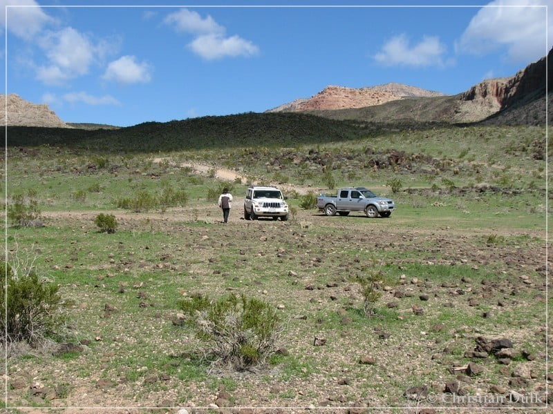
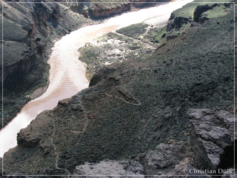
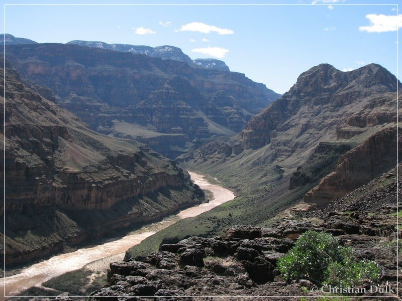
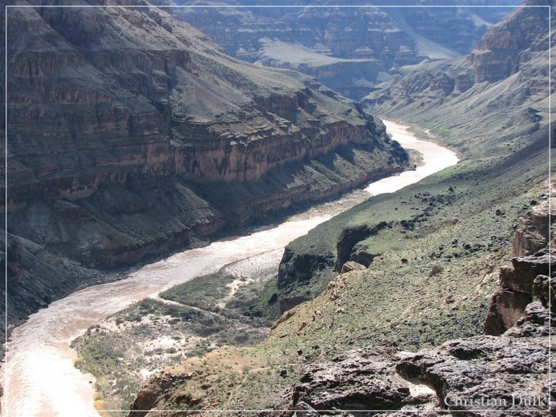
After a few steps you are directly at the North Rim of the Grand Canyon and you have a good view on the Colorado River. The following picture also shows a hiking path, which leads down to the river banks.
When looking around, you will have a lot of wonderful views.
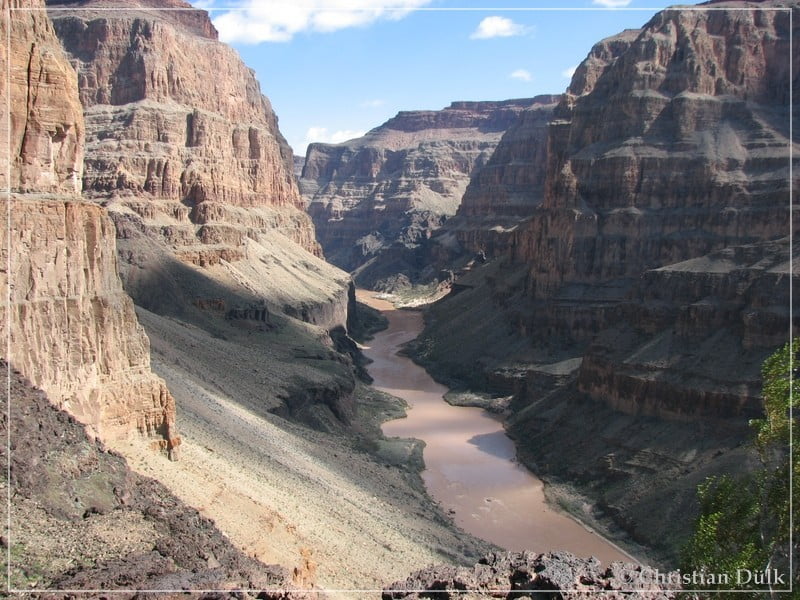
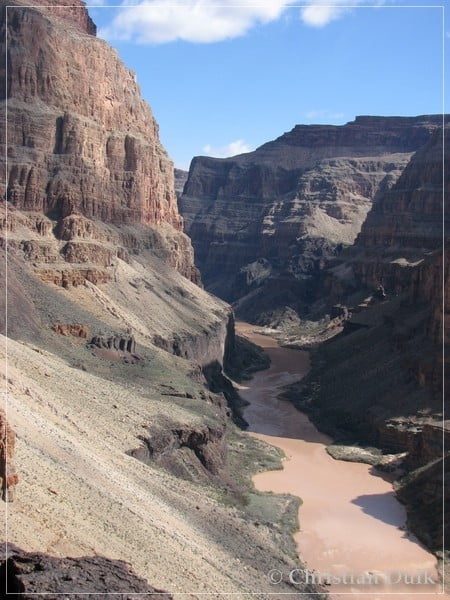
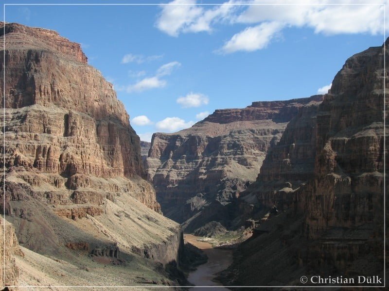
Here again a view on the vicinity:
On the way back, we planned to use the ´Hells Hollow route towards Tuweep. We made roughly 1,5 miles on this trail and decided then to turn around. Our average speed was between 1 and 2 miles/hour. We heard later from friends, that this trail is only for well equiped SUV´s and not for this highway type of Jeep´s, like we had.
Everybody, who wants to do this trail should be aware of the loneliness of the Arizona Strip. We just see one more vehicle on our way to Mt. Trumbull Schoolhouse. One should have enough food and water and should also to be able to solve problems with his vehicles, because help might be far away.
For a better orientation, one can download a gpx file of this trip:
Tracklog: Whitmore Canyon, Arizona Strip, AZ (1411 downloads )
And here is an overview of the area, we visited:


