As part of our trip into the Arizona Strip in september 2011, where we also have been at Kelly Point and Grand Gulch Mine, we also made a run through Hidden Canyon and Last Chance Canyon. We started from our camp at Poverty Mountain, went up towards the north on CR103 and soon we reached the turnoff to Hidden Canyon at12S 26854X 403212X (UTM/NAD27). At the turnoff is also a geocache hidden.
On a smooth gravelroad we continued on our way through Hidden Canyon.
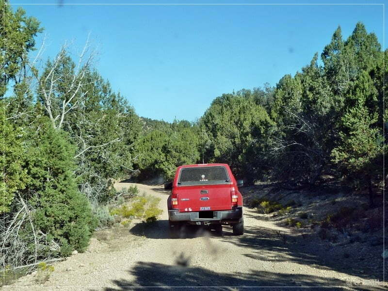
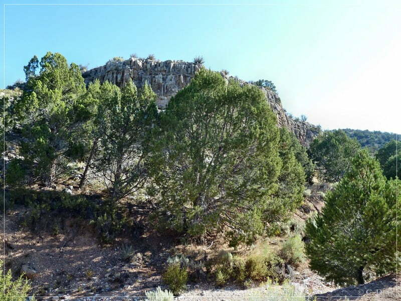
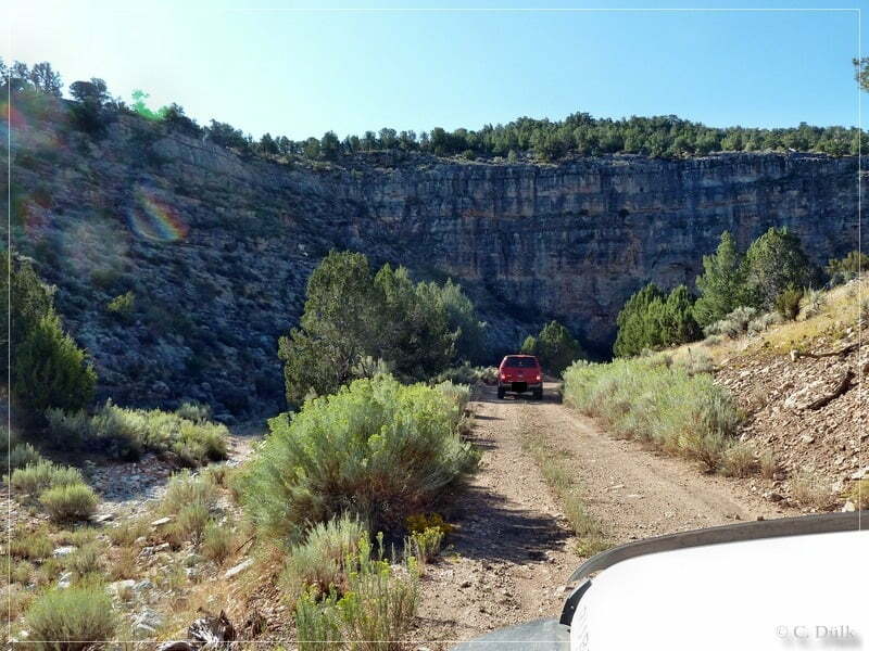
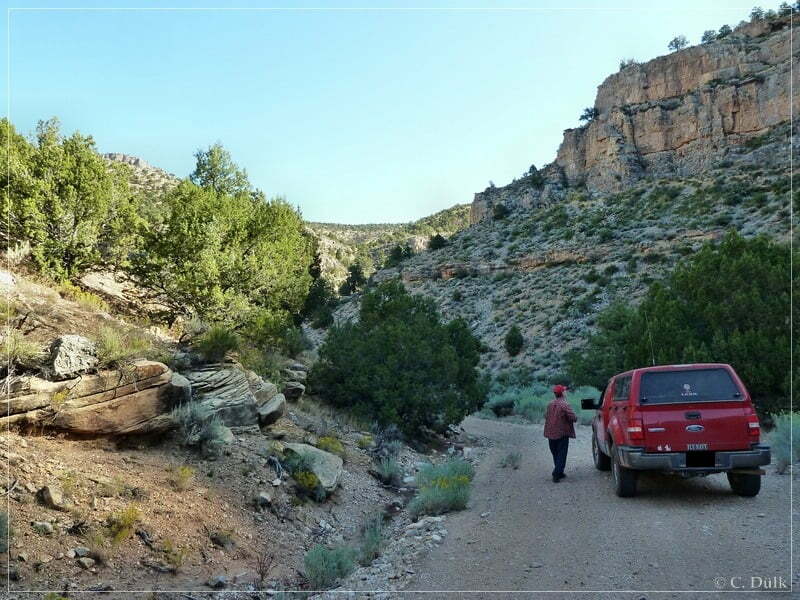
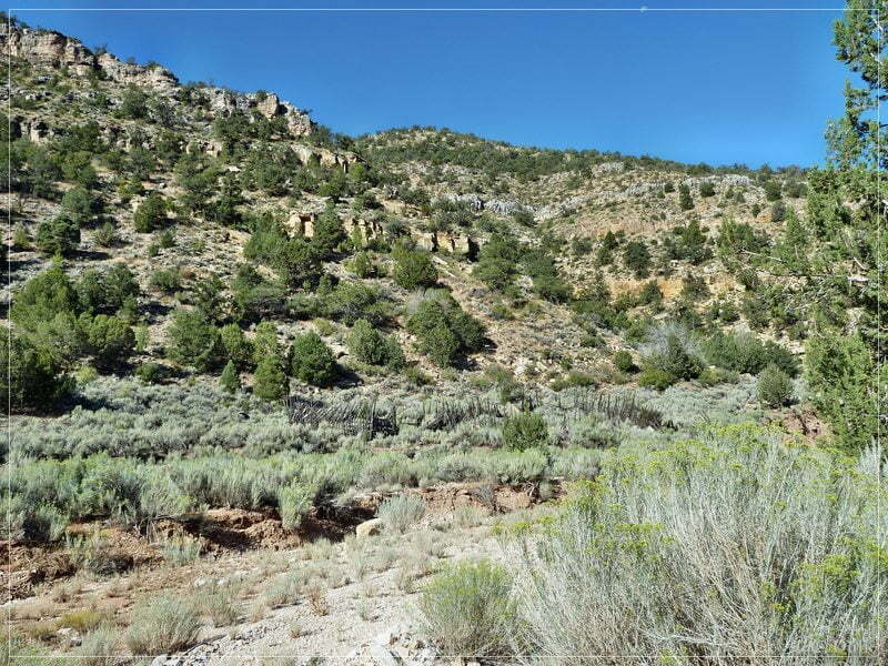
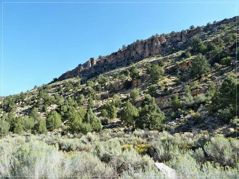
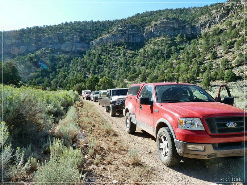
After some time we reached the old remnants of a substantial rock house, which is rumoured to be one of Butch Cassidys hideouts.
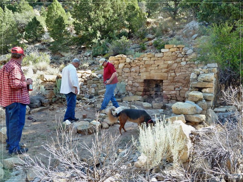
After this short visit we continued on our way:
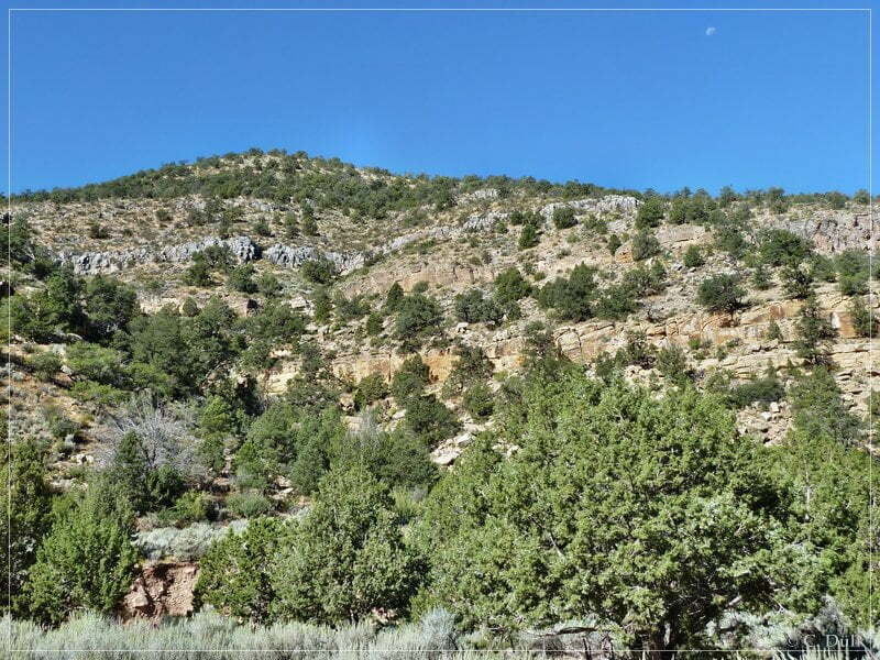
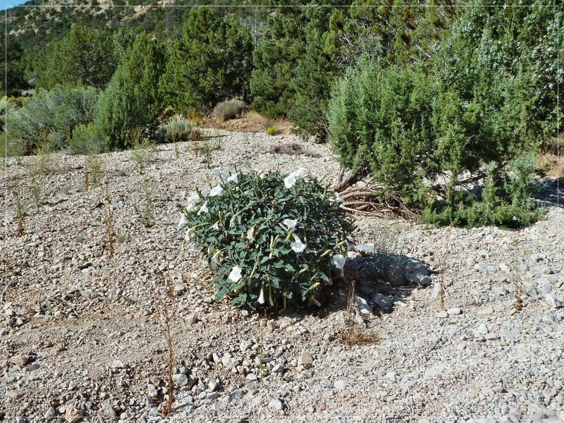
The canyon gets also wider:
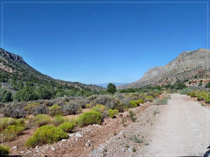
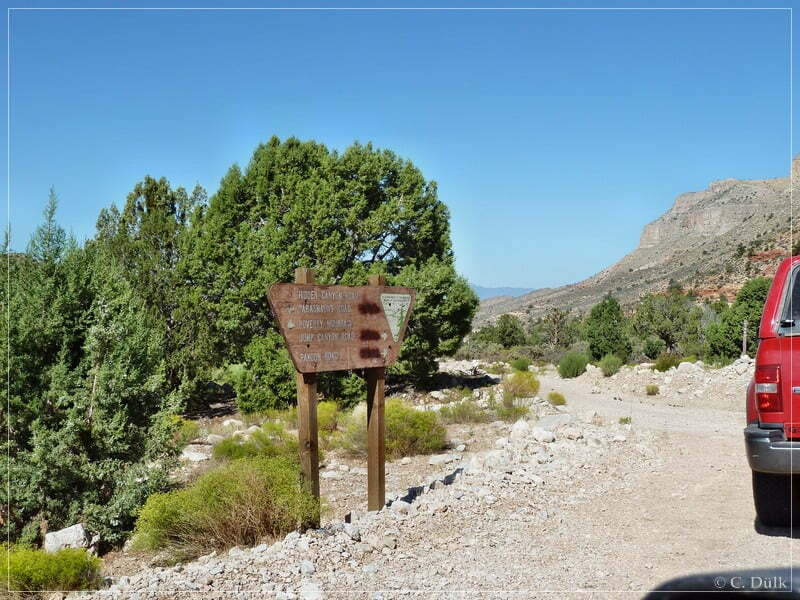
At 12S 25873X 404474X) and shortly before the left turn to Last Chance Canyon, we reached the Hidden Mines, which are located along the hillside:
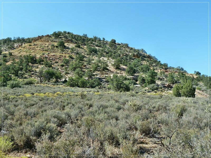
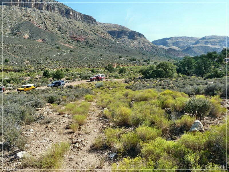
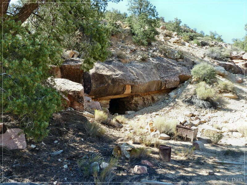
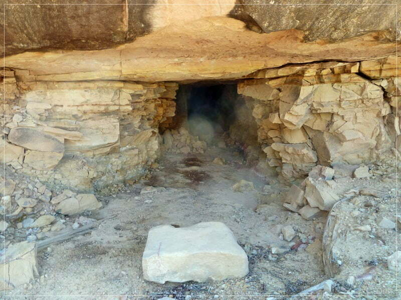
Here some impressions, when looking down from the mining site:
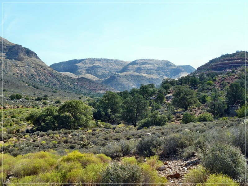
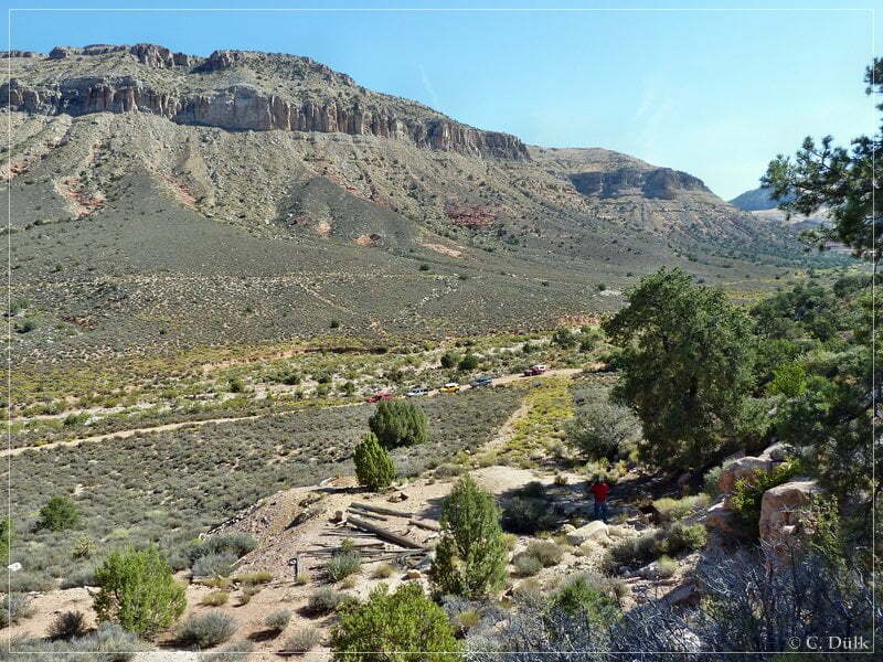
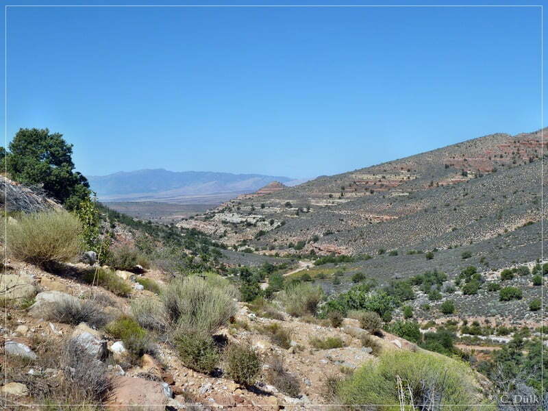
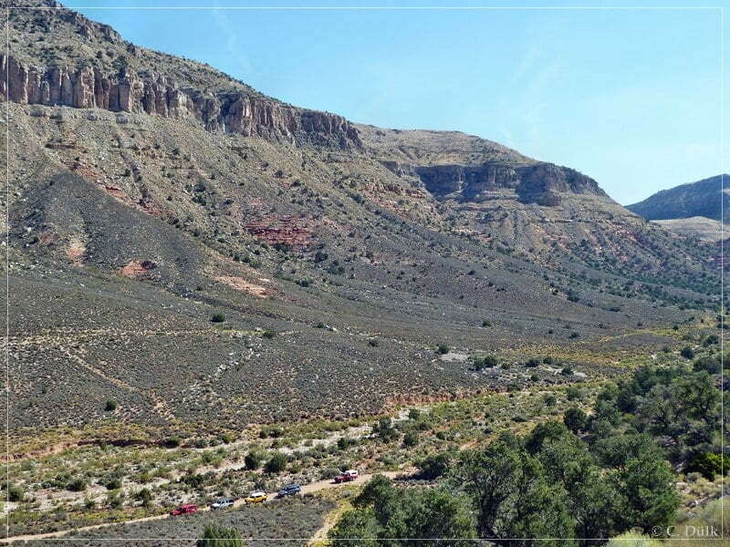
Shortly after the Hidden Mines we turned left towards Last Chance Canyon (12S 25834X 404486X):
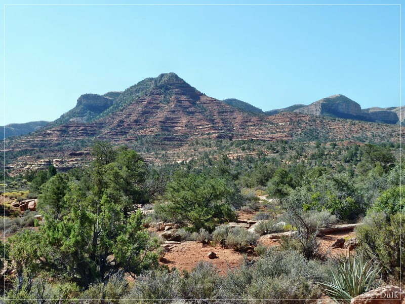
The entrance is marked by some hoodoos:
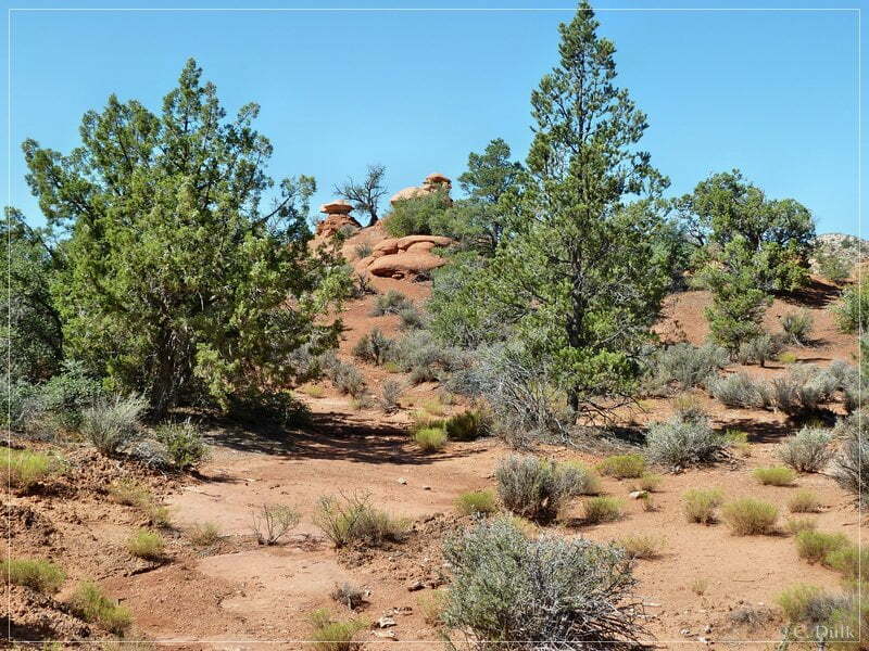
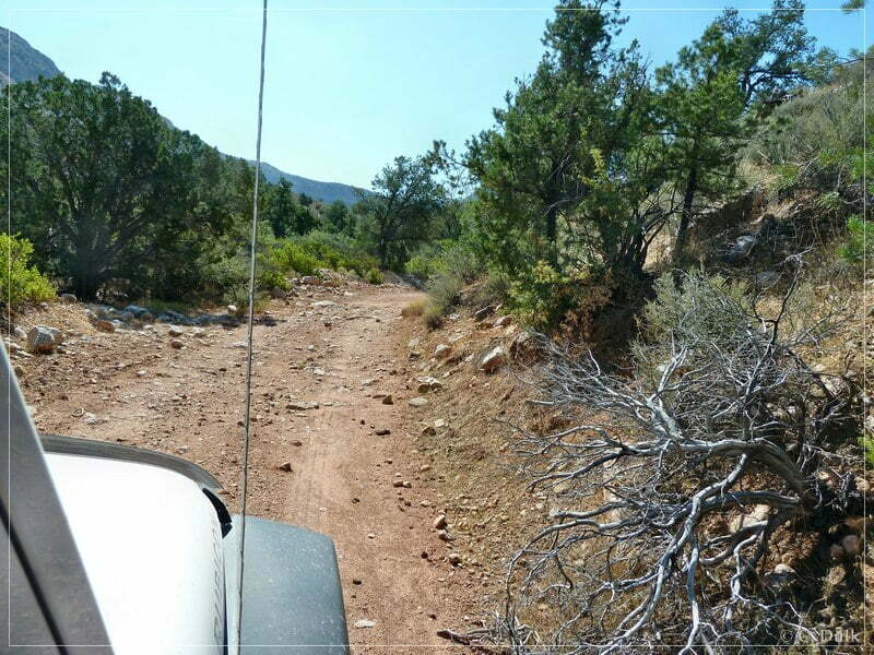
The trail gets slightly rougher, but is still easy to follow::
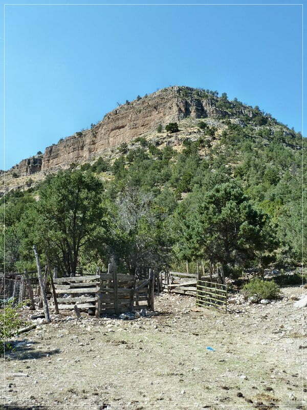
On the way up Last Chance Canyon we arrived at an old corral:
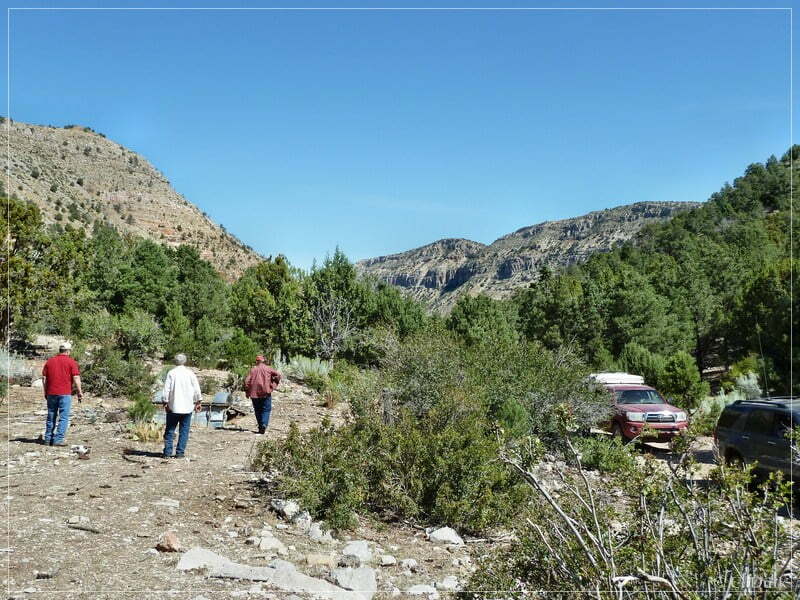
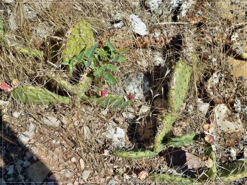
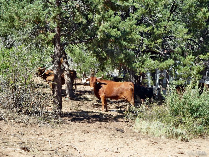
After a short stop there, we continued to drive up the canyon towards Hidden Canyon Rim:
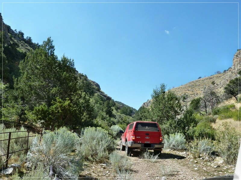
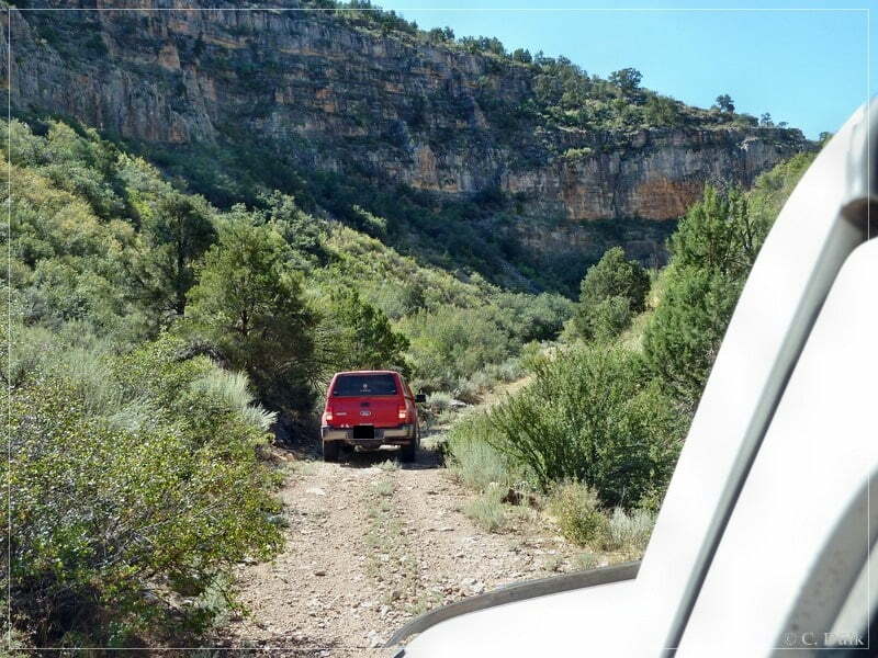
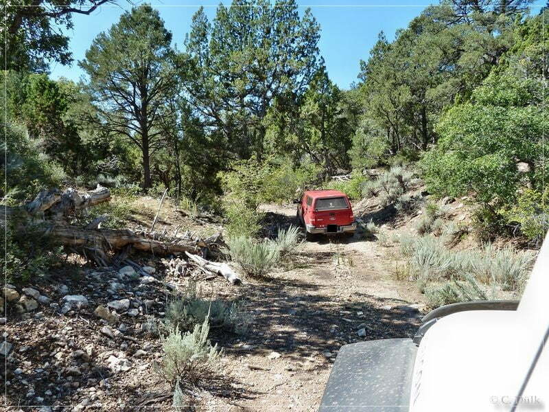
Further up is a water tank:
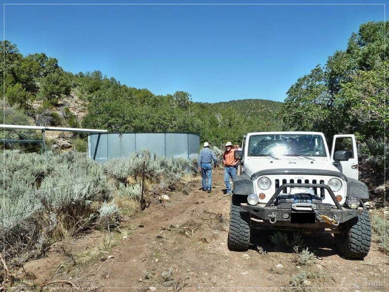
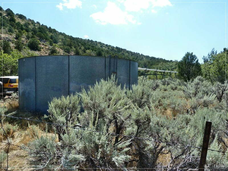
Then we continued to climb up the canyon. Sometimes we had to stop to remove some tree kind of things:
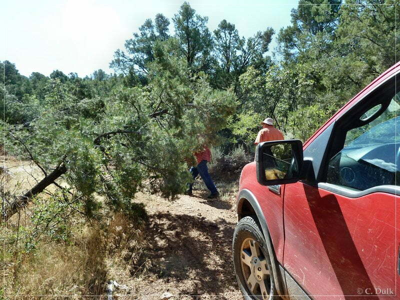
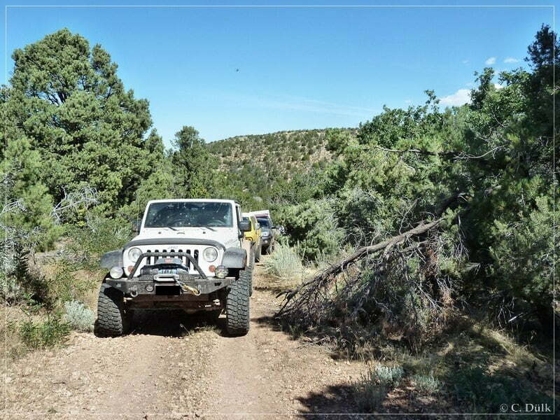
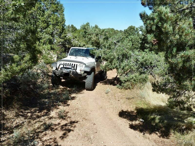
Around noon we were up in the rim region. Here the trail turns again into a very nice gravel road.
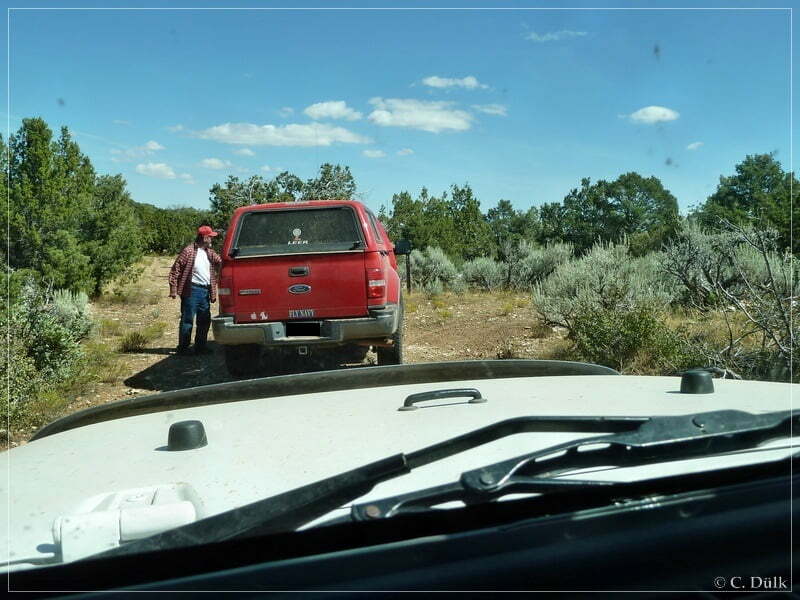
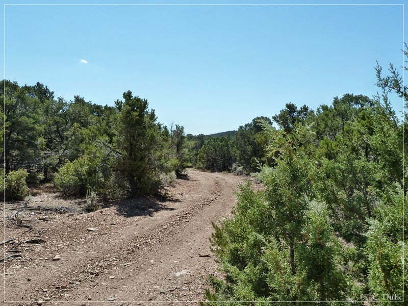
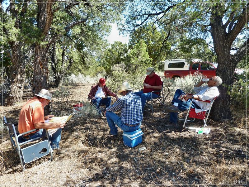
We had our lunch break there:
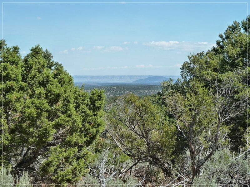
From this high region one can have beautiful views into the vicinity:
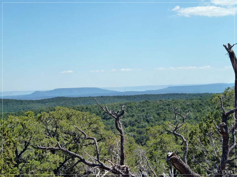
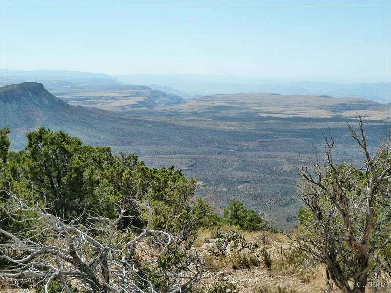
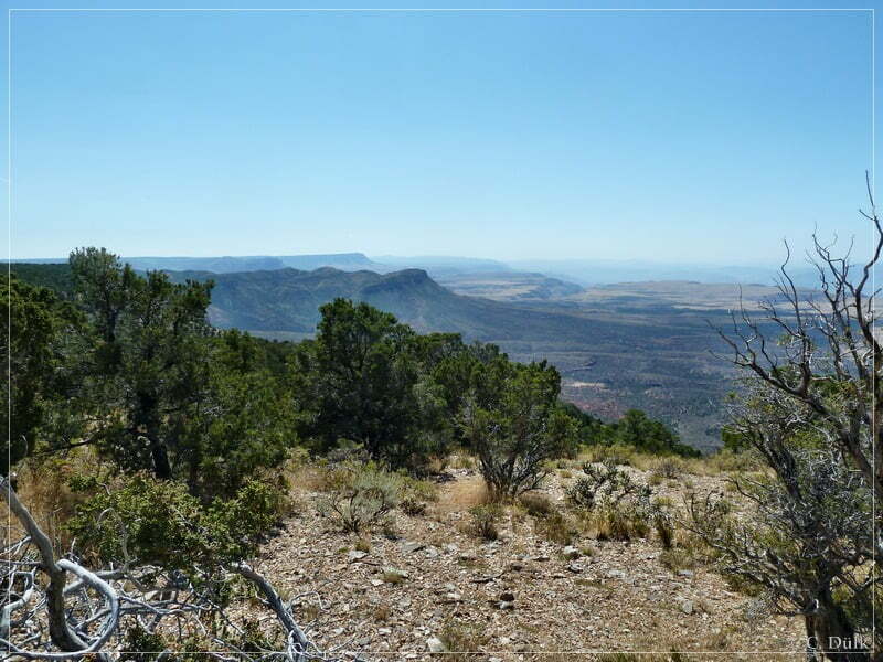
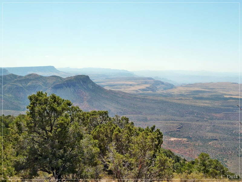
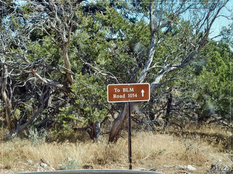
After our lunch break we headed back to our camp via BLM1054 and CR103:
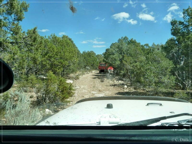
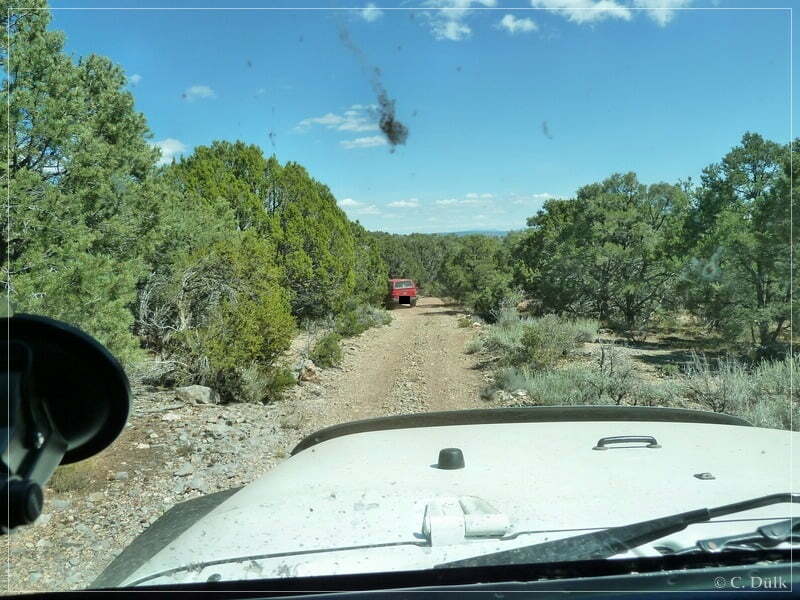
This was a very nice round trip with an estimated length of 60 km, which leads to regions, one would not see every day.
For a better orientation, one can downlload a gpx file of this trip:
Tracklog: Hidden Canyon and Hidden Canyon Rim, Arizona Strip, AZ (1119 downloads )
And here is an overview of the area, we visited:


