As a part of our one week trip into the Arizona Strip a 2-day ride to Kelly Point was planned. Today we want to go. From our Poverty Mountain Camp we started towards south. The colleagues told me a lot of stories about this trip and how strenuous the drive would be. One colleague also told me, that Dan, our trip leader, will tell us after this trip, that he will never go again to Kelly Point. We will see, whether this was true. After packing our stuff into the vehicles, we left our base camp.
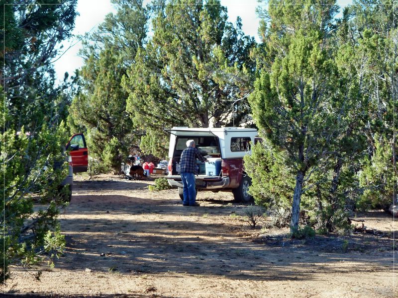
A 56 mile trip was waiting for us. We went south on CR103:.
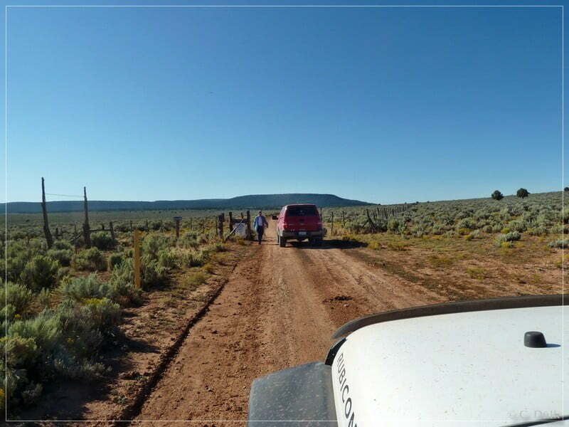
At 12S 26692X 400460X (UTM/DNAD27) we arrived at the turn off to Oak Groove, an old settlement. We stopped by, before heading further towards Kelly Point. The road to Oak Grove also continues to Twin Point.
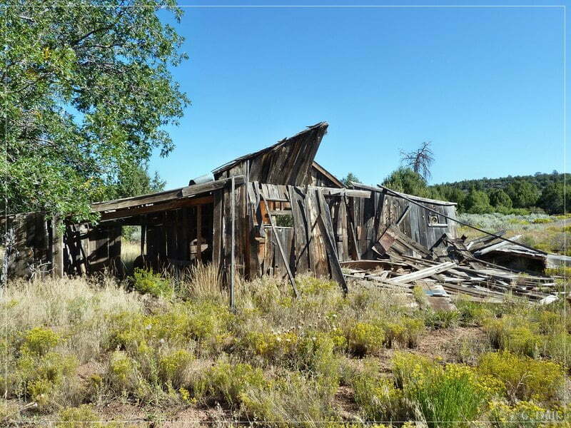
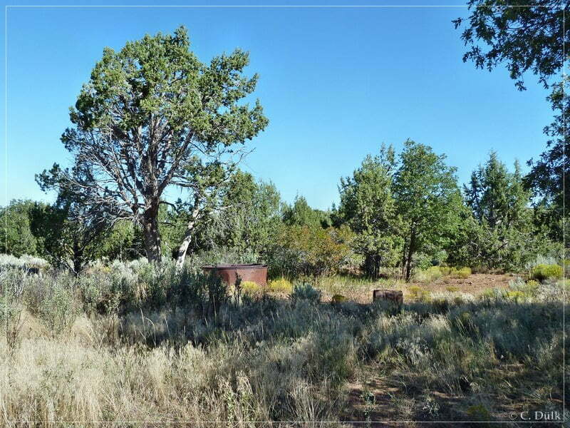
We went back on the trail we used to go to Oak Groove and at 12S 26692X 400460X we turned right. On an easy trail we drove towards Waring Ranch.
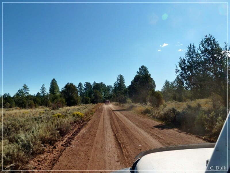
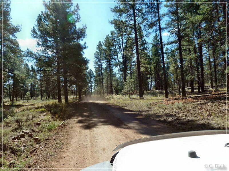
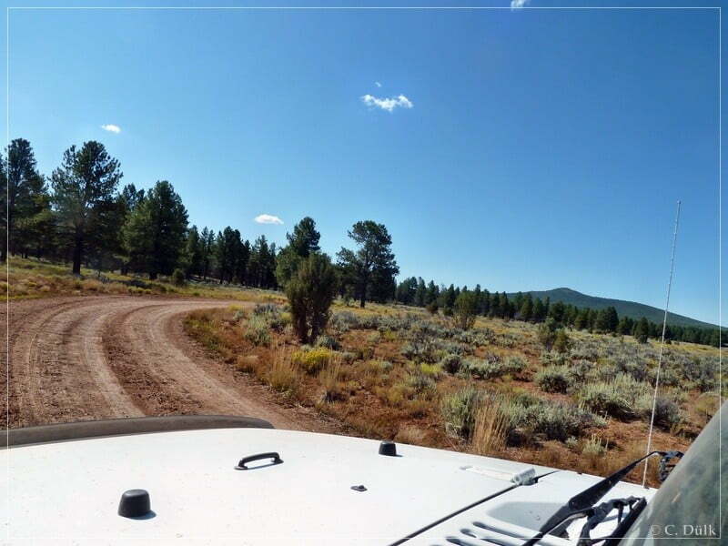
The BLM road number here is 1203:
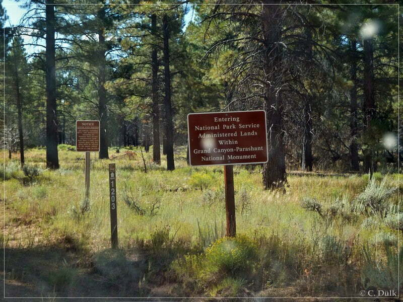
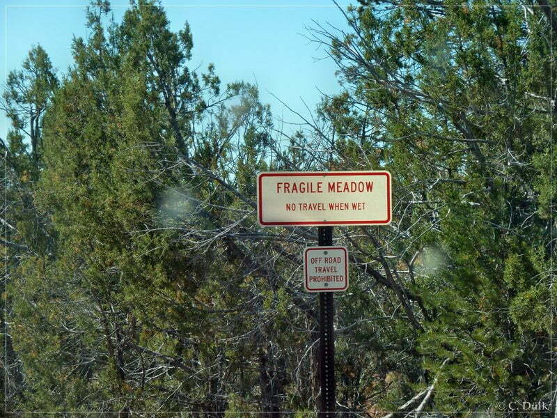
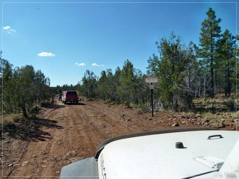
We are arriving at a fragile meadow, which was in earlier times often a ‘stopper’ for people, who wanted to go down to Kelly Point. Today, it seems, there is a re-routing. At least at the time we drove through, there was no problem at all.
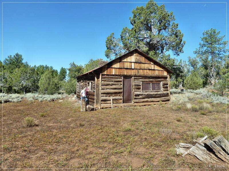
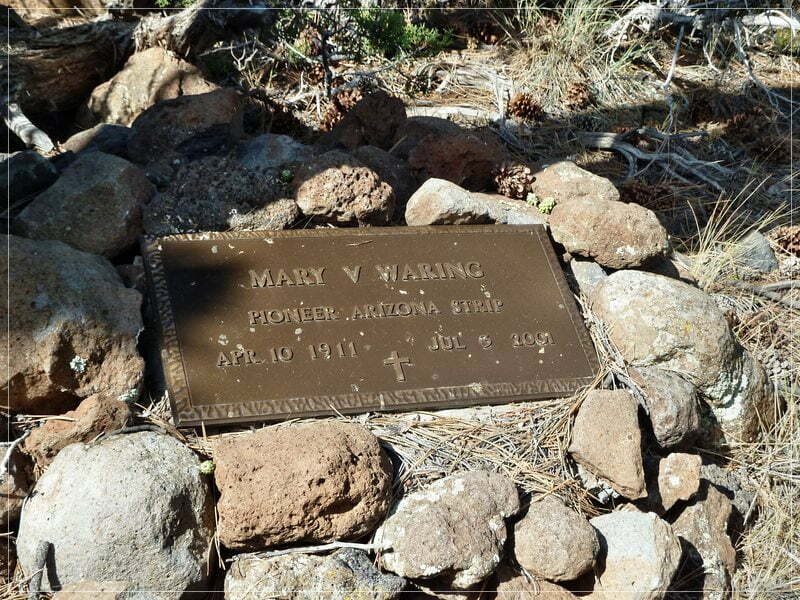
Soon we arrived at Waring Ranch, which is in excellent shape. There is also a log book, where people should make an entry, when going towards Kelly Point.
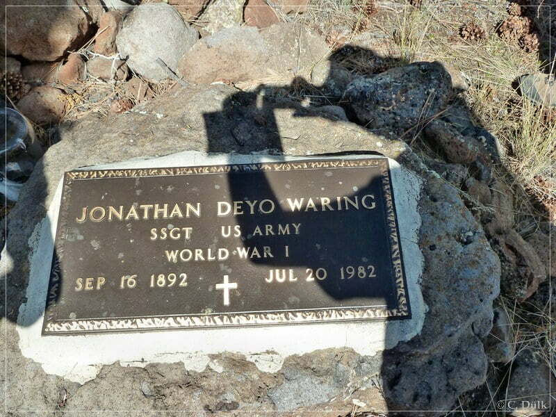
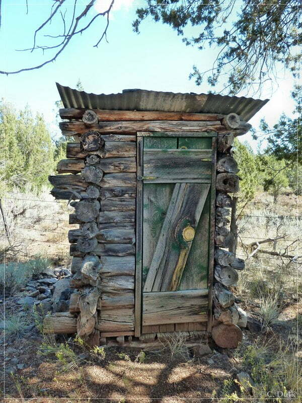
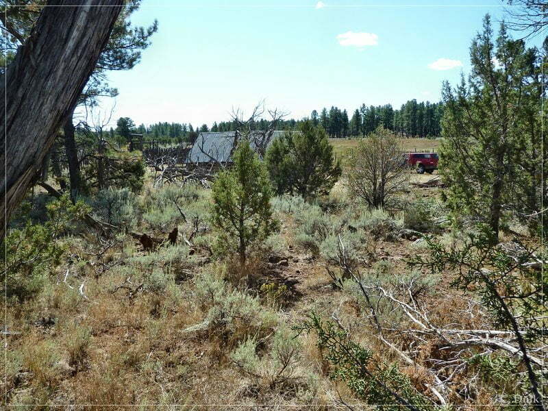
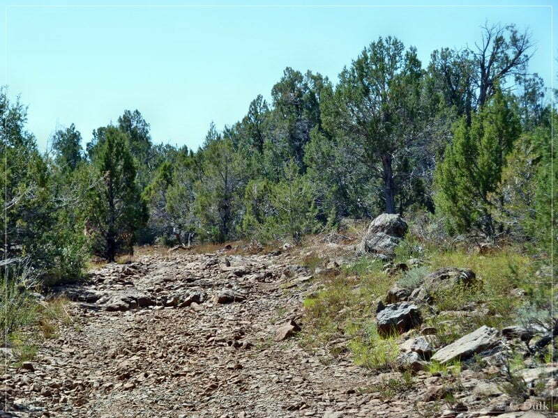
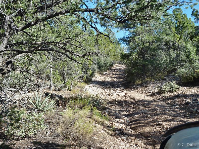
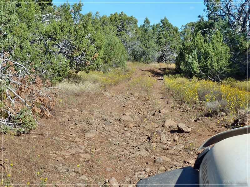
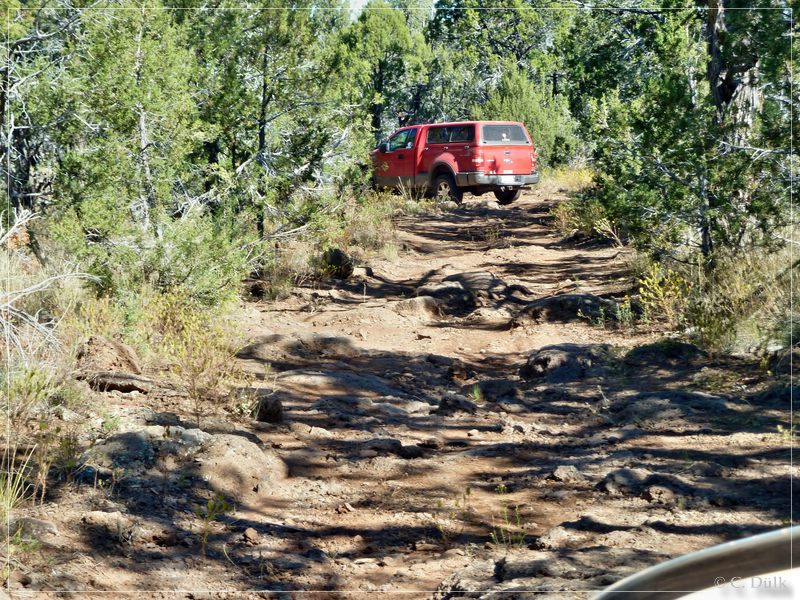
From Waring Ranch, the trails get´s a little bit more rocky.
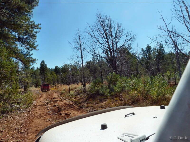
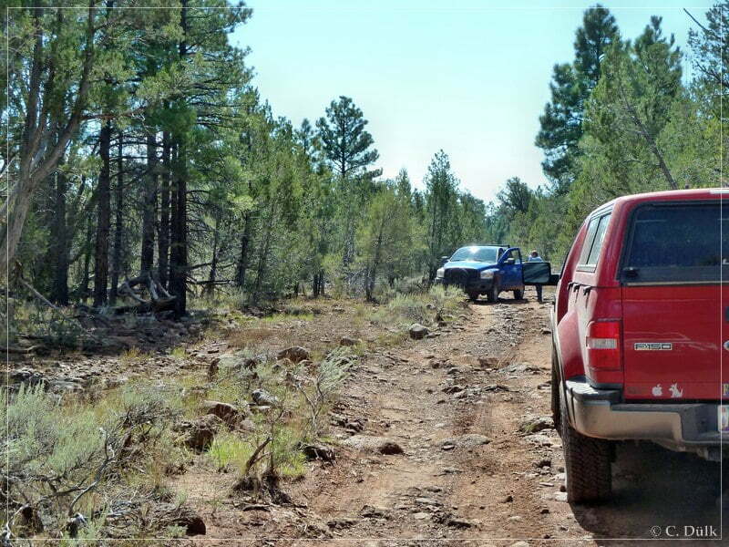
We met a biologist from the NPS, who is/was working in this area. He told us, that he did not see so much SUV´s on this trail since he is working here. Mostly, he told us, ATV´s are going down here.
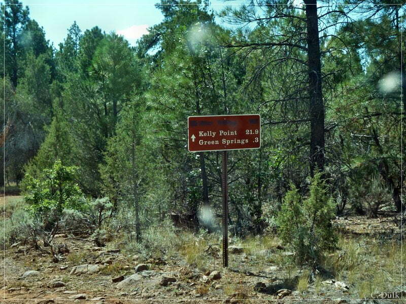
This was at the turn off to ‘Green Springs’. From here it is 22 more miles to Kelly Point.
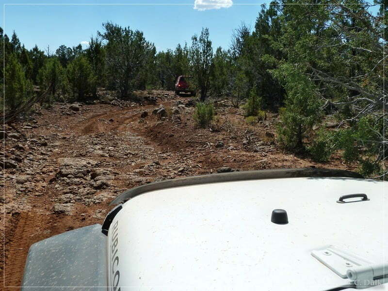
We continued and had to cross a wash. This is most likely the most difficult part of this trail:
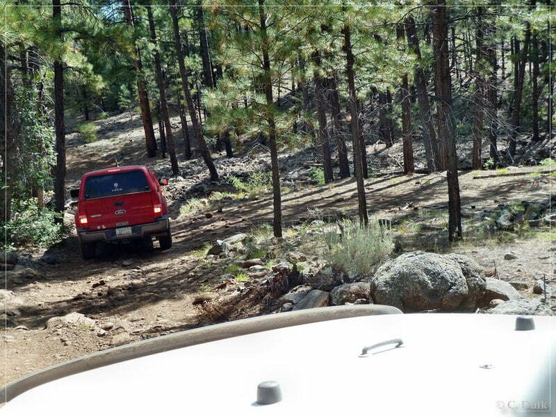
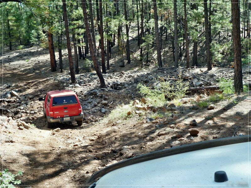
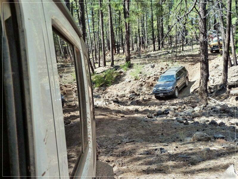
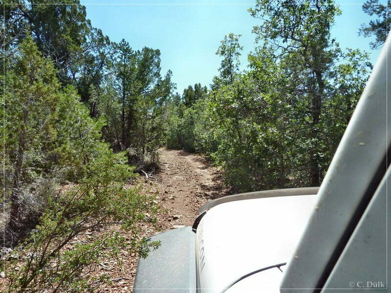
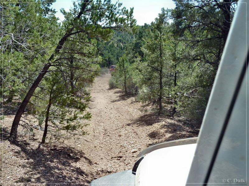
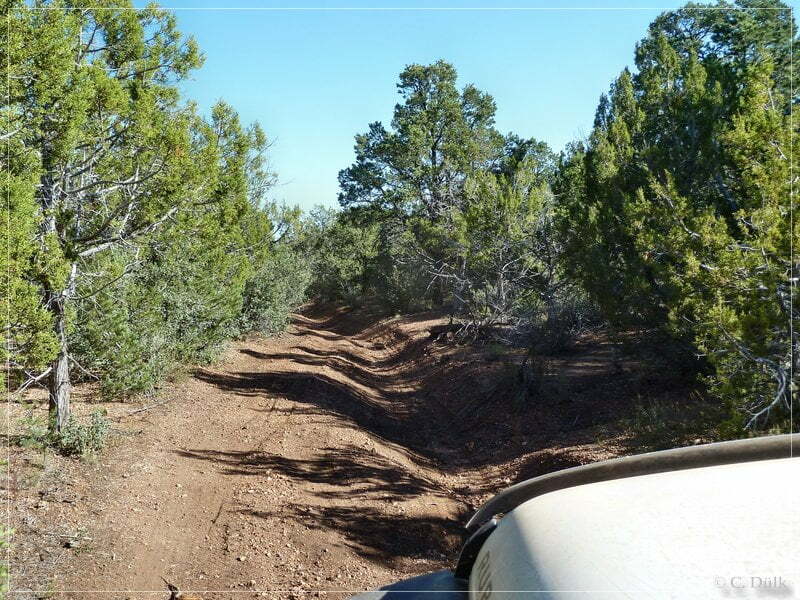
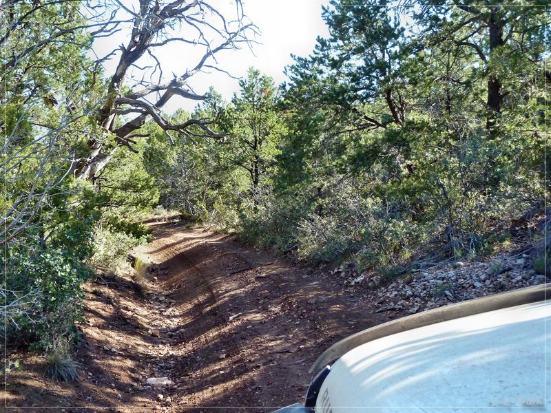
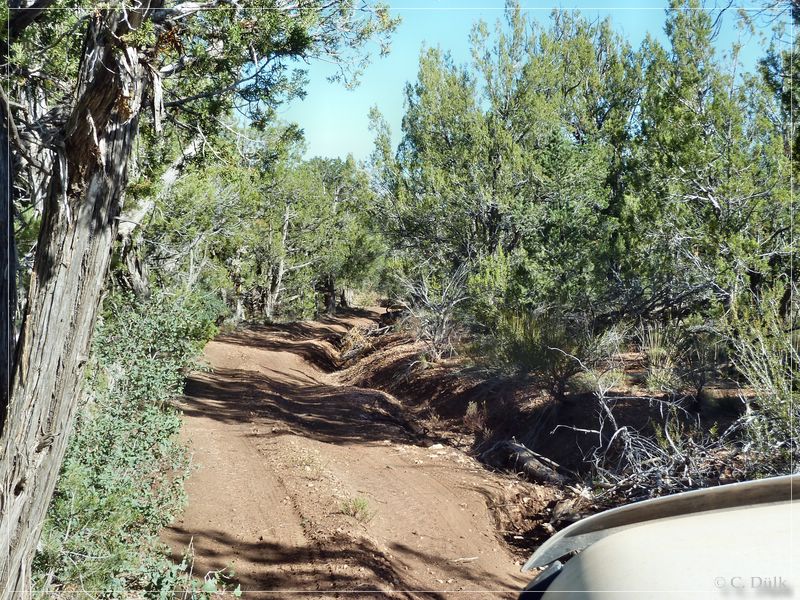
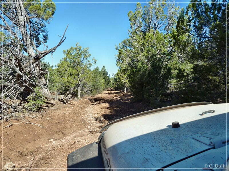
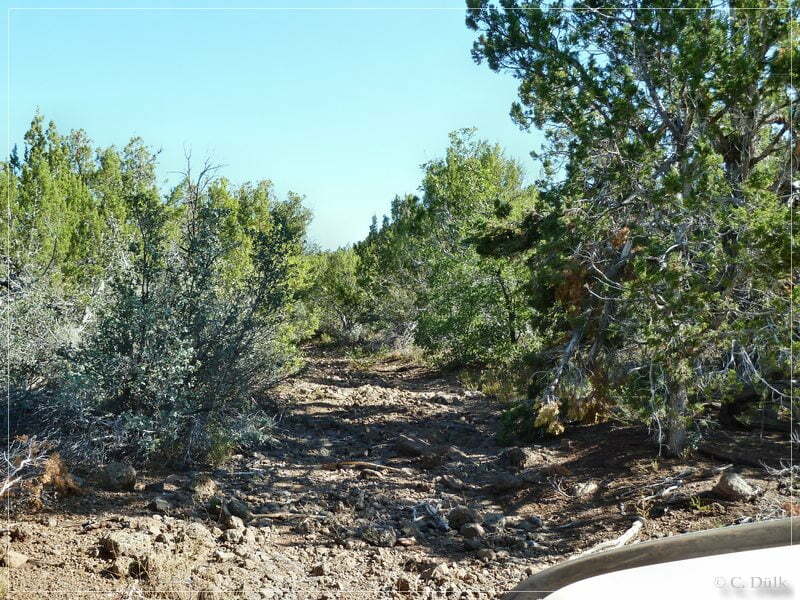
Rocky stretches are alternating with soft and sandy sections on this trail. Sometimes the trail get´s very narrow and the tree branches were scratching the paint. It is also not a bad idea to have a saw in the car.
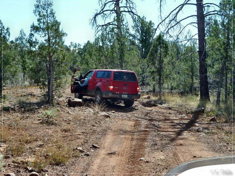
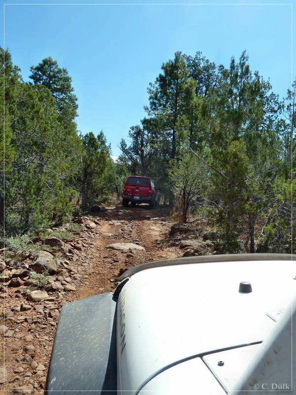
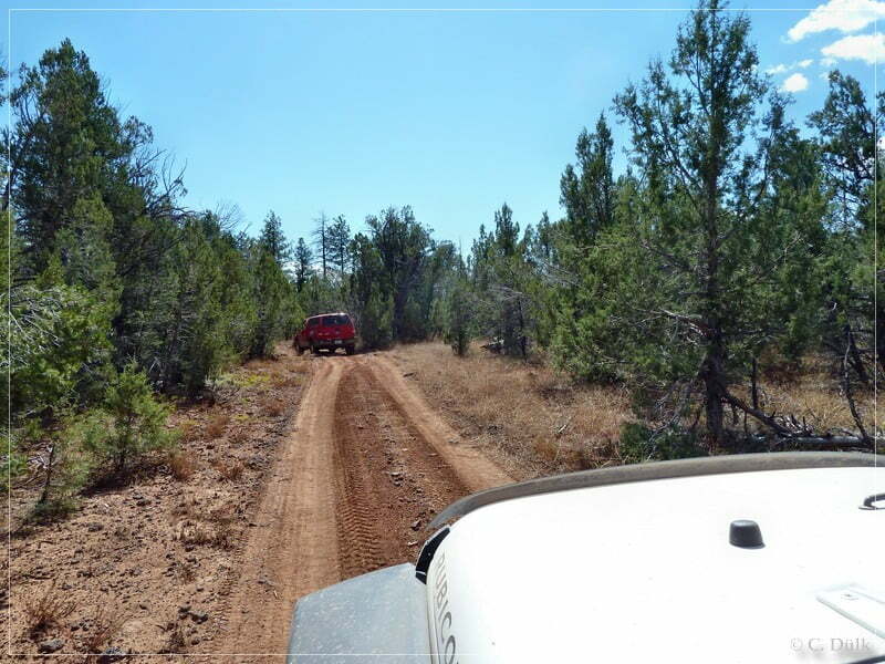
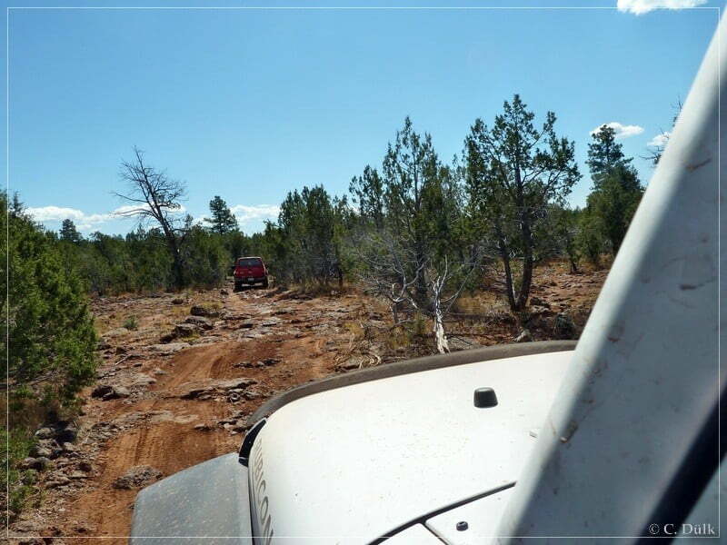
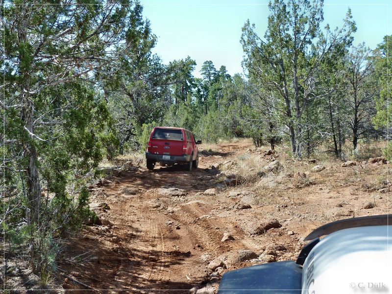
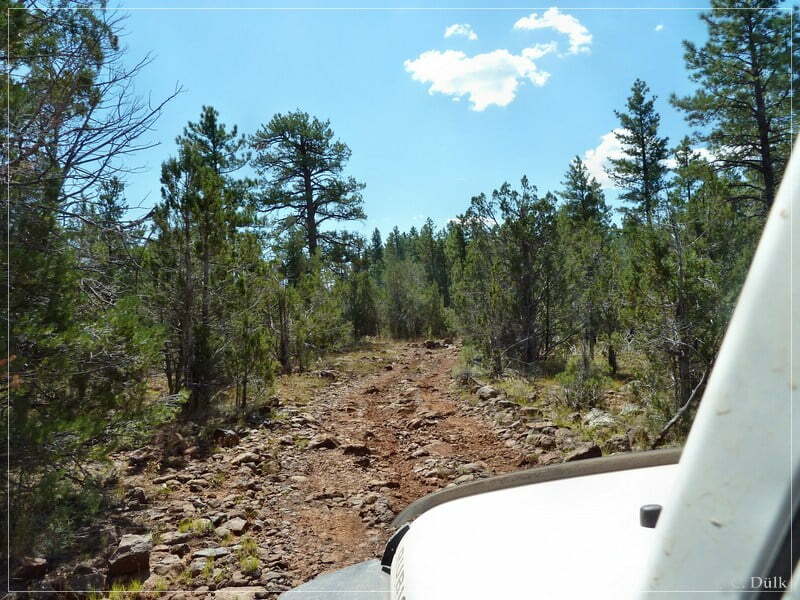
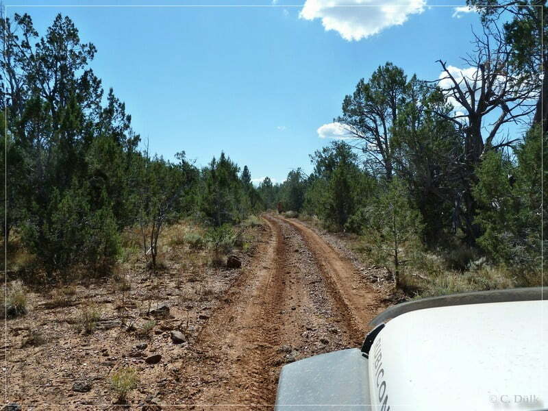
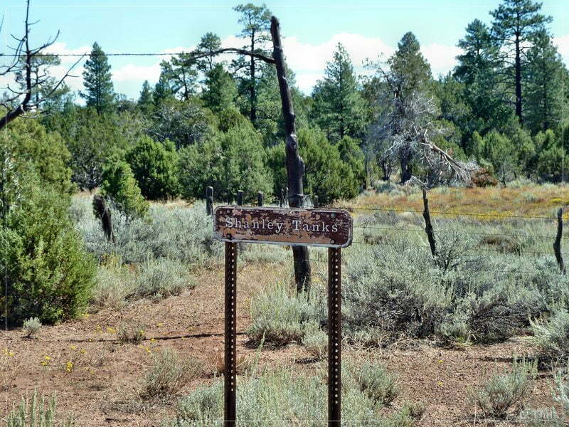
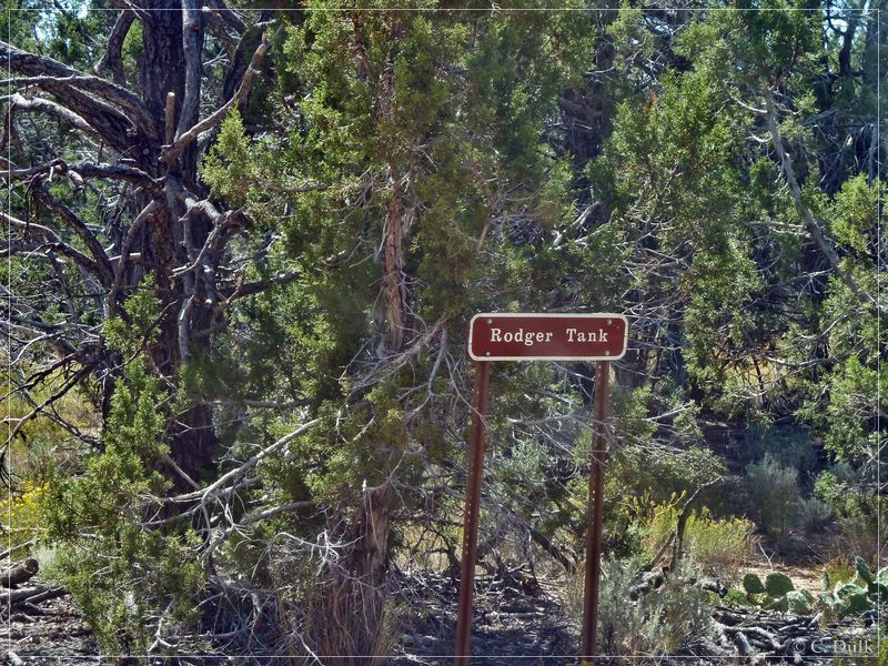
Very often we are passing signs, which are marking tanks:
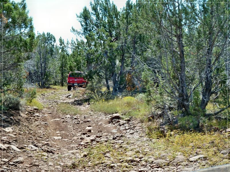
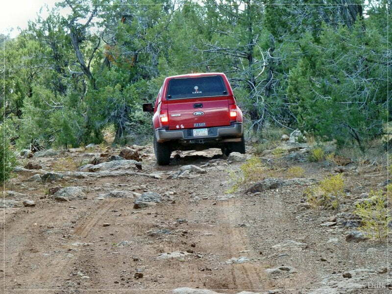
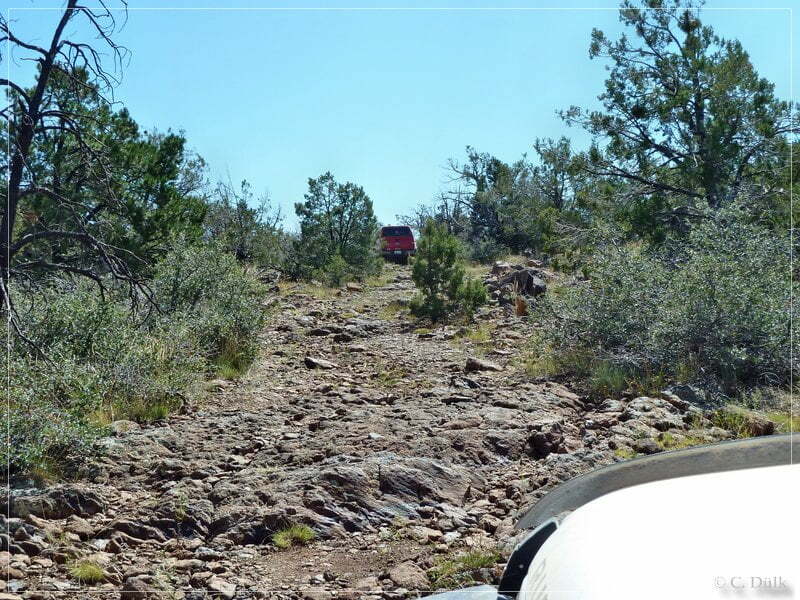
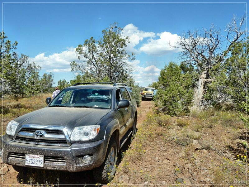
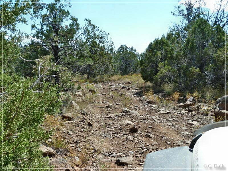
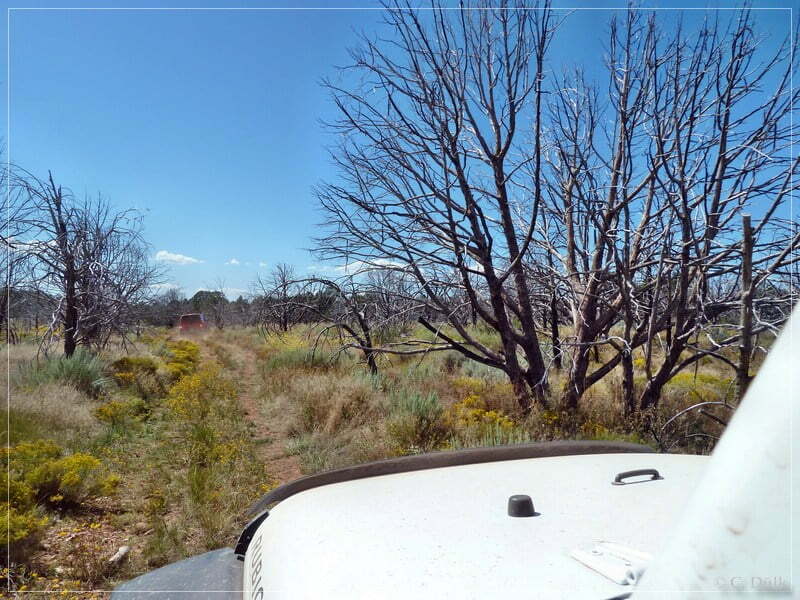
Now we are pretty close at Kelly Point….
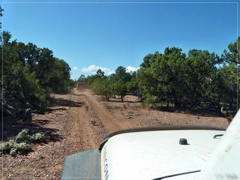
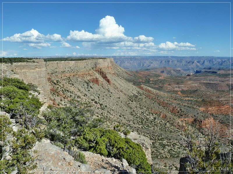
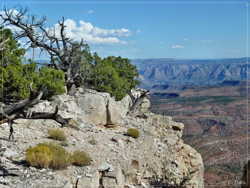
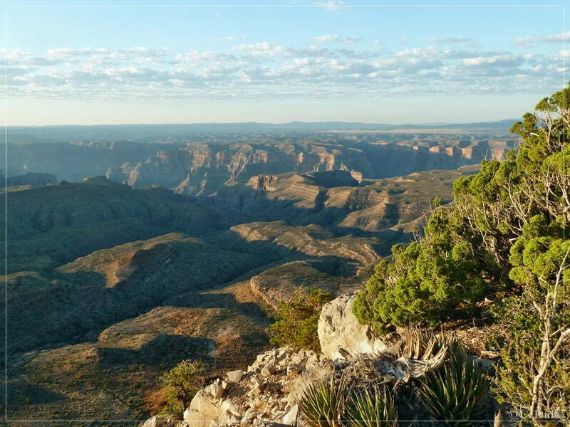
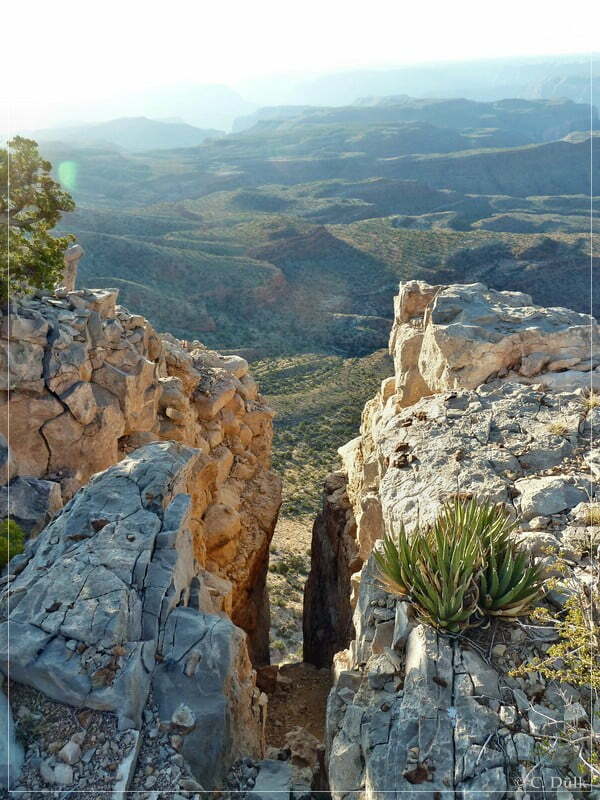
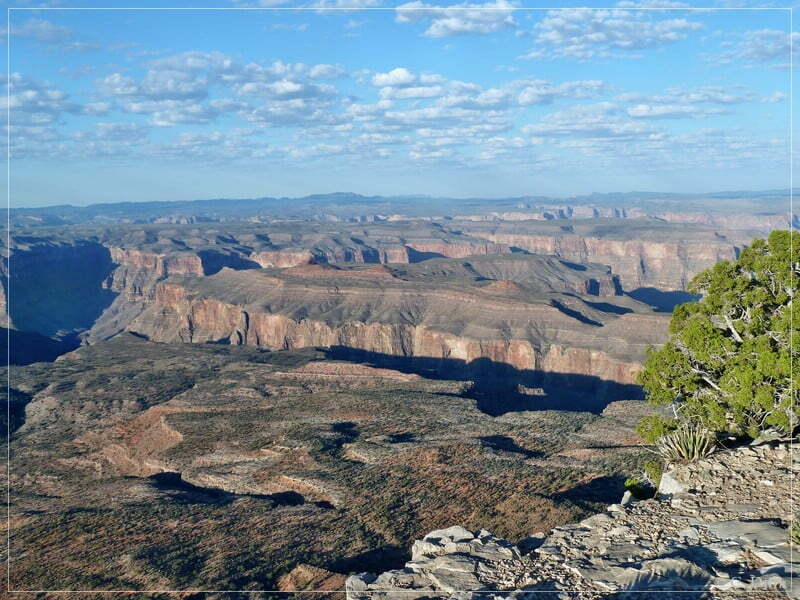
… and after a few more meters we are arriving and enjoyed the great view:
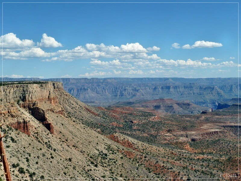
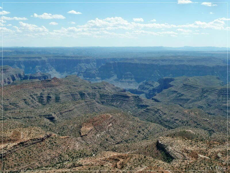
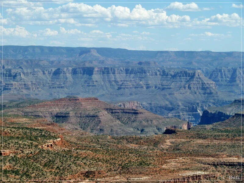
Here a view towards Twin Point:
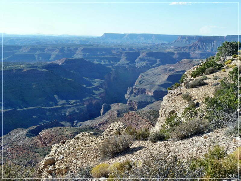
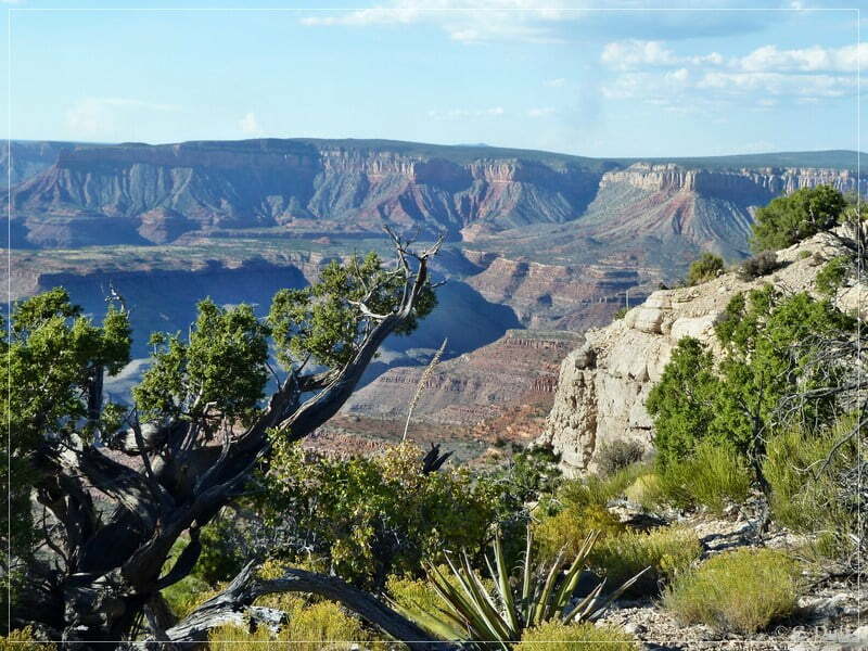
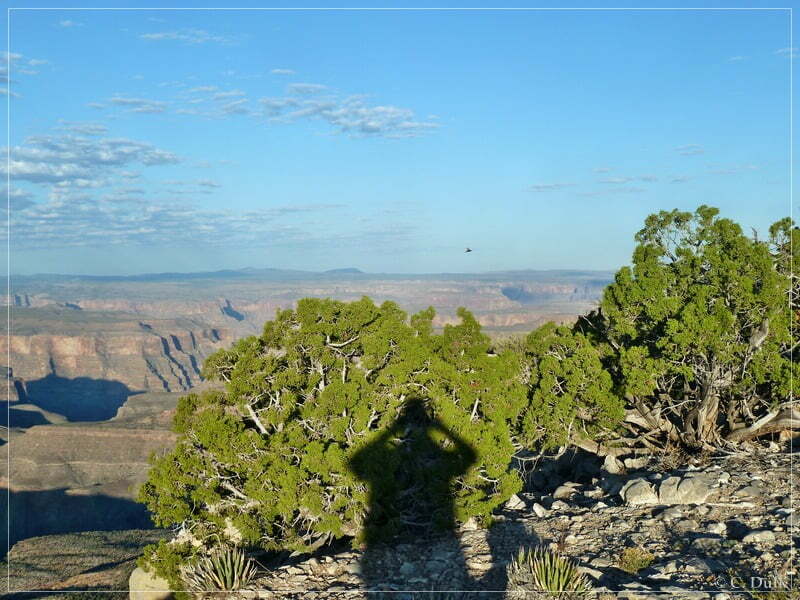
We had our camp directly at the rim. From here one could see the lights of Peach Springs in the night. The Colorado River is not visible from here. We were enjoying the sunset before everybody went into his private camp.
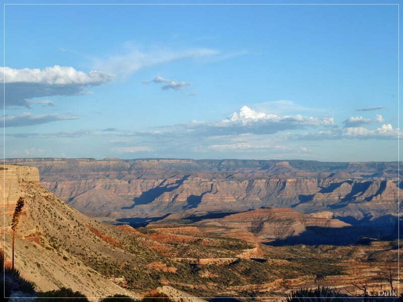
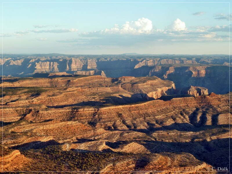
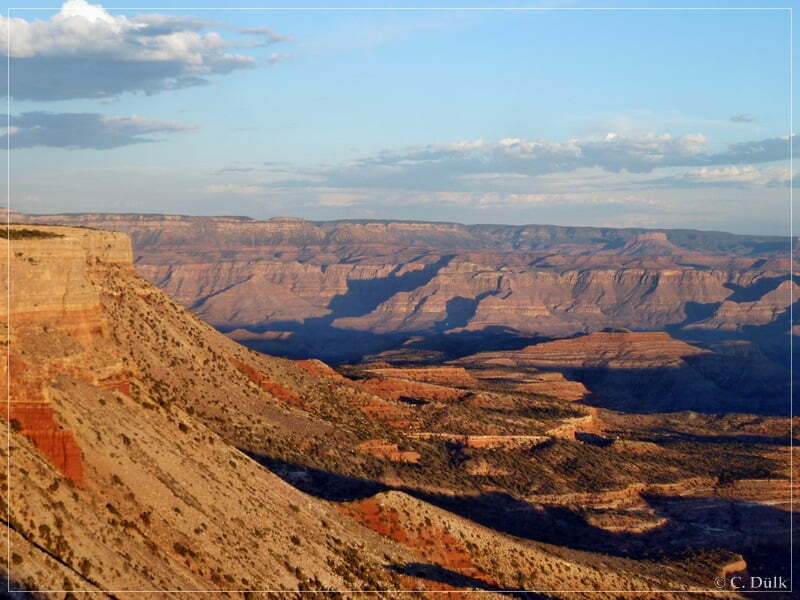
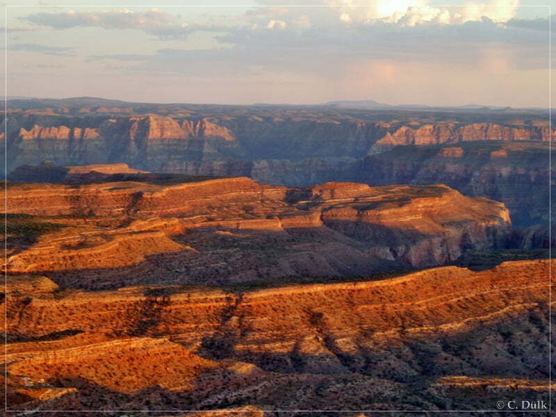
The next morning we went up at sunrise to enjoy again the great views from here.


After breakfast we went back the same way towards Oak Grove as we came in.
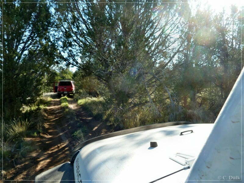
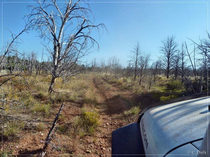
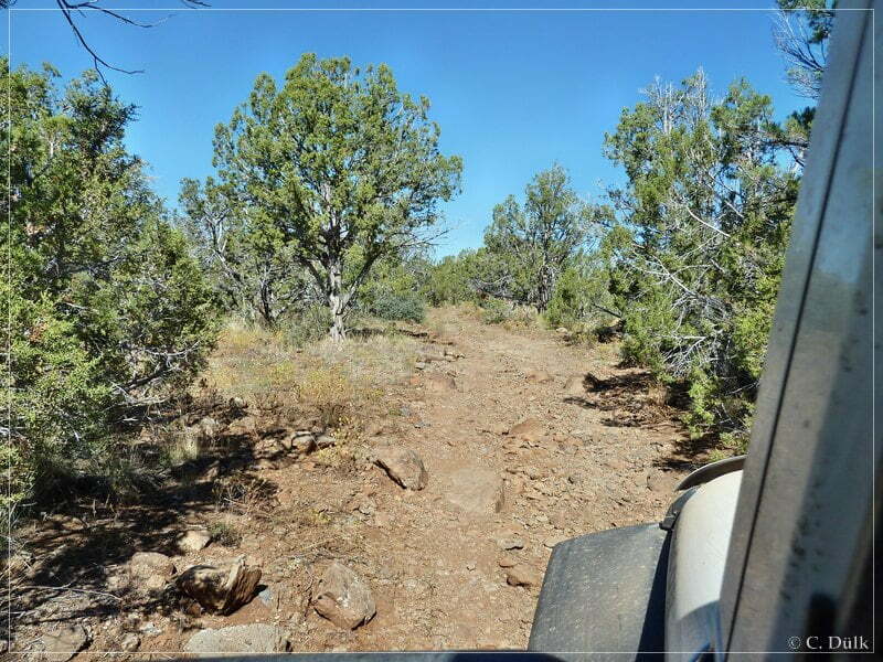
Partly the trail was more looking like an ATV trail:
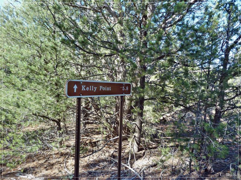
After 5,8 miles we passed again a sign, which shows the distance towards Kelly Point:
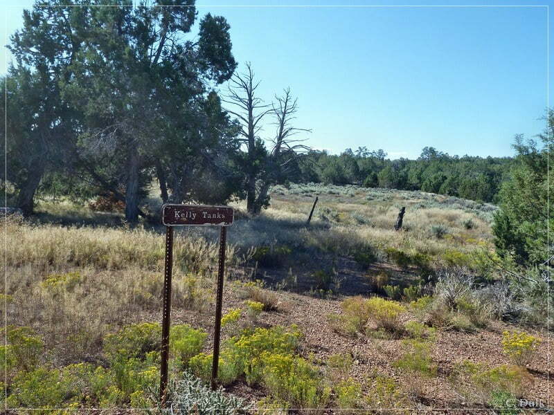
Then we passed Kelly Tanks:
On the way back to Waring Ranch:
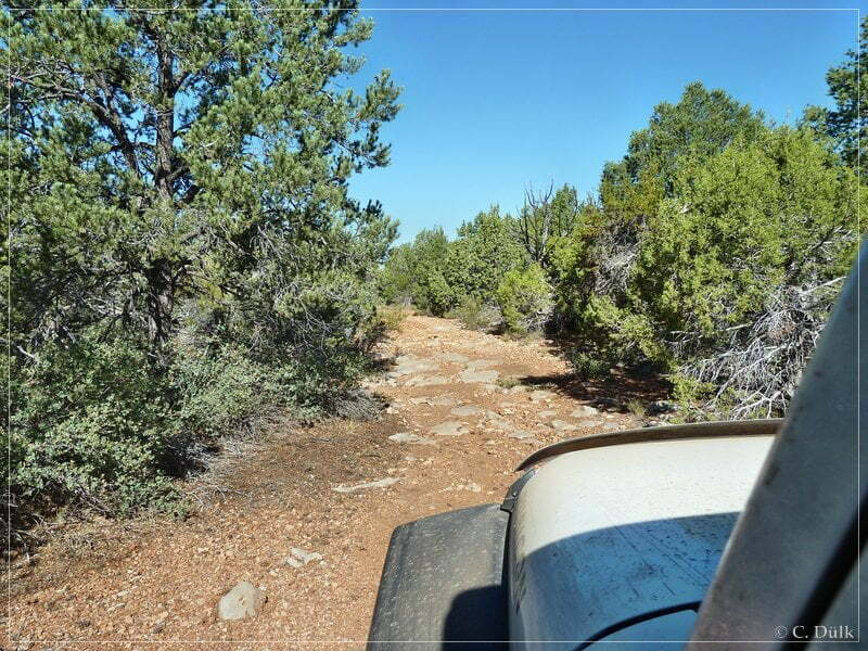
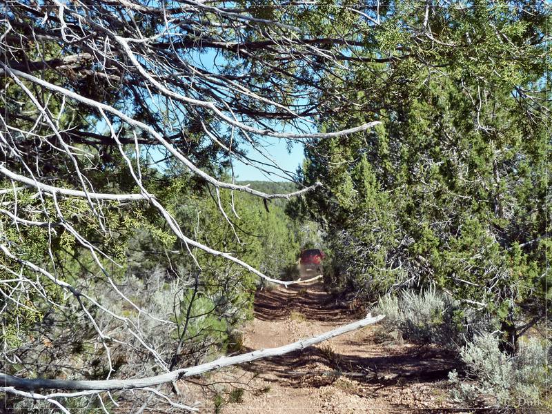
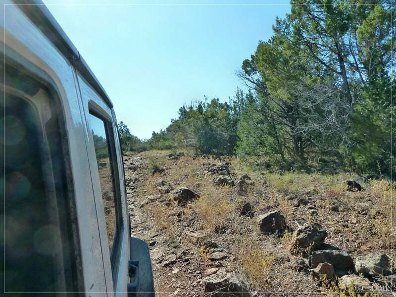
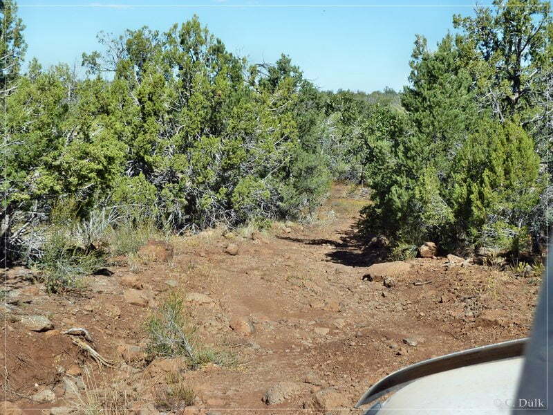
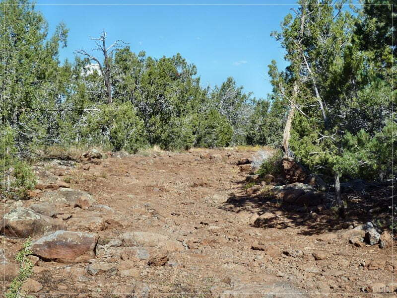
We stopped at a specific point to see, whether we could see some indian pottery. Dan found an arrowhead..
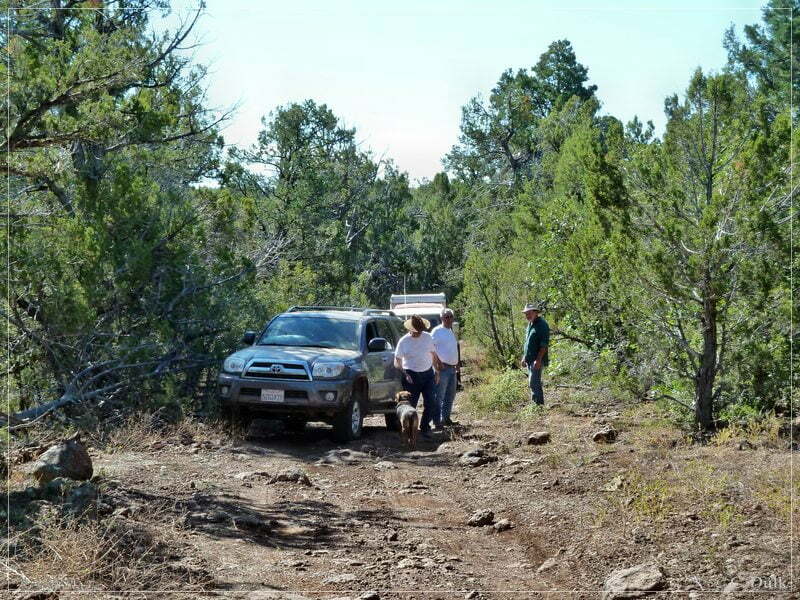
We continued…
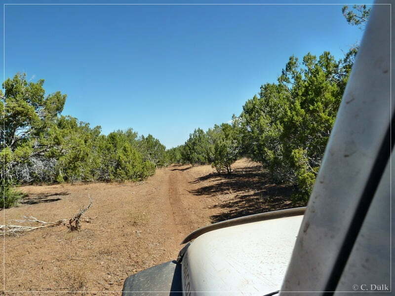
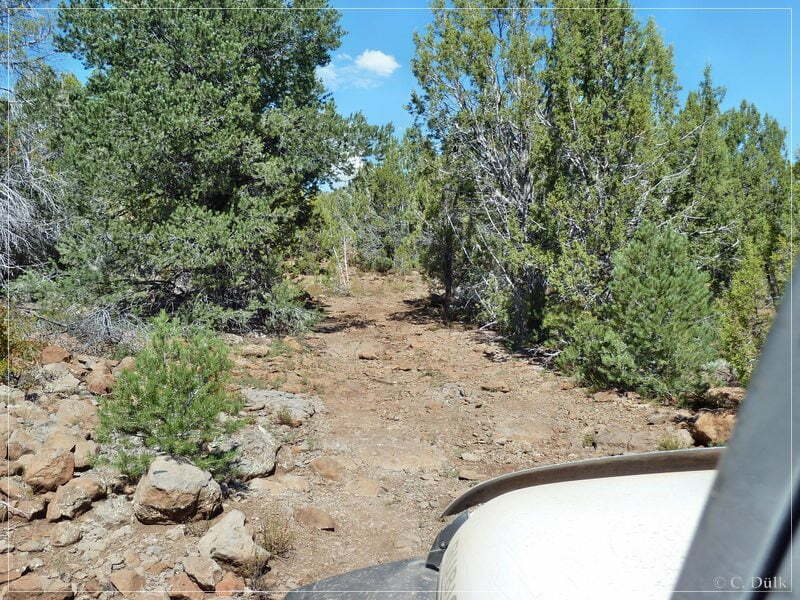
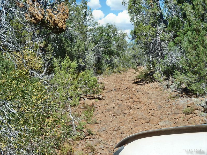
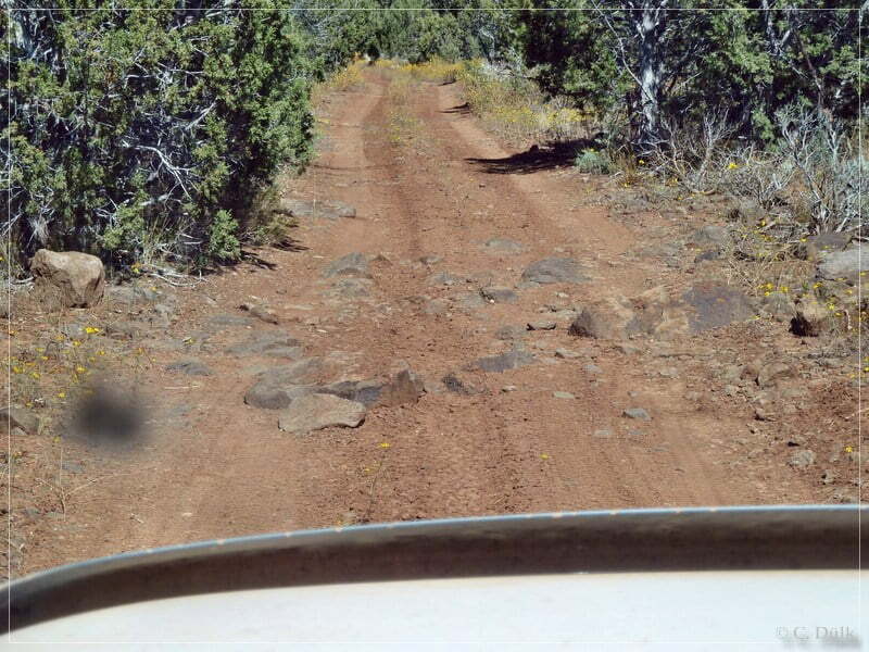
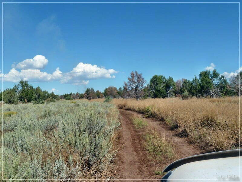
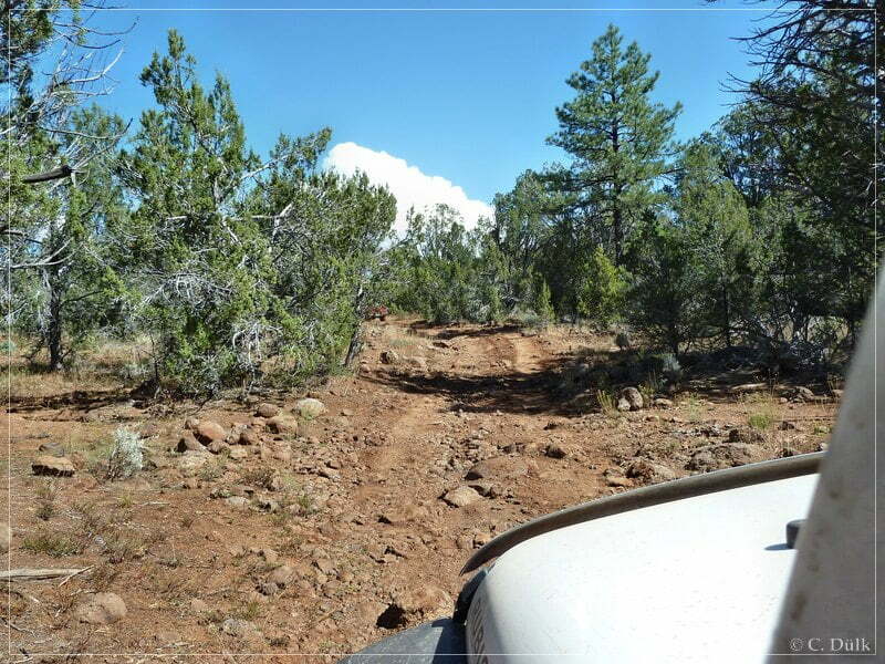
…and were back at the wash:
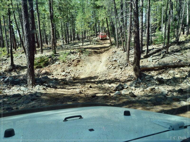
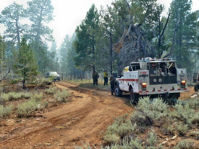
A little bit ahead we saw smog coming up:
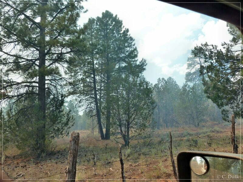
We met the fire workers, which did some controlled burning in this region. We were lucky, as all of us could come through, before the fire reached the trail.
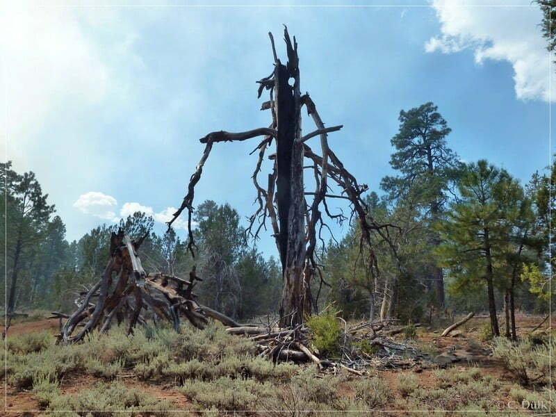
Soon we arrived at Waring Ranch. Here we signed into the log book. This should usually be done before heading out to Kelly Point 😉
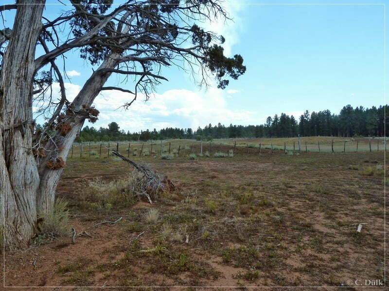
At 12S 26692X 400460X we were again at the turn off to Oak Grove and Twin Point. As we were faster on the way back, we decided to go to Twin Point also. From this turn off it´s supposed to be around 15 miles oneway to Twin Point. On an easy trail we are going forward.
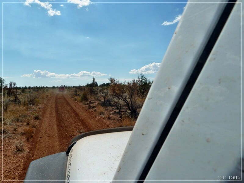
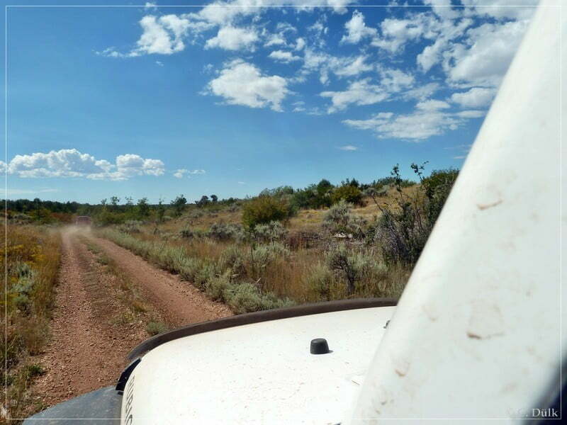
At this point we decided to turn right to have a lunch break. To the left the main trail is going to Twin Point.
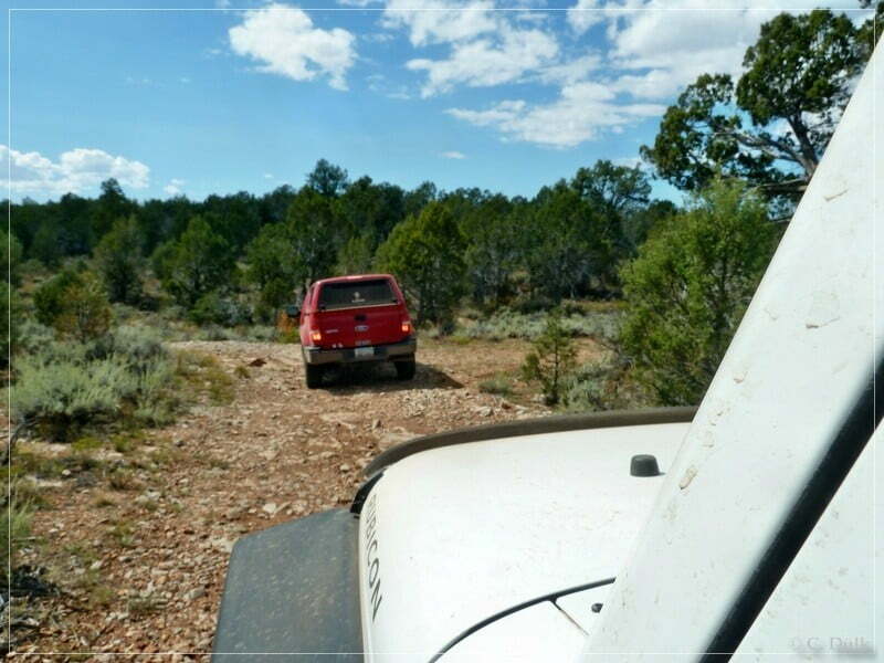
After a short break we were back on the main trail:
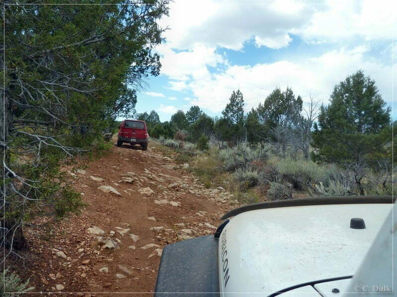
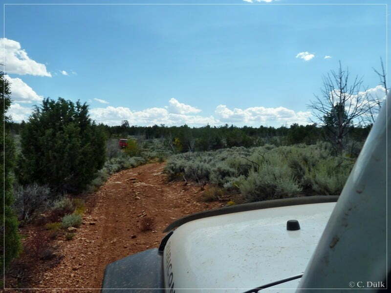
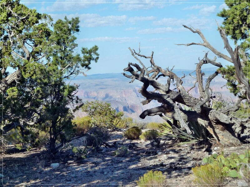
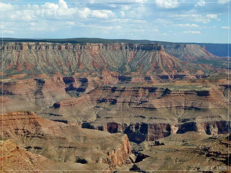
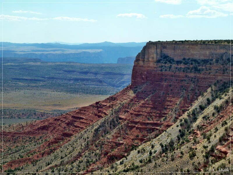
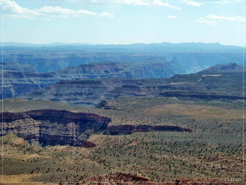
Along the way are a lot of great viewpoints:
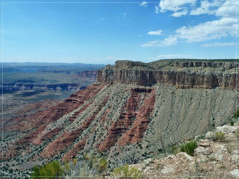
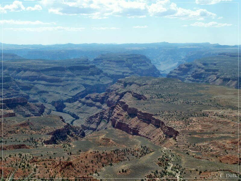
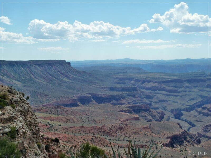
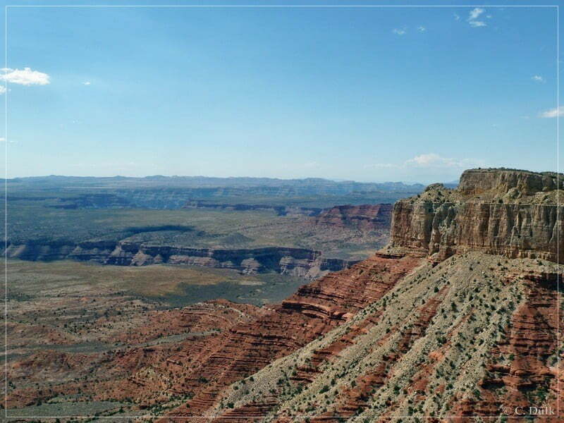
We are stopping along the way to enjoy more great views.
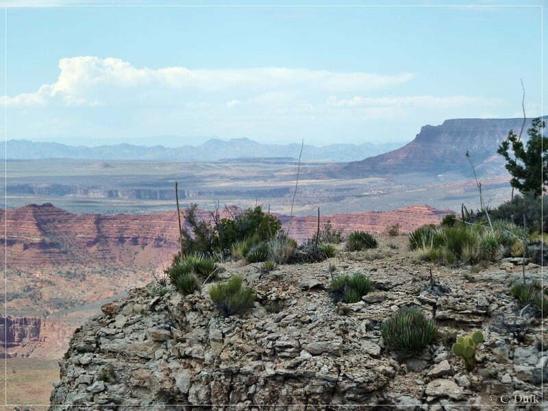
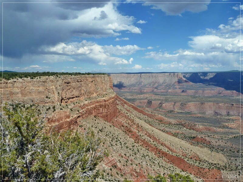
The trail curves towards the end and after a short time we are at Twin Point:
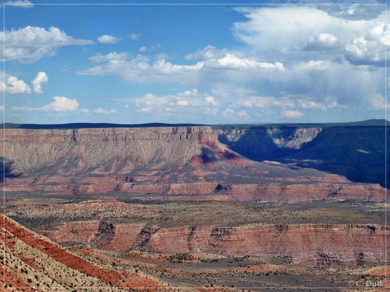
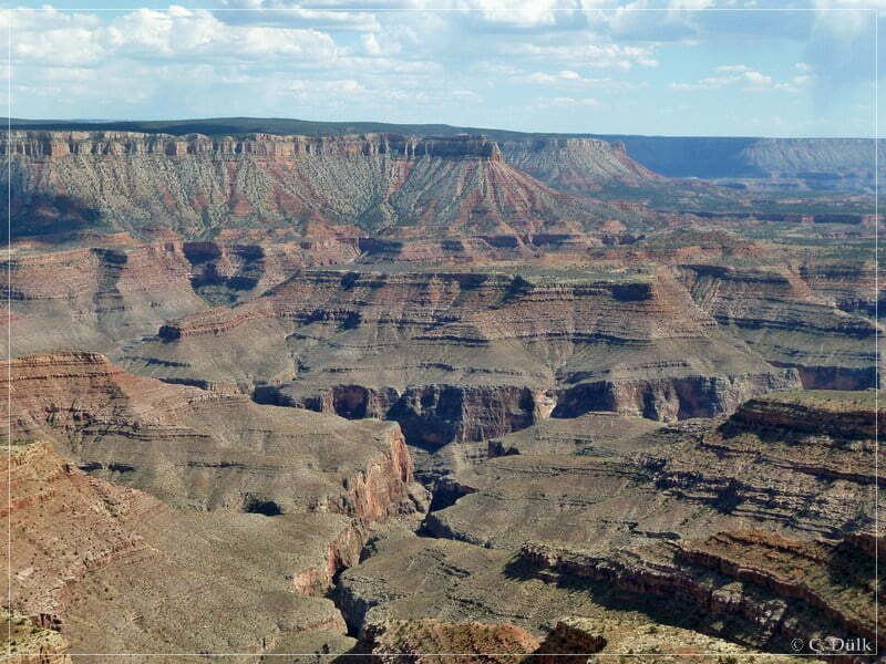
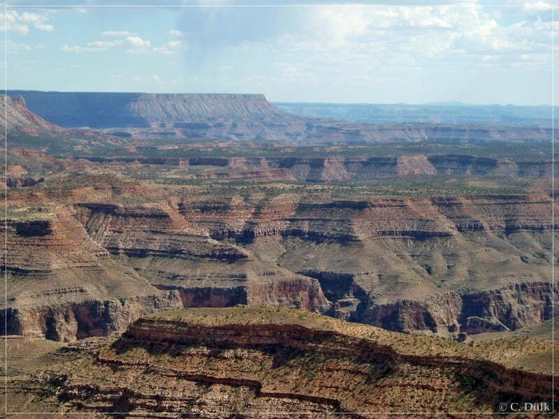
In the Strip we saw some rain coming down:
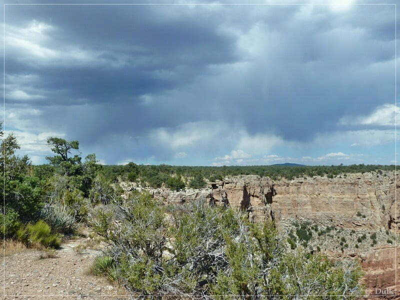
But at Twin Point the weather was perfect:
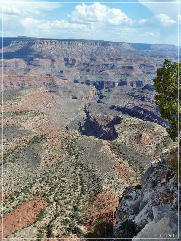
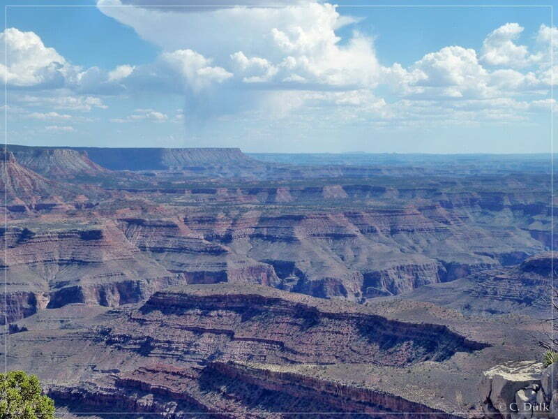
Mal und Jean are also enjoying the outstanding views from here:
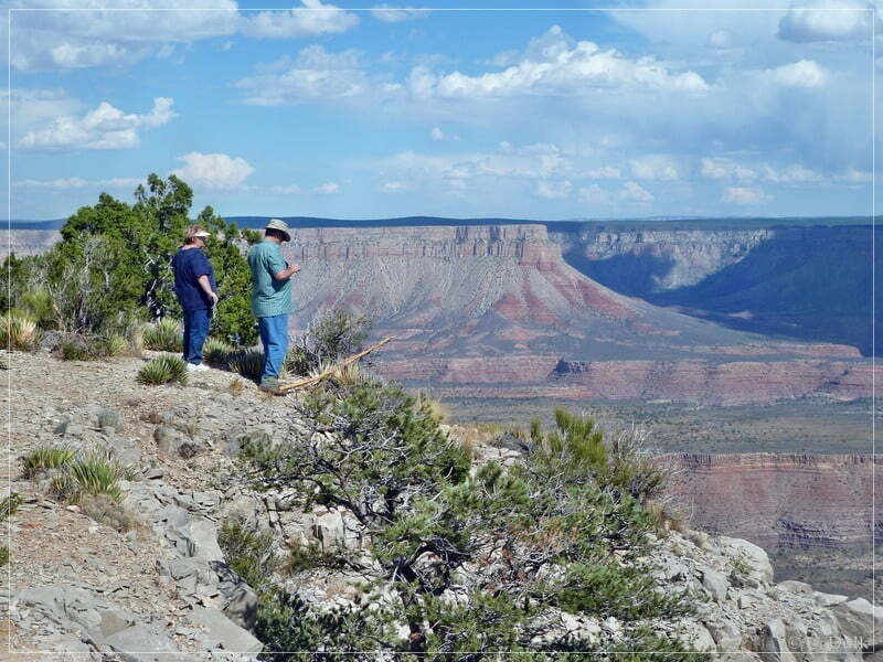
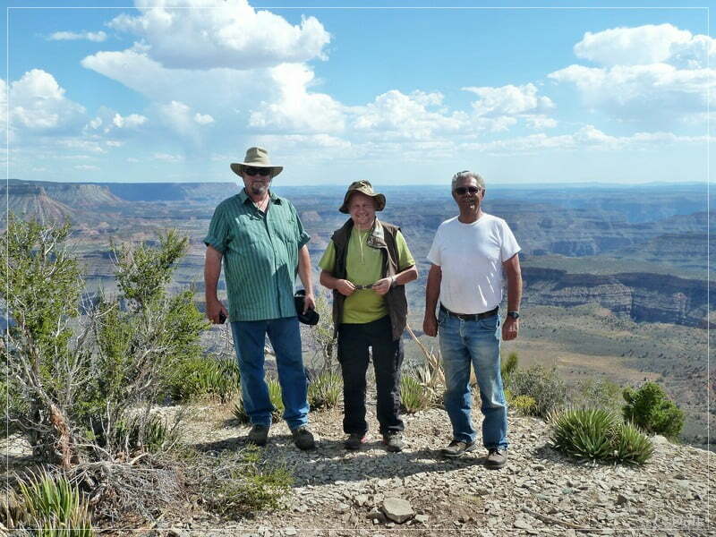
Here a picture of Mal, Dick and me:
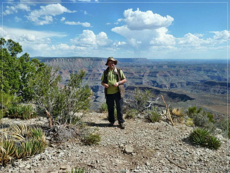
And one only with me:
After a short ime we went back towards our base camp at Poverty Mountain and stopped again for some great views.
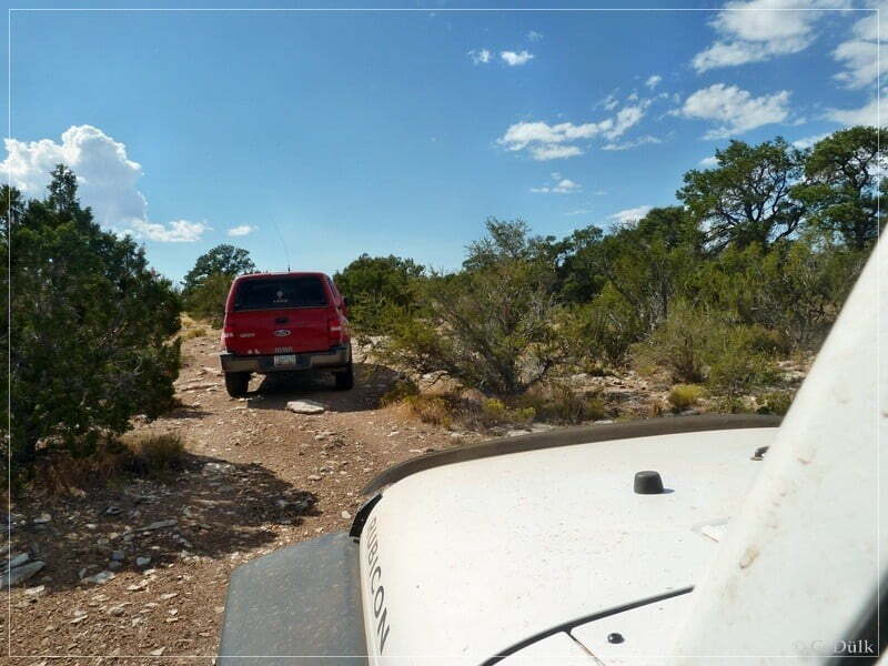
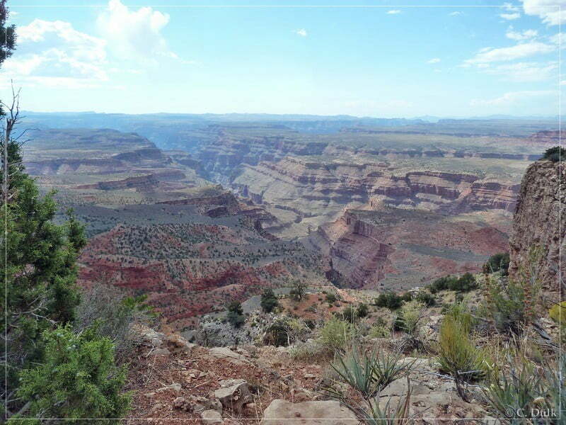
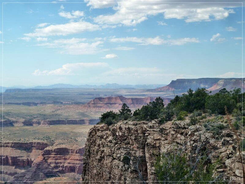
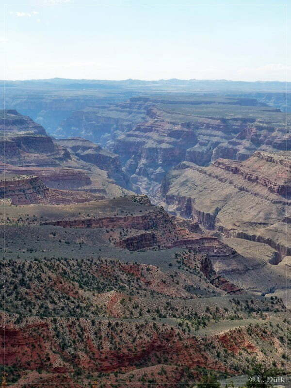
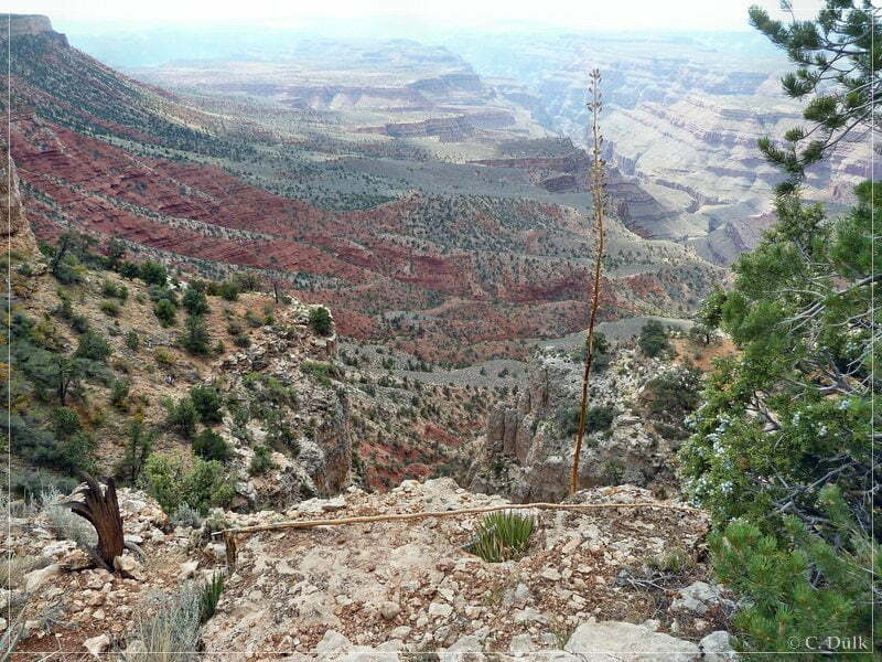
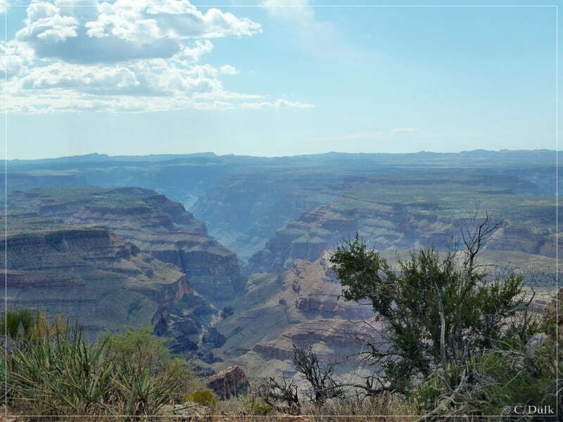
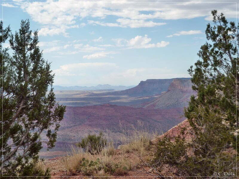
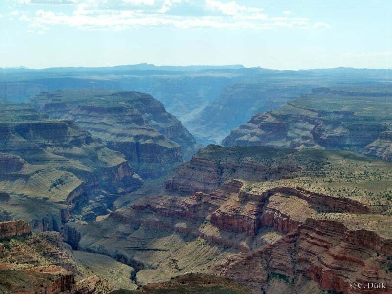
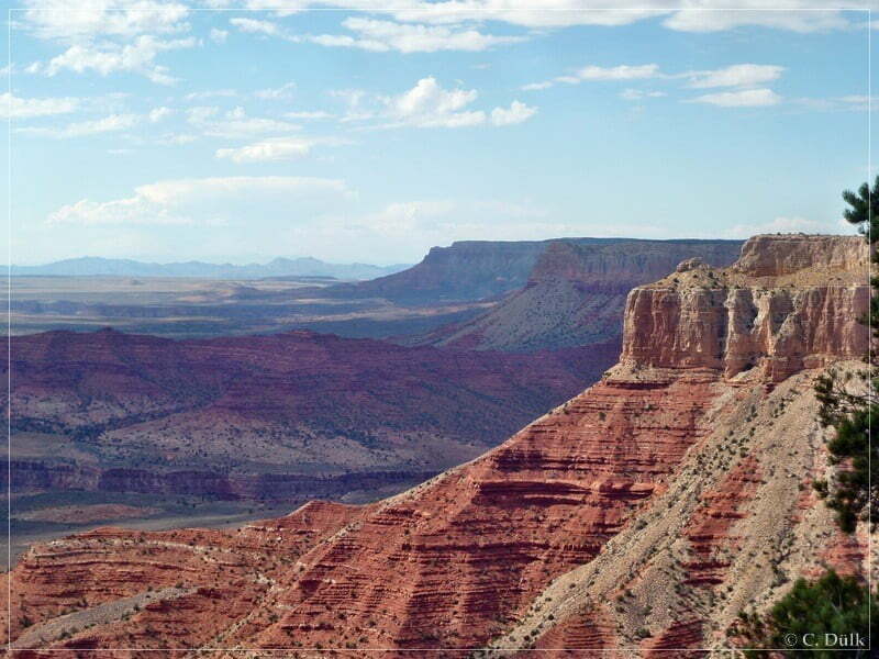
Back on CR103 we went towards Poverty Mountain on an easy trail.
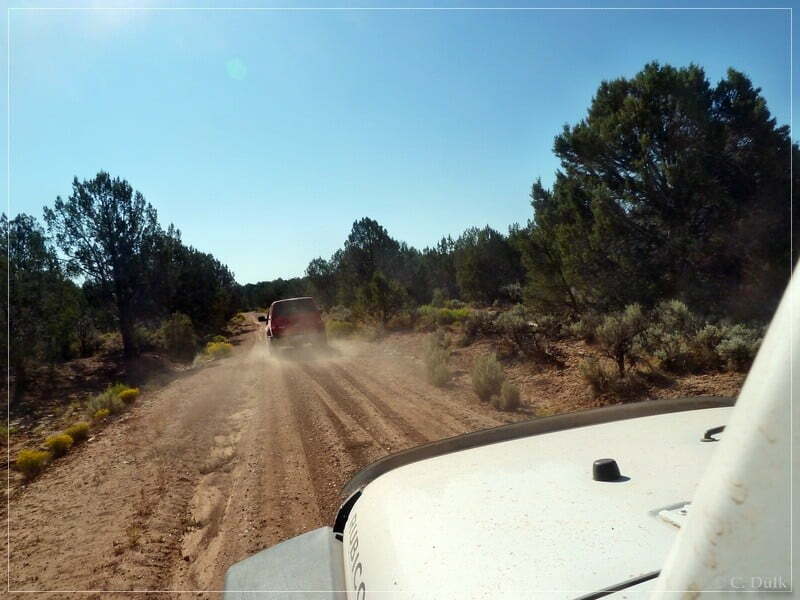
Back at the base camp, Dan, our trip lead said, that he will never do this trail to Kelly Point again. So the rumours were true 😉 I personally think, that he will do this trip again after some time, because Kelly Point and Twin Point are gorgeous viewpoints at the North Rim, which are seldom visited.
This trail is not really difficult (at least, when the conditions are like in September 2011), but it is a strenuous 26 mile drive towards Kelly Point.
For a better orientation, one can download a gpx file of this trip:
Tracklog: Kelly Point and Twin Point, Arizona Strip, AZ (1971 downloads )
And here is an overview of the area, we visited:
