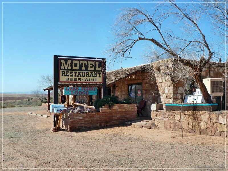
As we tried last year to reach the rim region above Bonal Springs on the Paria Plateau and were not successful, we wanted to try it this year again. We luckily had perfect weather conditions for this trip and there was no snow on the plateau this year in march. Additionally there was some snow some days ago, which already went away, so that the sand on the Paria Plateau was in perfect condition. To be faster in reaching the Vermilion Cliffs, we decided to stay in the Lee´s Ferry Lodge. The restaurant is supposed to have a huge selection of beers from all over the world.
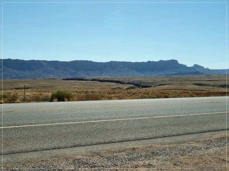
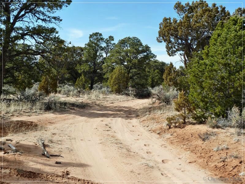
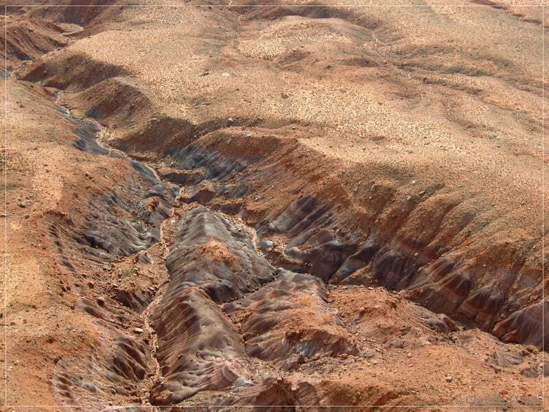
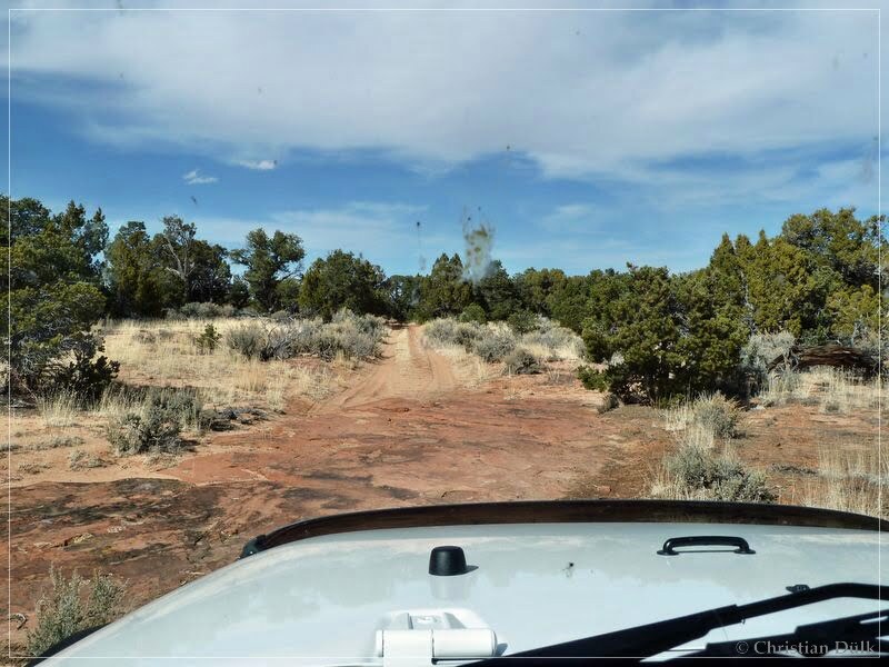
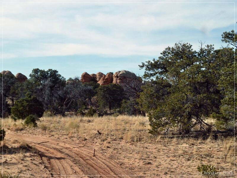
With awesome weather we went down US89A and turn left onto House Rock Valley Road. On the way we had a good view on our todays ‘target’ region:
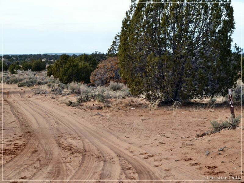
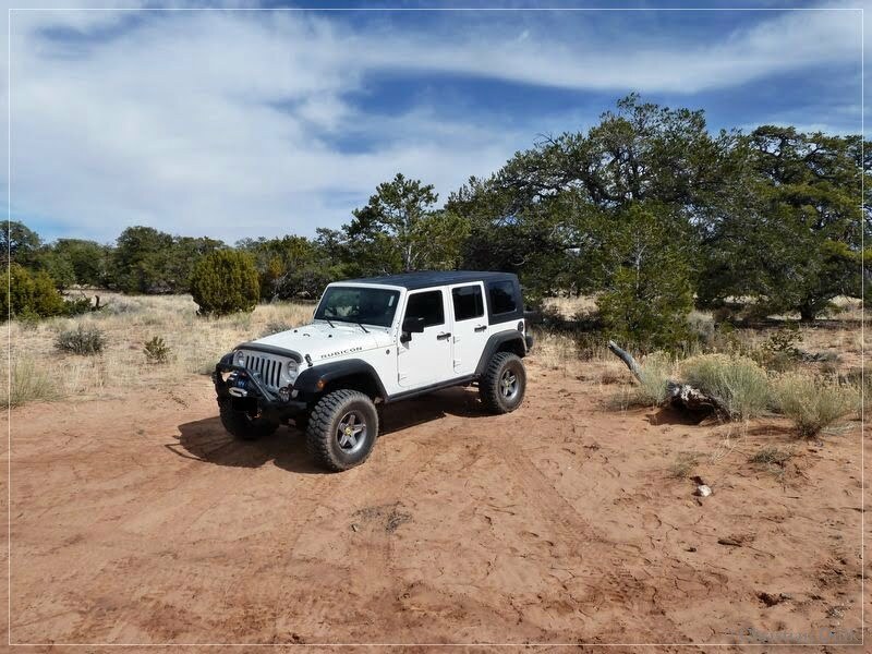
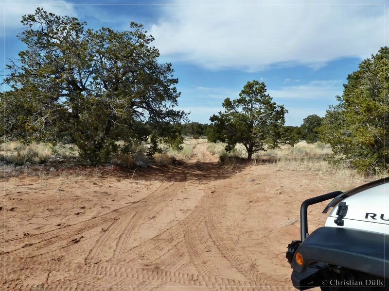
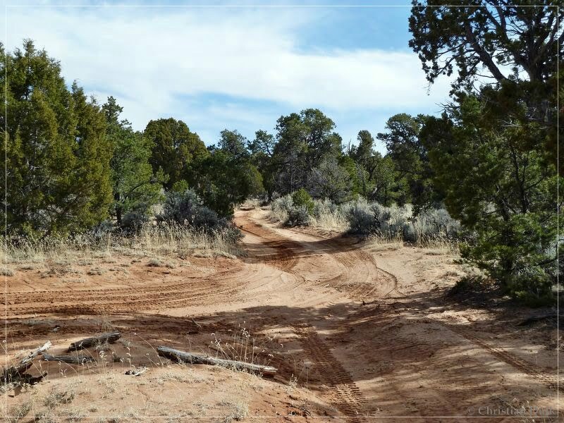
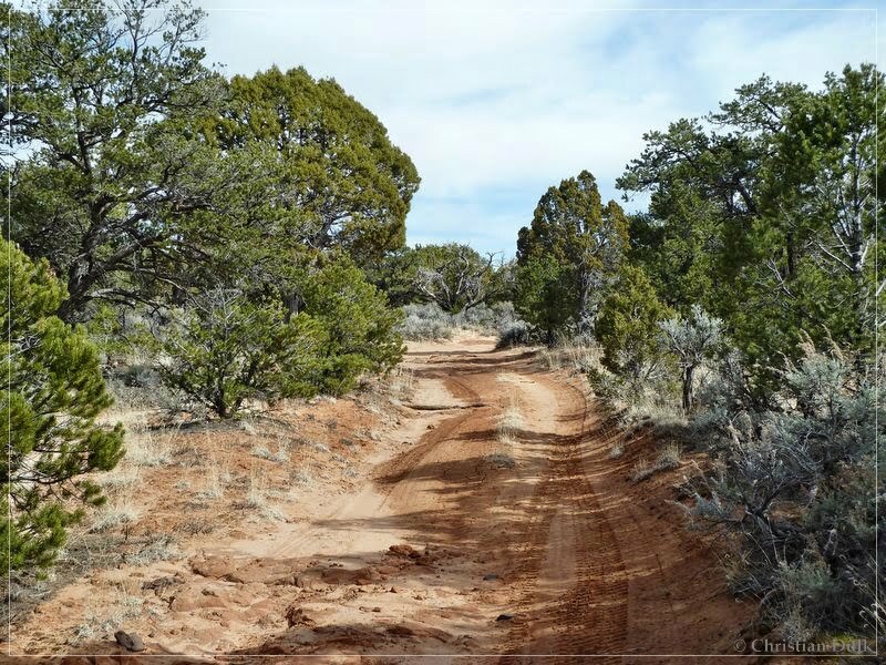
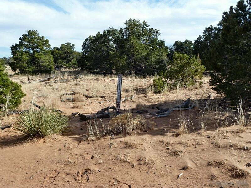
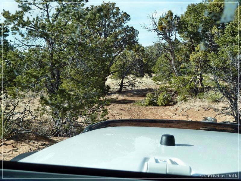
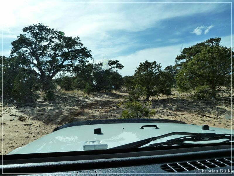
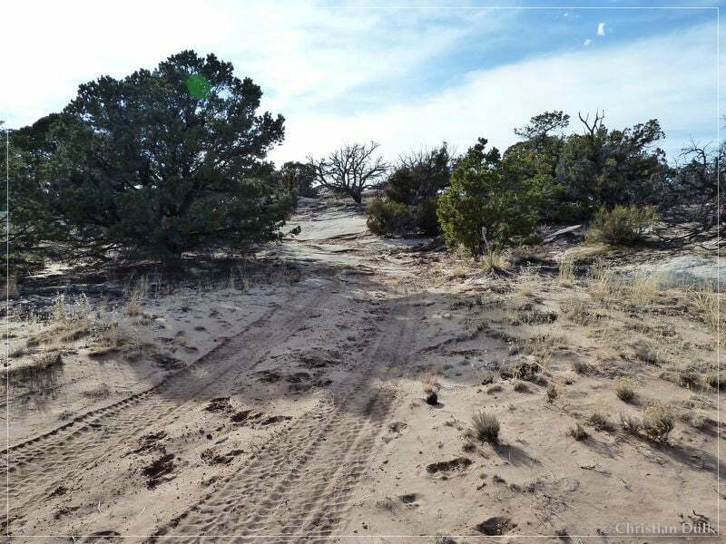
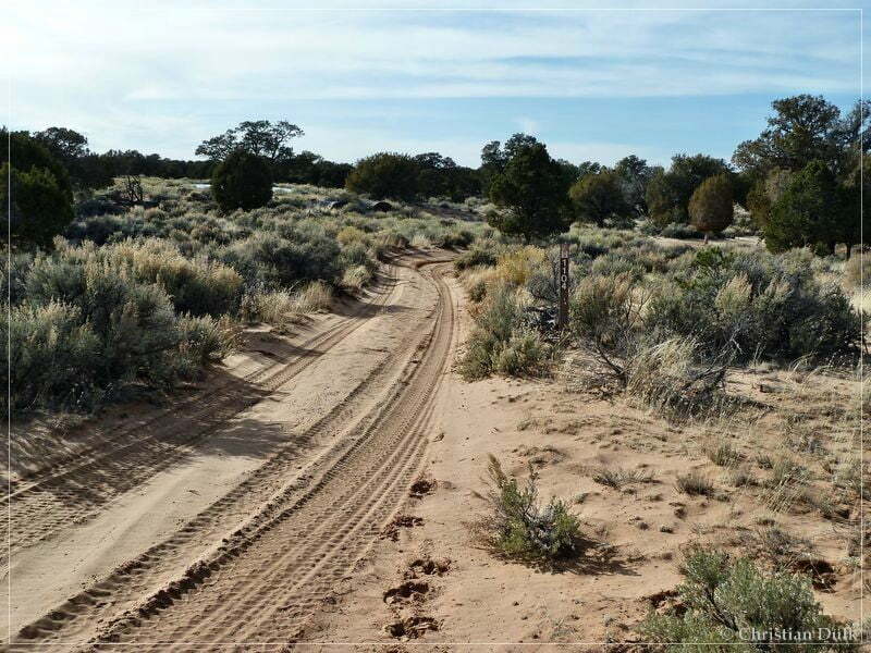
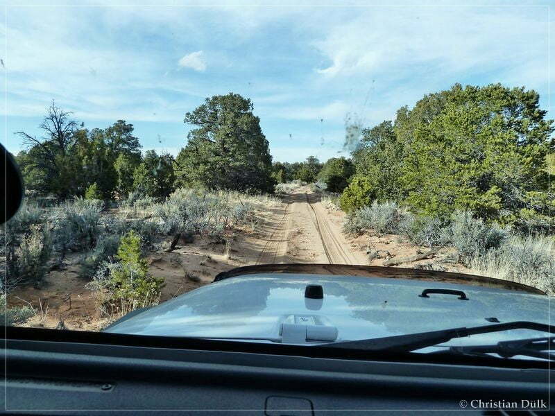
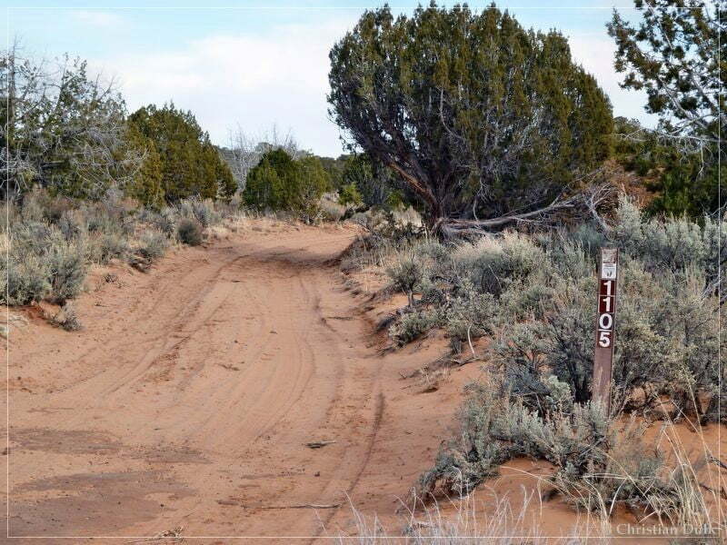
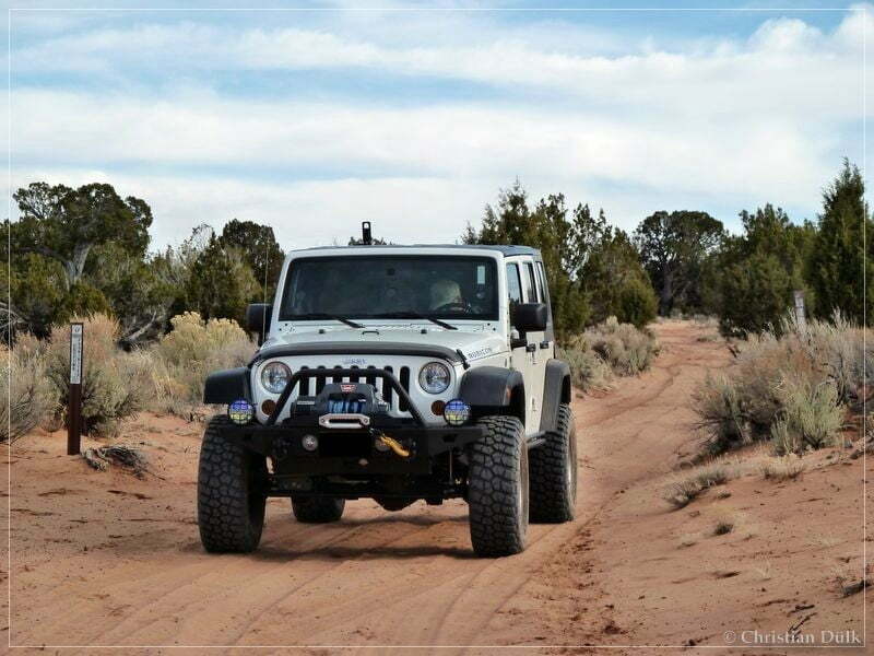
On House Rock Valley Road we went down until we reached the turnoff to the right into Coral Valley (12S 40530X 407987X (UTM/NAD27)). After turning right, we went on that trail until we reached the fork, which leads to the left to the Sand Hills Ranch. We used the right fork and followed Pine Tree Road.(12 S 40981X 407958X) until we passed a small ranch. At this ranch is also the turnoff to Big Sink (12S 41430X 407774X). Shortly after passing the ranch, we met the trail to Bonal Springs Rim region on the right (12S 41474X 407746X, BLM 1104). Here a view pictures, we have taken on the way back:
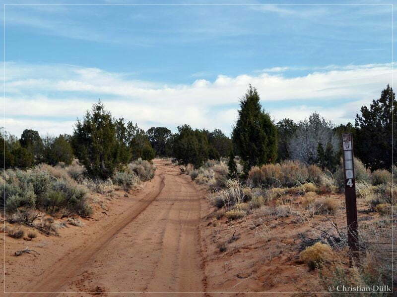
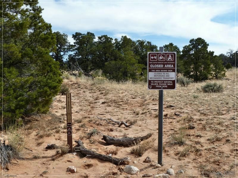
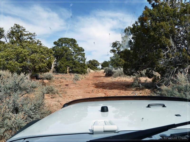
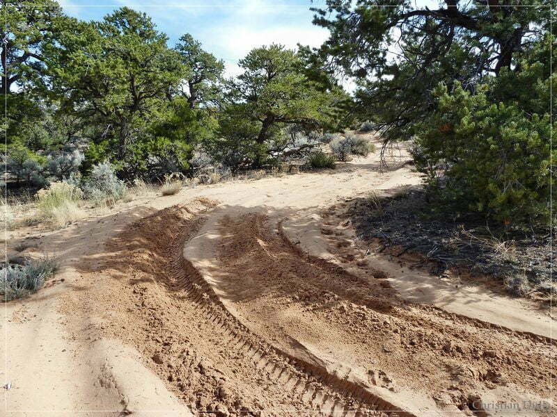
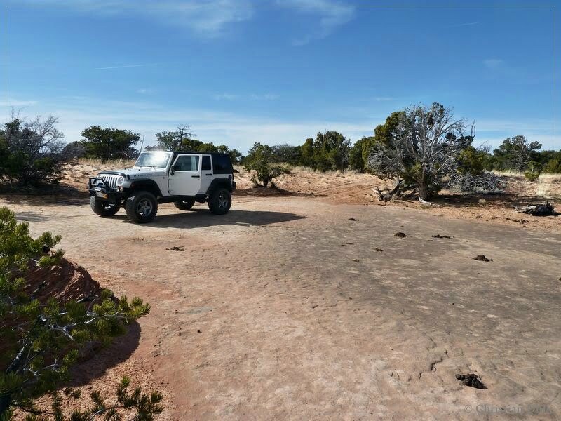
We are following this trail to the right. On this trail portion we failed last year due to snow. This year the trail is near to perfection and we did not have problems to go up to Jim´s Tank (12S 41605X 407029X). At Jim´s Tank we are following the trail to the right. The left route is part of the ‘south route’ and leads also to One Toe Ridge. We are following the easy trail until we are reaching a small spur to the left at 12S 41358X 407021X. On this spur we are drving, until we reach the parking area at the boundary of the wilderness study area..
Continuing on the main trail should also bring you back to Coral Valley kommen.
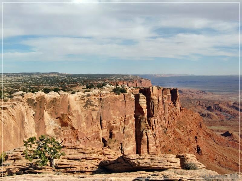
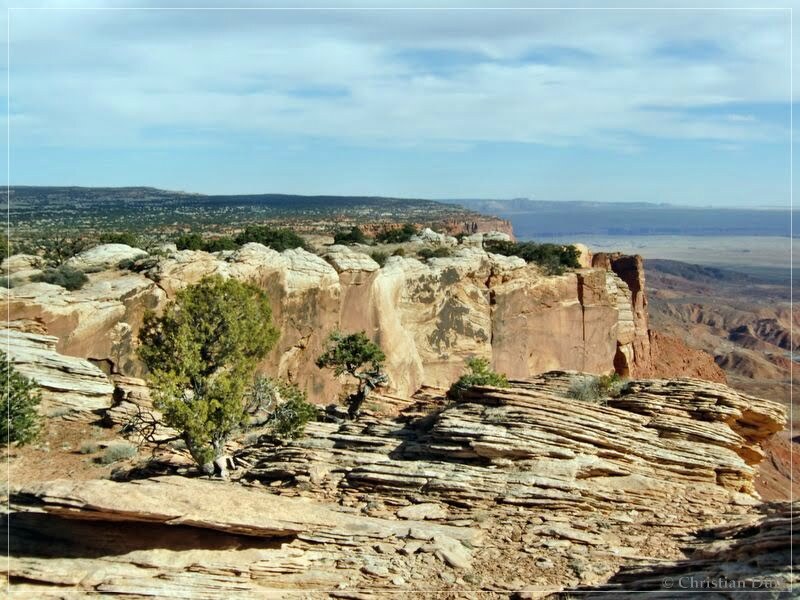
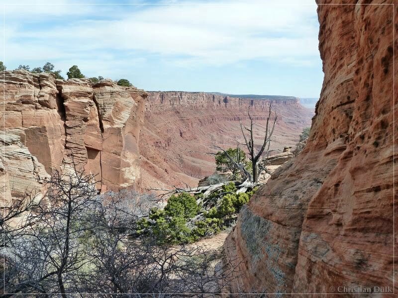
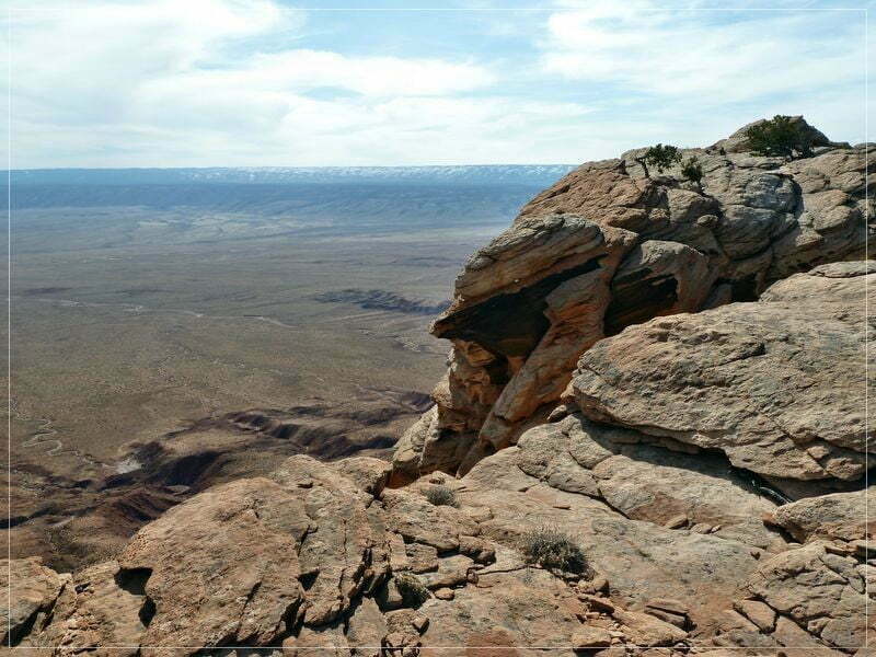
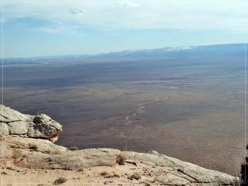
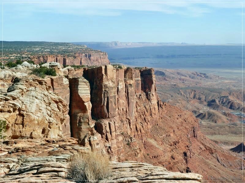
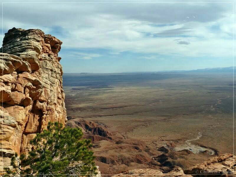
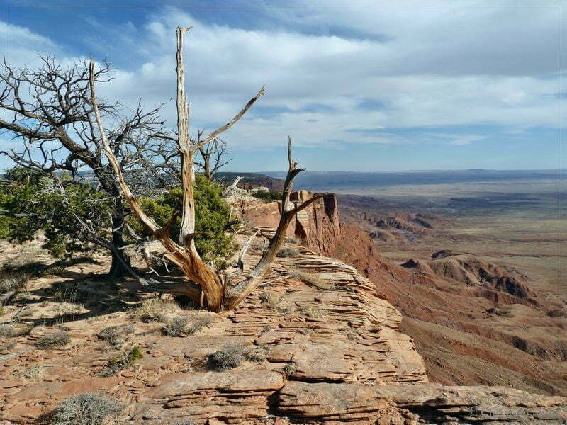
After a short hike we are reaching the rim of the Vermilion Cliffs (picture taken on the way back):
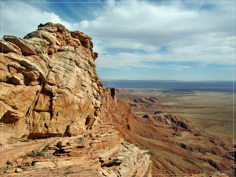
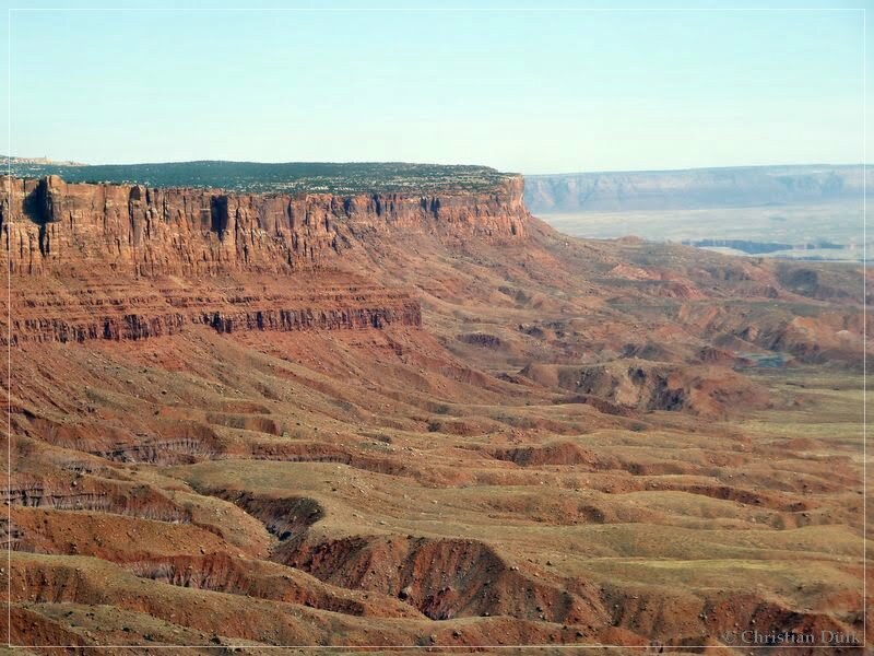
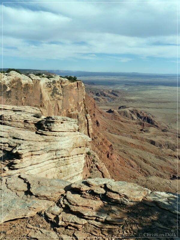
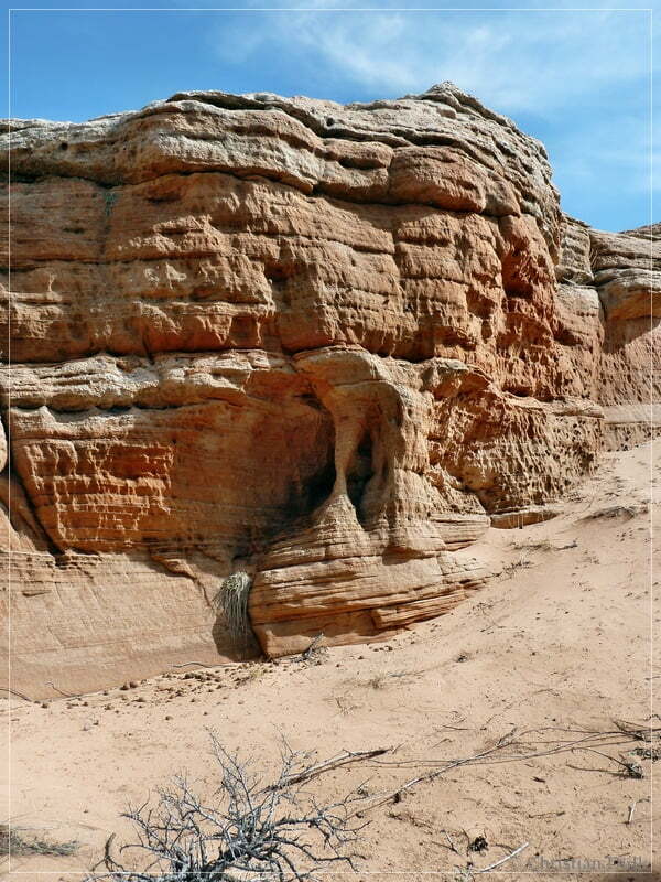
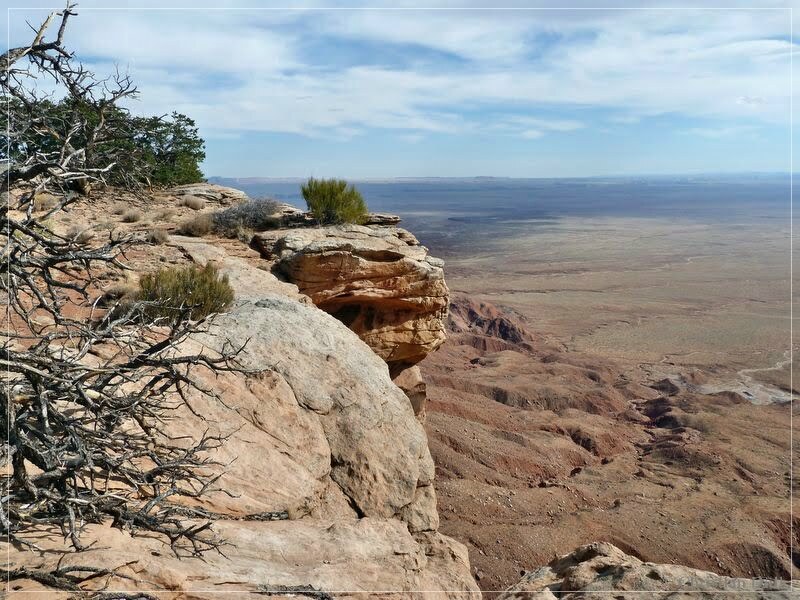
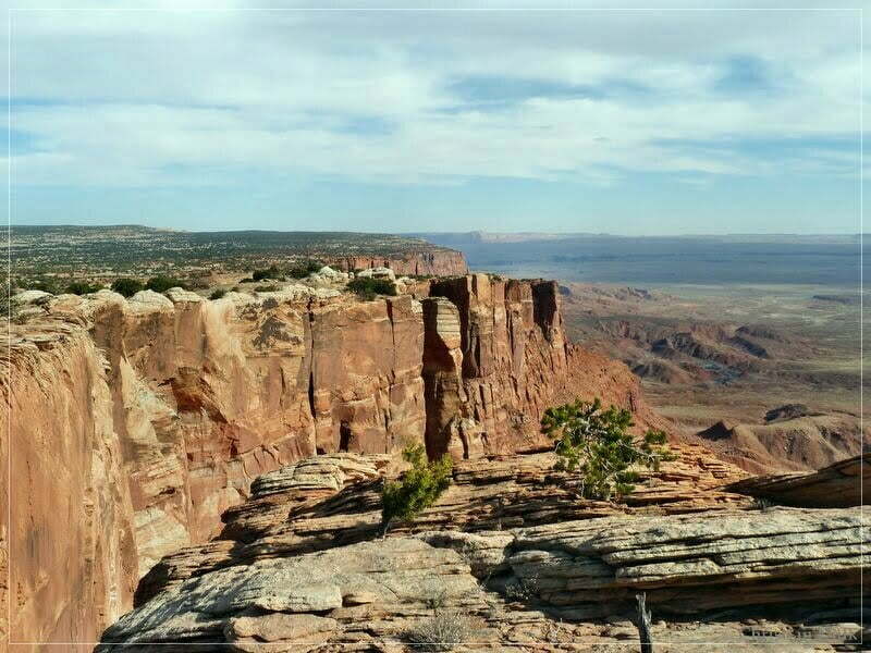
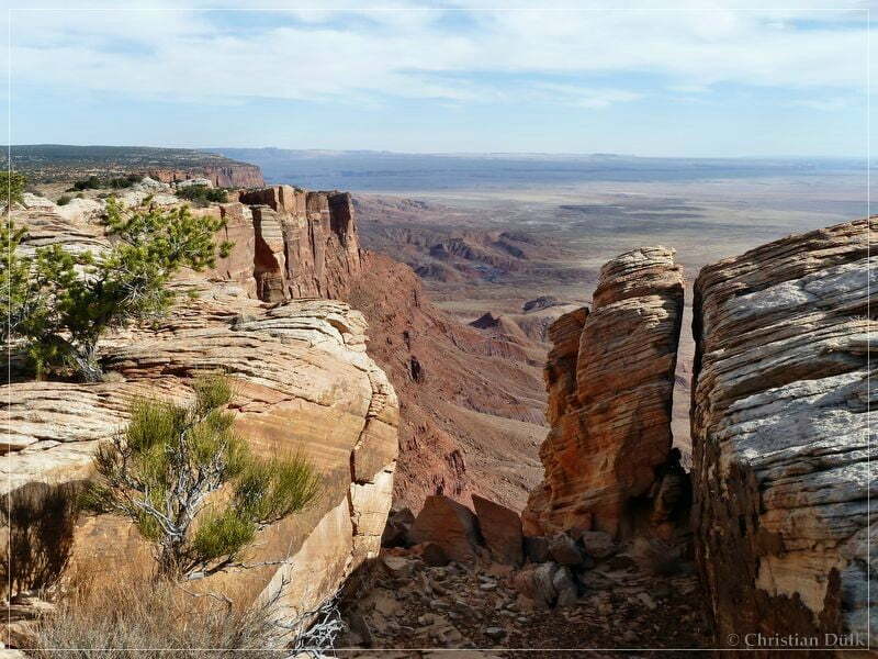
From here one can have absolutely awesome views:
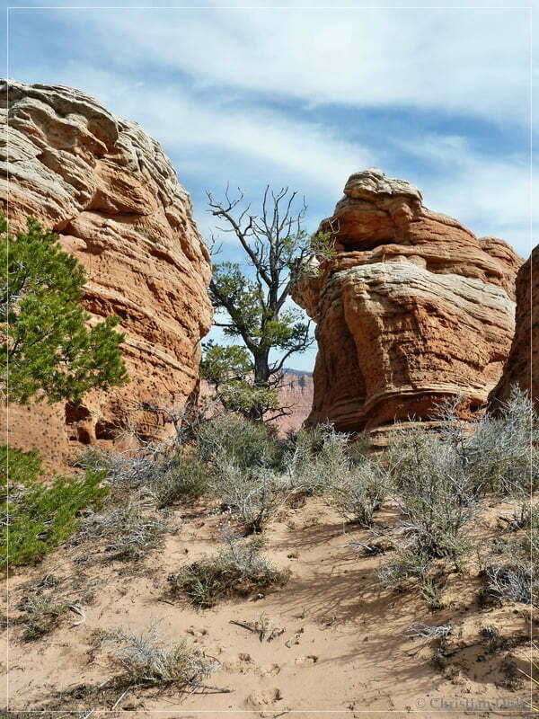
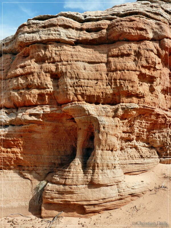
Also a small arch….
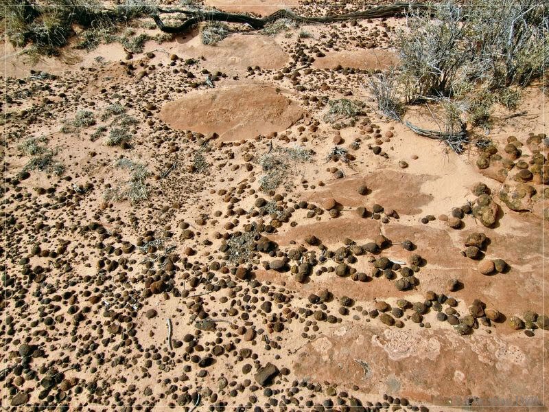
….and a view Moki Marble kind of structures could be found:
There should be also a ruin nearby, but we just forgot to visit it.
After enjoying this beautiful piece of land, we went back to our jeep, as we wanted also to visit One Toe Ridge.
We are going back on the trail, we used to come here and soon we are again at Jim´s Tank to go straight ahead from here.
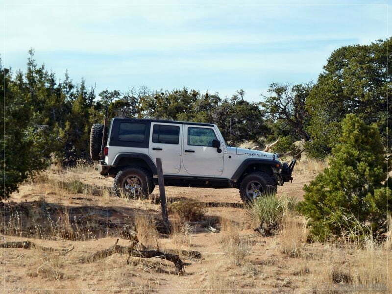
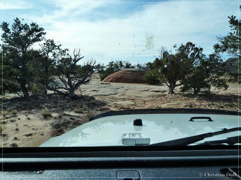
At 12S 41619X 407028X the trail to One Toe Ridge leaves to the right and we are following this route until we reach this spot:
Here we are passing to the left and follow again the trail:
A short time later we meet a second trail, which also comes down from the ‘south route’ and which is less rocky. The ongoing trail brings us again to a parking area at the boundary of the wilderness study area. The trail continues here, but it is only allowed to hike this portion towards the rim.
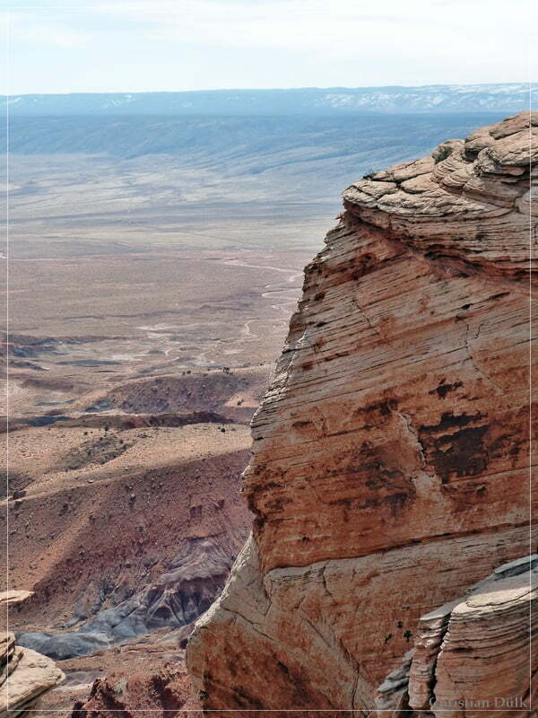
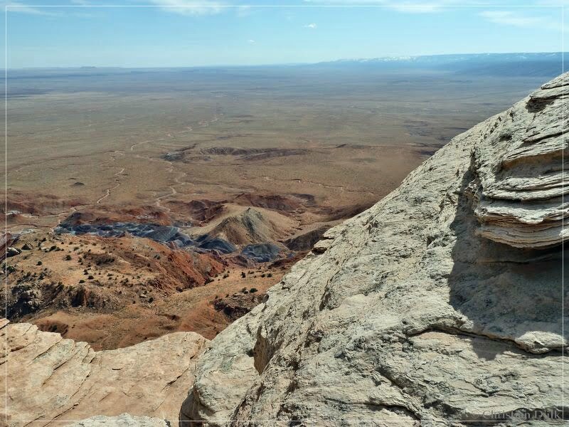
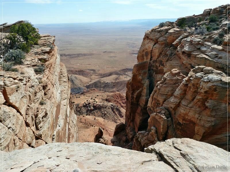
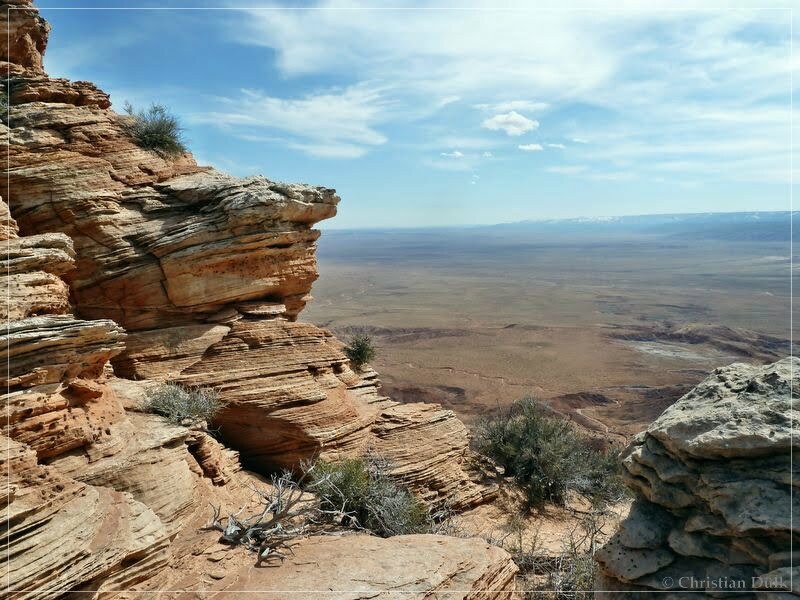
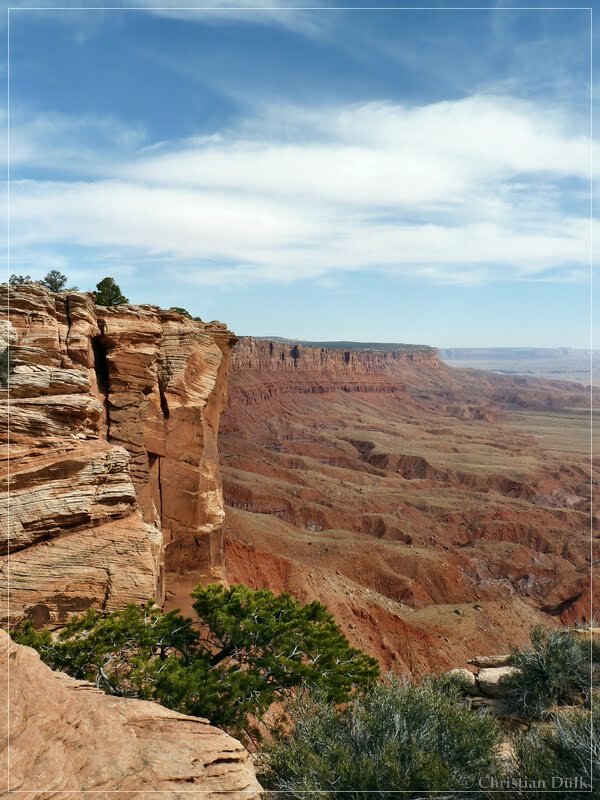
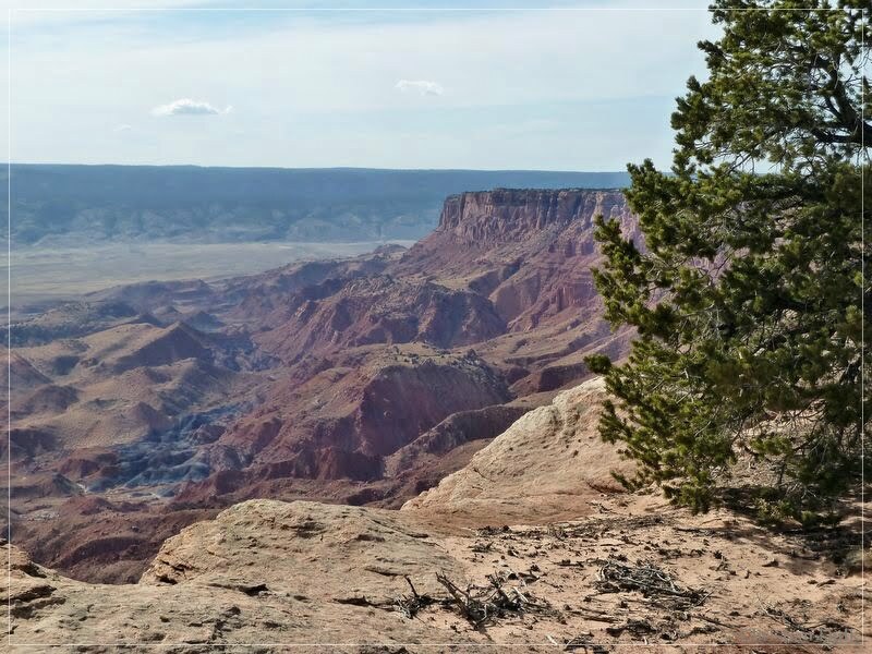
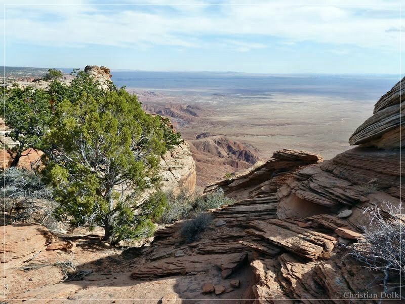
Here also one can enjoy incredible views from the Vermilion Cliffs rim:
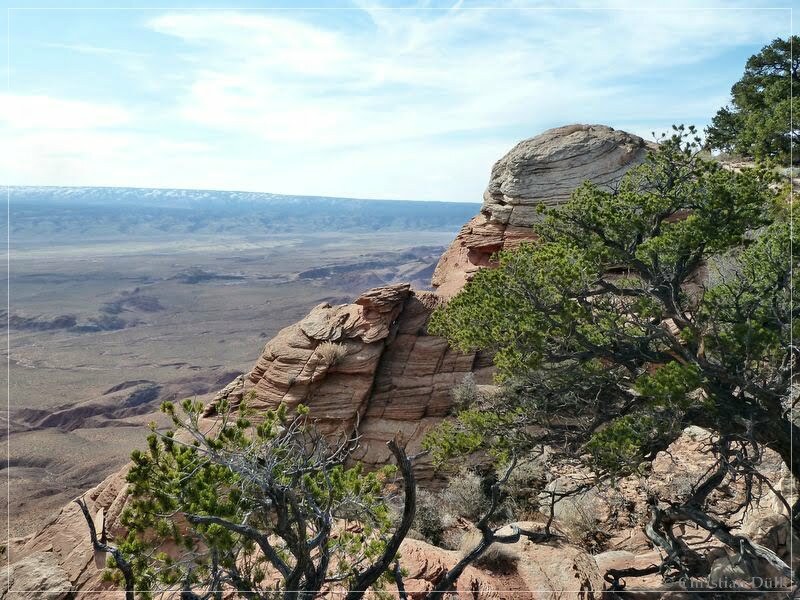
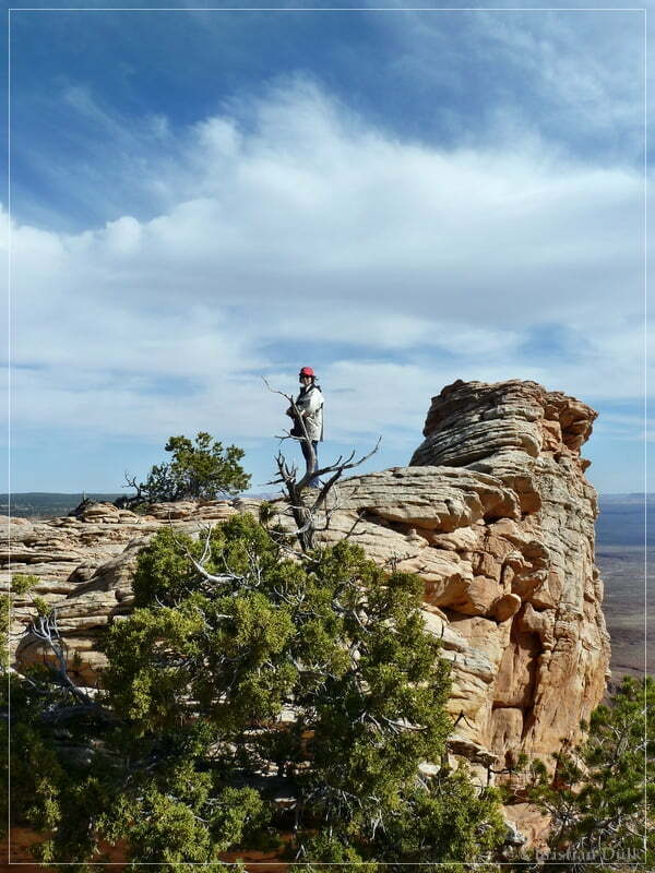
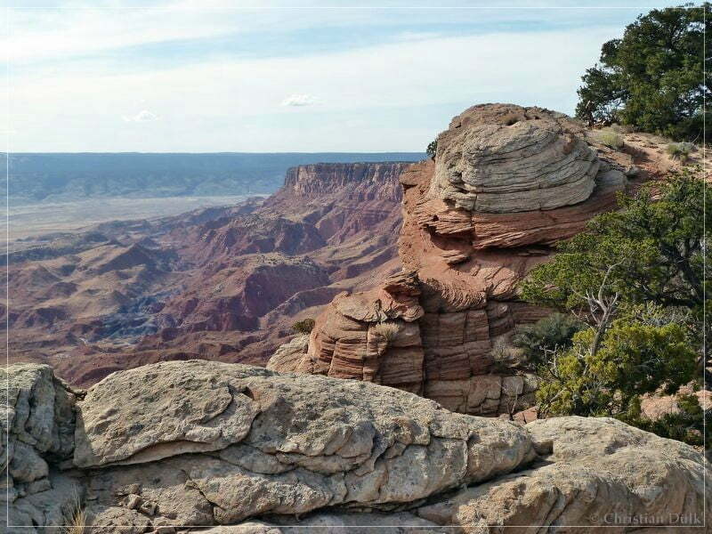
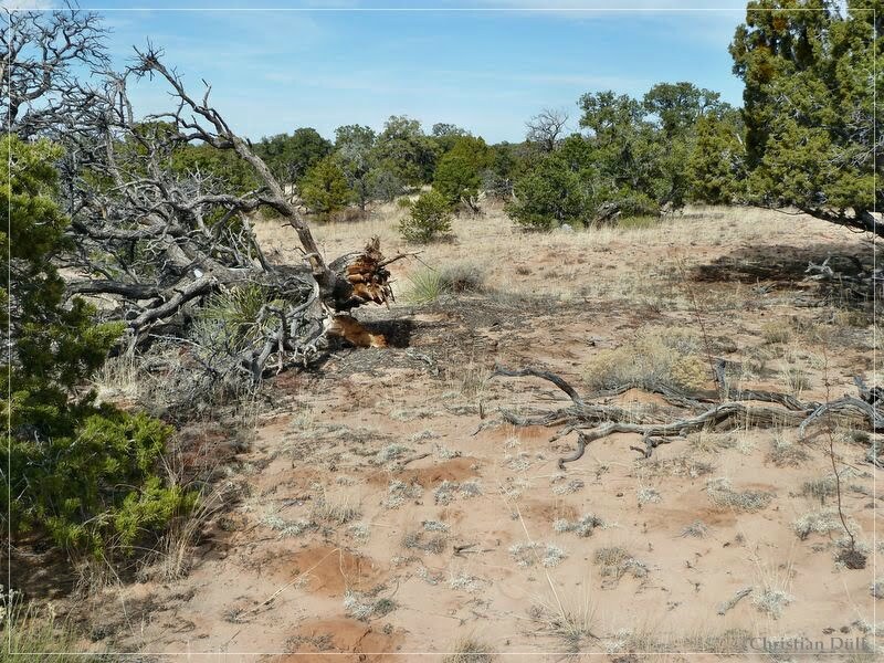
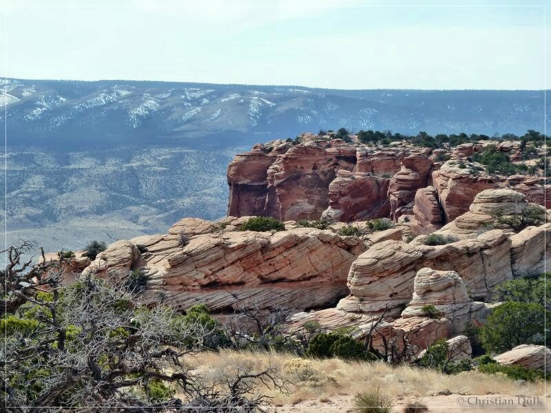
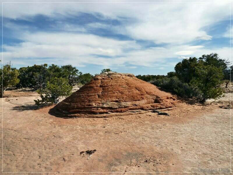
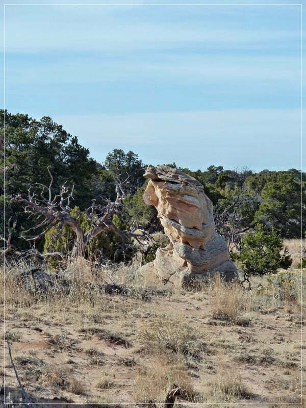
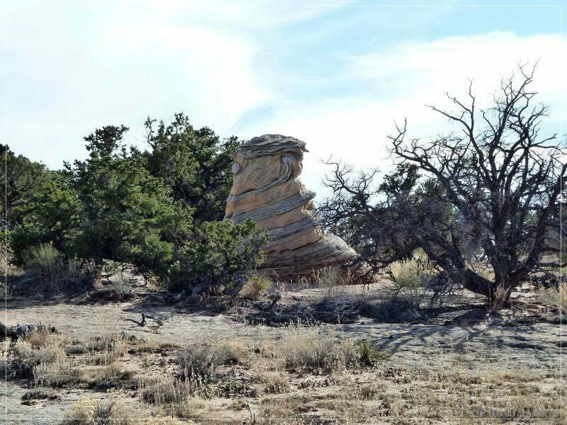
On our way back to the jeep we saw some quite interesting sculptures:
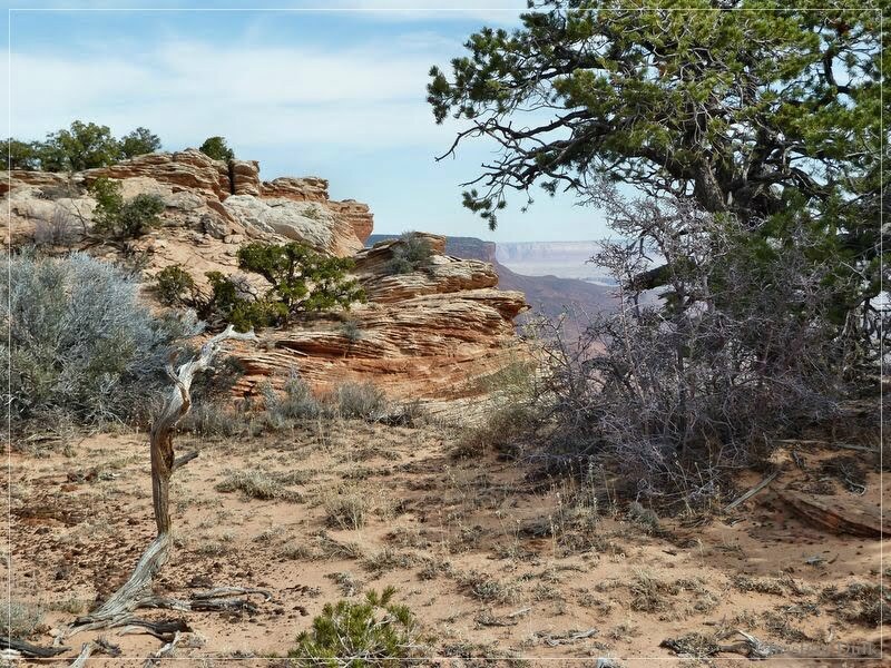
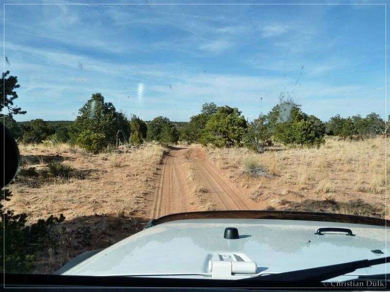
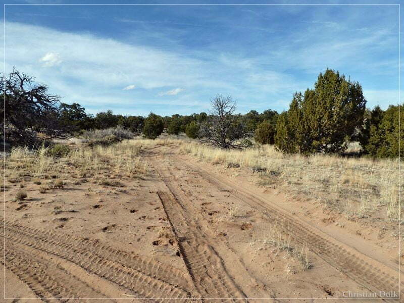
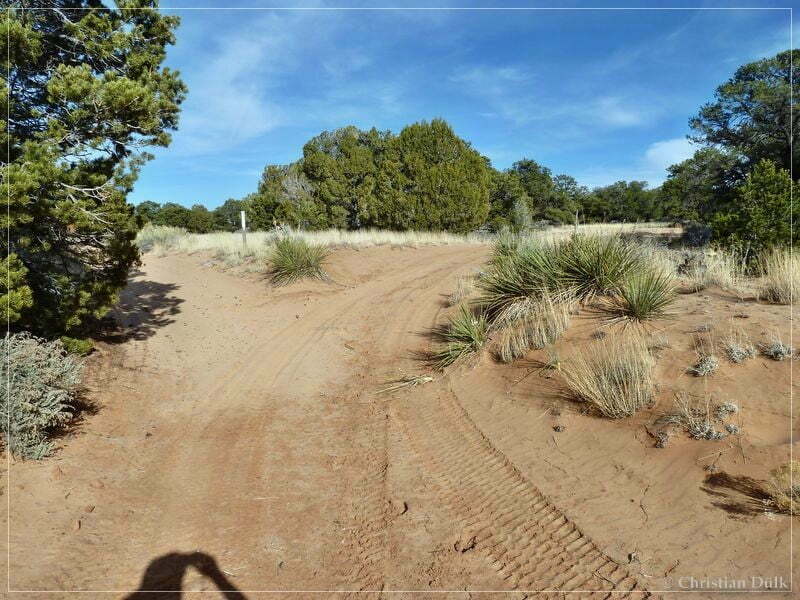
On our way back to the ‘south route’ we have taken some more shots of the trail:
At this point the easier version goes straight ahead:
We went back the left fork:
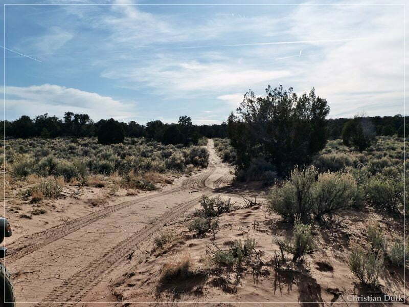
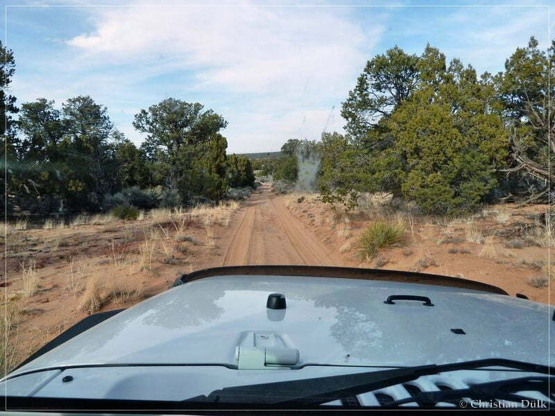
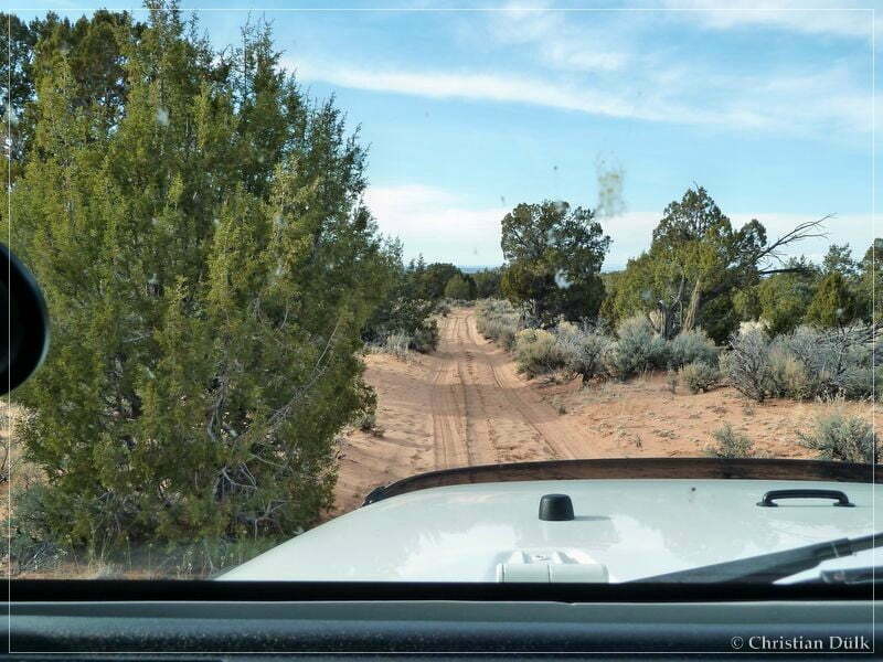
Soon we were back on the ‘south route’ and go to the right at Jim´s Tank to go down to Pine Tree Road.The following pictures were taken along the route, coming from One Toe Ridge:
We are soon reaching Pine Tree Road and drive back to House Rock Valley Road.
The pictures on this webpage contain the gps positions, where they were taken, in the exif data.
Overall this was, compared to 2010, a absolutely wonderful trip with an easy trail and with great views from the rim of the Vermilion Cliffs.
For a better orientation, one can downlload a gpx file of this trip:
Tracklog: One Toe Ridge and Bonal Springs Rim, Vermilion Cliffs NM (789 downloads )
And here is an overview of the area, we visited: