While Astrid went with our friends to the Lake Henshaw Mine to dig for tourmalines, Jerry and I decided to do a trip along Coyote Creek in Anza Borrego SP.
The colleagues haven been quite often in Coyote Creek for camping and relaxing. From there a moderate rated trail should lead up to higher elevation. As Jerry told me, that he was never up there, we decided to give it a try.
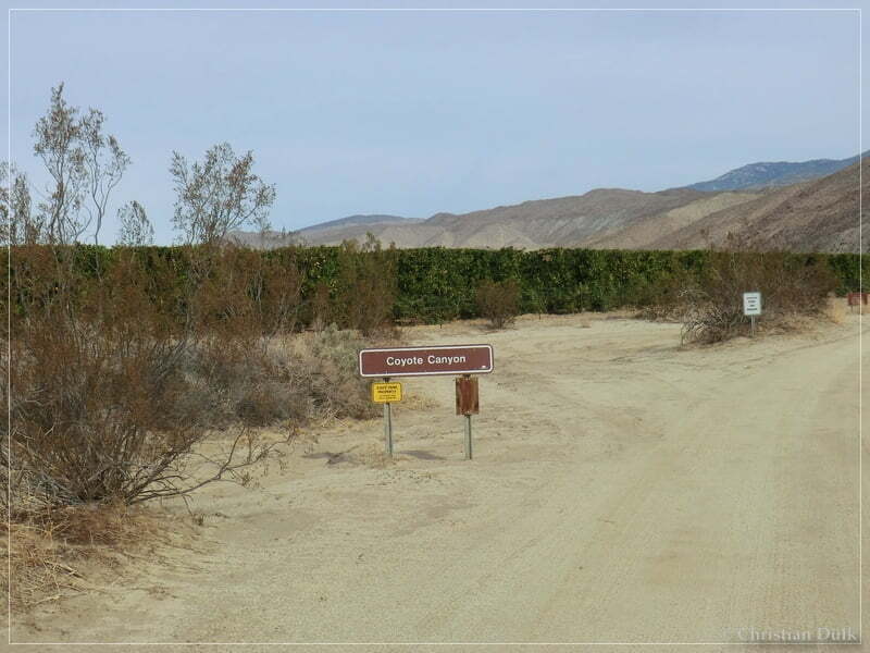
From Borrego Springs, CA we drove on Di Giorgo Road towards Coyote Creek.
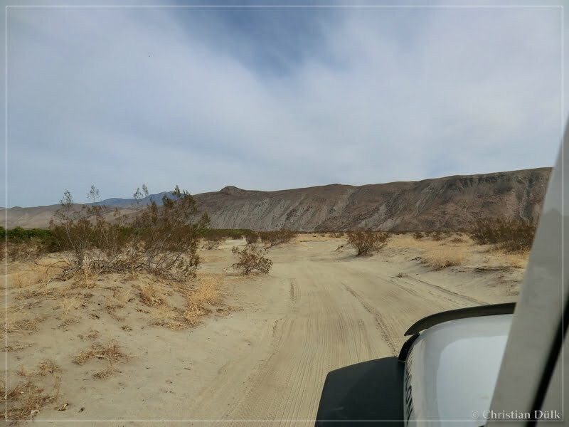
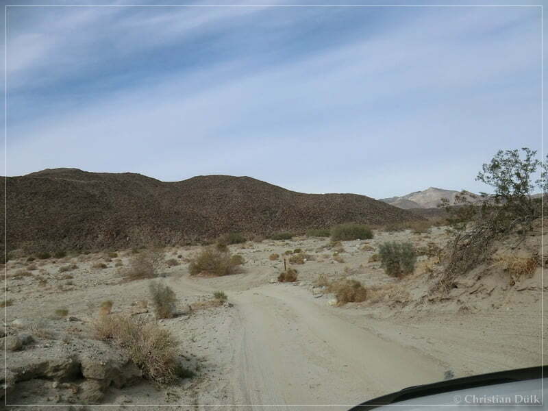
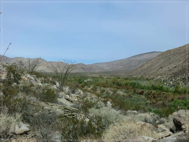
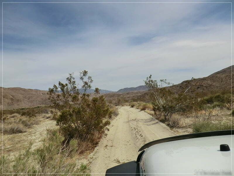
An easy and sandy trail guided us along Coyote Creek.
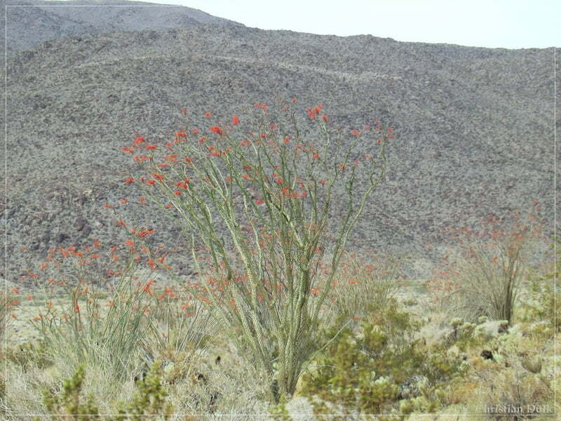
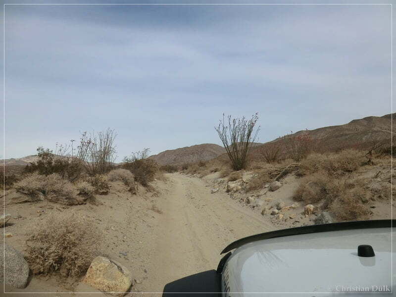
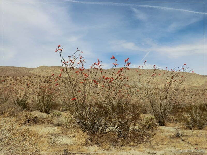
The Ocotillos were looking pretty neat:
We continued on that sandy trail…..
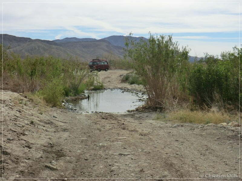
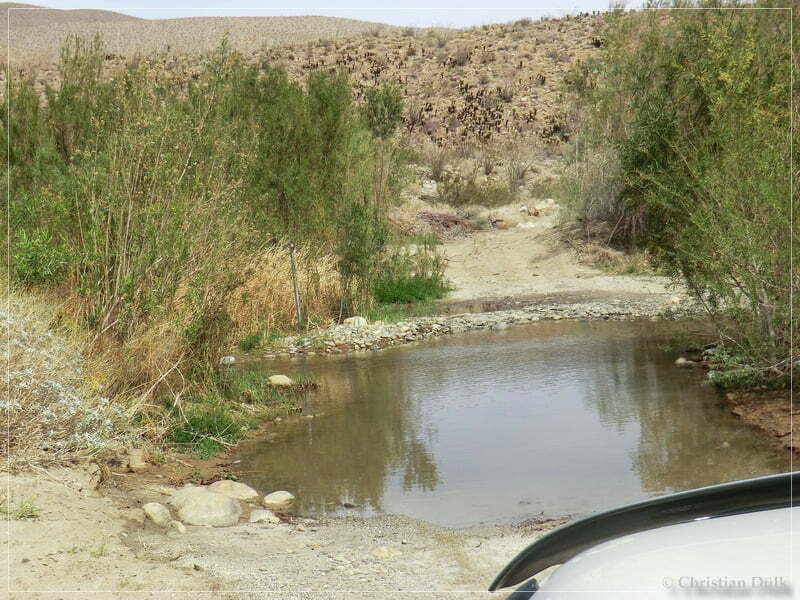
…until we reached a creek crossing. The water level was pretty low.
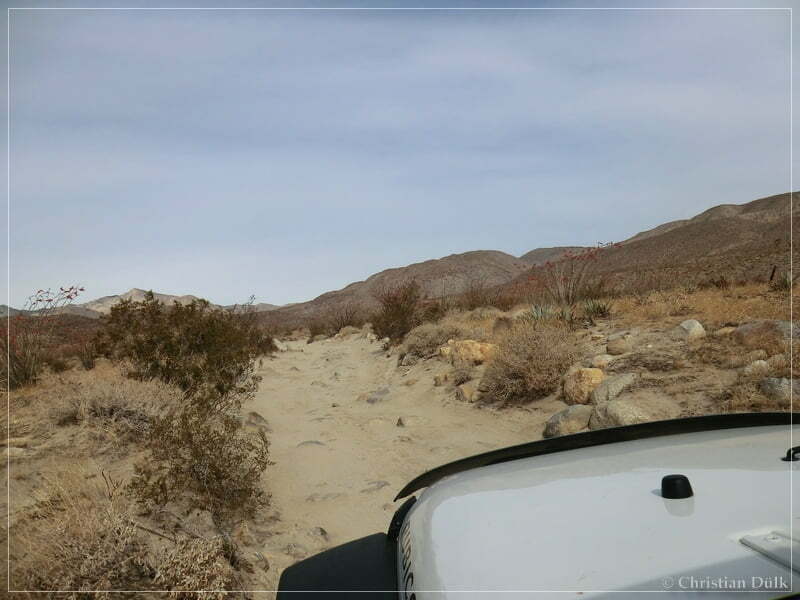
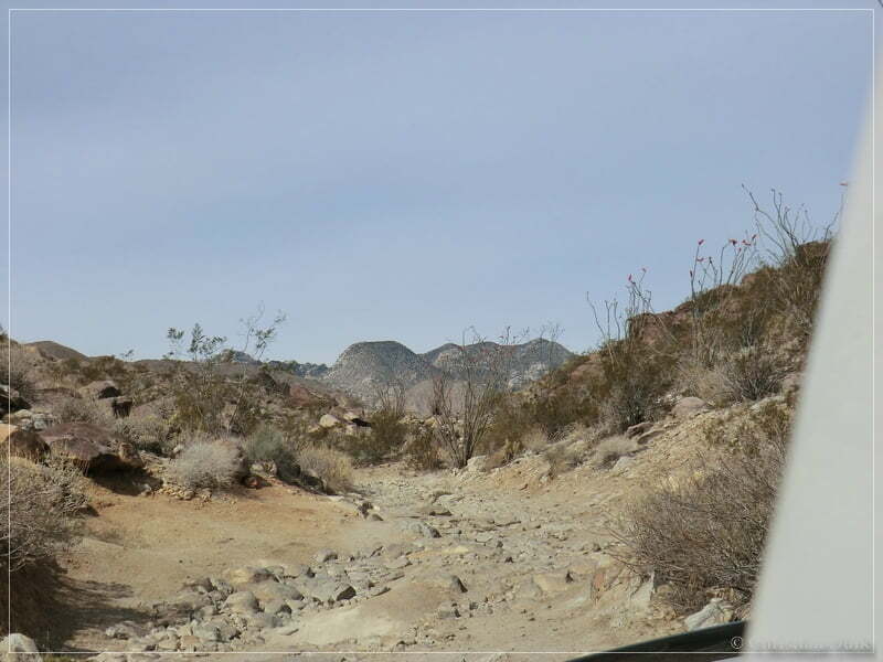
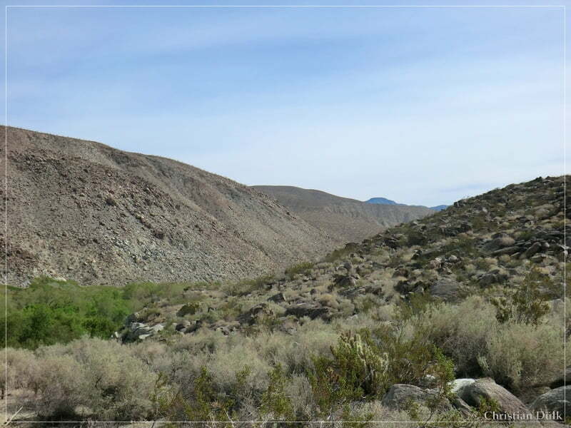
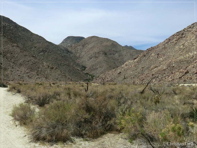
We went further into Coyote Canyon:
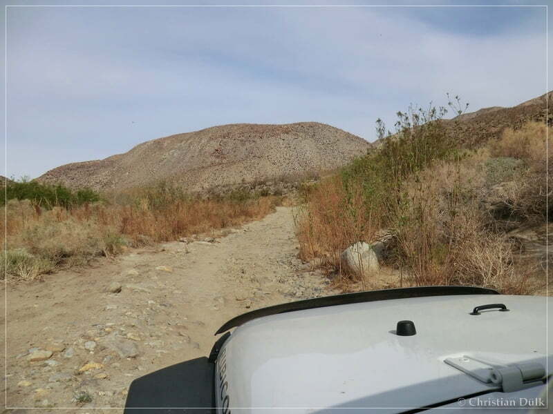
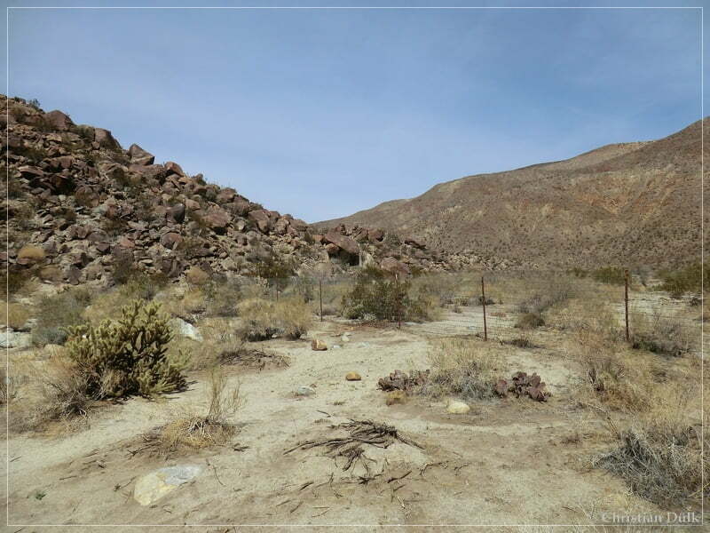
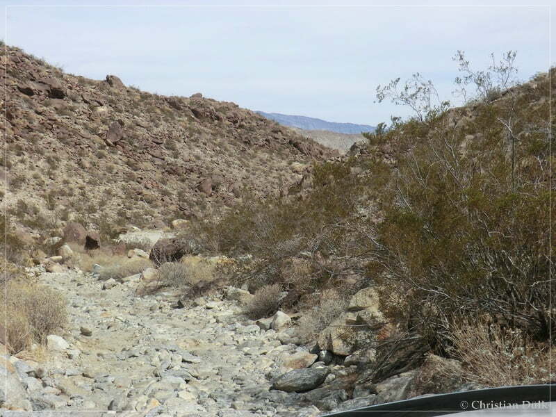
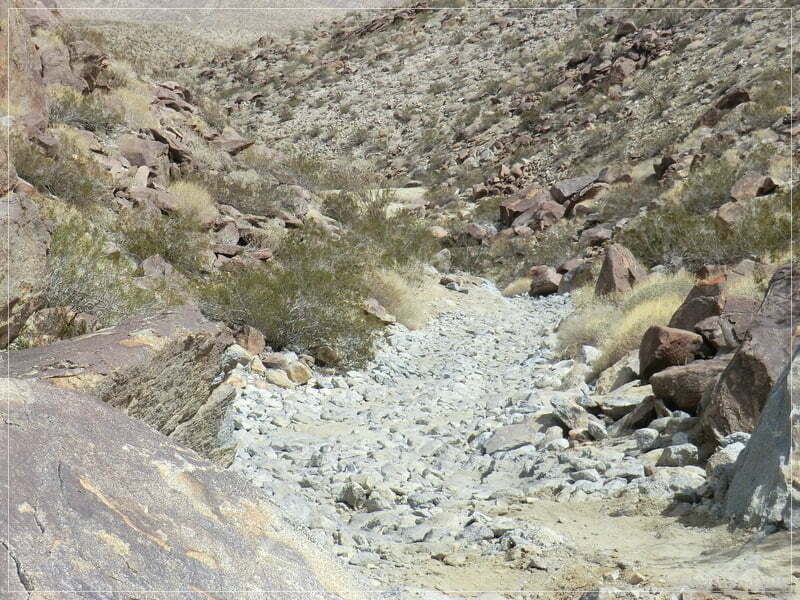
At 11S 55372X 369242X (UTM/NAD27) is a parking spot, where most of the people leave there vehicle to hike up into Collins Valley. But we wanted to go up with the Jeep. It was very surprising, that the trail was softened down a lot and there were unfortunately no big boulders, which were promised by Jerry.
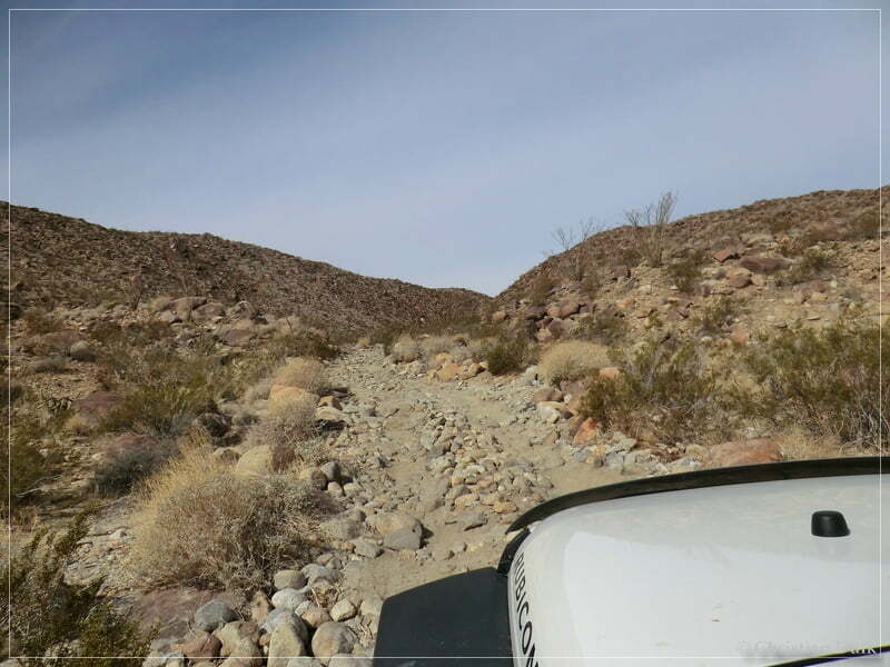
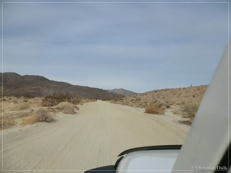
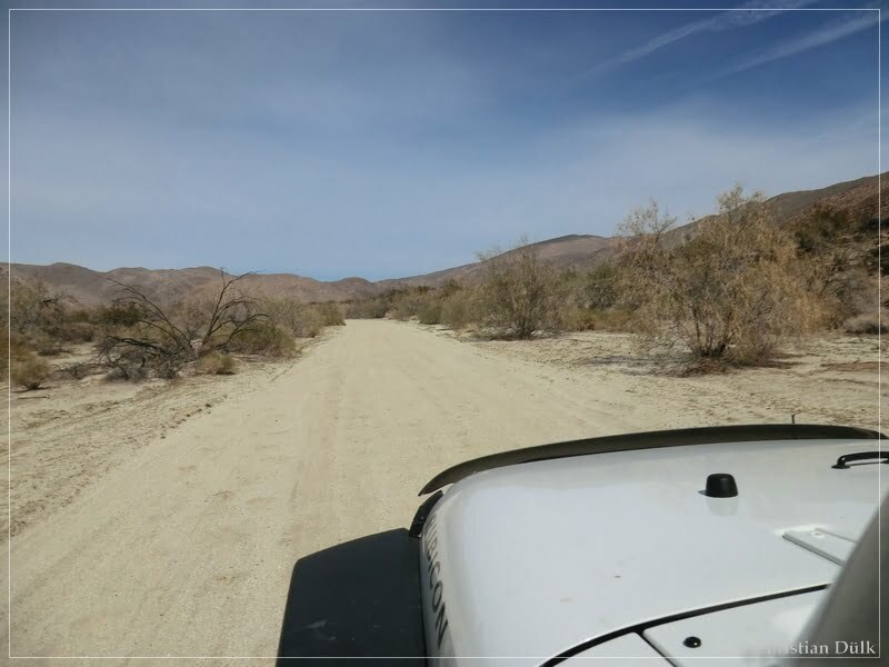
This trail was pretty easy to drive and it seems, that it lost it´s character.
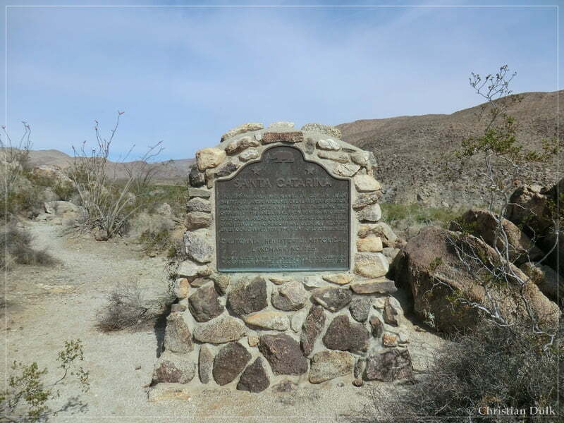
At 11S 55217X 369226X is a turnoff to the right, where one can find a historical marker. The gps position of this marker is roughly at 11S 55212X 369245X:
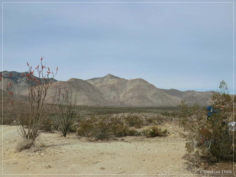
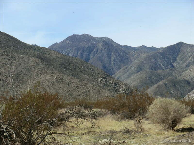
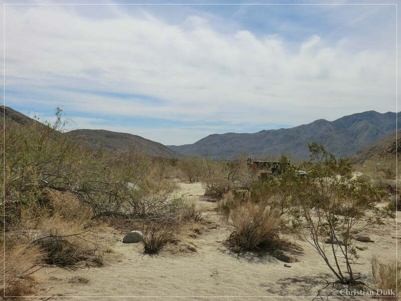
From here we also had a great view down to Lower Willow. There seems to be enough water down there, so that there some kind of a green oasis within the desert.
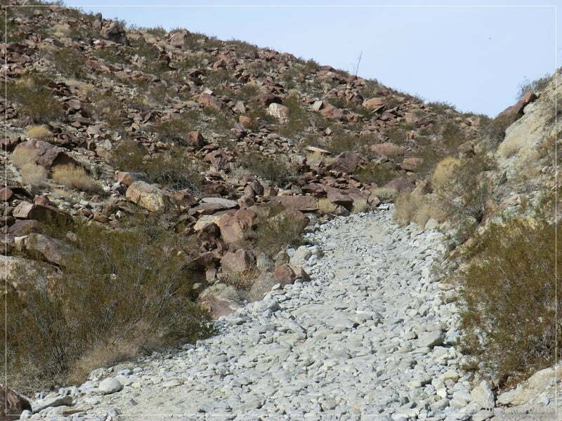
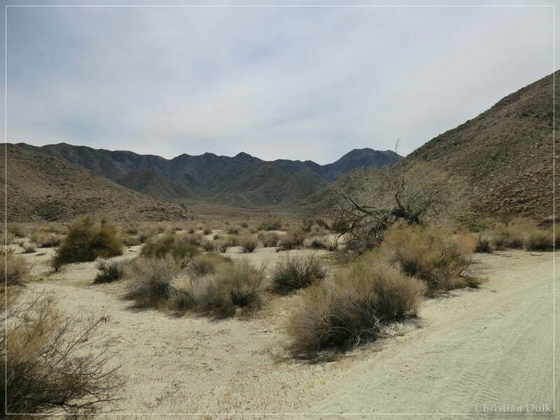
We proceeded on a nce dirtroad.
At 11S 55130X 369269X we followed the signpost towards Middle Willow.
Further on the trail one can reach the trailhead into Salvador Canyon.
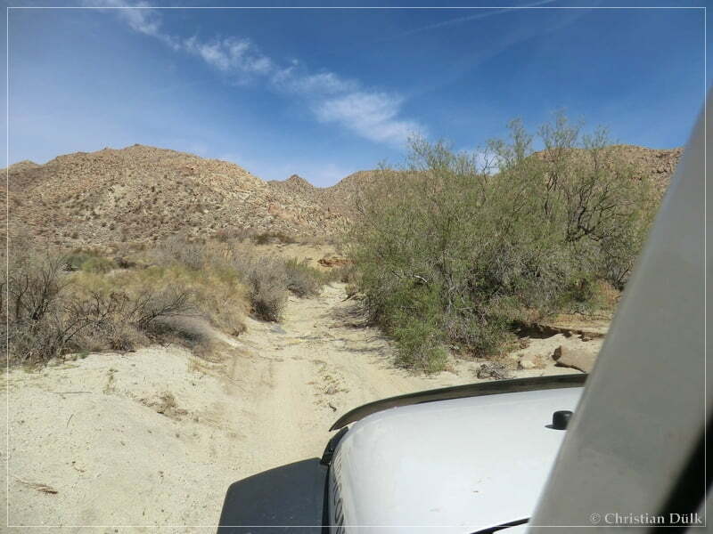
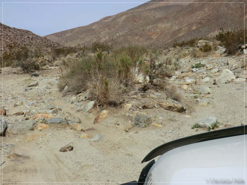
At 11S 54907X 369495X we turned on the trail to Middle Willow.
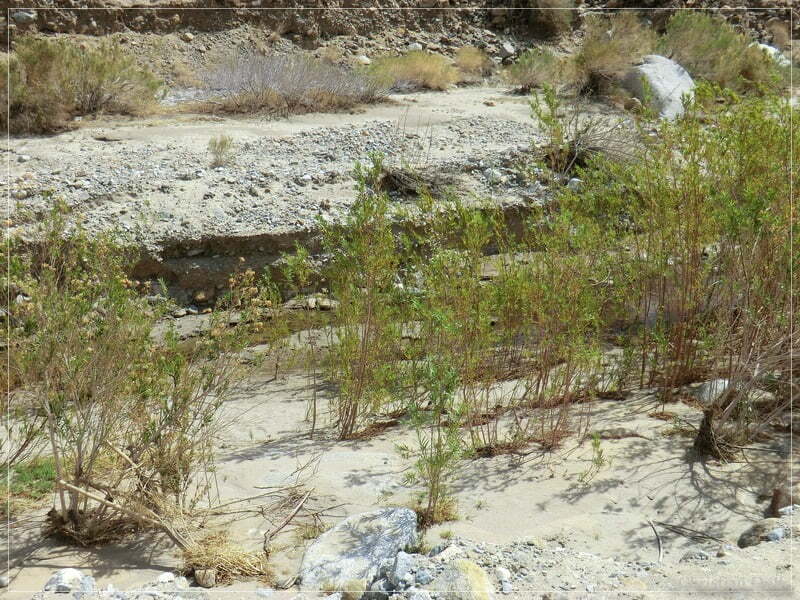
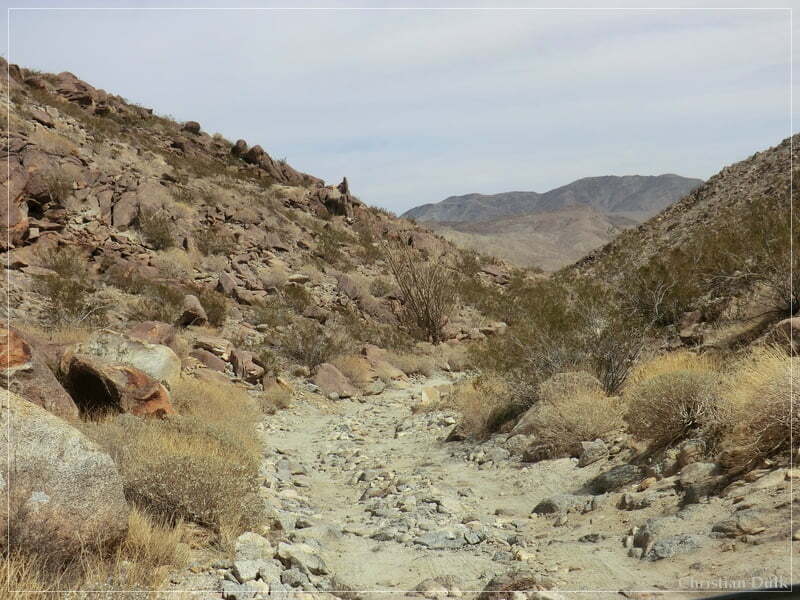
The trail follows a wash…..
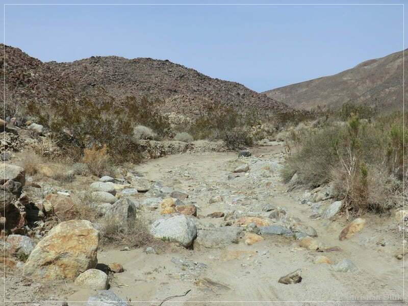
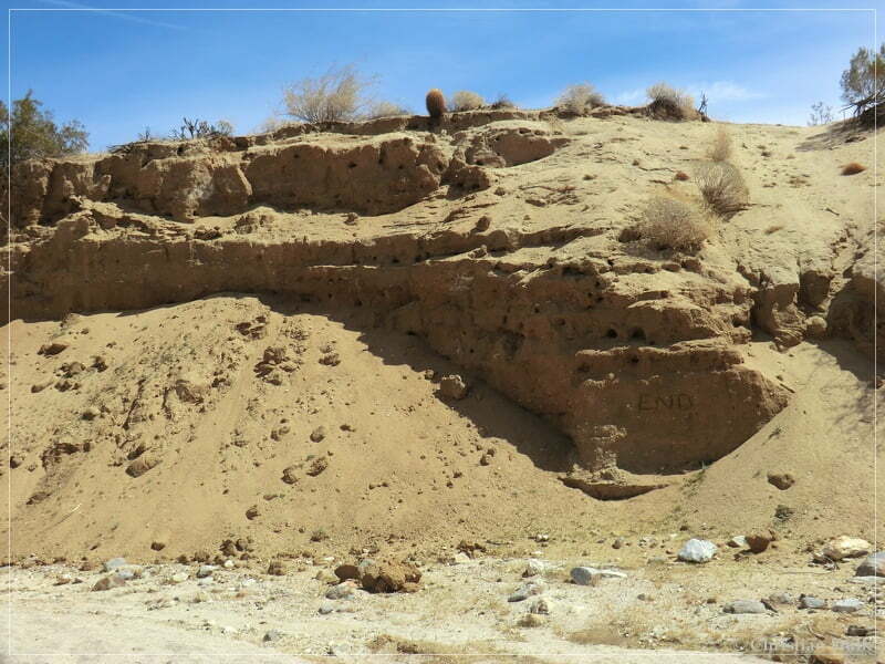
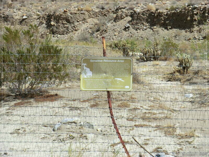
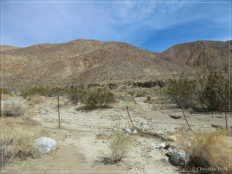
….and ends at a sensitive resource area boundary. The map shows an ongoing trail, but this must have been a long time ago. One has to drive back the way he came in.
After a lunch break, we drove back the wash:
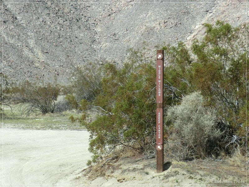
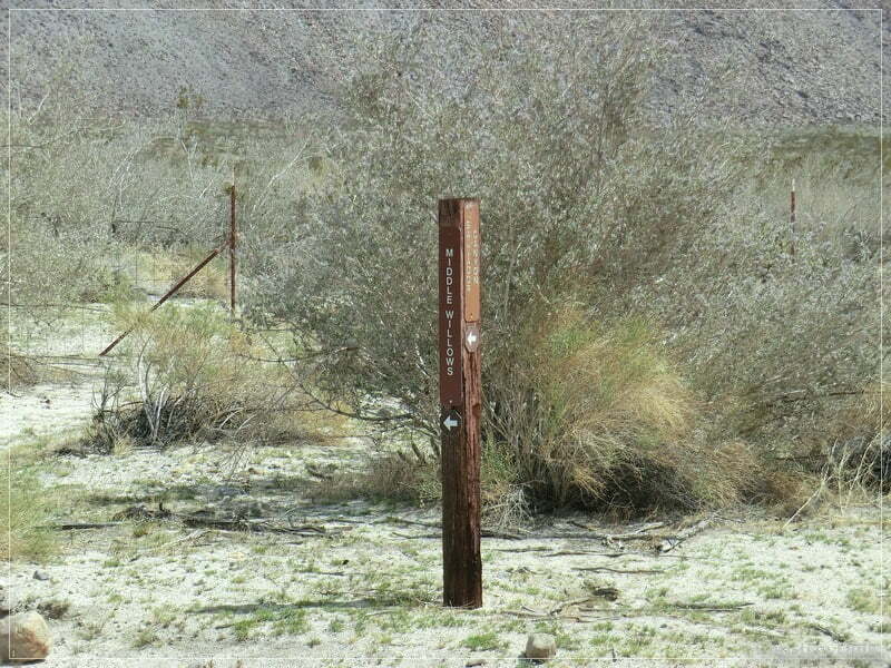
Back on the ‘main road’ we followed the signs to Collins Valley. The following picture shows the signpost for Middle Willow/Salvator Canyon.
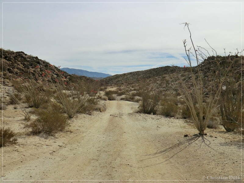
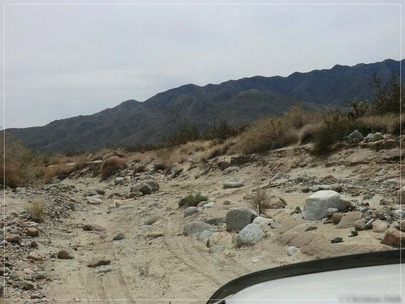
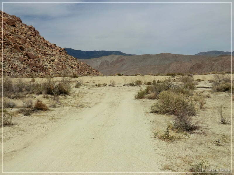
At 11S 54999X 369361X we had choosen the trail to the right, which should bring us towards Sheep Canyon. The following picture shows the trail we had choosen.
This trail ends at a campground at the south fork of Sheep Canyon. After taking a few pictures, we started to head back to Coyote Creek.

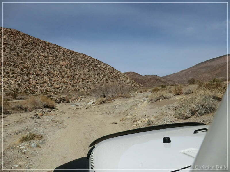
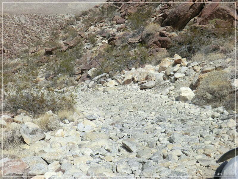
At 11S 54894X 369203X we went right at the fork, as we came in from the left.
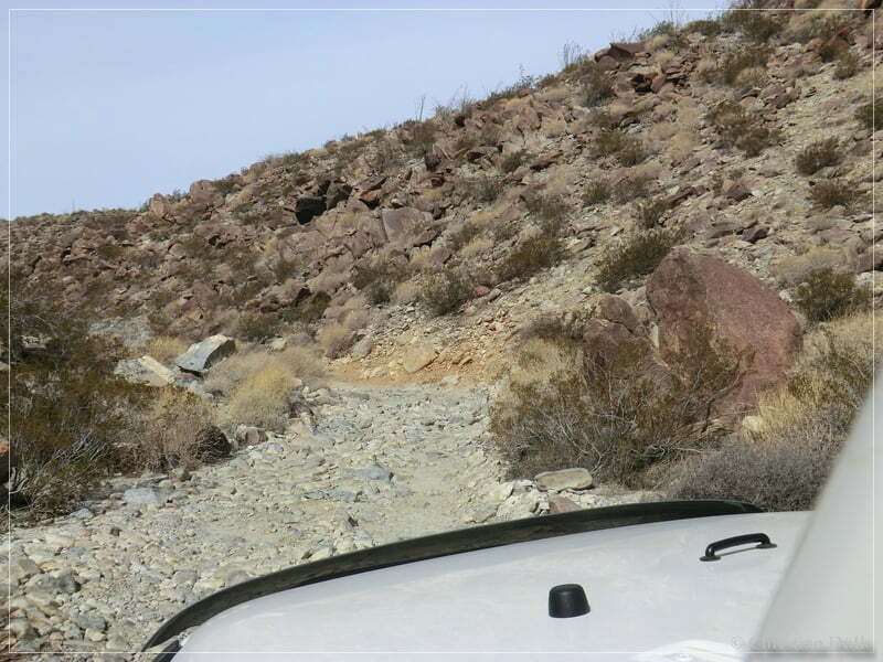
This trail meets the trail down to Coyote Canyon at 11S 55130X 369269X. The following pictures were taken during going down the rough ‘road’:
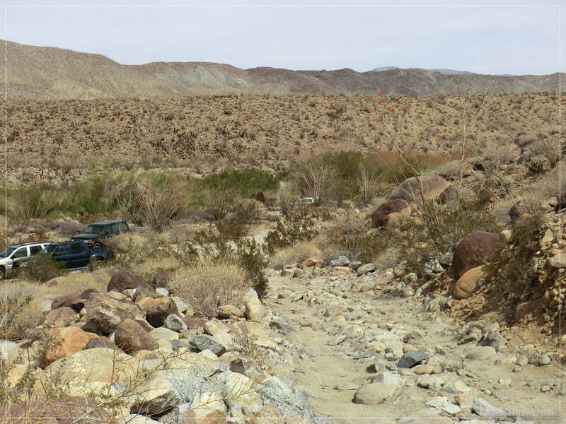
And here the parking area, where most people keep there cars and hike up to Collins Valley:
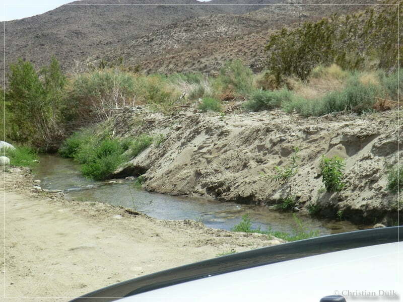
We went back to Borrego Springs and crossed the creek a few times:
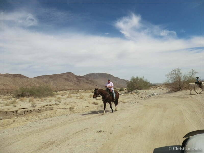
We also saw some horseriders:
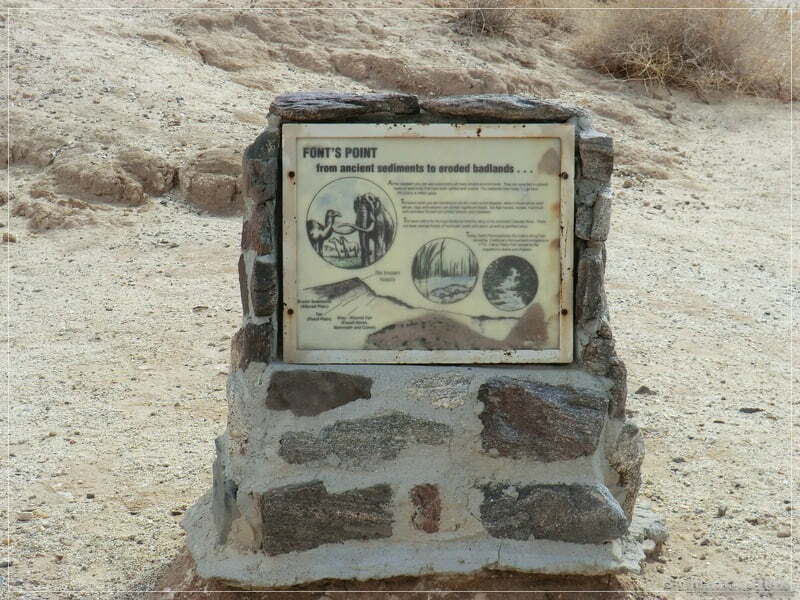
As we were pretty early back in Borrego Springs, we decided to visit Fonts Point. We went on Henderson Canyon Rd., which connected to S22. At 11S 57092X 368498X we reached the turnoff into Fonts Wash. The wash leads up to Fonts Point, were one can enjoy wonderful views over the badlands of the Anza Borrego desert.
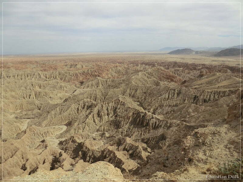
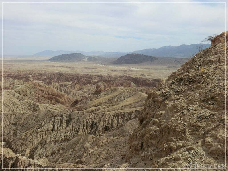
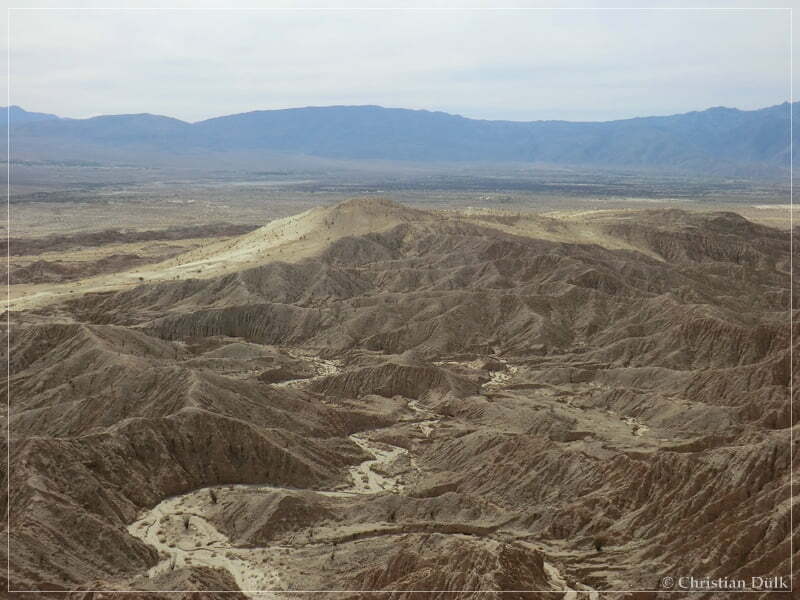
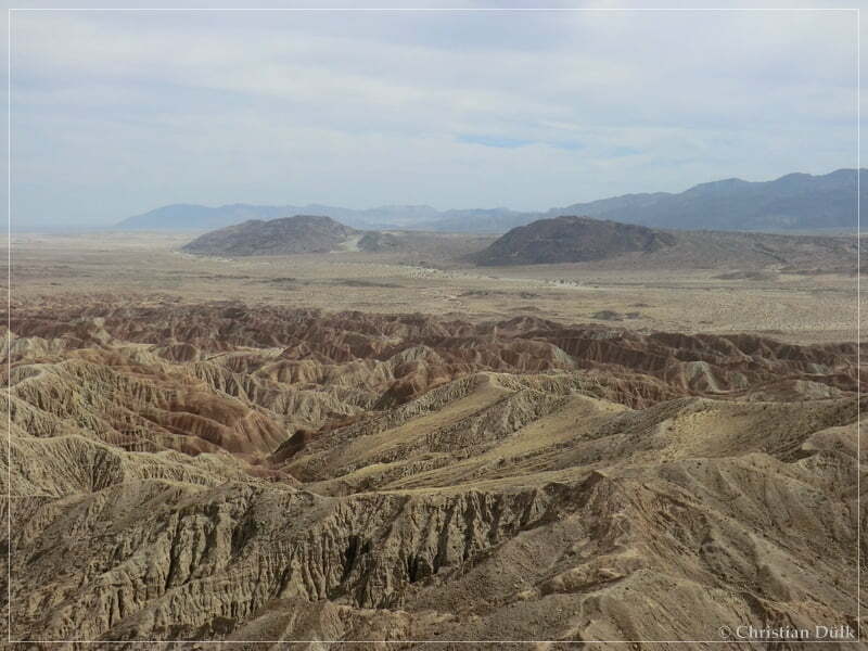
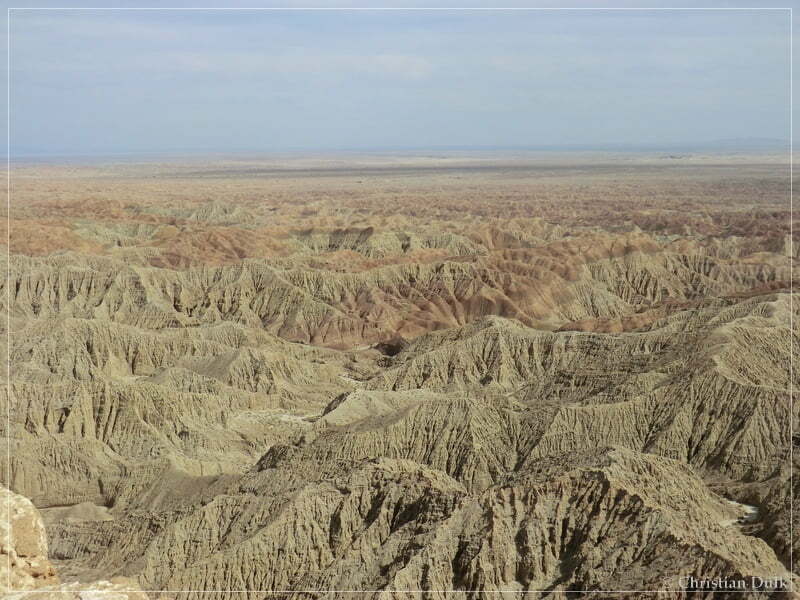
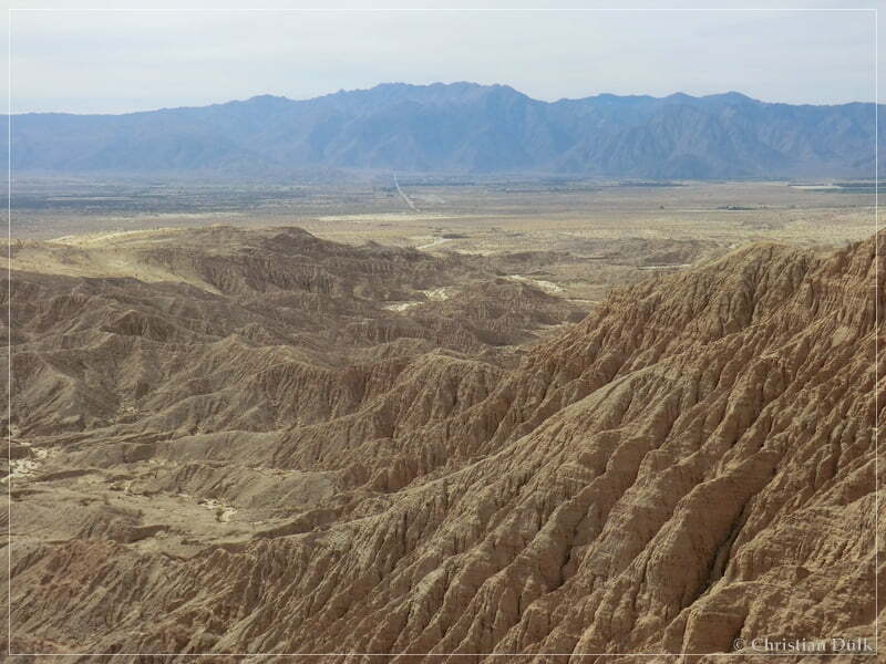
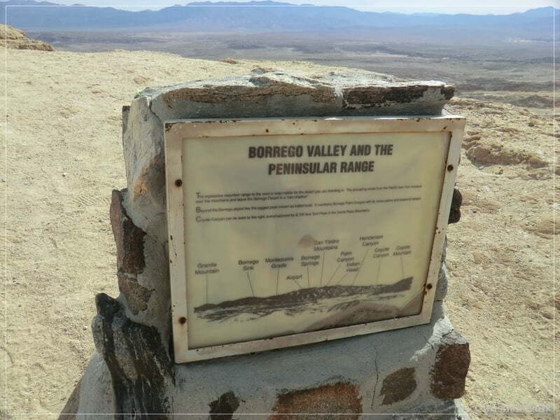
Similar views are possible from the nearby Vista Del Malpais.
Here you are able to download a gpx file of our trip:
Tracklog: Coyote Creek, Anza Borrego SP, CA (589 downloads )
The map gives an overview over the visited region:


