Last year we did this trail on the Bookcliffs first level, starting from Green River, UT and going up via Tusher Canyon. There we saw the upcoming trail from Coal Canyon, which is an old trail and should not always be passable. In Coal Canyon you can find a lot of indian rock art. Detailed information about the rock art spots you can get in the John Wesley Powell River History Museum in Green River, UT.
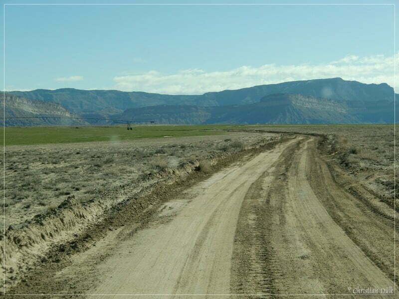
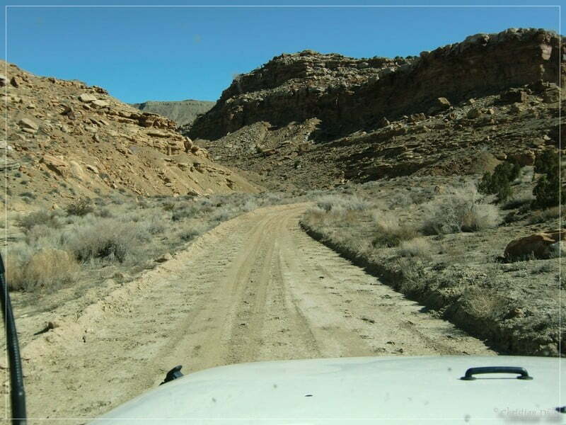
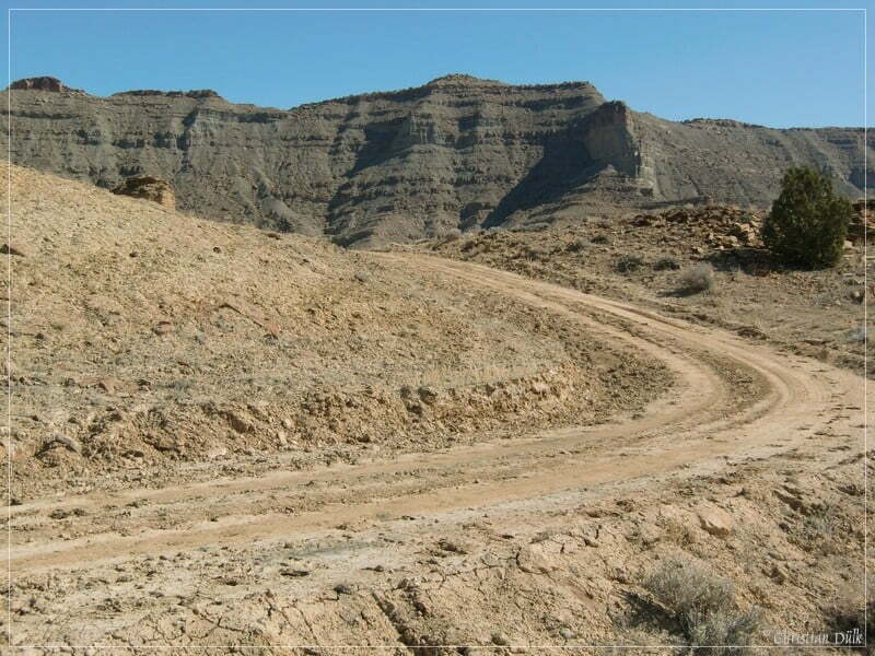
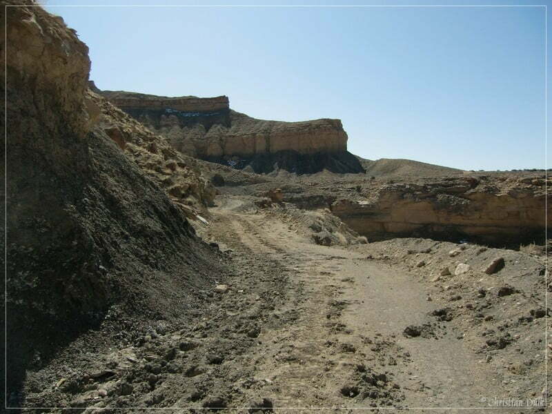
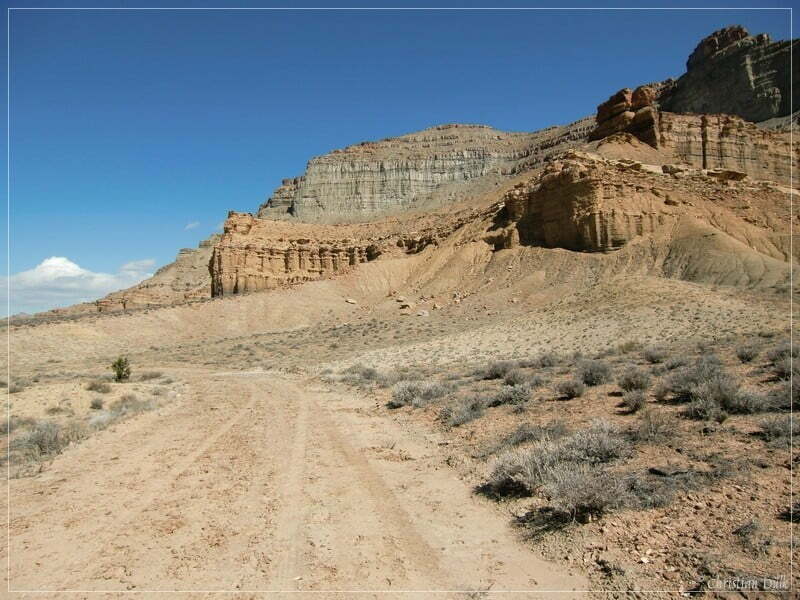
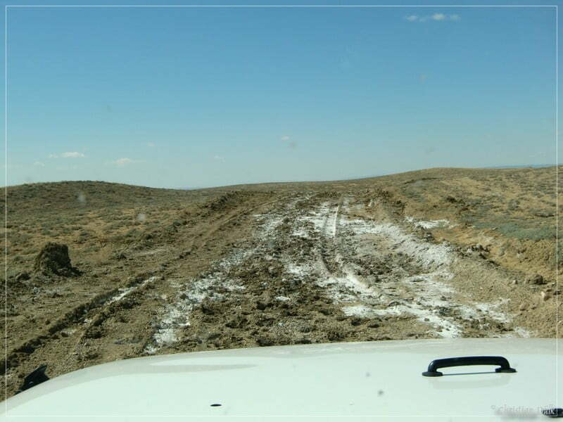
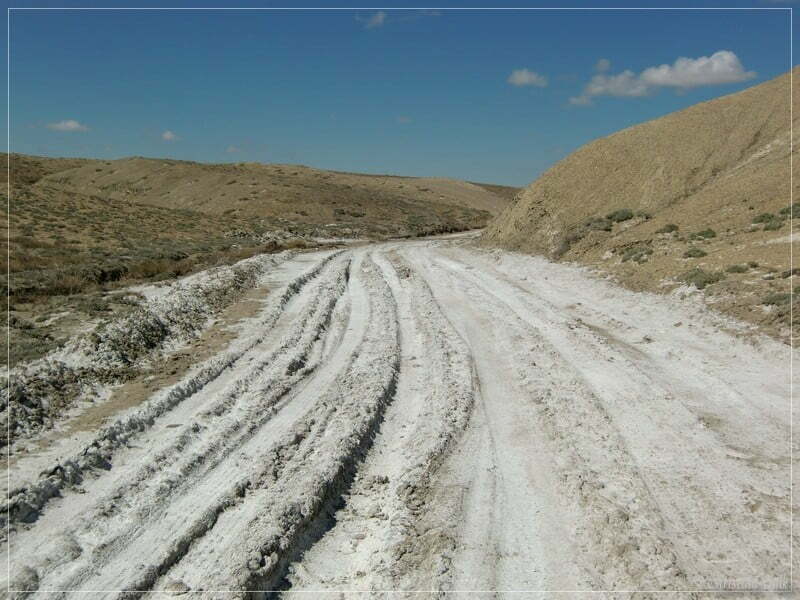
We are starting in Green River, UT on main street and turn left into Hastings Road (after passing Ramada Inn Motel). Shortly after entering Hastings Road we are taking at 12S57505X 431609X (UTM/NAD27) a dirt road to the right. We have to pass a gate and after this gate we are going straight towards Coal Canyon. The following picture shows the trail:
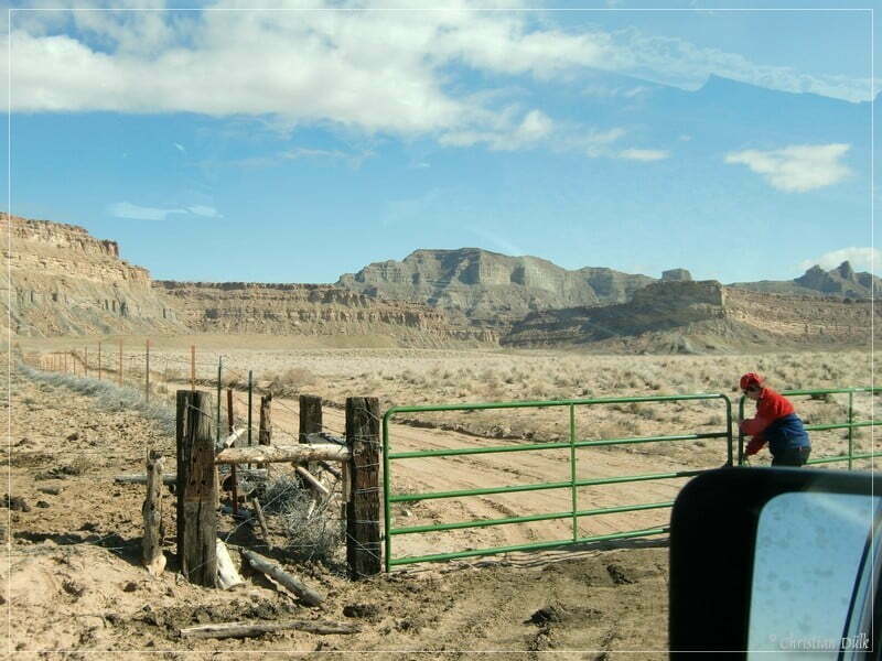
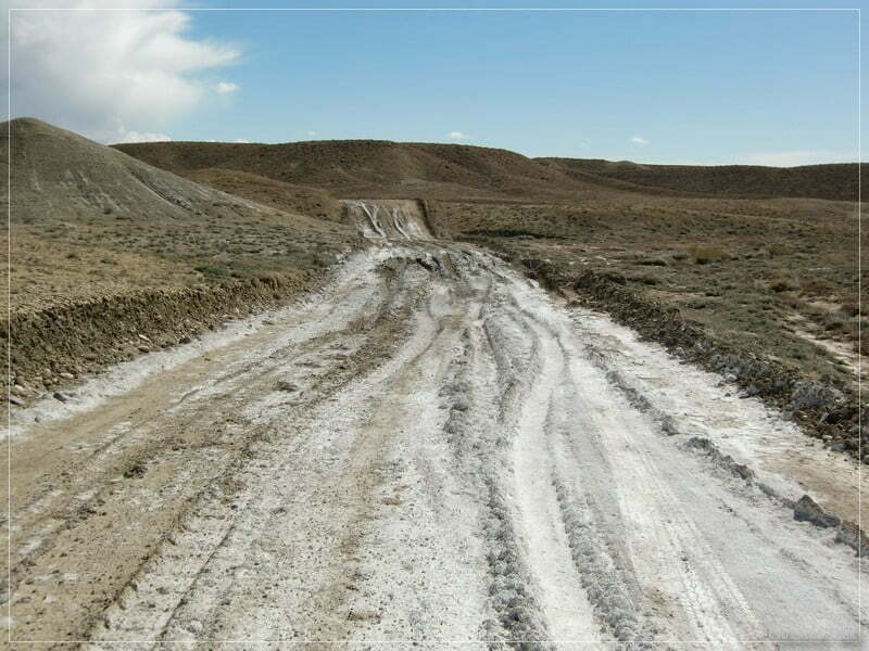
You have to be careful, if there has been rain before or if it seems to rain. The ground is some kind of clay, so that the trail could get impassable. Before we reach Coal Canyon, we have to pass an additional gate.
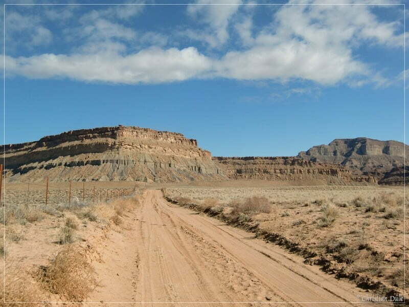
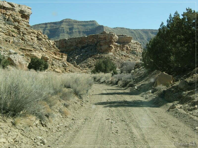
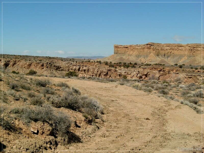
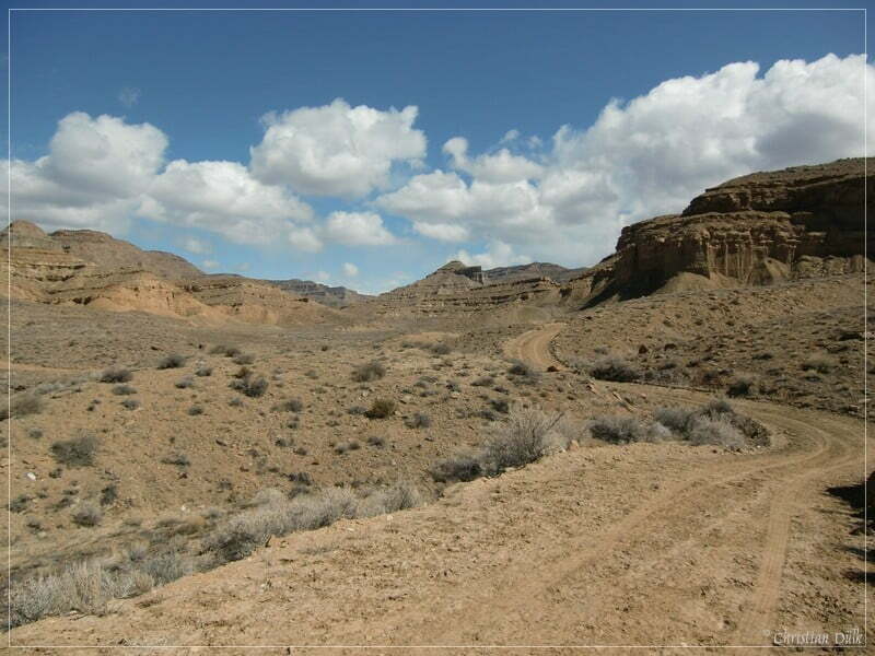
Then we are coming closer and closer to Coal Canyon on an easy sandy trail.
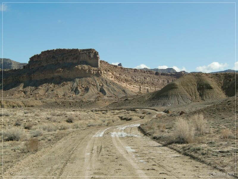
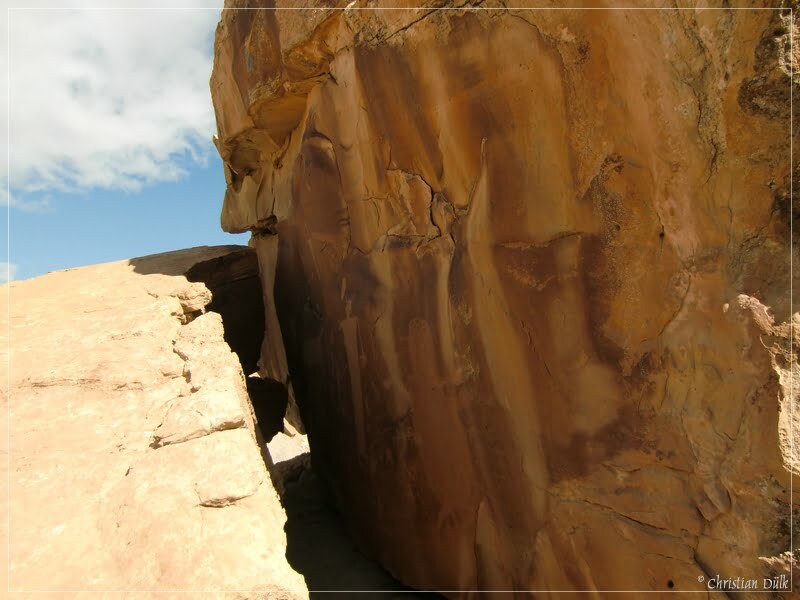
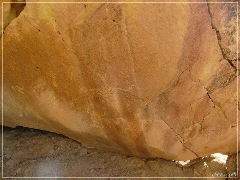
On a very comfortable dirt road we are going forward, before we see a lot of big boulders on a small hill. On this boulders one can find a lot of rock art, mostly on the back side. It is worth to explore the area. There you can even find much more impressive paintings.
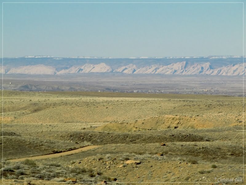
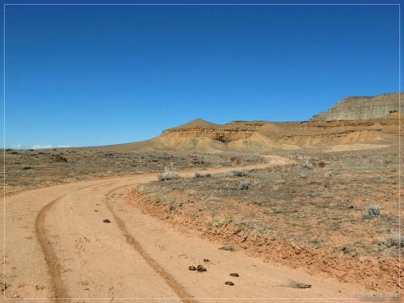
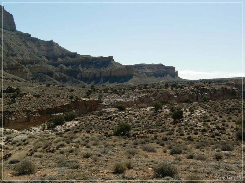
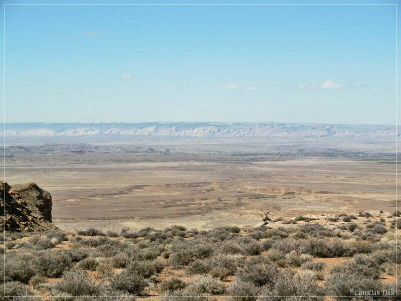
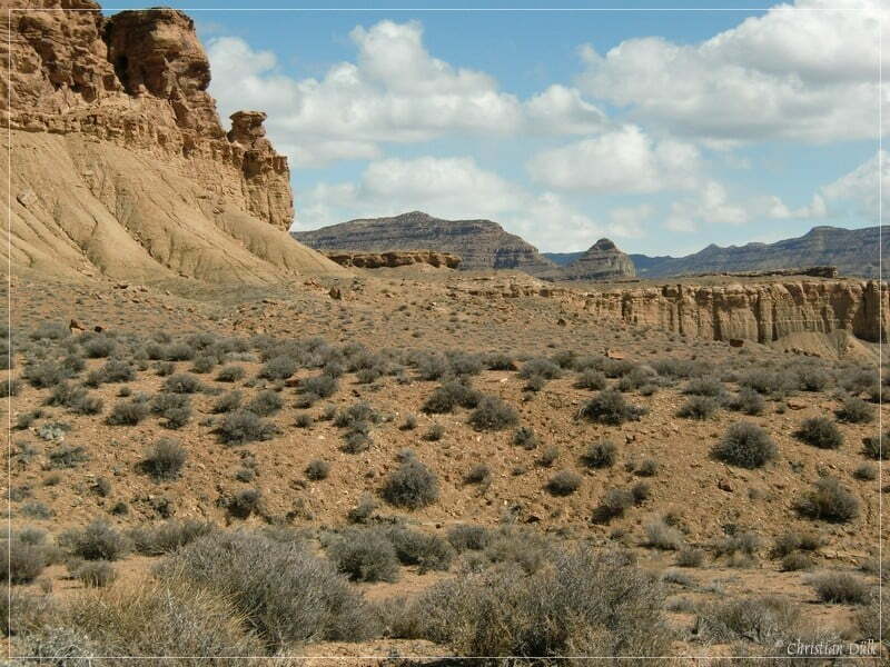
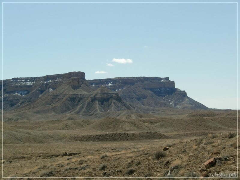
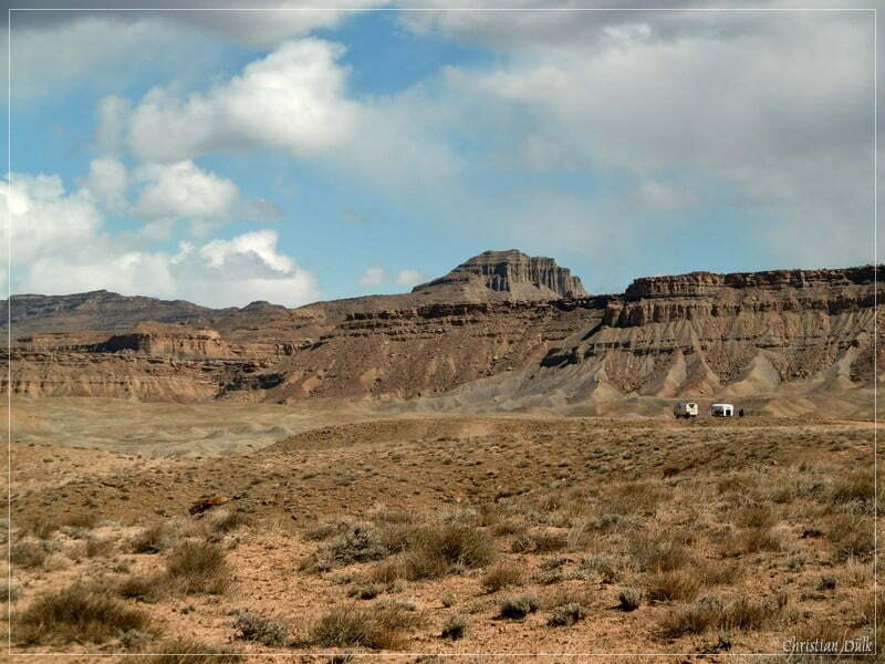
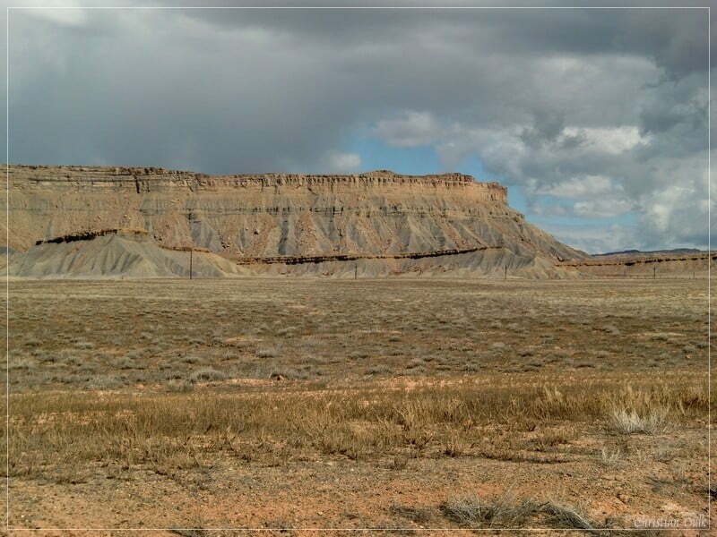
If you are looking back, you will have an excellent view on the San Rafael Reef:
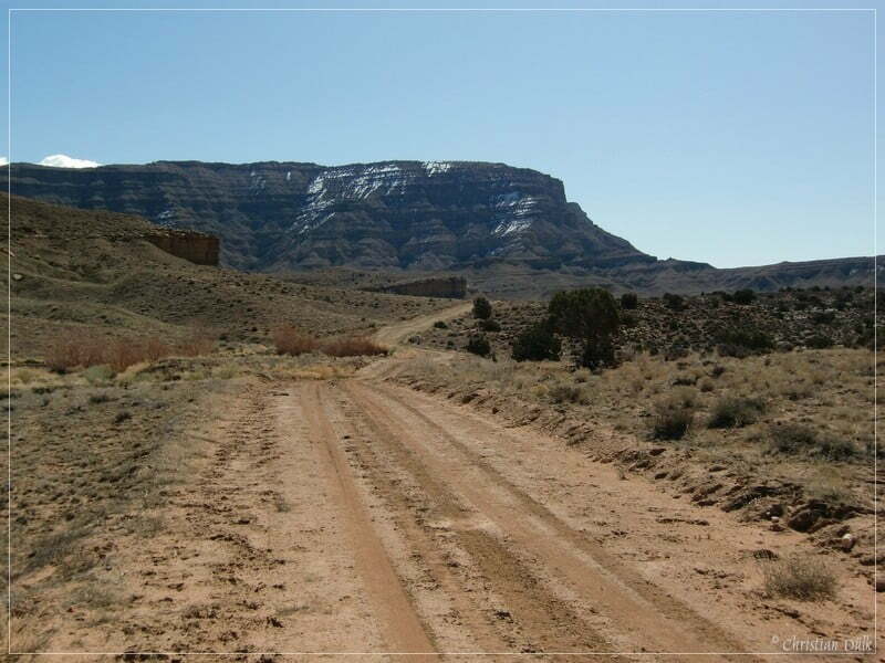
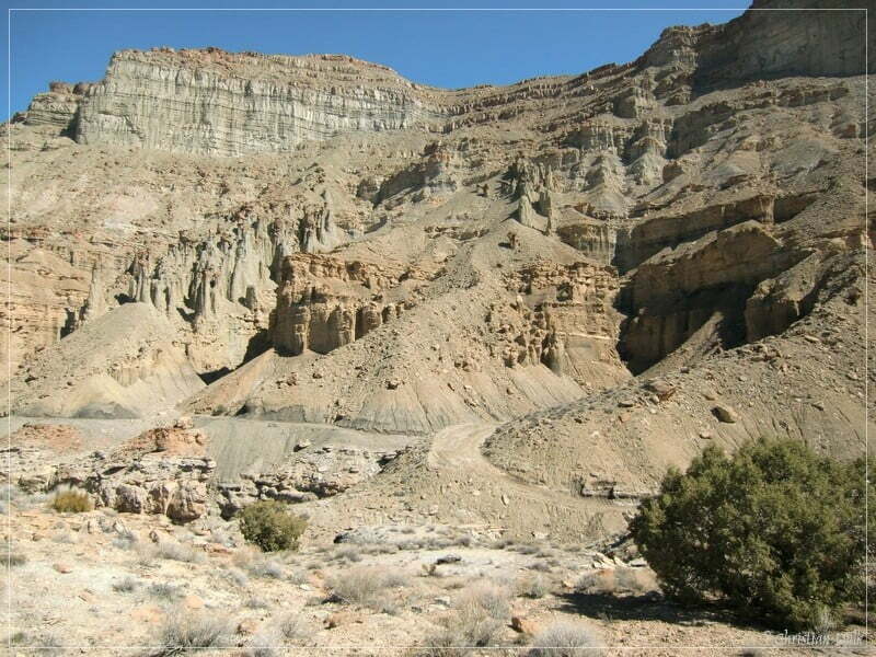
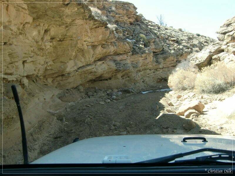
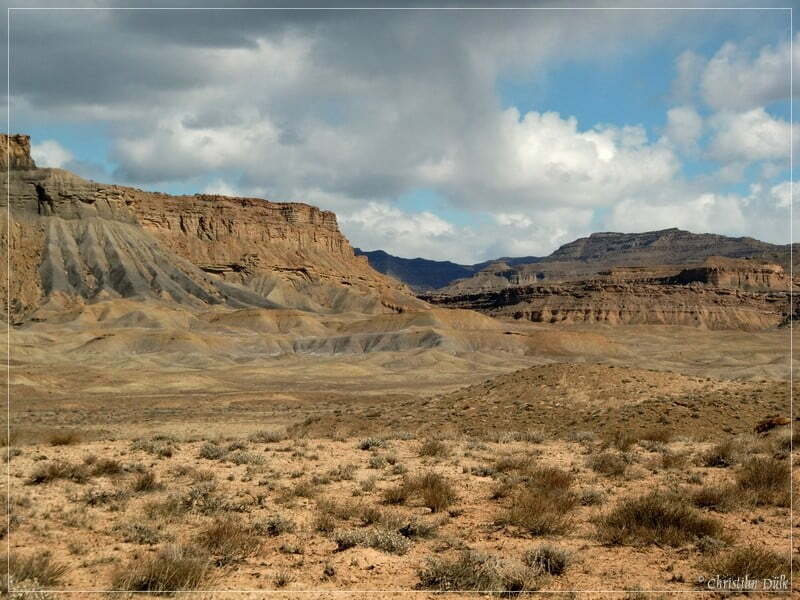
After leaving this rock art spot, we are driving deeper and deeper into Coal Canyon.
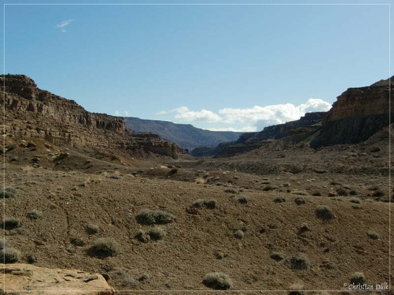
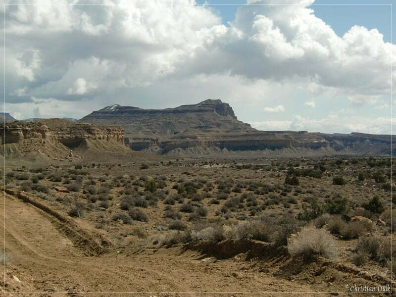
The walls also come closer and closer:
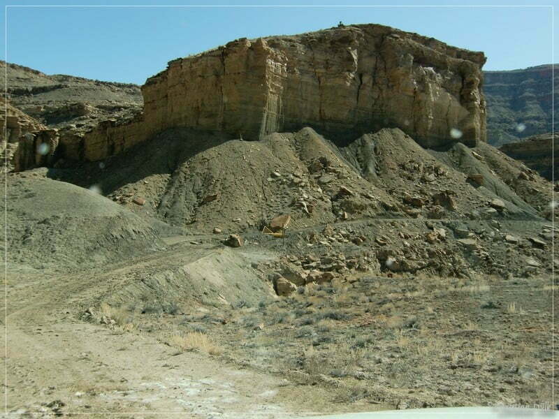
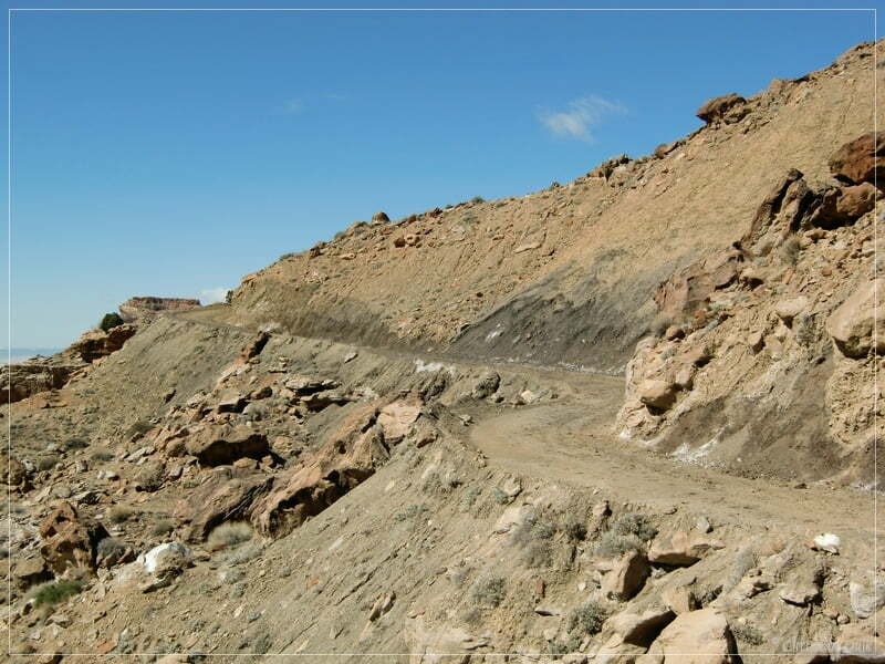
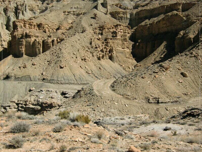
At 12S58630X 432215X you will reach the steep trail out of Coal Canyon and up to the first level of the Bookcliffs. The pictures do not show the real steepness, but this part might be challenging, if there is more of lose rock or if the trail gets wet. If you have a 4WD vehicle, you should not have any problem with this short climb, when the conditions are good.
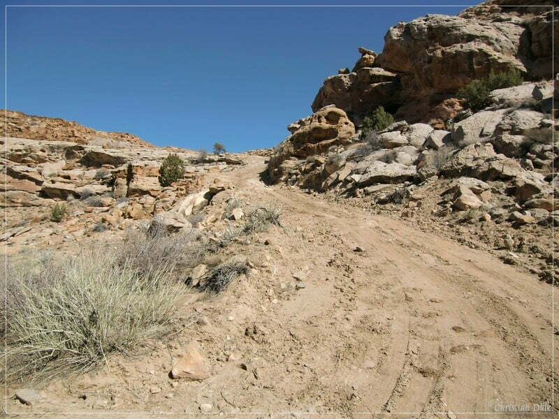
Hier you can see, where you are coming from. The steepest part is in the middle of this climb out of Coal Canyon.
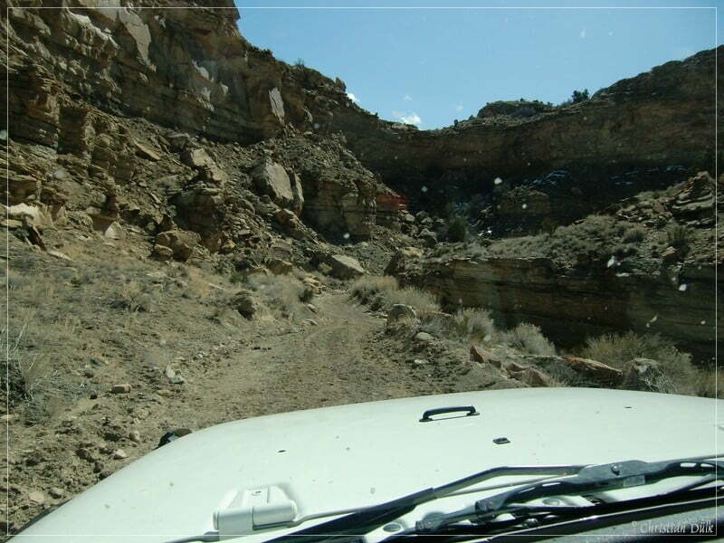
The dirt road now leads to the jeep trail, which comes up from Tusher Canyon. It continues to Horse Canyon, where you can go down from this level to meet an old frontage road, which goes either back to Green River, UT or to the east to a ranch exit of I-70.
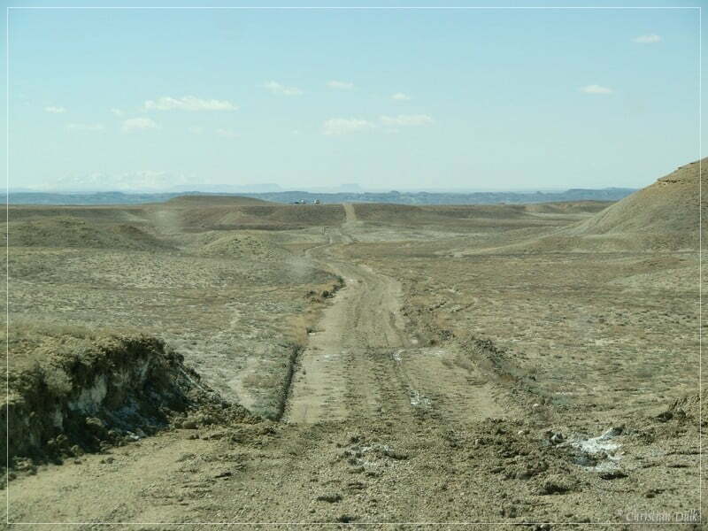
The picture below shows the trail, coming up from Tusher Canyon.
But we are moving into this direction:
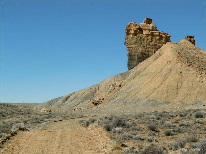
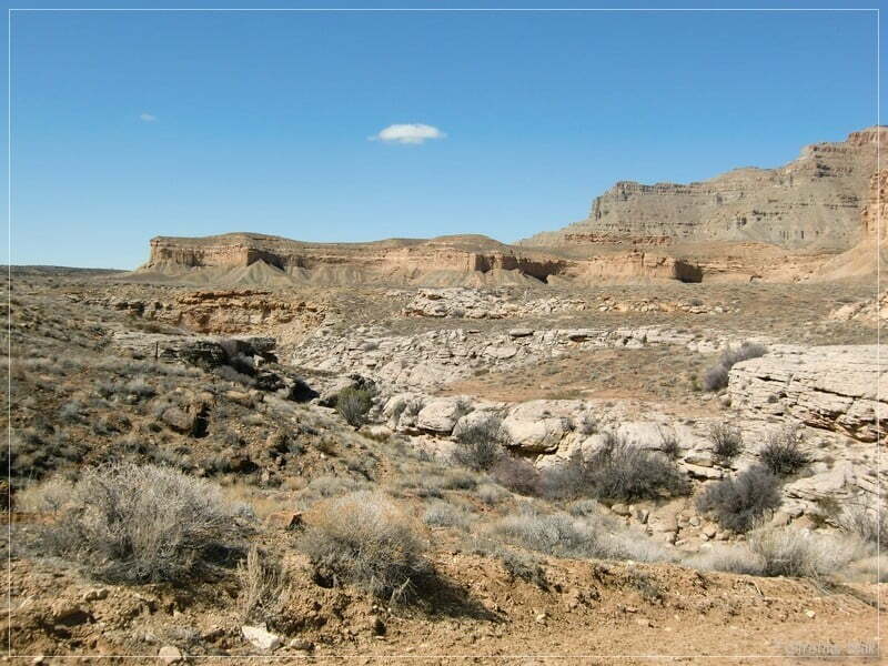
The following pictures show some impressions along the way:
Later the trail gets smaller and is some kind of shelf road. Sometimes its just wide enough for one vehicle, but there are a lot of passing spots.
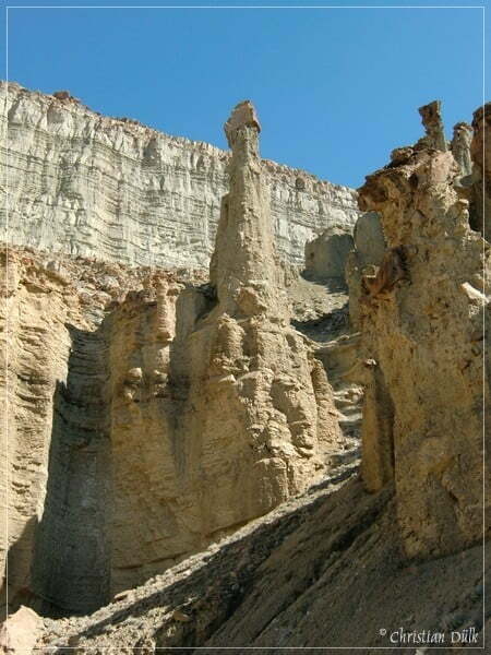
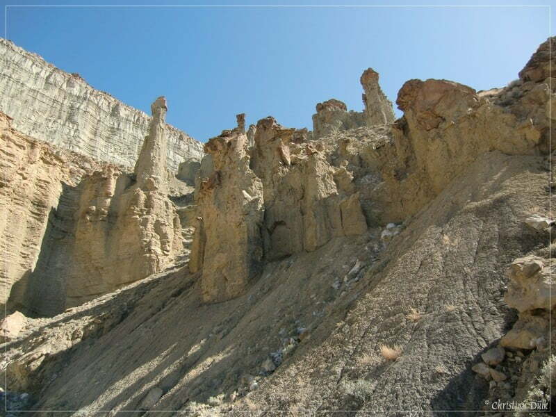
Some hoodoo-style sculptures can also be seen on the way.
Then we proceed forward towards Horse Canyon.
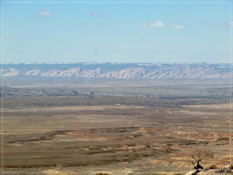
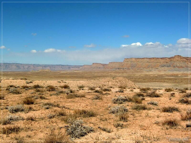
Sometimes you are able to spot San Rafael Reef again.
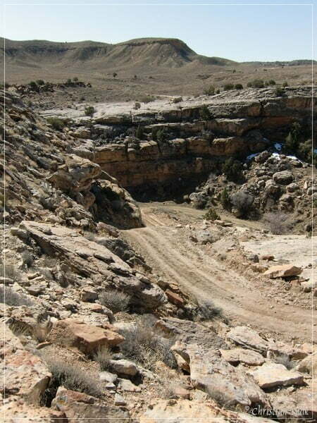
Soon you will reach the climb down into Horse Canyon.
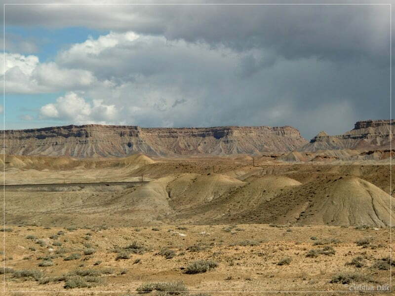
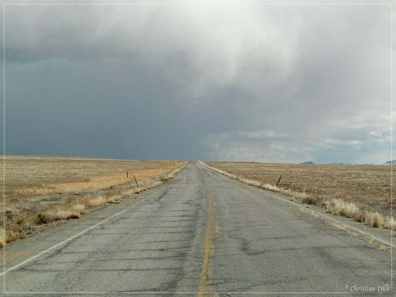
We also observe, that the clouds are coming closer and closer, so that we have to speed up to be down from the Bookcliffs, before rain starts.
A view back on the trail:
Now we are meeting Horse Canyon. The trail is on the bottom of this canyon.
After going down a steep ramp, we are moving forward into the only possible direction. The drop off into Horse Canyon is at 12S59173X 431786X.
Horse Canyon is very near at the beginning, but gets wider and wider after a short time.
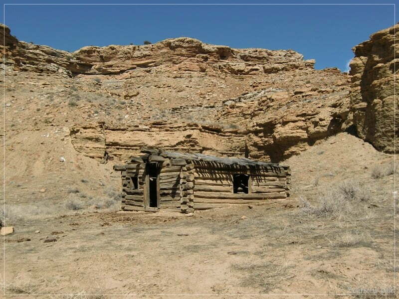
There is also an old cabin in Horse Canyon:
Then we are moving again forward.
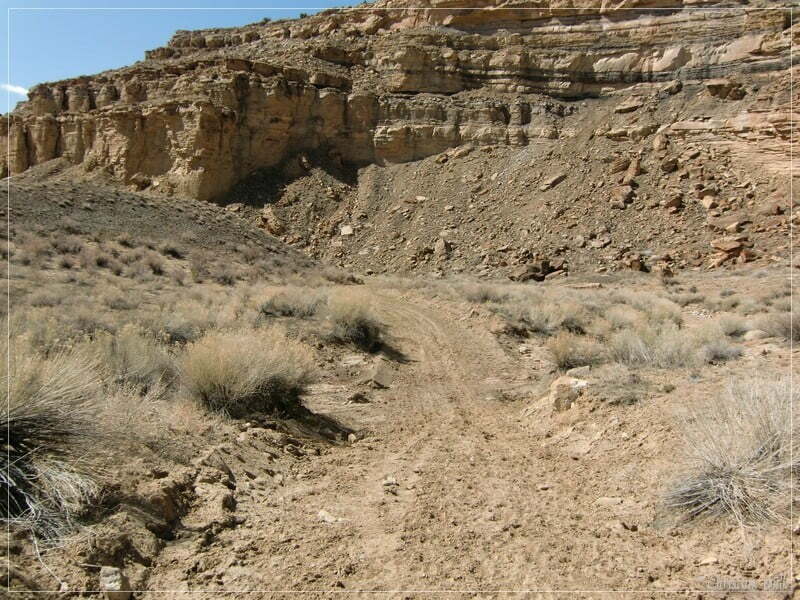
Soon we are out of Horse Canyon:
Here a few pictures from the ongoing trail and the surrounding:
We also pass a cowboy camp:
The clouds are coming closer and closer.
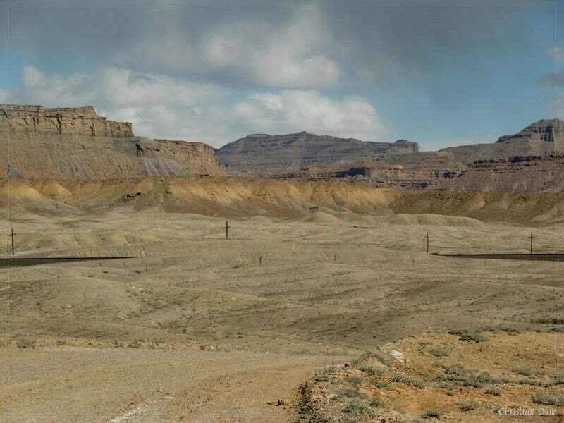
At 12 S 58724X 431245X we are reaching a railway bridge.
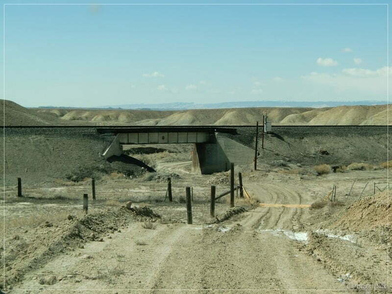
After passing the railway bridge, the trail proceeds mostly easy towards the old frontage road.
Here again a view back to the Bookcliffs. On the top it started to rain, so that we luckily came down without being faced with this problem.
At 12S58474X 431104X we are entering the old frontage road (Old Hwy 50).
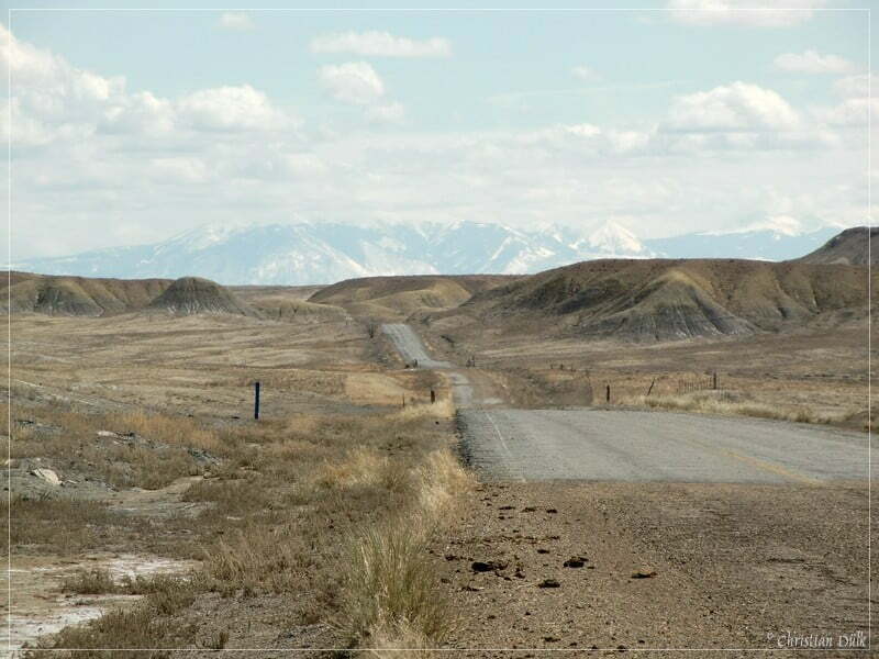
We are following this road towards Crescent Junction..
In front of us, it also started to rain……
….so that we were really happy to reach the ranch exit of the I-70 at 12S59231X 430842X. From here we continued to Moab, UT.
This trail is very pleasant if you have enough time on your way to Moab, UT and if you do not want to use the highway.
For a better orientation, one can downlload a gpx file of this trip:
Tracklog: Jeep Trail on the Bookcliffs (Coal Canyon) (1145 downloads )
And here is an overview of the area, we visited:


