We are regularly visiting the John Wesley Powell River History Museum in Green River, UT to get the latest weather informations and to get a good idea, what to do in the vicinity of Green River, UT. The ladys in the museum suggested us this time to go into Tusher Canyon.
In Tusher Canyon and also in Coal Canyon and Stub Canyon, one can find a lot of rock art.
About Tusher Canyon you can also get a lot of information in a report of Rolf (Hatchcanyon), which I can recommend as an excellent source (but: german language).
The weather forecast was showing good weather in the morning and in the afternnoon it was expected to get a little bit worse. So we thought we will give this trip a try.
The ladys from the river museum also provide some sketches, which show the route. As we did not want to come back the same way as we go into Tusher Canyon, we decided to extend this trip to a round trip. There was a drawing on the whiteboard of the museum, where we could see an arrow, which pointed to a trail going up to the first level of the Bookcliffs. It was also mentioned, that there should be an exit down to Coal Canyon and Horse Canyon.
In Green River we are driving along main street to the north and move on Hastings Road. Possibly someone knows this road, because it leads also to Gray Canyon.
We are following Hastings Road and at 12S057604X/432698X (UTM/NAD27) we are turning right on a gravel road to Tusher Wash. This wash we are following some time. The trail itself is today very smooth and we could drive without any problem.
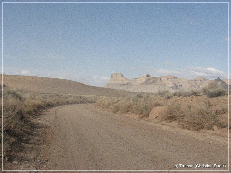
After some time Tusher Wash gets deeper and deeper and soon it will be Tusher Canyon.
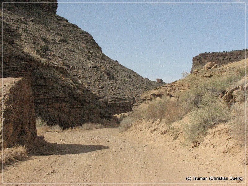
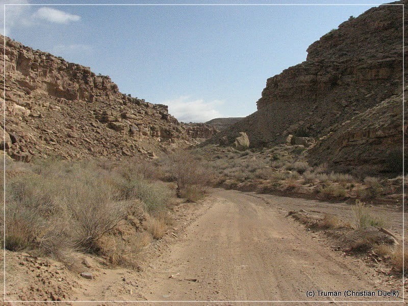
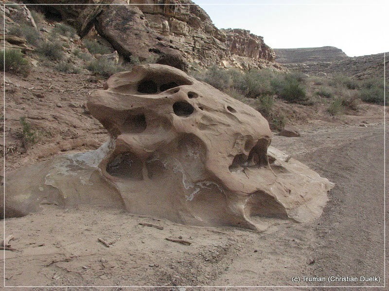
And soon the canyon gets wide:
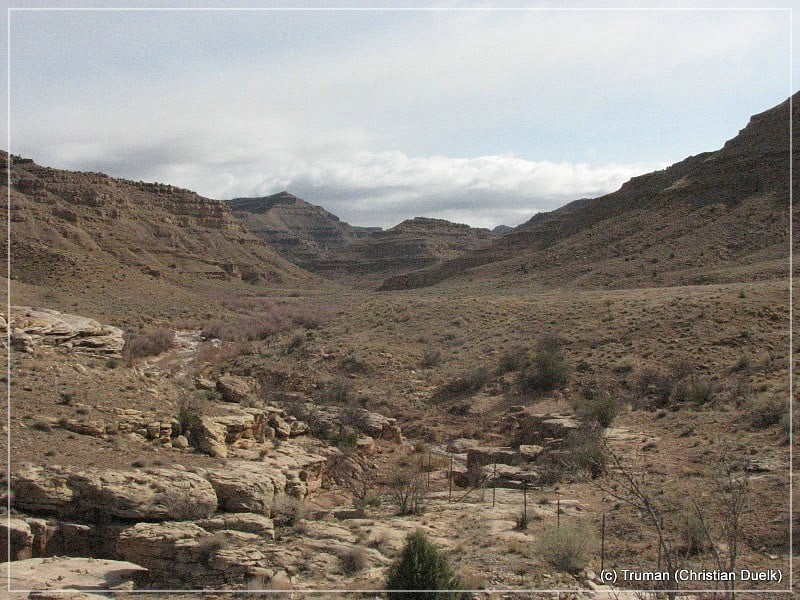
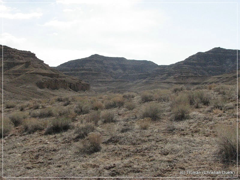
Later Tusher Canyon splits into a left and a right leg. We went into the right leg and met a father with his nine year old son, who made his shooting exercises there. We were talking for a while with the father and asked, whether it makes sense to go ahead in this leg. He was looking on our Jeep Liberty and suggested not to go further ahead.
We just explored a little bit of this canyon arm and then turned back. This trial was still fine, but the scenery did not change much. On our way back we saw a 4WD trail, which was signed for an overlook trail. But we were choosing a left turn at 12S058513X/432674X (UTM/NAD27). This gravel road was in excellent condition, when we drove it.
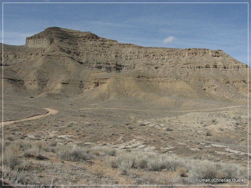
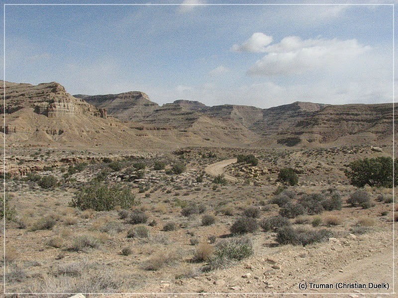
On our way up to the Bookcliffs we were able to have a good view into some of the side canyons of Tusher Canyon.
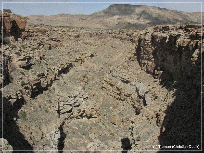
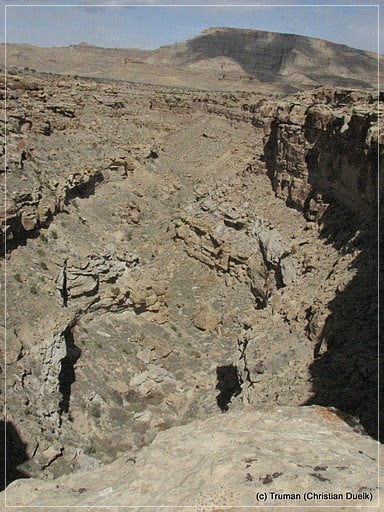
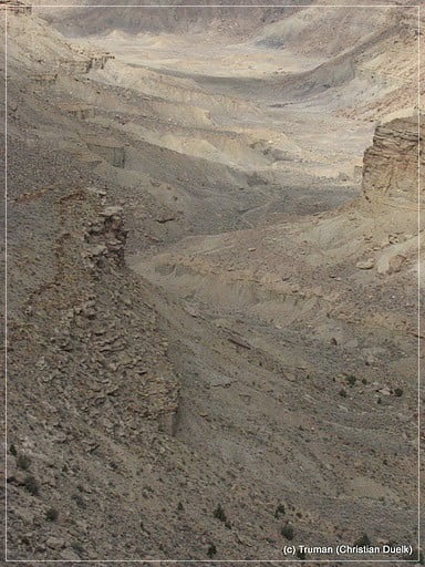
Soon we are coming higher and higher and reach the 1st level of the Bookcliffs.
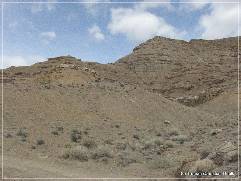
Here you can have great views into the surrounding.
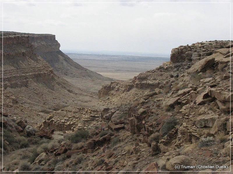
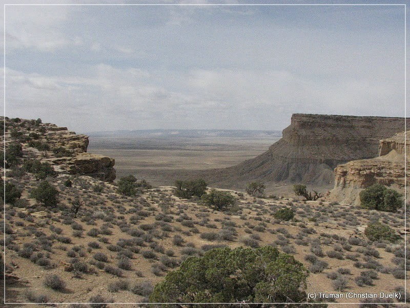
Here a view up to the top level of the Bookcliffs:
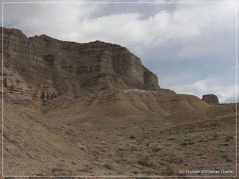
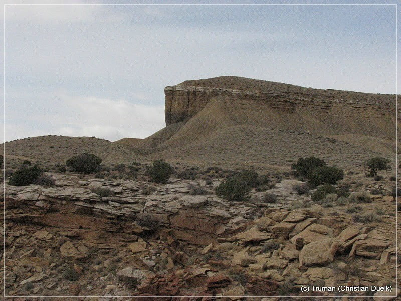
Then we reach a turnoff to an overlook, which was suggested to us by the ladys from the River Museum in Green River, UT. The name of this overlook should be Green River Overlook. The side trail itself gets a little bit rougher, but nothing to worry about.
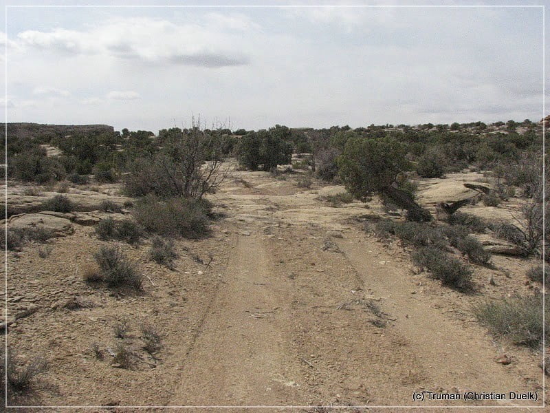
After a short hike from the trails end, you are reaching the overlook:
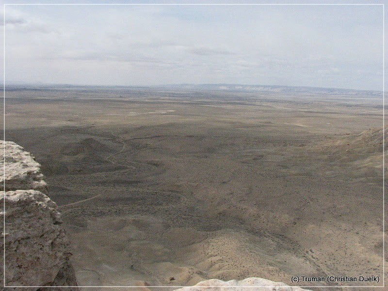
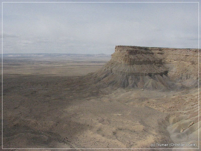
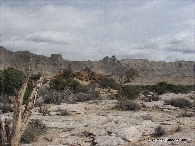
Then we are going back on the main trail
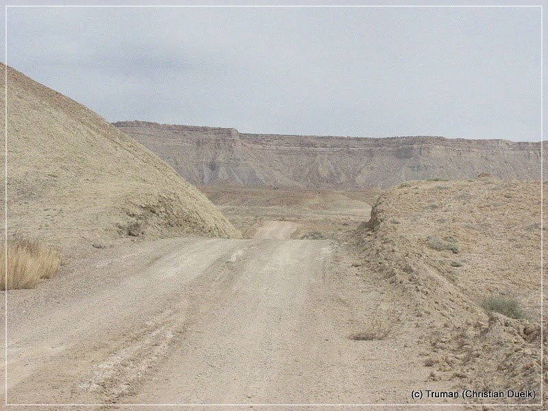
After a long time, we are reaching the turnoff to Coal Canyon. This side route is supposted to be more difficult. We continued to Horse Canyon and used the trail into this canyon to come down from the Bookcliffs. Unfortunately we do not have pictures of this part of the trip, because the weather changed fast, so that we had to speed up. But a lot of pictures could be found in our second trip report about the Bookcliffs trail.
After a certain time we came down and reach open land. After passing the railway bridge, we move forward to an old frontage road, which brought us back to Green River, UT..
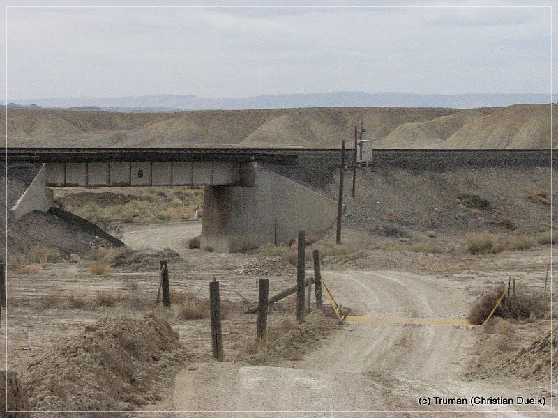
Here a view back to the Bookcliffs:
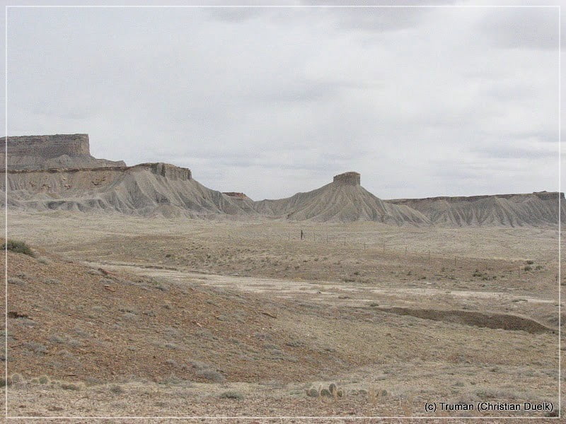
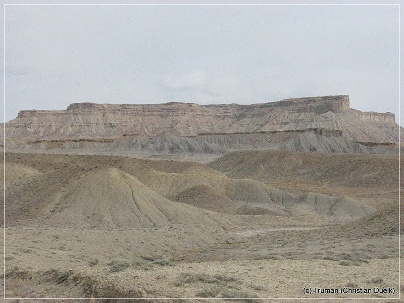
This was a wonderul half day tour, away from red stone regions and a lot of fun for us. It also shows, that Green River, UT, with is nearby canyons, has a lot to offer to visitors.
In Coal Canyon and Stub Canyon one can find a lot of rock art, too .
For the route up to the Bookcliffs via Coal Canyon, it was recommended to us, to use a 4WD vehicle. Stub Canyon also needs 4WD, because the sand there is supposed to be very deep..
For a better orientation, one can downlload a gpx file of this trip:
Tracklog: Jeep Trail on the Bookcliffs (Tusher Canyon) (906 downloads )
And here is an overview of the area, we visited:


