A day, after we went along the southwestern rim region of the Vermilion Cliffs NM, we planned to visit Bush Head Valley. There should be an old ranch and a tank (Bush Head Valley Tank). The trail towards the tank is supposed to be very sandy and we heard from some friends (a big thank you to Darlene, Ken, Bob and Emily), that the route through Little Valley is impassable due to a washout. This route would end up in a loop back to Bush Head Valley Ranch.
We started again from Lee´s Ferry Lodge via US89A to House Rock Valley Road (turn off on House Rock Valley Road at 12S 40660X 406558X (UTM/NAD27)). House Rock Valley Road was in perfect shape this day.
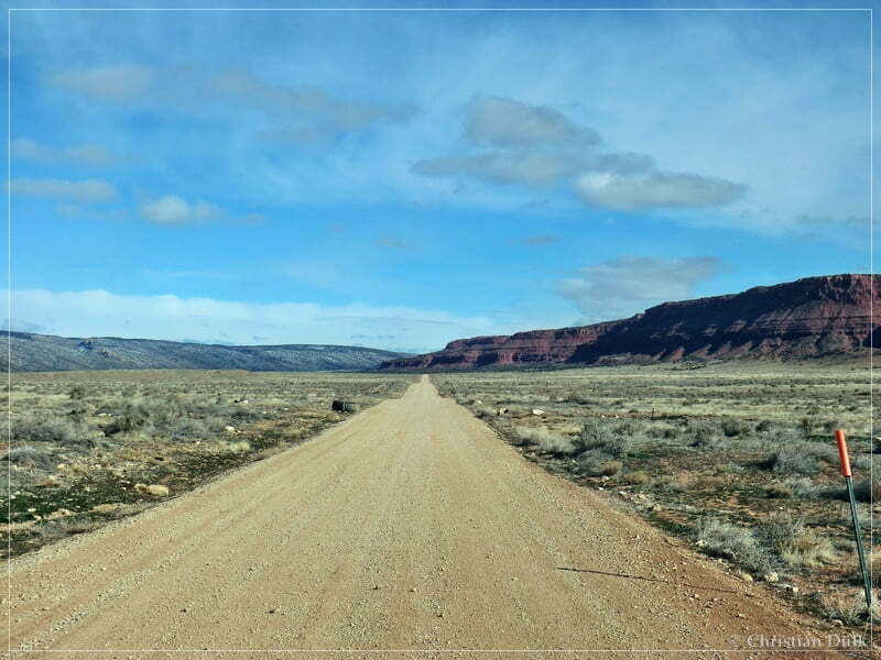
Partly there was still some snow from the day before:
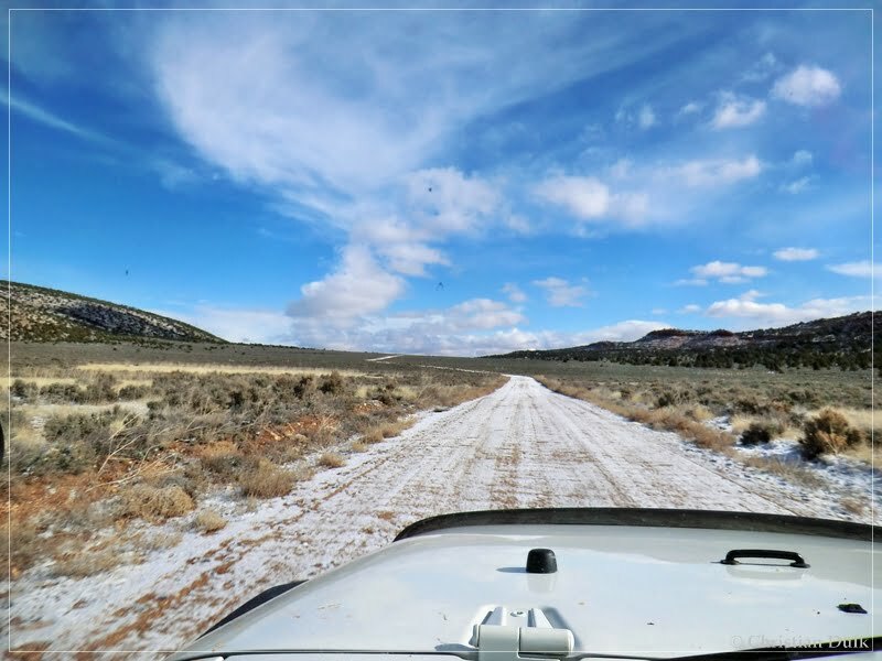
At 12S 40532X 407987X at the old coral, we turned right towards Coral Valley. One might follow this road until 12S 40984X 407957X and stays here on Pine Tree Road:
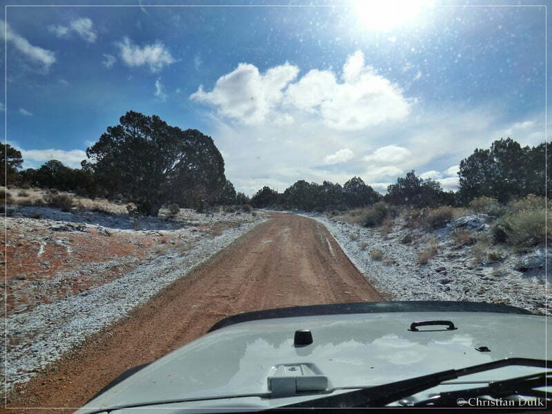
We came closer to the turnoff to Big Sink Valley at the ranch…
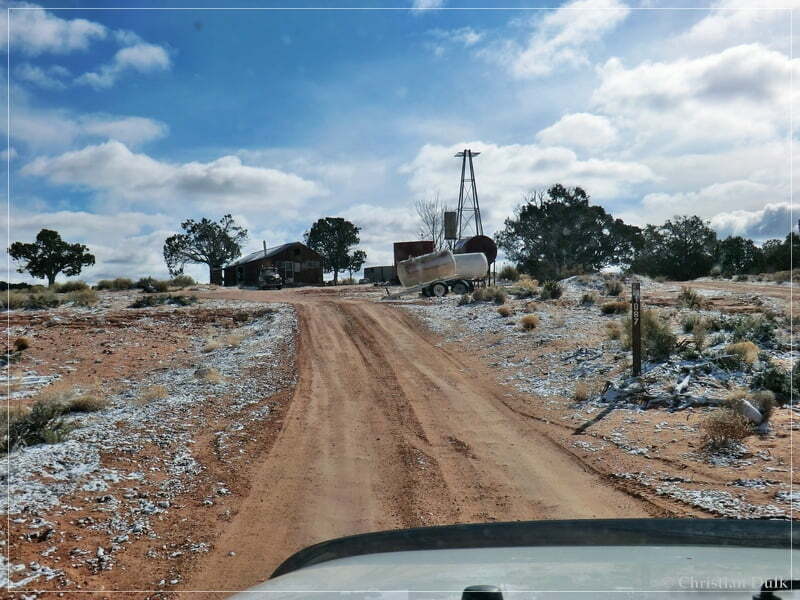
… and turned left there this time to drive towards Big Sink Valley (12S 41432X 407774X):
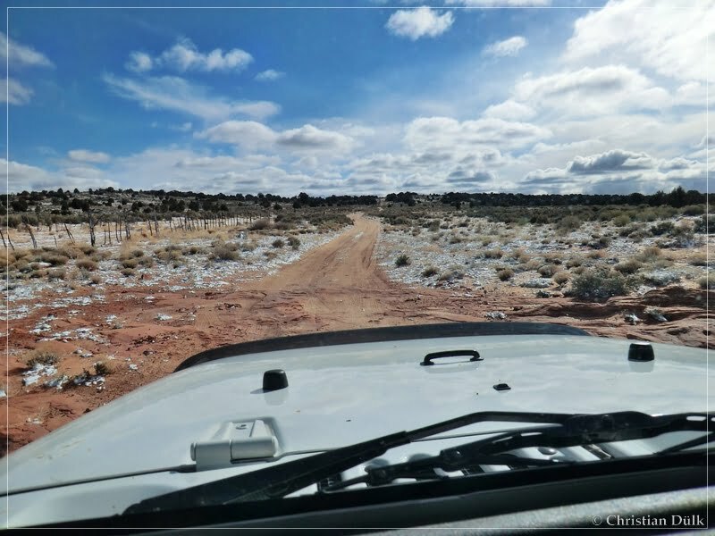
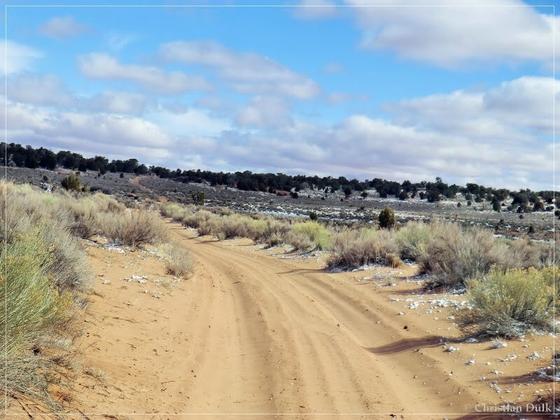
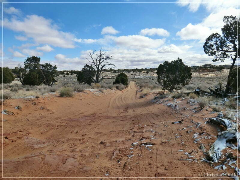
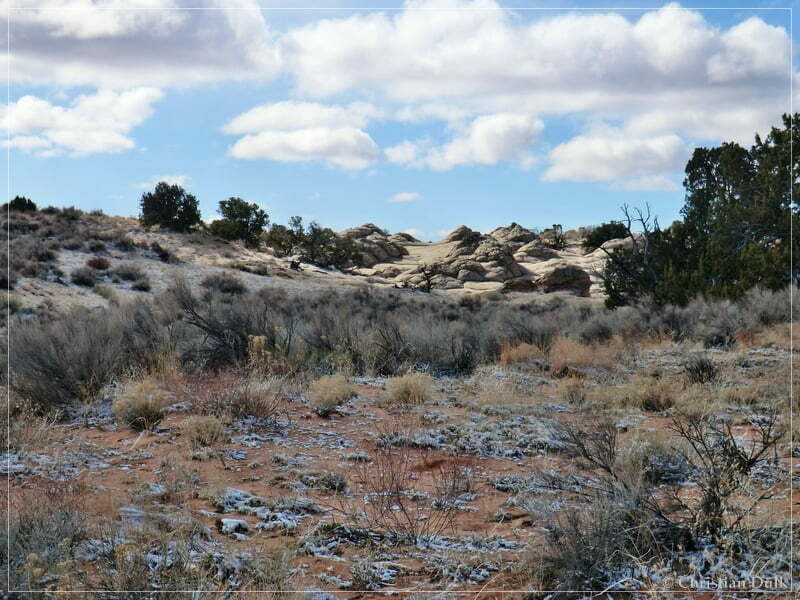
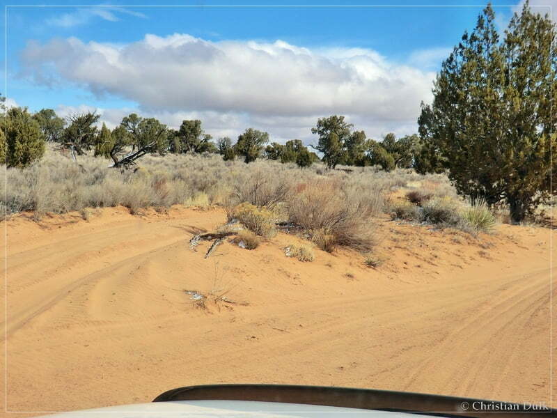
At 12S 41816X 408229X we passed the turnoff to White Pocket. We stayed on the main trail.
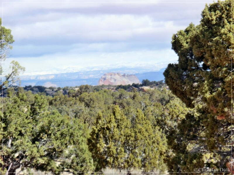
From this position we also could see the top of White Pocket:
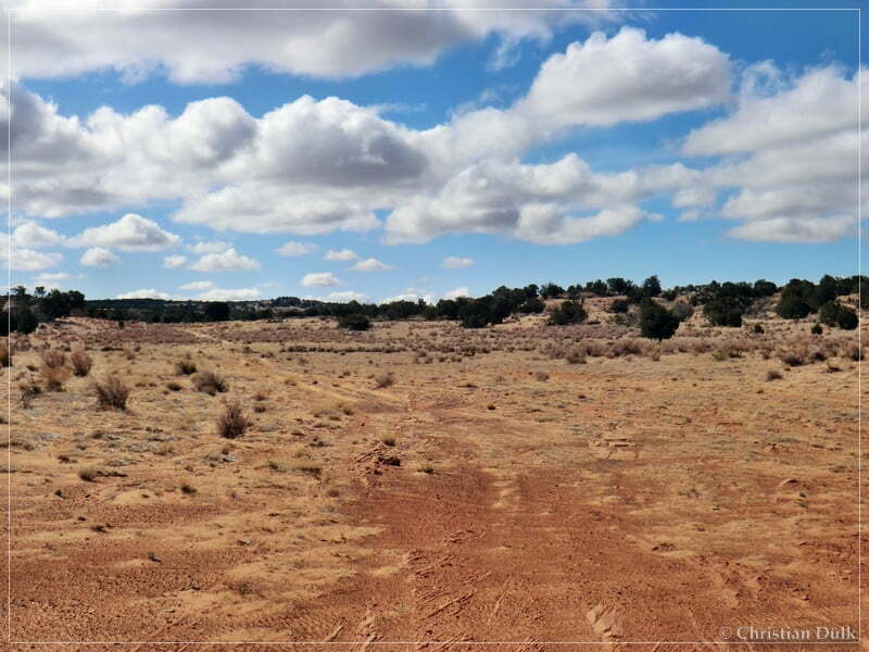
After short time we reached Big Sink Valley. The following pictures shows the trail towards Mexican Sink (turnoff 12S 42046X 408275X):
From here we continued on the upper route.
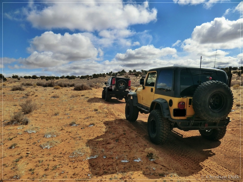
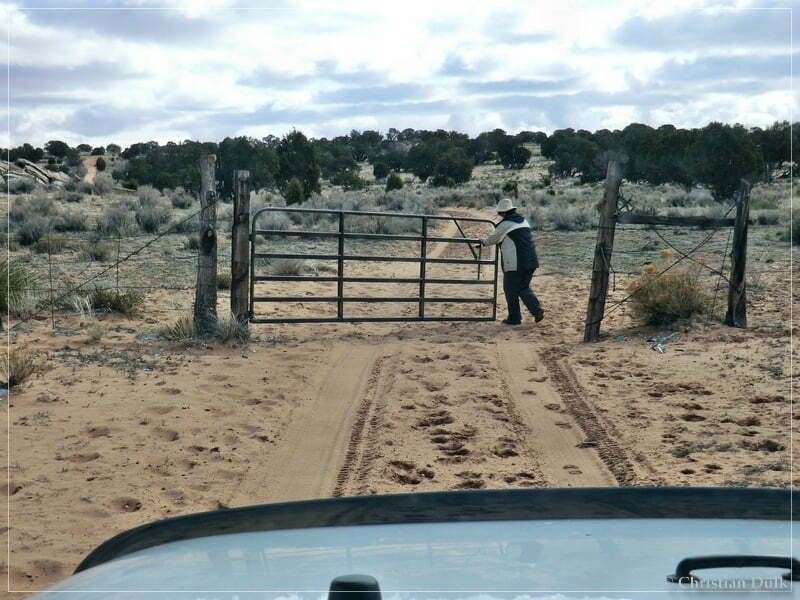
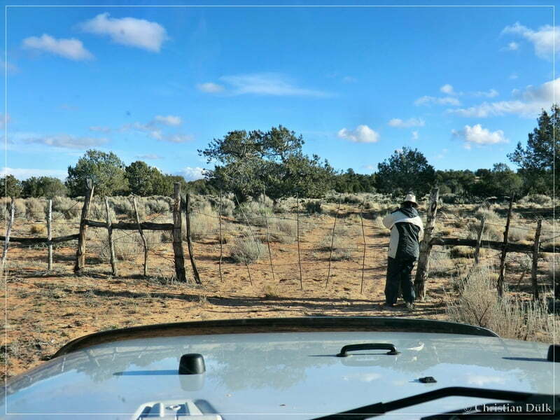
We had to pass our first gate:
At 12S 42591X 408250X we passed Little Knoll.
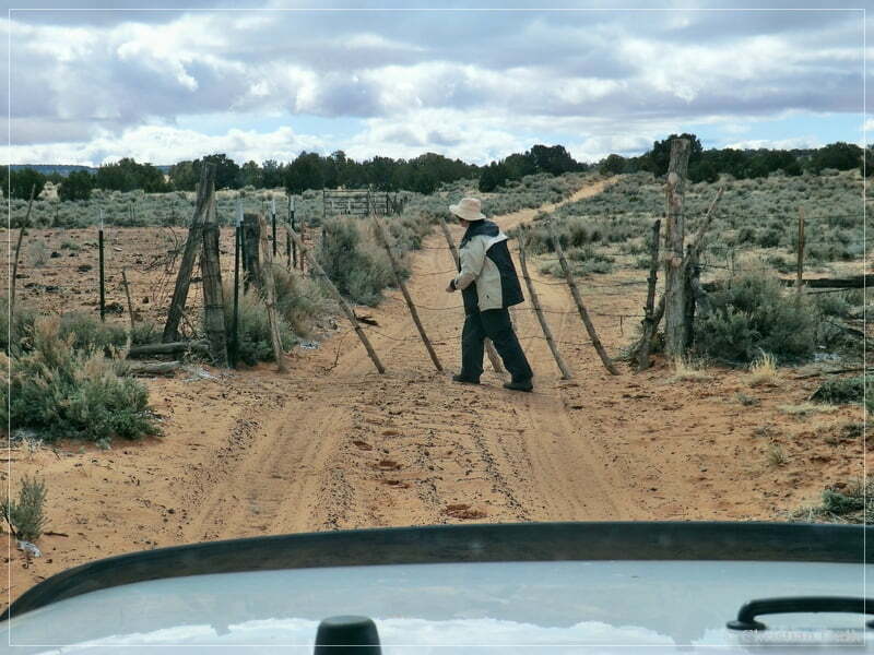
The next gate was waiting for Astrid:
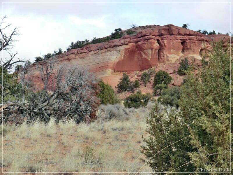
A sculpture along the way:
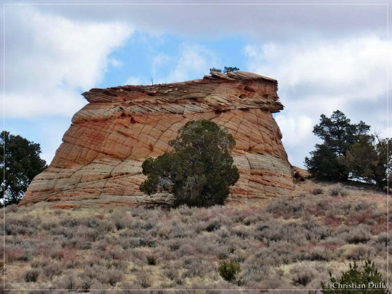
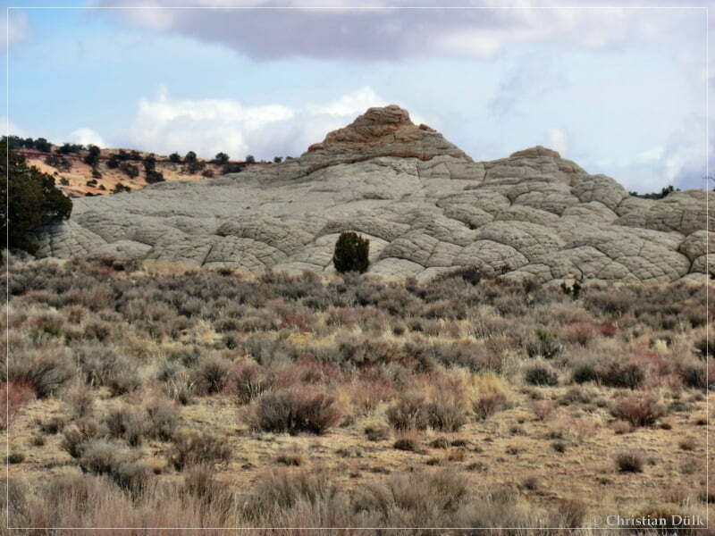
And in front of us Button Ridge:
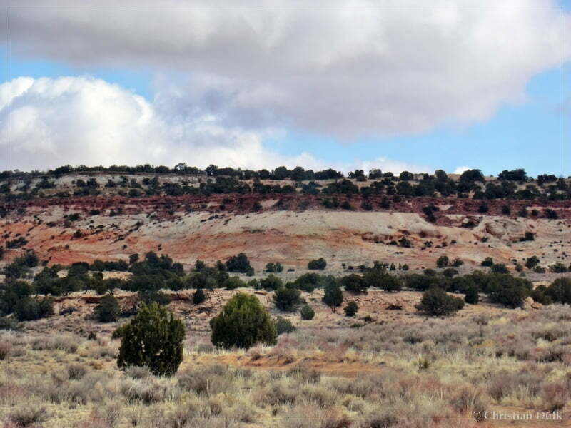
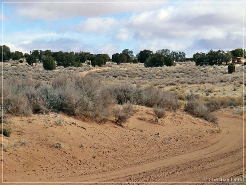
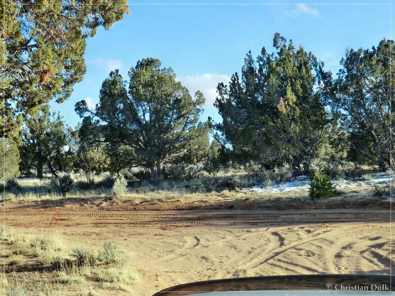
We continued on a sandy road.
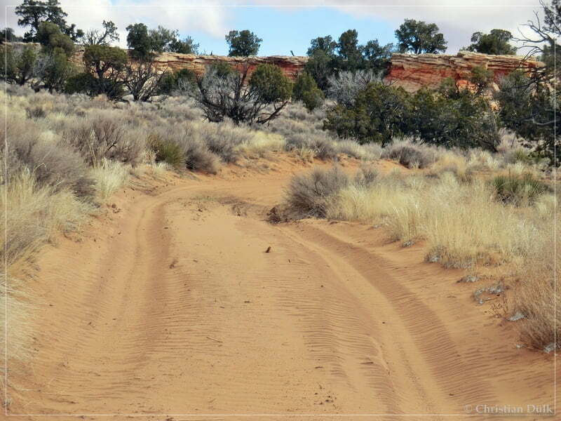
At 12S 43102X 407892X we used the left fork towards Bush Head Valley:
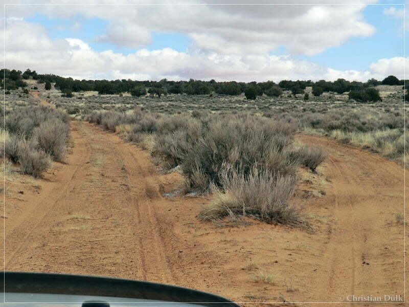
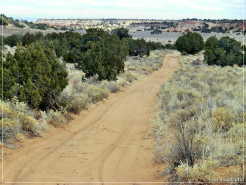
The trail was easy to drive at that time:
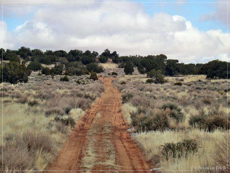
The route goes parallel to Button Ridge:
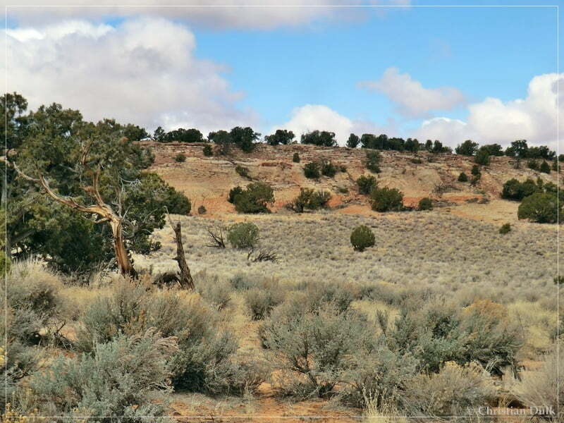
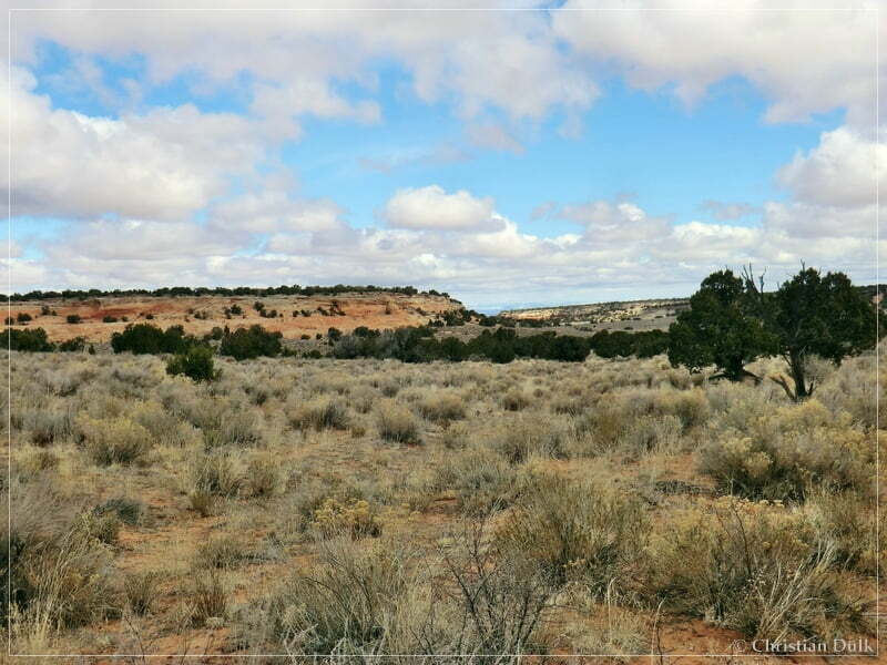
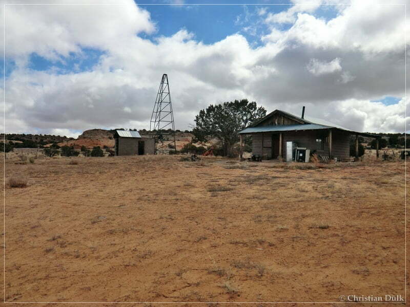
And after some time we arrived at Bush Head Valley Ranch.
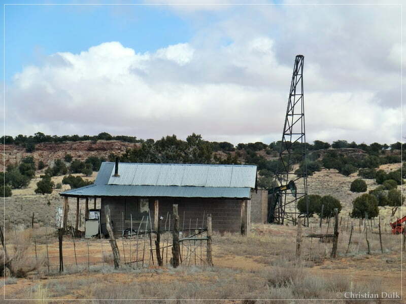
The complete ranch was pretty good in ranch.
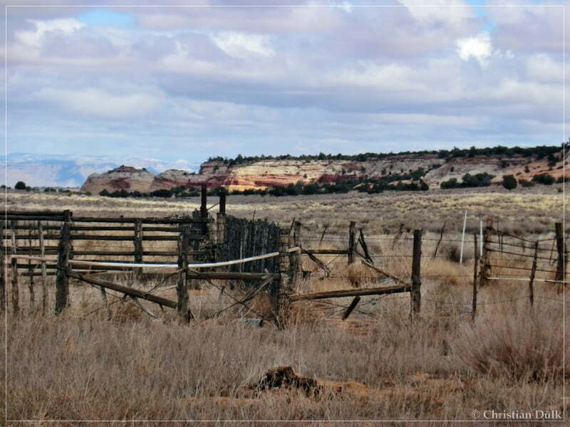
In front of us should be Paria Canyon:
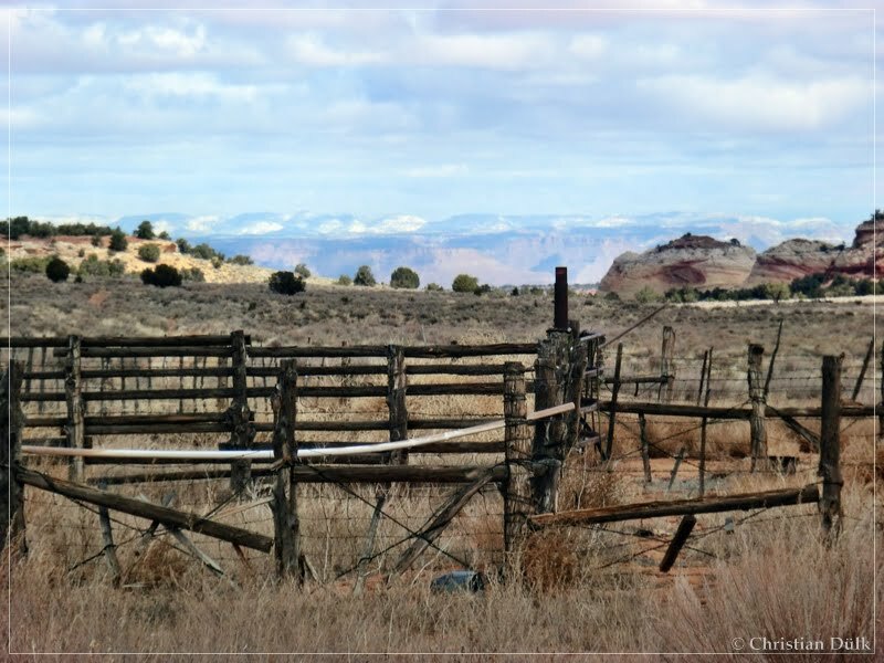
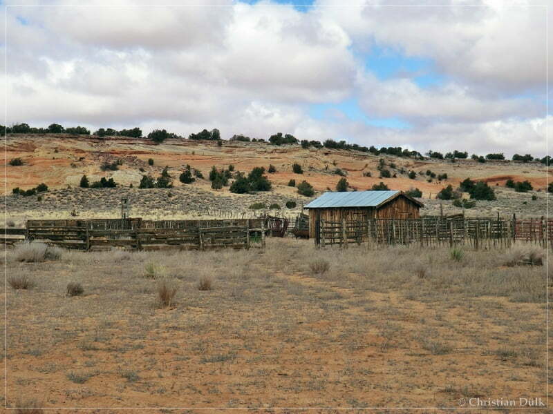
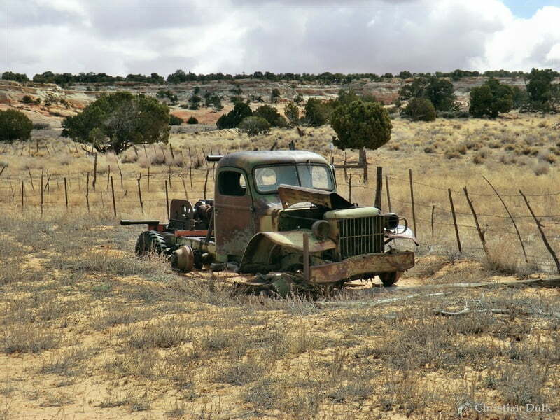
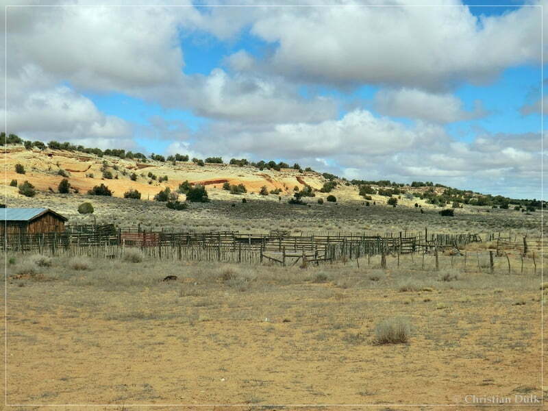
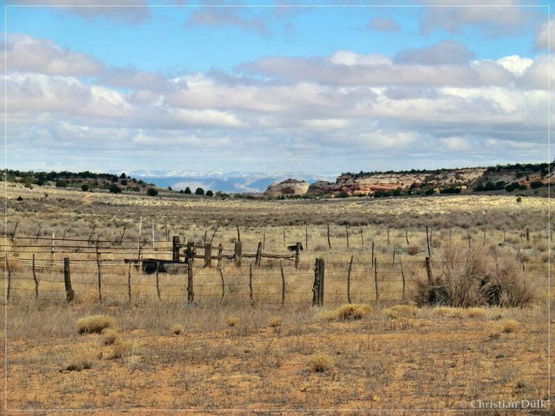
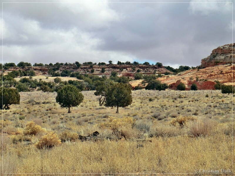
Direct at Bush Head Valley Ranch a trail into Little Valley goes to the left. But we wanted to go down to Bush Head Tank. To go there we had to follow the straight ongoing sany trail.
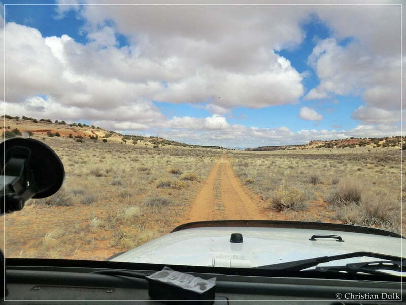
At 12S 43387X 408626X we followed the trail to the right towards the Bush Head Tank. This trail we followed and arrived at the tank after a short distance. The following picture shows a picture of the trail to the tank and a few more pictures from the tank and the vicinity:
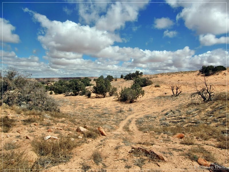
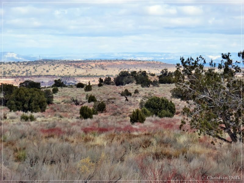
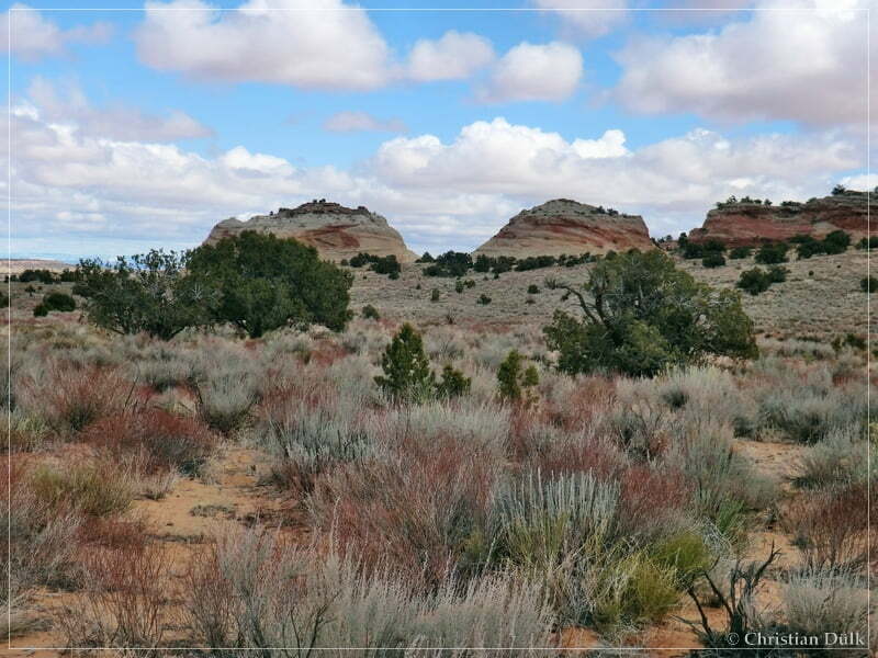
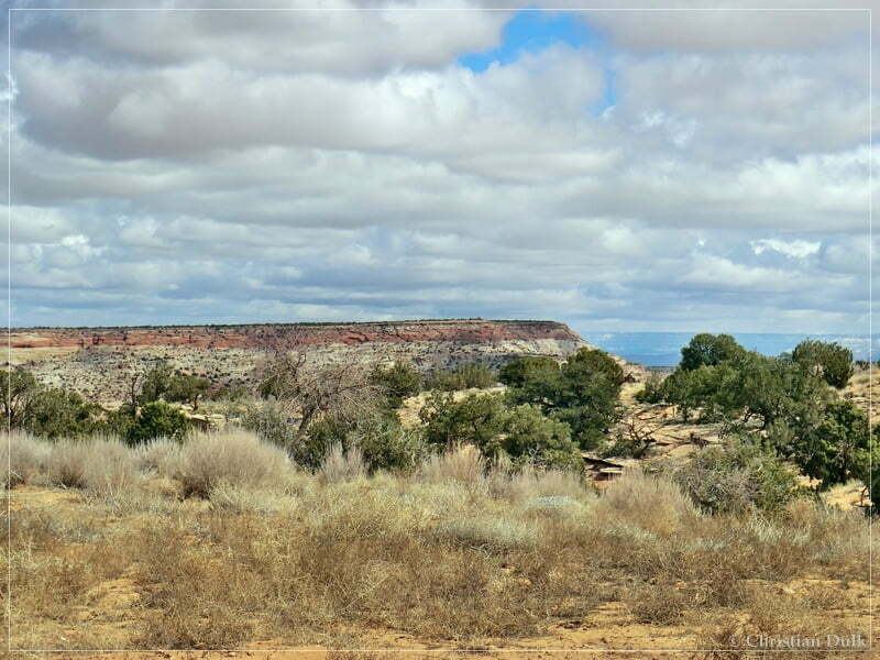
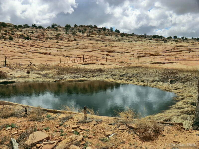
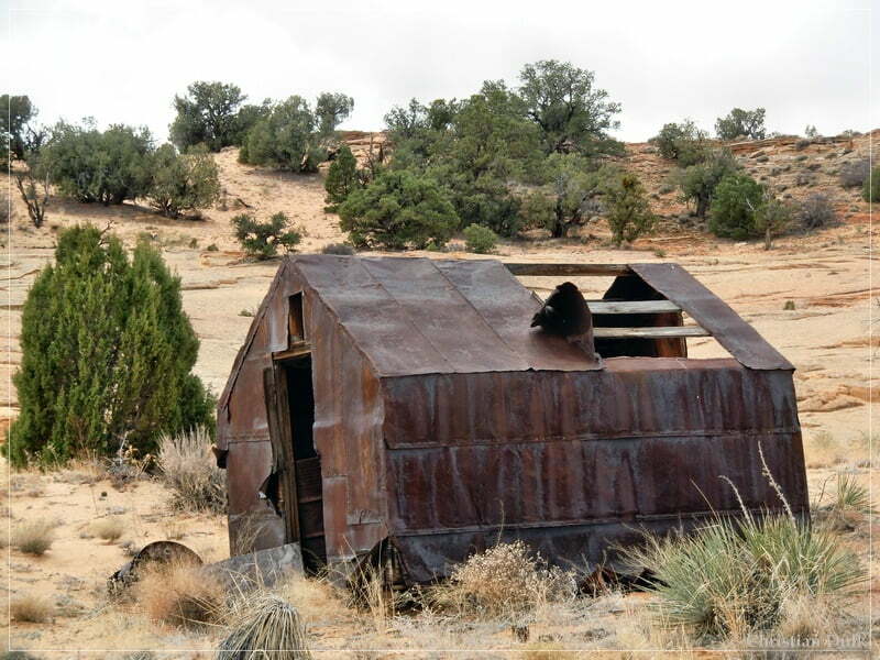
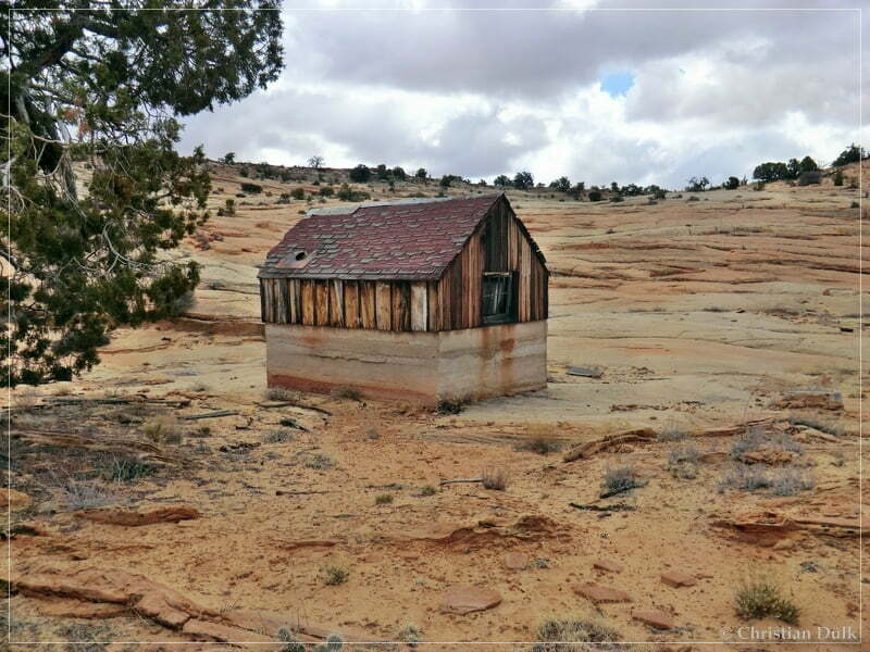
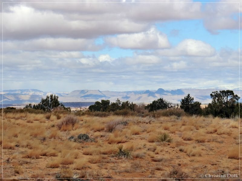
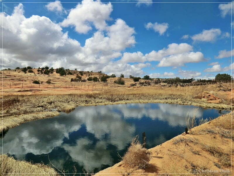
The following picture shows the landmark ‘Bush Head’:
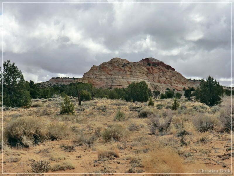
From the tank an old road continues, which is not on the topo maps. Because of a lot of nails and other stuff, it seems not to be recommendable to drive along this trail. We left the jeeps at the tank and hiked along the old road.
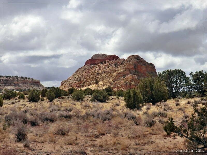
We came closer to Bush Head:
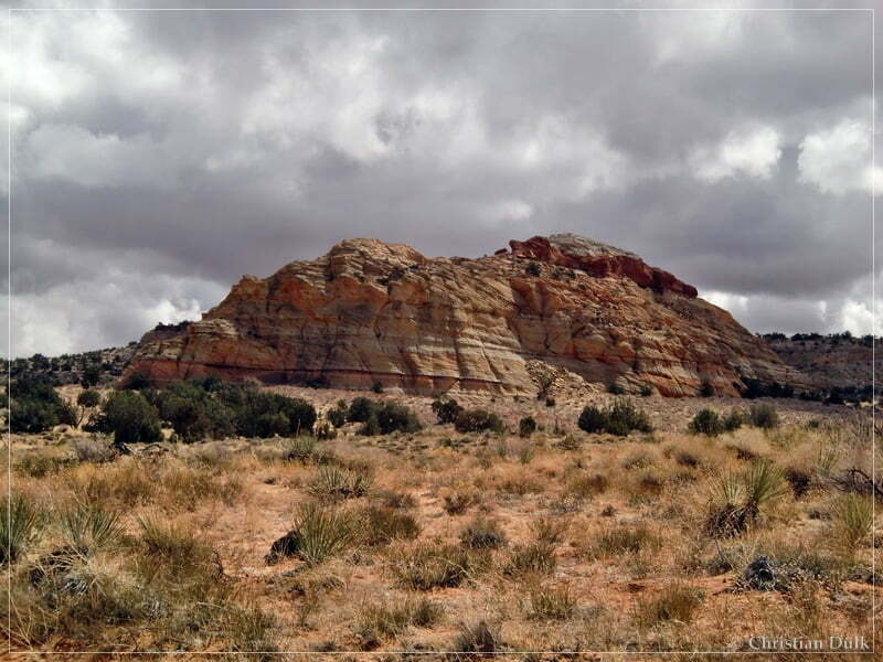
Here a picture from the other side:
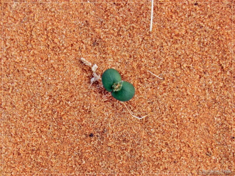
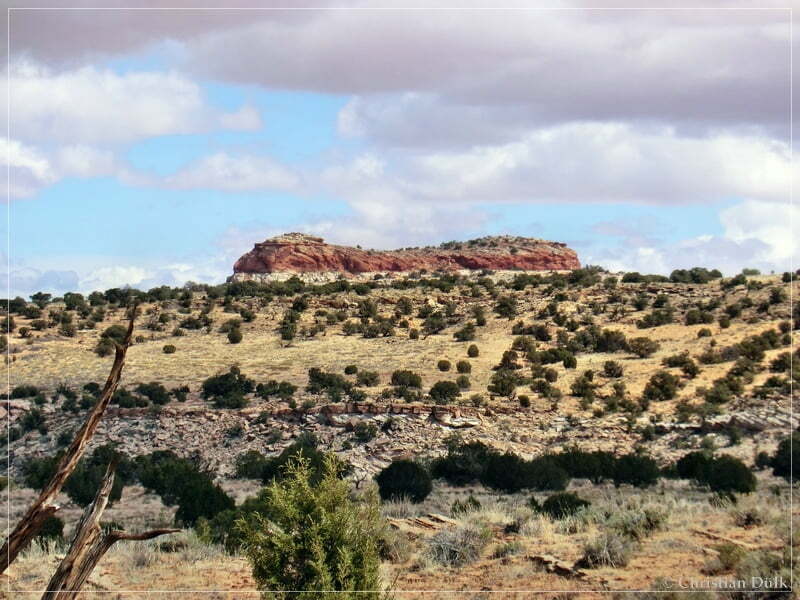
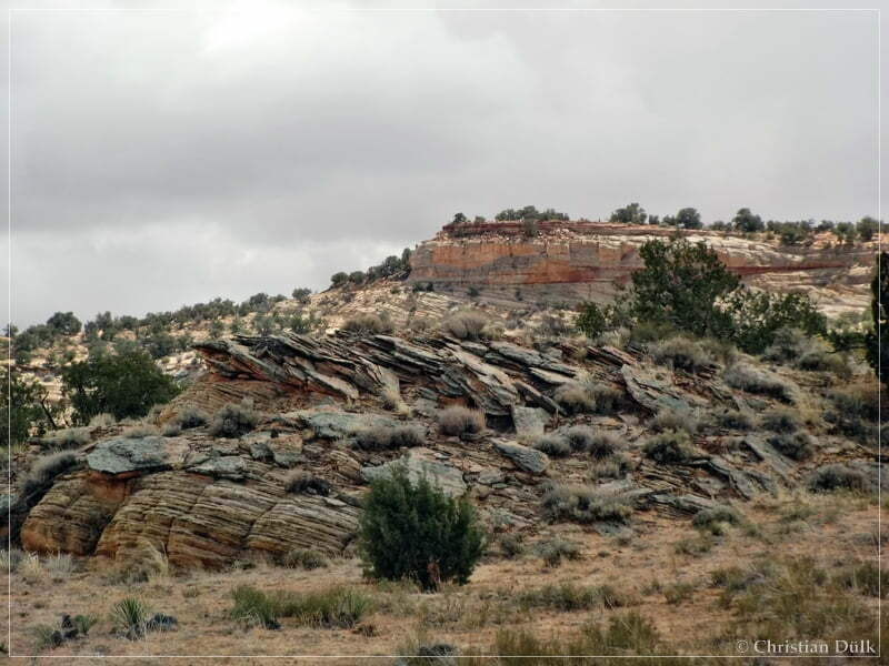
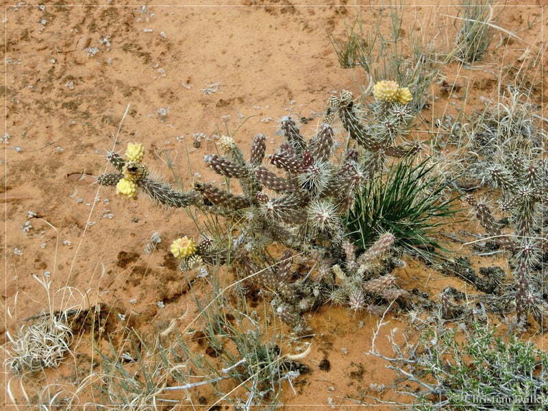
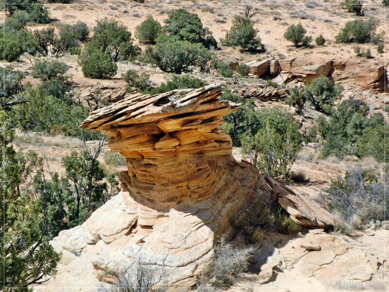
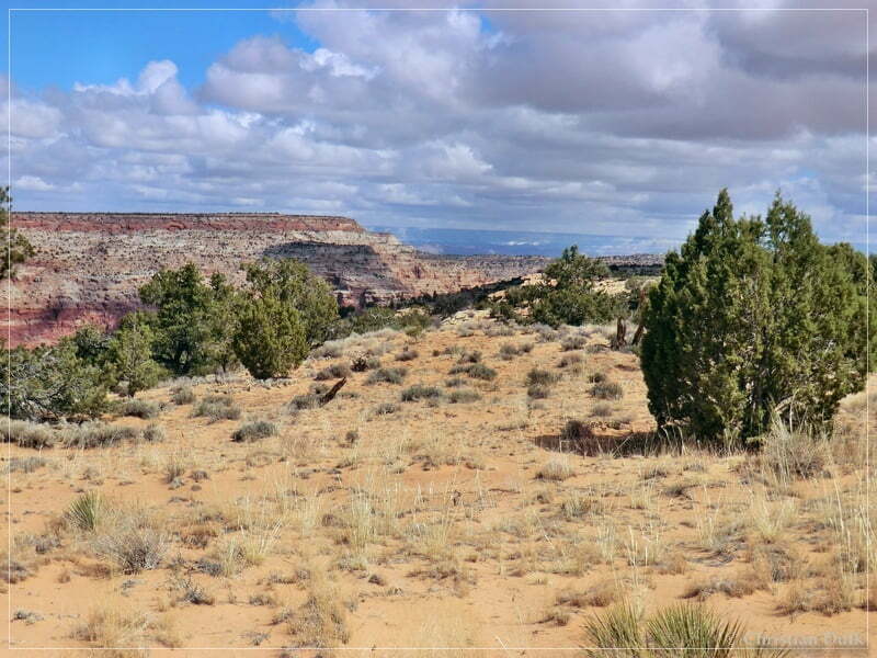
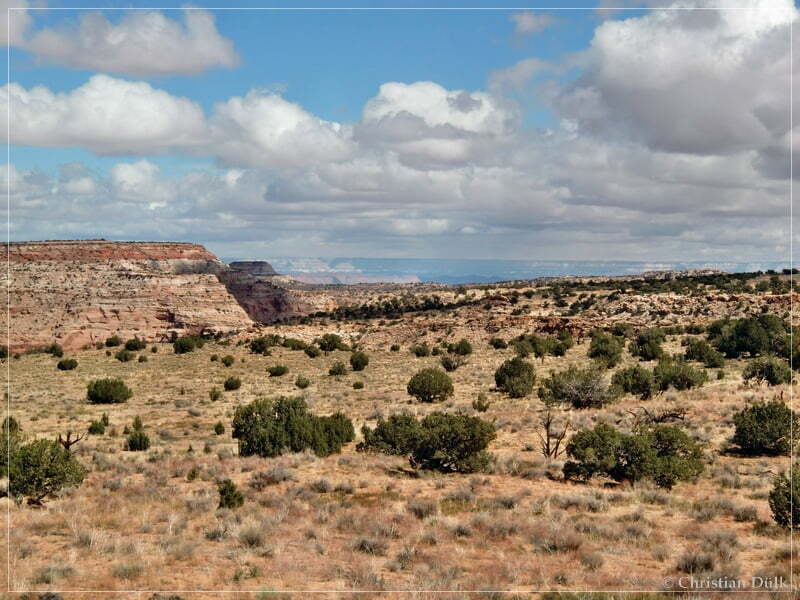
After walking some time on the old trail, we had again wonderful views:
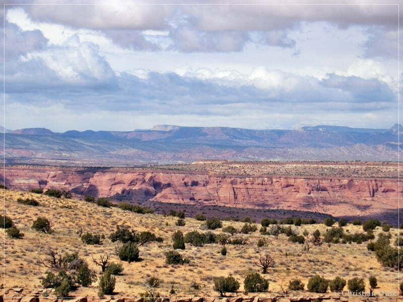
The following pictture shows the opposite rim of Paria Canyon:
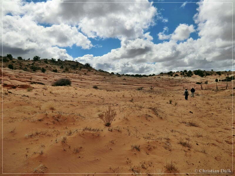
Then we turned around and walked back to the jeeps:
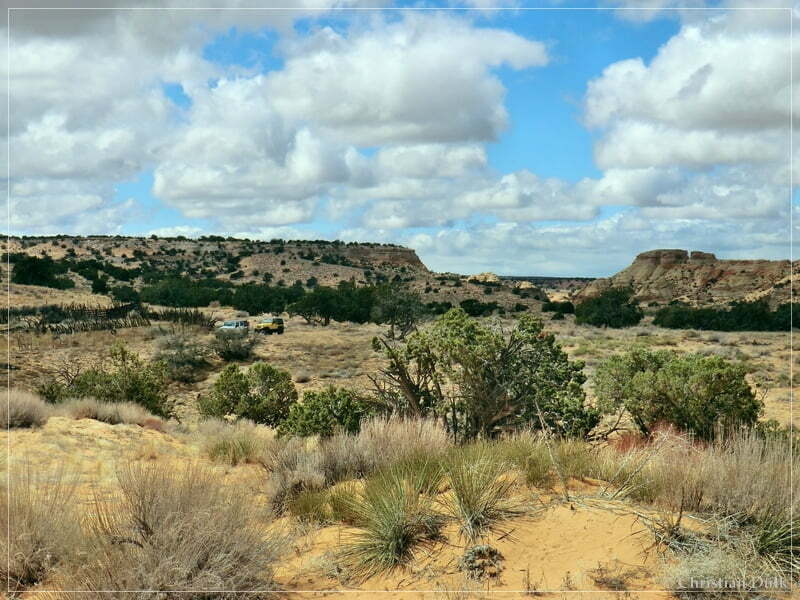
Back at the tank we had lunch break. We discussed about, whether we should follow the loop towards Little Valley or not. According to the informations, I got from our friends, there should be a very steep sand hill. Our friends said, if we go down that hill with our jeep, we will never be able to go up that hill again. They also told us, that the trail will be impassable in Little Valley due to a washout.
Mike, our companion, told me, I should not have told hin this and that he now wants to see the rest of the trail and to drive the Little Canyon loop. I told him, that I also want to see the rest of the route and so we had a 2:1 situation for driving into Little Canyon.
Back at the Bush Head Tank turnoff, we now went right and after a short time we were at the steep sand hill. It seemed, that somebody tried to come up that hill some time before. We decided, that I will try first to come up that hill and Mike´s jeep should work as an anchor point for my winch, if I fail to drive up.
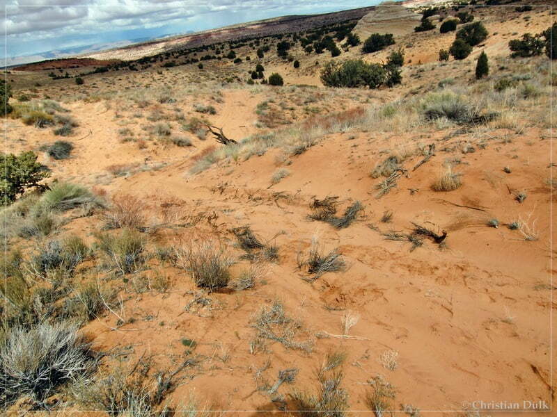
There was just a short start ramp, so that I did not have to much speed available. I used 4WDHigh and locked my differentials to go up.
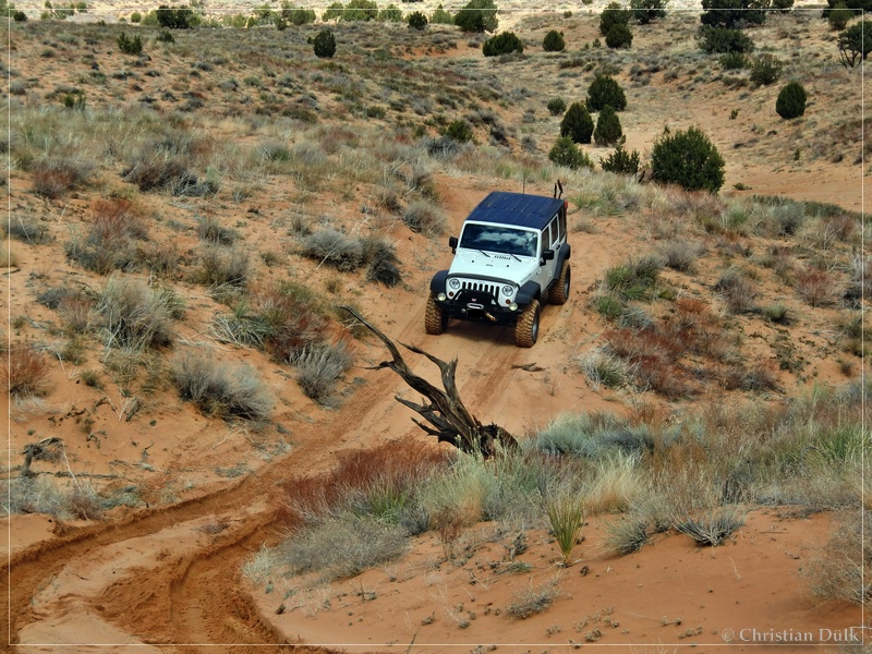
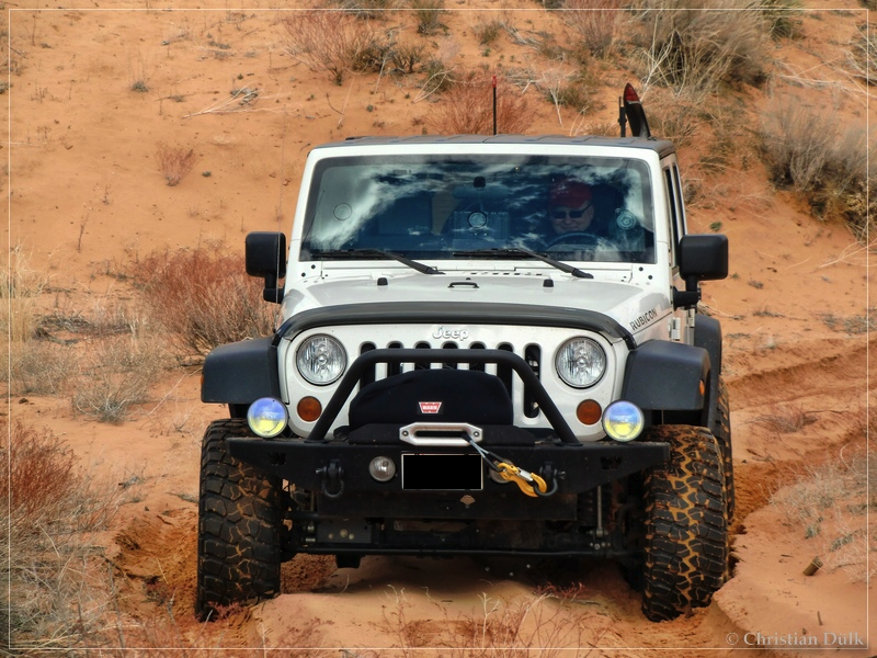
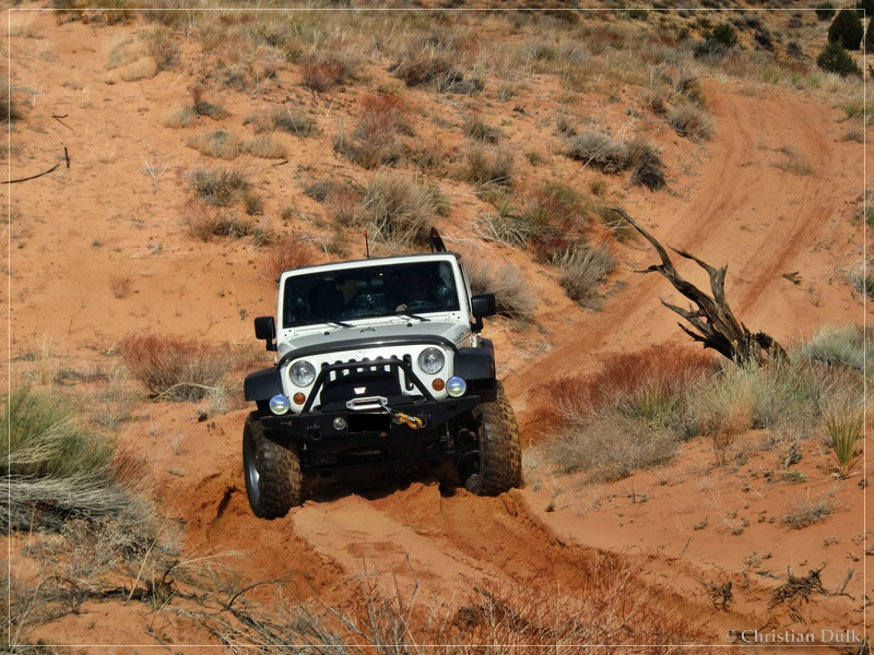
Mainly we were lucky that the sand was wet enough to give us a good traction. I came up that hill without a problem. If the sand would be dry, I would doubt, that somebody would be able to come up this hill with a SUV or a jeep.
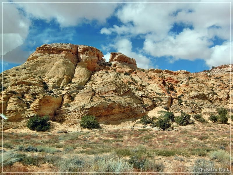
After that hill we had to go up to some kind of pass, where Little Valley was on the other side.
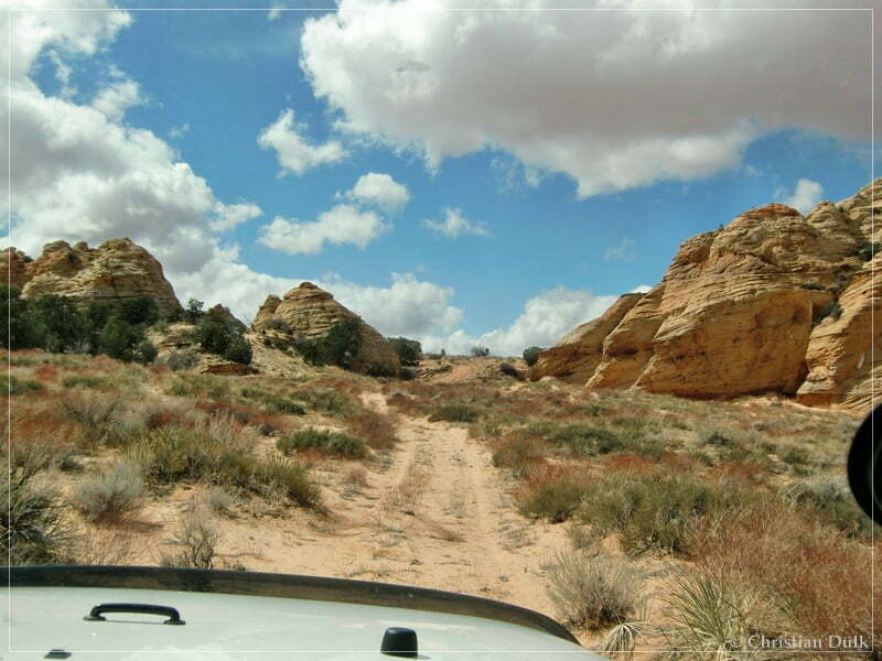
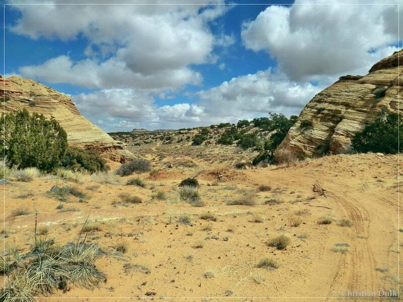
Here we already reached Little Valley:
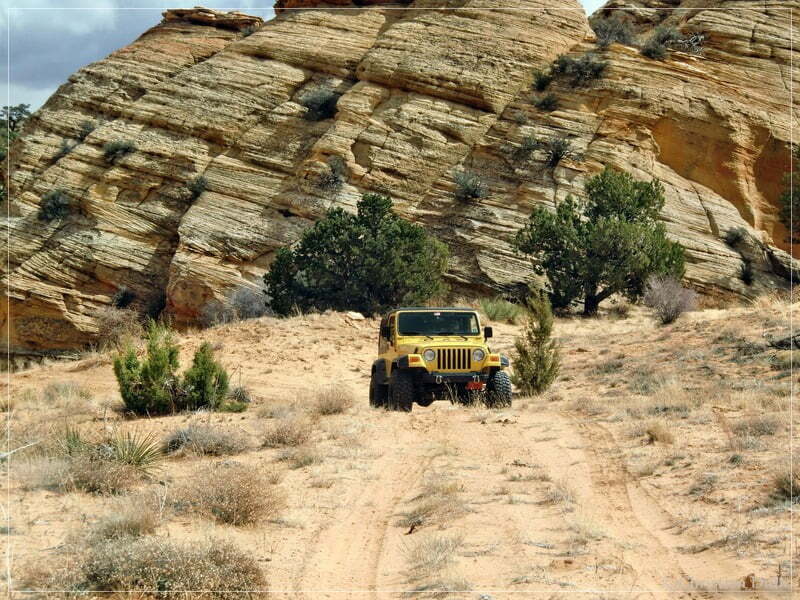
A nice surrounding:
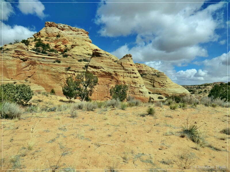
The trails here have been very sandy:
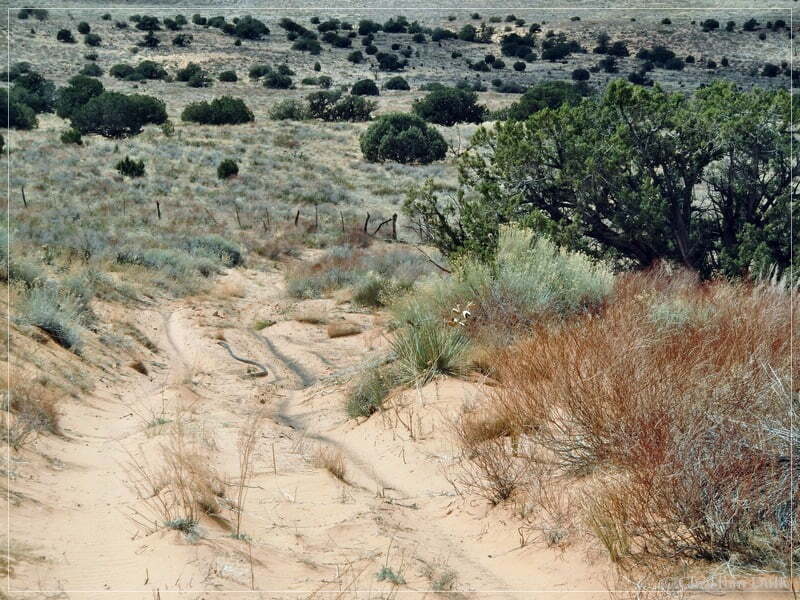
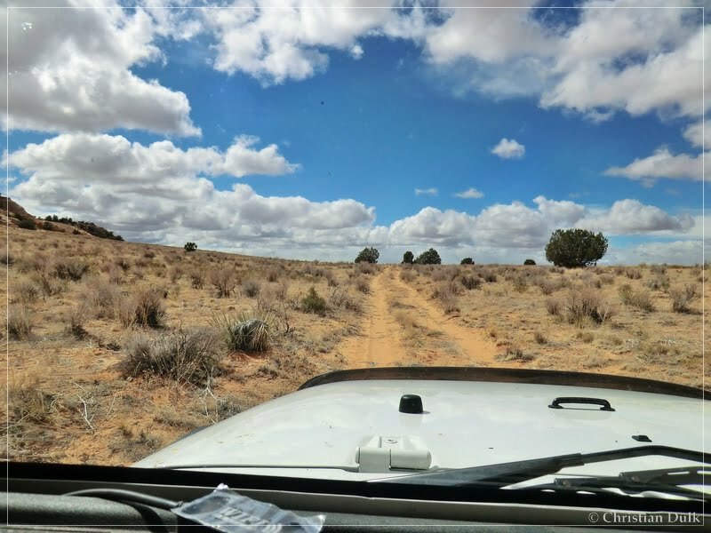
Here we had a short stop. In the background one can see a small arch on the picture
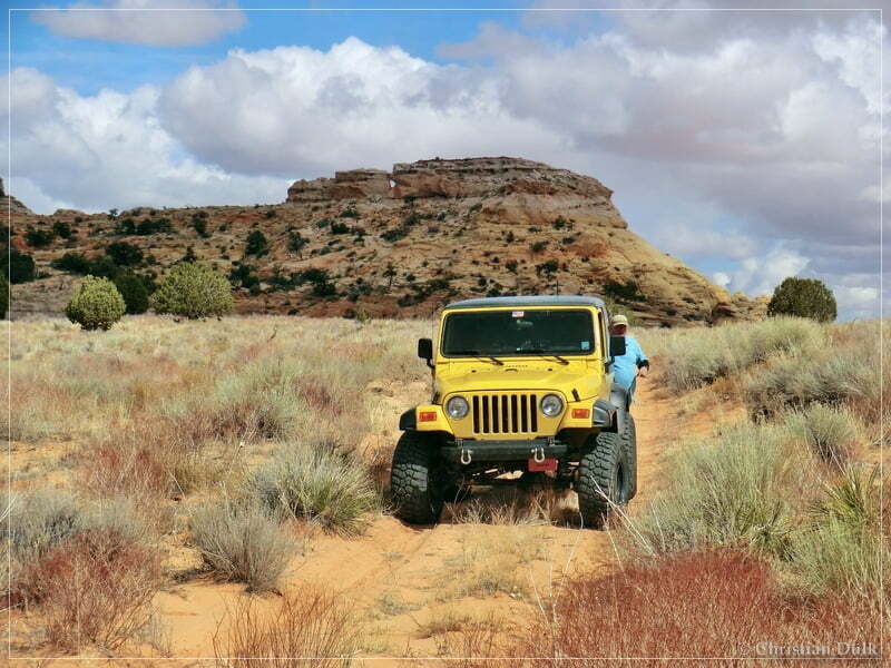
We also had a nice overview towards Paria Canyon:
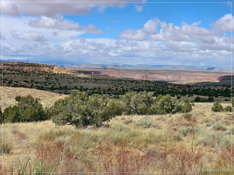
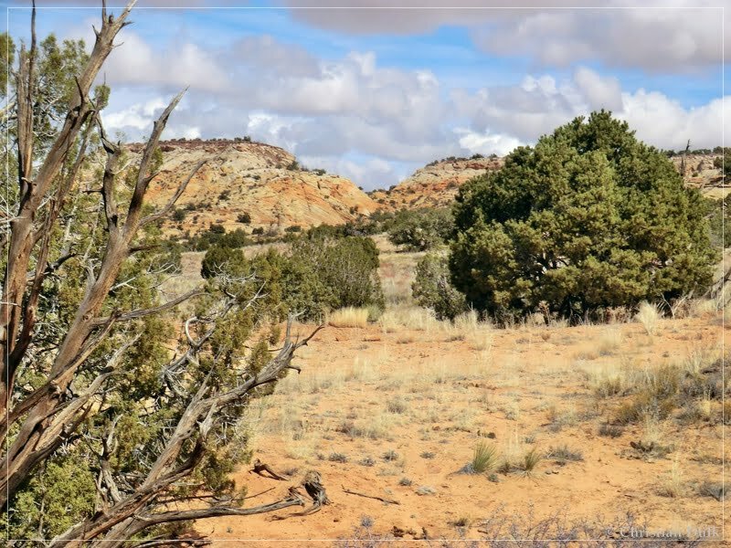
Down here should have been a washout. But we did not see anything and we were able to continue on the loop trail. The BLM map material shows also a connecting trail to the next valley on the other side of that ridge. But there was nothing to see, so the trail might have disappeared.
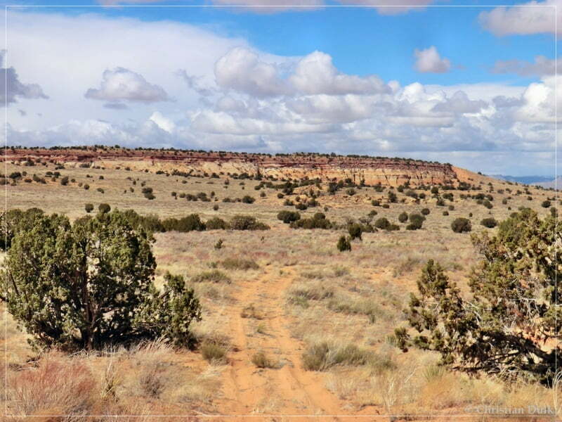
We followed the sandy trail.
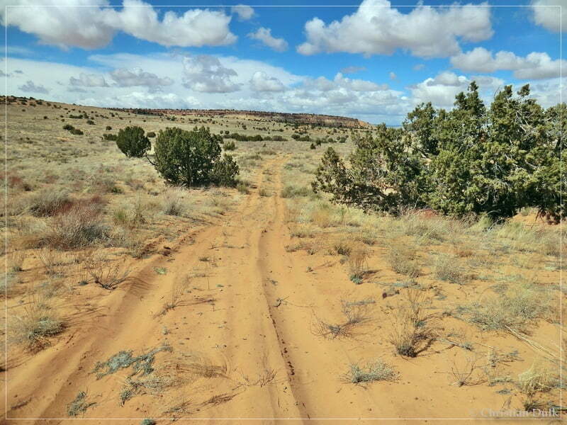
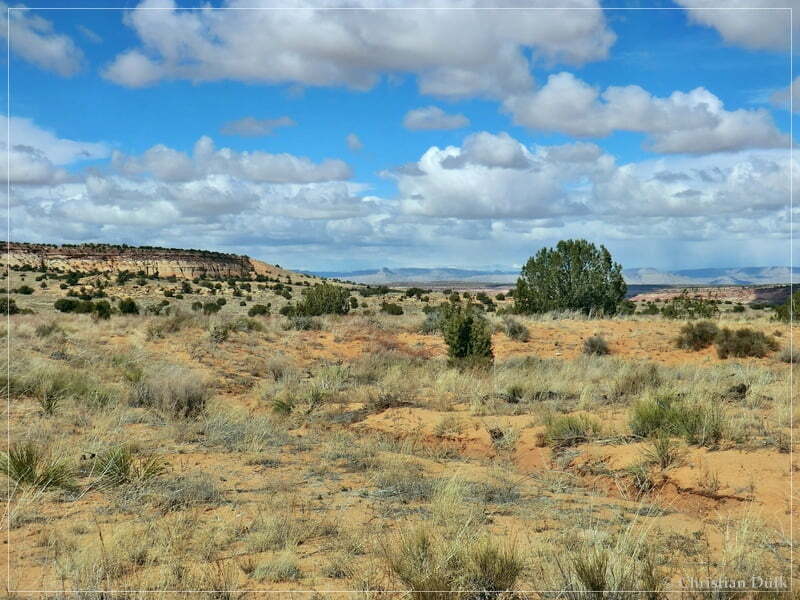
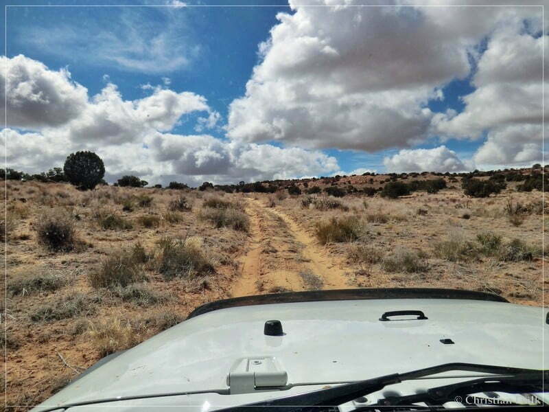
In front of us we could see again Button Ridge.
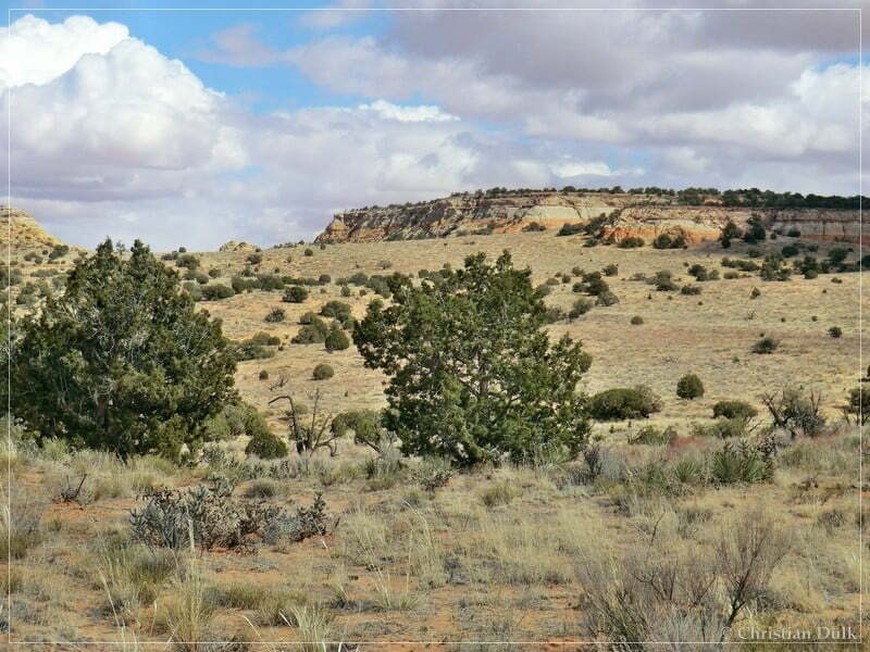
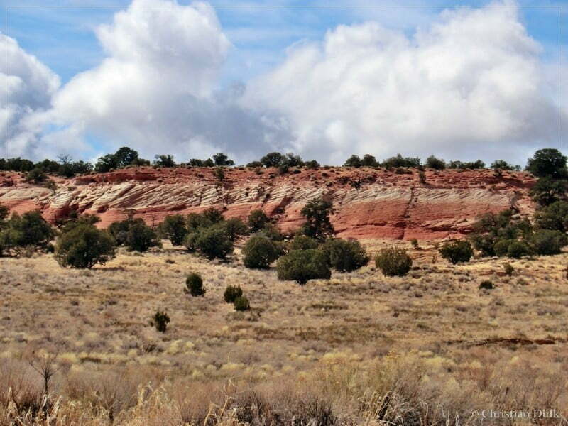
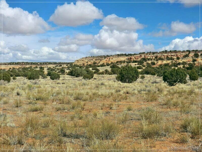
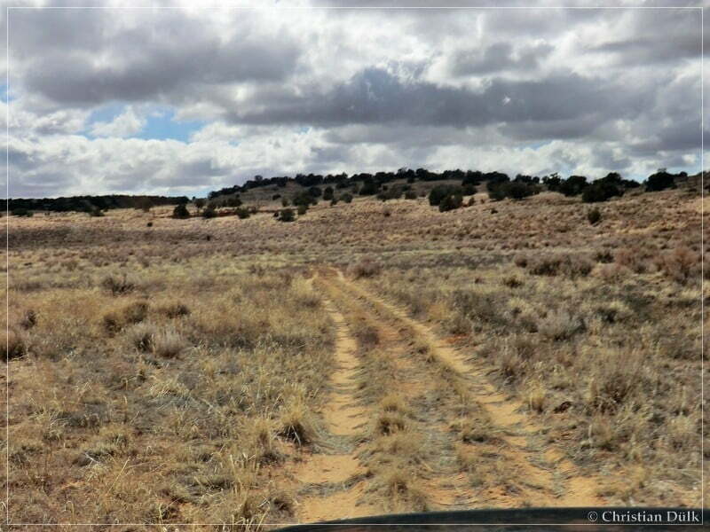
The trail continues towards Bush Head Valley Ranch.
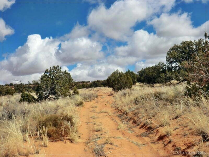
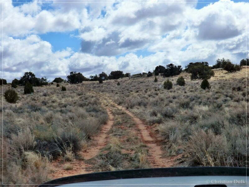
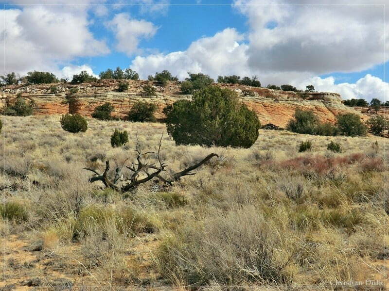
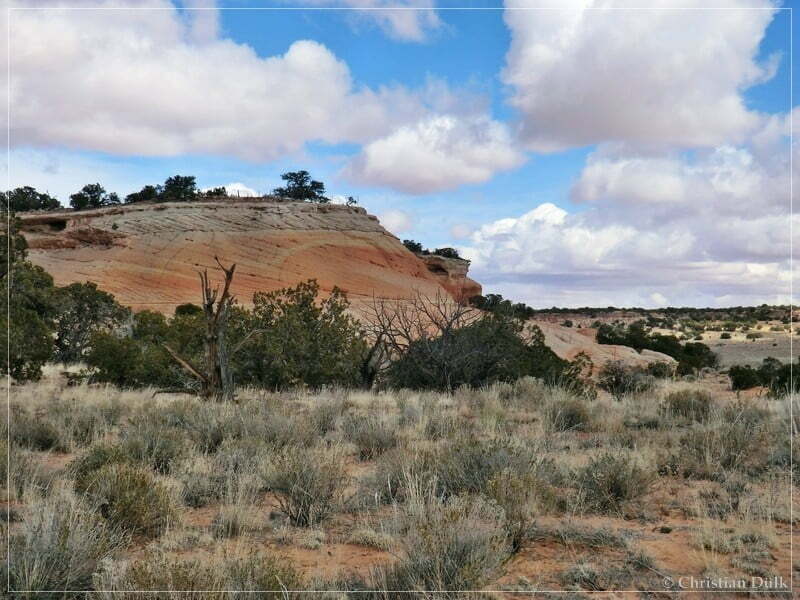
This structures we already have seen from Bush Head Valley Ranch.
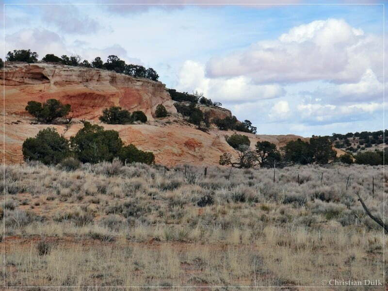
After passing that fence we soon were back at the ranch. From there we followed the trail, we used to come in. Back on the upper route, we stopped nearby Button Tank, which we wanted to visit. Button Tank is natural water tank, which is at the border of Button Ridge. We parked our jeeps at 12S 43070X 407934X and hiked cross country.
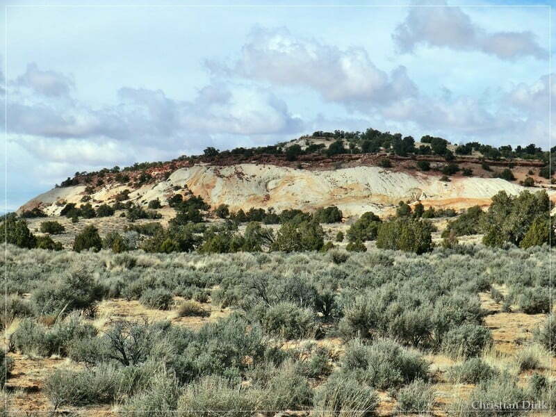
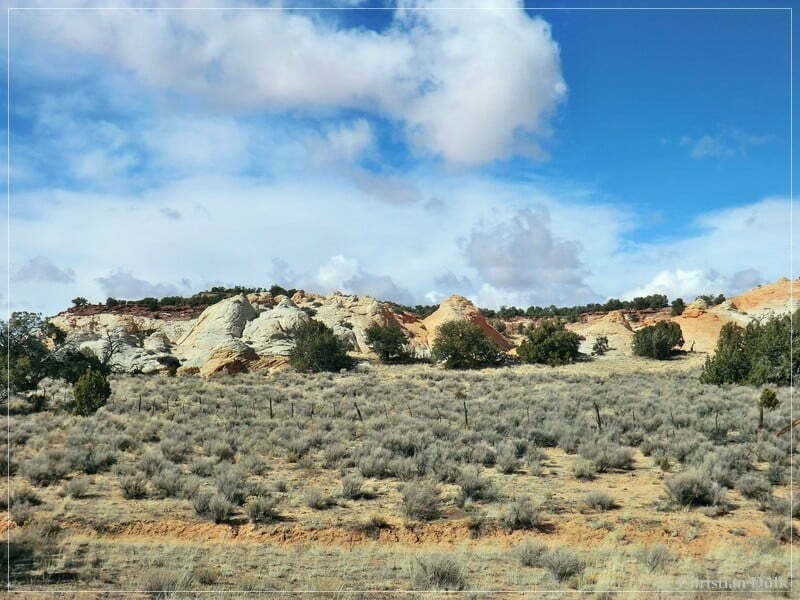
Here a view to ‘Middle Knoll’.
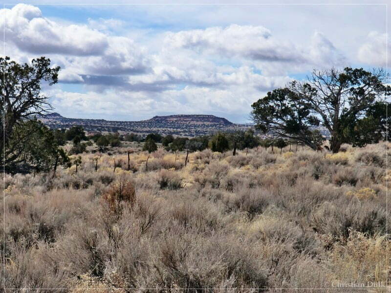
Button Tank has wonderful colors. We stayed here for a while and explored the region.
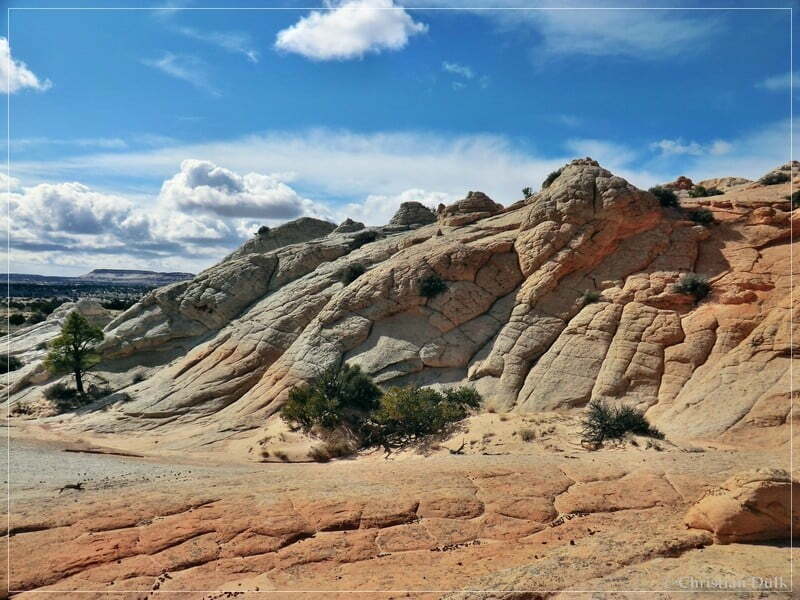
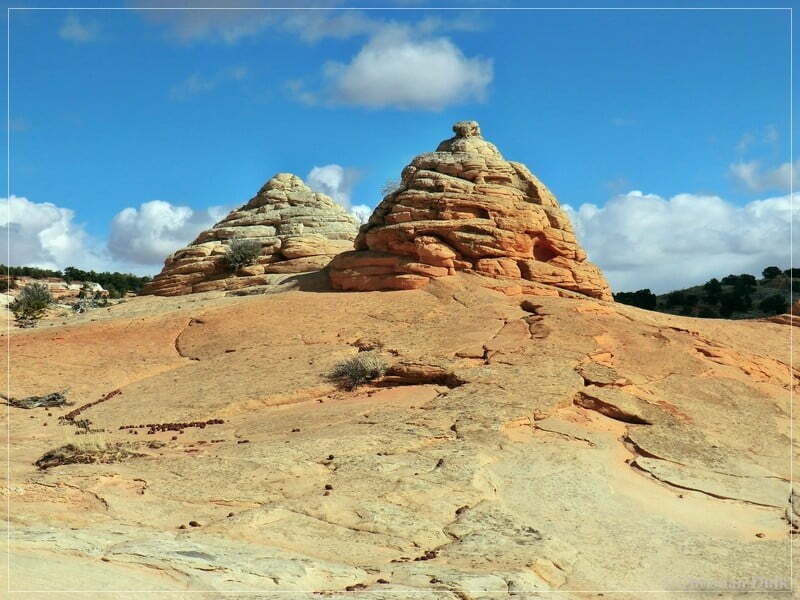
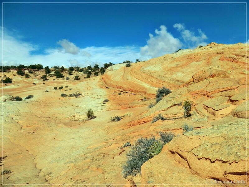
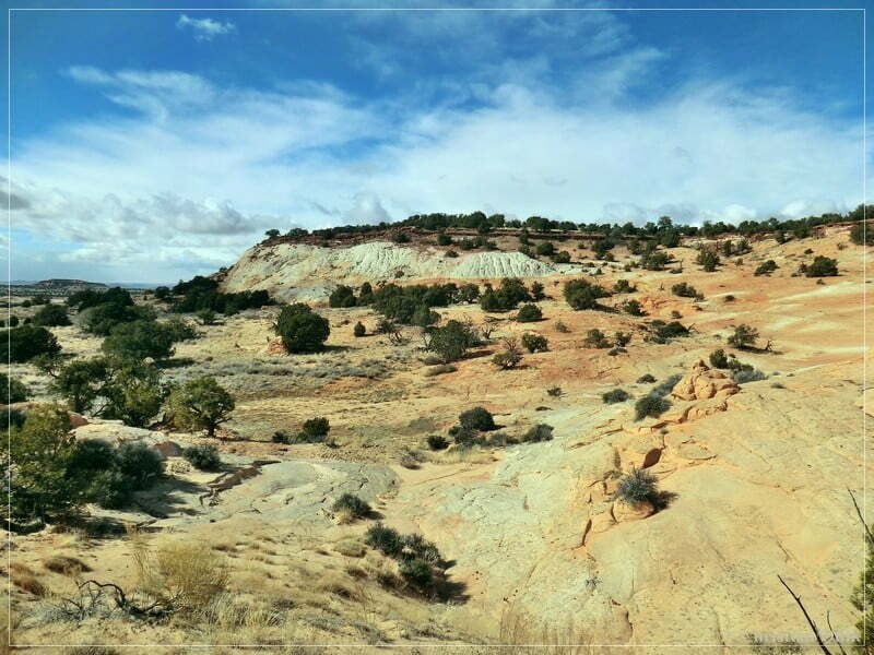
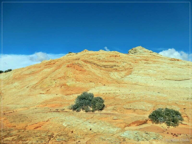
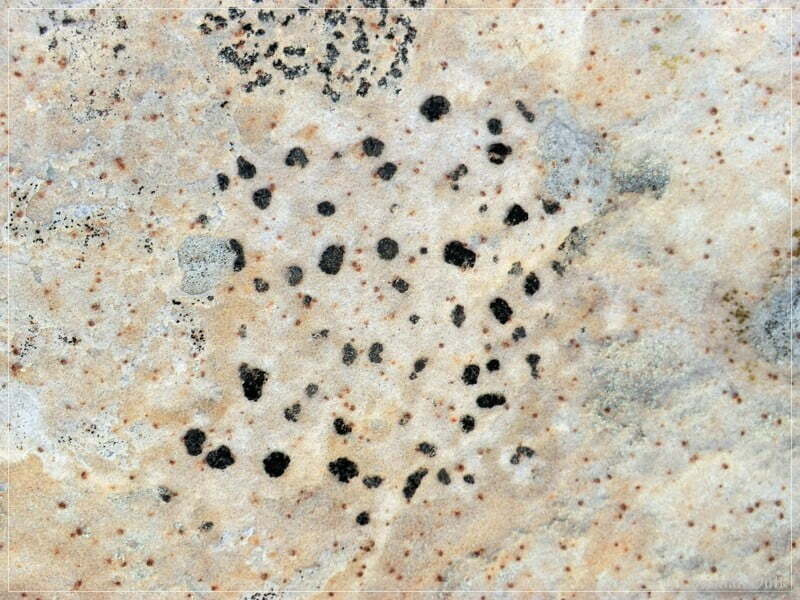
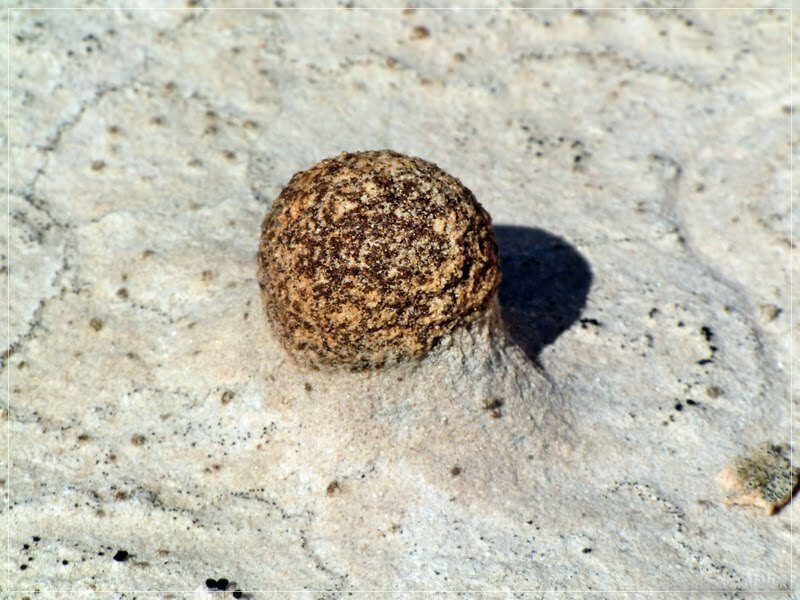
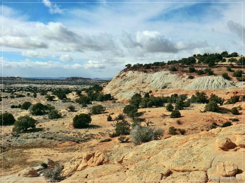
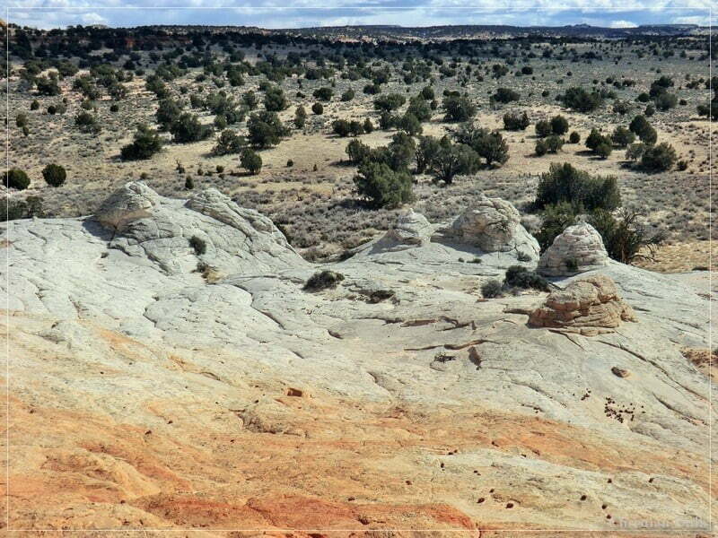
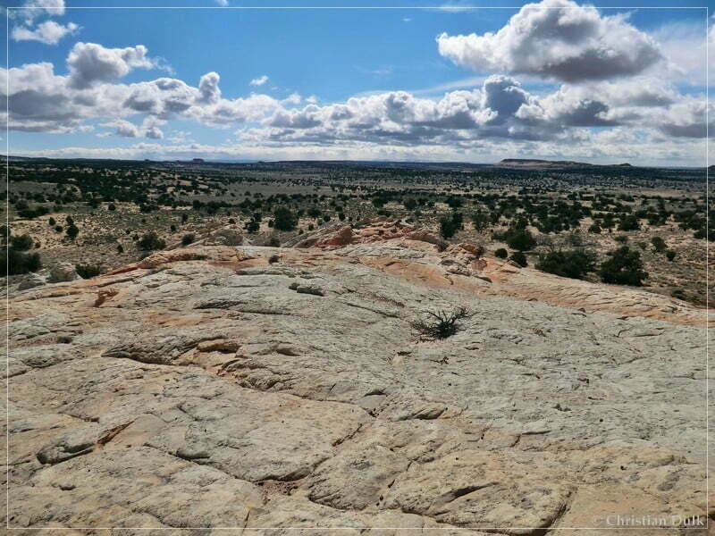
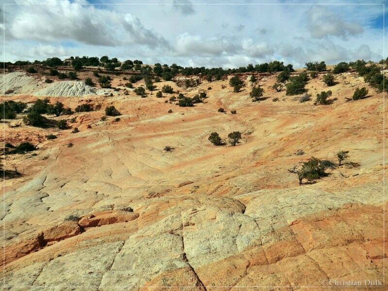
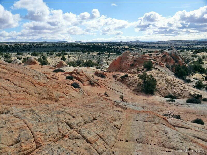
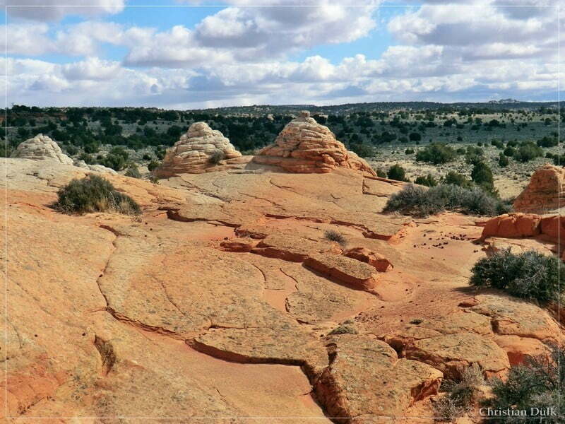
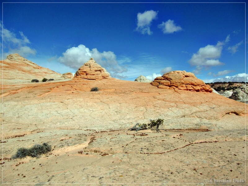
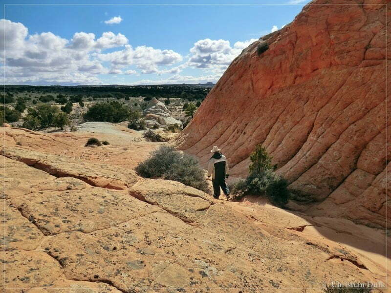
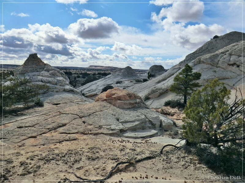
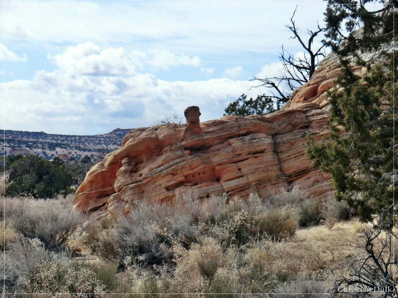
Here a view towards ‘Little Knoll’, where we wanted to stop to see the indian paintings.
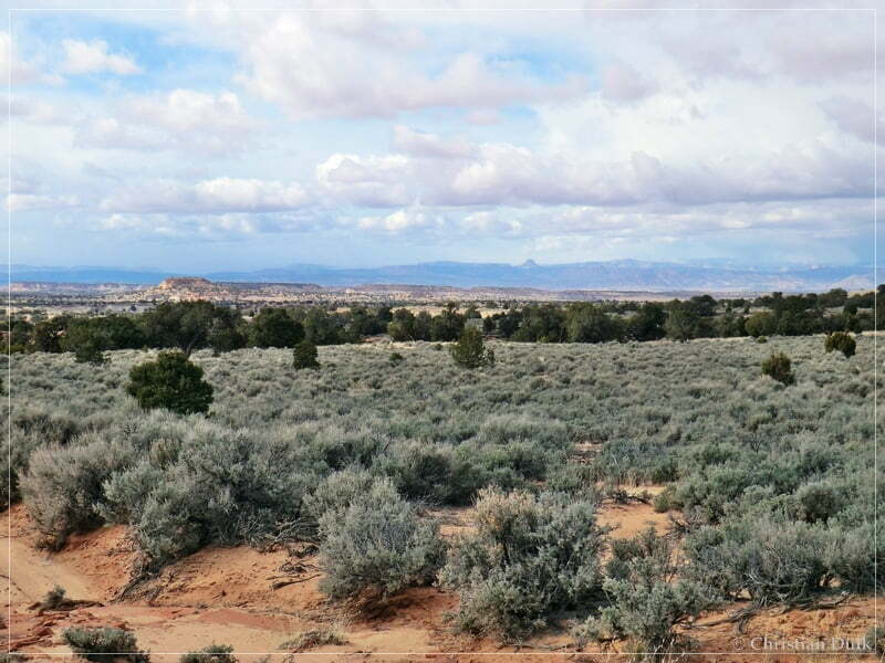
First we turned right at 12S 42763X 408119X to reach Middle Reservoir, which we already saw last year on our trip to Powells Monument. But Mike didn´t know Middle Reservoir, so that we had a nice short stop here.
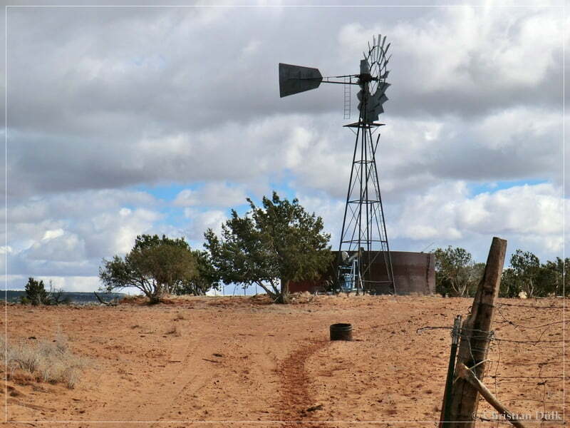
From here one can also see Button Ridge, where we had been a few minutes before to see Button Tank.
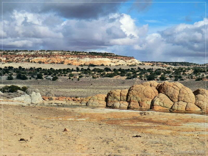
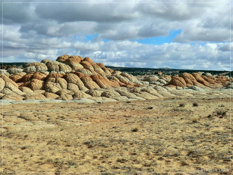
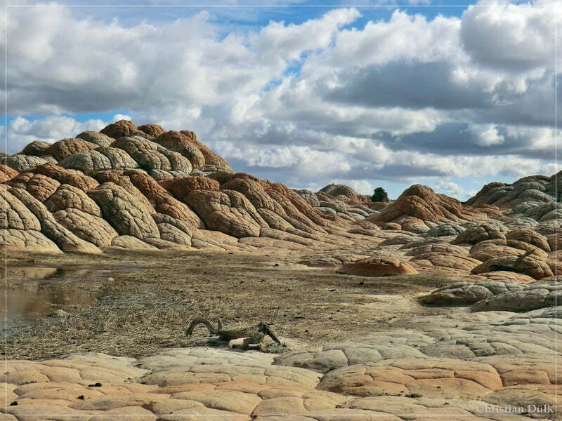
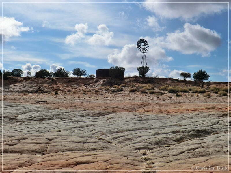
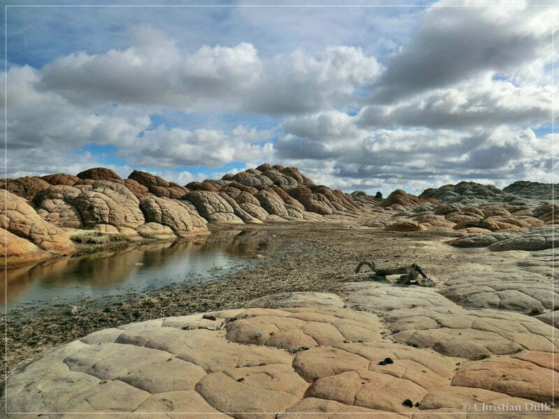
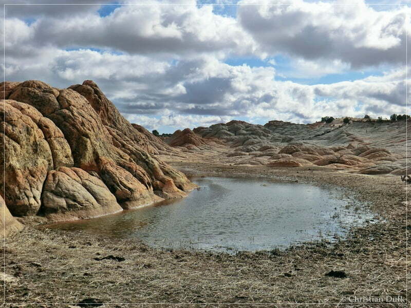
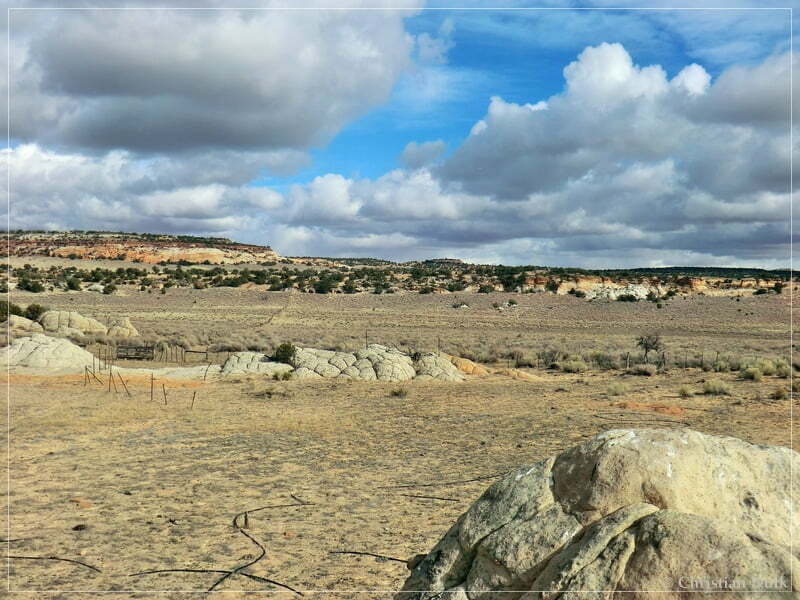
Then we went back on the route to Big Sink Valley. At 12S 42603X 408222X we stopped and climbed up to Little Knoll.
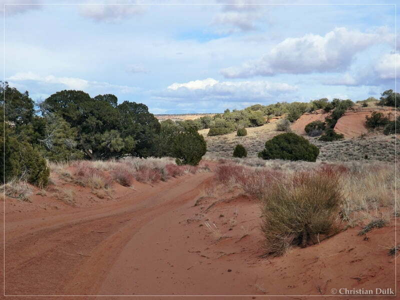
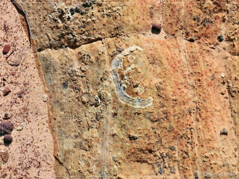
Here a few pictures of the paintings and symbols:
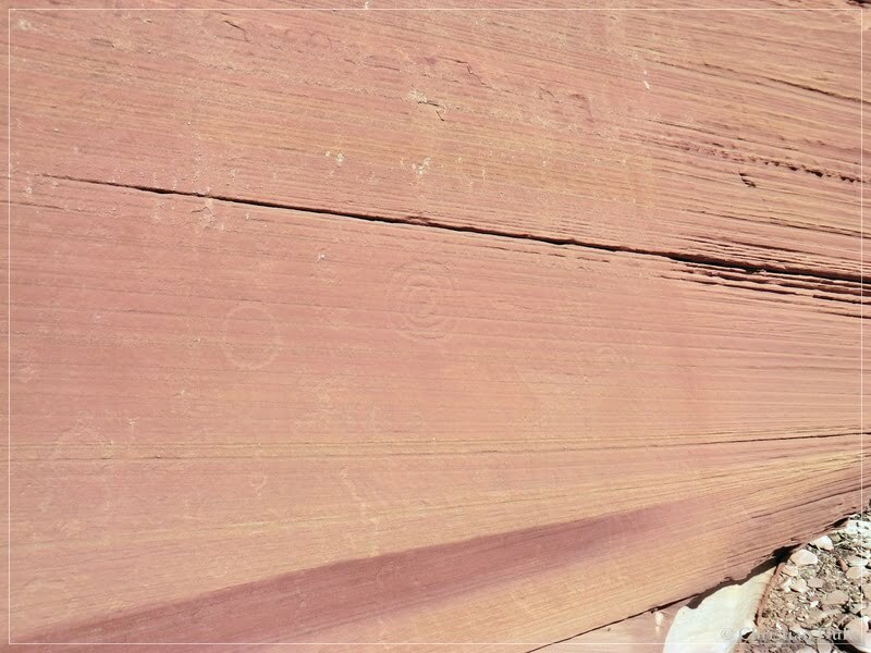
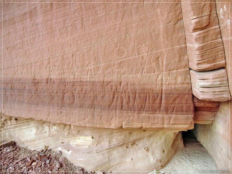
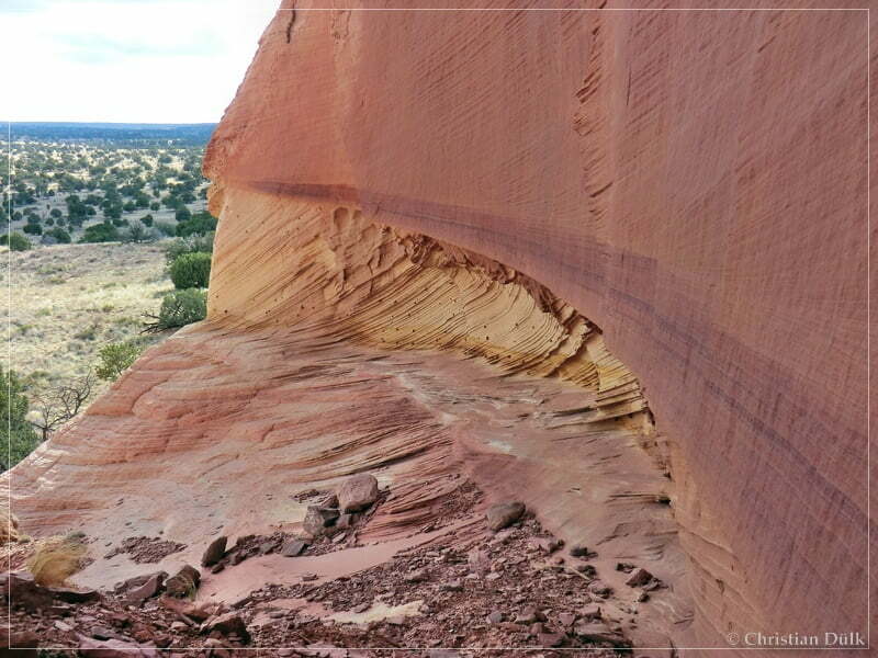
After we took our pictures, we went down into Big Sink Valley. There we turned left at 12S 42054X 408256X on the trail, which meets the connecting trail from Pine Tree Road to Mexican Sink. This trail was at that time a pretty easy drive.
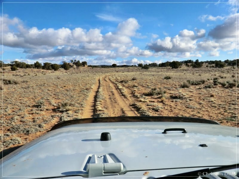
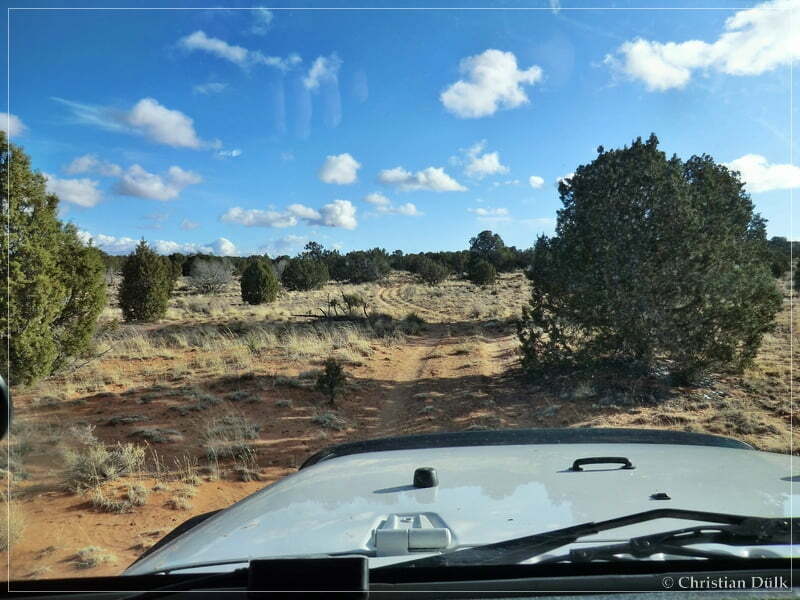
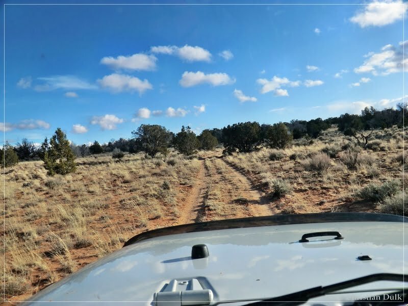
As soon as you are passing this gate, you will meet the connecting trail to Mexican Sink.
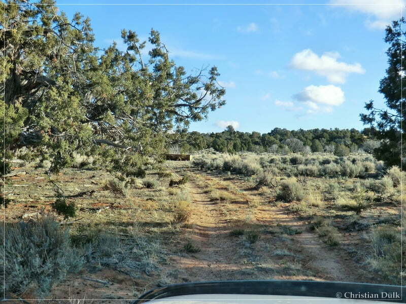
At this water tank the connecting trail crosses and we turned right to reach Pine Tree Road.
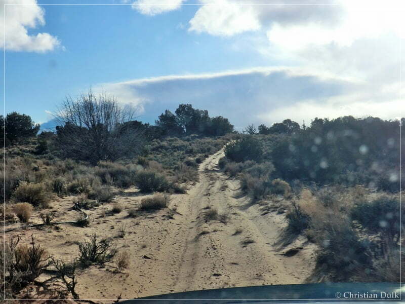
There is a fork on this trail, where both ongoing trails lead to Pine Tree Road. We followed this time the left fork, which meets Pine Tree Road closer to Pinnacle Valley.
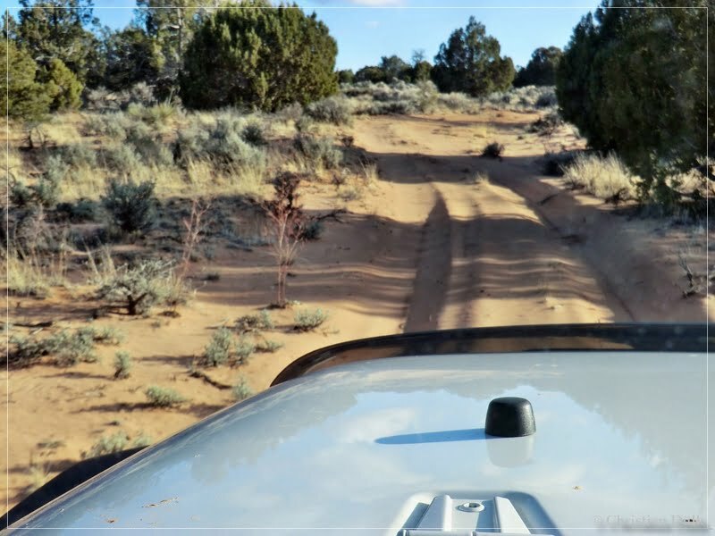
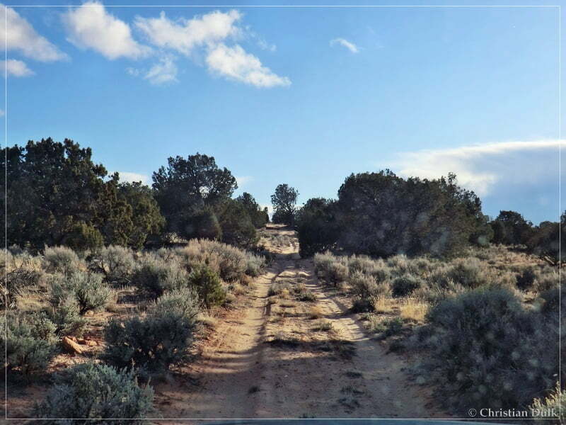
We are passing again a water tank…
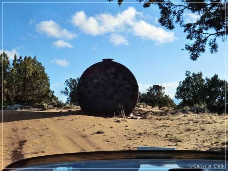
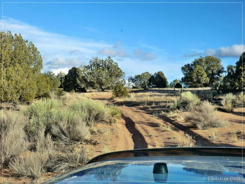
…and were soon at Pine Tree Road. We turned right to follow the wellknown route back to House Rock Valley Road.
Here one can also download a gpx file of this trip:
Tracklog: Bushhead Valley, Vermilion Cliffs NM (1044 downloads )
And the map gives an overview over the region, we visited:


