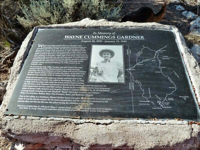
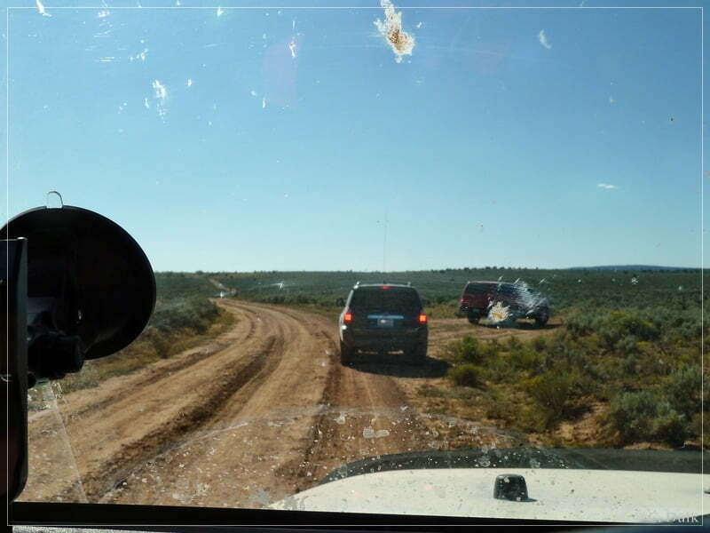
As a part of our one week Arizona Strip trip, where we also visited Kelly Point, we went down to Grand Gulch Mine. We started from our Poverty Mountain camp. On CR103 we drove to the south, before we made first a right turn at 12S 26453X 402510X (UTM/NAD27) to visit the Wayne Gardner memorial (BLM1071). This memorial is for a rancher who lost his life trying to get feed to his sheep during the terrible winter of 1949.
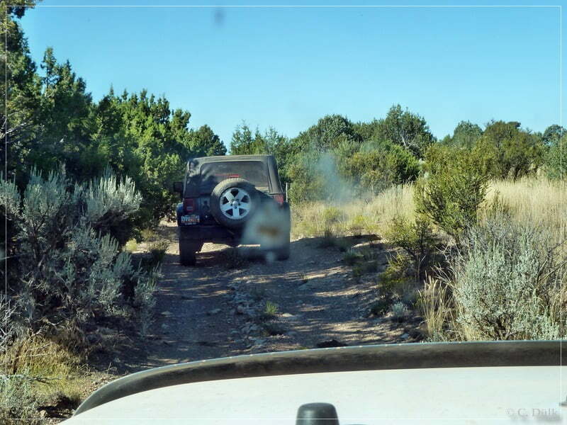
The trail itself is easy to drive…
…and after a short time we reached the memorial:
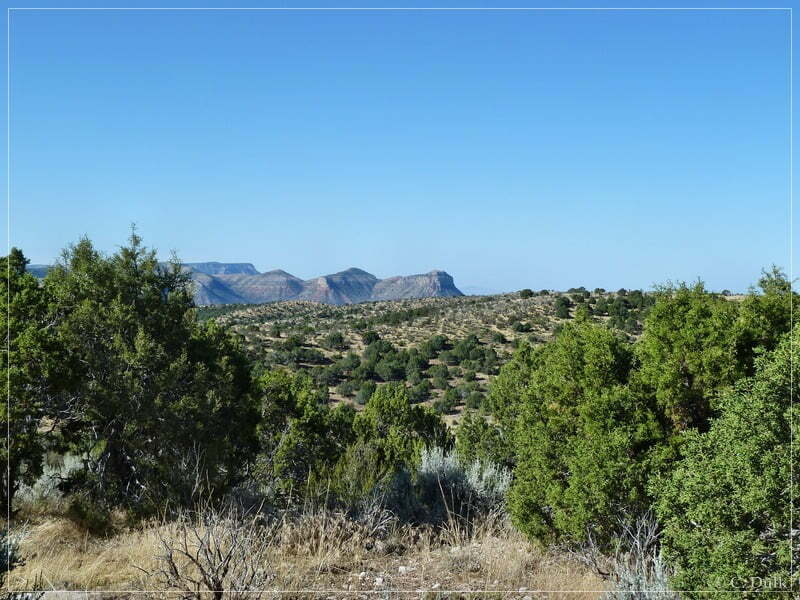
From here one can have very nice and scenic views to the vicinity:
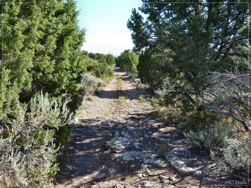
Back to CR103 we used the same trail:
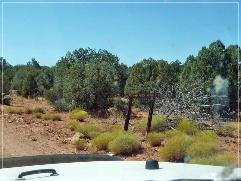
We continued in southward direction on CR103 and reached the turn off to Pidgeon Canyon at 12S 26557X 402151X (BLM1002):
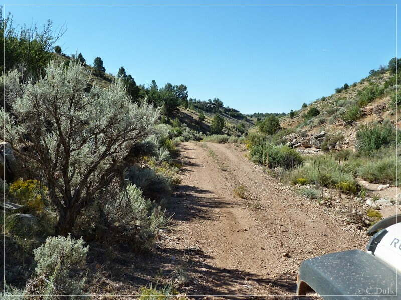
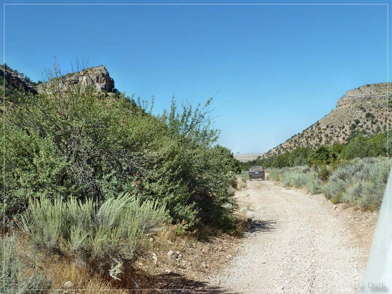
The approach to the canyon is a little unique as one is not just entering the canyon, it is a slight decend into the canyon itself:
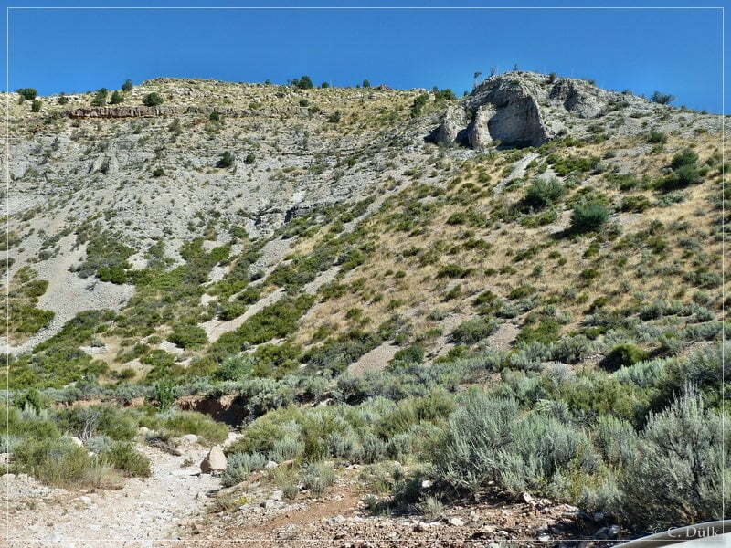
Stu, my copilot, informed than the other colleagues, that we should have a short stop to find a geocache nearby.
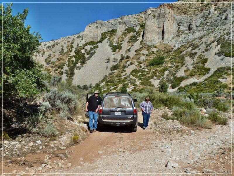
We left the vehicles and were looking for the geocache…
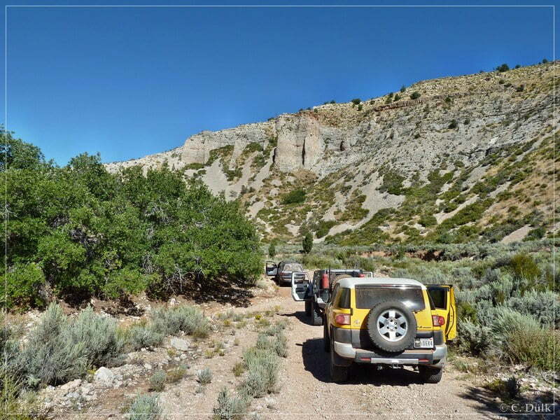
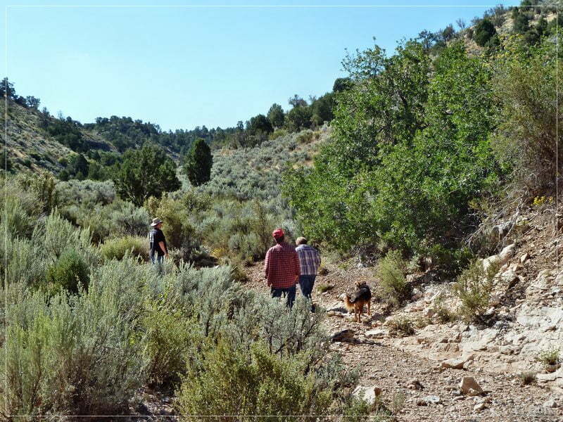
… and it was found. After this we continued on the easy trail through Pidgeon Canyon:
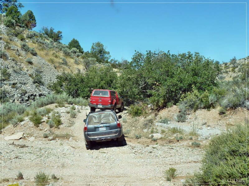
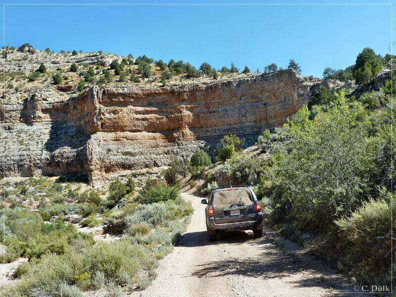
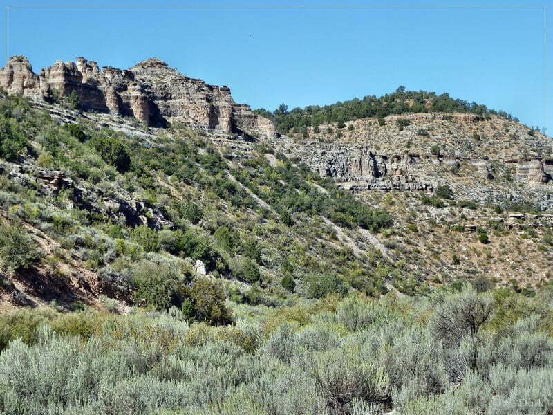
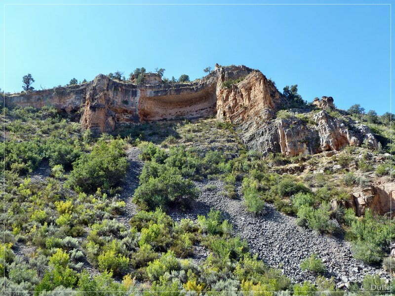
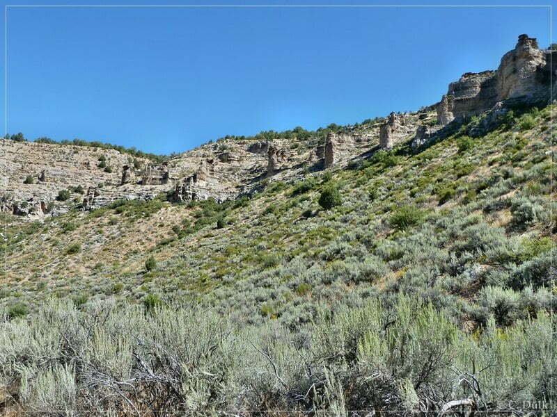
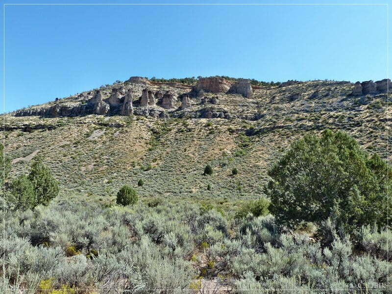
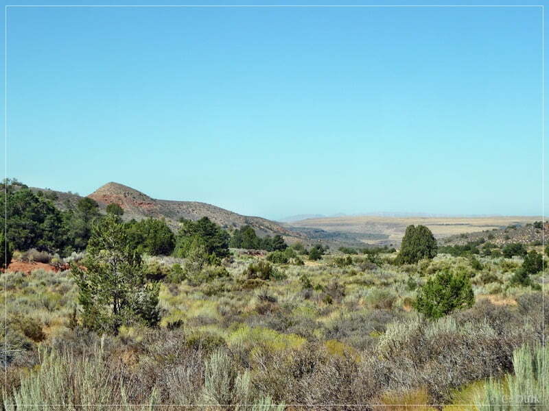
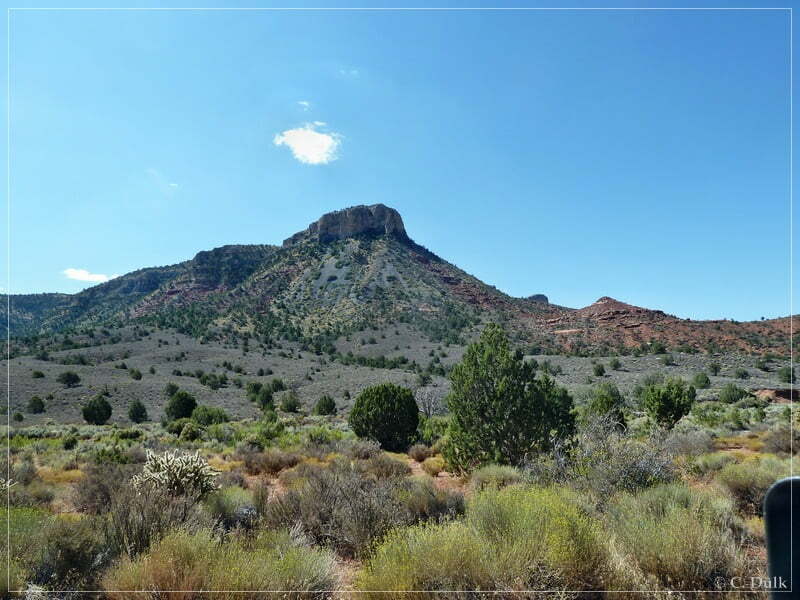
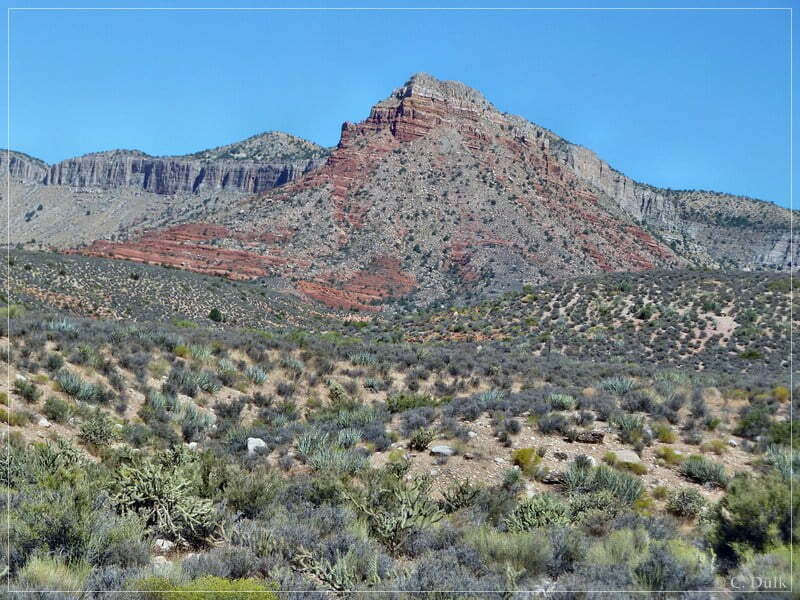
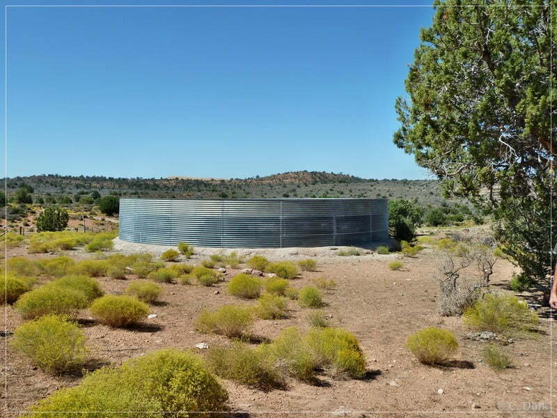
After some time we reached the turn off to Grand Gulch Mine (12S 25401X 402075X). At this turn off is also a water tank. We had a short stop to check everything there:
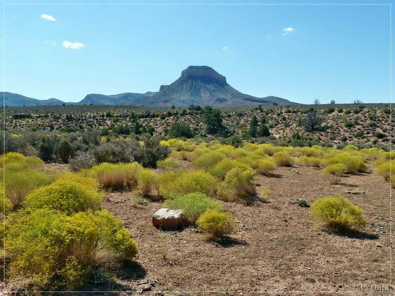
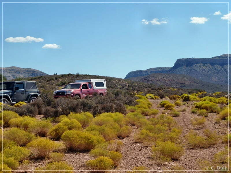
Here is the water tank…
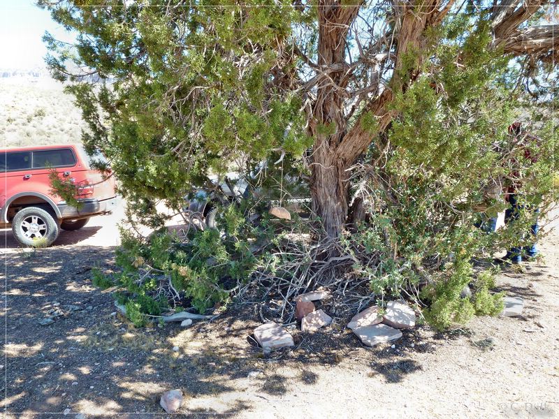
…and here is a ‘weather rock’, which is supposed to show, what the weather will be like:
We were continuing towards Grand Gulch Bench…
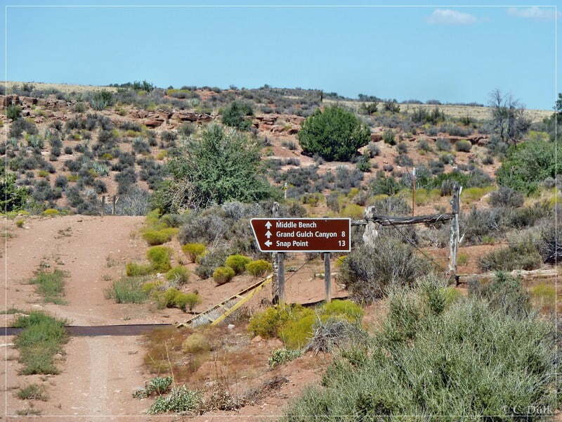
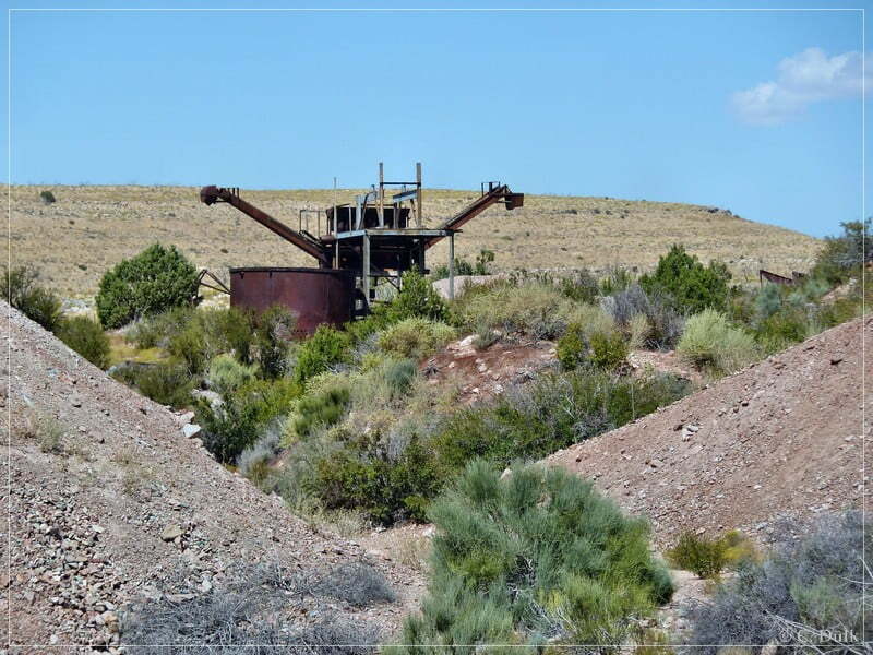
..and soon arrived at Grand Gulch Mine:
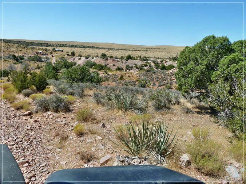
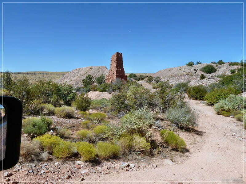
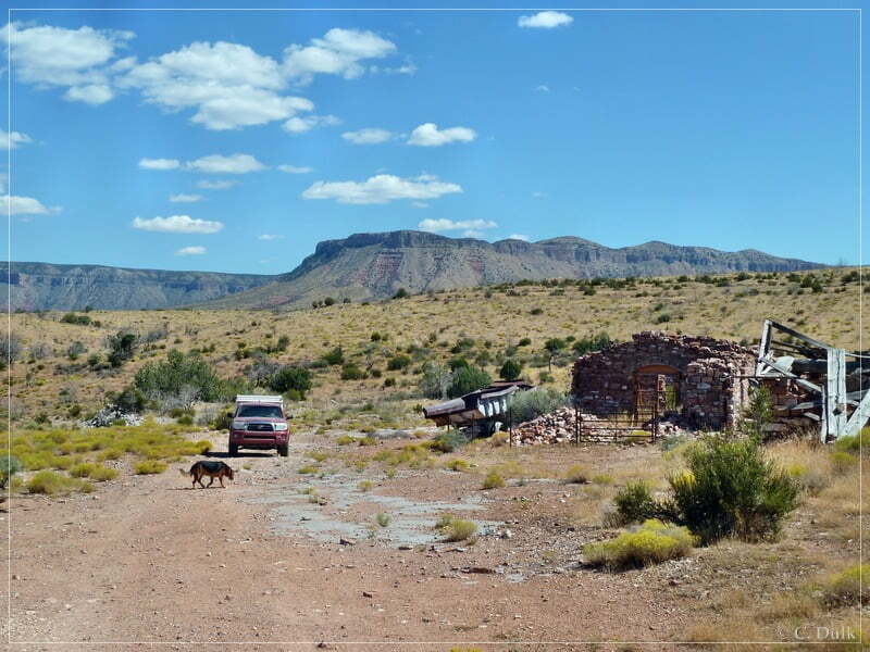
Grand Gulch Mine was a very profitable copper mine in the Arizona Strip and the buildungs there are still pretty good in shape. We stopped here for a lunch break and discovered the vicinity:
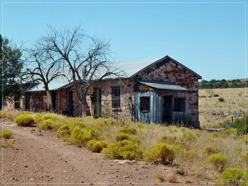
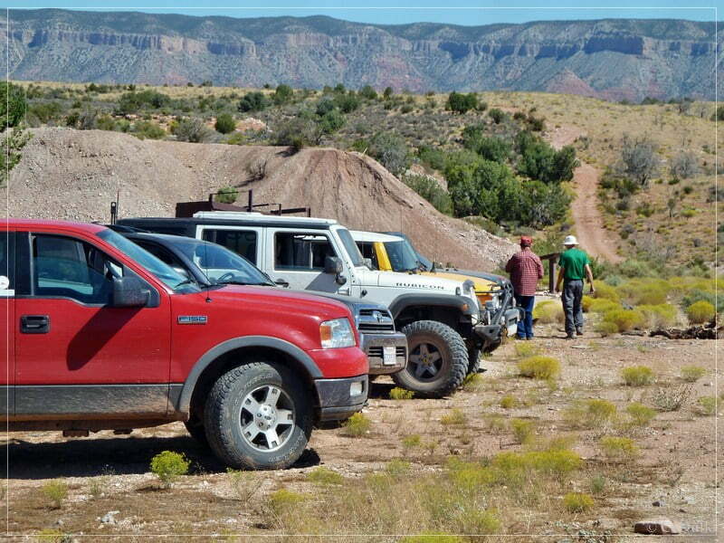
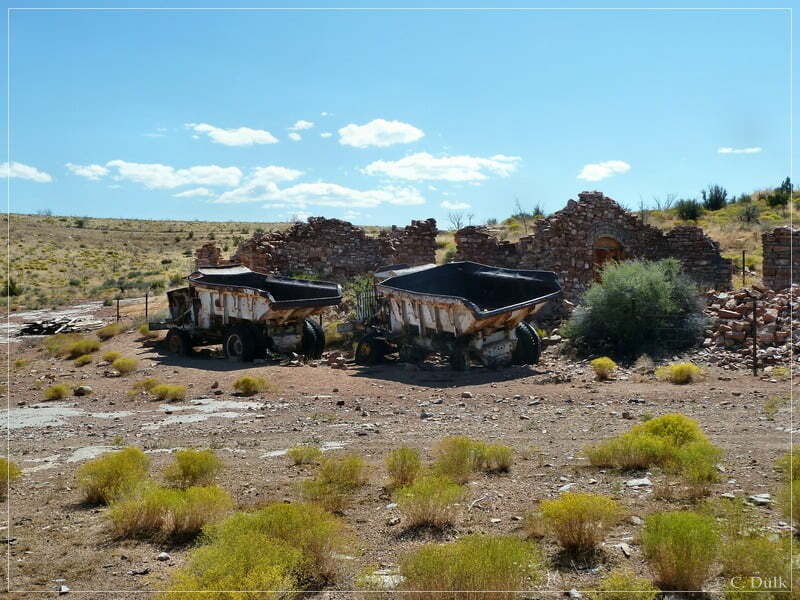
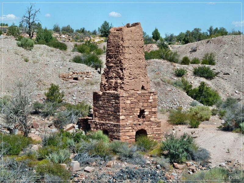
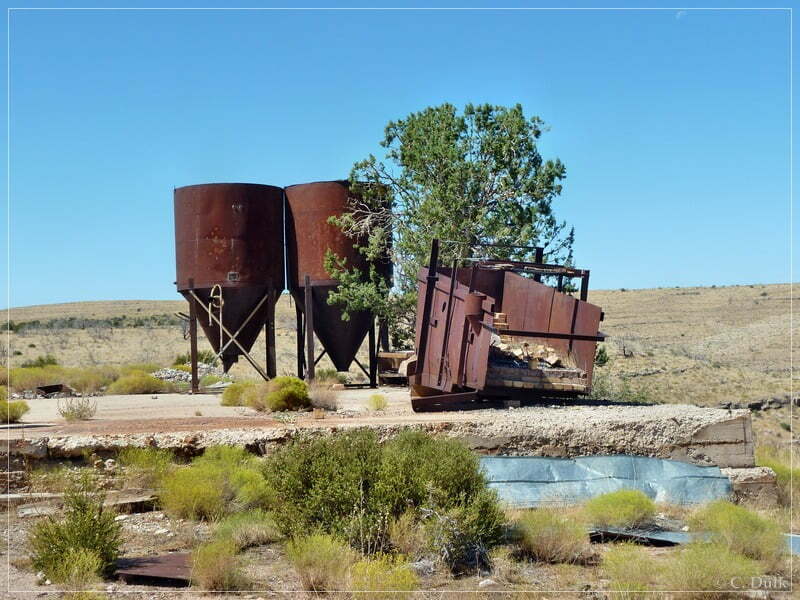
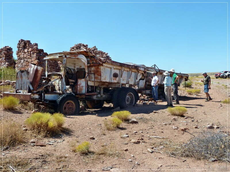
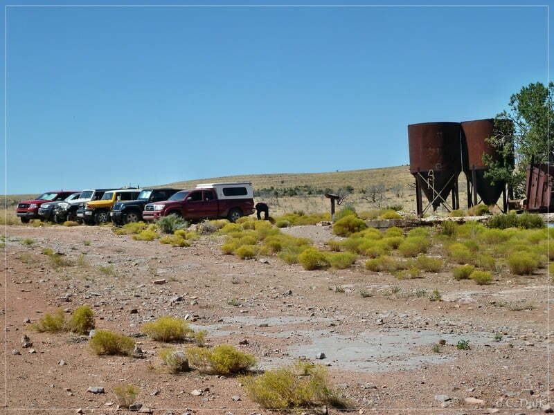
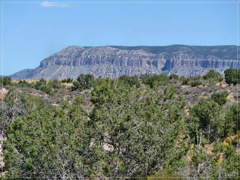
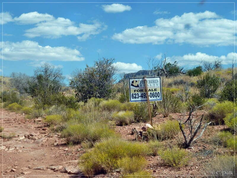
On the way out, we saw this sign post. If one is interested, he might buy this mine 😉
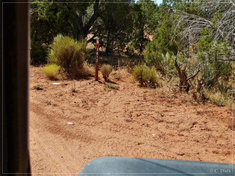
At the turn off where we came from Pidgeon Canyon, we continued now straight towards Snap Canyon on BLM1012:
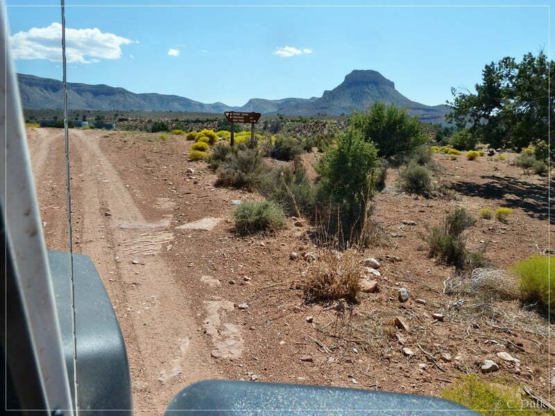
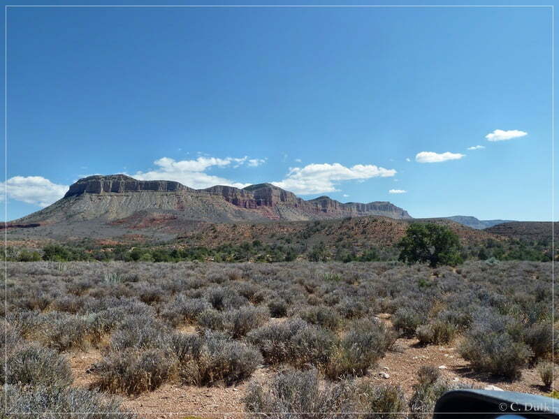
To the right is Snap Point:
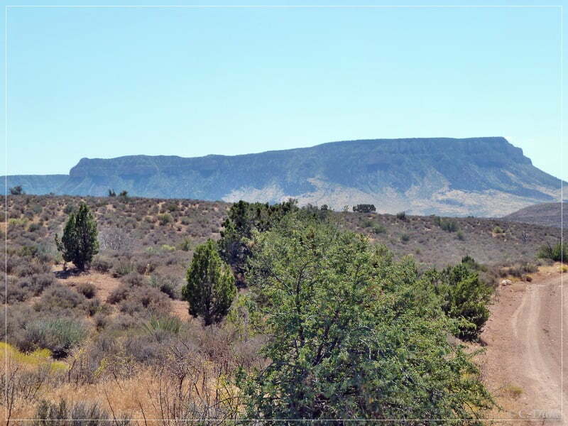
And to the left one can see things like Mustang Point:
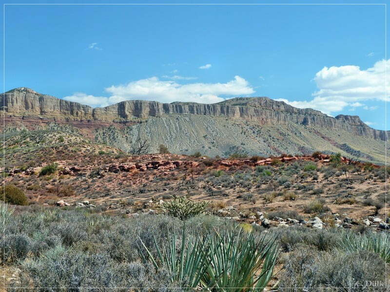
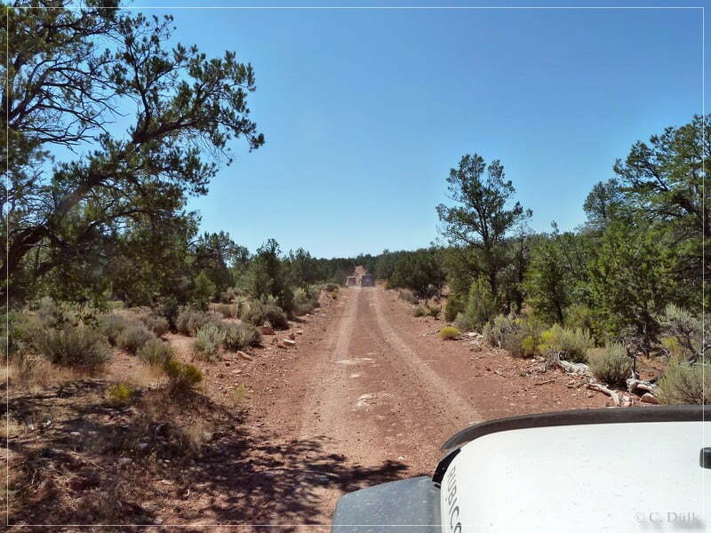
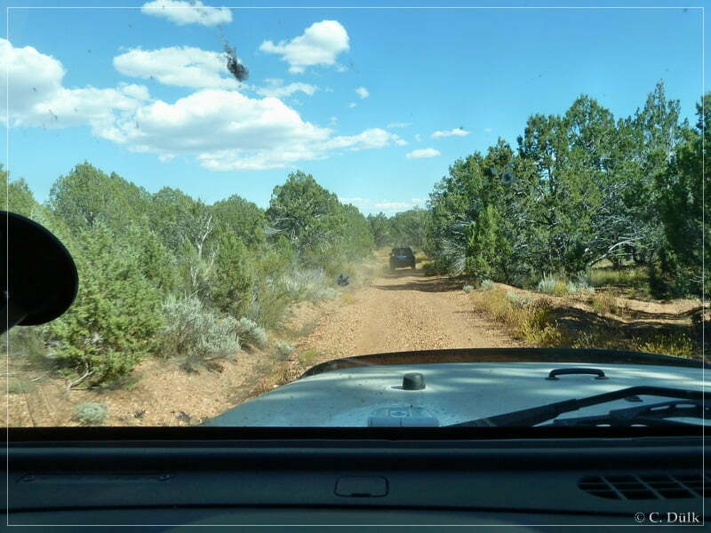
We drove on an easy trail towards Snap Canyon:
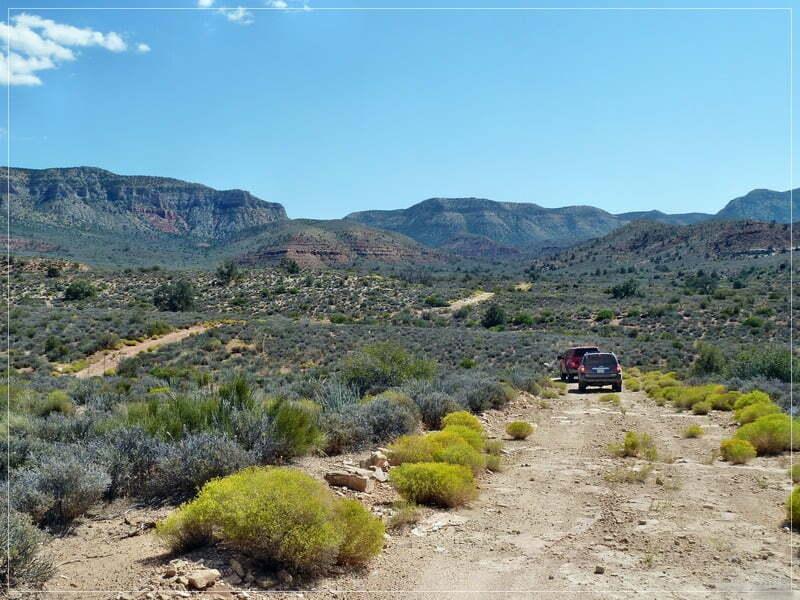
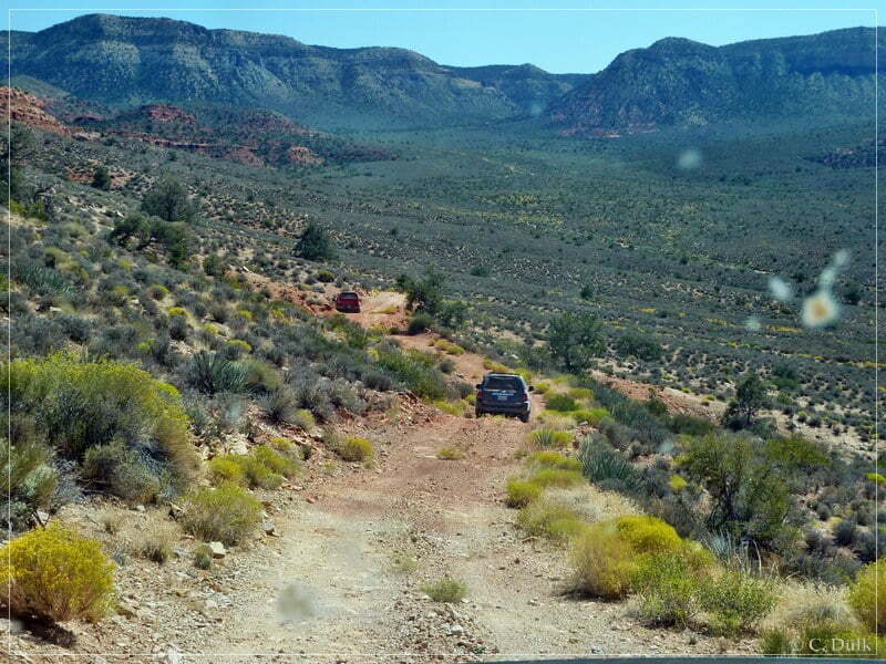
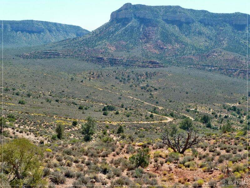
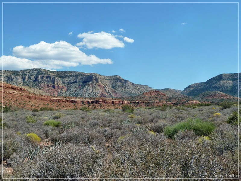
After some time we arrived at the 1887 line shack, where also a log book is offered to register:
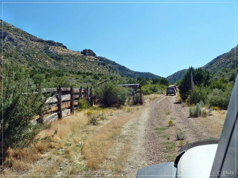
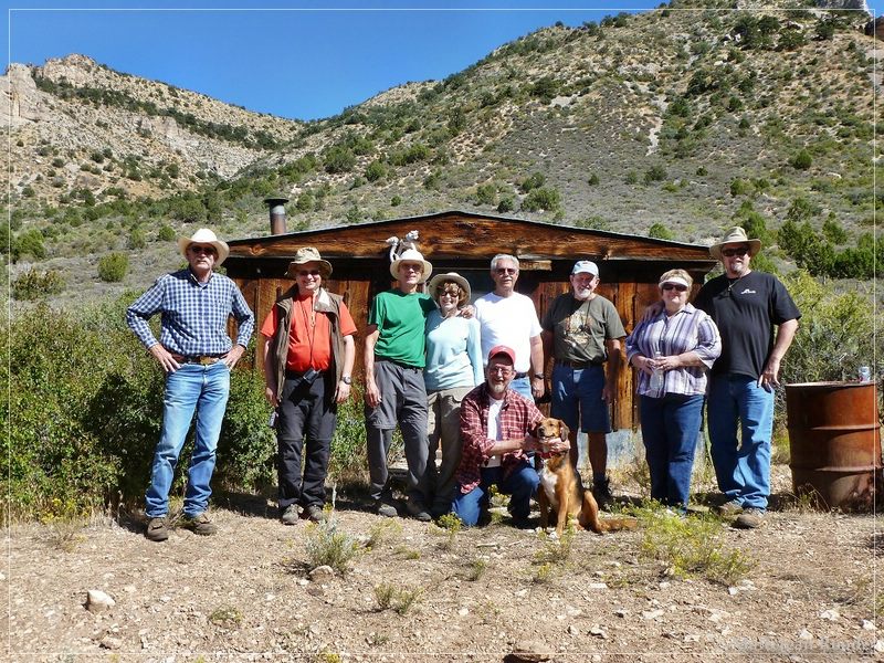
(Thanks to Mal Roode for this picture)
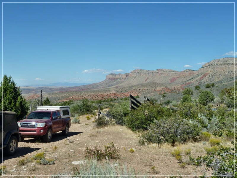
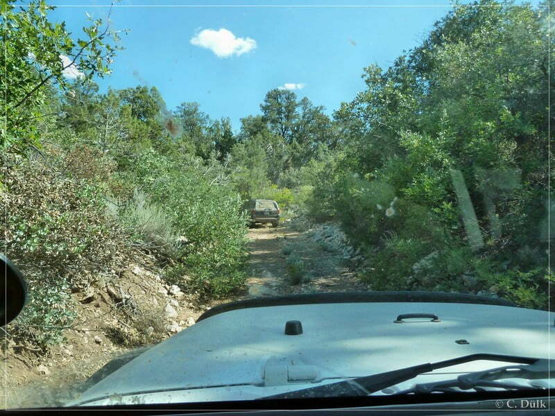
Then we went up Snap Canyon:
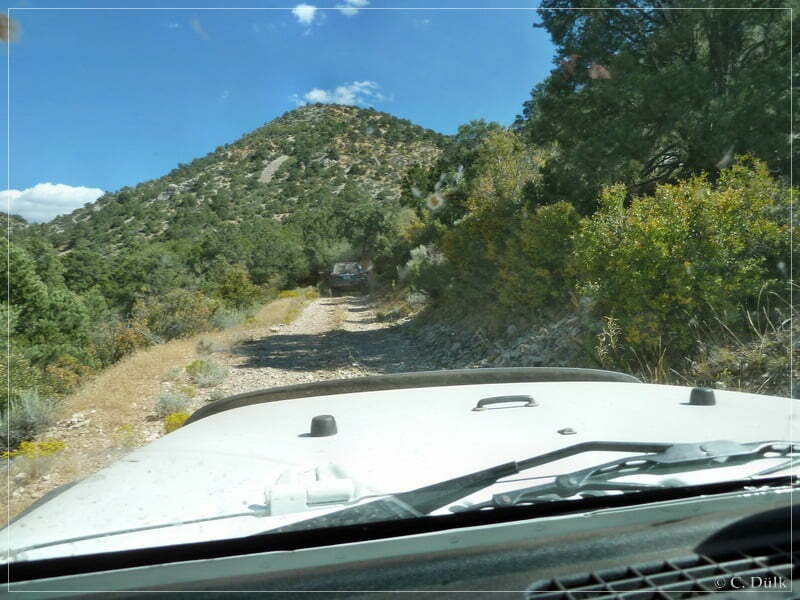
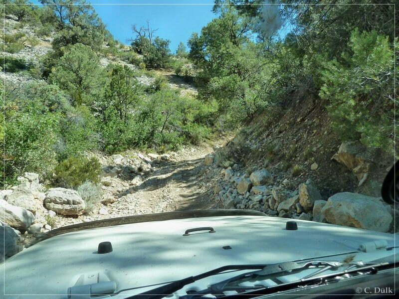
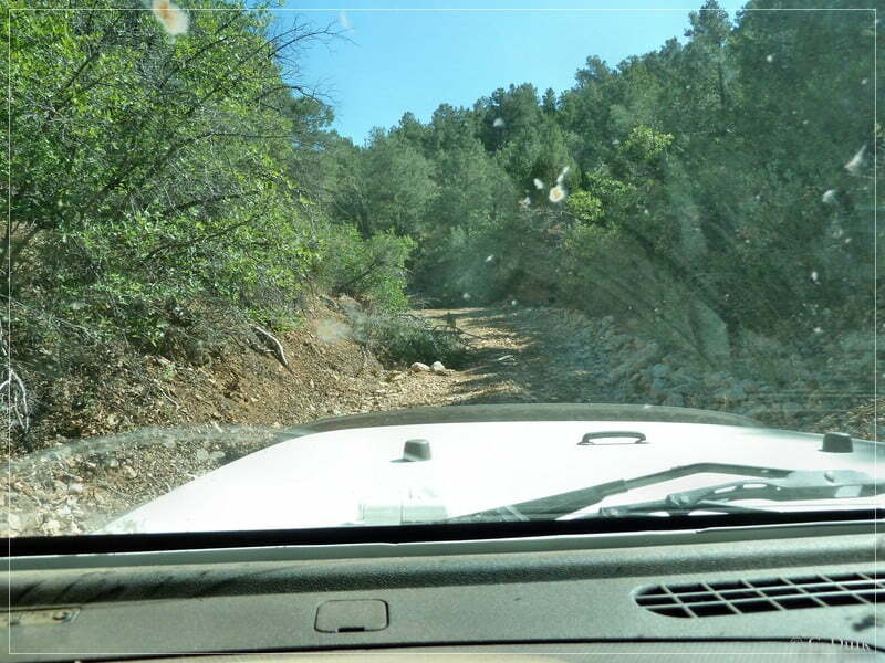
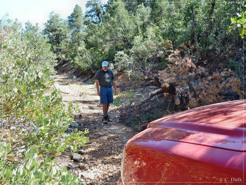
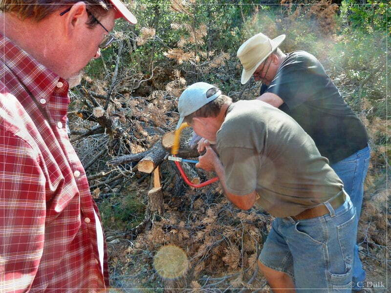
The track width got smaller and smaller and we had to use again our saw to cut a tree:
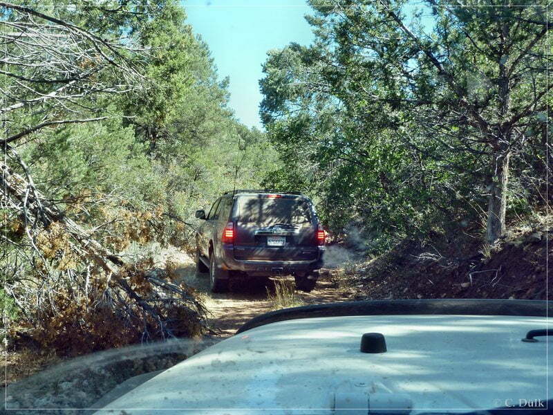
After we came out of the canyon, we went back to our base camp via Snap und Salt House Draw and CR103.
For a better orientation, one can download a gpx file of this trip:
Tracklog: Grand Gulch Mine, Arizona Strip, AZ (1198 downloads )
And here is an overview of the area, we visited:


