Since a long time we saw on the topographic maps of the Vermillion Cliffs NM the two landmarks Powells Monument und Paria Needle. This year we thought, lets try it. Most of the people are doing this as a two day trip with a camp at Powells Monument. We did not want to camp there, so we did this tour as a one day trip. Bob, an absolute expert for the Paria Plateau and the Vermillion Cliffs, NM told us, that he and his friends usually need around 2.5 hours from Pine Tree Road up via Big Sink to Powells Monument..
We wanted to go on a different route towards Big Sink Valley. We went into the route, which also leads to Mexican Sink. From Big Sink Valley we wanted to use the ‘upper route’ to go down to Shed Valley and then up to Powells Monument. This part of the route, which goes up to Big Sink Valley is also part of the route, which goes to Hole-In-The-Rock and White Pocket.
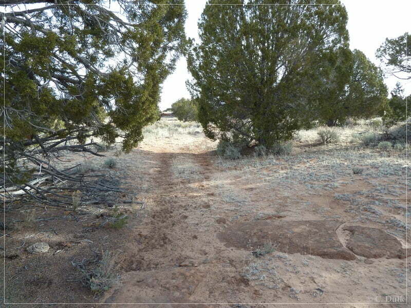
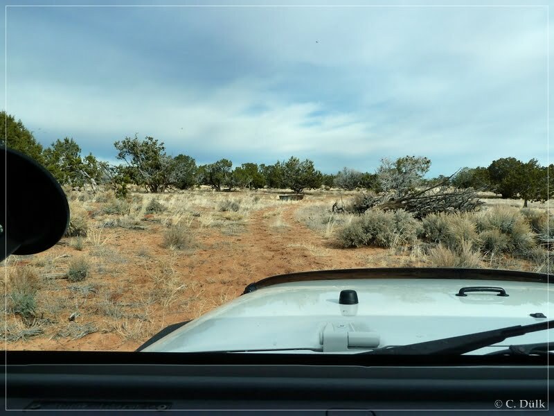
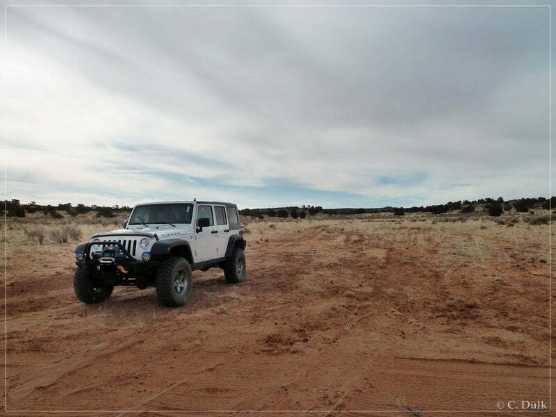
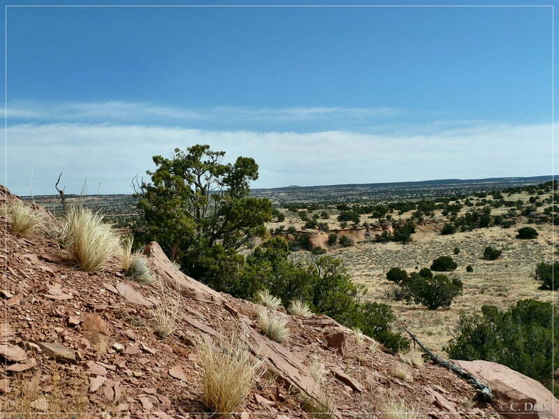
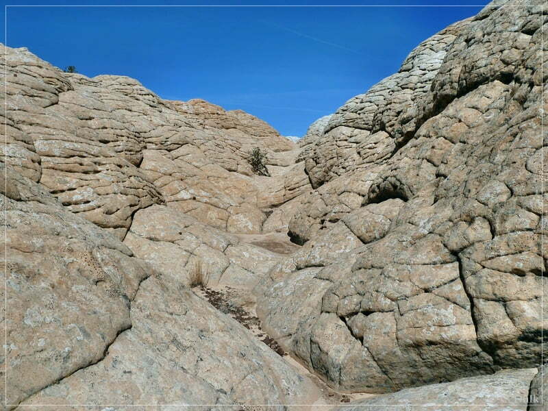
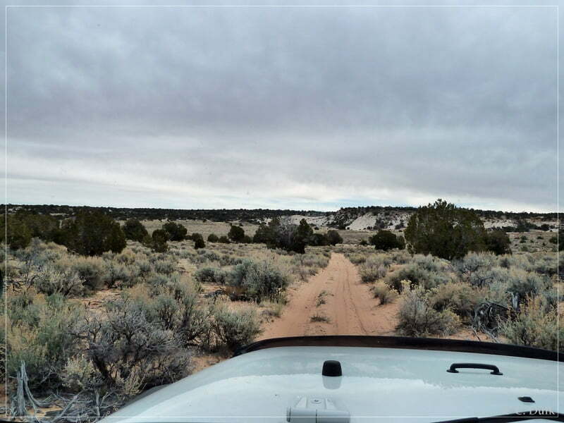
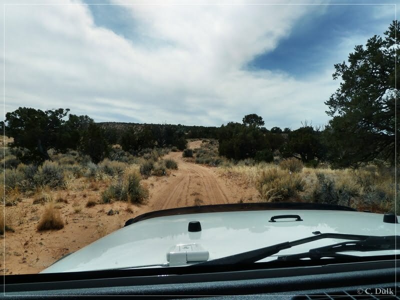
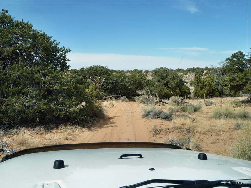
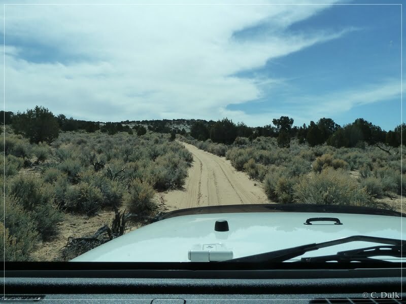
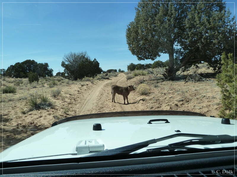
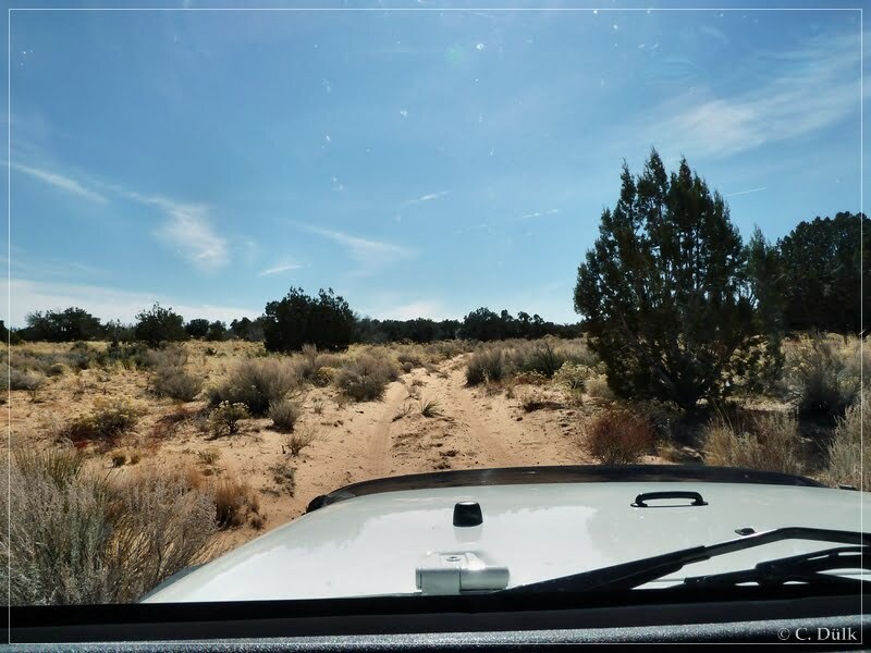
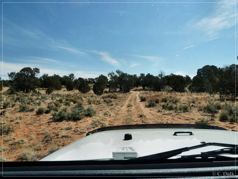
We are again starting from House Rock Valley Road at the turn off into Coral Valley. This right turn, when coming from US89A, can be found at 12S 40530X 407987X (UTM/NAD27)). After the right turn we were driving up until we reached the fork (12S 40981X 407958X), where Pine Tree Road continues to the right. The left fork leads to the Sand Hills Ranch. We were continuing on Pine Tree Road. After passing a ranch (12S 41430X 407774X), where the sandy trail to Big Sink Valley goes to the left, we were still continuing on Pine Tree Road. After passing the right turn to Bonal Springs Rim (12S 41474X 407746X, BLM 1104) we were soon reaching at 12S 41666X 407668X a spur trail, which goes to the left. It seems, that were the first ones on this trail since a long time, as there were no tire tracks visible. On an easy trail we are now moving forward towards Mexican Sink. Mexican Sink is not really a highlight, so if one wants only to go to Big Sink Valley, he can directly take the trail to the left at a water tank along the way (12S 41889X 407784X). The following pictures were taken along the route to Mexican Sink Valley:
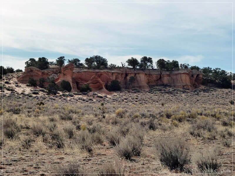
Soon we were reaching Mexican Sink:
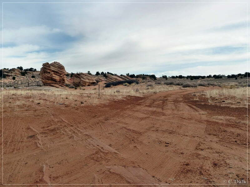
In the background one can see the trail, going up the hill. Soon the trail ends, as the route is blocked by the BLM due to the BLM route designation plan.
After seeing Mexican Sink we turned around and went back to the water tank, where we have taken the right turn to go up to Big Sink Valley (ca. 12S 41889X 407784X).
Soon we were reaching Big Sink (ca. 12S 42053X 408256X). Here we are meeting the trail coming up from the ranch at Pine Tree Road. We turned right here and continued on a sandy trail..
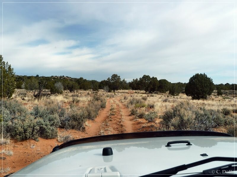
Here a view back on the spur trail coming from the Mexican Sink route. A few more pictures of this trail can be seen later in this report from our way back down to Pine Tree Road:.
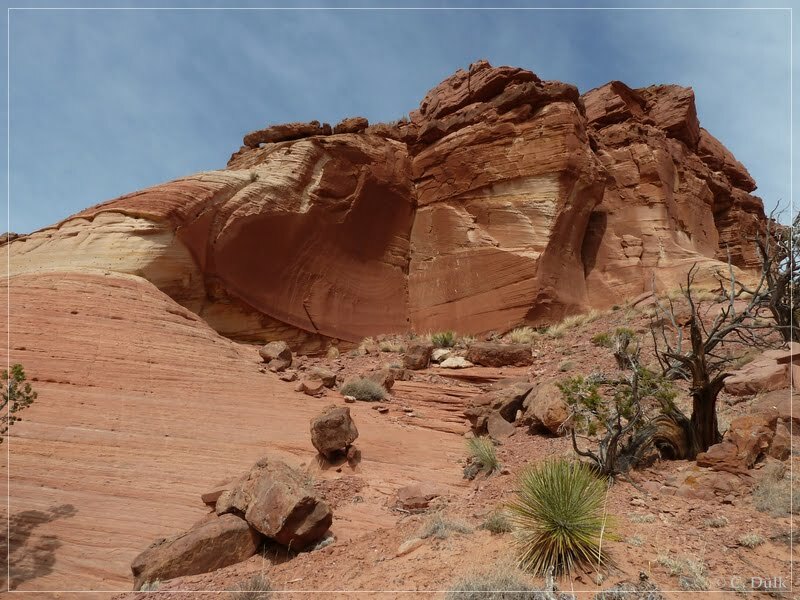
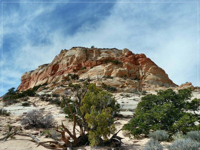
We were following the ‘upper route’ and passed the left turn to Hole-In-The-Rock (ca. 12S 42106X 408275X). We were still going along the ‘upper route’ to reach Little Knoll. There could be indian rock art found. One just has to walk up a hill to Little Knoll, then the rock art could be found easily on a wall, shown on the picture below:
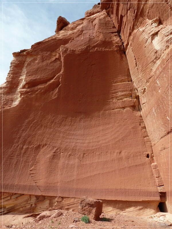
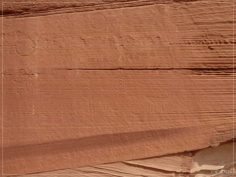
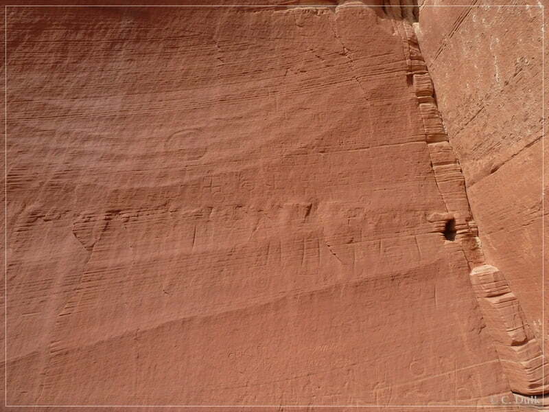
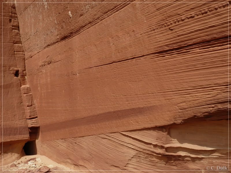
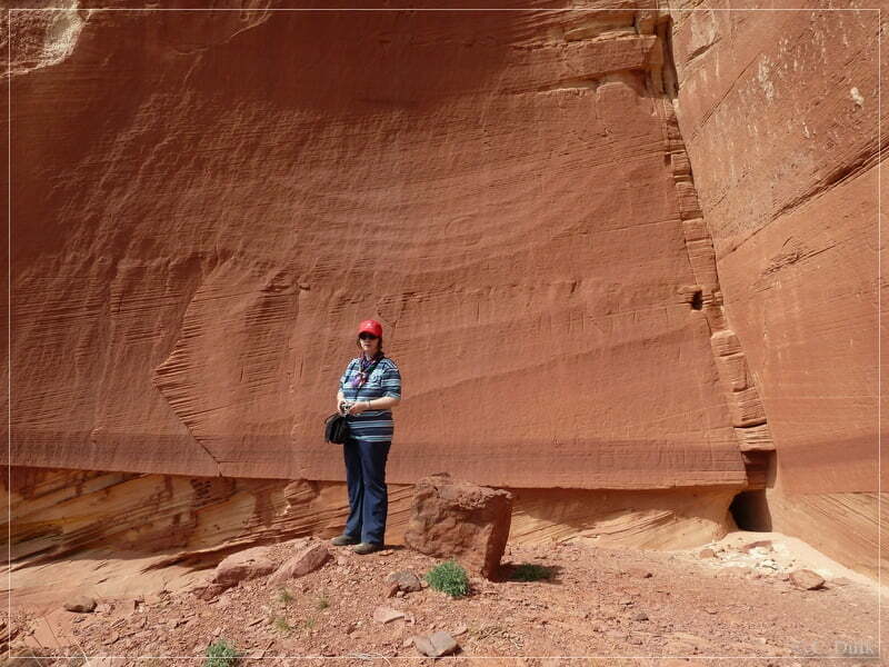
Here some views from the rock art site:
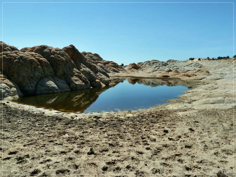
After going back to the Jeep, we were going ahead and reached the left turn to Middle Reservoir at 12S 42754X 408118X. After a short trip, we were getting to the parking area at Middle Reservoir. It is above the reservoir and one can have a good view on this natural water reservoir. This kind of reservoir could be found quite often on the Paria Plateau.
Some water was also there:
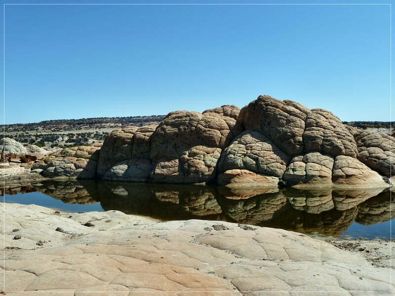
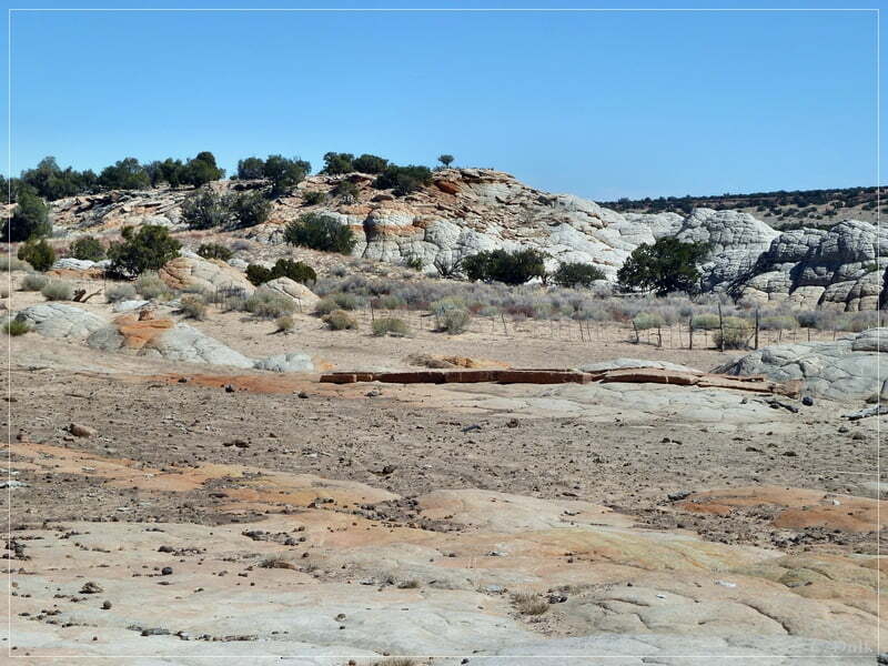
Here a few more shots from the reservoir and the vicinity:
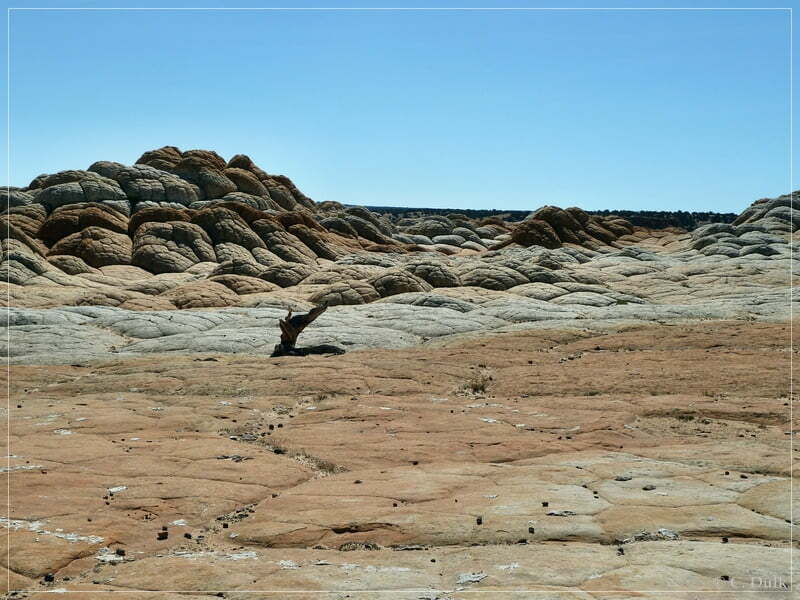
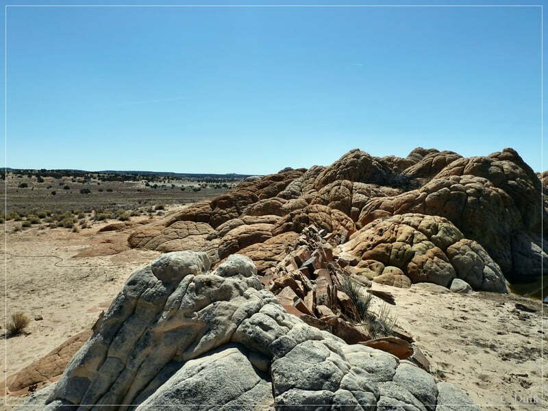
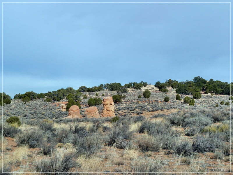
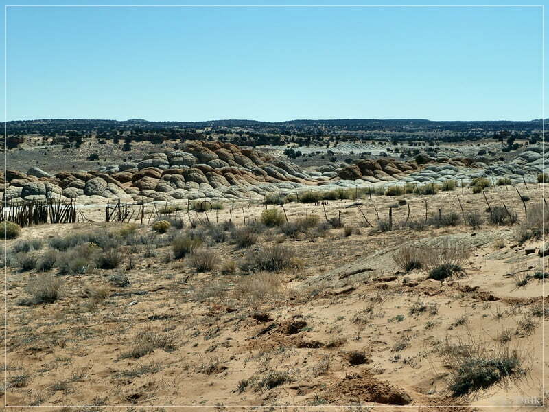
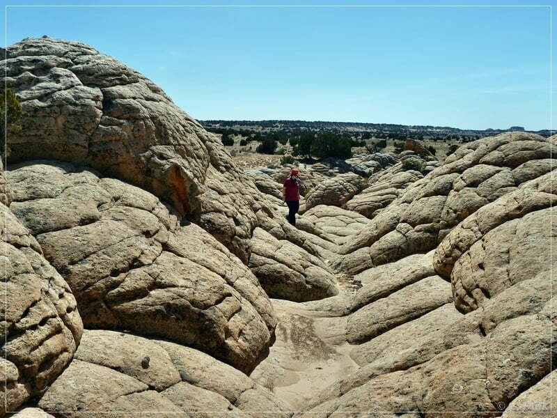
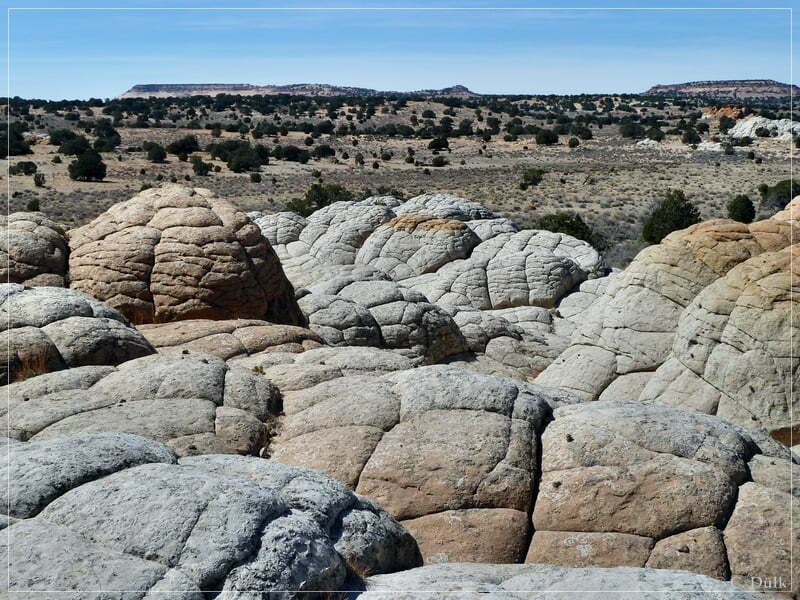
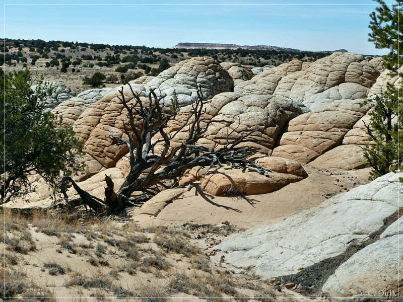
From here we went back to the main route. Along this trail some brain rock kind of structures could be found:
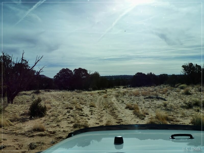
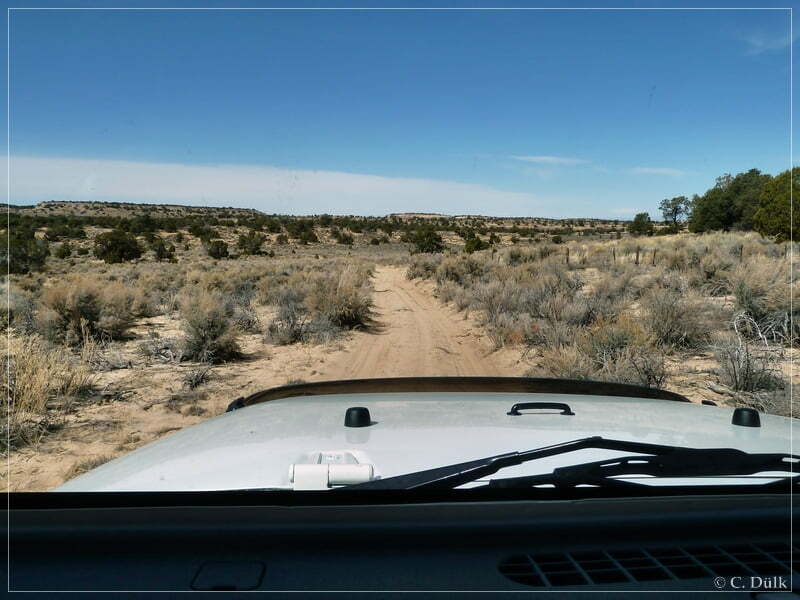
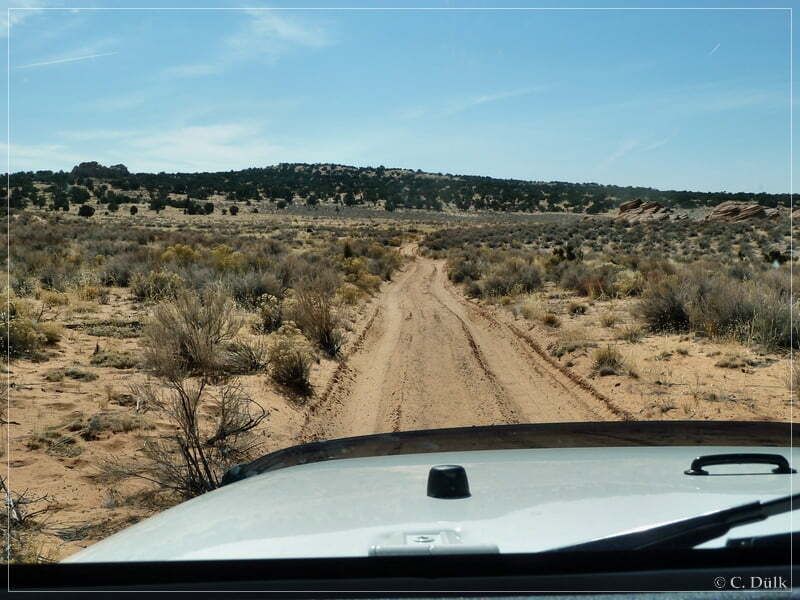
Again we drove forward on the ‘upper route’. At 12S 43096X 407891X we are reaching the turn off to Pinnacle Valley. If one follows the route, described in Michael Kelseys new book edition about the Paria Plateau, he might come up from Joes ranch. We were continuing to the left. In this region a lot of spur trails could be found and navigation is not easy. Soon we were arriving in Shed Valley, where a sand trap was waiting for us. This trail portion is pretty short and can be easily identified by the color of the sand, which is pretty much white. Keeping the speed high enough should help to go through.
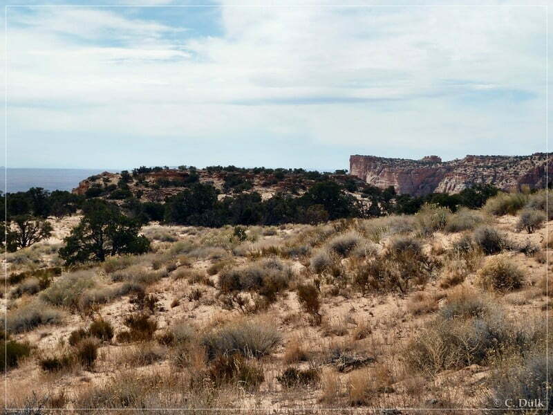
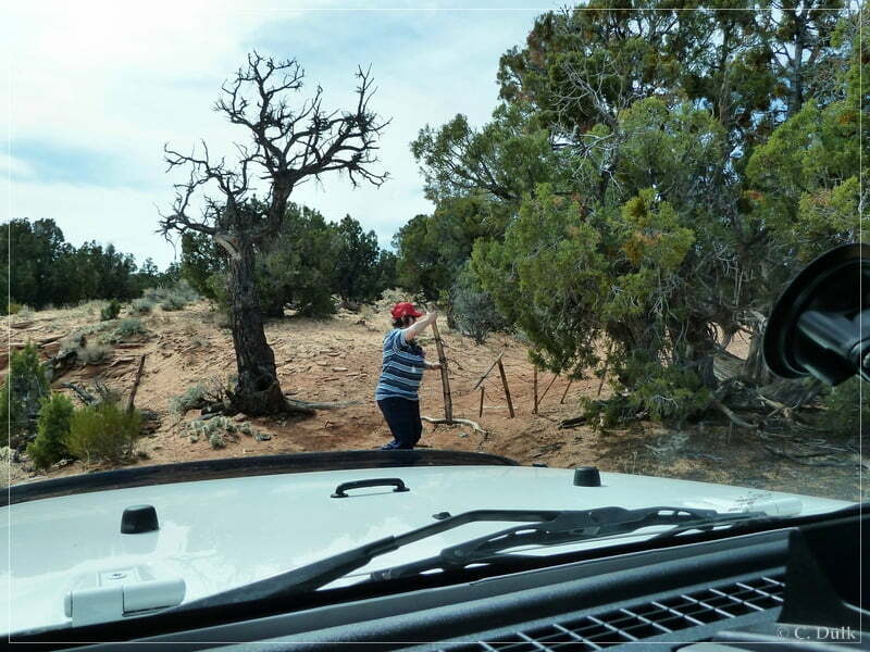
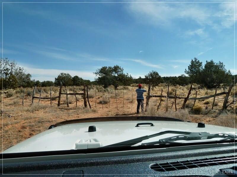
On our way back we have taken some more shots of the route part, which leads up to the rim of the Vermillion Cliffs. This pictures could be found later in this report. After the sand trap we are follwing a fence uphill. After passing a gate, we had a short stop at this wonderful location:
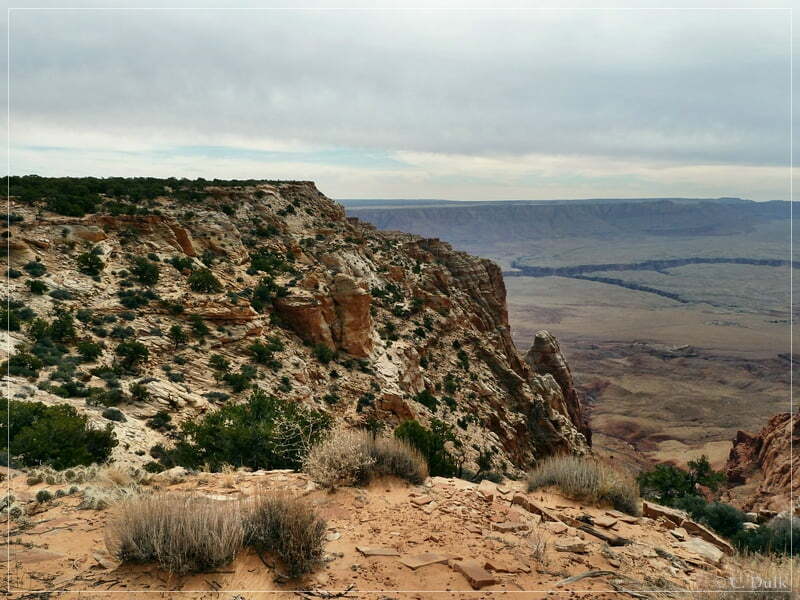
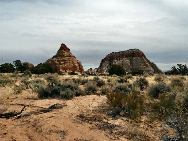
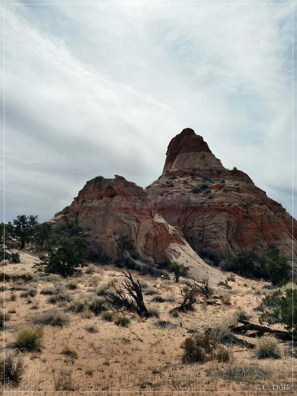
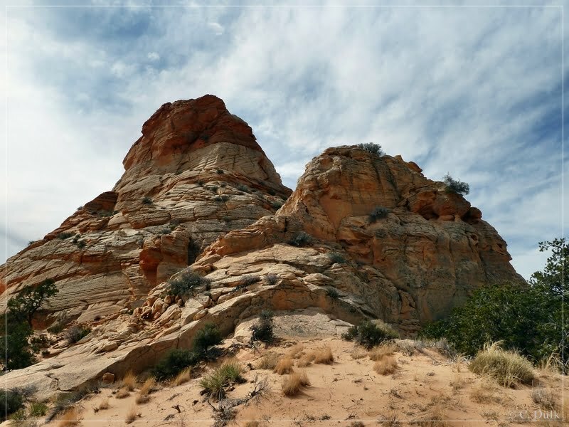
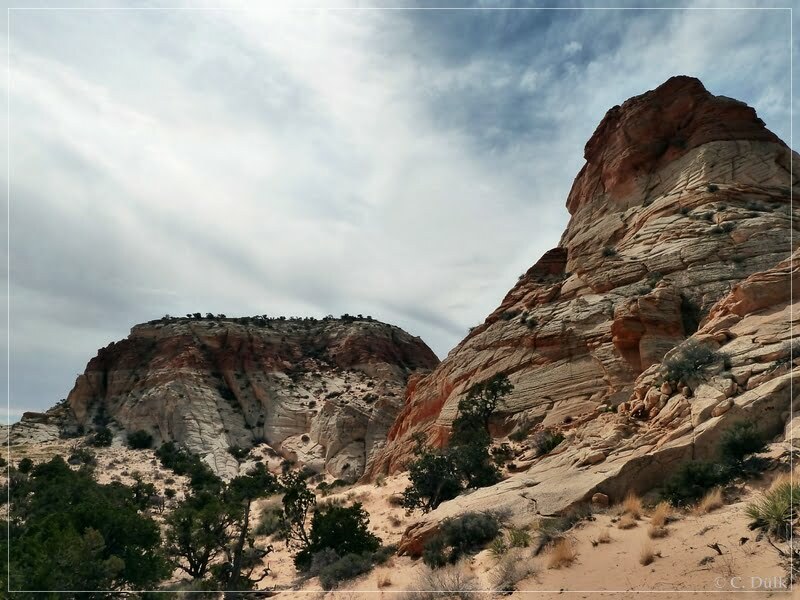
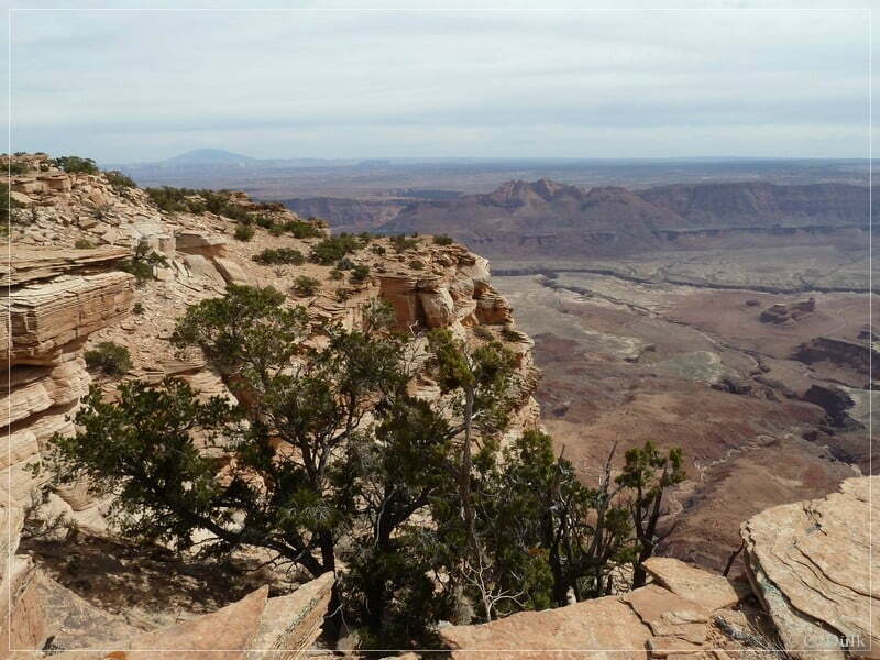
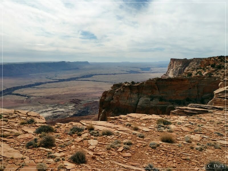
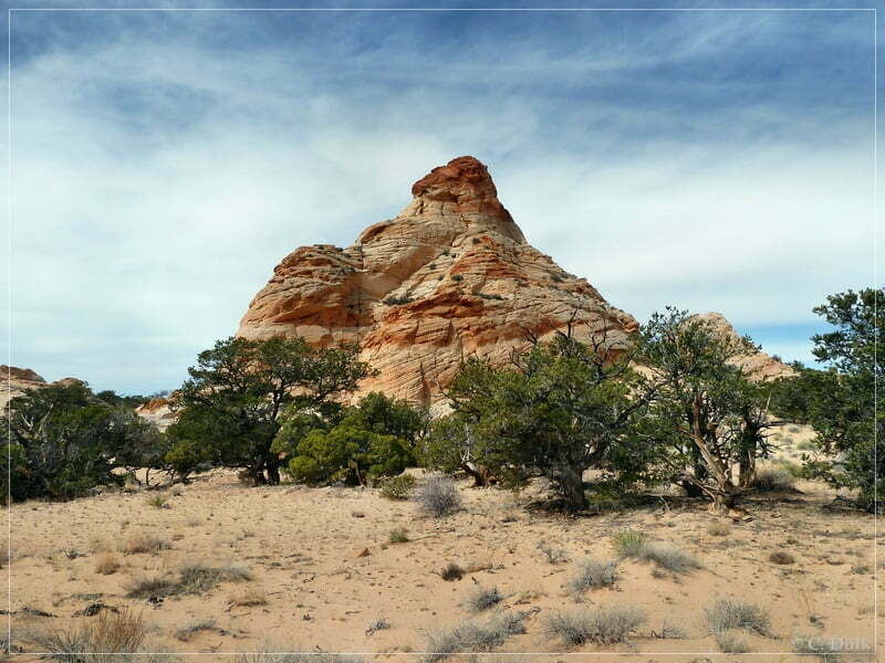
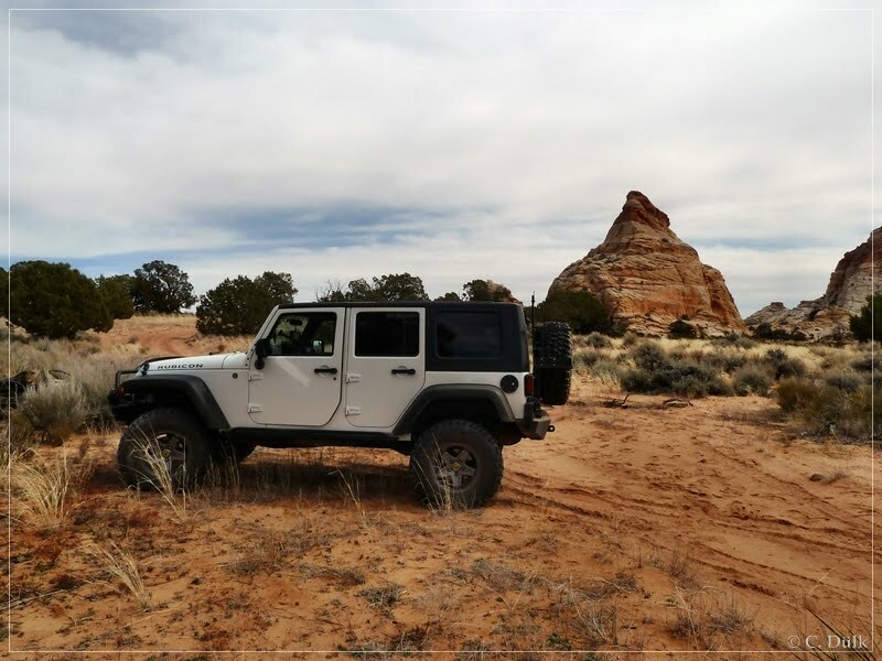
The trail is now going parallel to the rim and soon we are reaching Paria Needle (left) and Powells Monument (right).
The trail is blocked here by the BLM representatives, as the ongoing trail portion is not open for motorized travel. The following pictures show the vicinity:
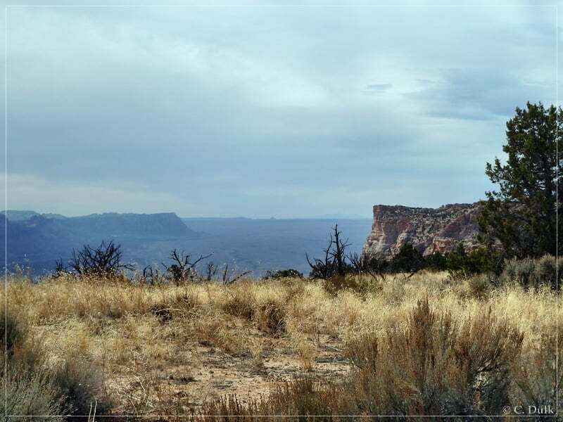
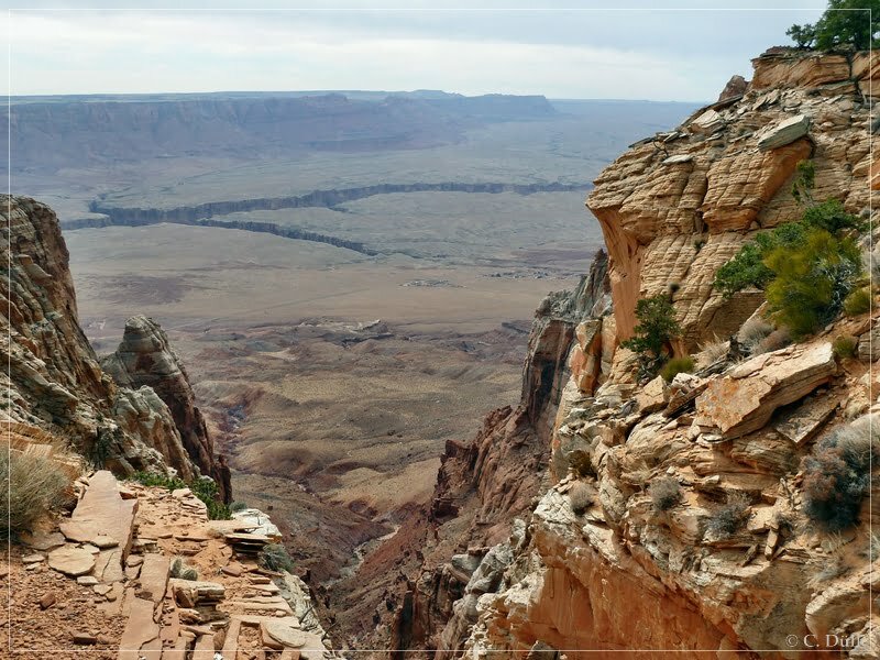
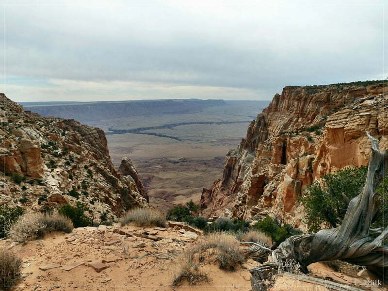
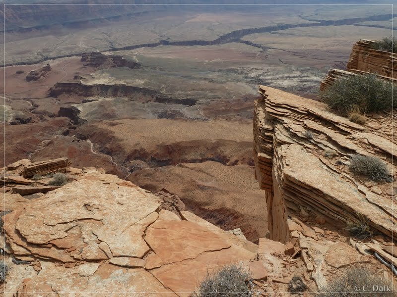
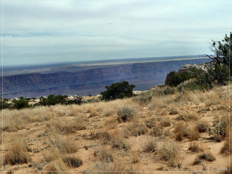
After a short hike we reached the rim of the Vermillion Cliffs above Marble Canyon and were able to enjoy an excellent view.
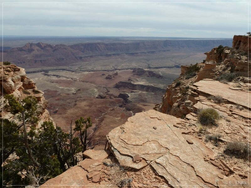
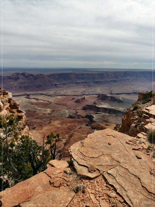
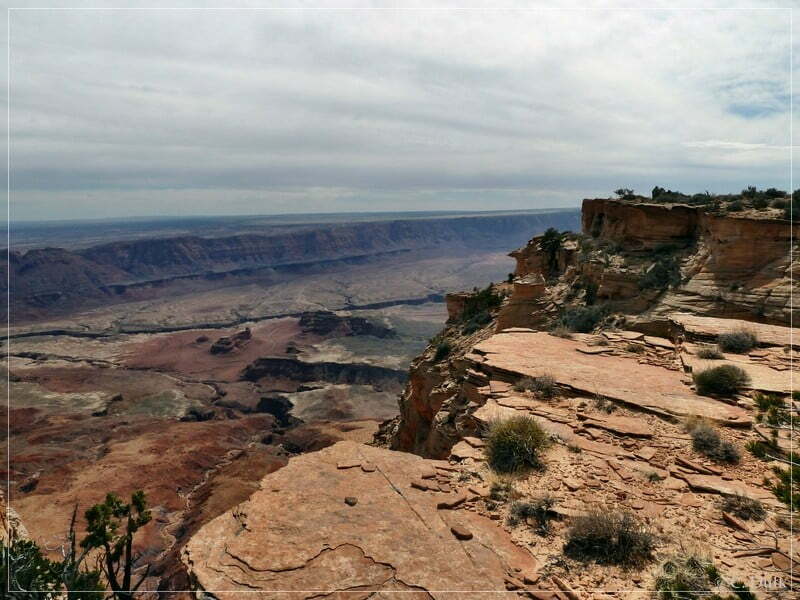
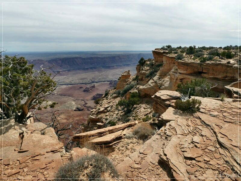
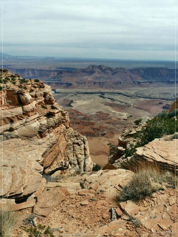
In the background of the following picture Navajo Mountain and the Page power plant could be seen….
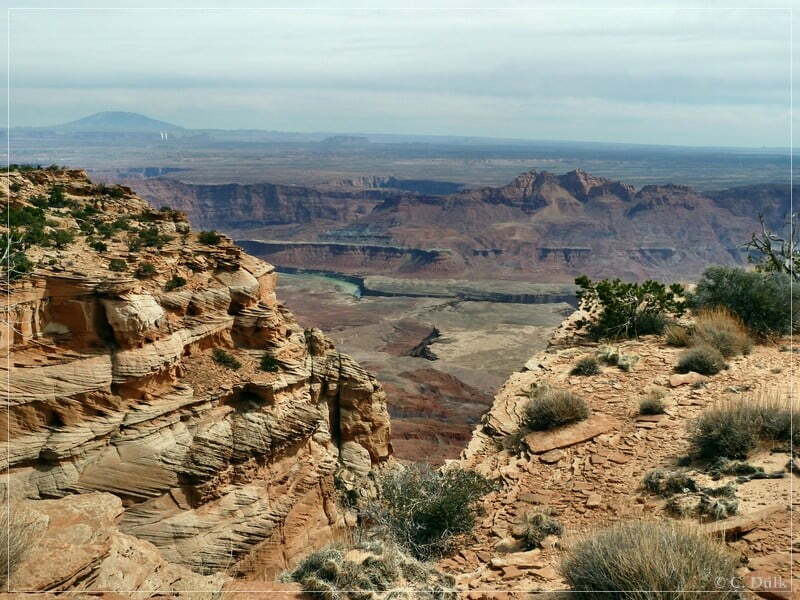
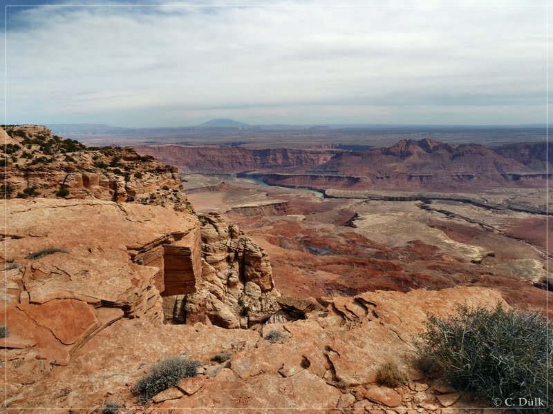
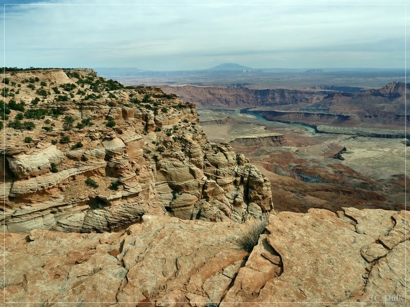
… and also Marble Canyon, which be later Grand Canyon:
The following pictures were taken at the way back to the jeep:
I went also two times around Paria Needle to find the real ‘Needle’, but was not successful. A ranger, which we met later, told us, that one has to look from a very specific point onto Paria Needle to see the real ‘Needle’. This is one more reason to come back again 😉
Soon we were back at the jeep and went back to House Rock Valley Road:
Here a picture from the trail along the rim region:
Here a view along this trail:
The gate also had to be opened again:
Then we went down along the fence into Shed Valley…
…and reached again the ‘sand trap’:
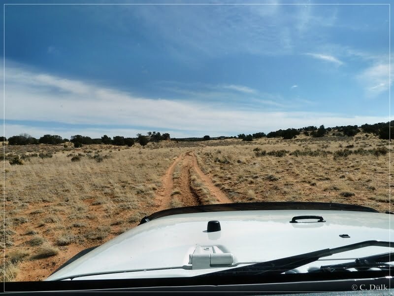
The loss of traction was absolutely noticable, but driving through was no problem for us. After being back on the ‘upper route’ we were continuing our way back to Big Sink Valley.
Being in Big Sink Valley, we were taking the left turn at the gps position given above in this report, to drive back to the Mexican Sink route. Going straight instead of turning left brings one also back to Pine Tree Road on a more sandy track.
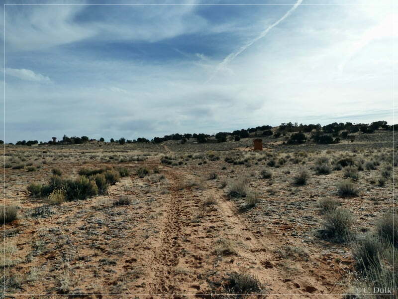
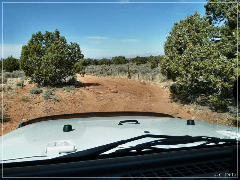
Shortly after the gate we turned right towards Pine Tree Road. At the fork at 12S 41821X 407733X both routes are possible. Both are connecting to Pine Tree Road. The right trail is shorter and the left one more rocky and longer. Soon we are back on Pine Tree Road to go down to House Rock Valley Road.
The pictures on this page also containg the gps positions, where they were taken, in the exif data.
The trail was pretty much easy to drive in march 2011 and one can reach a viewpoint, which is not visited by much people and which allows incredible views from the rim of the Vermilion Cliffs NM.
For a better orientation, one can downlload a gpx file of this trip:
Tracklog: Powells Monument and Paria Needle, Vermilion Cliffs NM (1020 downloads )
And here is an overview of the area, we visited: