Many people are driving on Dubinky Well Road, without knowing, which beauty is there nearby in the Rainbow Rims region.. We want to show with this trip report a few pictures of this region and introduce a few trails, which lead to the rim. If somebody worries about driving this short spur trails, its possible to park anywhere along the trail and just walk for a short distance to the Rainbow Rocks rim.
But we want to start with a different trail, the so called “wash route”, which follows a wash, short after turning to the left from Dubinky Well Road onto Spring Canyon Point Road and shortly before arriving at “The Needles”. This route should connect to a trail, which comes down from a mining complex and which connects again to Dubinky Well Road. The wash is very wide at the beginning and slightly sandy.
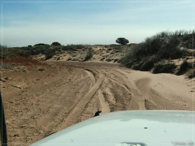
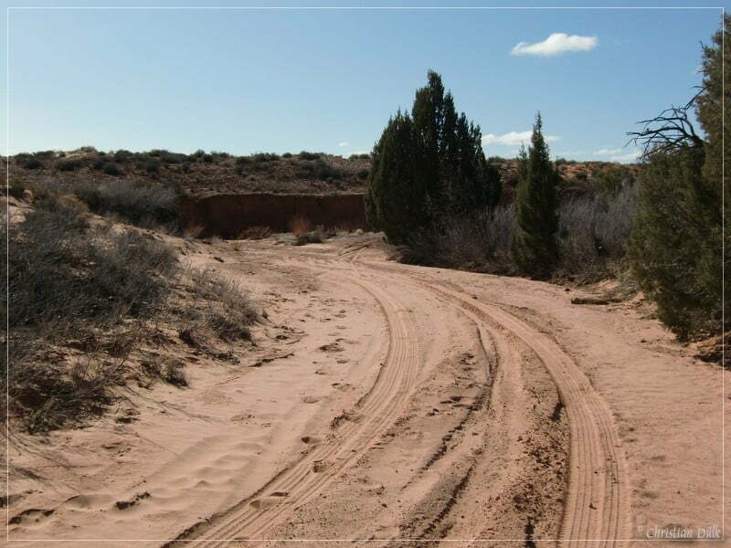
Soon we arrived at a point, where we had to turn around, because a fallen tree was blocking the trail, so that it was impassable for our SUV. With an ATV it should not be a problem to continue the trail.
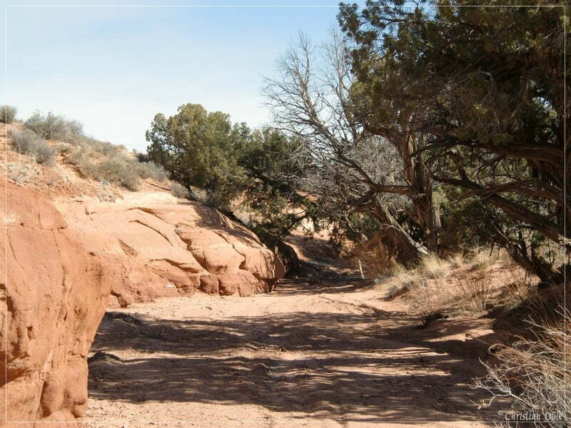
Here a picture from the wash, which we have taken on our way back out.
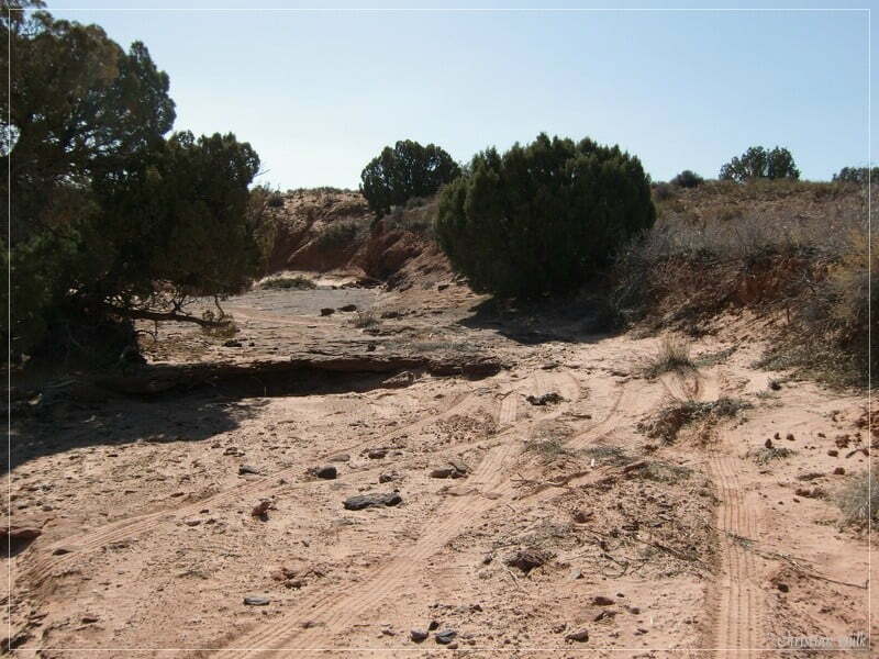
After this trial, we went back to Dubinky Well Road and followed up until we reached a S shaped curve. After this curve we are passing Dubinky Well.
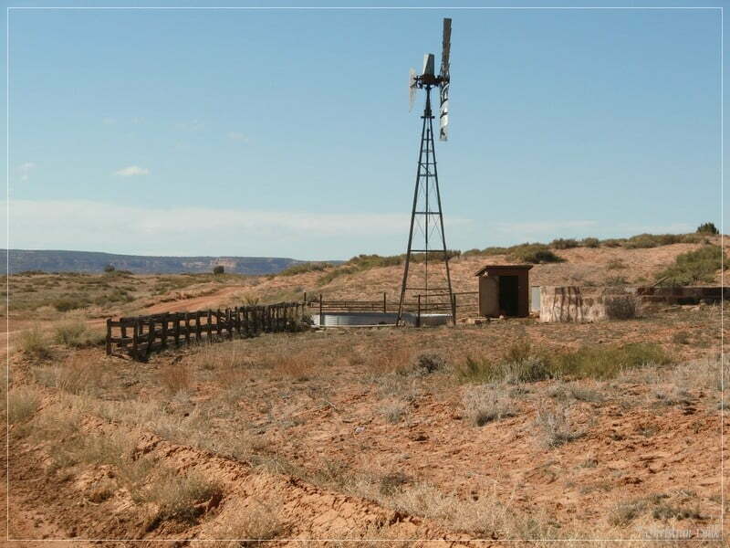
Short time later we are crossing a cattle guard.
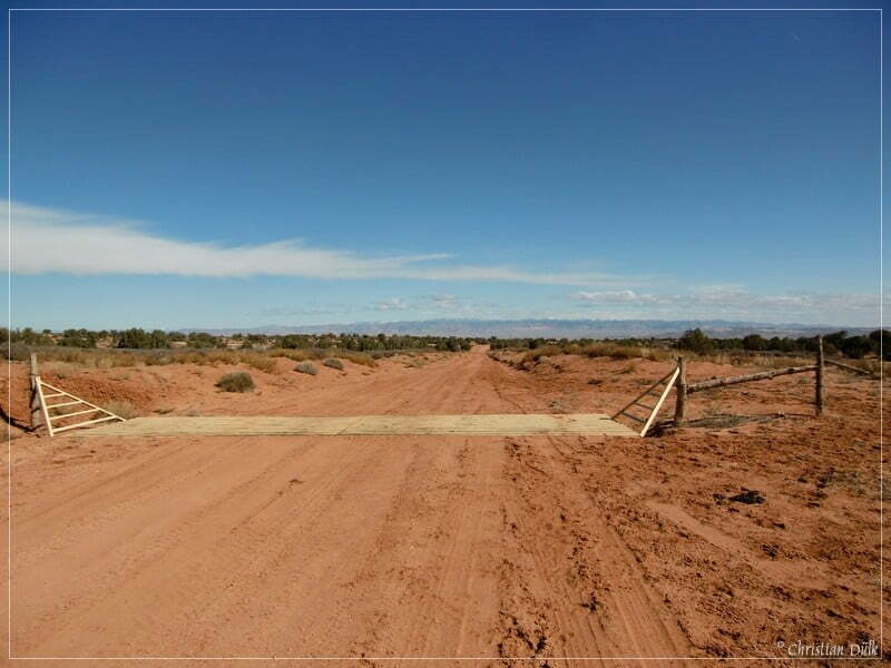
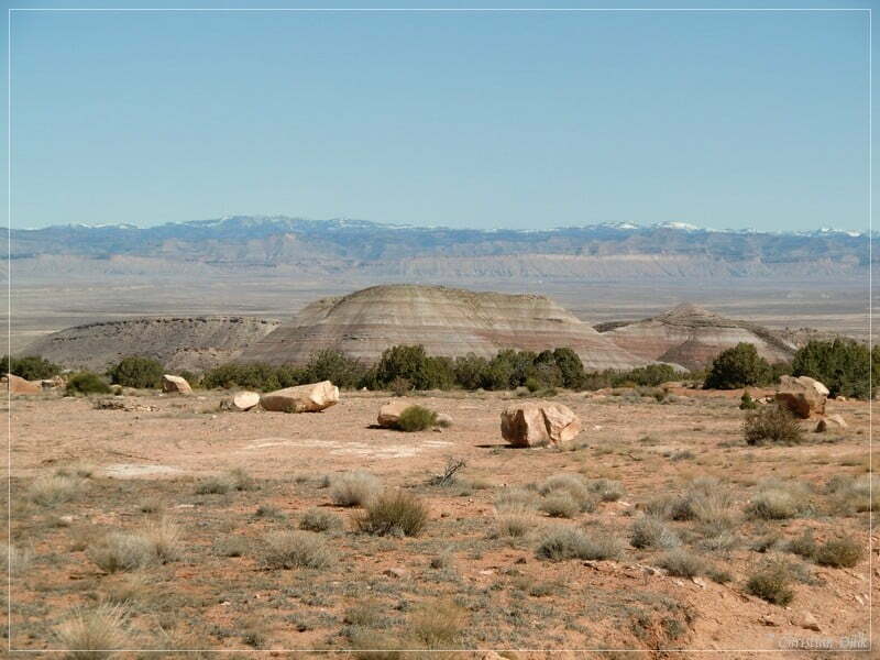
In front of us we had a great view on the Book Ciffs.
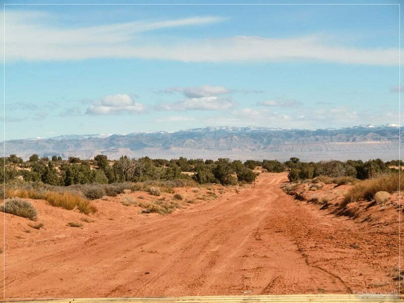
At 12S59676X 428573X (UTM/NAD27) we are turning to the left on a spur towards the Rainbow Rims region. We are facing sandy regions and slick rock regions.
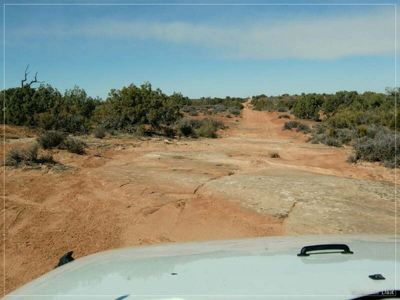
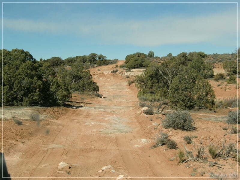
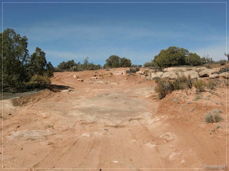
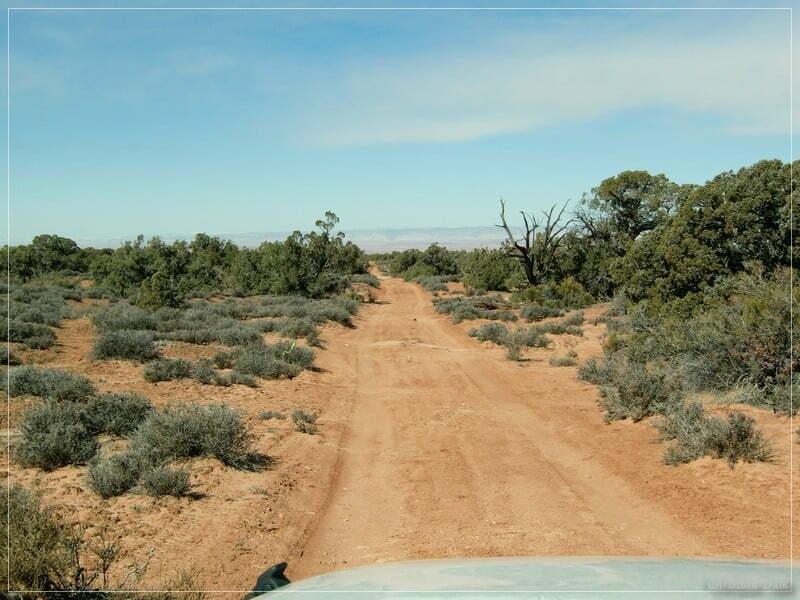
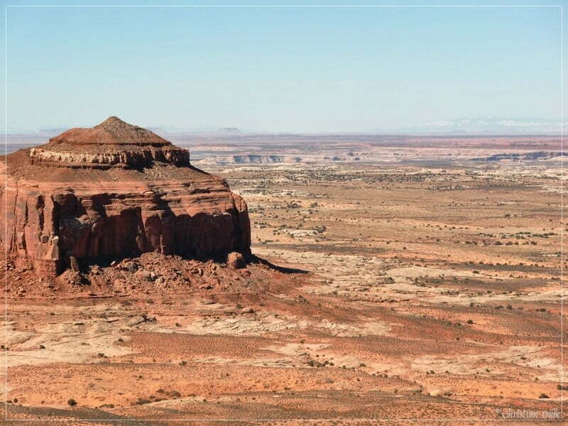
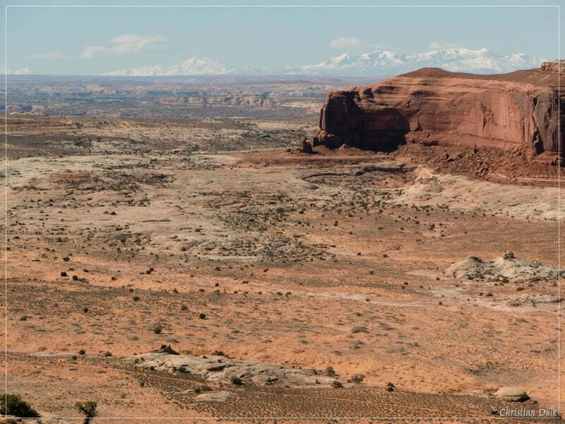
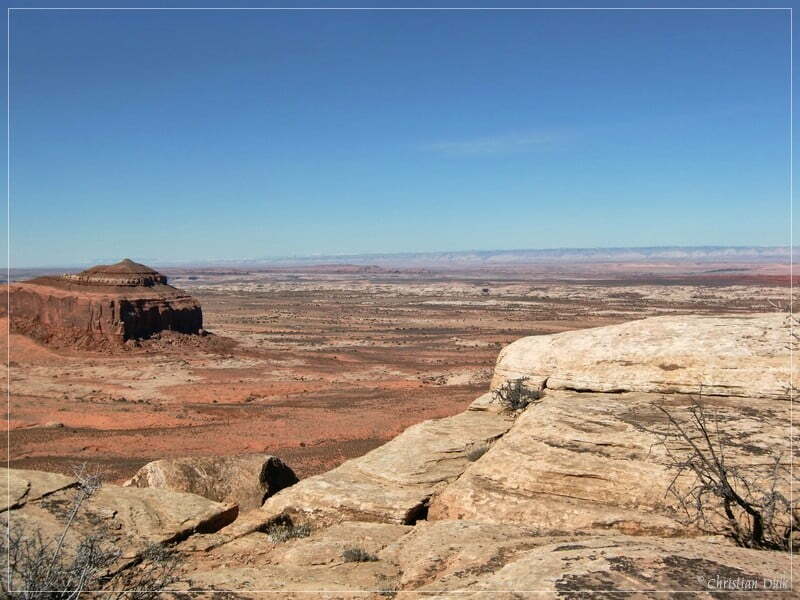
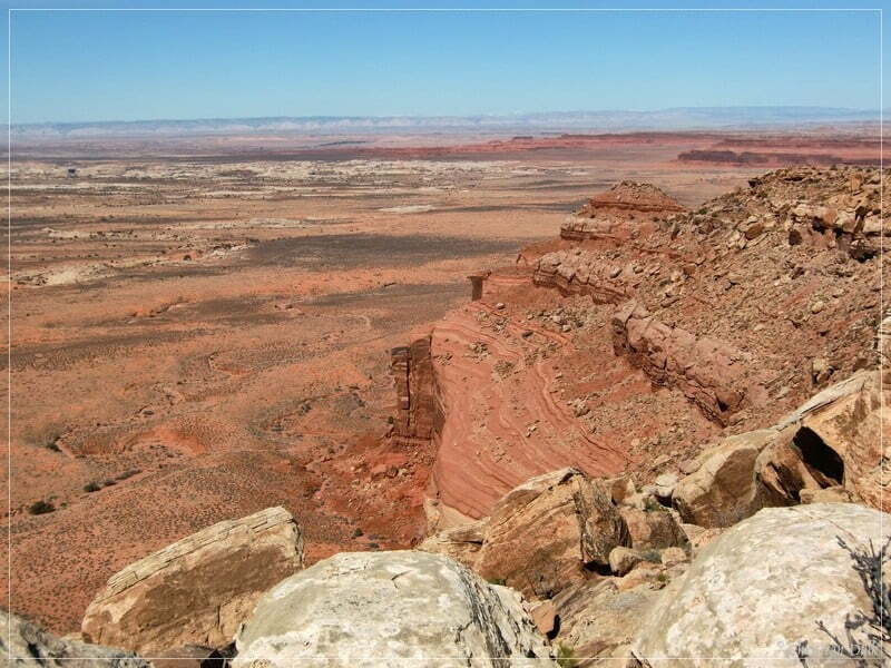
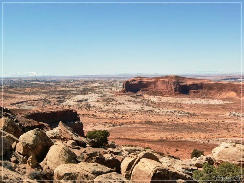
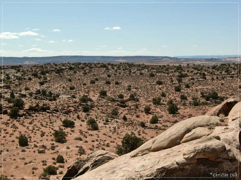
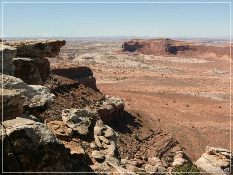
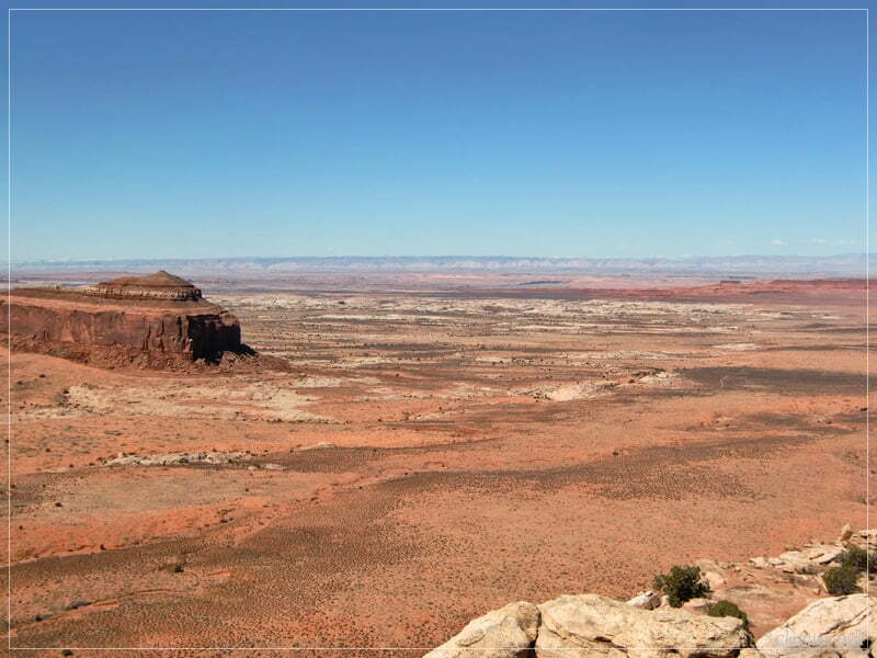
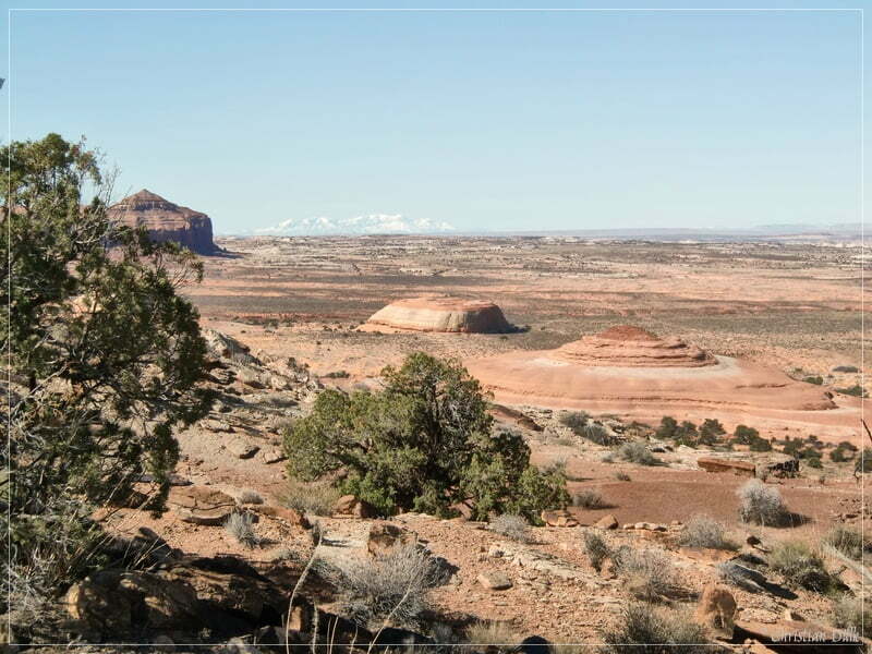
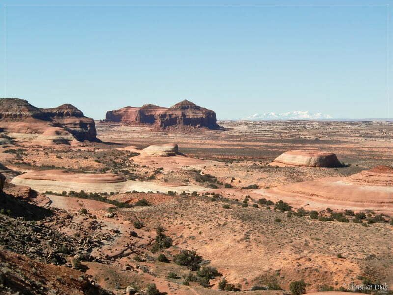
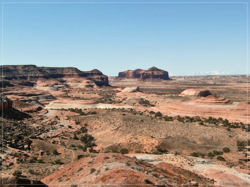
Soon we are arriving at a parking spot at the rim and enjoyed the great views into the vicinity.
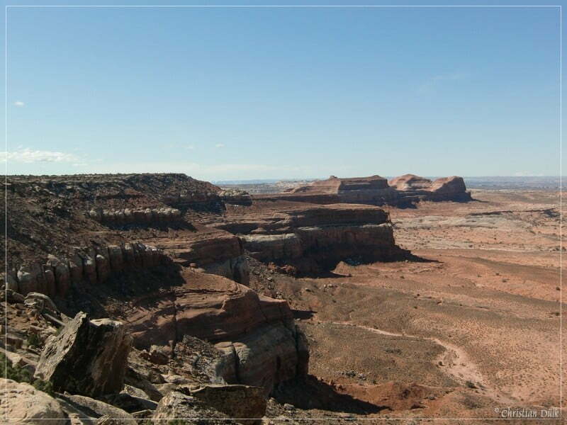
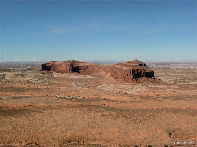
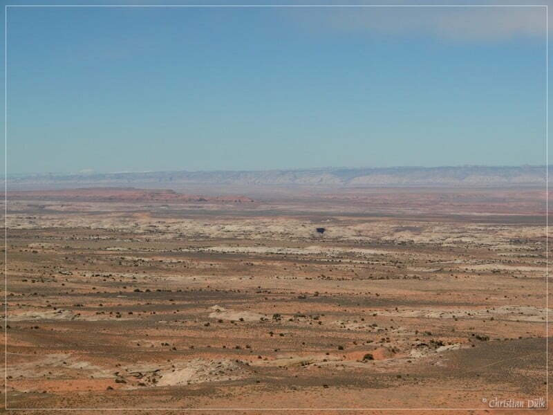
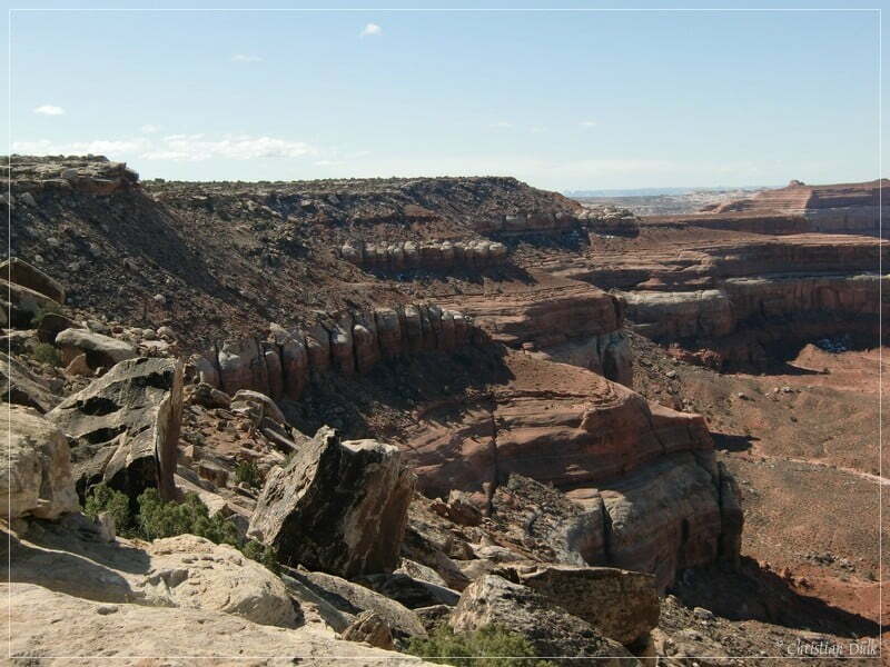
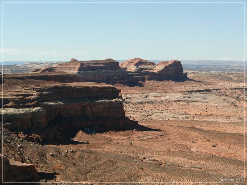
The Book Cliffs are also clearly visible.
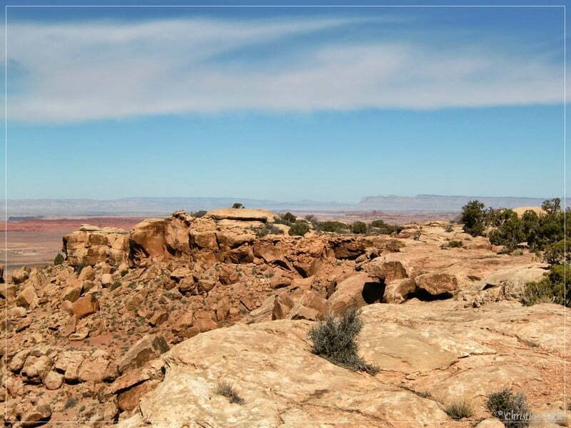
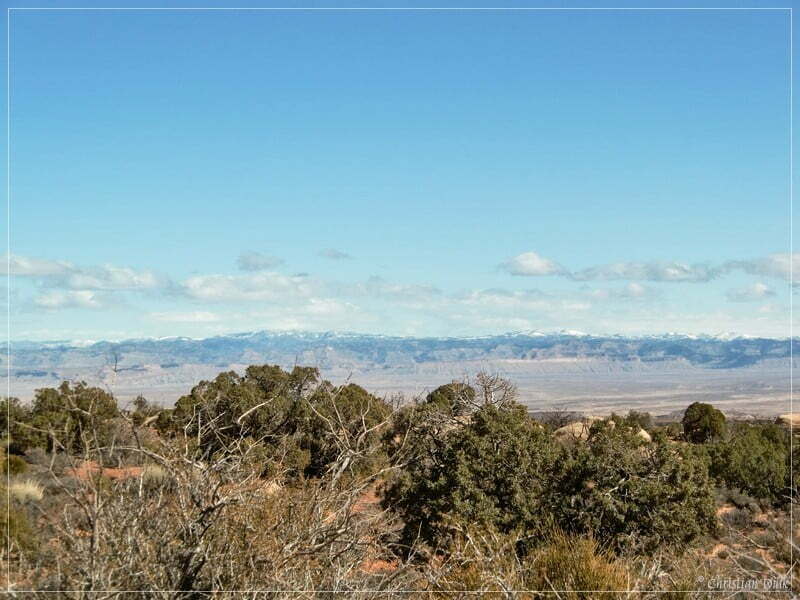
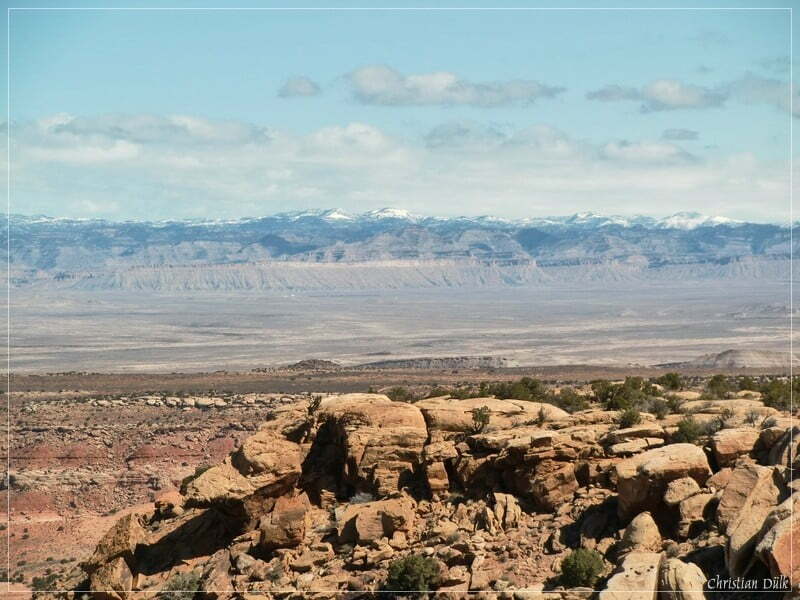
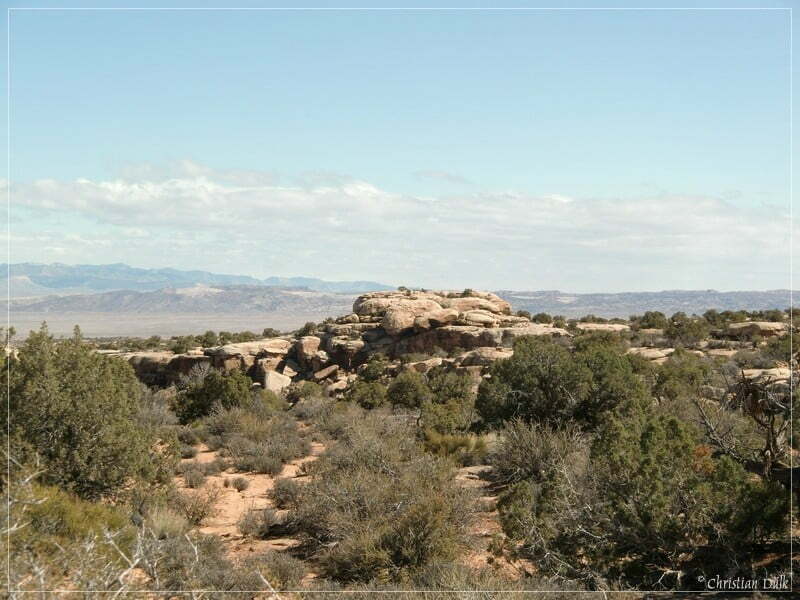
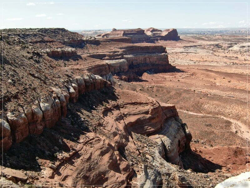
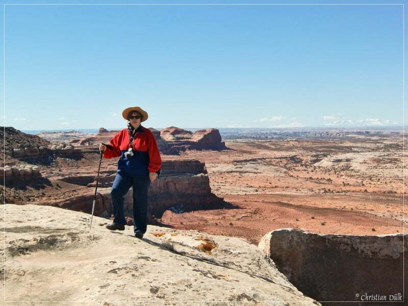
Along the rim is a wonderful hiking trail, so that you can find a lot of spectacular and scenic viewpoints.
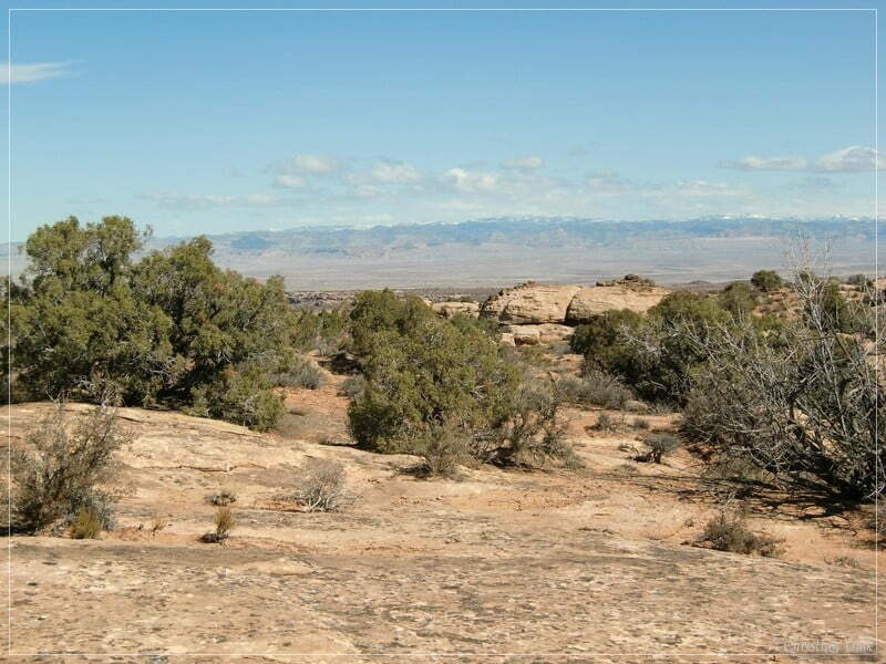
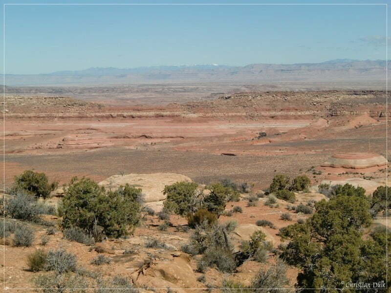
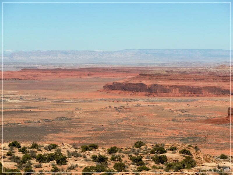
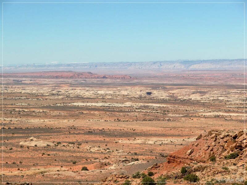
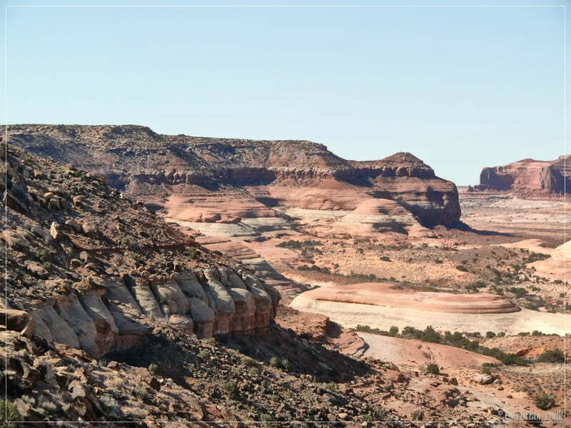
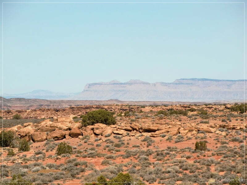
Here a view towards Ten Mile Canyon (in the background).
One can also see some trails below the cliffs (i.e. the Rainbow-Terrace trail).
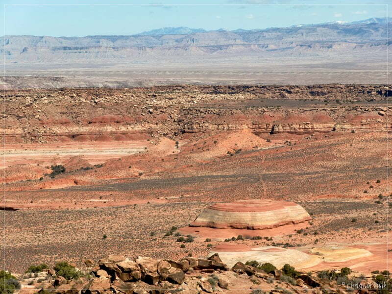
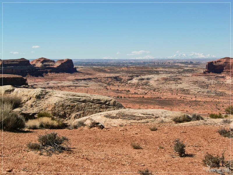
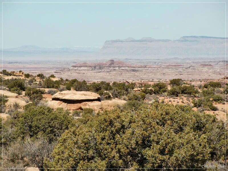
After discovering the rim region, we went back to our SUV. On the way back we wanted to visit a turnoff of this spur. Here a few more pictures of the trail (Rainbow Rims 2+ connecting trail to Rainbow Rims 1):
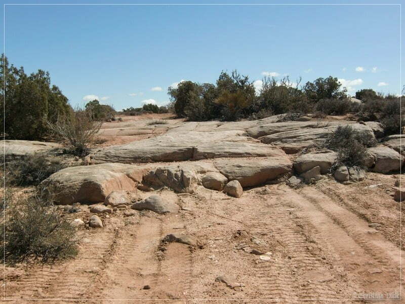
At 12S59645X 428576X the connection trail starts to the right.
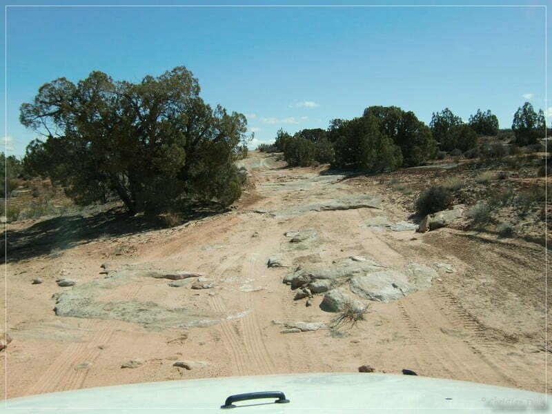
At 12S59637X 428515X we are meeting the trail to Rainbow Rims 1.
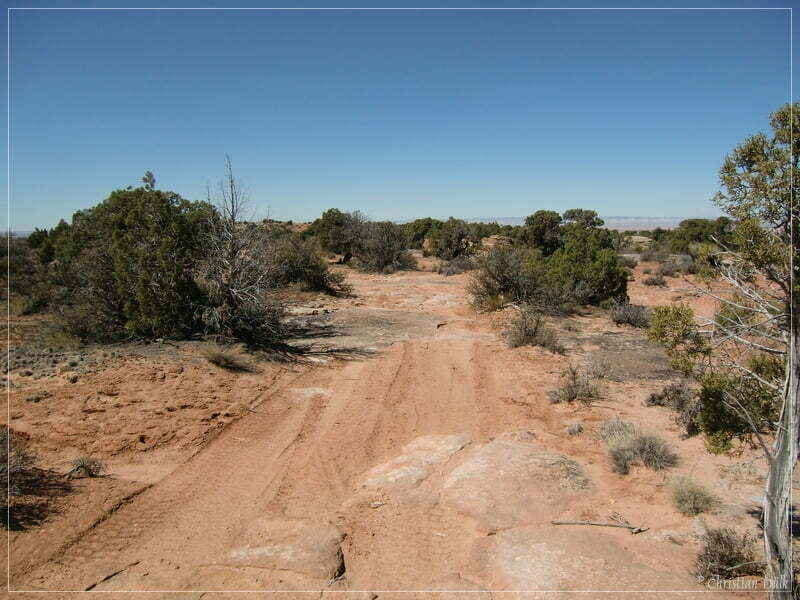
Soon we are arriving again the rim region to enjoy the views.
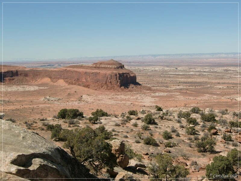
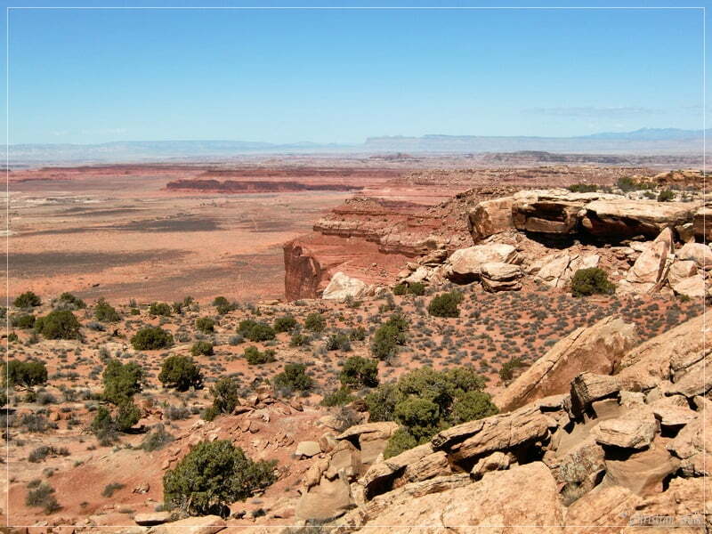
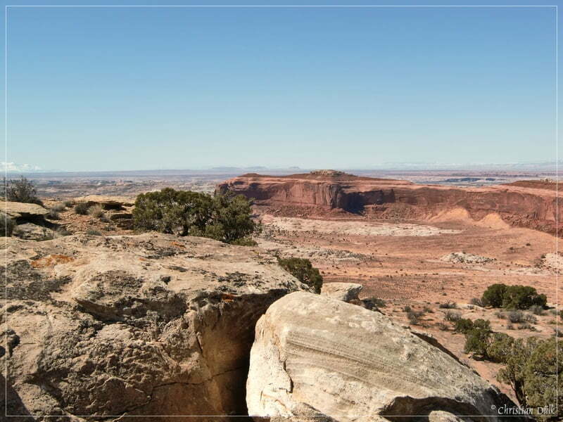
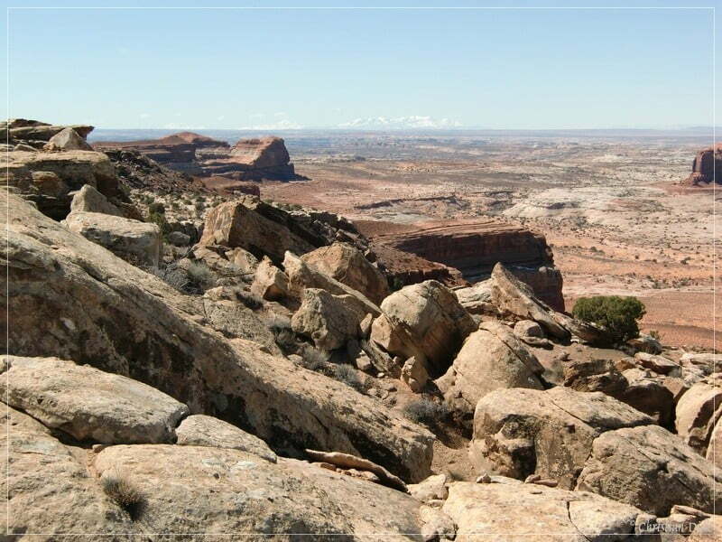
We are then driving back to Dubinky Well Road on the second spur trail. Here also a picture of this trail zo Rainbow Rims 1 (see map):
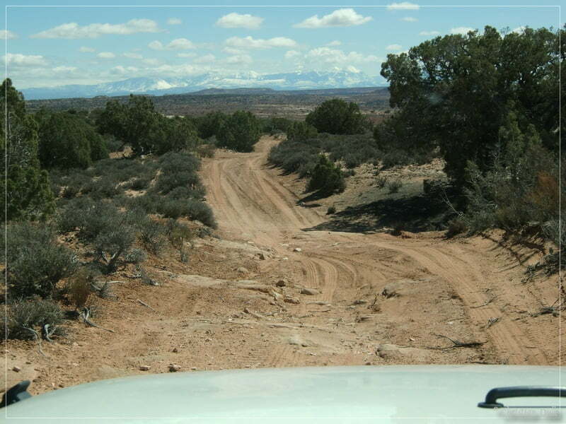
At 12S59668X 428528X we are again back on Dubinky Well Road.
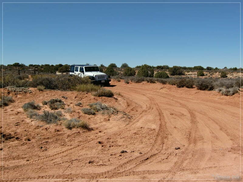
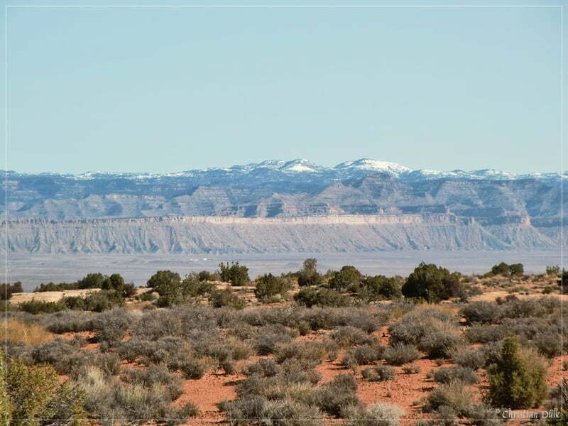
We are continuing on Dubinky Well Road, because we wanted to visit “Motorcycle Hill”. Motorcycle Hill is a motocross trail, which leads down from the rim towards Levi Well Road. Here we again had great views to the Book Cliffs.
At 12S59752X 428885X we are turnnng to the left on a spur trail, which soon arrives at a parking spot. From here it is a short walk, until we are reaching the rim region again. “Motorcycle Hill” is not far away.
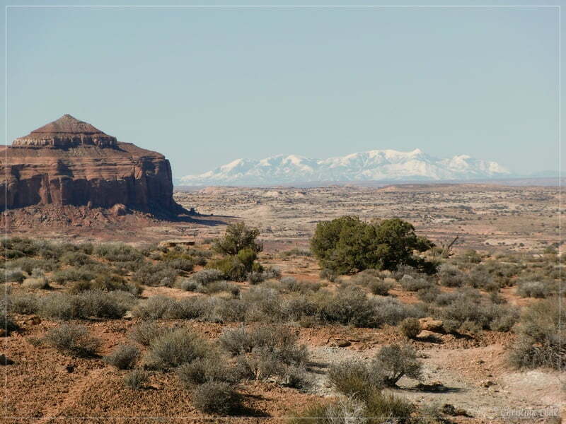
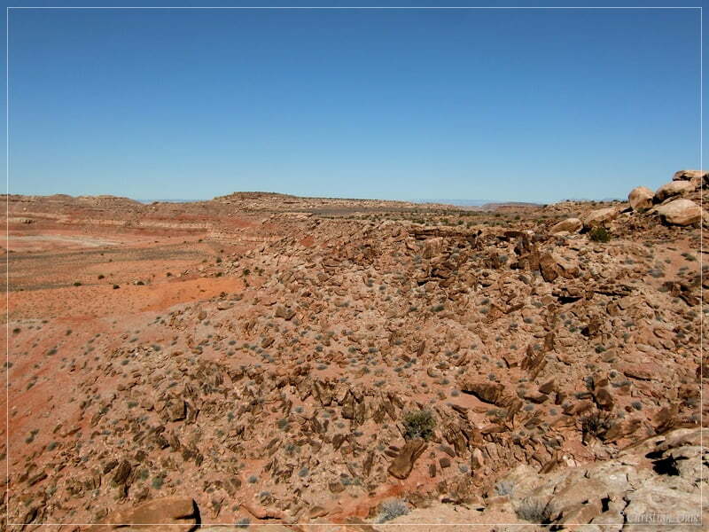
Here we are not as high above the ground as on the other two rim spots.
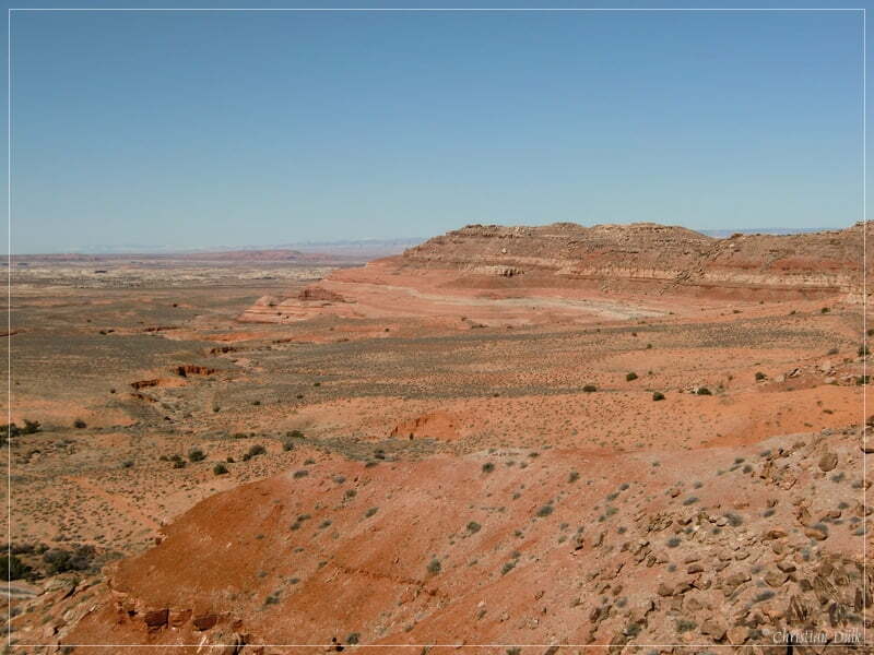
Soon we are arriving at “Motorcycle Hill”. On the following picture one can see a motocross biker at the start of the trail down from the cliffs:
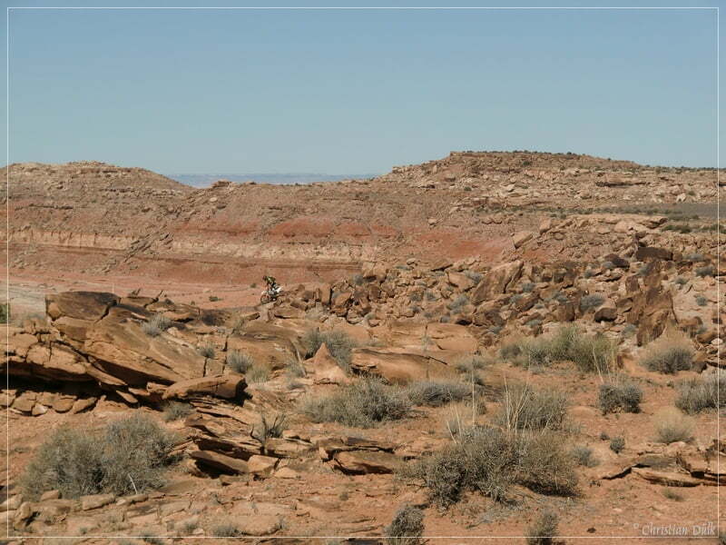
And here the trail is starting…
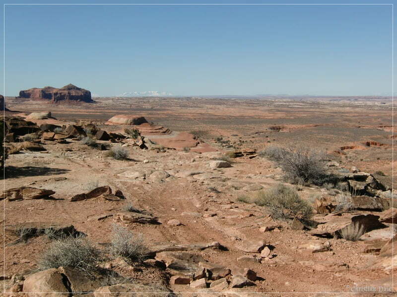
…before it goes down here:
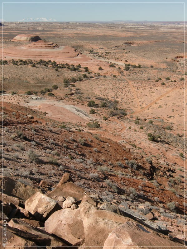
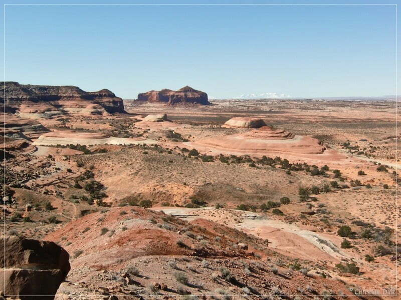
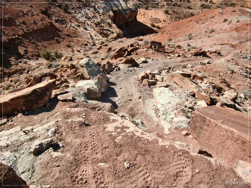
At the bottom end one can see a group of bikers, which went down the hill. From here trails are leading i.e. to Levi Well Road.
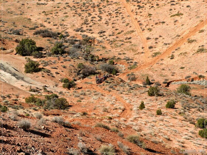
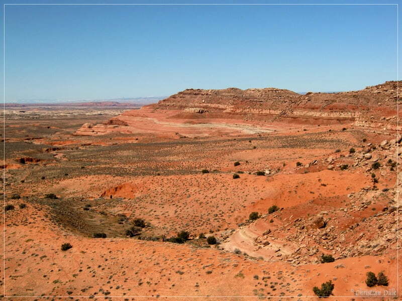
We are enjoying the great views, before we are going back to the parking spot.
We hope, this trail report could show that along Dubinky Well Road one could discover a lot of things. The trails are all short, so that everyone, who doesn´t want to drive the rocky sections, could walk the short distance to the cliffs region. There are a lot more offroad and hiking trails there, so that we will come back again to discover this region further.
For a better orientation, one can downlload a gpx file of this trip:
Tracklog: Rainbow Rims, Moab, UT (745 downloads )
And here is an overview of the area, we visited:


