As we are visiting the north west region of Moab quite often, we tried to find this time an old trail to a view point above the Green River, which is located on the oposite side of Keg Point. The name of the trail is “The Very End”
We are turning to the right from US313 at 12S60266X 427759X (UTM/NAD27) and follow Dubinky Well Road. At 12S59726X 428286X we are turning to the left onto Spring Canyon Point Road. In the background of the picture Dubinky Well is visible.
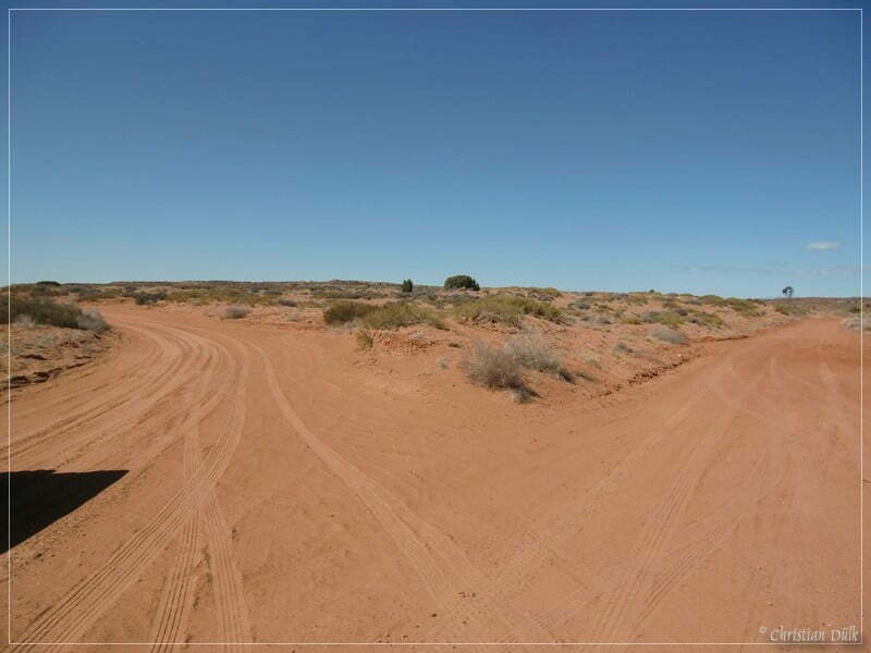
We are continuing towards “The Needles”.
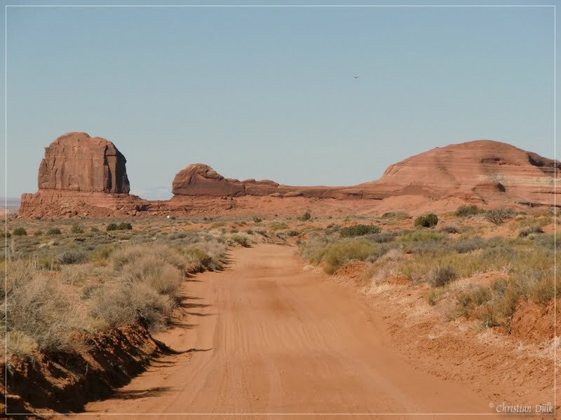
To the rights onecan see the Rainbow Rocks.
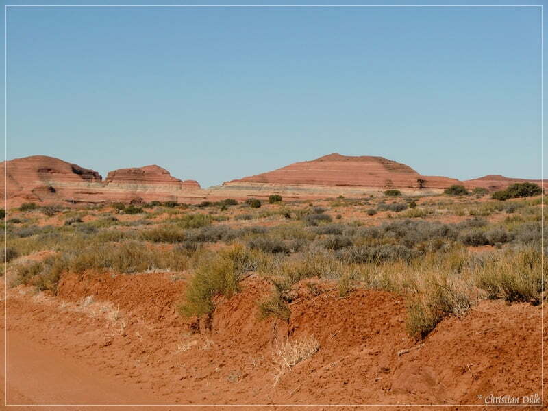
We are passing Tombstone Butte and follow Spring Canyon Point Road until we are reaching at 12S58947X 428222X the turn off to Oil Well Road. Far in the background the Book Cliffs are visible.
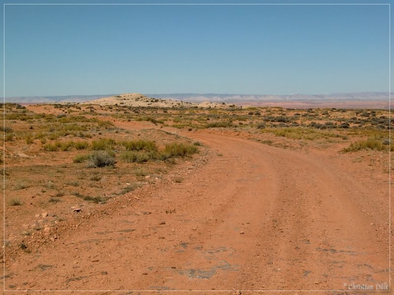
On our way down Oil Well Road we again have a good view on the Rainbow Rocks.
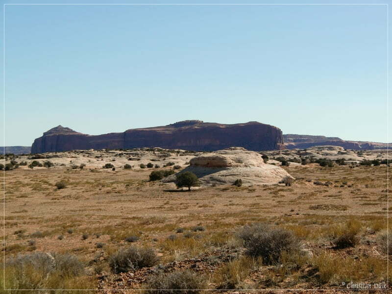
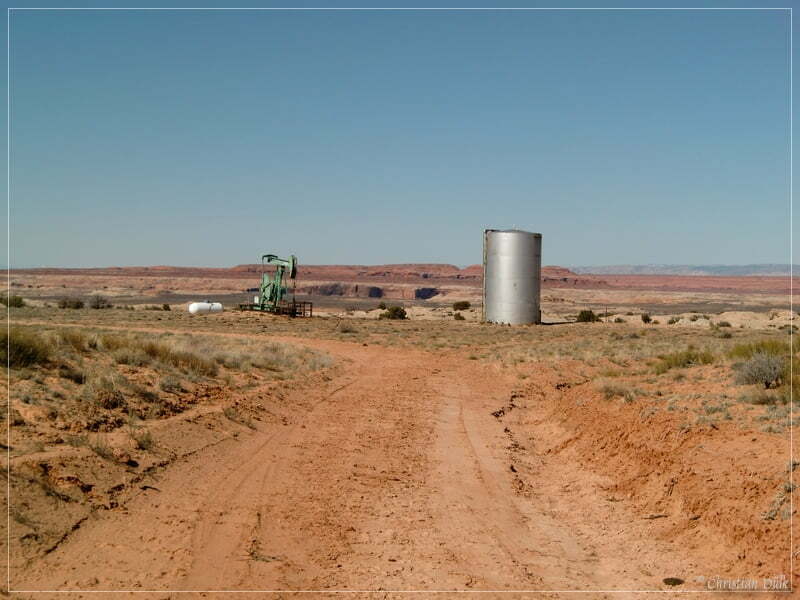
The trail goes straight to an old Oil Well. The picture also shows Ten Mile Canyon.
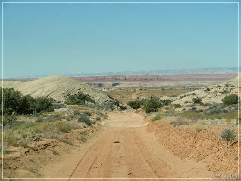
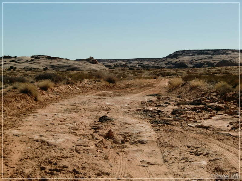
The spur trail is mostly sandy with some spots of slick rock:
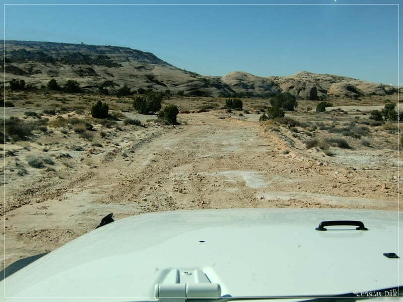
Here a view of the sandy part:
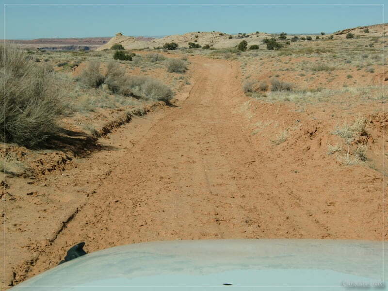
We are proceeding between some slick rock domes.
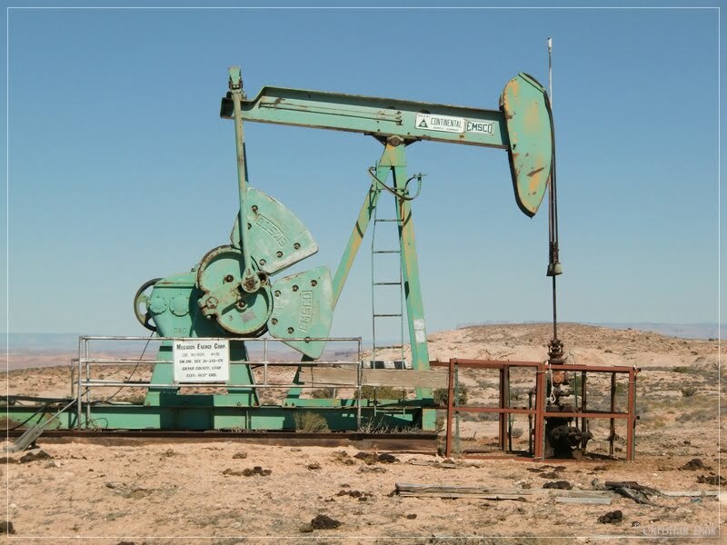
At 12S58534X 428249X we are arriving at the oil well.
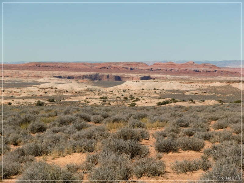
The trail turns in a 90 degree angle. Here you have a view on Ten Mile Canyon and his largest side arm Rock Canyon.
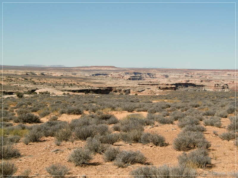
Here the ongoing route.
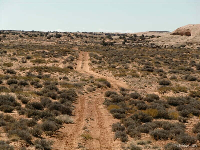
Now we have to pass a few rocky washes with some small ledges.
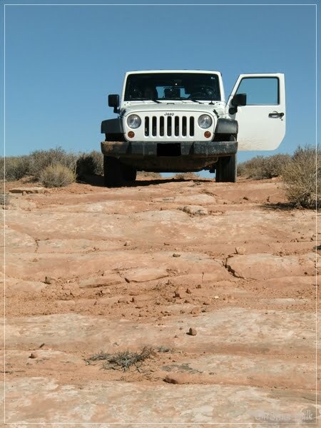
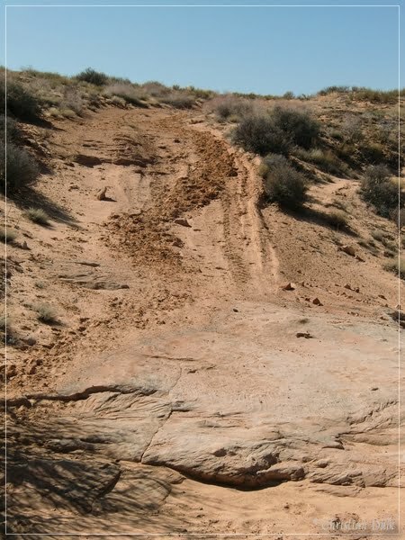
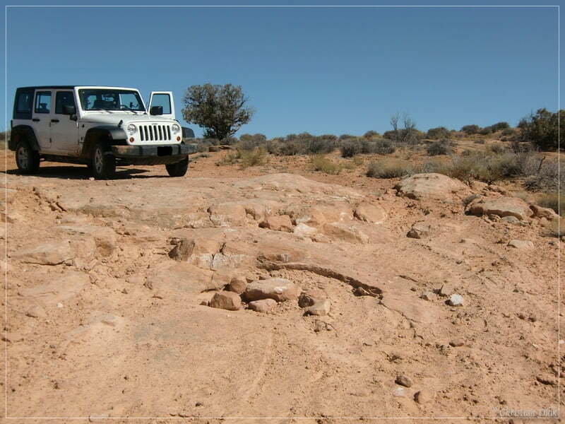
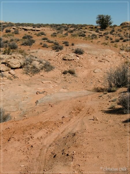
Everything mostly easy going and good for newbies to train crossing rocky terrain.
Here a view to the right along the way:
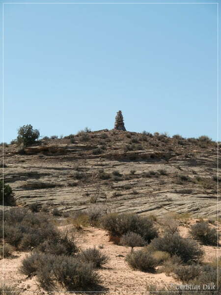
In this region you have to observe carefully the surrounding to find the turn off to “The Very End”. We continued straigt, to check also the second and third spur into this region. All are connected to Spring Canyon Point Road. The second spur trail is much more rocky than Oil Well Road.
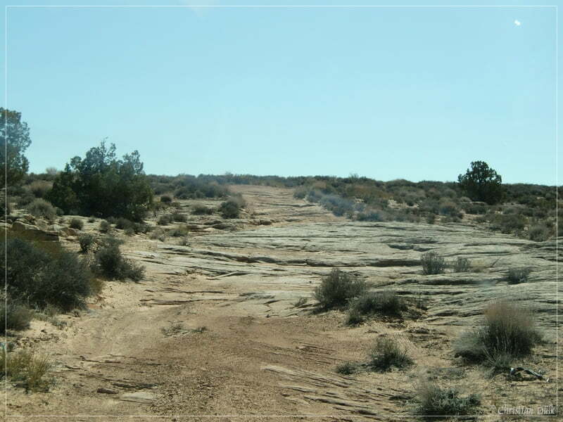
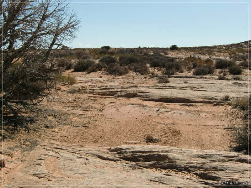
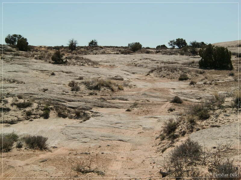
At 12 S 58762X 427900X we arrived at Spring Canyon Point Road. The following picture shows the turn off.
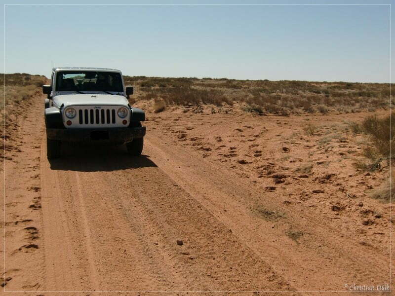
We followed Spring Canyon Point Road towards Spring Canyon Point and turned to the right at 12S58731X 427845X on the third connection trail.
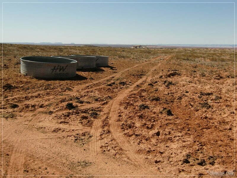
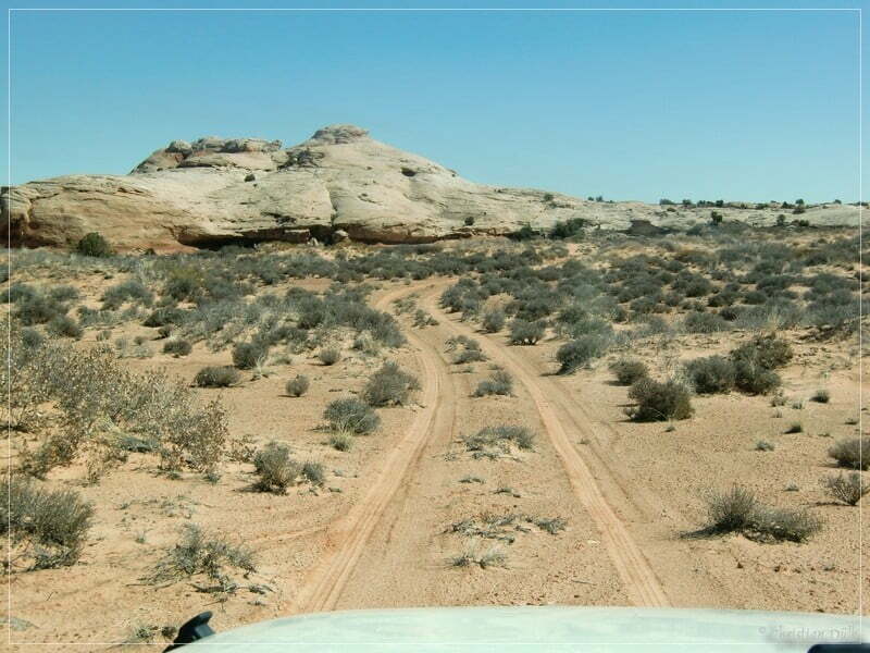
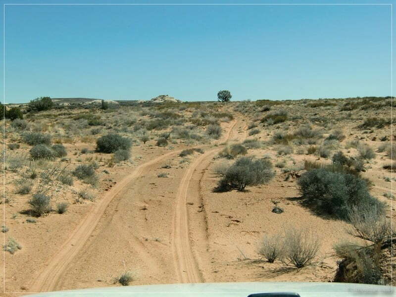
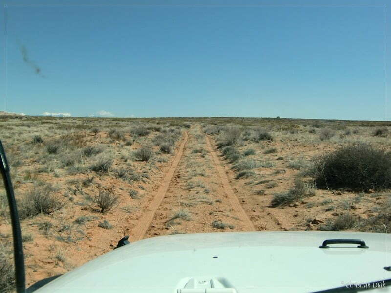
The third spur is the most sandy one and has less rocky parts.
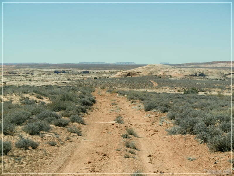
At 12 S 58460X 428051X we are turning to the left on the direct connection to “The Very End”.
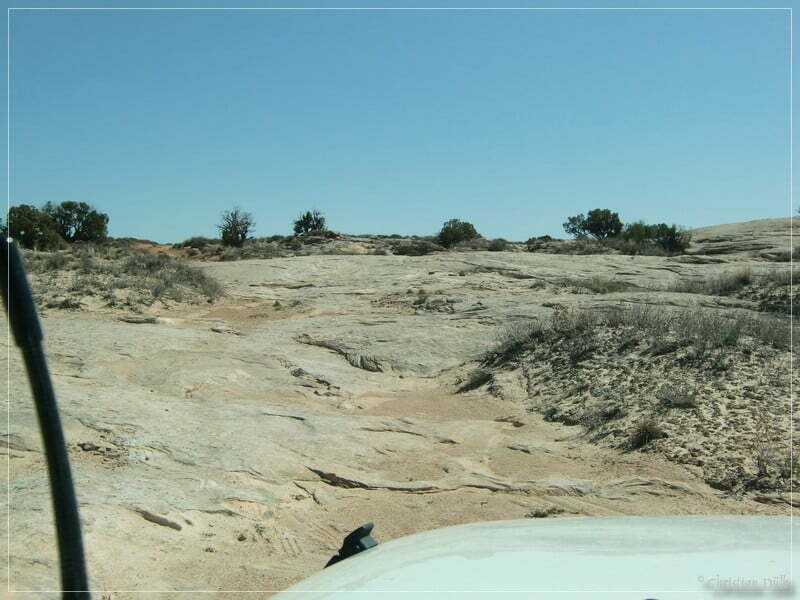
This part has a lot of slick rock passages.
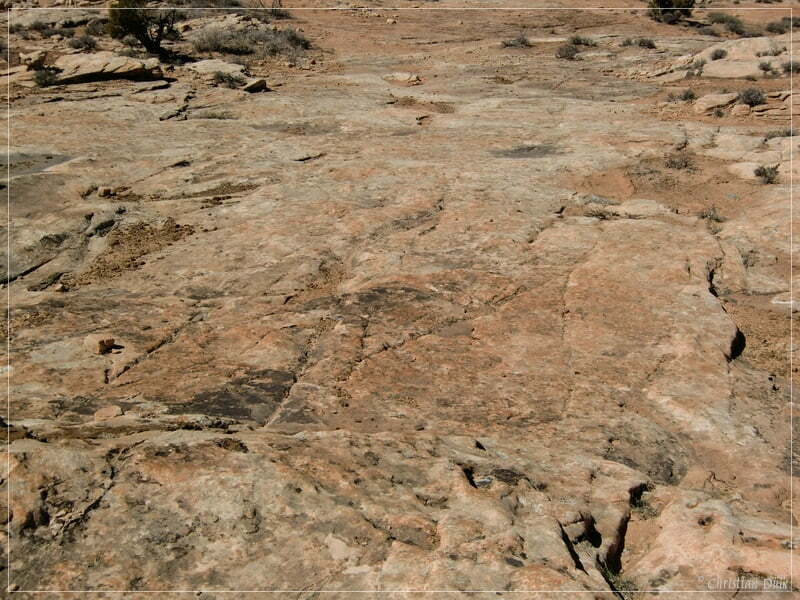
A few more pictures of this trail part follows at the end of this trip report.
Here a few impressions from along the way.
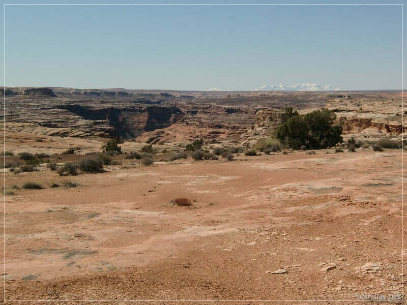
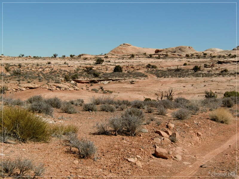
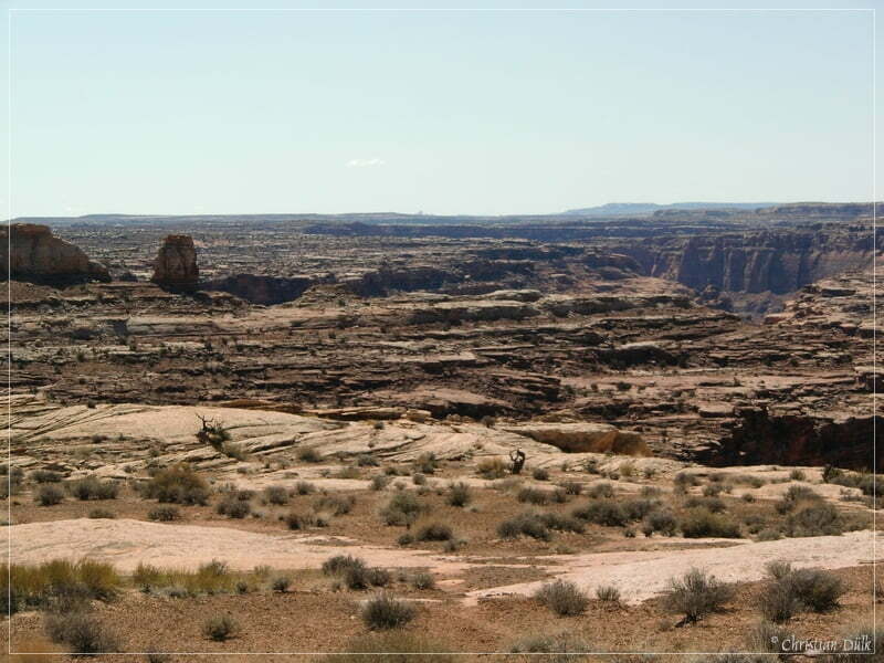
Soon we are reaching “The Very End” (12S58307X 428002X). Below we can see the Green River.
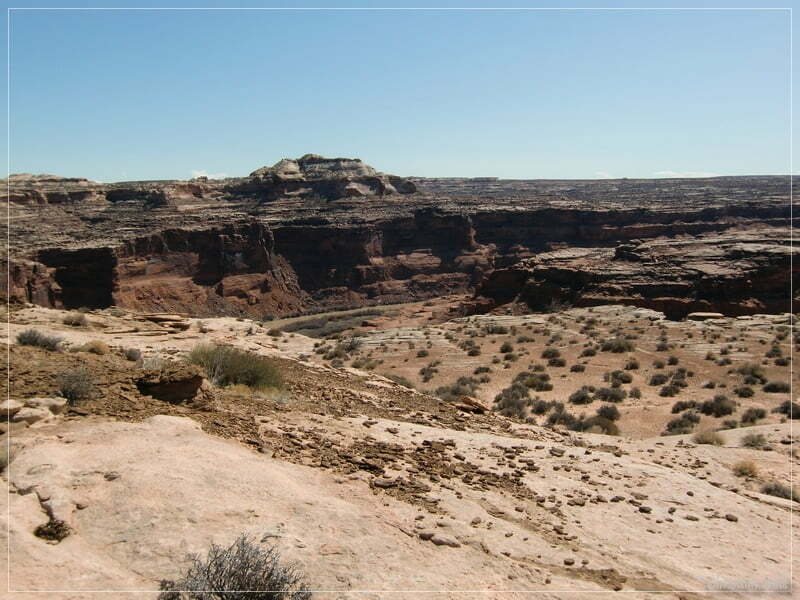
In all directions one can have beautiful scenic views.
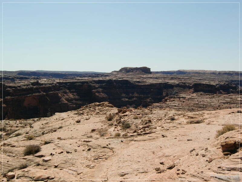
Here is a picture of the turn around point at the end of this trail with a nice parking spot. We are now opposite to Keg Point.
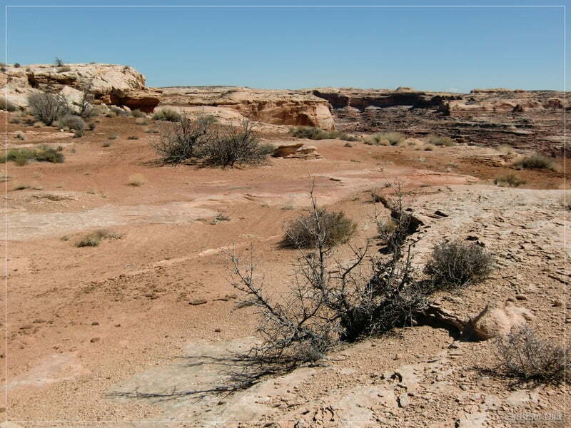
Here we had absolute wonderful views everywhere around. It is also said, that there should be a foot trail down to the bottom at the Green River.
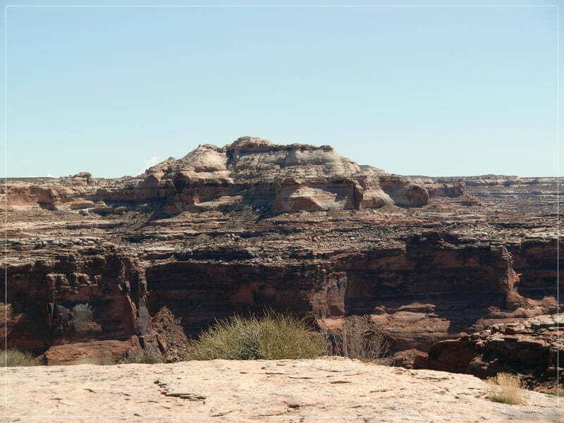
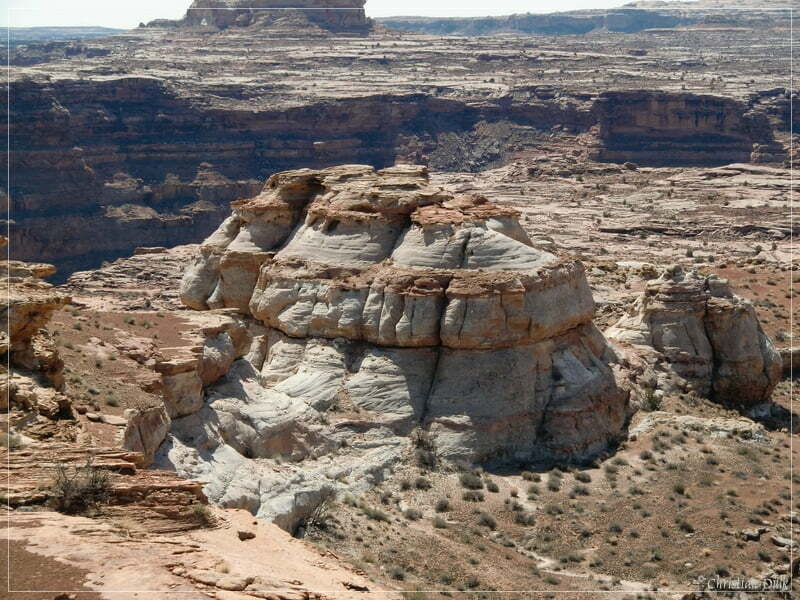
Here a view to the mouth of Ten Mile Canyon and Ten Mile Point.
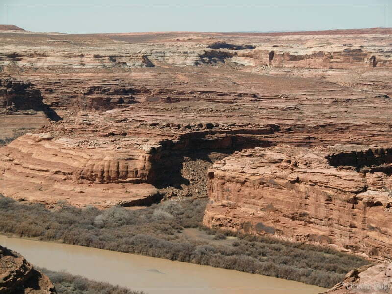
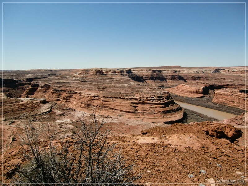
Keg Spring Bottom is also clearly visible.
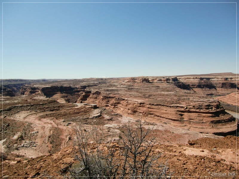
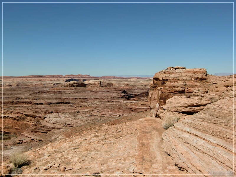
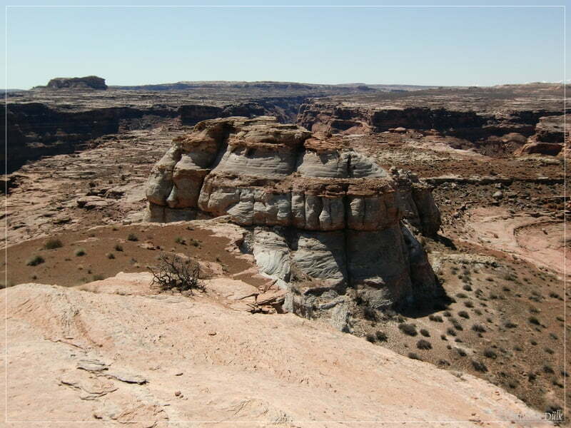
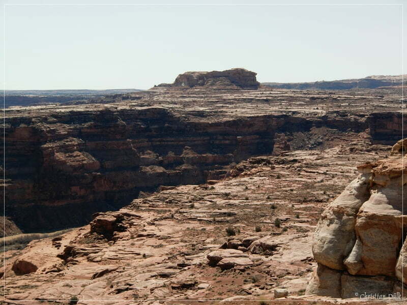
On the left side we had a good view on Keg Point.
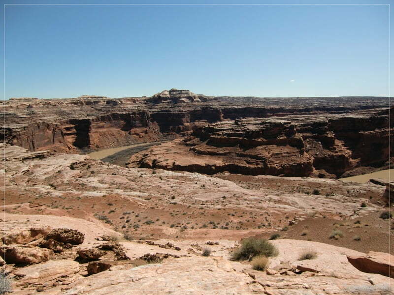
Here some more pictures of the vicinity:
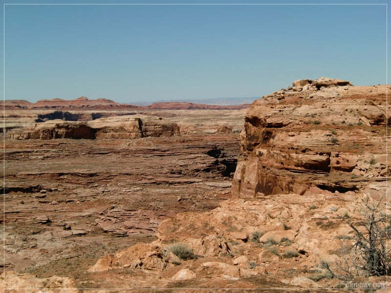
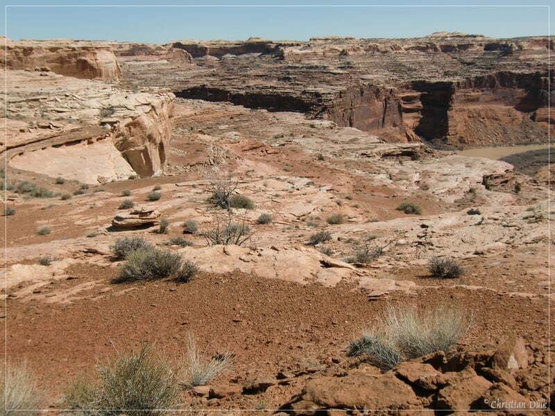
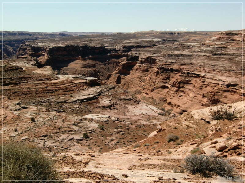
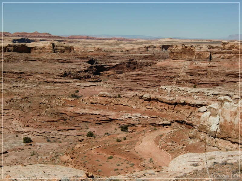
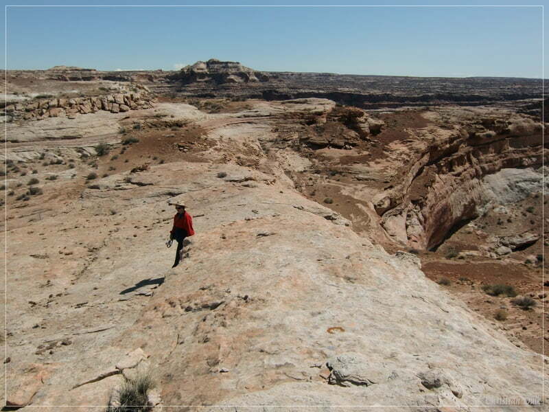
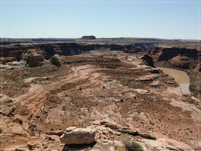
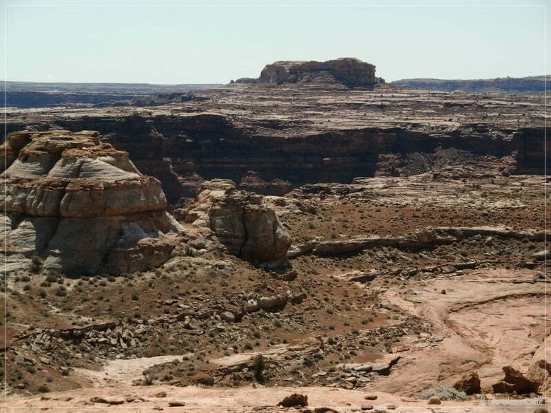
On our way back to Moab we have taken some more pictures of the trail…..
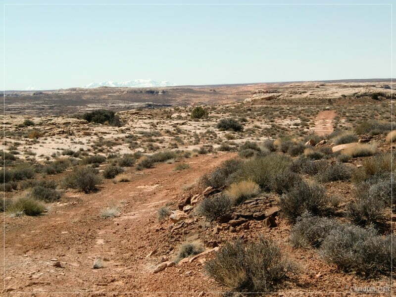
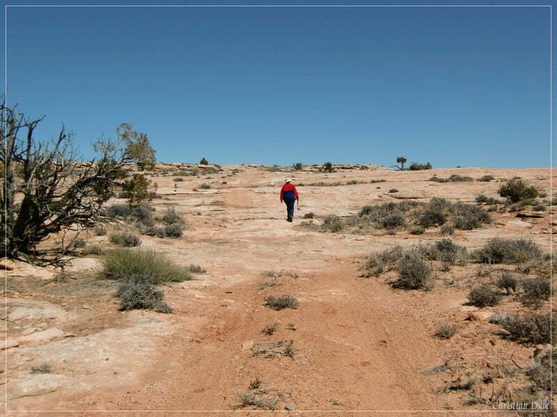
….and of my spotter, who guided me through the rocky terrain.
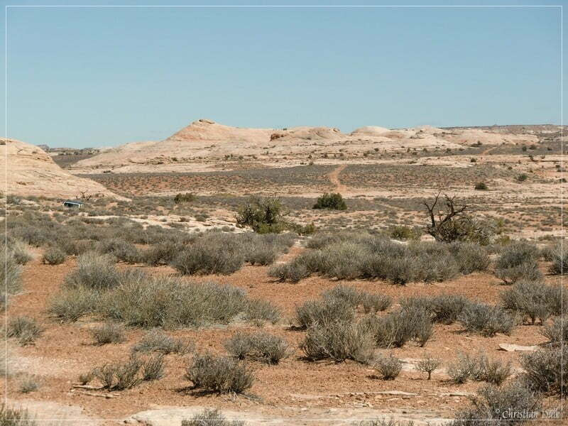
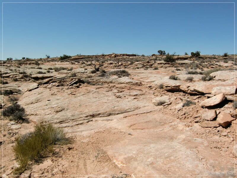
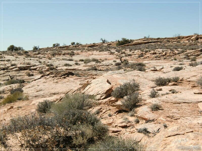
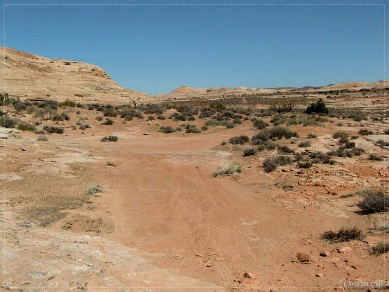
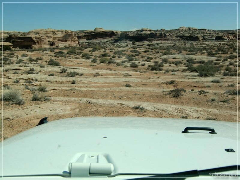
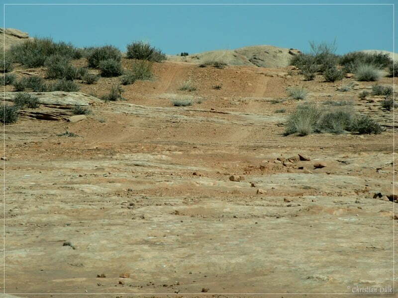
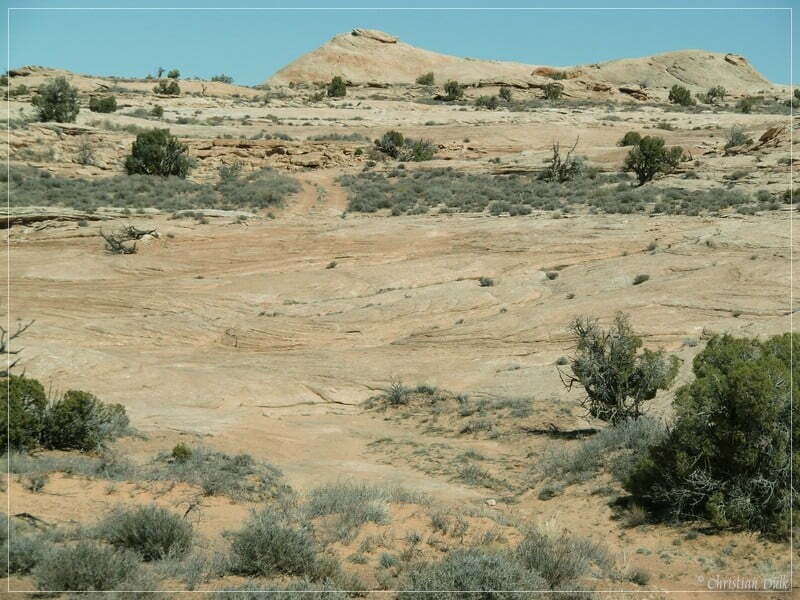
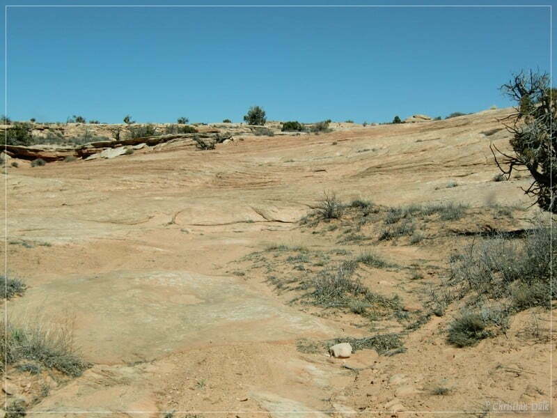
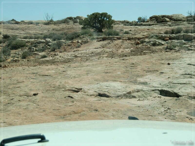
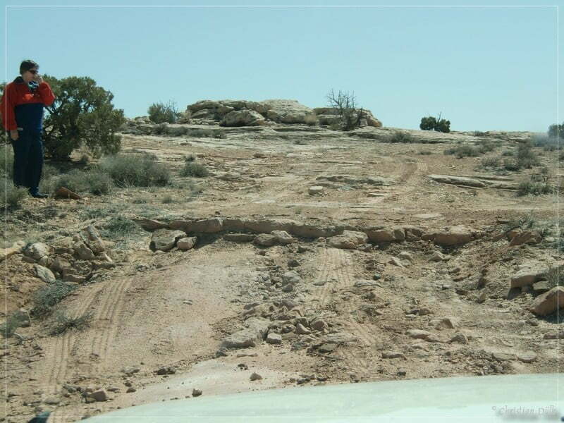
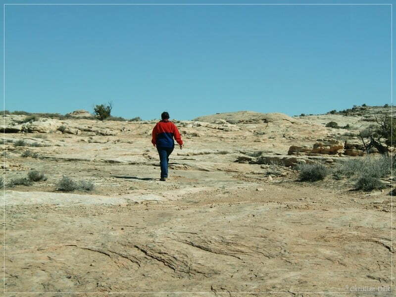
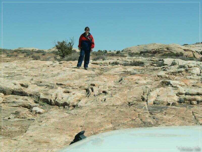
As we had a stock vehicle, we had to watch carefully, not to destroy anything of the vehicle.
Soon we reached again the sandy part of trail no. 3, which guided us back to Spring Point Canyon Road.
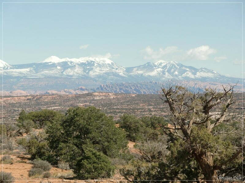
Via Dubinky Well Road we went back to US313, where we had a good view on the La Sal´s.
This was a wonderful trail in an absolute lonely region. One should have good equipment, when going there. We did not see any other vehicle the complete day. The trail is a mixture of slick rock and sand. The third spur trail seems to be the easiest connection trailDies war ein schöner Trail, in eine ab.
For a better orientation, one can download a gpx file of this trip:
Tracklog: The Very End, Moab, UT (585 downloads )
And here is an overview of the area, we visited:


