It was our last day in Moab, so that we did not want to do a more difficult trip. Our vehicle had a damaged suspension, so that we wanted to avoid any rock crawling.
We are starting from Moab on US191 towards I70. At 12S60969X 428942X (UTM/NAD27) we are leaving US191 to the left to drive along Blue Hills Road. If it is wet, it is not possible to drive Bue Hills Road. This should be kept in mind.
The trail was somehow a little bit rough.
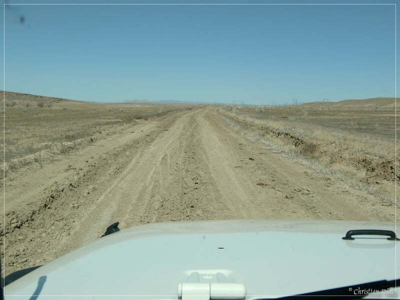
We are passing the turnoff to Bartlett Wash and Hidden Canyon and soon we see the turnoff towards Dubinky Well Road to the left. At 12S59977X 429334X we are using the right trail. To the left Levi Well Road continues. Along the way one can have absolute scenic views:
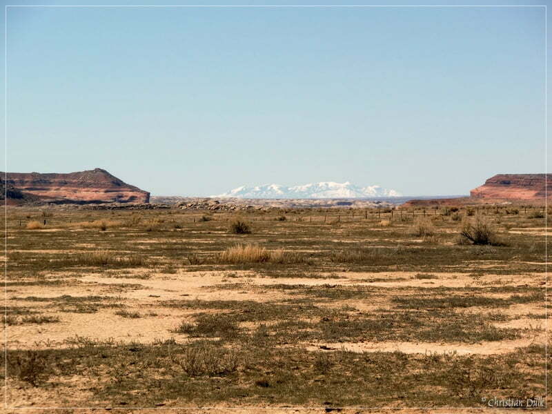
The ongoing trail is slightly easy.
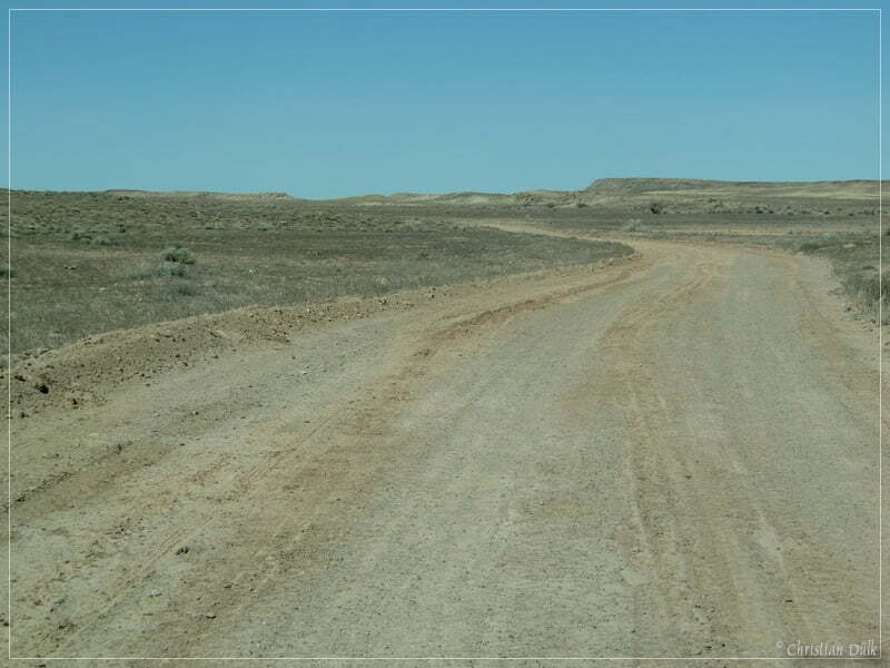
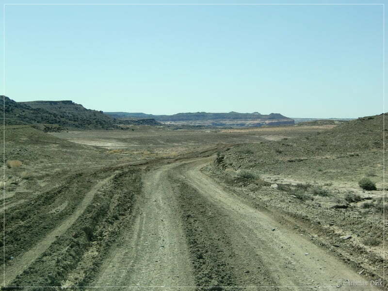
Here a view back on a rougher part:
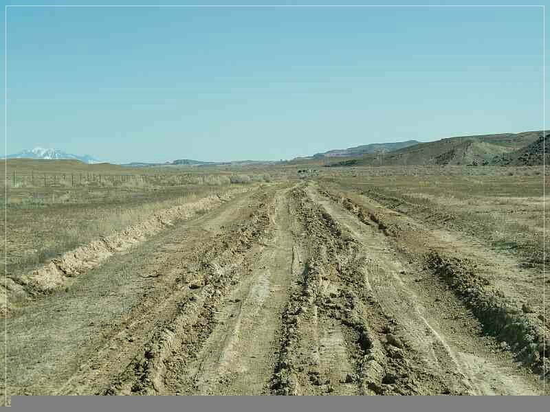
At 12S59636X 429514X we are crossing Thompson Wash and are reaching soon a turnoff to the left, which leads us to Ten Mile Point. If one continues straight, he will meet Ruby Ranch Road, which leads to I-70 (Ruby Ranch Exit).
After turning left, the color changes.
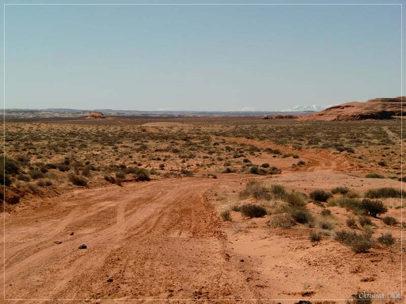
Here a view to the left:
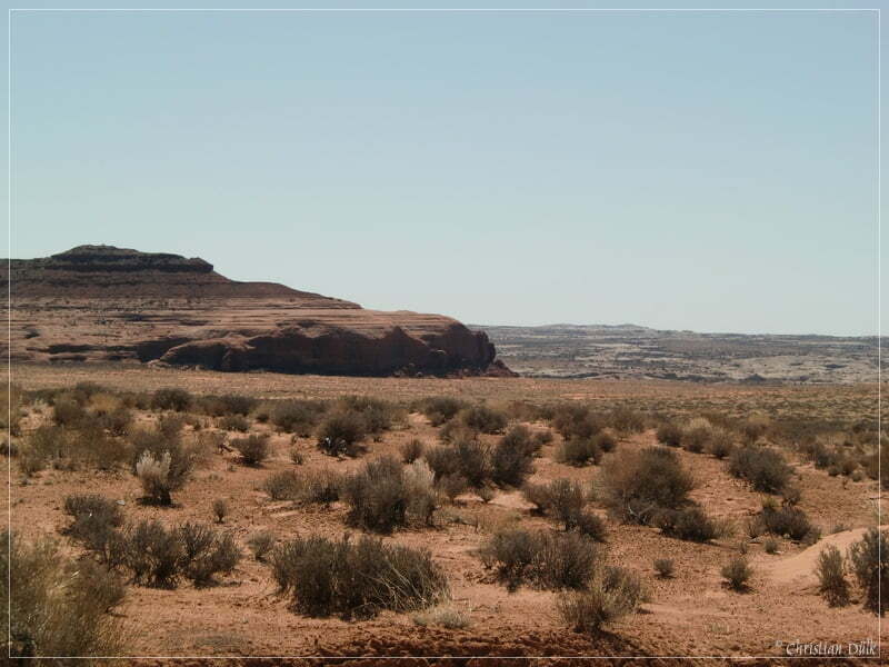
In the background one can see Rainbow Rocks:
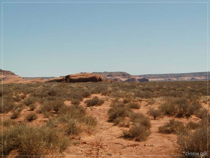
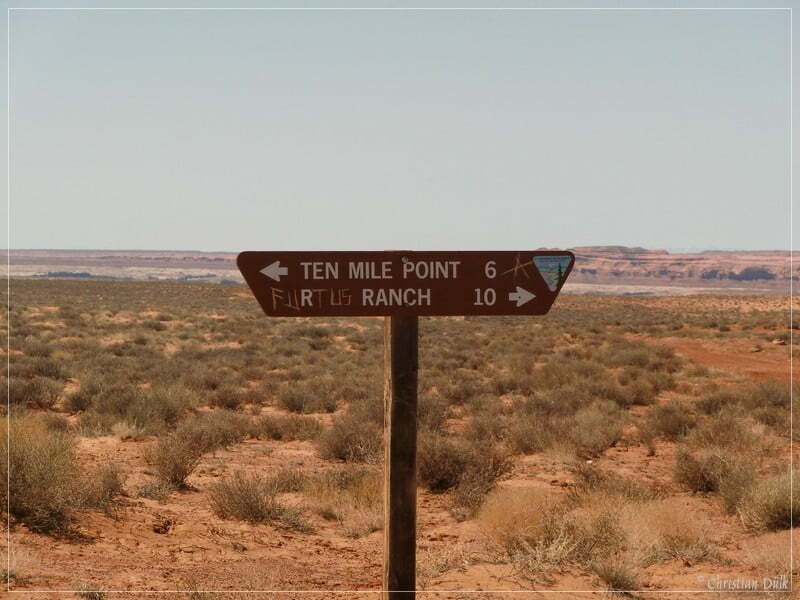
At 12S58861X 429124X we are passing Duma Point and at 12 S 587000 4289384 the trail towards Dripping Springs turns off to the left.Later we are passing a trail sign, which shows us the distance to the Ruby Ranch and Ten Mile Point:
At 12S58262X 428666X we are reaching a fork. The worse trail to the left is the right one.
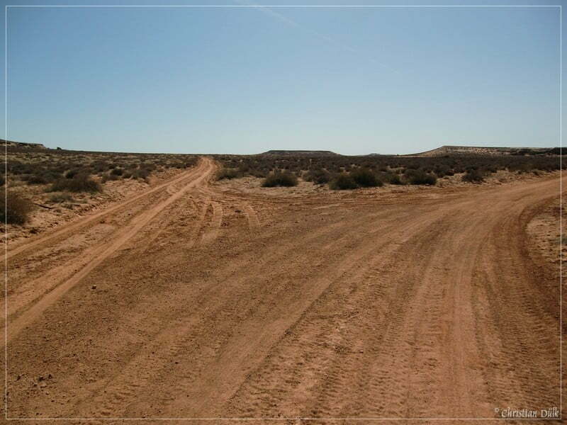
Here a picture of the ongoing route, which we have taken on the way back and a few impressions from along the way:
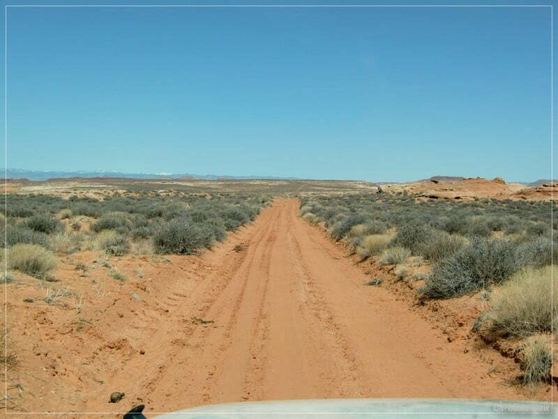
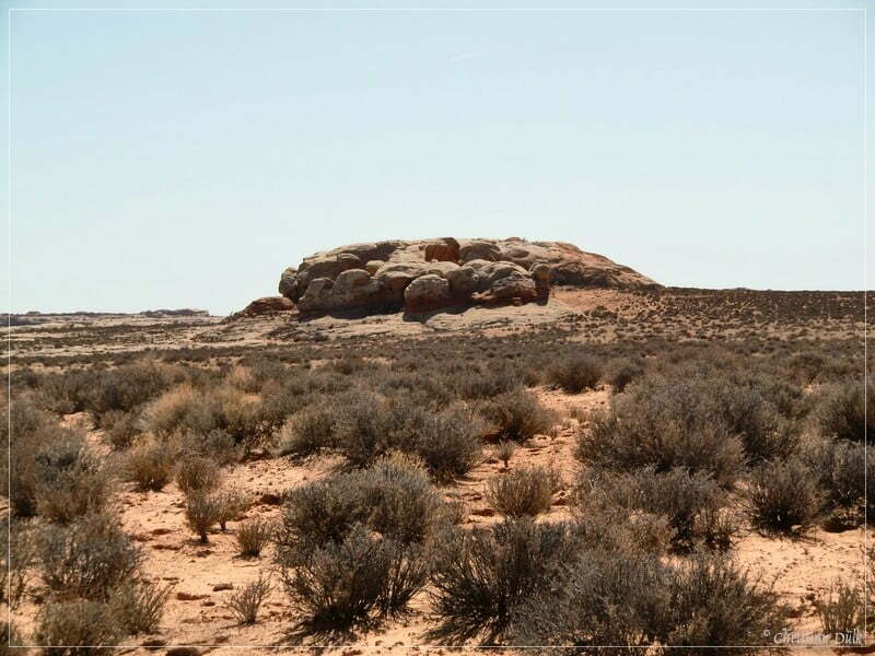
We are now coming closer to Labyrinth Canyon and Ten Mile Point. On the map Ten Mile Point is marked at a slightly different position.
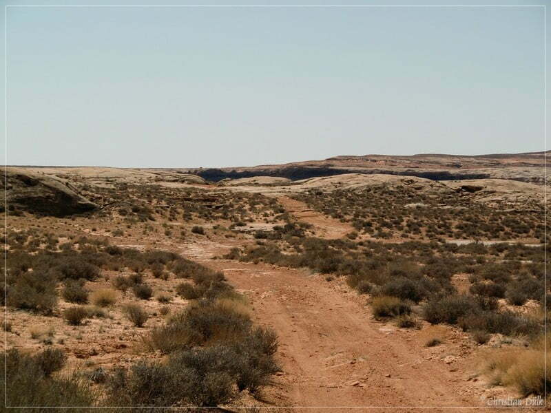
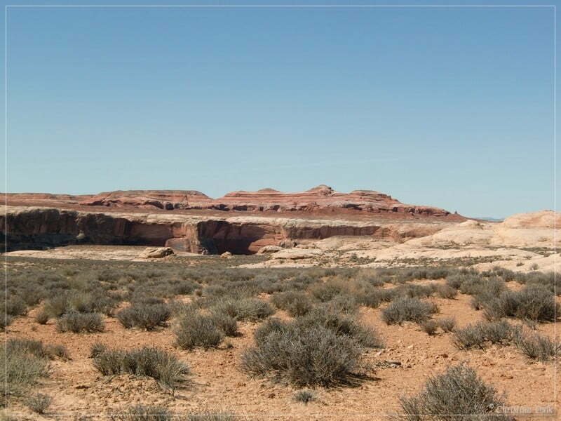
The trail is forking again here and we are taking the left path to stop at a drill hole. The trail is again forking here and both routes lead to the rim above the Green River.
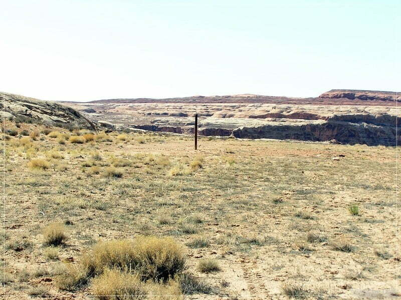
The right spur is the much more difficult one. Here a few pictures of the ongoing trail.
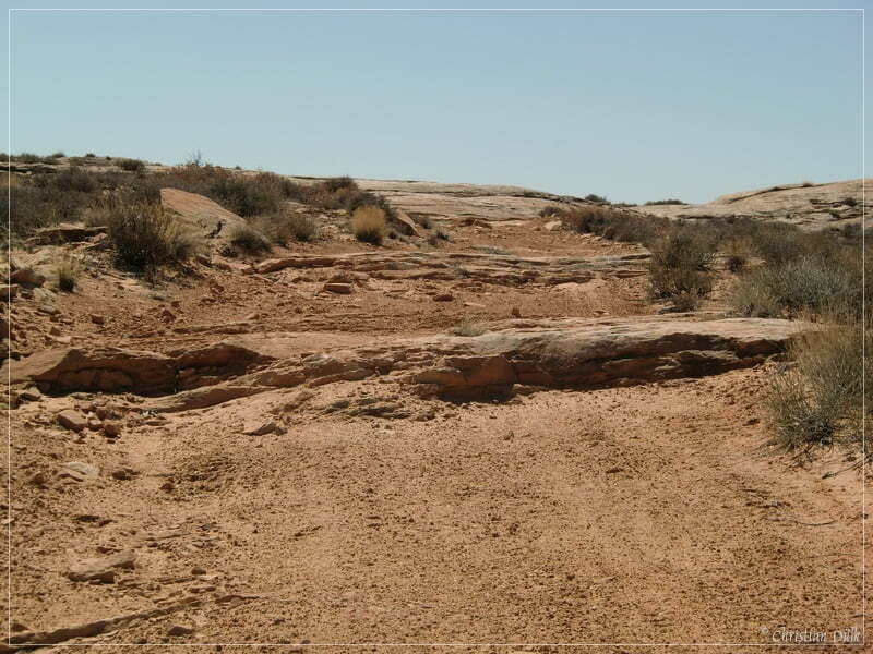
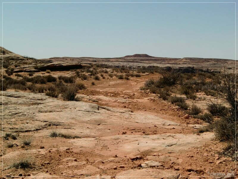
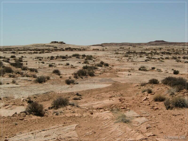
Here a view scenic views:
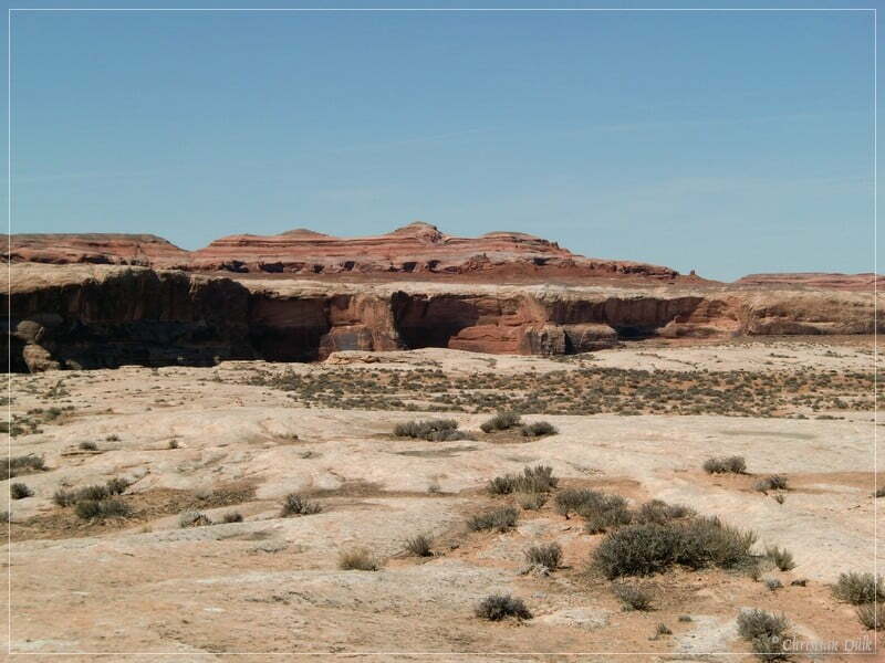
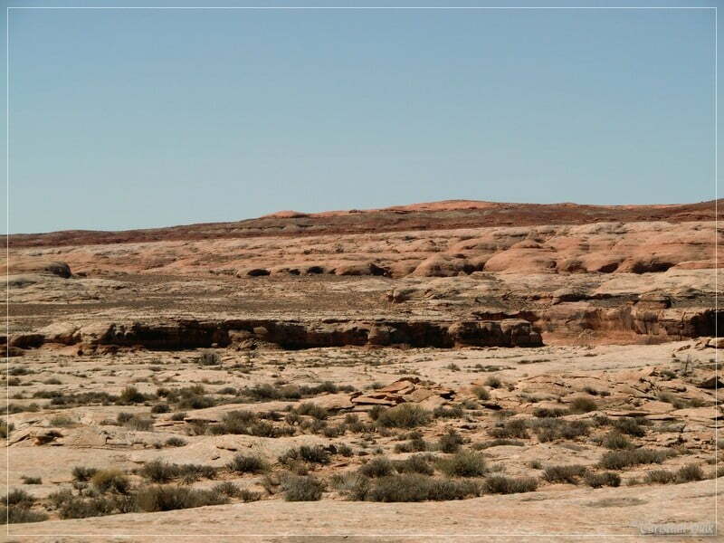
Before we are continuing on our way:
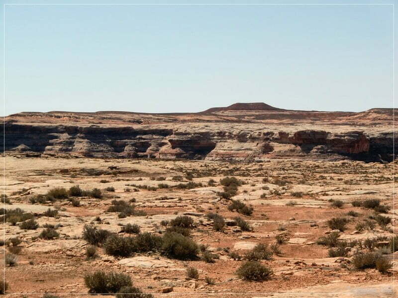
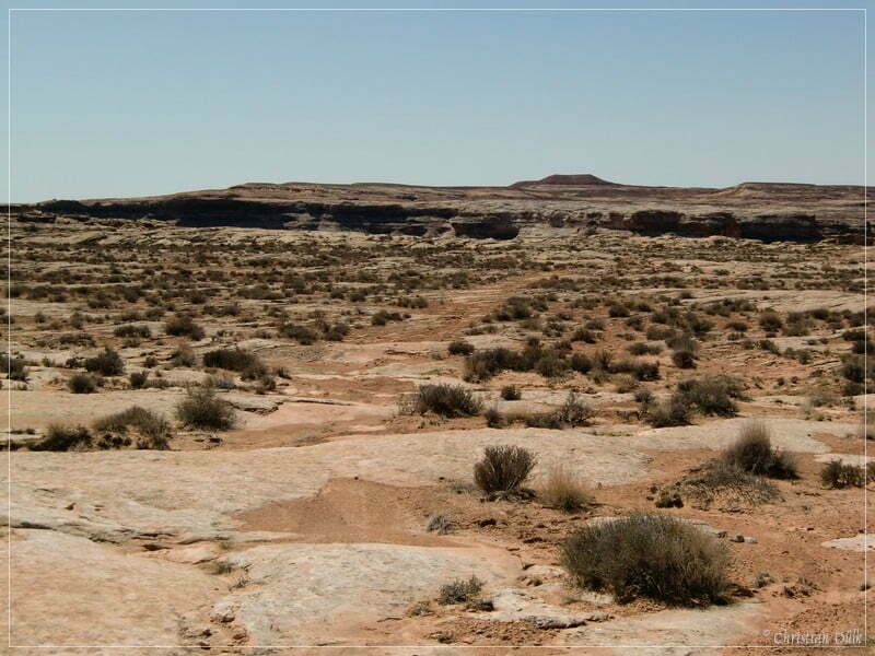
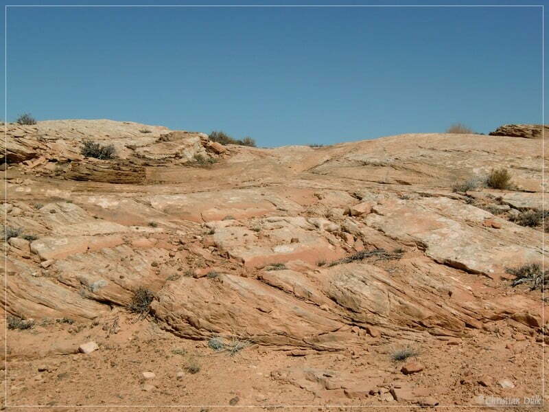
At the rim one can have gorgeous views:
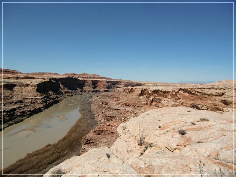
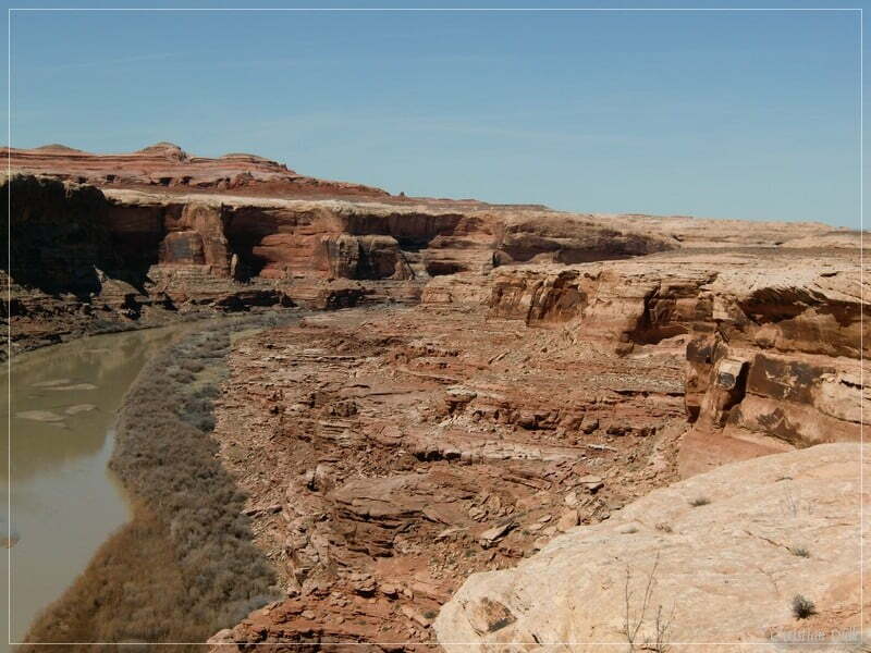
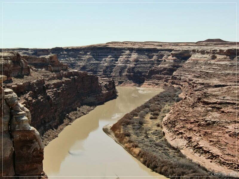
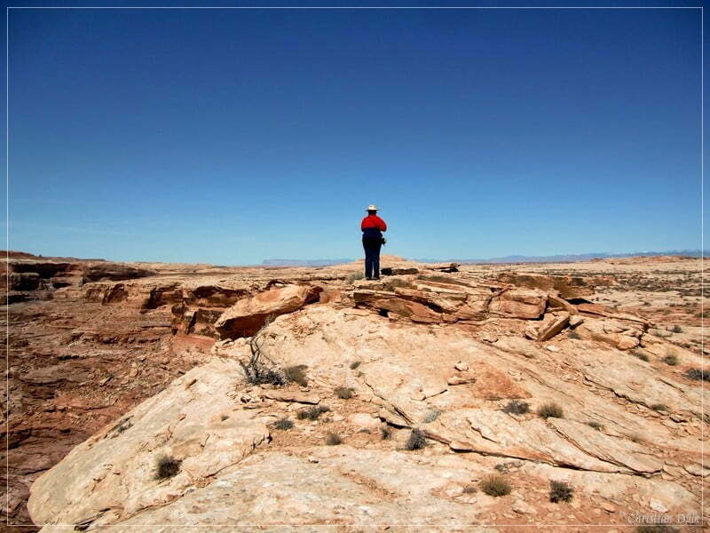
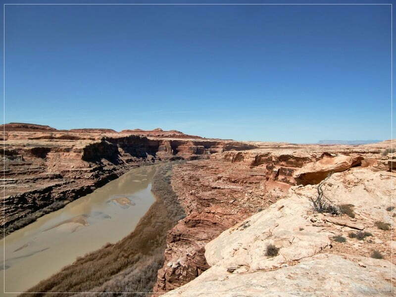
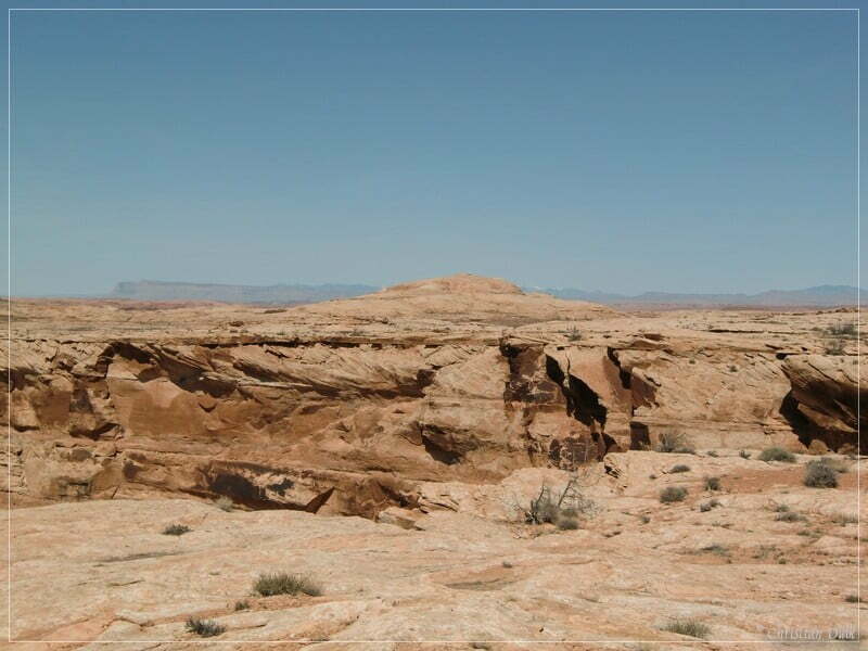
South of Ten Mile Canyon is another view point, which is called “The Very End” . Details about the route to this viewpoint one can find in our trail description.
Unfortunately I did not have enough batteries with me for my camera, so that we had to use our emergency camera’, which doesn´t provide good picture quality.
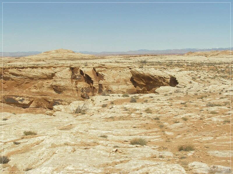
Here a view towards “The Very End” (left):
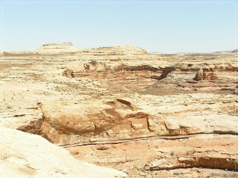
And a view more views:
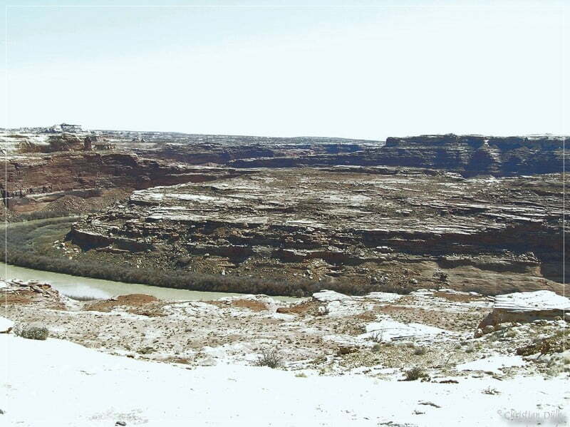
Here we are now on the second trail, which comes from the drill hole. This trail is much easier, then the other one. If you are watching carefully, you can find a foot path, which is marked with cairns and leads to the rim of Ten Mile Canyon exit.
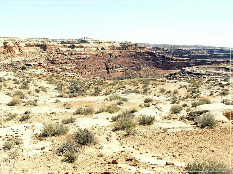
Here a view more views along the way:
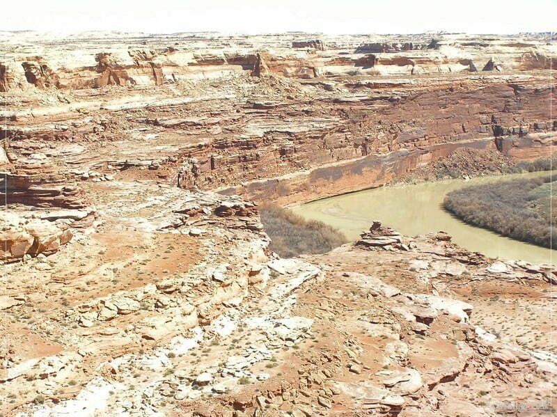
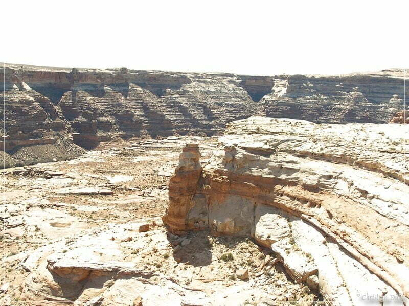
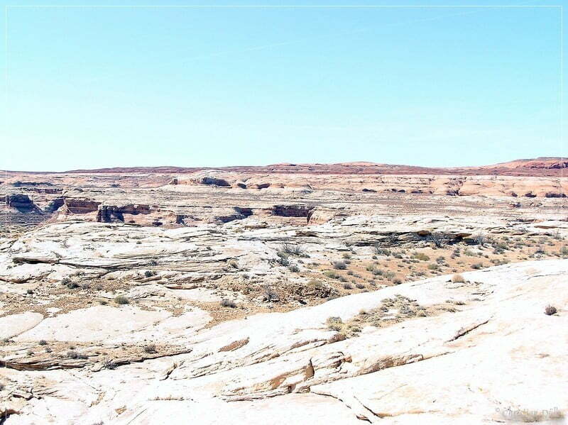
And a picture of the trail, which brings us back to the Drill Hole.
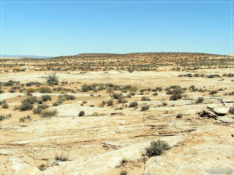
We plan to visitTen Mile Point again, as we want to take better quality pictures. The route to Ten Mile Point is mostly easy. The last part is something for people, who want to do some slickrock driving. It could also easily walked.
For a better orientation, one can download a gpx file of this trip:
Tracklog: Ten Mile Point, Moab, UT (928 downloads )
And here is an overview of the area, we visited:


