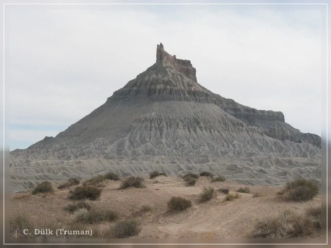
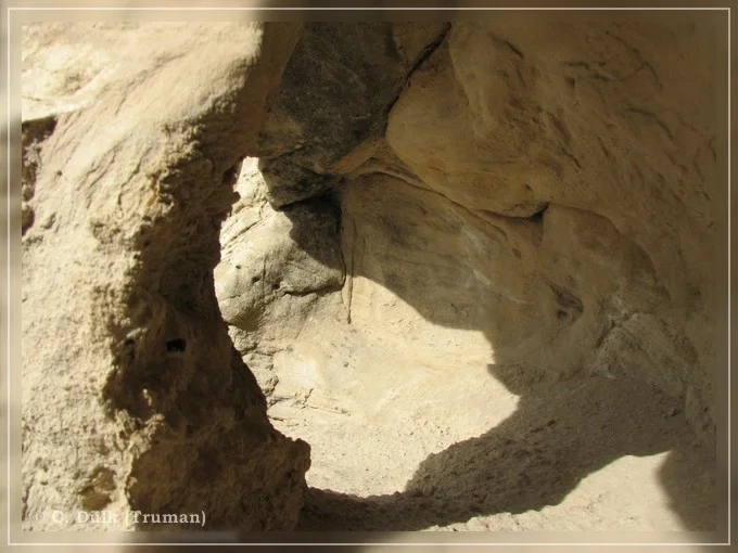
This a nice trail along North Cainville Reef, which could be connected with the Cathedral Valley loop trail, if some time is left. The first time I got knowledge about this trail was, when I saw a picture from Rolf (Hatchcanyon) somewhere in the www. I also want to thank Rolf for his support on this route.
The trail connects Cainville Wash Road with Coalmine Road, so that one easy can find his way back to UT24 from Coalmine Road.
The turn from CainvilleWash Road is at 12 S 497700 4246444 UTM (NAD27Conus).
We started at around noon and as an information, this is not the best time to do this trail and to get great shoots. Late afternoon should be much better to take scenic pictures.
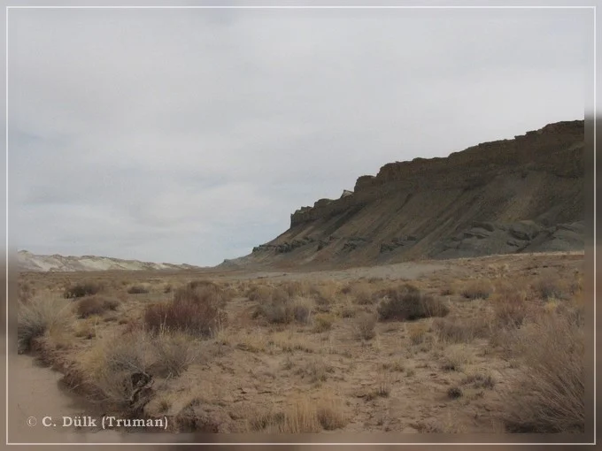
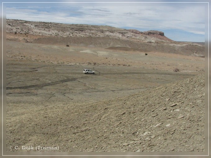
Here a view back towards Cathedral Valley:
From the right side one comes down from Cathedral Valley, to the left one can go to UT24 via Cainville Wash Road. If you are following the sign posts from Cainville Wash Road you are coming down that steep drop off in the background of the following picture. But it is also possible to drive through the wash to reach this parte of the trail.

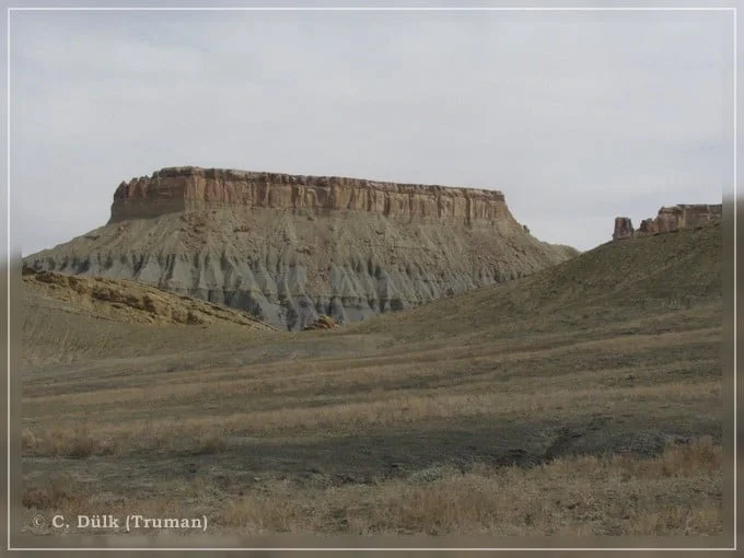
From here you are starting to discover a somehow moonlike scenery, which looks completely different than Cathedral Valley (with its red stones).
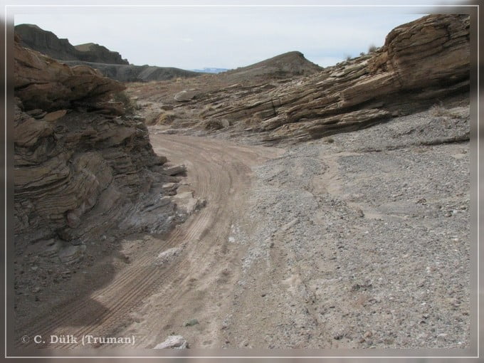
The trail itself was easy going, when we were driving it. At the beginning the route is following the wash and the reef is to the right. Later the trail is like this:

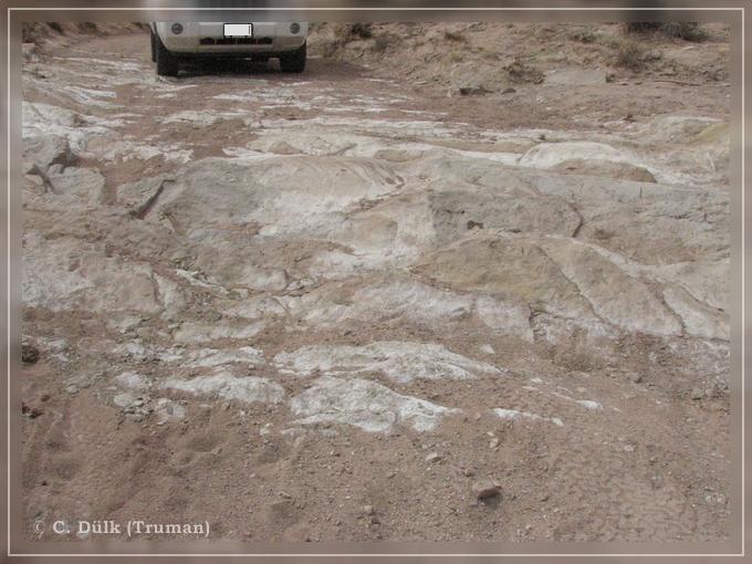
Here a part of the trail which was slightly rocky, but no problem for a SUV.
After this the trail continues straight in the wash:

Soon we are leaving the wash, moving to a higher level:

And it gets wider and wider:
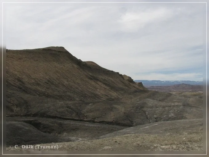
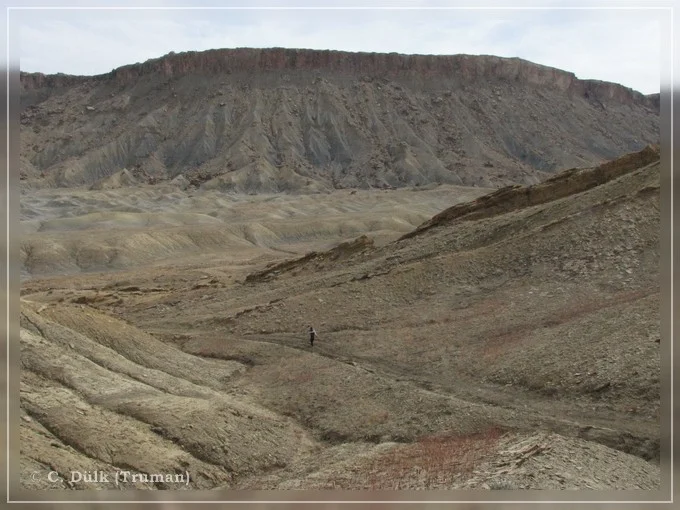
Here a view back to where we came from:

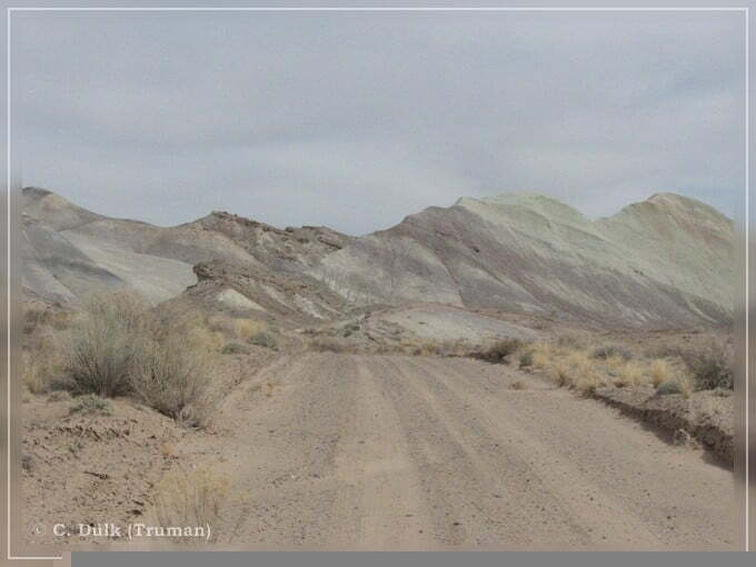
Now we are reaching a colorful wonderland, which has to be seen in the nature, because the pictures are not showing the colors.
It starts from violett over yellow to grey (from the top downwards).
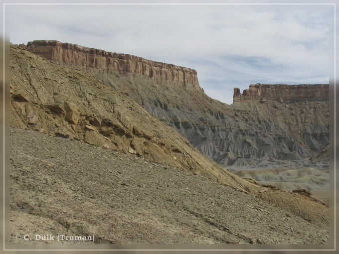
Here one can also see a lot of ATV tracks, so this portion seems to be very popular for the locals:
Here a sign post:

From here we are turning to the right towards Coalmine Road and here we are also facing the only small obstacle, which was not a problem at all for our Commander.
From here an easy gravel road leads to Coalmine Road.

Factory Butte is also clearly visible from here and we now tried to find Factory Butte Arch.
There were a lot of different arches, so that we were not sure, whether we found the real one. We just took pictures from every small arch, we found.
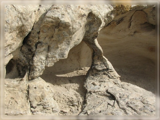
From here it was just a short distance to UT24.

The trail is roughly 18 km long and, as described, easy to drive at the time, we were there. It is recommended to drive in the later afternoon to get good pictures.
Here one can also download a gpx file of this trip:
Tracklog: Jeep Road along the North Cainville Reef, San Rafael Swell, UT (915 downloads )
And the map gives an overview over the region, we visited:

