Here I want to give a short trail description to an overlook over the Green River. It is Bowknot Bend Overlook. Based on Jack Bickers nomenclature it should be no. 66.2. The overlook is located northwest of Moab in a region, which is seldom visited. In the morning, after entering our ´beloved Jeep Liberty, we again got a tire pressure monitoring error message, so that we had to adjust our todays trip plan. After filling up our left back tire, the error message went away. We now decided to visit a Green River overlook, which is not to far away from Moab,UT.
I read a trail description from Jack Bickers and he rates this overlook as one of the best viewpoints around Labyrinth Canyon.
My wife, copilot and navigator was also satisfied with the route selection and the proposed route difficulty.
The trail is located between Spring Canyon and Deadman Point and one can find lonelyness in this region.
We started from Moab to the north on US191 and turned on US313. We are turning right at 12S060435X/427608X. This trail also leads to the well known Dubinky Well Road. At 12S060269X/427758X we are turning left onto Spring Canyon Bottom Road. Here the trail goes straight ahead:
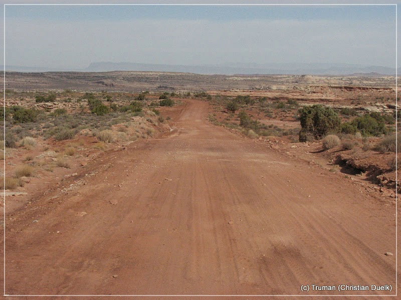
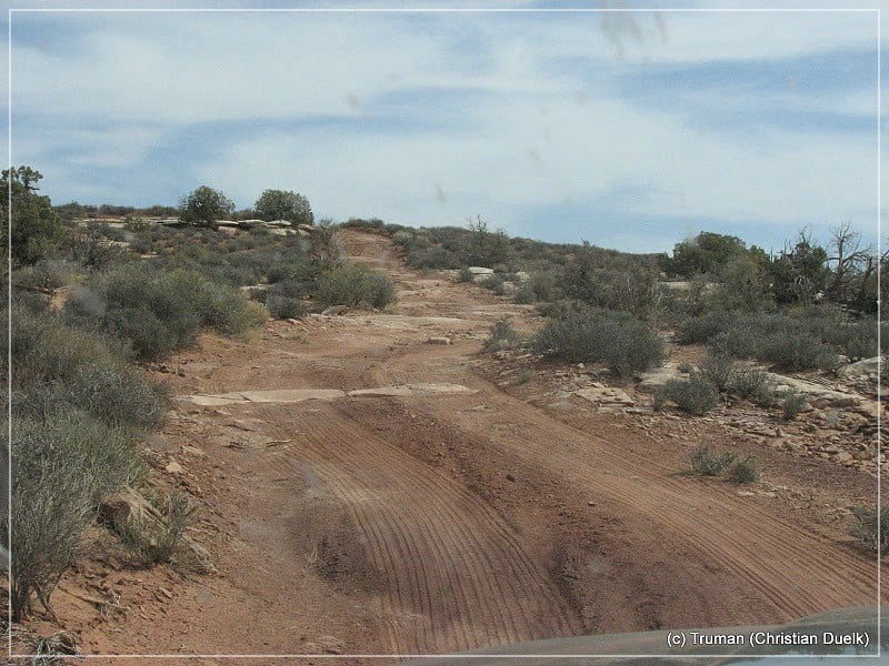
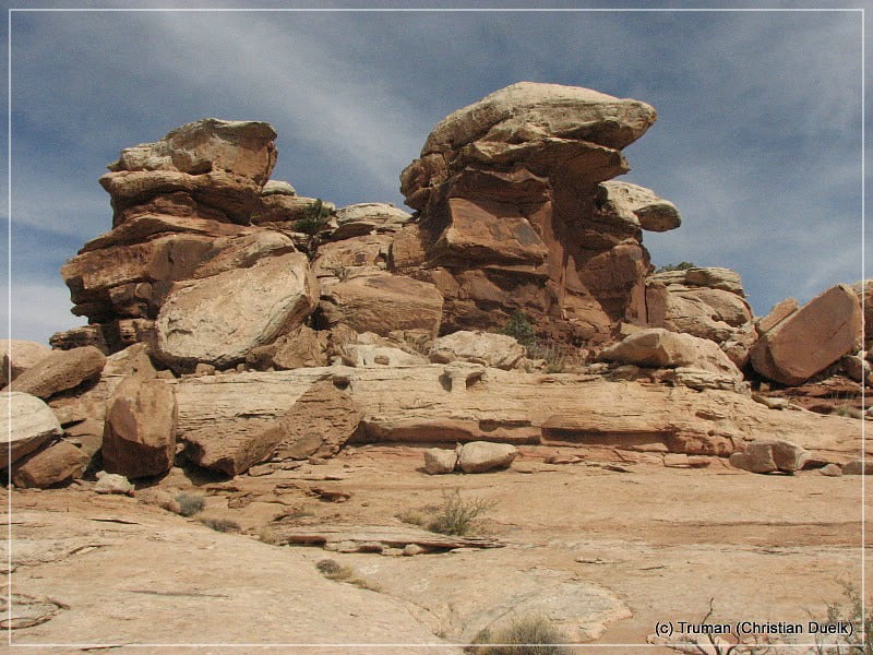
At 12S059336X/427572X we are crossing Deadman Point Road, which we will use on the way back to Dubinky Well Road. At 12S059135X/427607X a dim trail goes to the left. We are entering this trail and move forward into westerly direction. The route is mostly easy with some slight slickrock parts.
Here a few pictures of the trail:
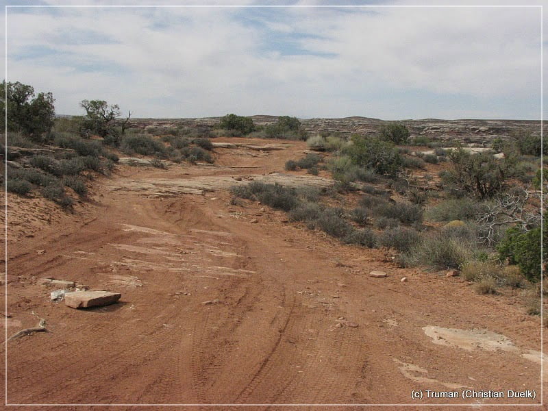
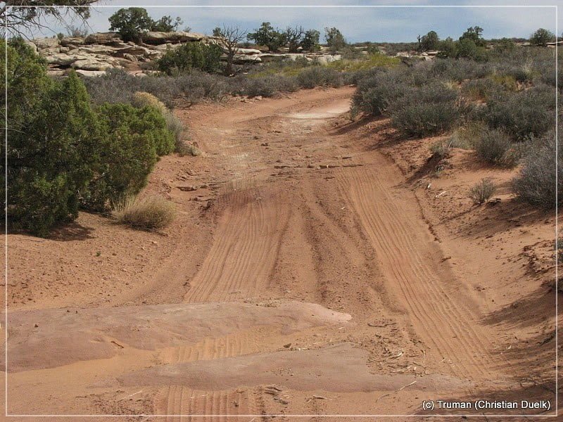
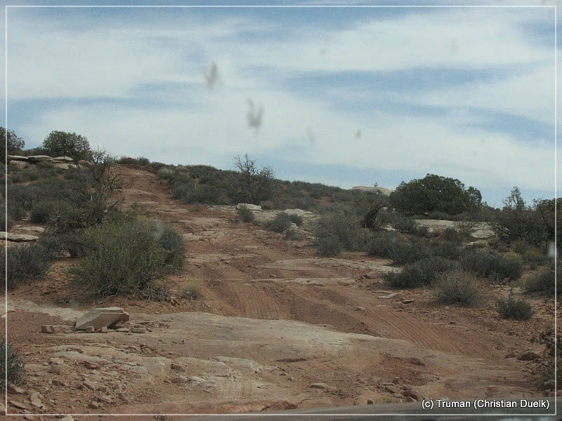
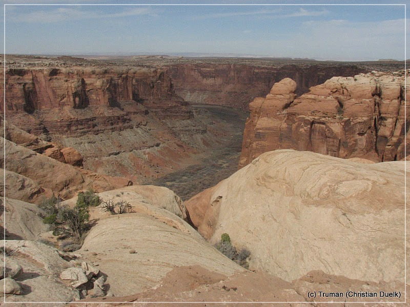
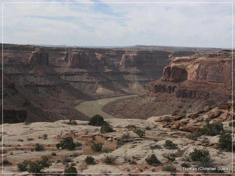
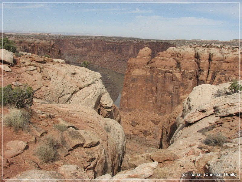
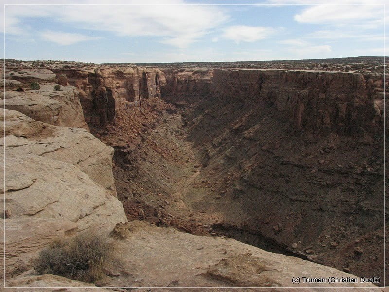
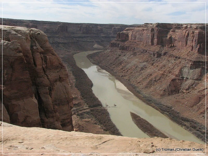
At 12S058821X/427428X we are reaching the parking spot. From here one has to hike roughly 100 m, before the overlook point over the Green River is reached. On the opposite side, Bowknot Bend could be seen.
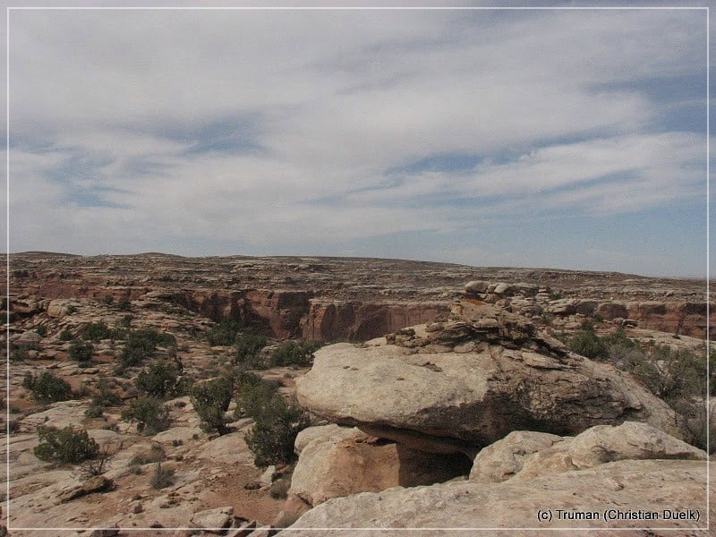
Here a few pictures from the fantastic scenery:
After some time, enjoying the scenery, we went back to our vehicle. At the parking area, a trail leads to two more viewpoints to the left. This route also connects back to the route, we came in to this overlook.
But we planned to look into a shortcut to Dead Man Point Road, which turns to the right at 12S058939X/427485X on our way back. We are following this trail for a short time, before we reach a small drop off, which we did not want to do with our Liberty. On the picture it seems to be easy, but in reality we feaded because of our available ground clearance.
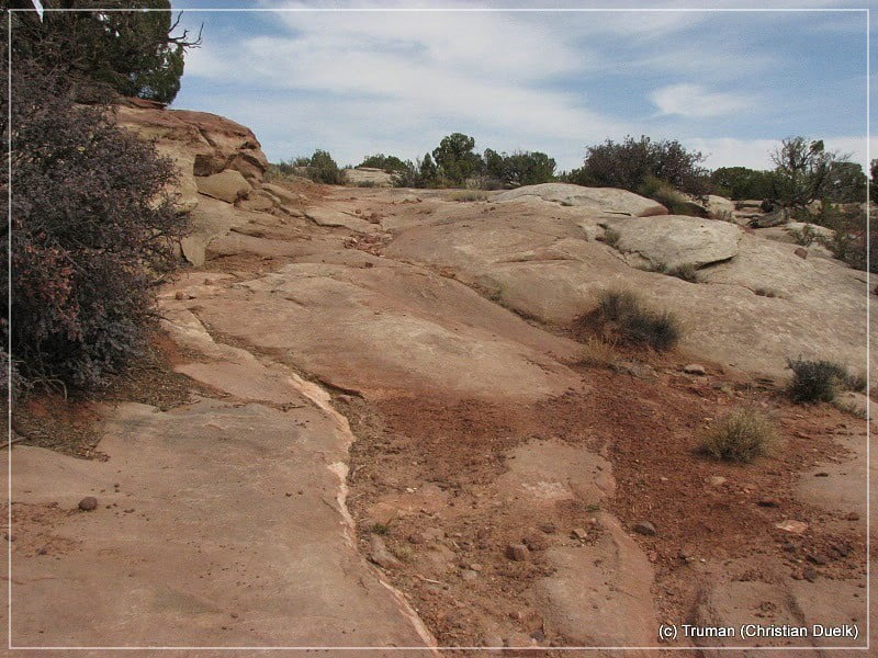
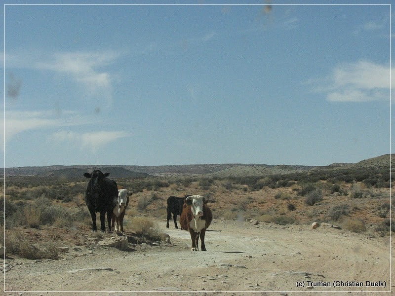
Instead of this, we went back on the trail we came in and turned on Deadman Point Road from Spring Canyon Road. The route quality is comparable with the trail we used to Bowknot Bend Overerlook. But as the weather turned, we went back. On the way back we were following Dead Man Point Road until reaching Dubinky Well Road.
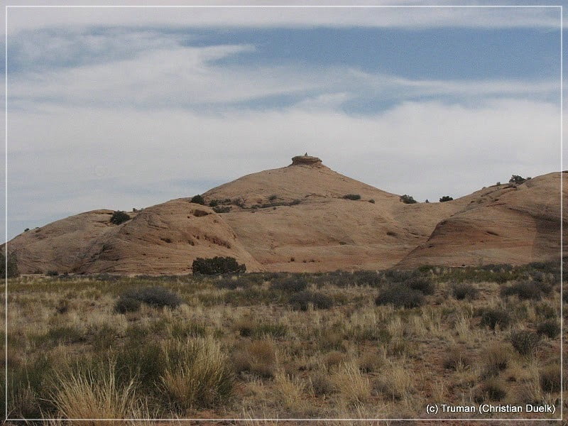
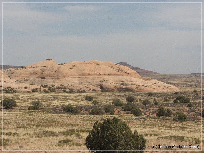
The following picture were taken on our way back:
From Dubinky Well Road we were driving back to US313 and from there, back to Moab.
This was a wonderful half day trip, which we could even do with our slightly damaged Liberty.
For a better orientation, one can downlload a gpx file of this trip:
Tracklog: Bowknot Bend Overlook, Moab, UT (773 downloads )
And here is an overview of the area, we visited:


