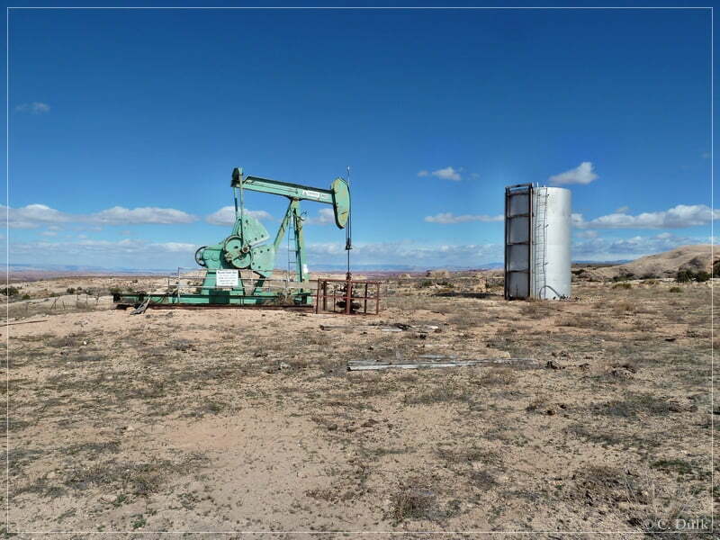
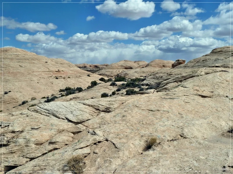
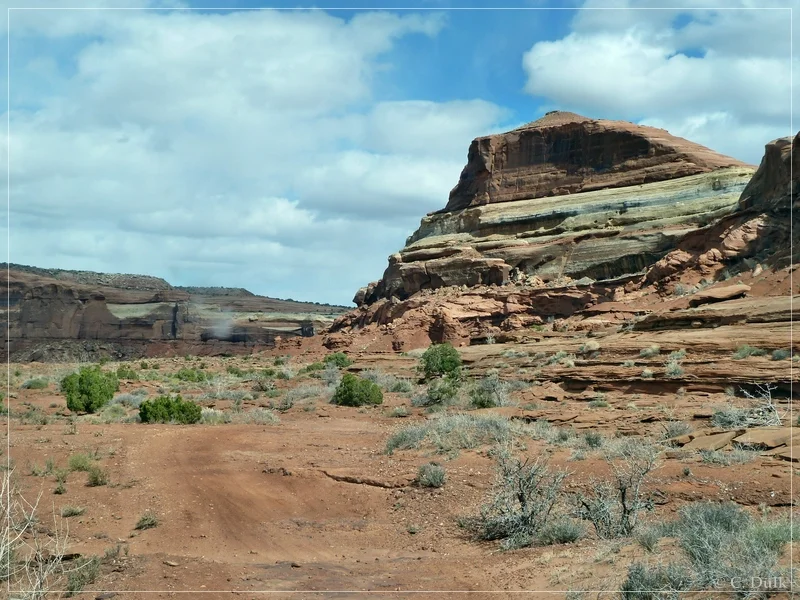
One may ask, what the hell is Rock Canyon Point. We got to know about this point, when reading an old description about trails northwest of Moab, UT last year and when we did our run to ‘The Very End‘. Rock Canyon is the largest tributary of Ten Mile Canyon. The trail itself is a loop trail, starting from the oil well at oil well road. Loneliness is guaranteed. We did not see any other vehicle in this area.
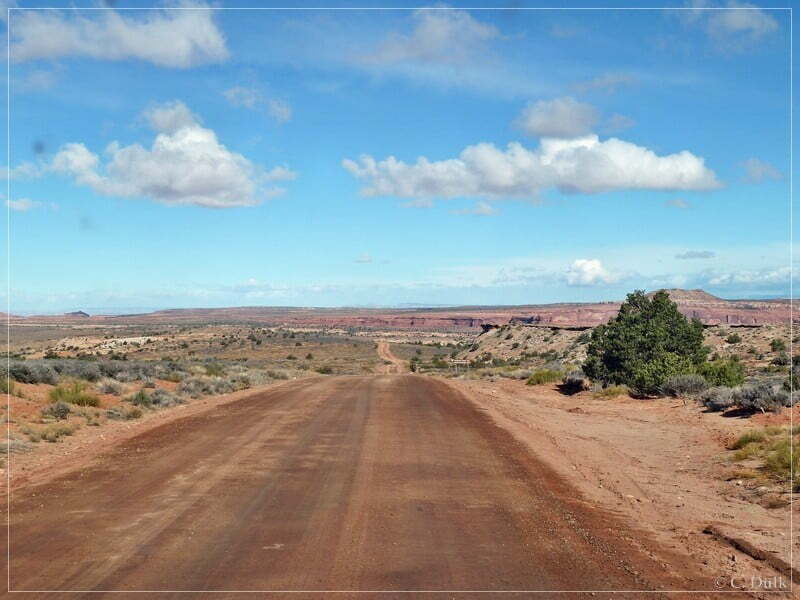
We started from Moab on US191 northward and turned to the left on US313. At 12S 60433X 427608X (UTM/NAD27) we are turning right towards Dubinky Well Road.
At 12S 60266X 42775X we are again turning right:

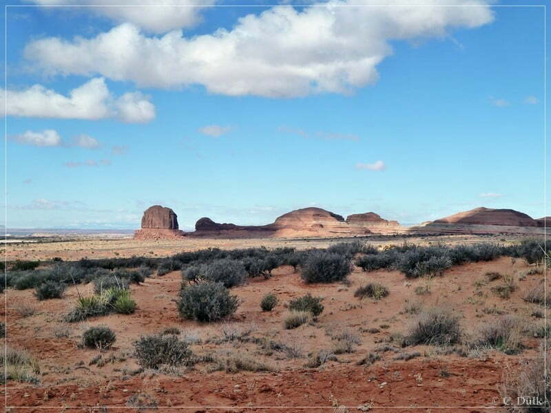
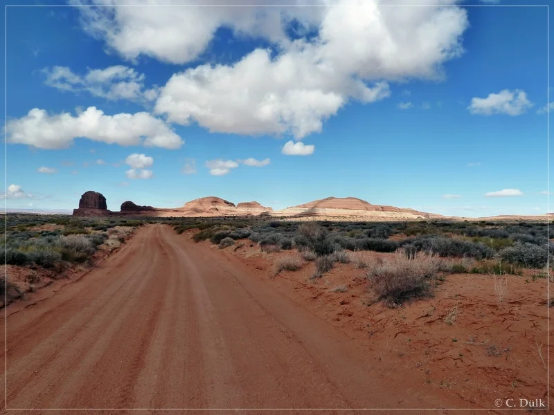
We are following Dubinky Well Road and to the left the landmark ‘The Needles’ and the Rainbow Rocks can be seen:
Shortly before arriving at Dubinky Well we are turning left onto Spring Canyon Point Road (12S 59726X 428286X).

Here we are driving straight towards Tombstone Butte (‘The Needles’).
The Rainbow Rocks can be seen at its best:

If you are looking behind you, the La Sal Mountains are visible:
Directly after passing ‘The Needles’ is a right turn to the Rainbow Terrace-Trail. But we are going straight on Spring Canyon Point Road and enjoy the vicinity.

The trail was slightly easy, just with a few rocky spots…..
….until we reach the right turn at 12S 58945X 428219X onto Oil Well Road:

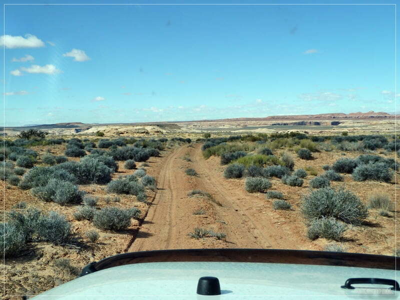
We are now following Oil Well Road….

….and meet the oil well at 12S 58535X 428252X. To the east is a trail system, which leads to a lot of hiking starting points i.e. into Frackles Canyon, Sand Canyon or Trail Canyon.
Shortly after the oil well is a right turn at 12S 58531X 428242X. This trail to the right leads to Rock Canyon Point. If one continues straight at this point, he may reach ‘The Very End‘.

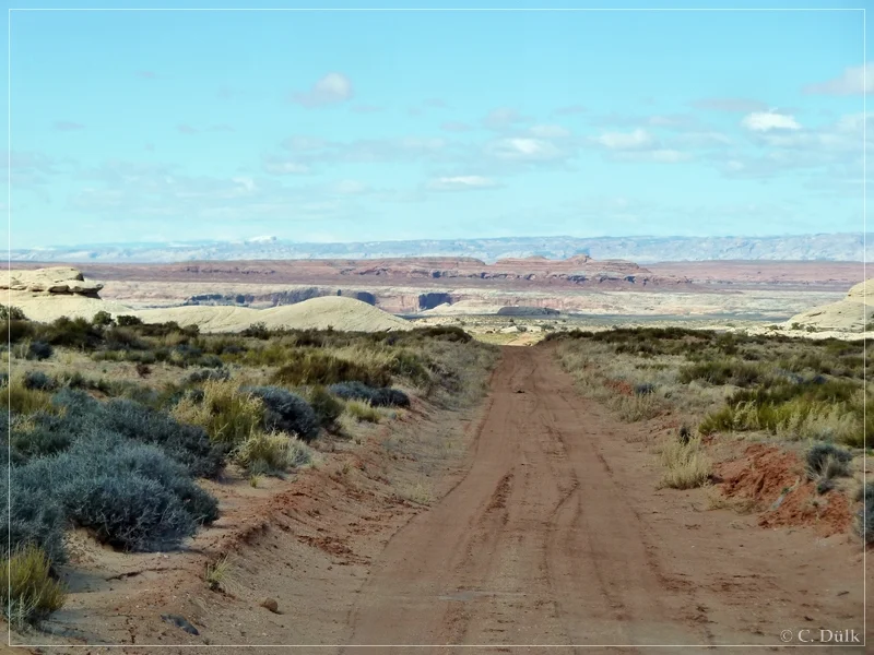
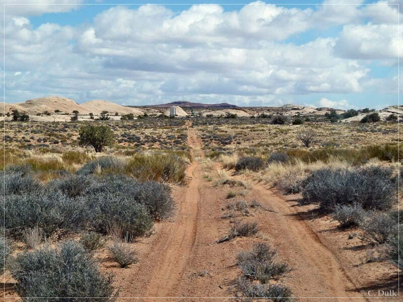
After this right turn we are going straight and Ten Mile Canyon is coming closer and closer.
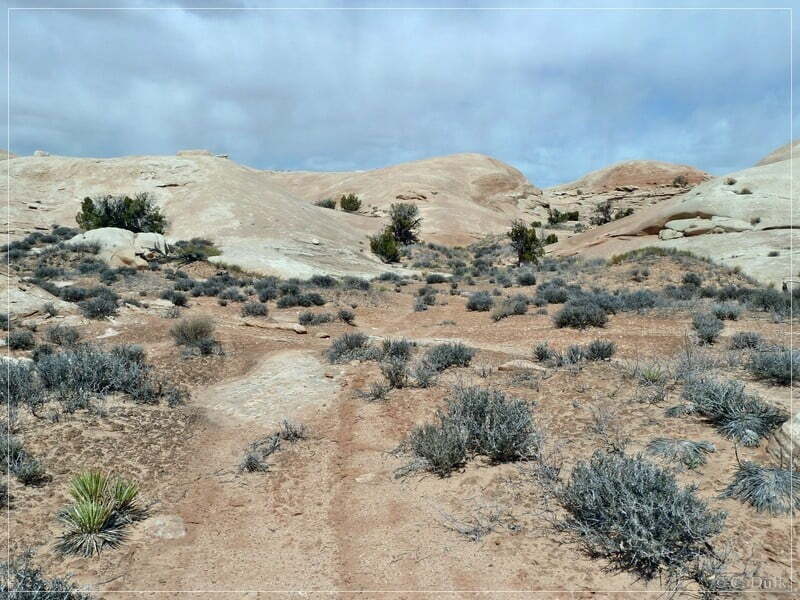
At a fork we are using the left spur. The right one we are coming down on our way back from Rock Canyon Point via the loop trail. In front of us we see the slickrock areas, we have to pass.

The rim of Rock Canyon is also coming closer.

Here a view back, from where we came.
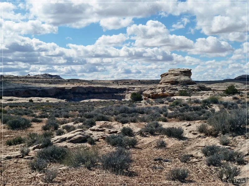
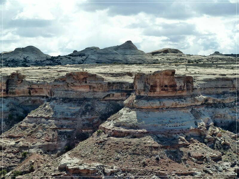
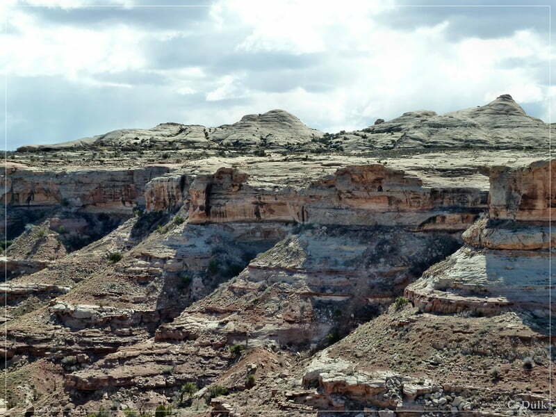
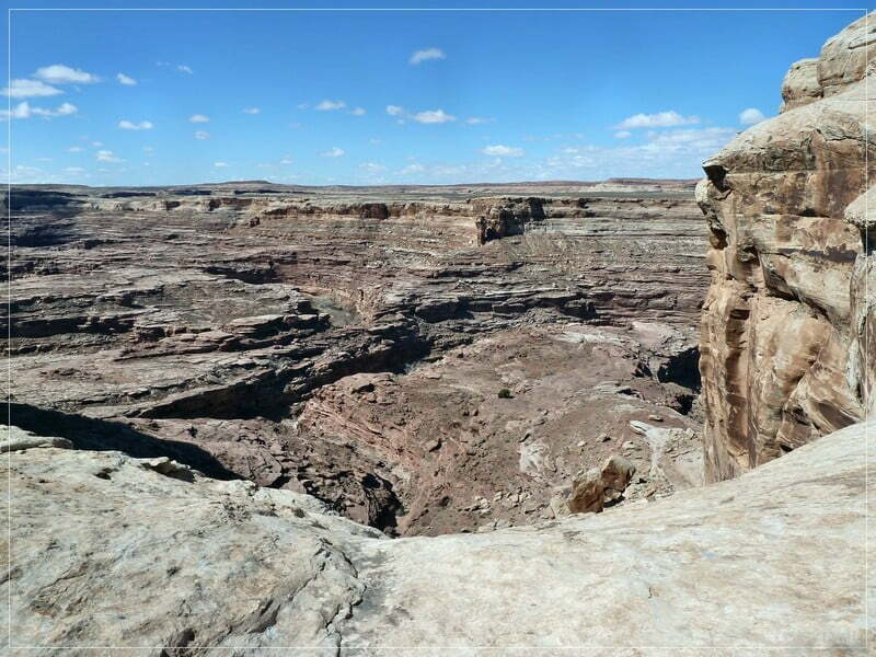
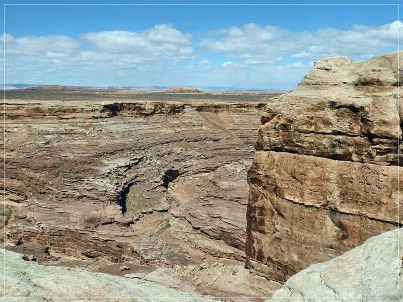
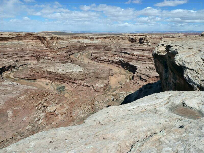
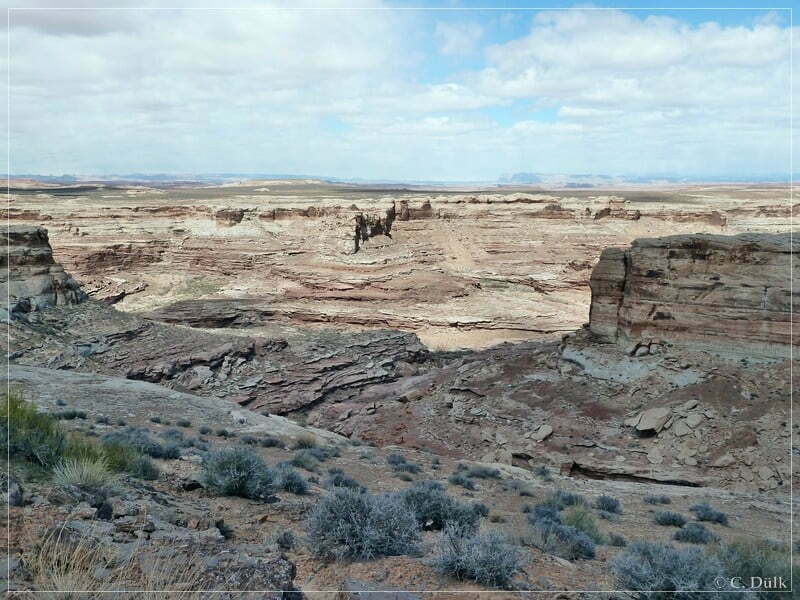
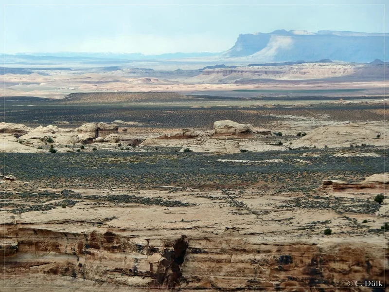
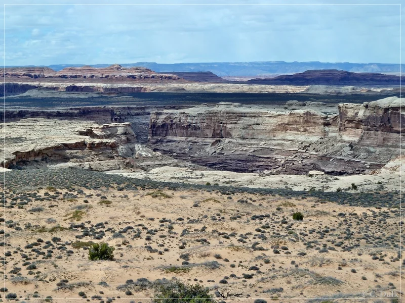
Soon we are arriving at a viewpoint at the rim of Rock Canyon. Here one can have some outstanding views into Rock Canyon itself:


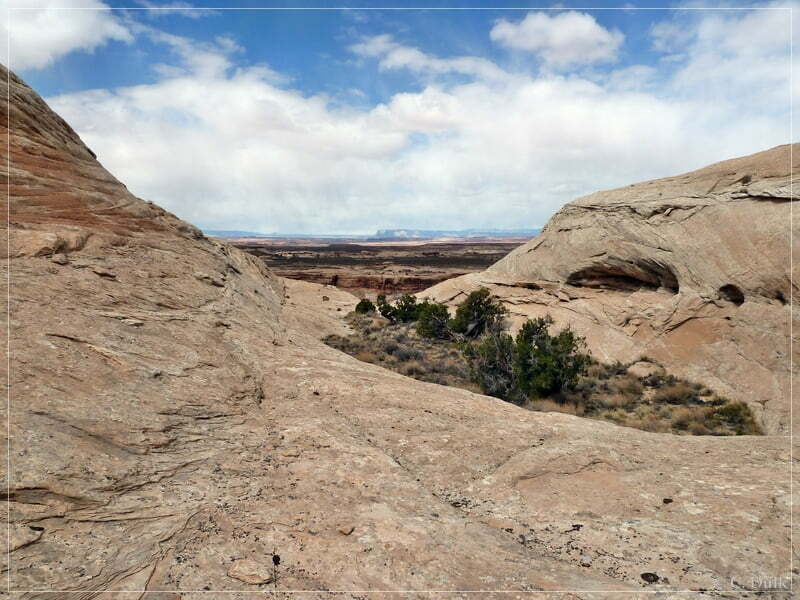
On the opposite side are some slickrock domes, we are climbing up later:
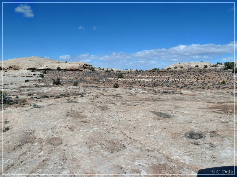
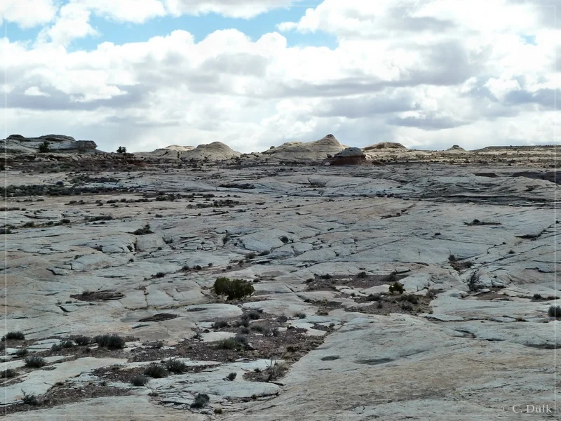
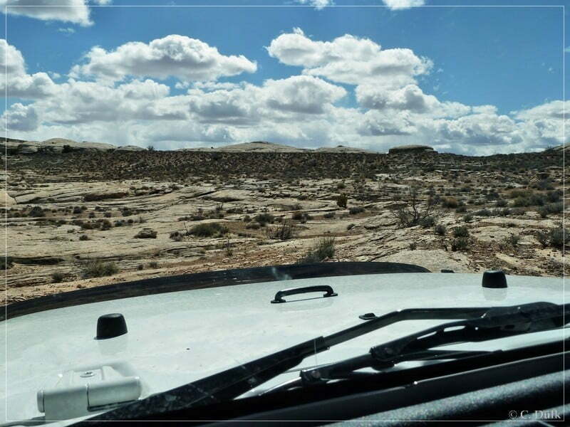
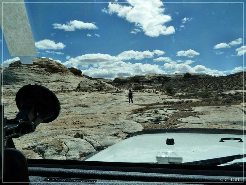
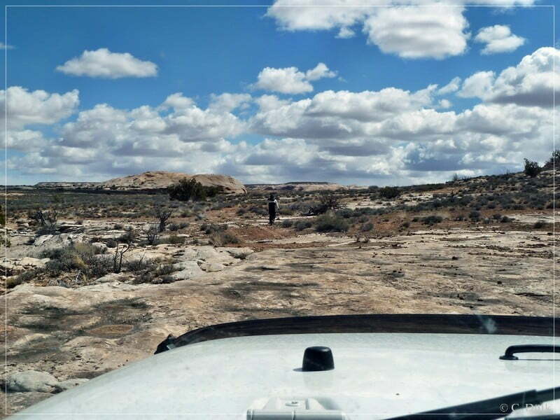
But this viewpoint was not the real Rock Canyon Point. To reach the real point, we have to cross some more slickrock areas. Route finding is not so easy, so my ‘spotter’ was walking in front of me to show me the best route option.

Here we continued and in the background of the following picture one can see the spur going up the hill.
Before we went up the hill, we made a short brake and hiked again to the rim region. of Rock Canyon. In the background of the following picture the ‘cross point’ of Ten Mile Canyon and Rock Canyon is visible.


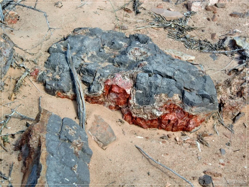
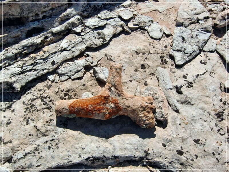
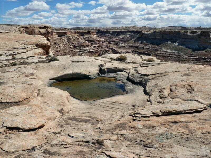
There are also some nice and geological interesting things to find:

The spotter also forced the driver to come out of the vehicle to be taken on a picture:

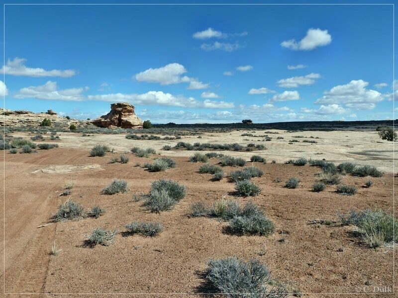
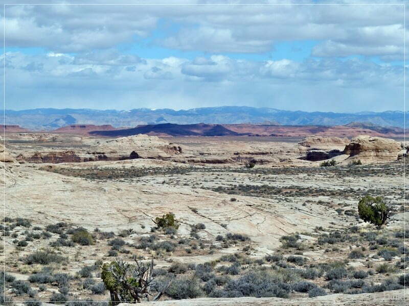
Here a view into the vicinity:
After this short brake we are continuing on the trail…


…until we reach at 12S 58267X 428163X Rock Canyon Point, where Rock Canyon meets Ten Mile Canyon. According to old descriptions, there should be also a possibility to find arrow heads, but we were not successful.
From here one can also have gorgeous views and even the flowers were showing up on our visit:


There was also some natural ‘rock art’:

In the background the Duma Point region and the Book Cliffs could be seen:
But we had to continue on the loop trail after some time….

We followed a hardly visible trail along Ten Mile Canyon.
My spotter again had to walk in front of me to find out the best route options.


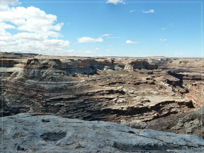
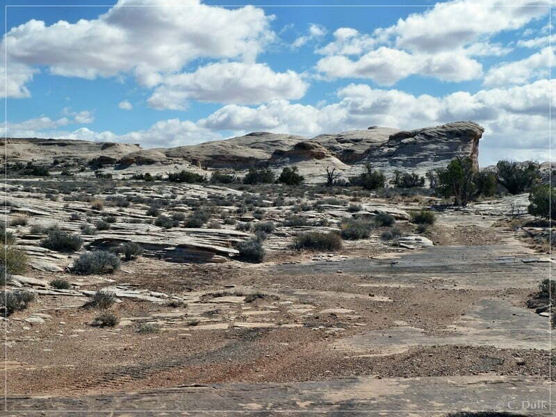
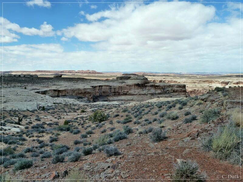
After some time we are again arriving at a nice viewpoint at the rim of Ten Mile Canyon (12S 58313X 428226X) The following pictures shows the region, we crossed before coming to this viewpoint.

After this viewpoint this trail gets easier and we are continuing on our way back to the oil well.


Here a picture of the fork, mentioned at the beginning of this trip report. The left trail we went in towards Rock Canyon Point.

Soon we are back at the oil well.
At the oil well we turned right to visit the opposite side of Rock Canyon. We used the connection trail, which goes to the trail to ‘The Very End‘. This connecting spur crosses the end of Rock Canyon.

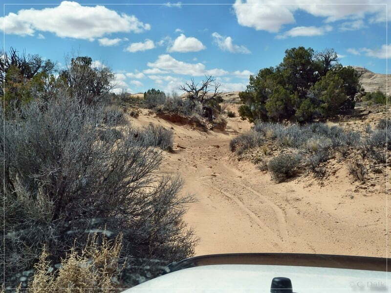
This part ot the trail seems to be seldom used::

After a short time, we are reaching a trail, which also comes down from Spring Canyon Point Road and which connects to ‘The Very End‘. We went into a small spur to the right and stopped to do our hike up to the slickrock domes at the Rock Canyon Rim
From here also good views are possible.


Here should also be one more trail, the Mercat trail. We were hoping to spot this trail from this high position. It seems, that there is some trail part visible in the following picture:
But Mercat trail we have on our ‘to do’ list for one of our next visits here in this region. We are now heading back to Spring Canyon Point Road on the trail, coming from ‘The Very End ‘:

Being back on Spring Canyon Point Road we had some time left. So we went on Rainbow Terrace trail to go back to Moab via Blue Hills Road.
Most of the shown picture include the gps positions, where they were taken, in the exif data.
The trail was easy to moderate at tthe time, we drove it. After leaving Rock Canyon Point and going back to the oil well via the loop trail, navigation was not easy for some parts.
For a better orientation, one can downlload a gpx file of this trip:
Tracklog: Rock Canyon Point, Moab, UT (729 downloads )
And here is an overview of the area, we visited:

