As we had bad weather in the Swell this day, we moved to Moab, UT for some nice and scenic 4wheeling adventures. Our target was Hidden Canyon Overlook. From there we planned to go up to Bartlett Rim by using the ‘Rim Escape’ trail and visiting Bartlett Overlook. Rolf (Hatchcanyon) wrote a great trip report, where he and his wife made this trail with a unmodified Trailblazer. The ‘Bartlett Overlook’ trail difficulty is now increased from ‘moderate’ to ‘difficult’. Whether this is correct or not, has to be decided by anybody himself.
We came down US191 and went on Blue Hills Road at 12S 60969X 428942X (UTM/NAD27). We followed this road until a turnoff at 12S 60611X 428894X. We turned left and followed this trail.
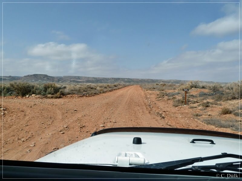
At 12S 60513X 428672X, we turned right towards Hidden Canyon:
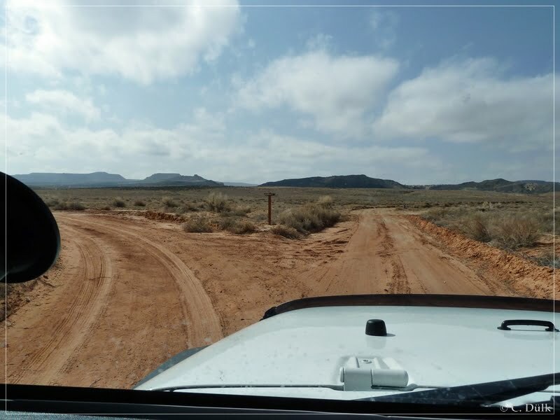
Shortly after this turn we are reaching the next turn off at 12S 60501X 428676X. Straight ahead is the trail to Hidden Canyon Overlook and to the left is a turn off of the 3D trail. This section of the 3D trail we wanted to see first. We went up a steep climb and reached a nice viewpoint. On the other side the trail to Hidden Canyon Overlook crosses a slickrock area:
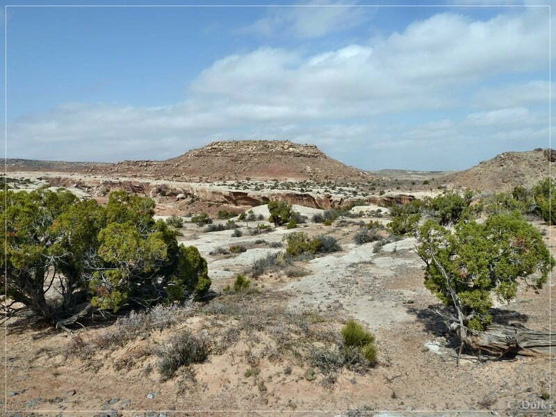
The trail continues here, but we wanted to go forward towards Hidden Canyon Overlook and turned around to go down the steep hill and to take the trail to the left. The following picture shows roughly the ongoing trail.
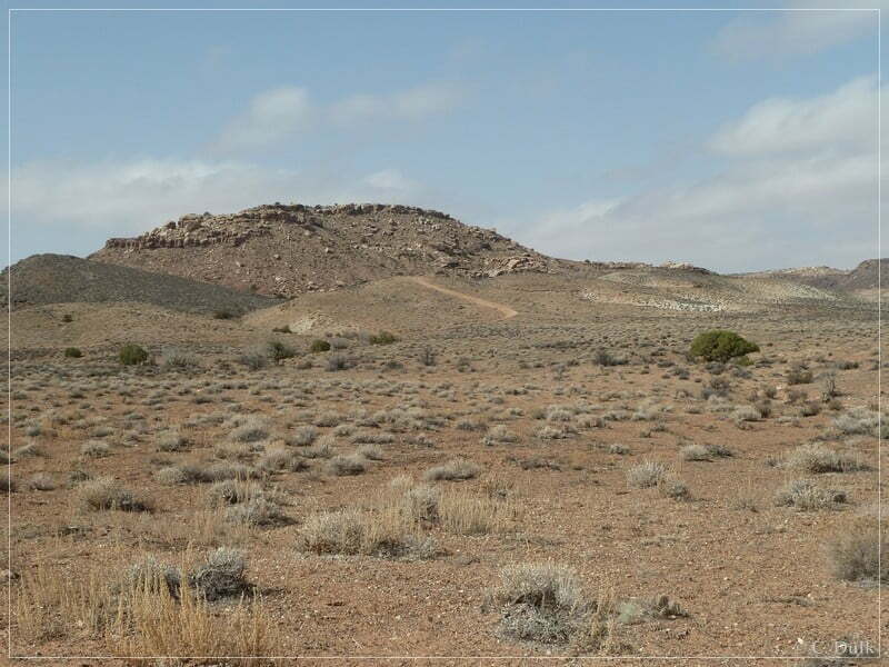
After passing a gate we are at the beginning of the slickrock area, we saw from the other viewpoint:
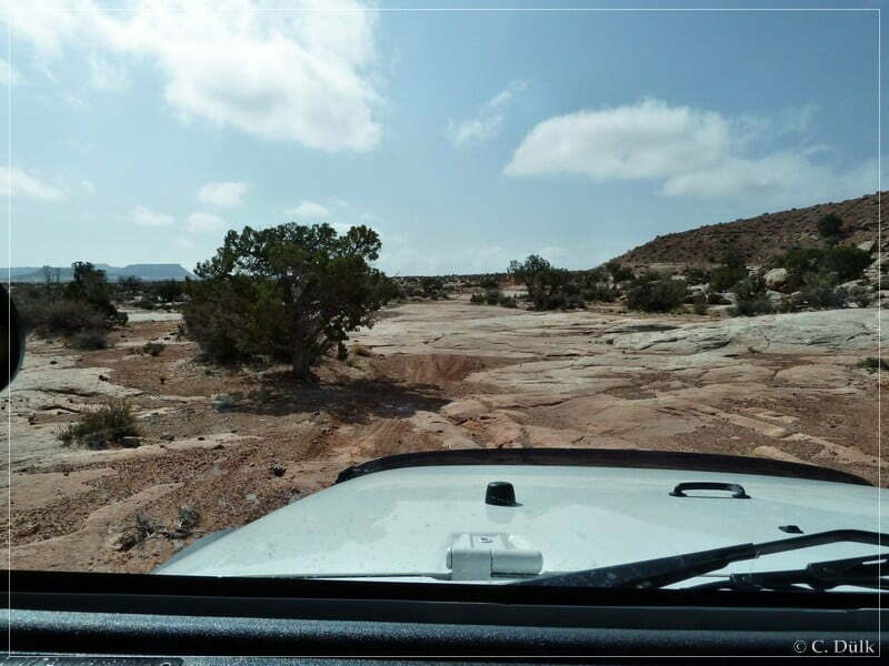
There were a lot of EJS markings on the slickrock, so that navigation was at that time pretty much easy.
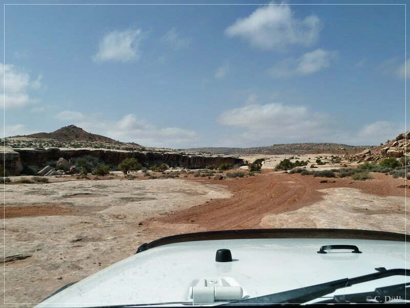
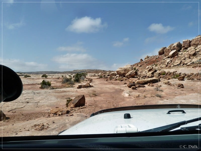
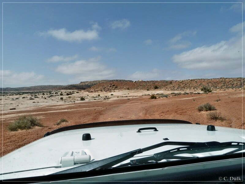
The trail continues on the slickrock ahead:
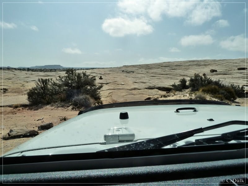
Here a view into the vicinity…
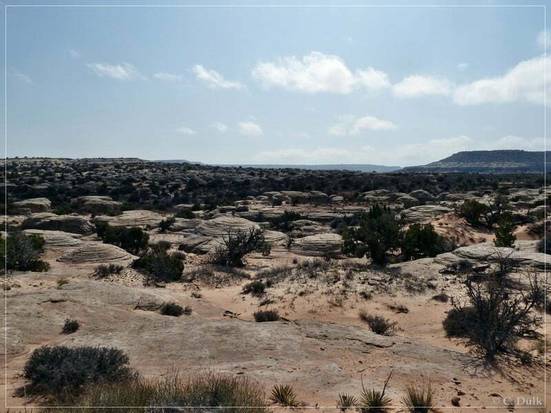
…before we continued:
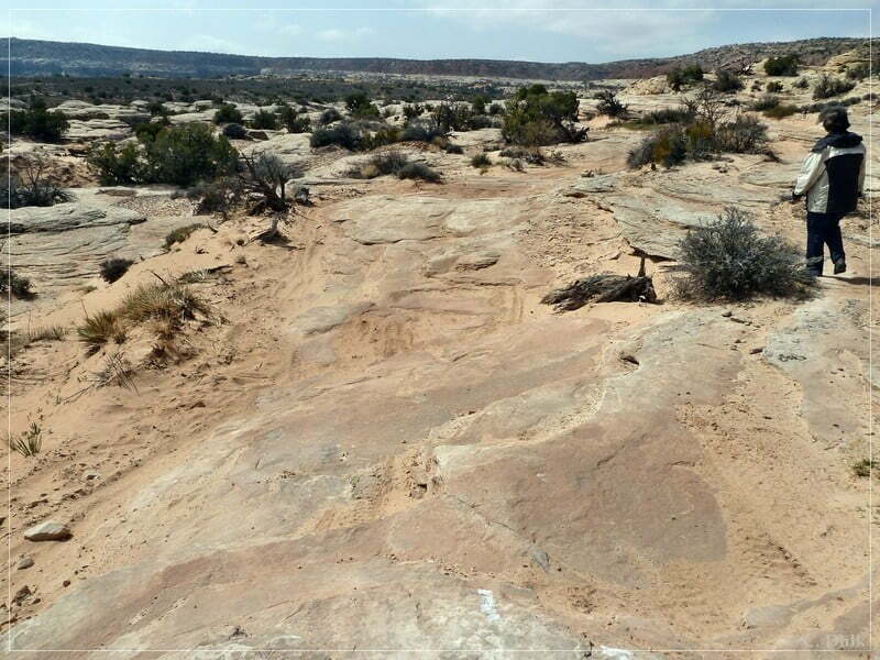
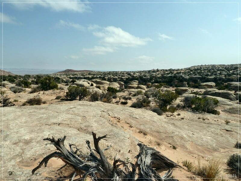
For my ‘spotter’ it got to boring, so she went out to walk ahead of me:
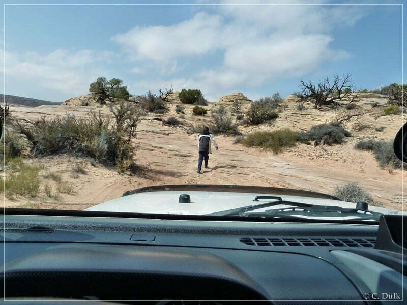
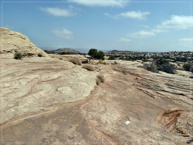
Soon we passed the slickrock area and the trail got easy::
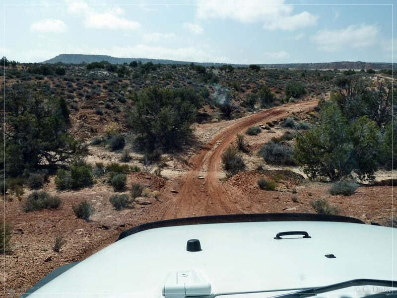
At 12S 60220X 428540X we are at the turn off to Hidden Canyon Overlook, which goes to the left. Shortly after choosing this trail we are able to enjoy great views:
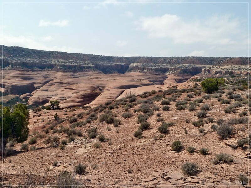
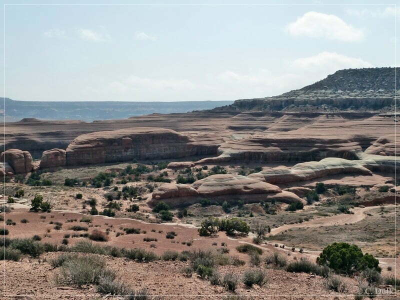
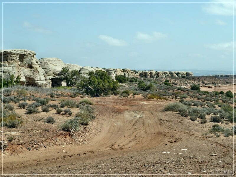
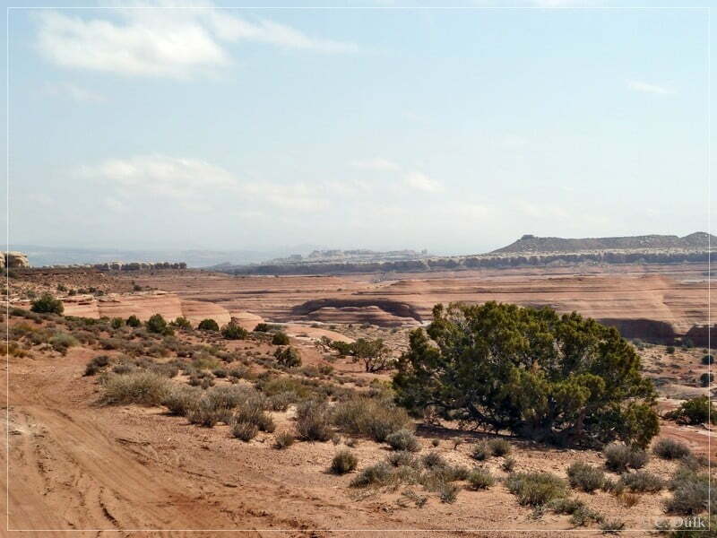
In front of us is Hidden Canyon Overlook:
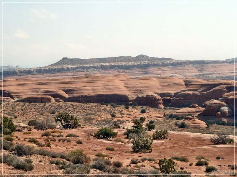
If one explores the vicinity, he may find a dinosaur track:
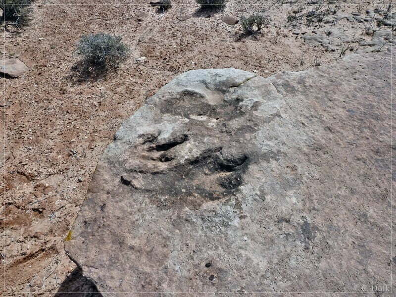
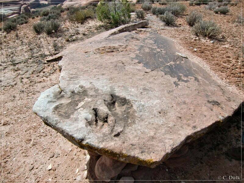
Then we went down to the parking area at the overlook. We made a lunch break and enjoyed the views:
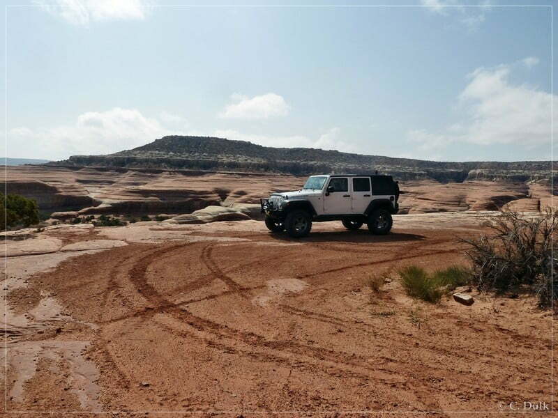
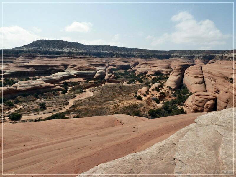
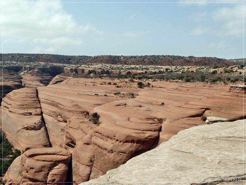
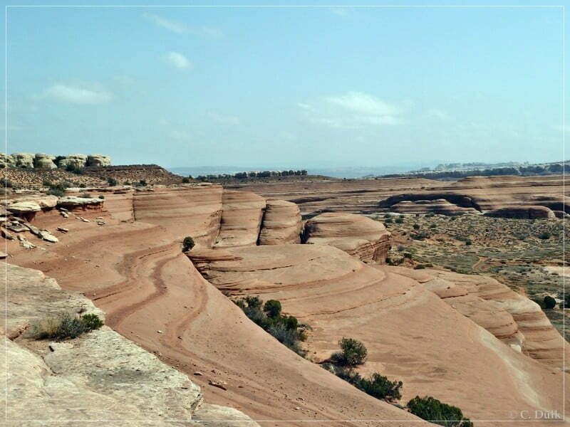
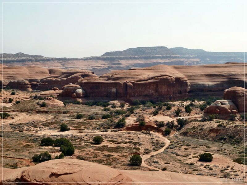
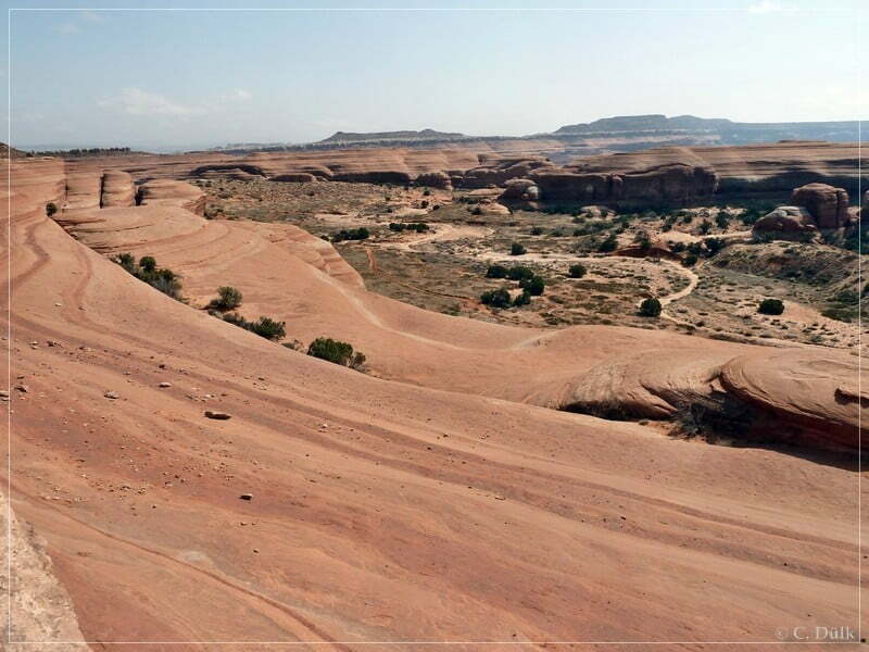
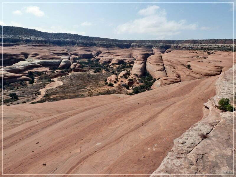
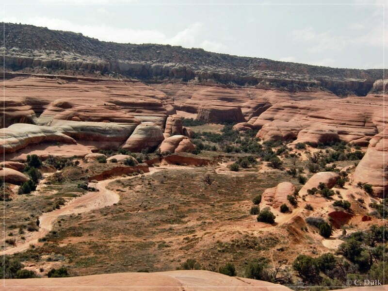
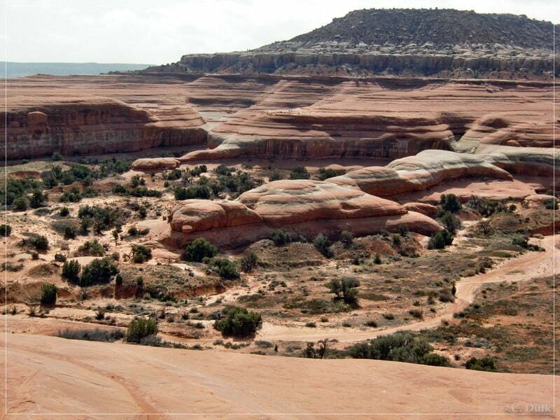
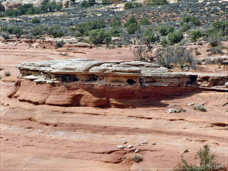
After some time we went back on the trail:
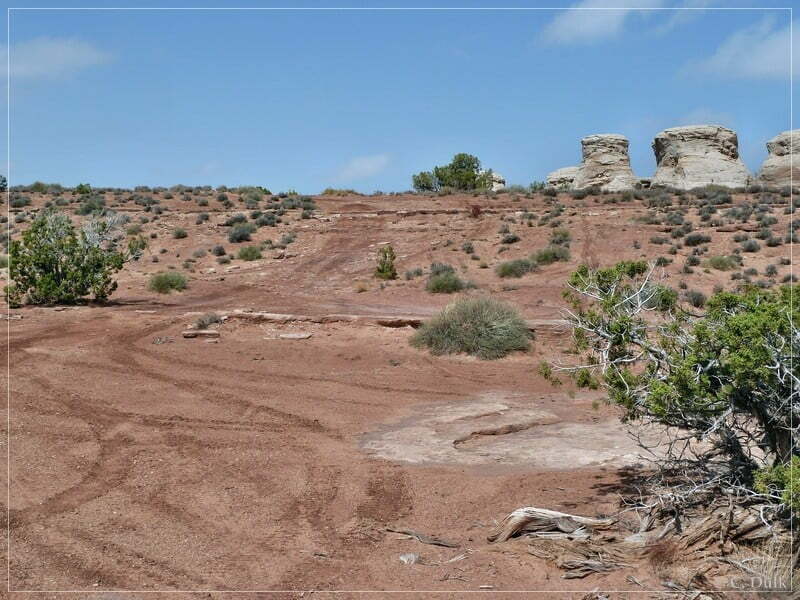
At 12S 60220X 428540X we met the turn off to the ‘Rim Escape’ trail (left turn). Straight the trail leads back to the slickrock area:
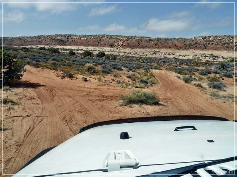
On a sandy trail we are coming closer to ‘Mean Hill’:
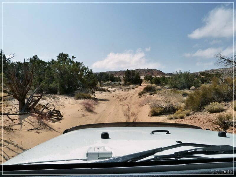
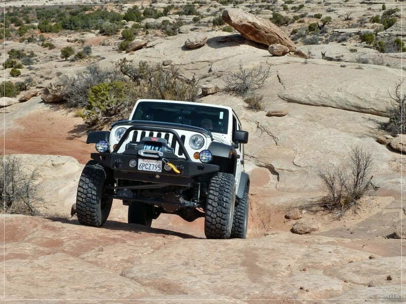
Soon we are at the first slickrock climb:
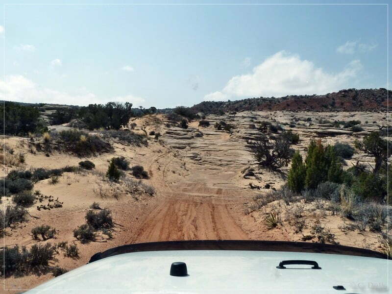
This is the way up to Bartlett Rim:
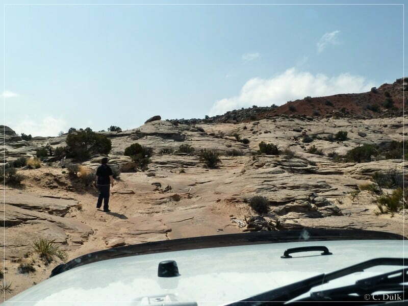
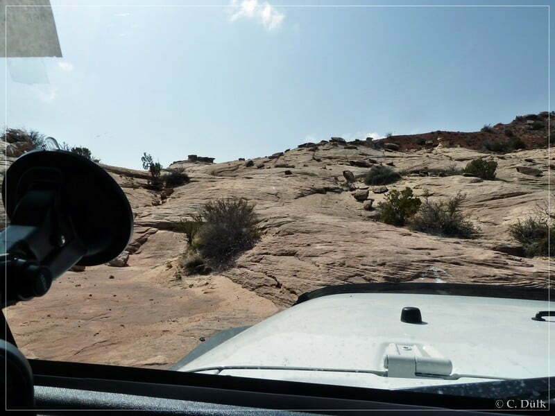
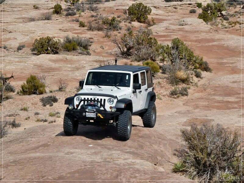
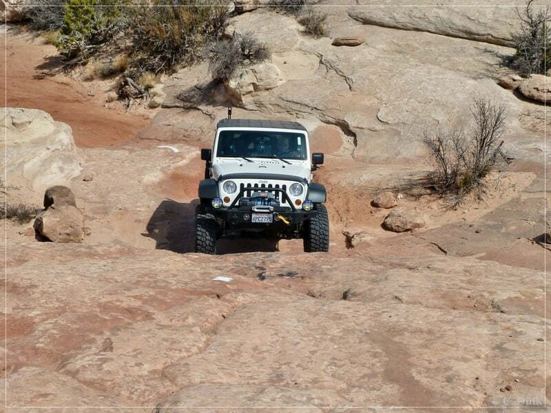
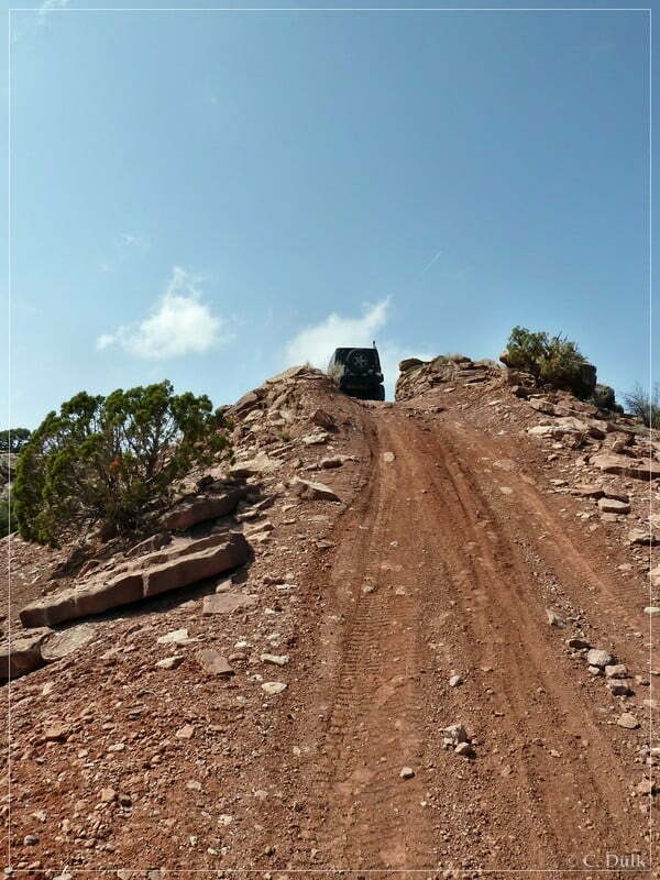
After this slickrock climb a steep dirt hill is following:
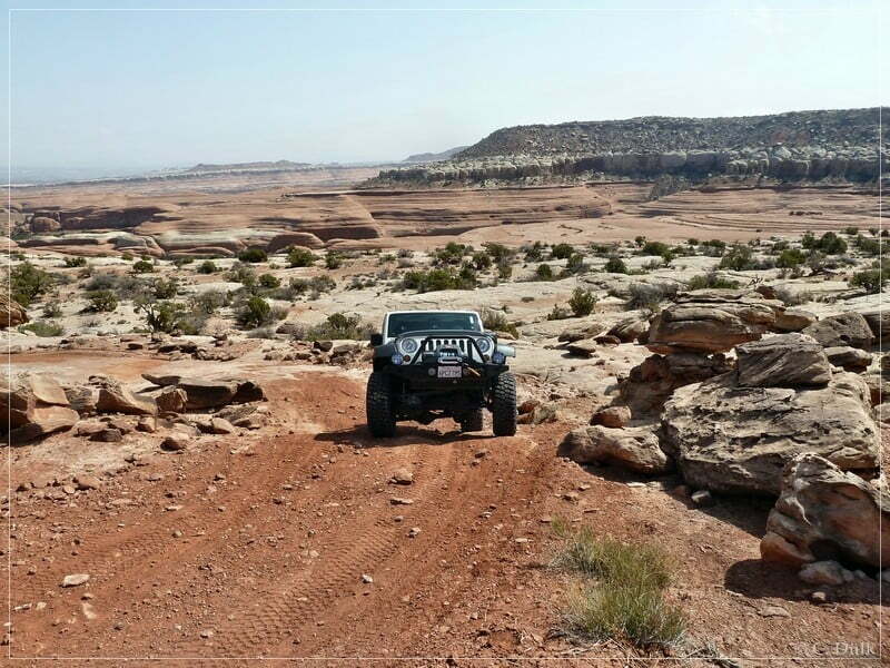
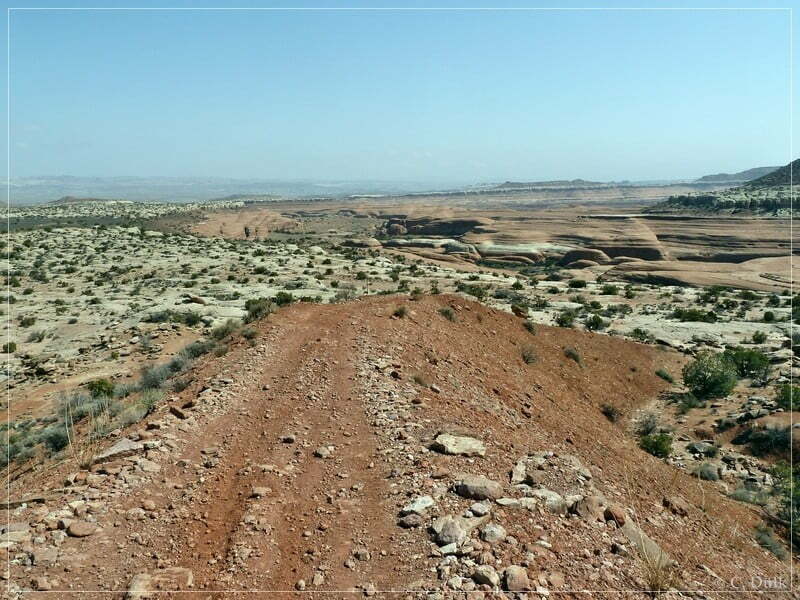
Here a view back:
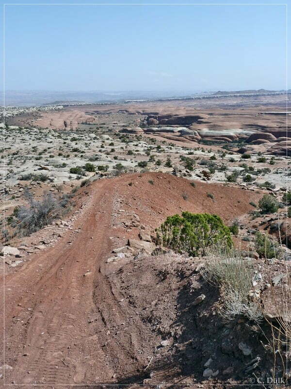
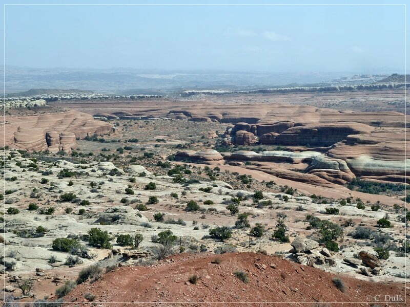
Soon we are on a rough trail in the ‘Bartlett Rim’ region:.
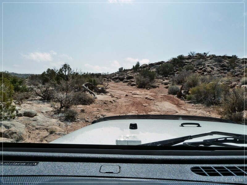
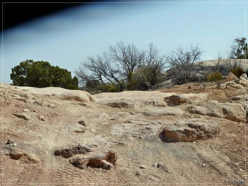
At 12S 60068X 428414X we are meeting a trail along Bartlett Rim. We turn to the left and follow this trail until we reach 12S 60156X 428351X. The trail to the left leads to Bartlett Overlook.
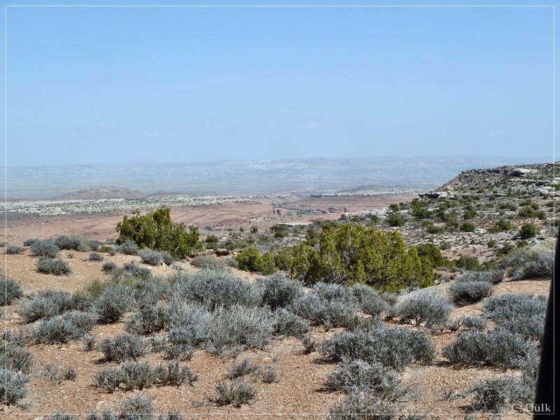
Bartlett Overlook allows gorgeous views into the vicinity:
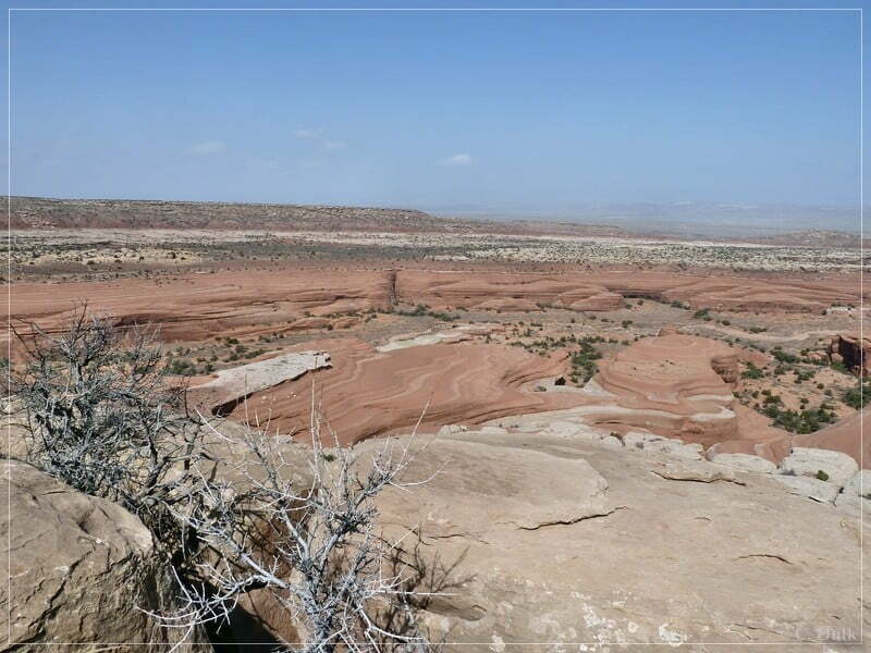
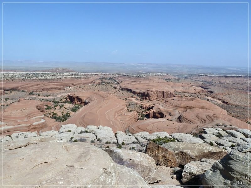
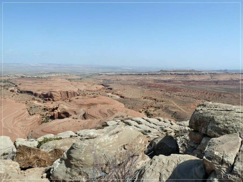
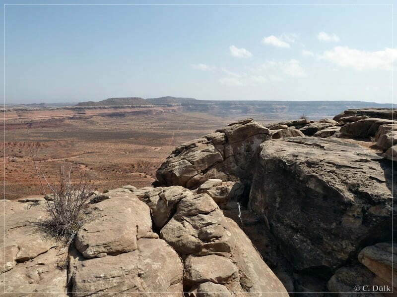
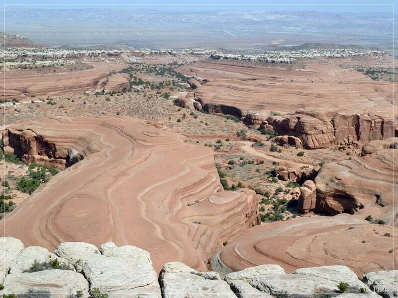
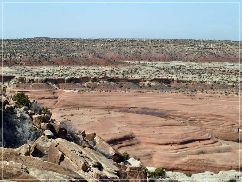
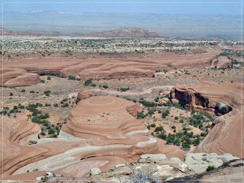
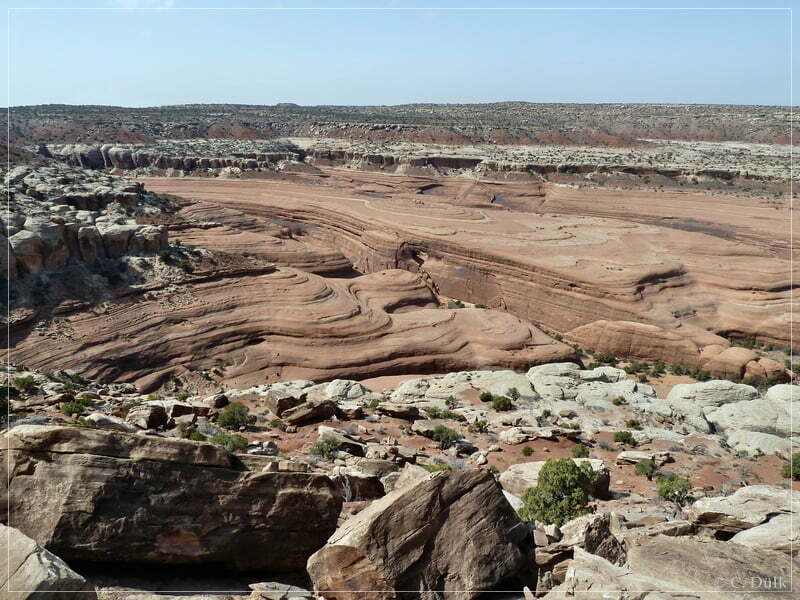
After some time we went back to the rim trail, where we turned to the left. On an easy trail we are continuing our ‘mission’…
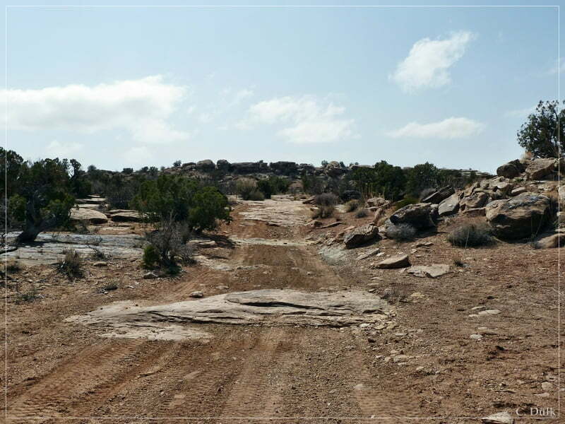
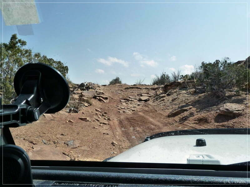
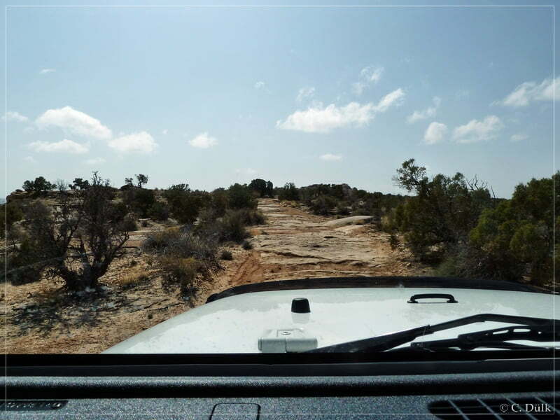
….before we reach the point, which gives ‘Bartlett-Overlook’ trail a ‘difficult’ rating:
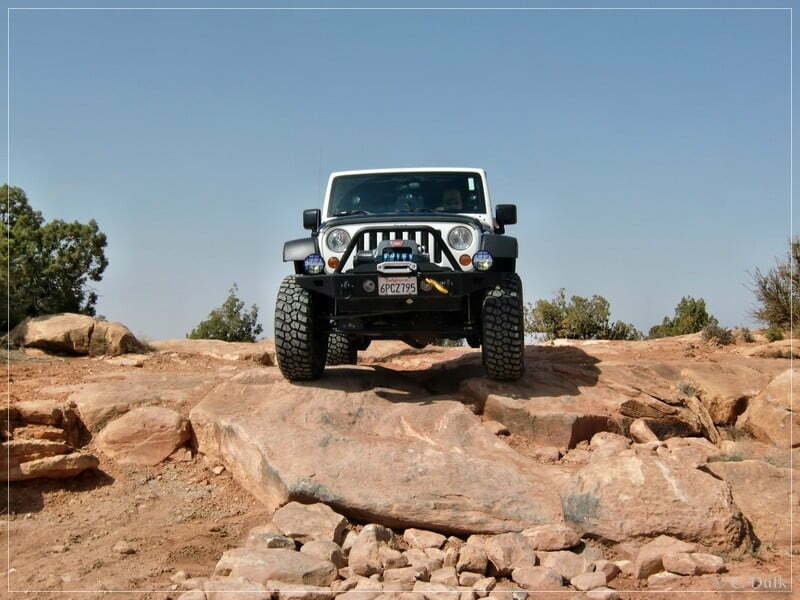
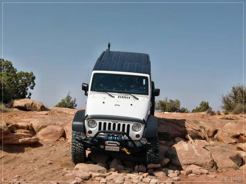
After passing this spot we are going back to Dubinky Well Road und US313 on a moderate trail. We had also the chance to see the Rainbow Rocks:
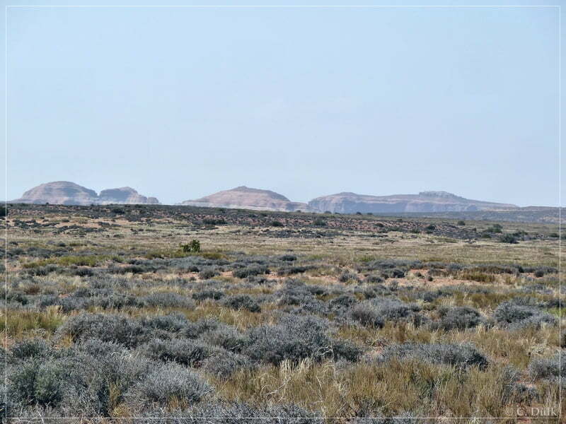
For a better orientation, most of the pictures include the gps positions, where they were taken, in the exif data.
For a better orientation, one can downlload a gpx file of this trip:
And here is an overview of the area, we visited:


