Until today we always visited the other side of Ten Mile Canyon to discover viewpoints like ‘The Very End‘ or ‘Rock Canyon Point‘. This time we wanted to visit the opposite side of this canyon. There should be an old trail, called Ten Mile Rim trail. The weather was perfect and the trail should lead to Ten Mile Point Road.
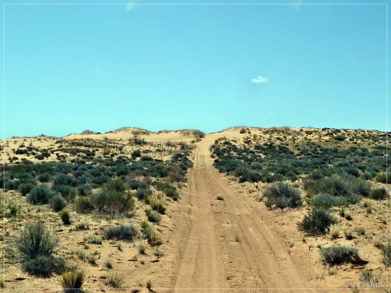
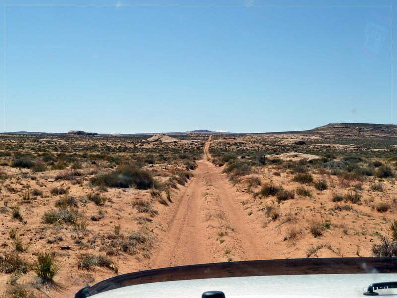
We are starting from Moab and drive on US191 to the north until we are reaching the turnoff onto Blue Hills Road at 12S 60969X 428942X (UTM/NAD27). Here we are turning left and follow Blue Hills Road. At 12S 60611X 428894X we are passing the fork, which leads to Hidden Canyon/Bartlett Wash.
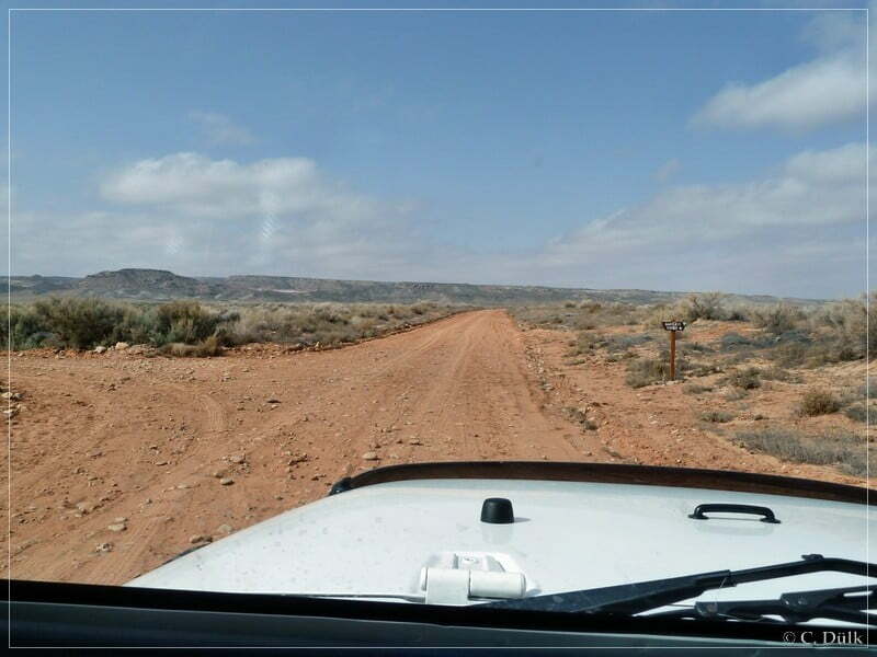
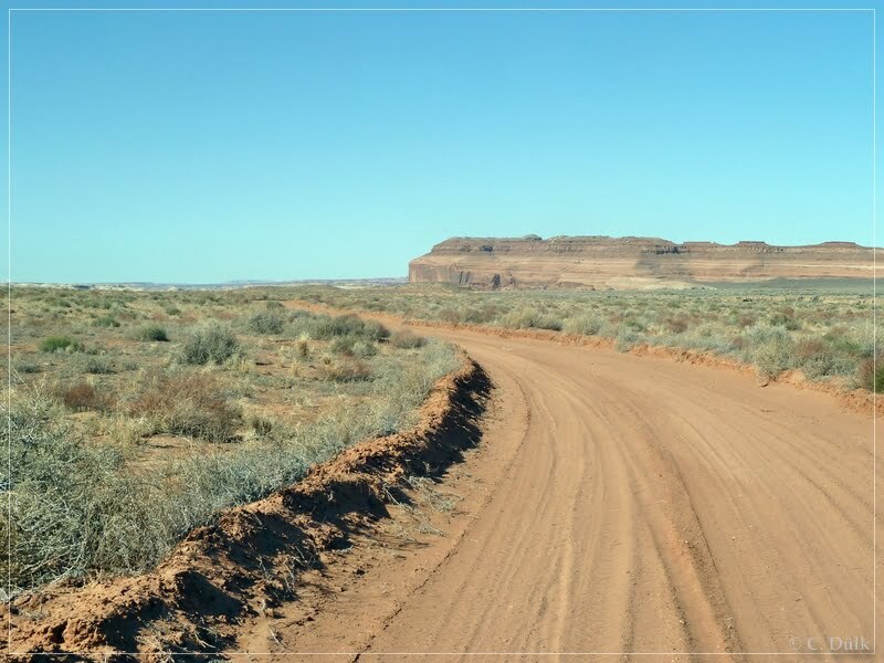
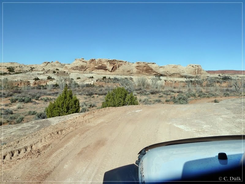
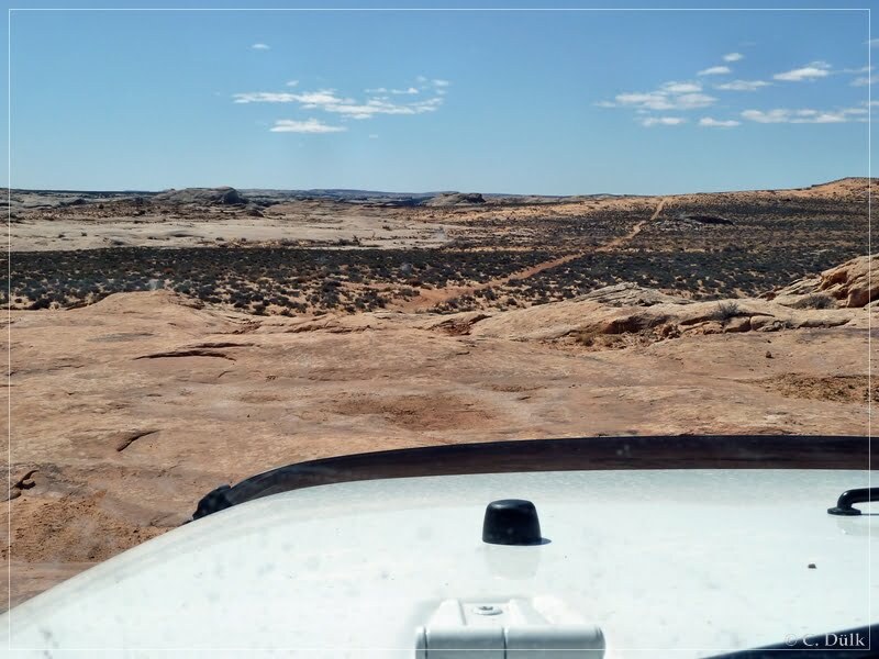
We are continuing straight at this point:
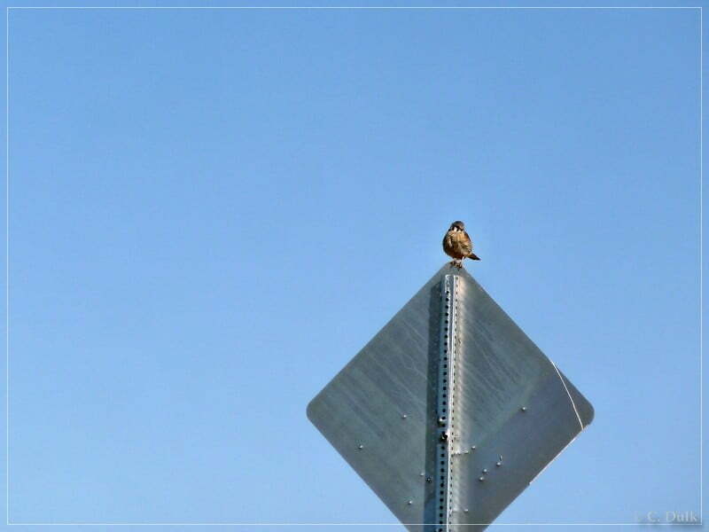
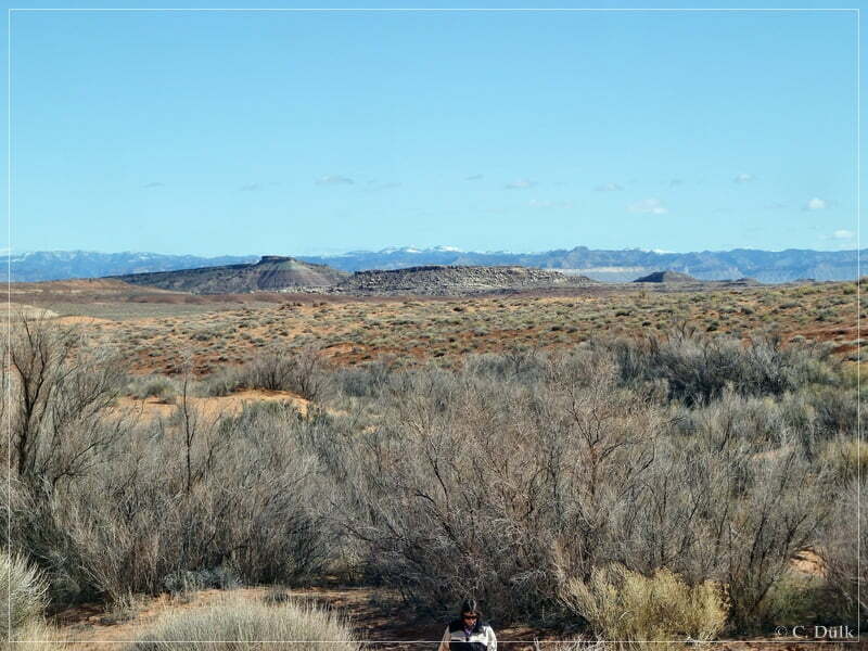
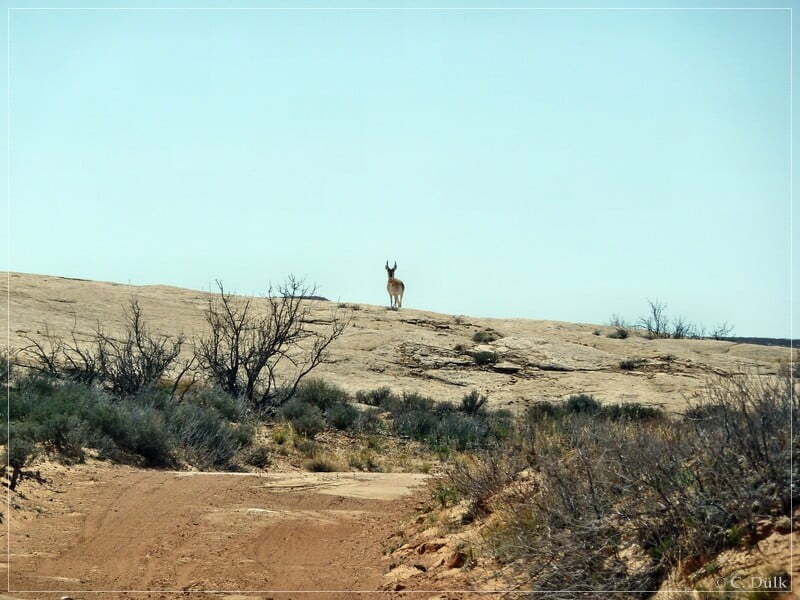
This nice guy was watching us::
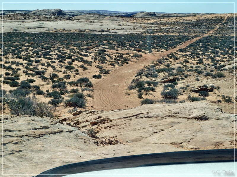
At 12S 59981X 429331X we are turning left and drive away from Blue Hills Road. This route we also have taken on our way back from Rainbow Terrace-Trail.
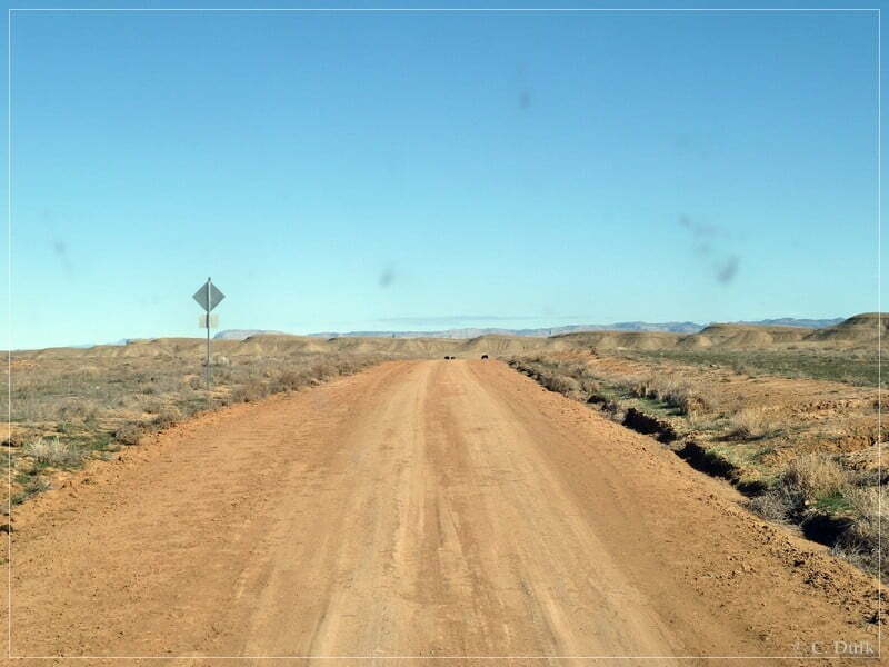
At 12S 59175X 428922X the trail, which goes straight, leads to Rainvow Terrace. We are continuing to the right…
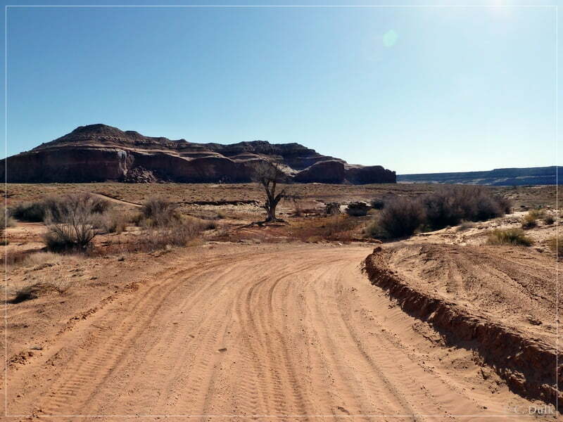
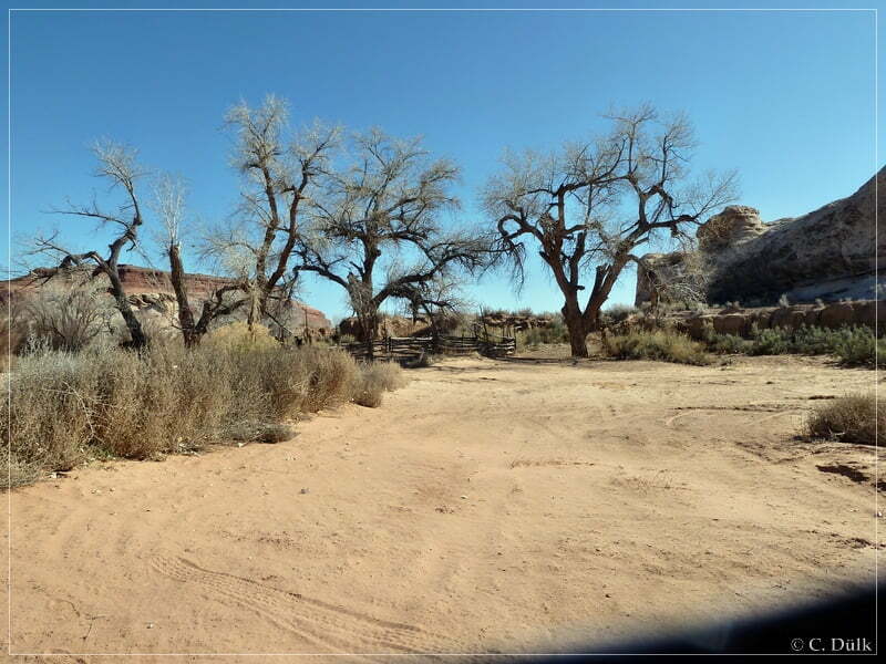
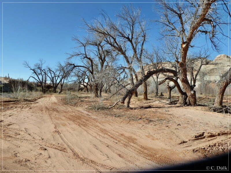
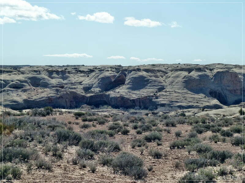
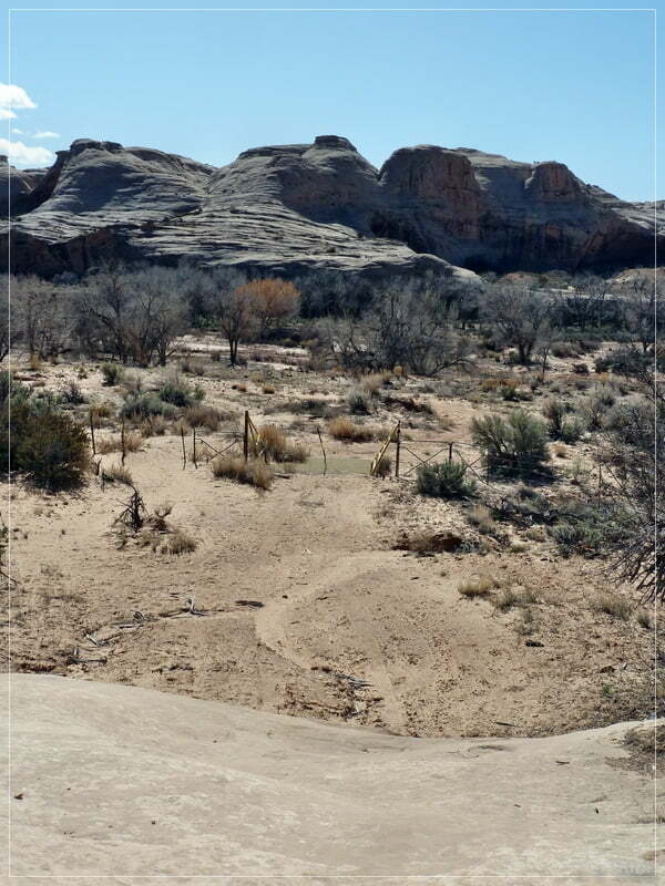
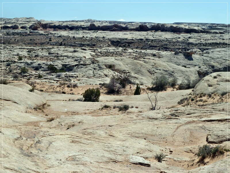
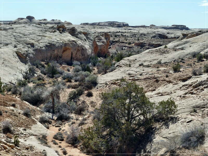
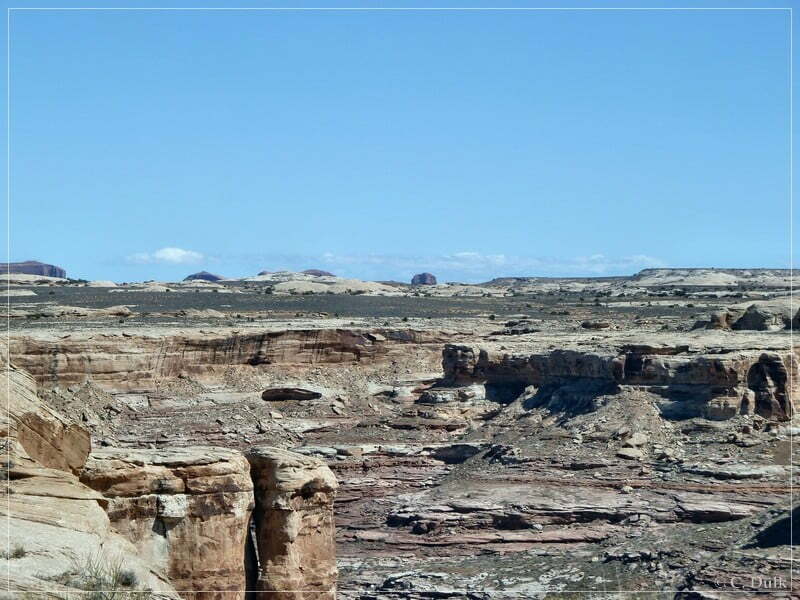
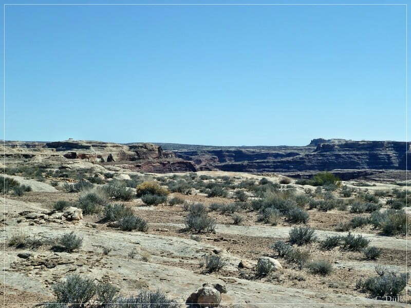
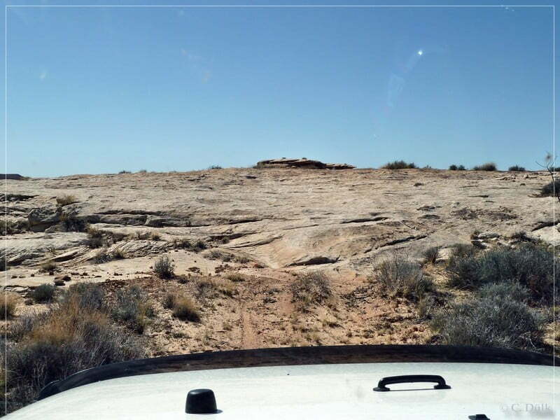
….and reach soon Ten Mile Canyon. An easy trail goes down to the canyon bottom and we are reaching Dripping Springs.
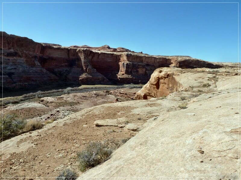
To the left the Ten Mile Canyon Trail starts and leads down to the Green River. This trail is rated as difficult (‘Boulder Choke’), even when this picture gives a different impression.
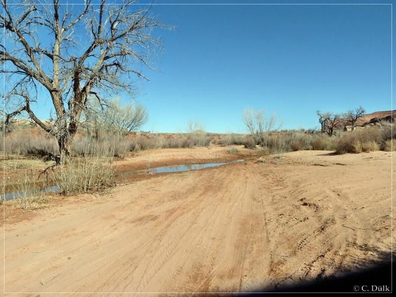
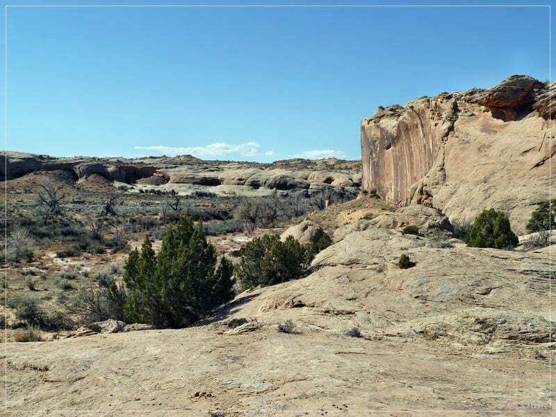
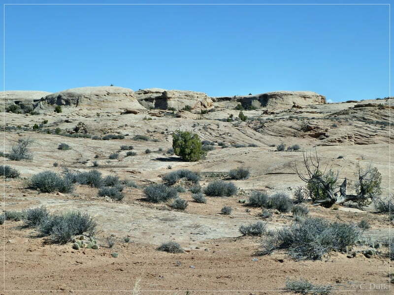
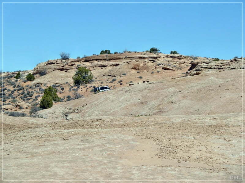
But we are crossing Ten Mile Canyon, to climb out on the opposite side:
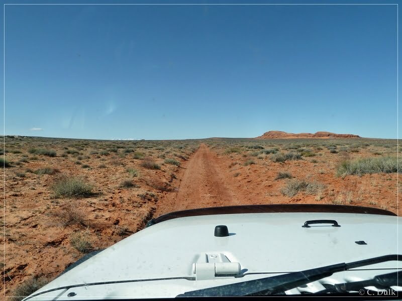
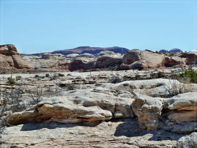
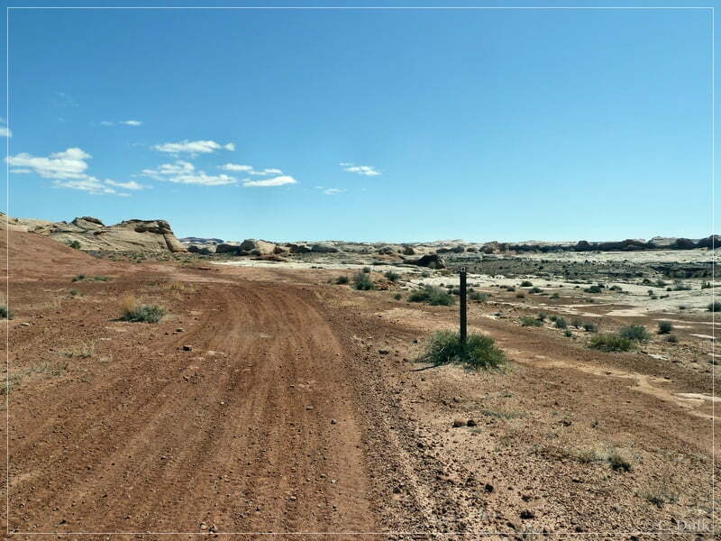
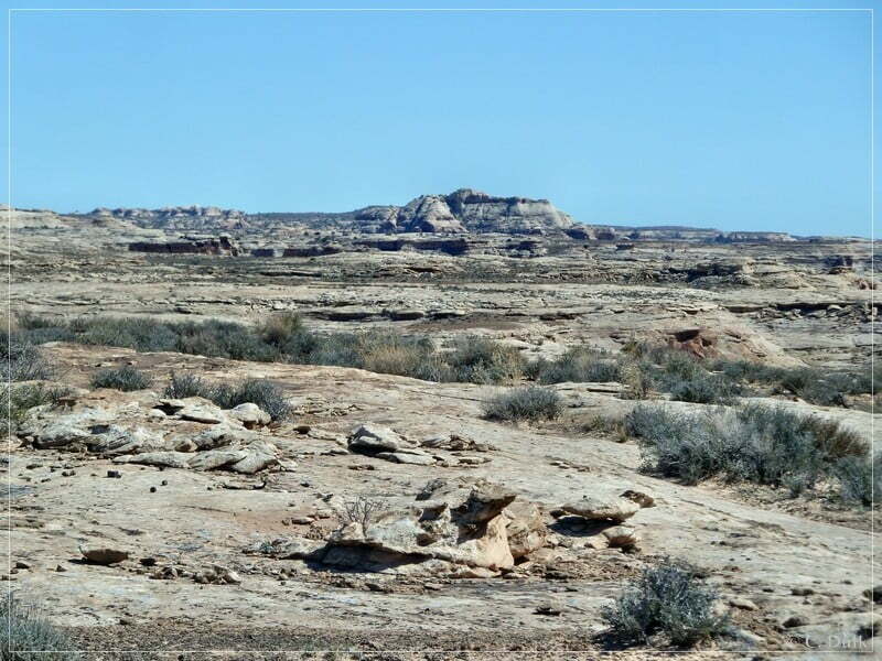
After leaving Ten Mile Canyon on the opposite side, there is a fork, which can be easily missed. The left trail is the start of the Ten Mile Rim Trail. This turnoff is at 12S 58914X 428968X. An easy trail runs now parallel to Ten Mile Canyon.
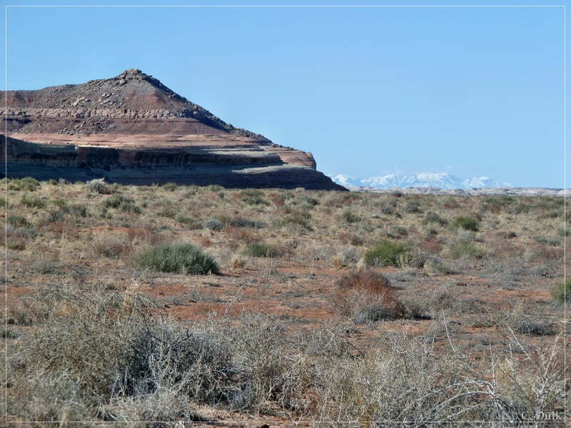
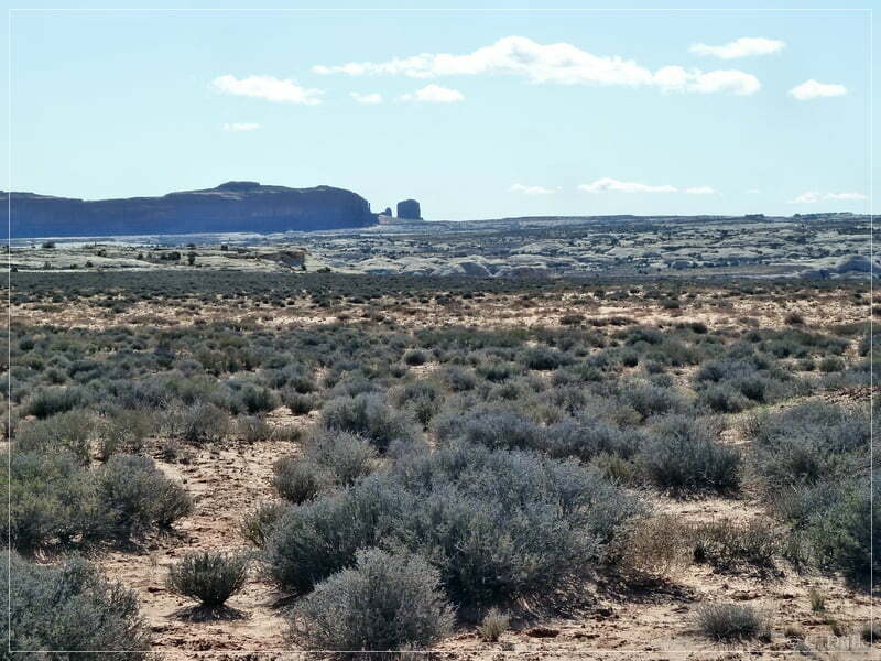
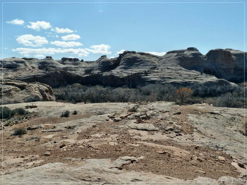
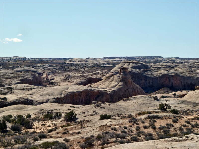
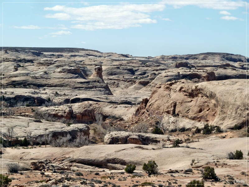
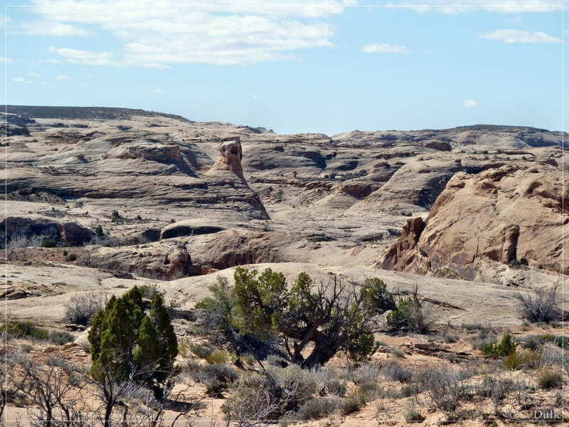
On the left side is Ten Mile Canyon….
….and Tombstone Butte (The Needles) is visible in the background.
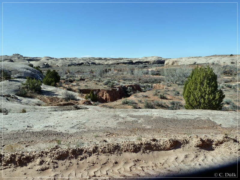
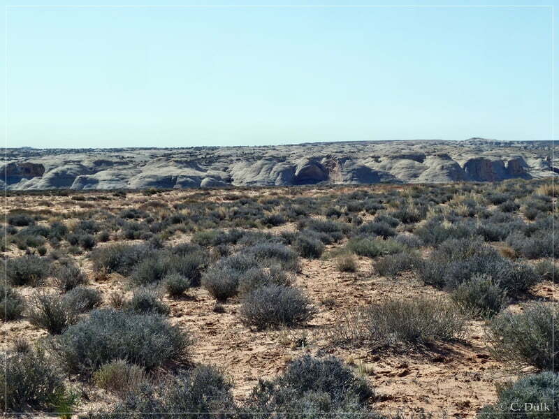
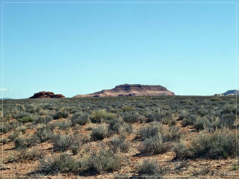
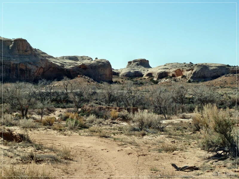
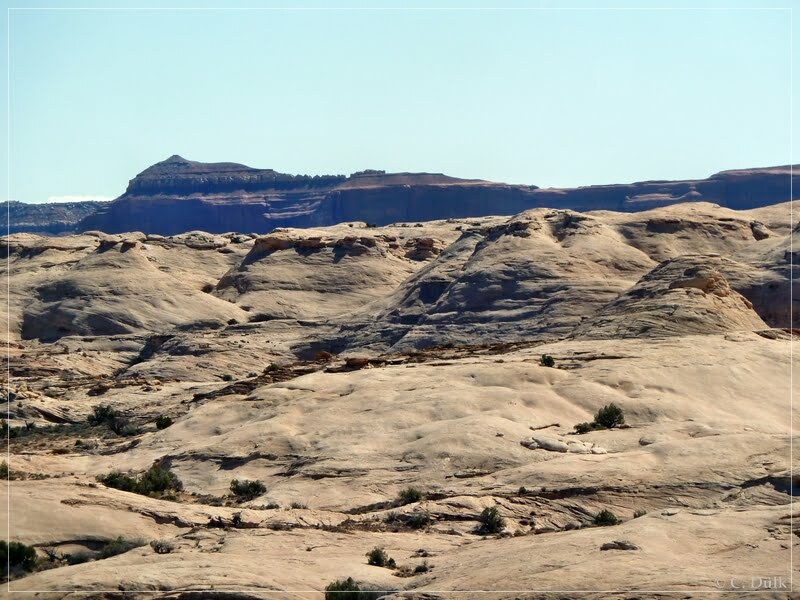
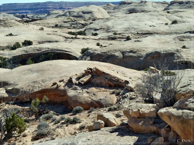
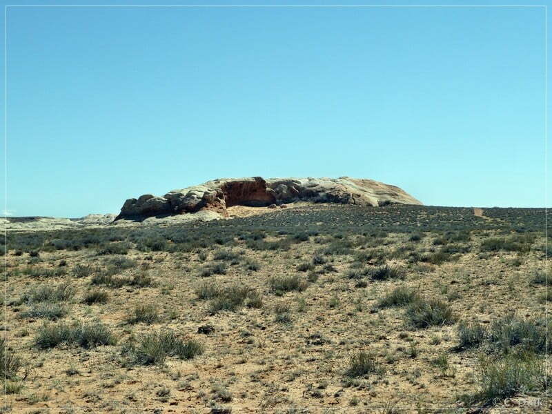
After passing the small hammock, which is visible on the following picture to the left, there should be a turnoff to the rim of Ten Mile Canyon:
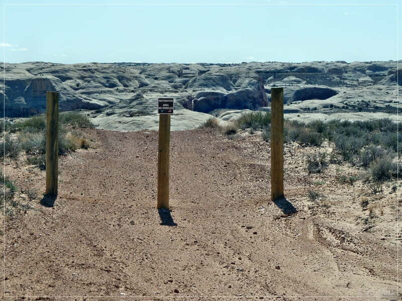
This turnoff, which leads to ‘Texas Bob Dugway’, is blocked and driving down to the rim is forbidden:
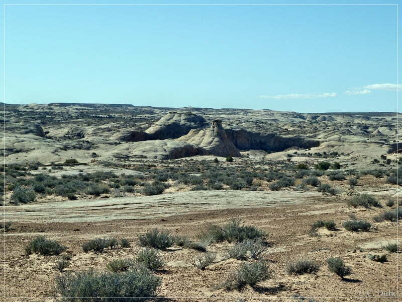
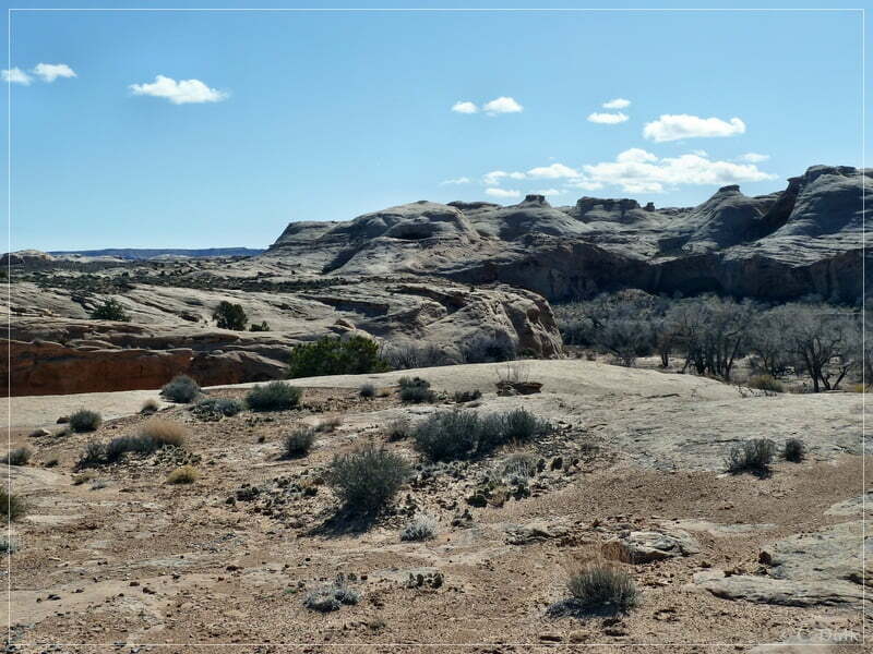
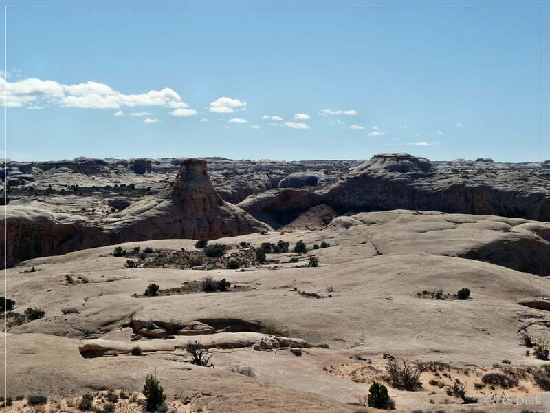
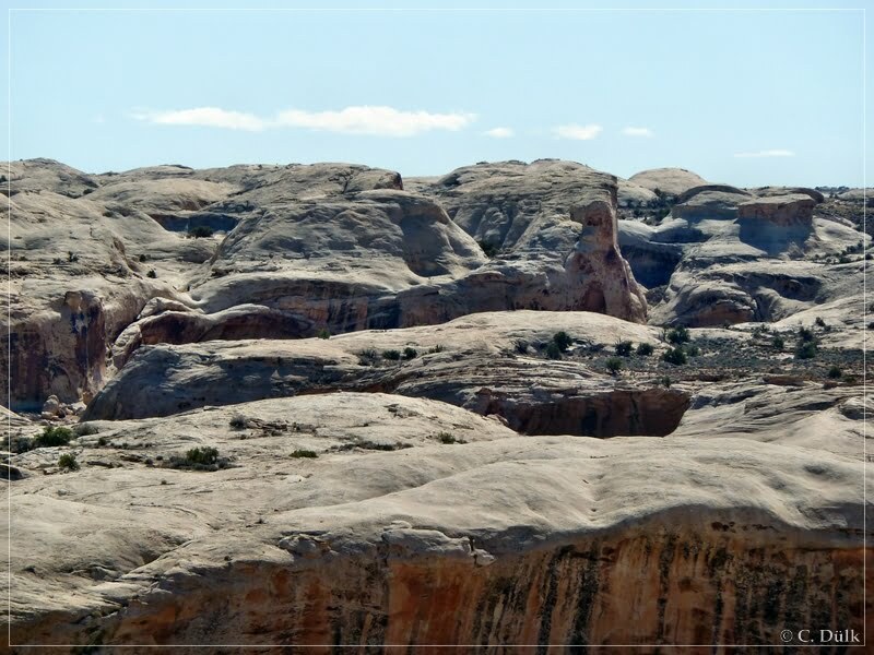
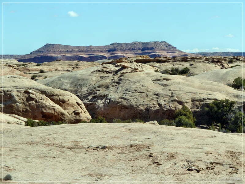
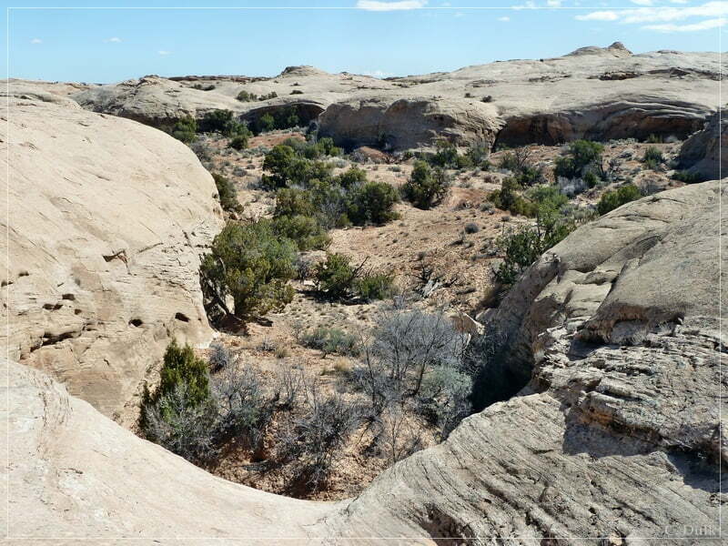
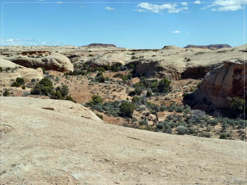
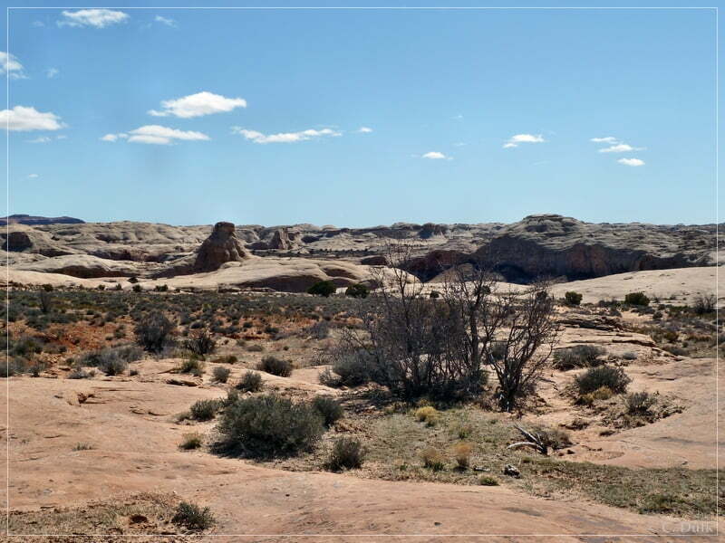
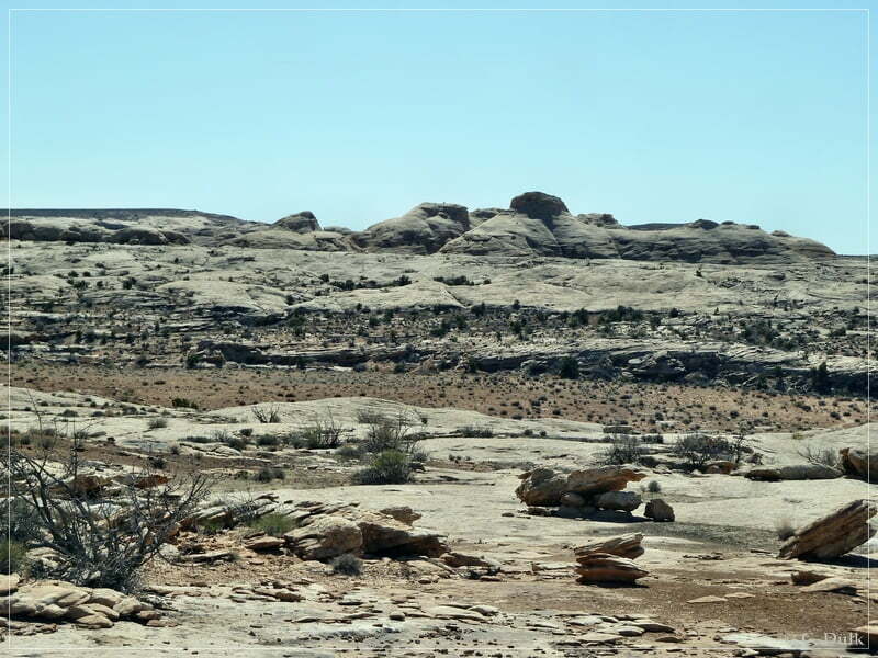
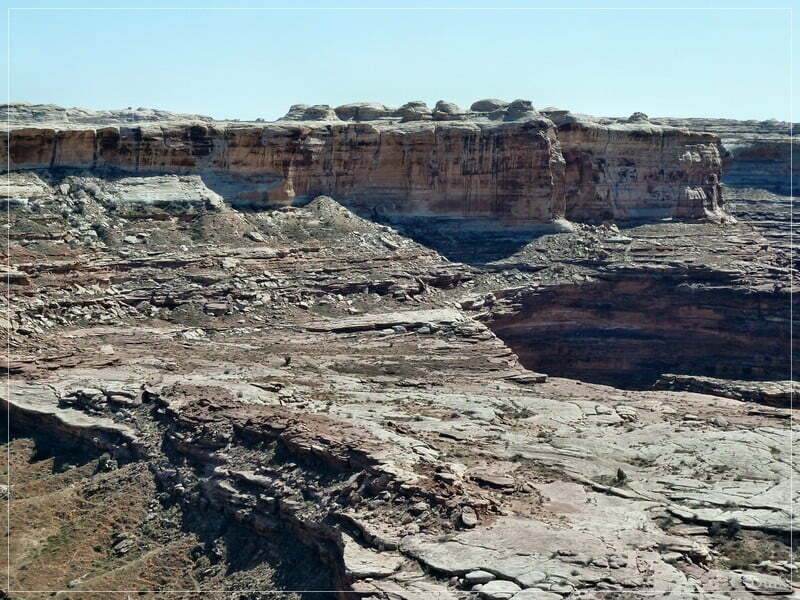
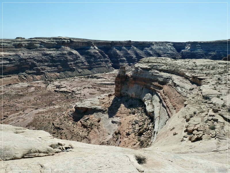
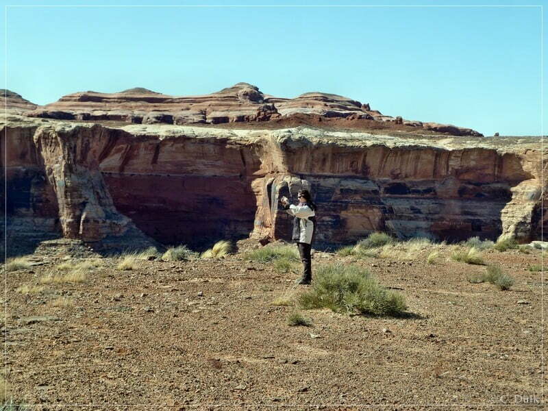
The trail itself is still there and one can easily walk down towards ‘Texas Bob Dugway’. From the top of the trail we had great views towards ‘Sea of Rock Domes’:
After a short hike we are arriving at the old parking area at the rim of Ten Mile Canyon:
We are now at ‘Texas Bobs Dugway’, a former vehicle access point to Ten Mile Canyon. It is blocked now.
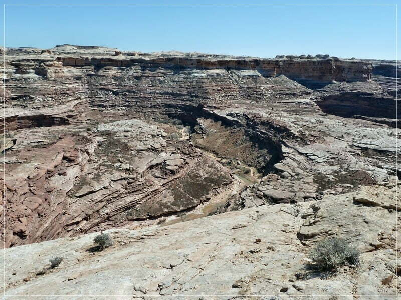
Here one can enjoy outstanding views:
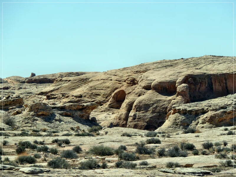
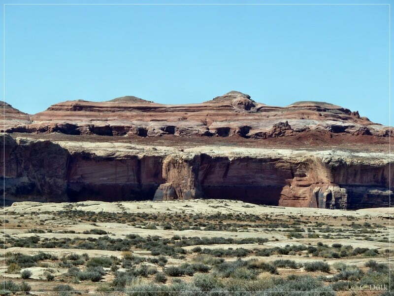
Here a view on ‘Texas Bob Dugway’ from the bottom of the canyon..
We are continuing on Ten Mile Rim Trail:
At 12S 58638X 428748X we are again reaching a turnoff towards the rim area:
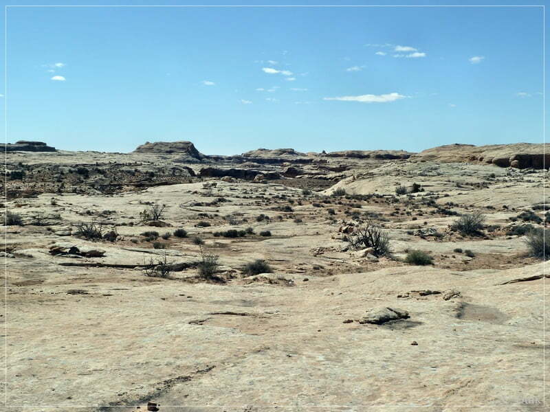
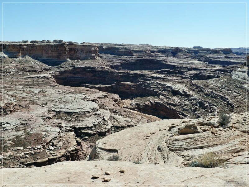
It is not necessary to drive down as the trail ends soon on the slickrock. An easy slickrock hike allows to discover the vicinity:
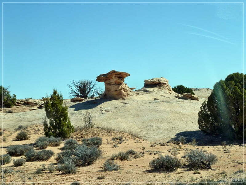
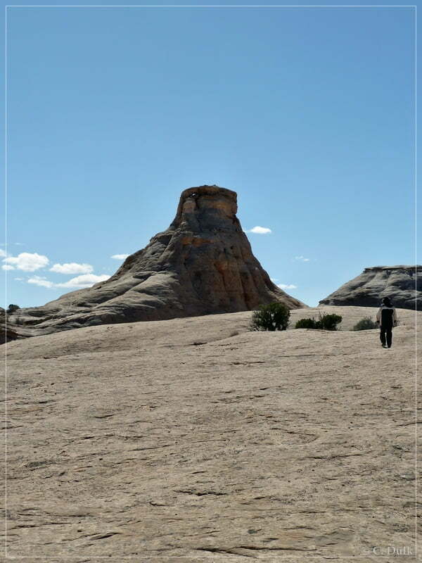
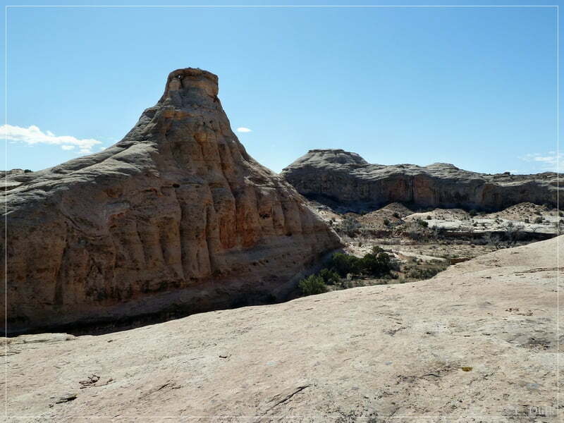
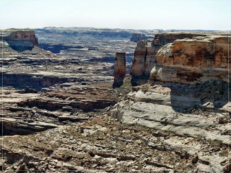
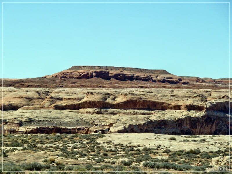
A popular landmark here is ‘Landmark Rock’ (‘Flat-Topped Cone’):
From here it is also easy to climb down into the canyon. But we had to go back on the rim trail. Here a view on the trail, which climbs up from the slickrock patch to the rim trail:
At the top is a small ledge, which is easy to climb:
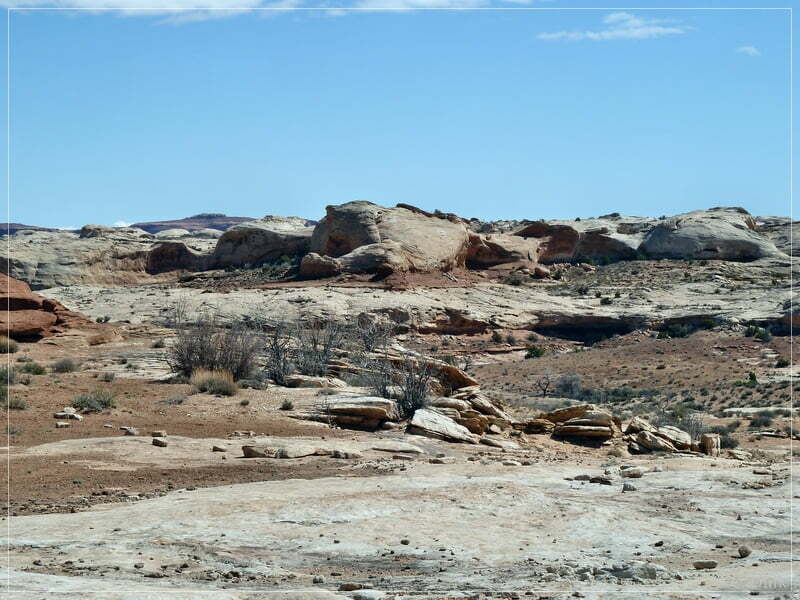
Back on the rim trail we are continuing to the west:
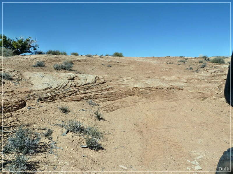
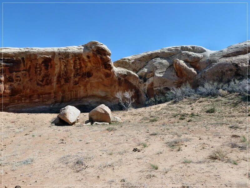
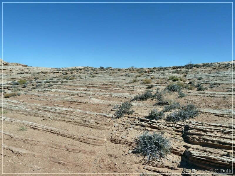
A few sections of slickrock have to be crossed:
At 12S 58587X 428740X we are arriving at the turnoff to ‘Midway Access’. Midway Access is a entry/exit trail to Ten Mile Canyon bottom. Here the trail is getting a bit rougher.
As we did not want to go all the way down into the canyon, we had a lunch break here and walked around a little bit.
Here a picture of the ongoing trail down into the canyon….
…and a few impressions from the vicinity….
….before we headed back to the rim trail:
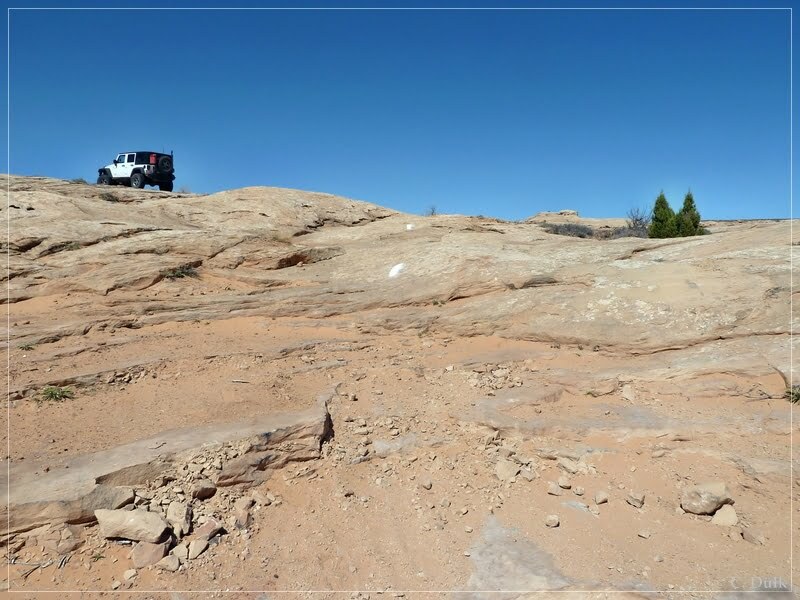
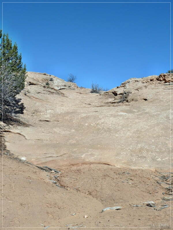
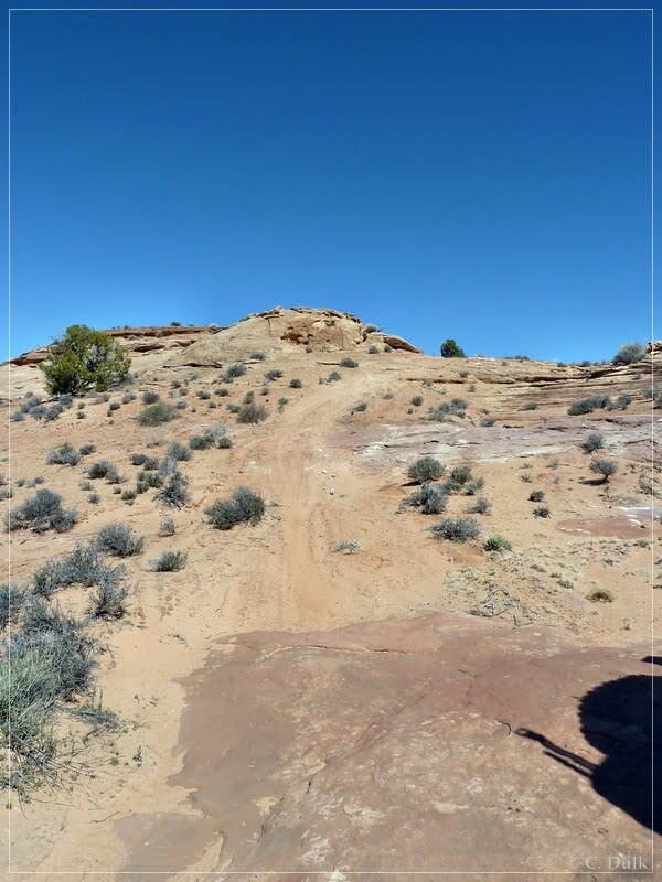
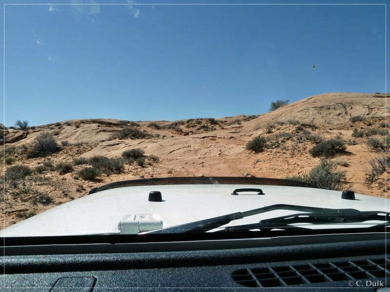
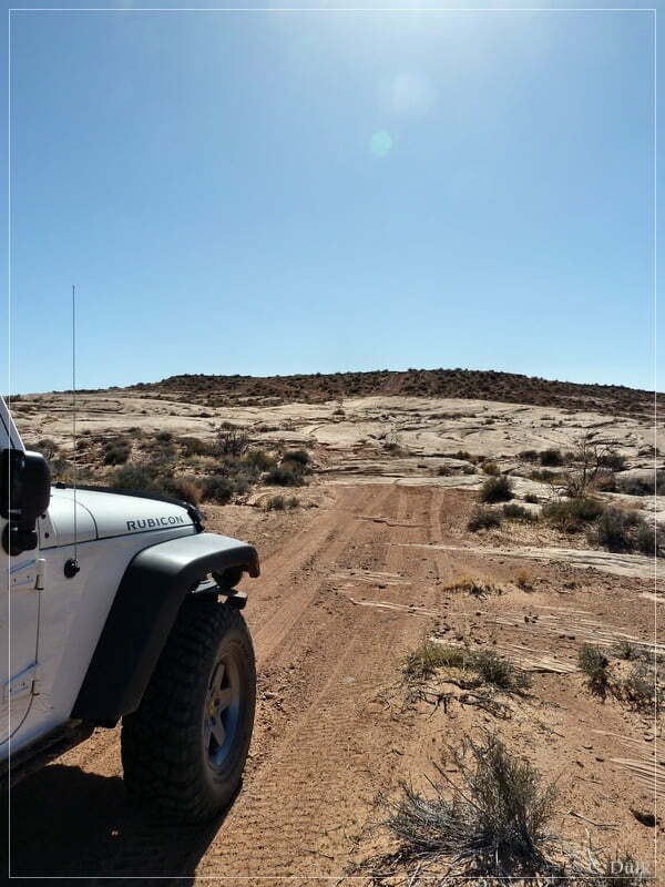
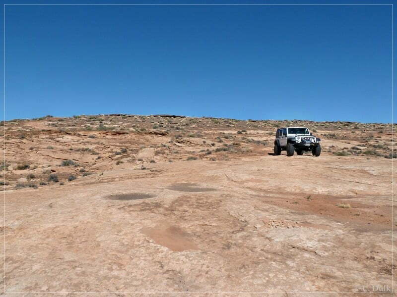
Back on the main trail we faced a sandy hilll, we had to climb up. One should have enough speed to go up there:
After the sandy hill a slickrock ledge has to be crossed:
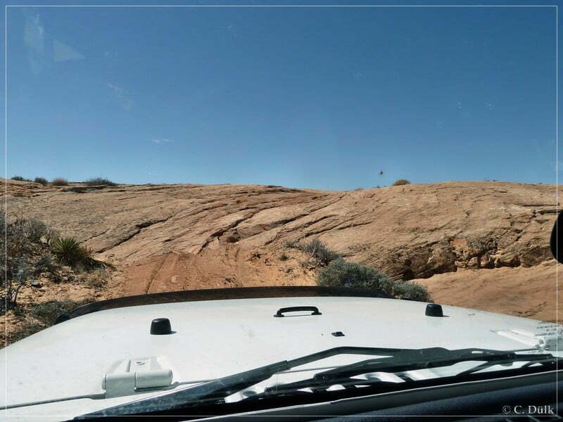
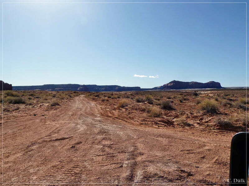
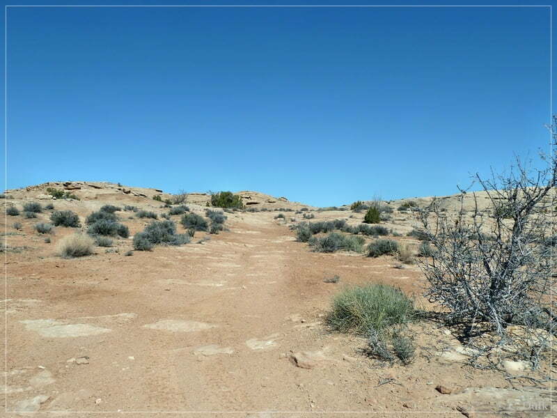
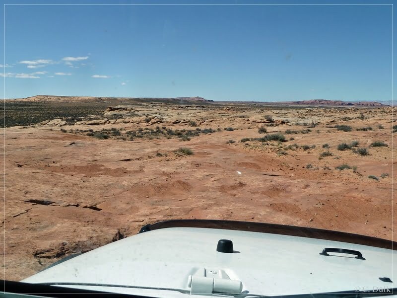
Then we are continuiung on an easy trail to Ten Mile Point Road.
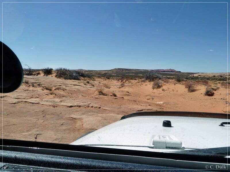
On Ten Mile Point Road we proceeded towards Ten Mile Point:
At 12S 581238 4283370 is a trail to the left, which is supposed to lead to a naural arch (according to the USGS maps) and to an overview over Ten Mile Canyon. The arch should be somewhere at that rocky outcropping, visible on the following picture:
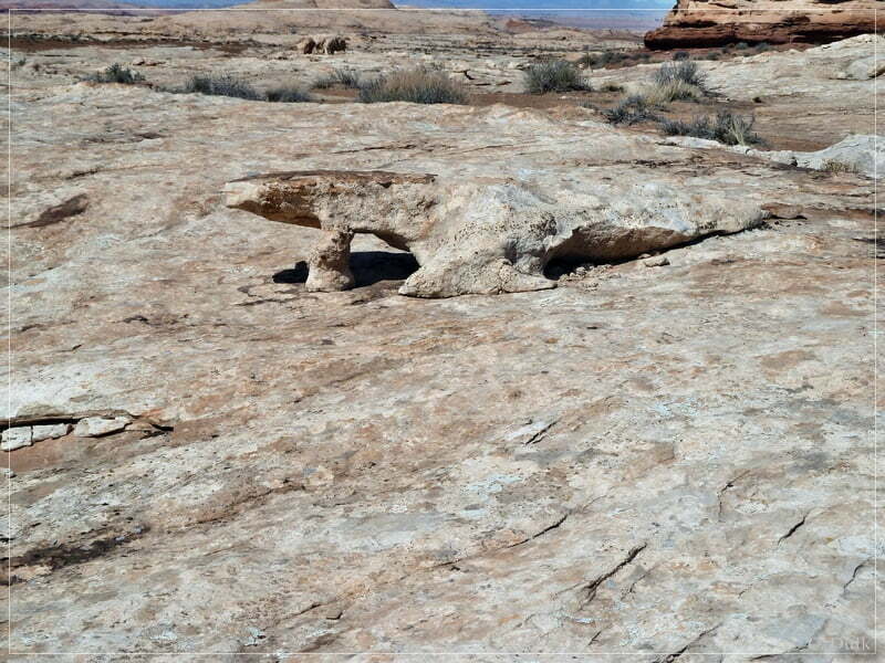
We were not able to spot the arch there and assume, that this are the ‘leftovers’ of this arch:
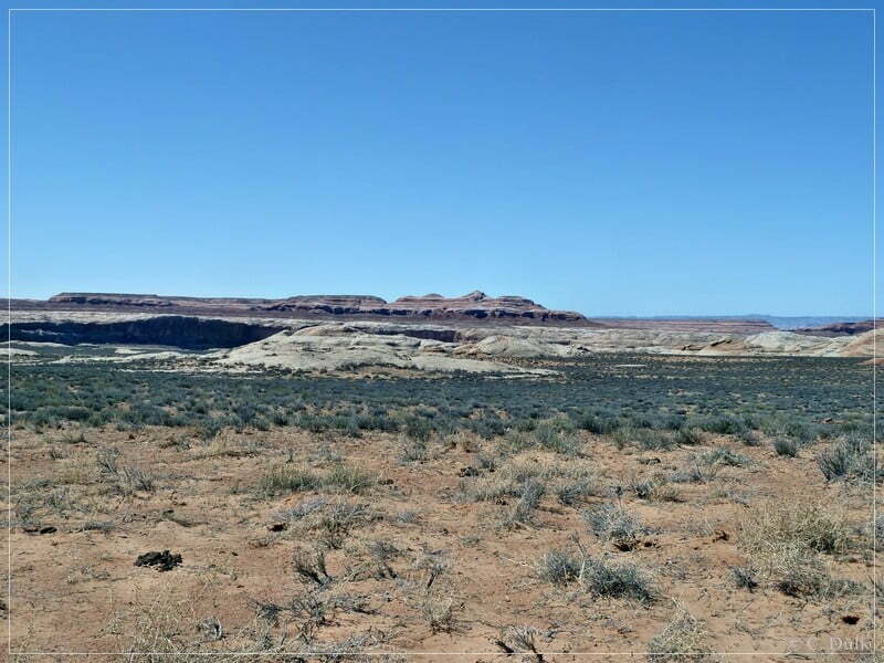
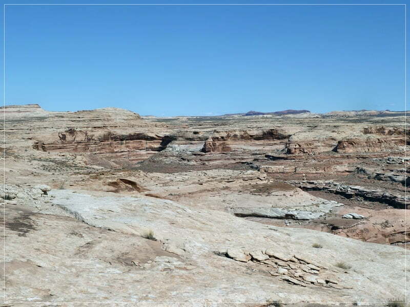
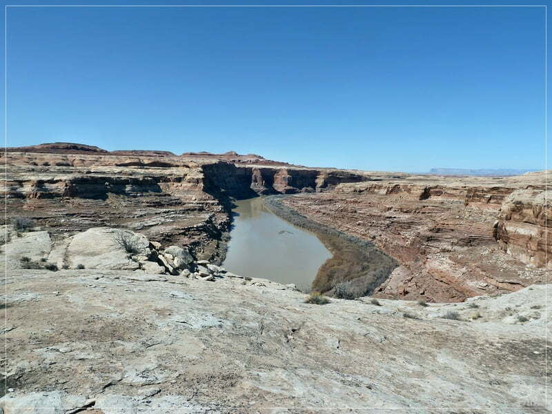
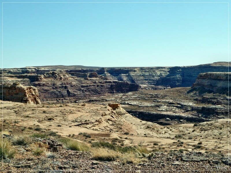
We are continuing on this trail until we reach the overlook at Ten Mile Canyon rim:
A small arch can also be found:
Then we are going back to Ten Mile Point Road:
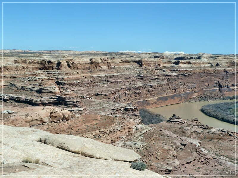
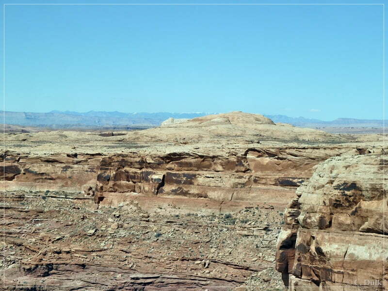
Back on the main trail we are turning to the left towards Ten Mile Point. At 12S 58036X 428253X the trail splits and the left fork leads to Ten Mile Point. The right fork we will visit later. We are passing a ‘drill hole’ and continue to the left. The right trail here is pretty rough and leads to the rim above the Green River.
We are coming closer to the rim:
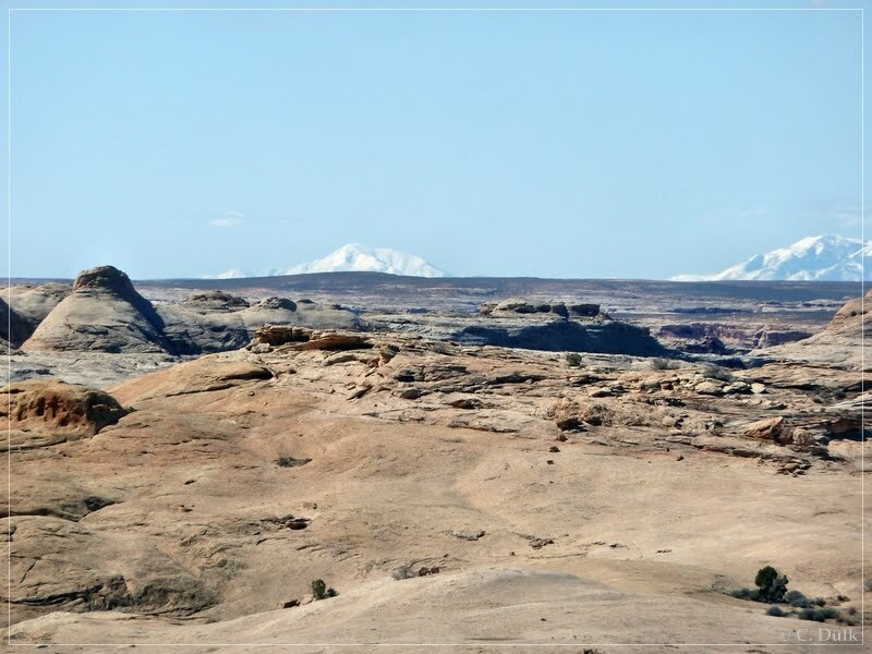
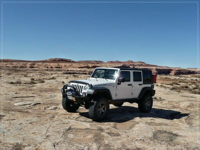
Soon we are reaching our parking spot on slickrock to enjoy the surrounding:
Then we are going back on a rocky trail:
At the fork at 12S 580361 4282536 we are now driving to the left. In front of us we see, how the trail proceeds. We have to go up this hill (and down on the opposite side):
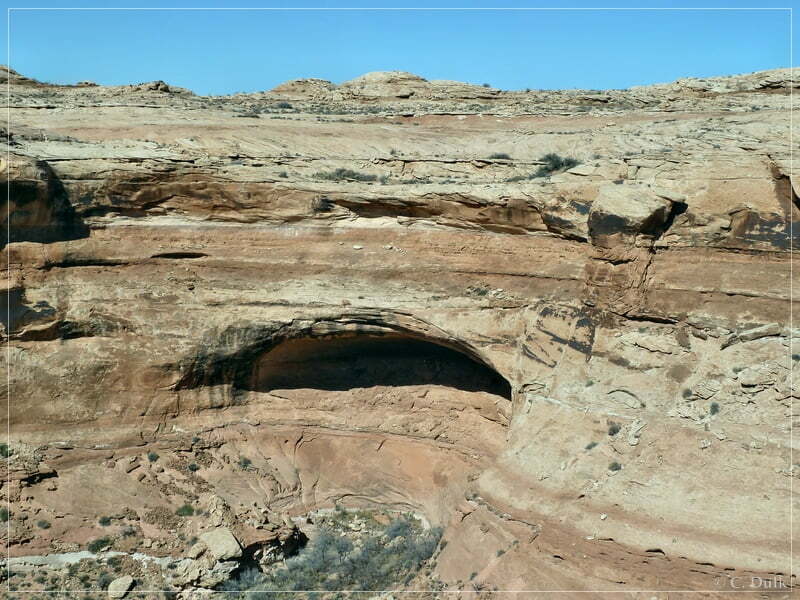
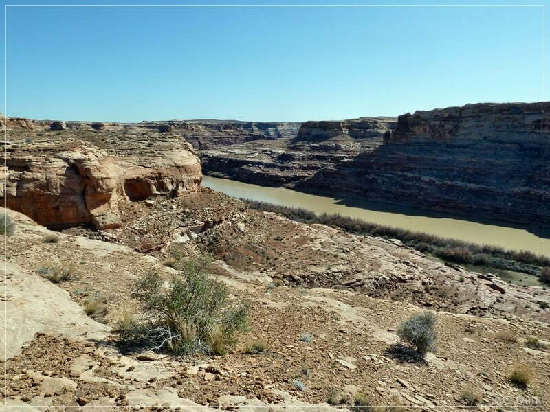
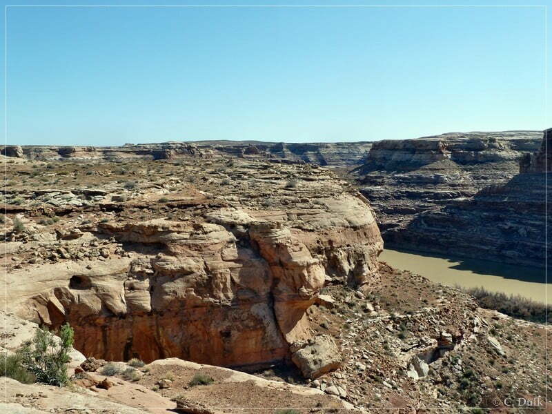
On the right we see a alcoven in a nameless side canyon:
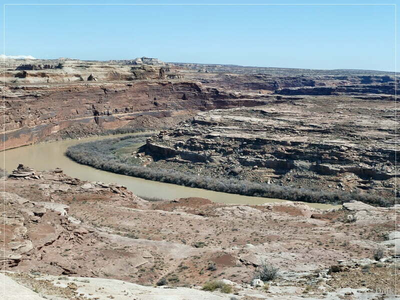
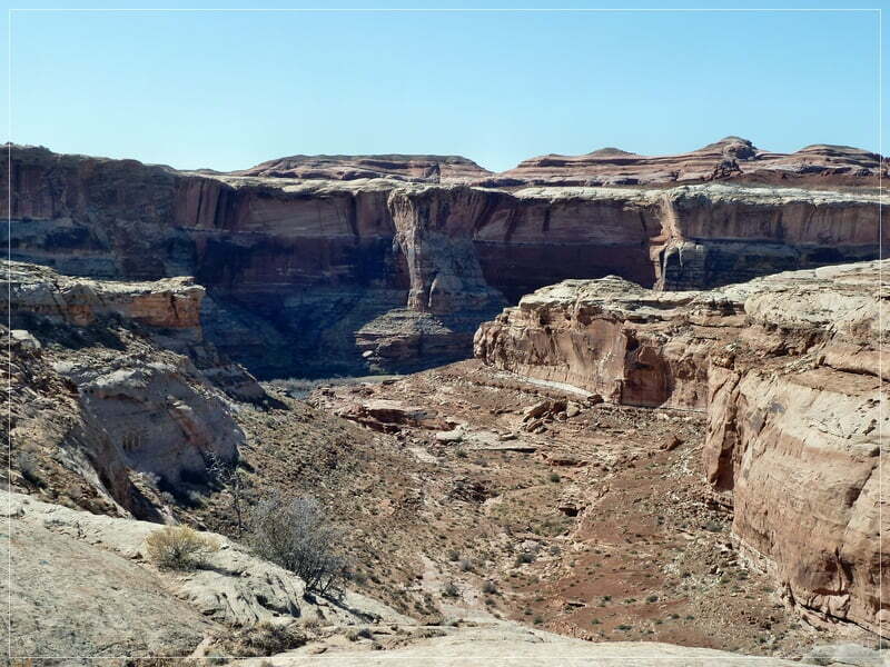
Here a view along this side canyon towards the Green River:
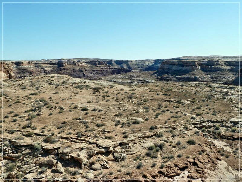
We went up the hill and enjoyed the views:
Further down on the opposite side of this hill we parked…
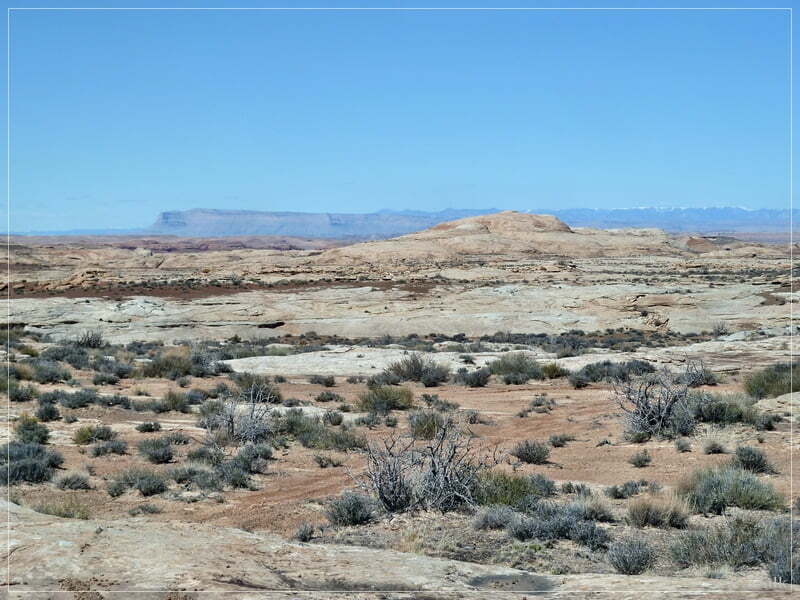
…and enjoyed the scenery:
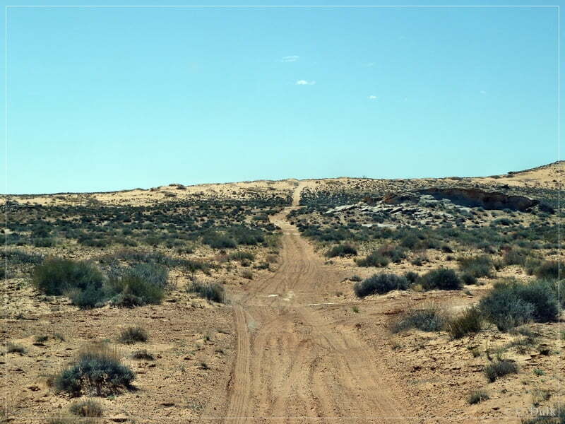
Later we went back to Ten Mile Point Road and used this trail to go back to Moab.
For a better orientation, one can download a gpx file of this trip:
Tracklog: Ten Mile Rim Trail, Moab, UT (1087 downloads )
And here is an overview of the area, we visited:


